September 21, 2025
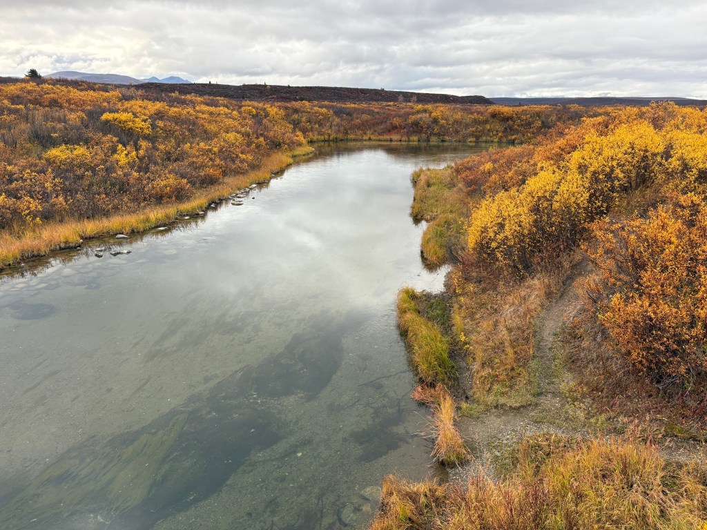
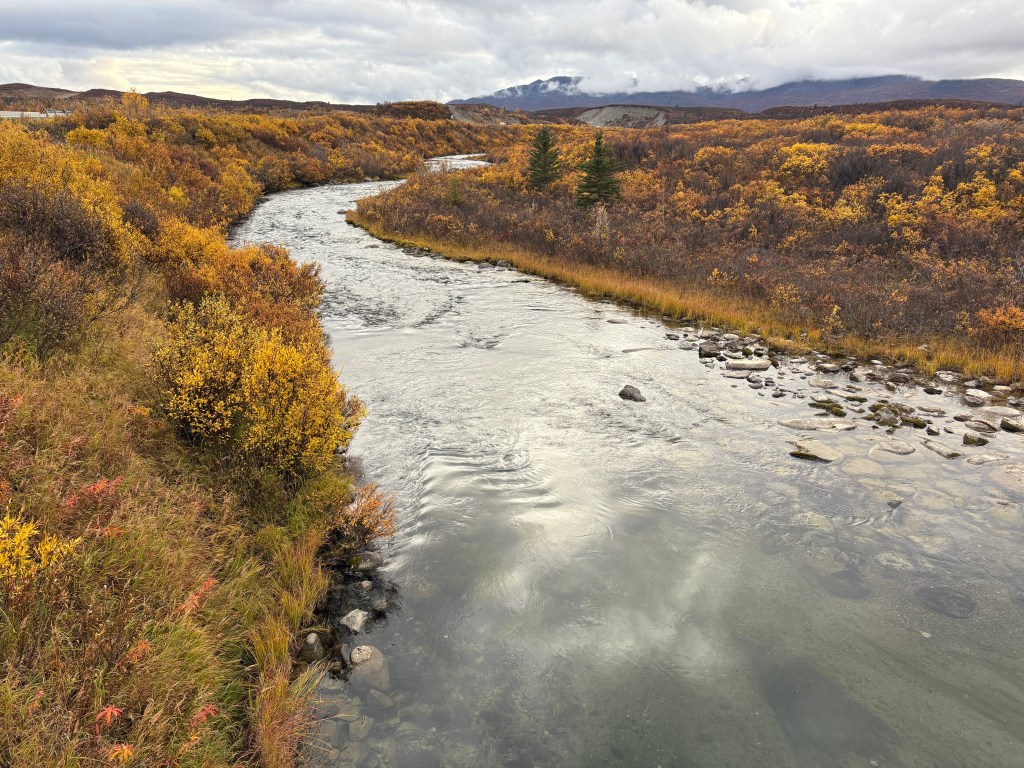
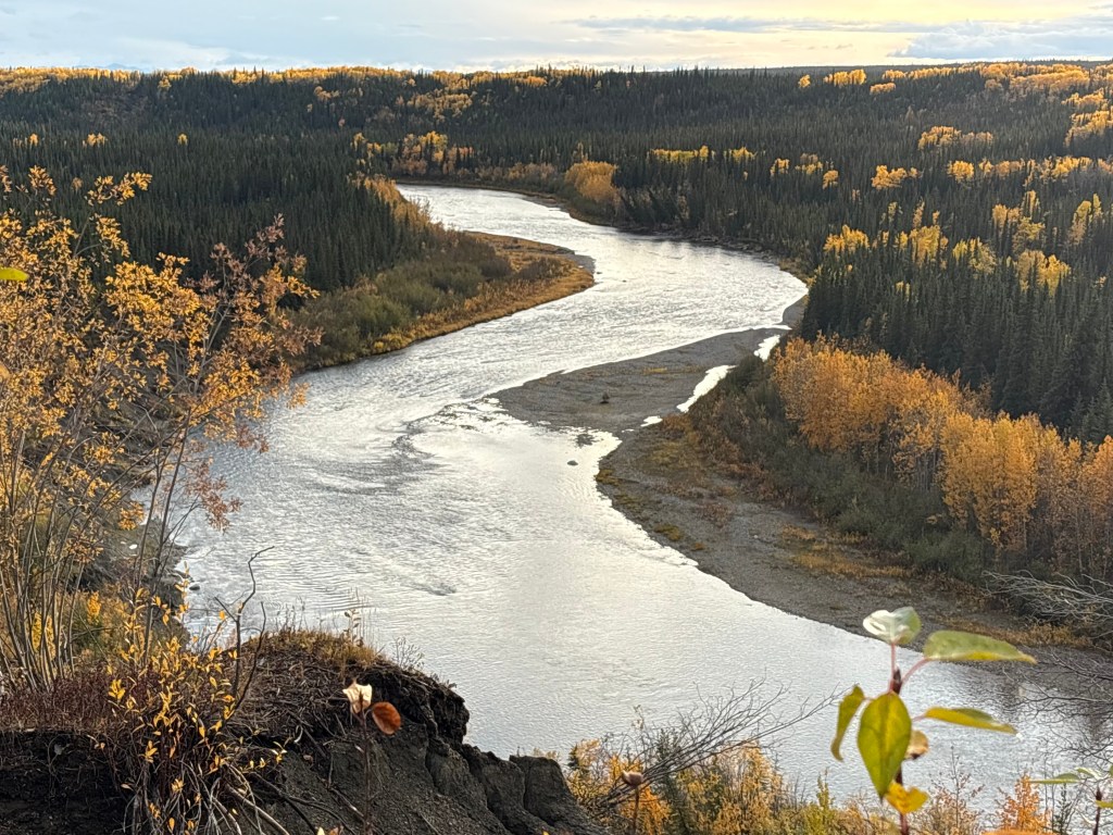
And finally, here are some of the things I saw on the last leg of my 234 mile journey south from Fairbanks. This stream was just off the highway. There was a metal overlook that I took the photos from and signage that indicated it is popular with fishermen. I didn’t see any fish or fishermen in the area.
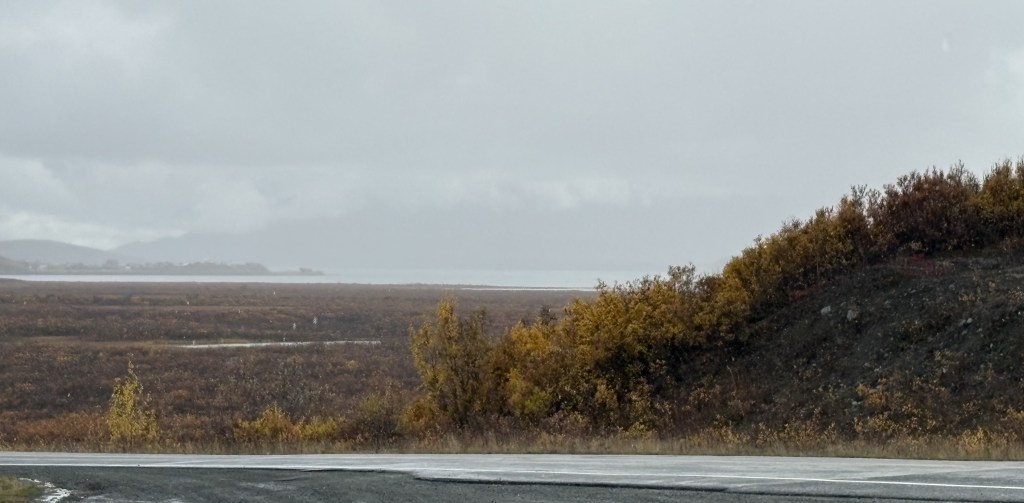
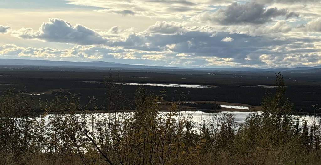
And further down the road I came to Paxson Lake. The clouds were lifting some but they still looked rather ominous. The lake surface was almost perfectly calm.
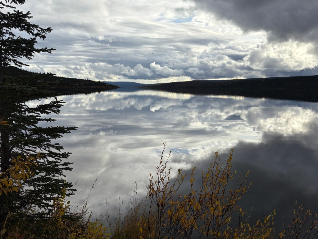
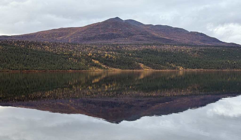
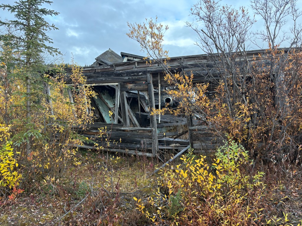
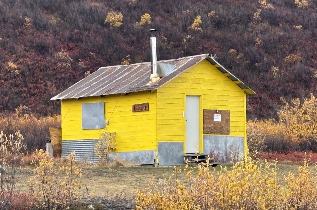
That dilapidated house was at the spot where I took the two photos of the lake. As I was walking down to where I took the first photo I thought “this might be the last picture I ever take…” but there hadn’t been any vehicles out by the road and although there was a picnic table down by the water, there wasn’t anyone else on site.
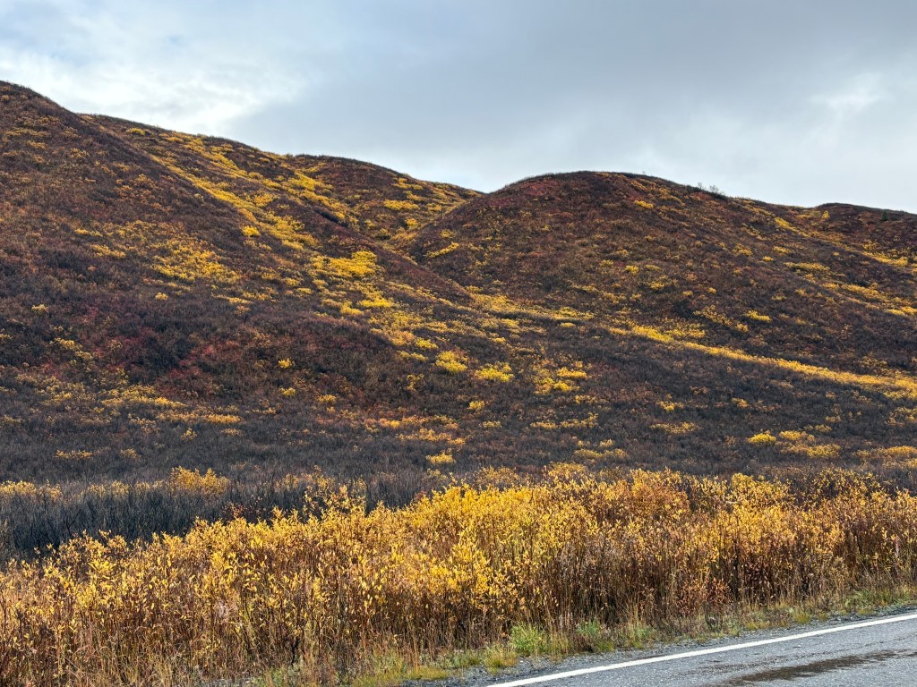
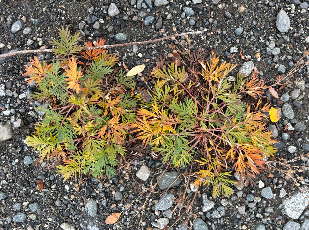
As I was walking back to my car I noticed this plant down by my feet. It might help explain the multi-colored shrubs I have been seeing.
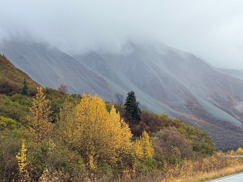
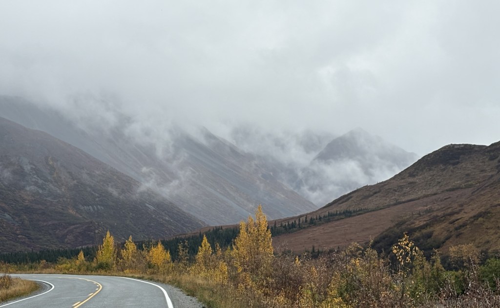
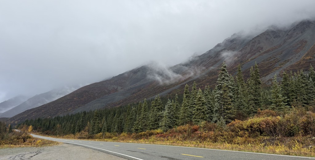
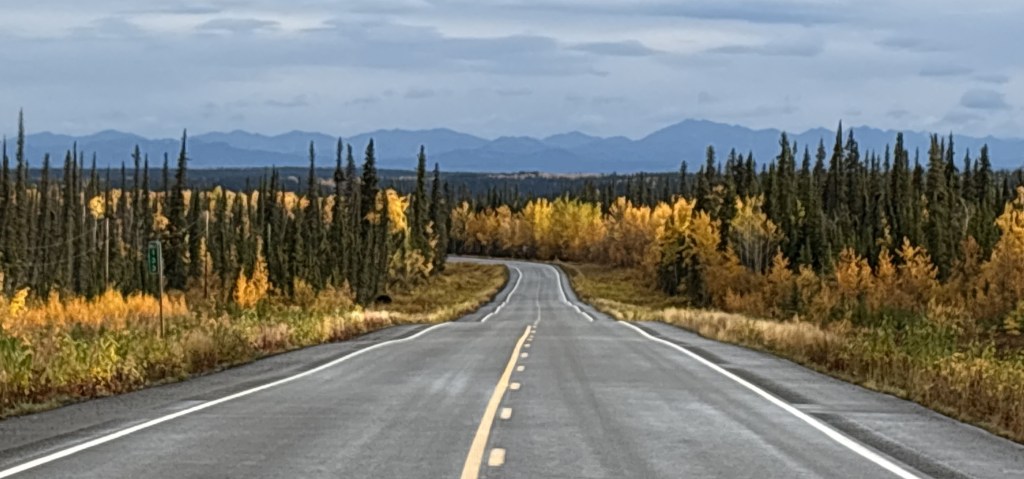
As I drove even further south the clouds started to break up some.
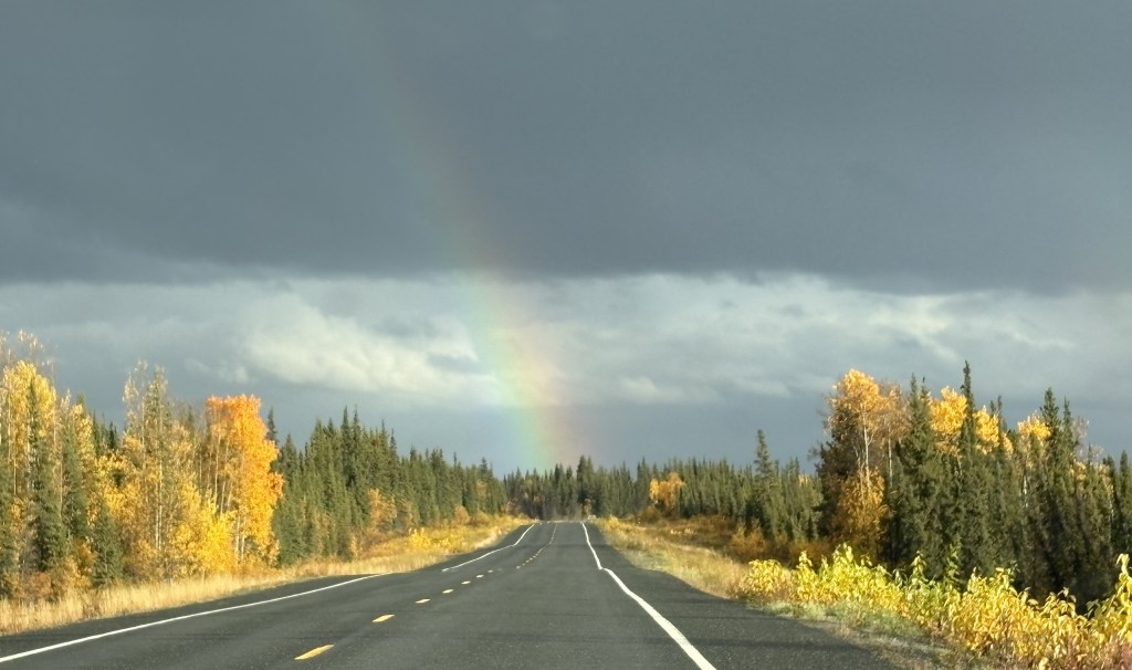
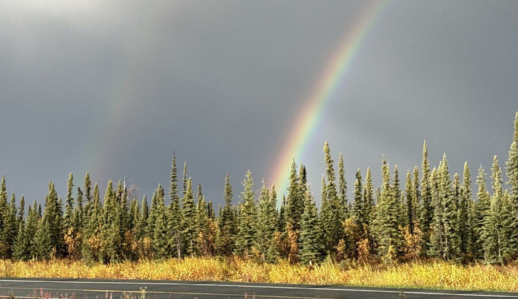
I could see some dark clouds in my direction of travel, though, and it looked like they were dumping a good bit of rain. Fortunately the road took me around it and I was soon treated to this rainbow ahead of me.
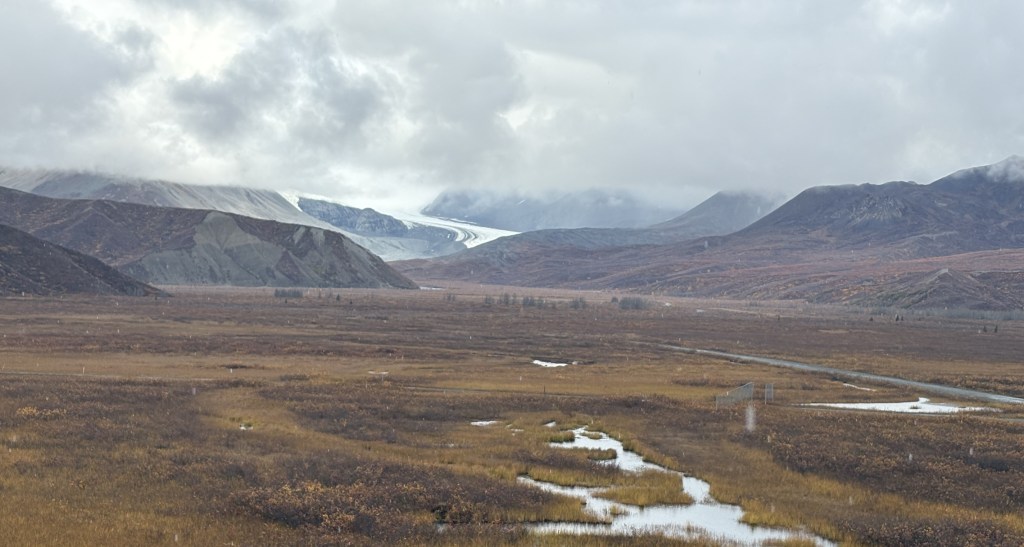
I could soon see the mountains of Wrangell St.-Elias National Park in the distance ahead of me.
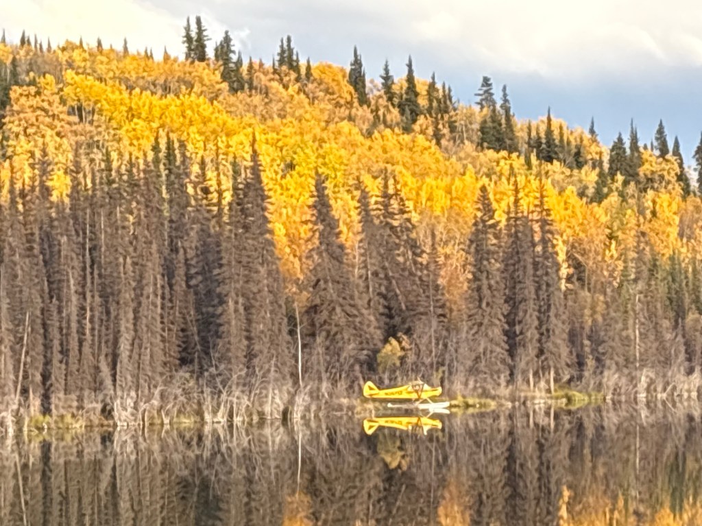
Shortly before I arrived at Gakona Junction my eye caught this yellow sea-plane parked on a lake next to the highway:
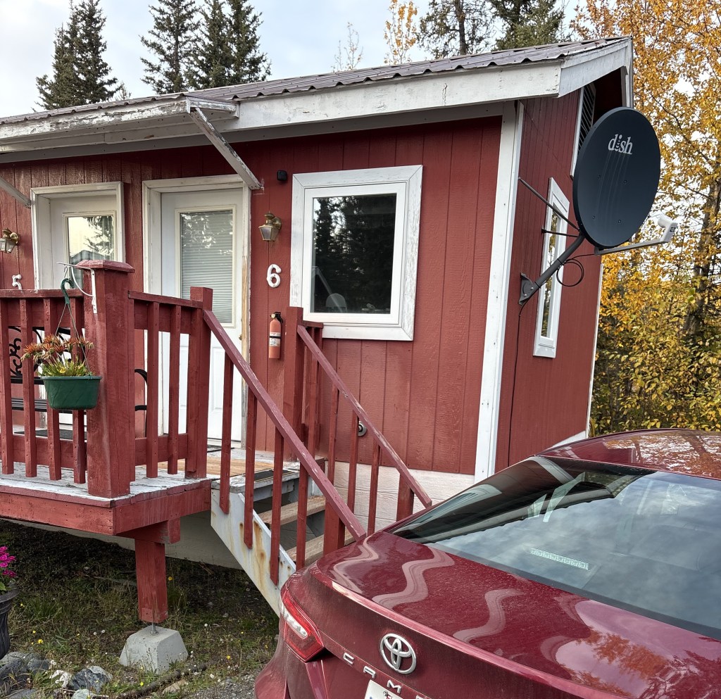
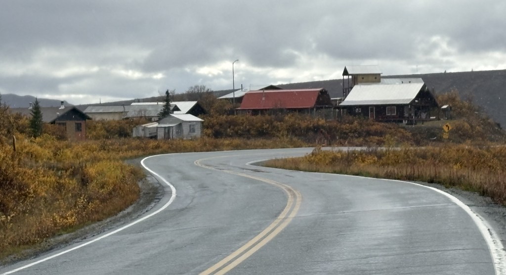
I finally got to Gakona Junction which is where Hwy 4 intersects Hwy 1. The town of Gakona was just a short distance east on Hwy 1. I had driven through it on my way from Tok to Anchorage and remembered that there were some cabins there. Fortunately some of them were listed on Airbnb so this is where I will spend the next two nights.