Delta Junction to Tok – Post 2 of 2

October 7, 2025

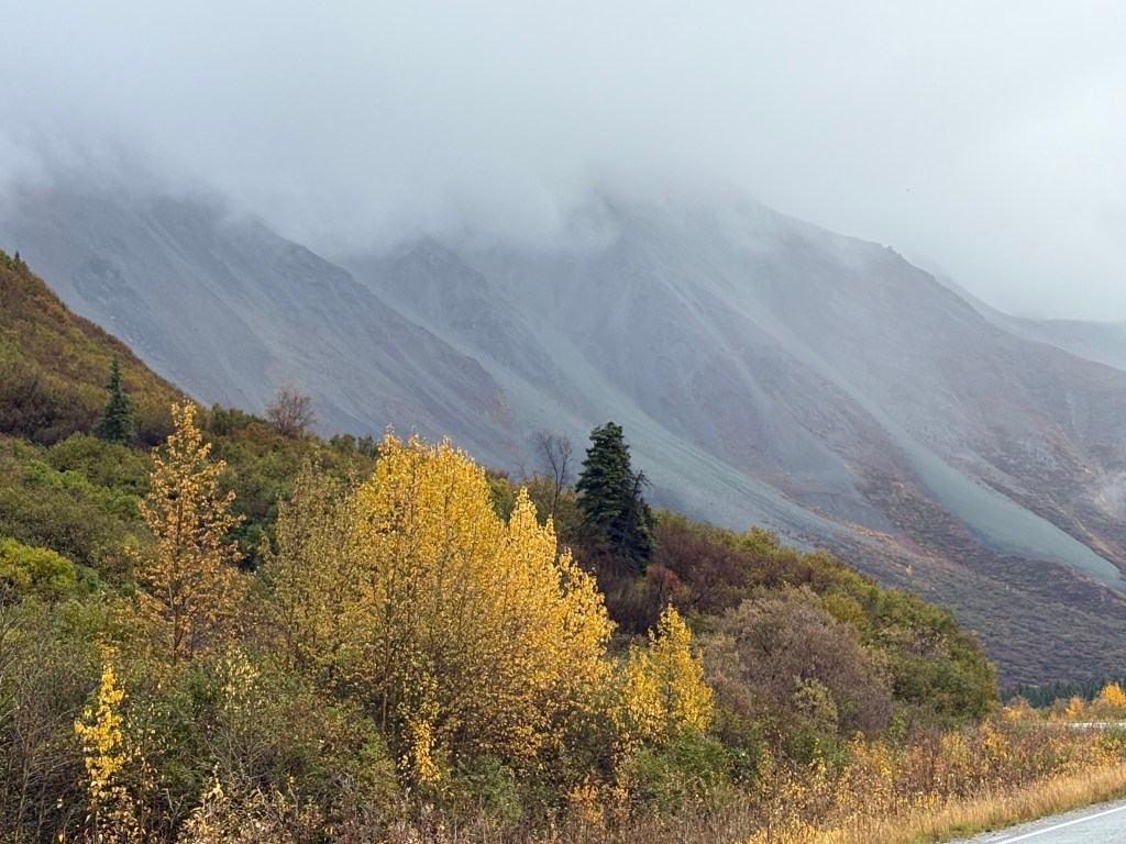
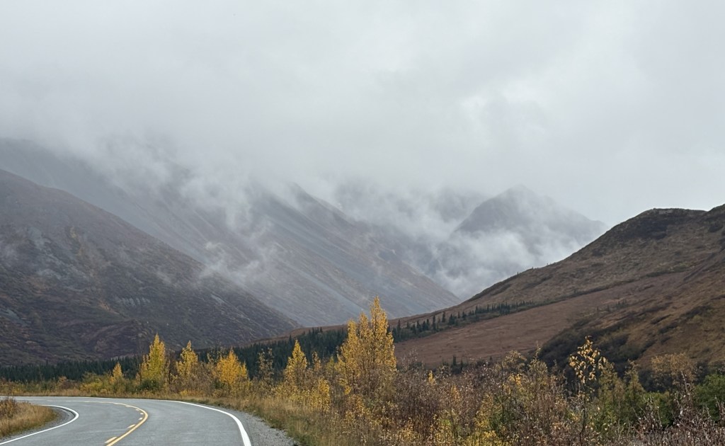
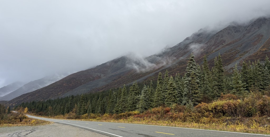
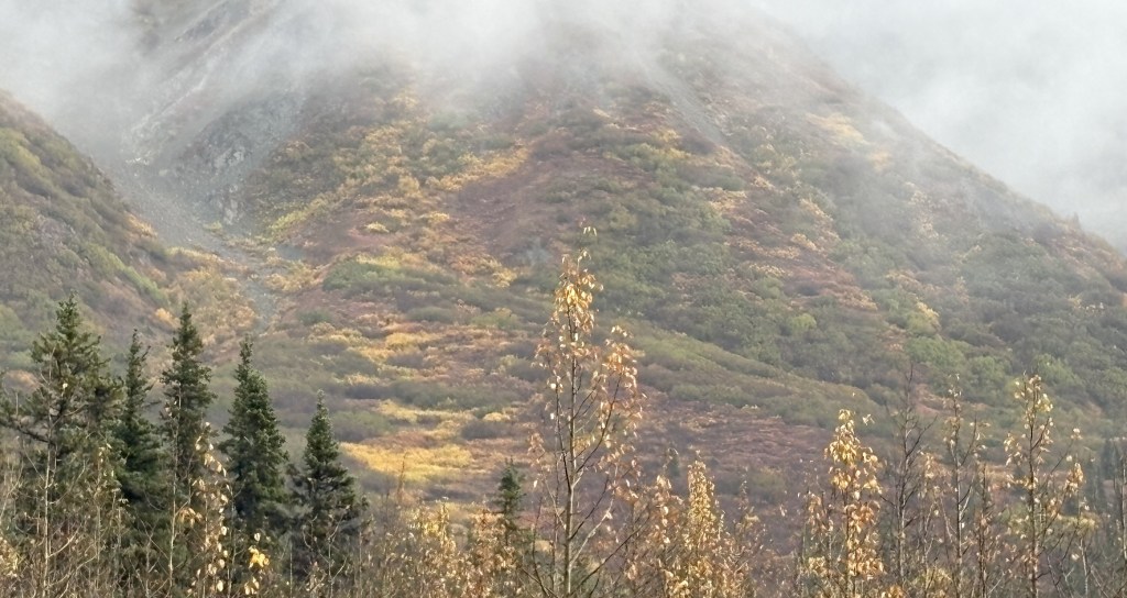
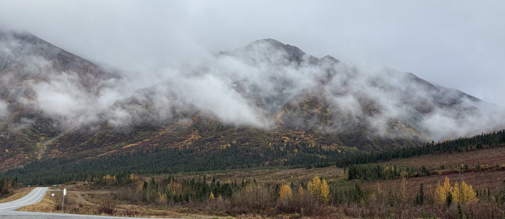
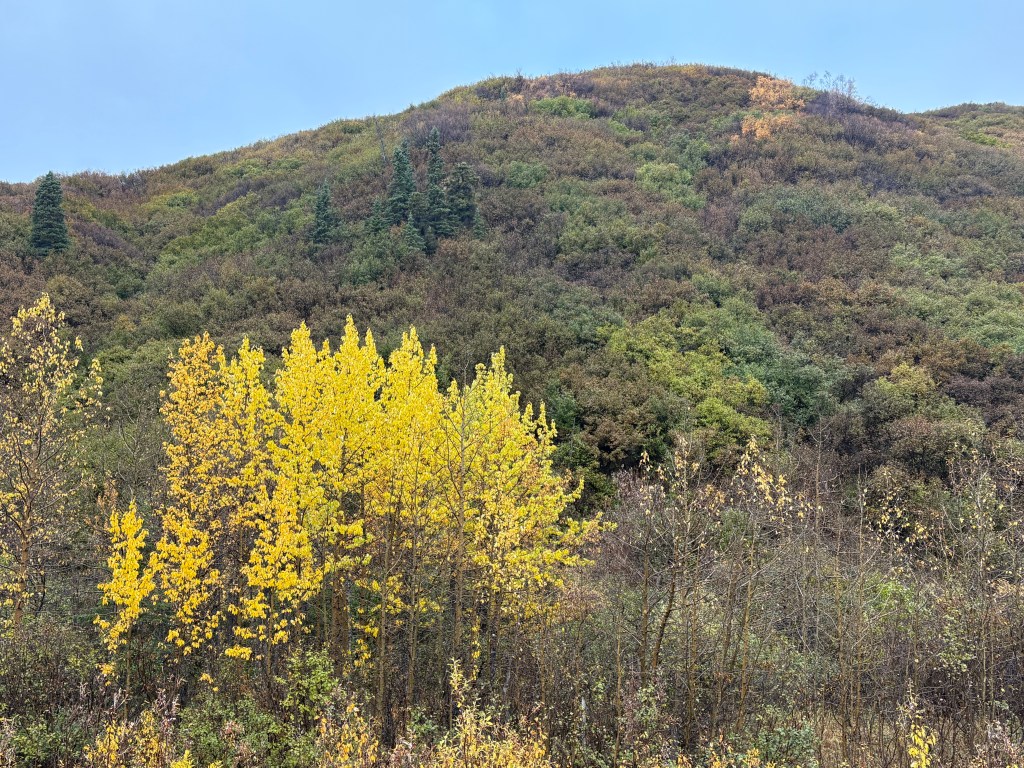
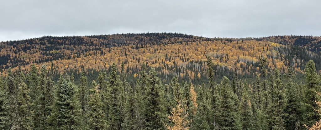
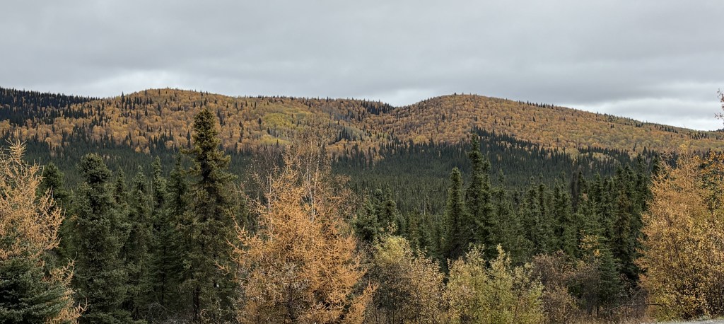
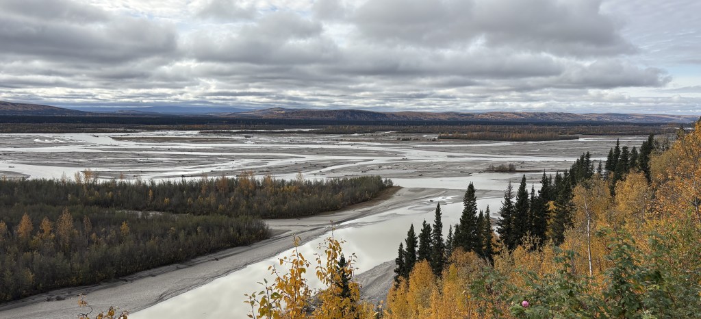
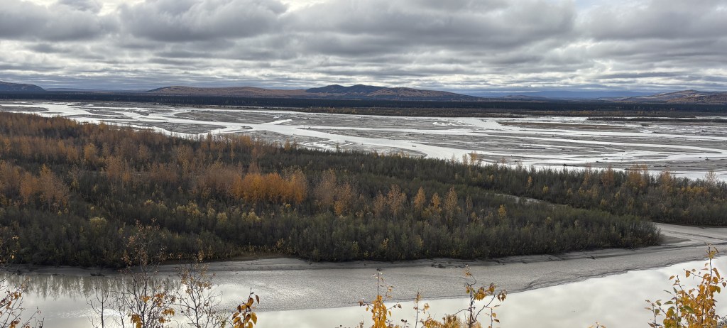
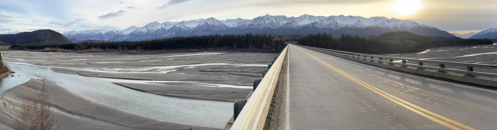
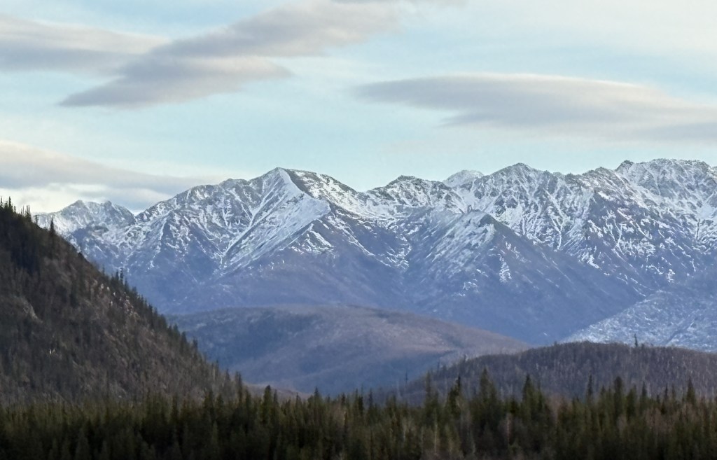
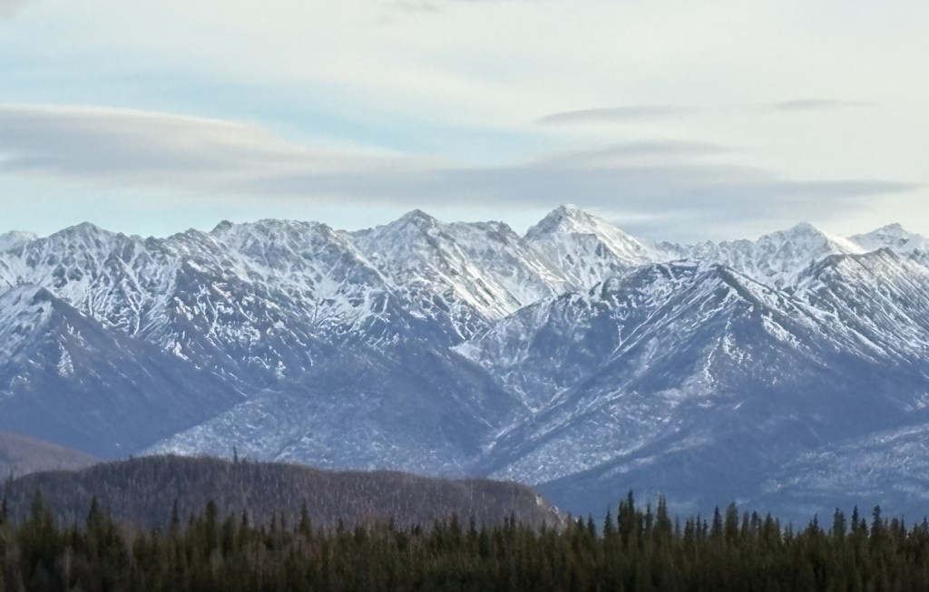
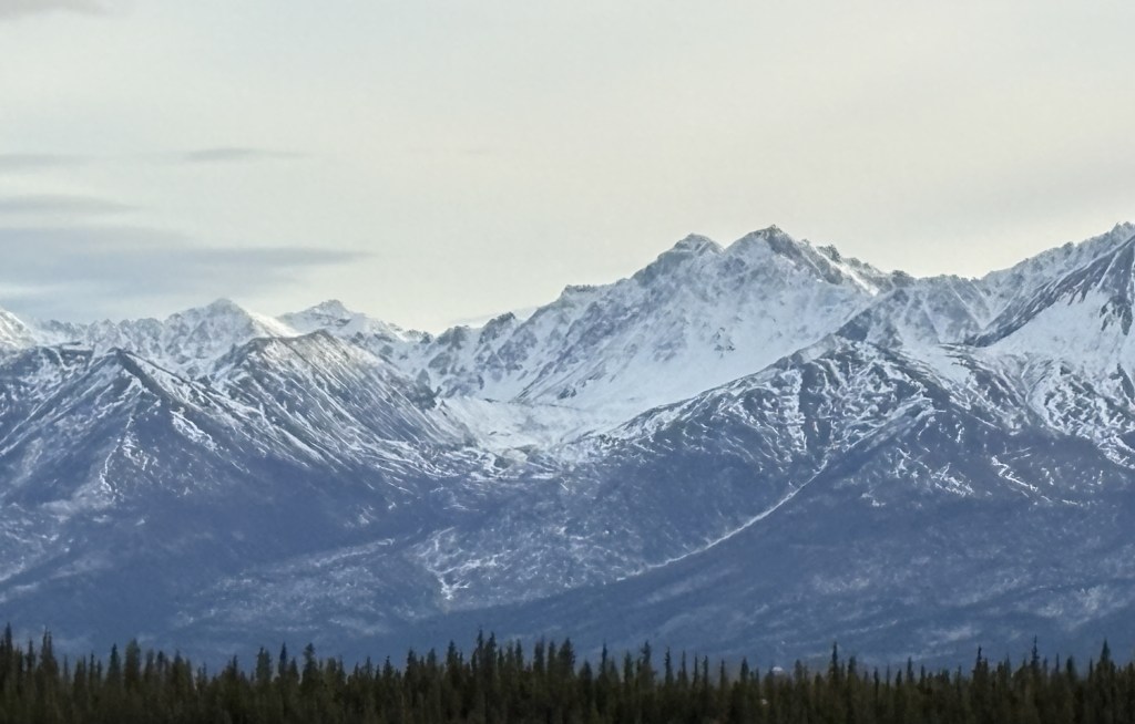
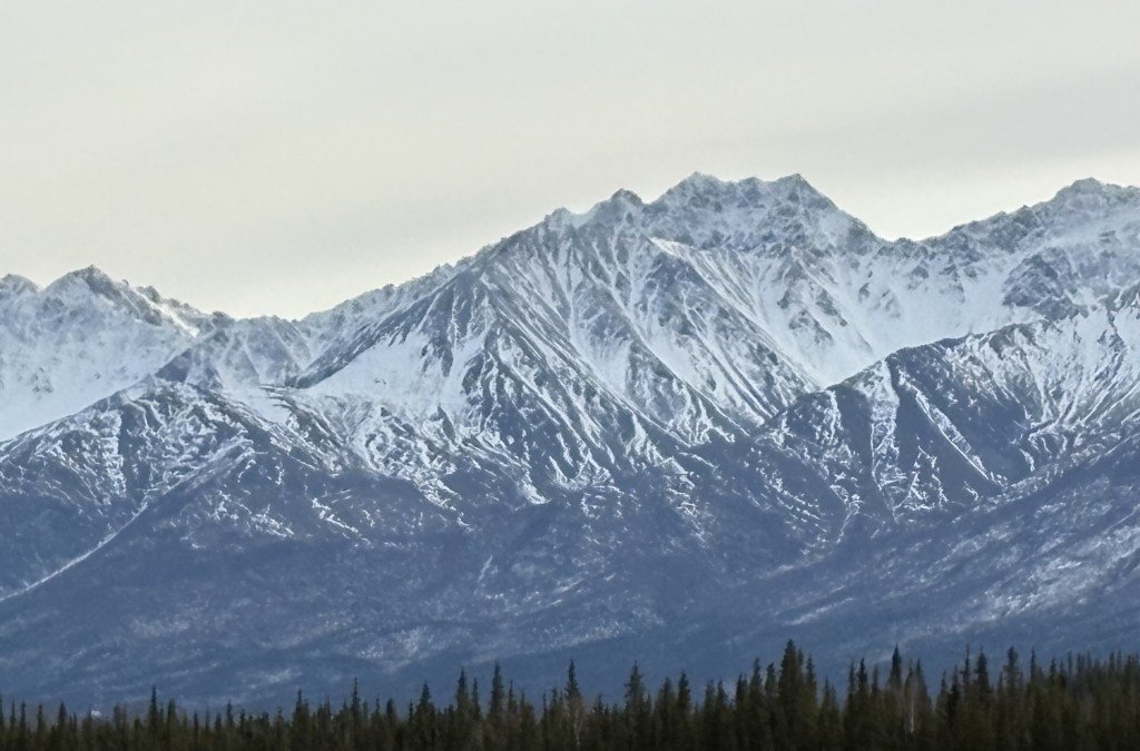
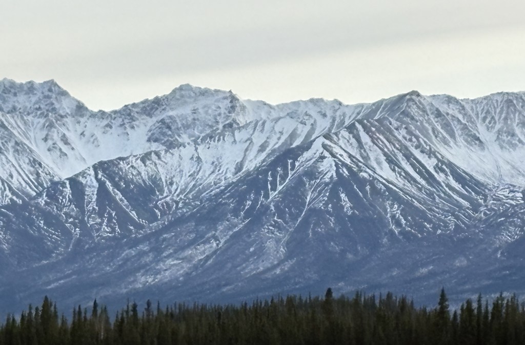
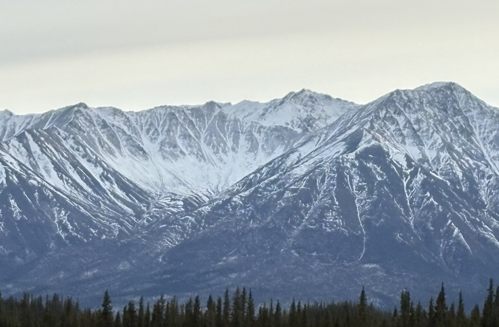
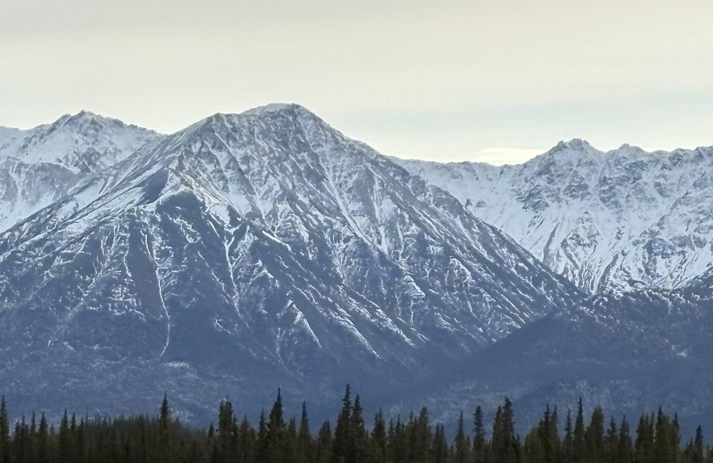
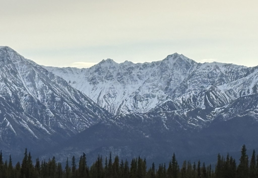
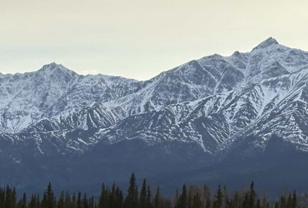
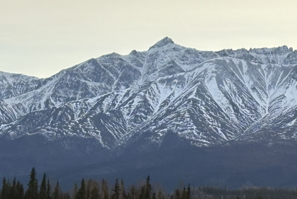
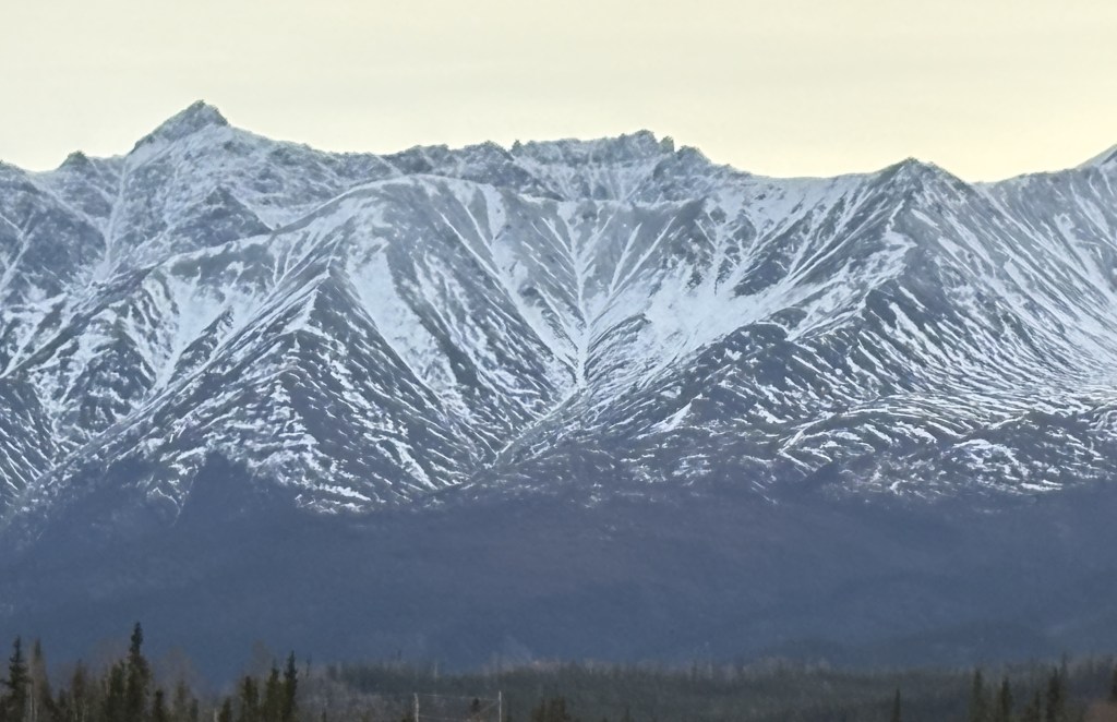
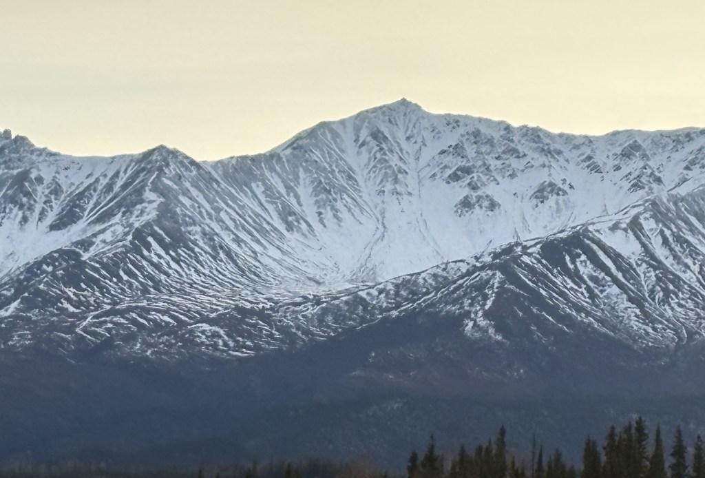
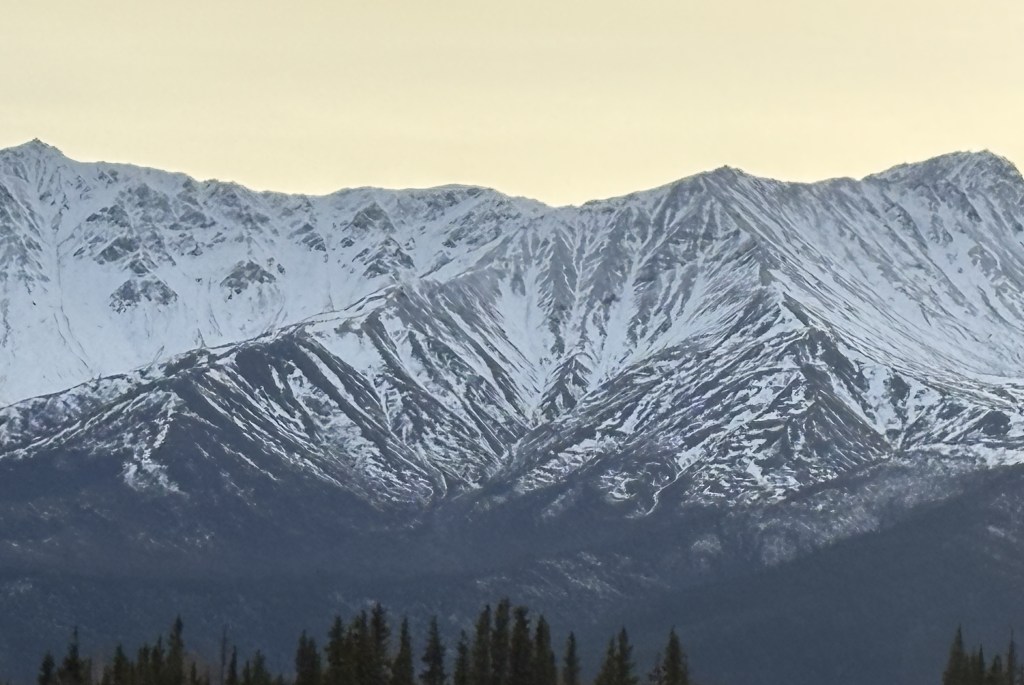
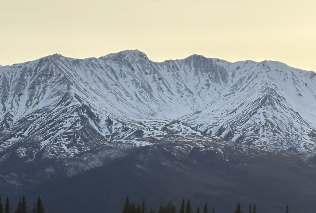
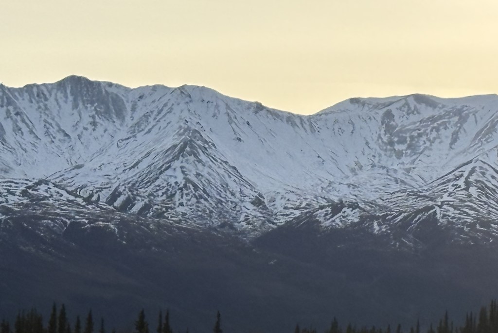
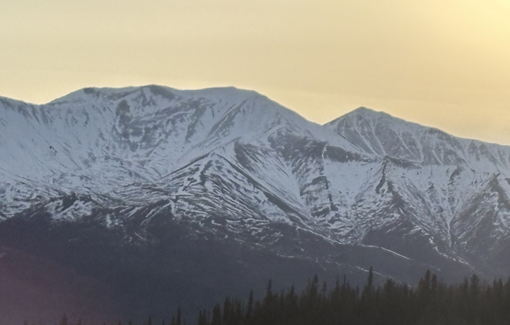
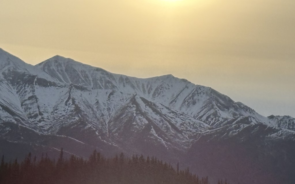
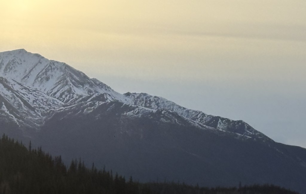
Here is one more of my multi-photo panoramas. This mountain range was beyond a long bridge I was approaching. I took a “conventional” single-shot panorama photo with my iPhone and will post it first to show the entirety of the range. It will be followed by a bunch of photos, taken with my iPhone, panning from left to right. The mountains were much closer than they appear in the single shot, one reason I don’t take that many of that type of photo as they end up being too small to see much detail when posted. I tried crossing the bridge to get even closer but then the low pine trees were blocking part of the mountains, so I came back to this end of the bridge.

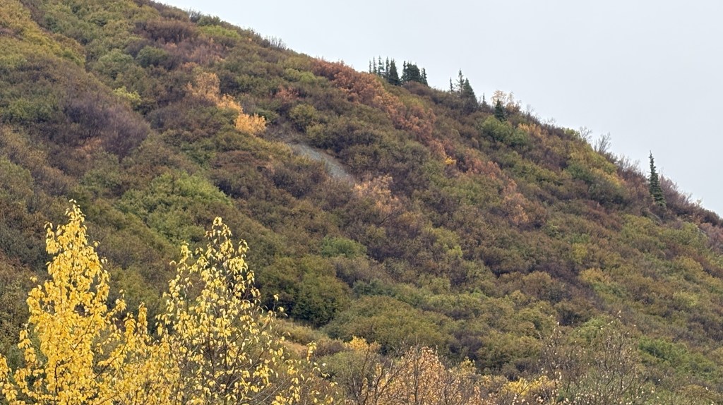
Here are the individual photos:

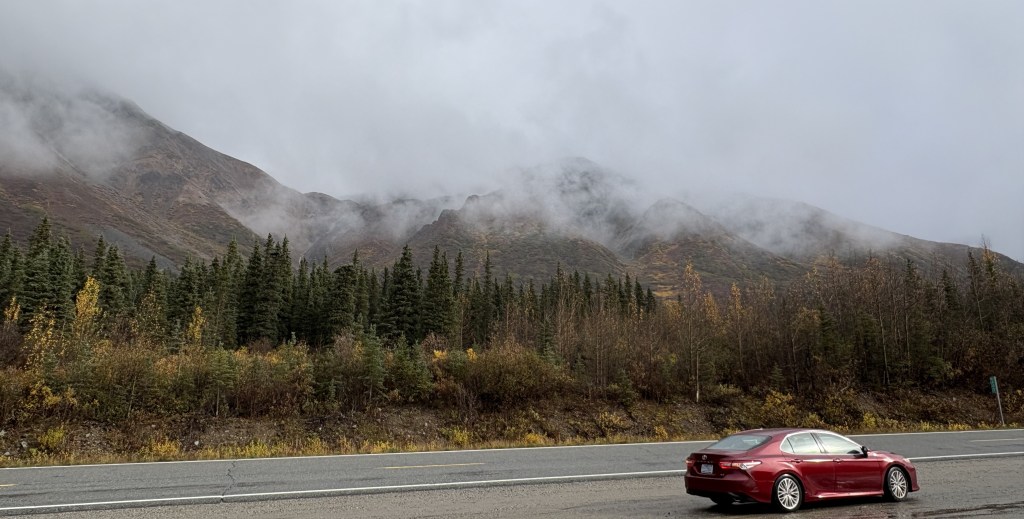
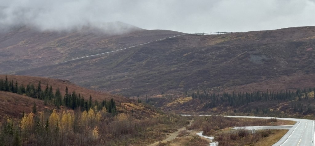
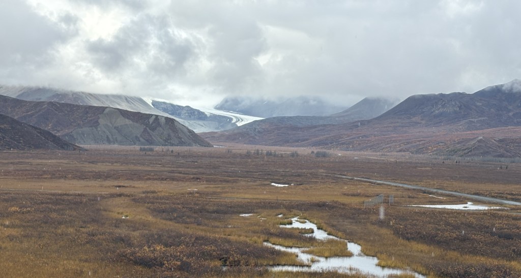
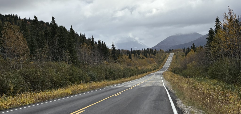
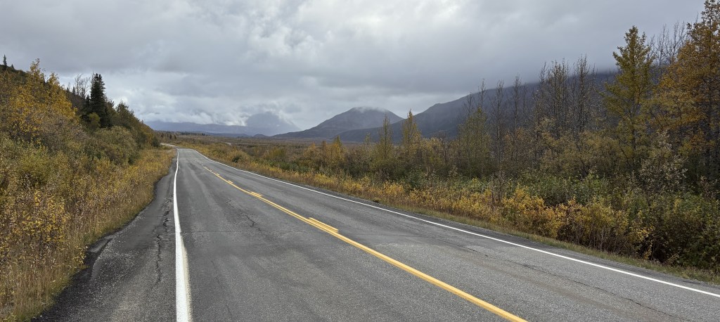
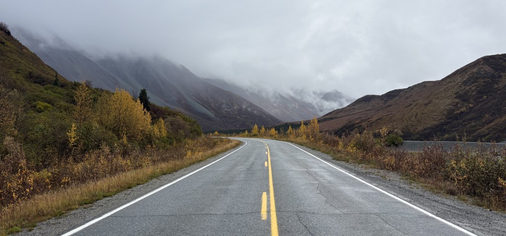
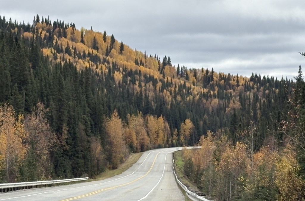
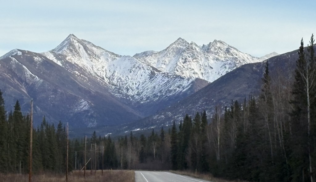
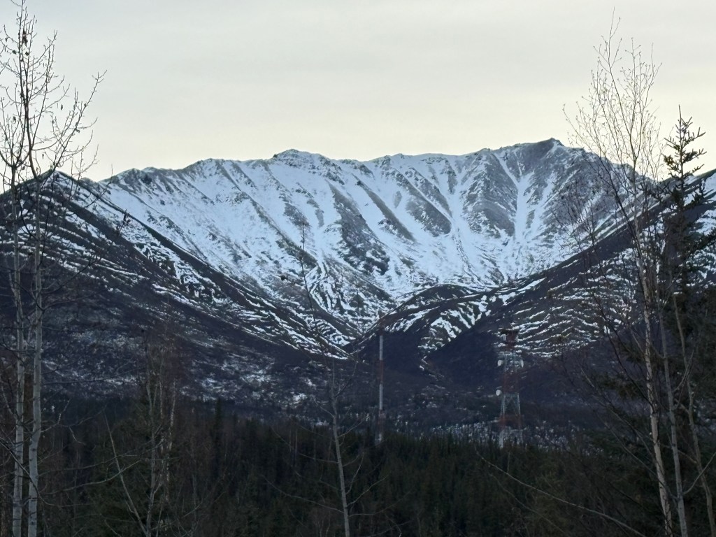
I continued driving towards Tok and saw these two sets of mountains ahead of me, further down the road.

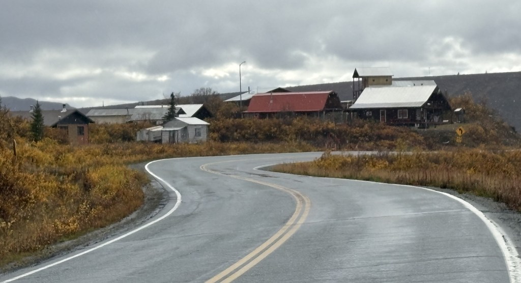
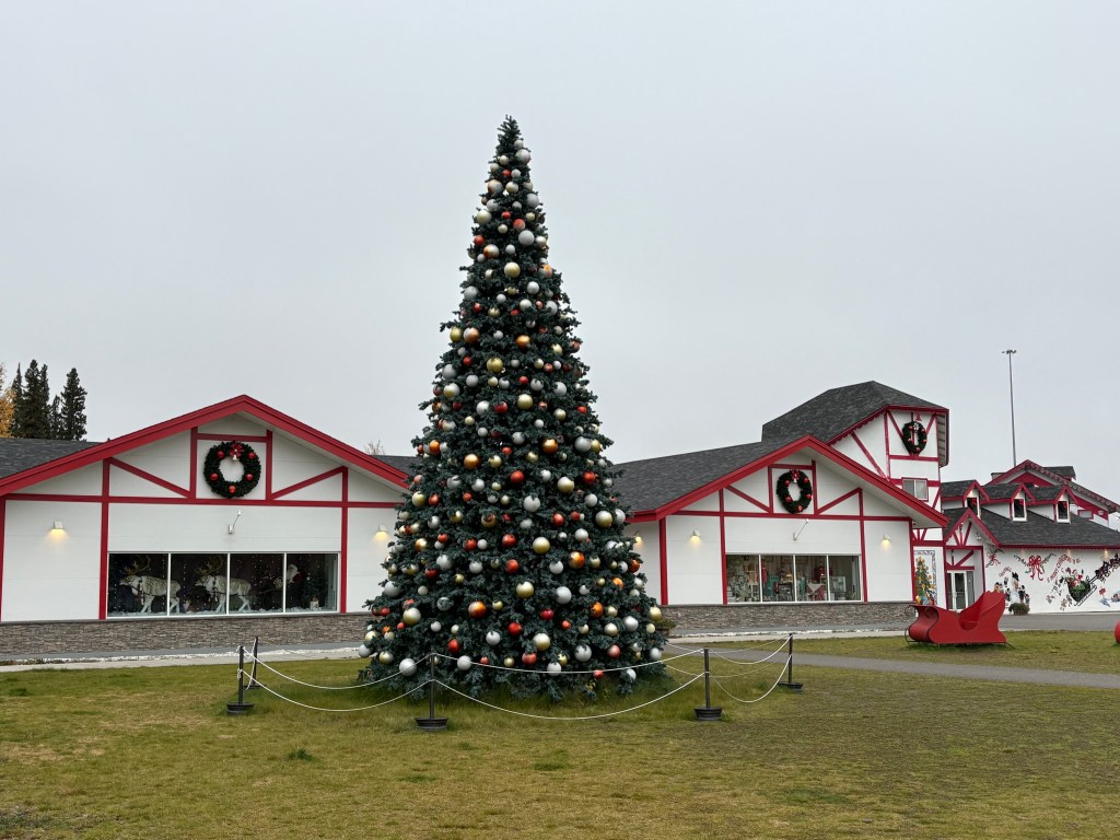
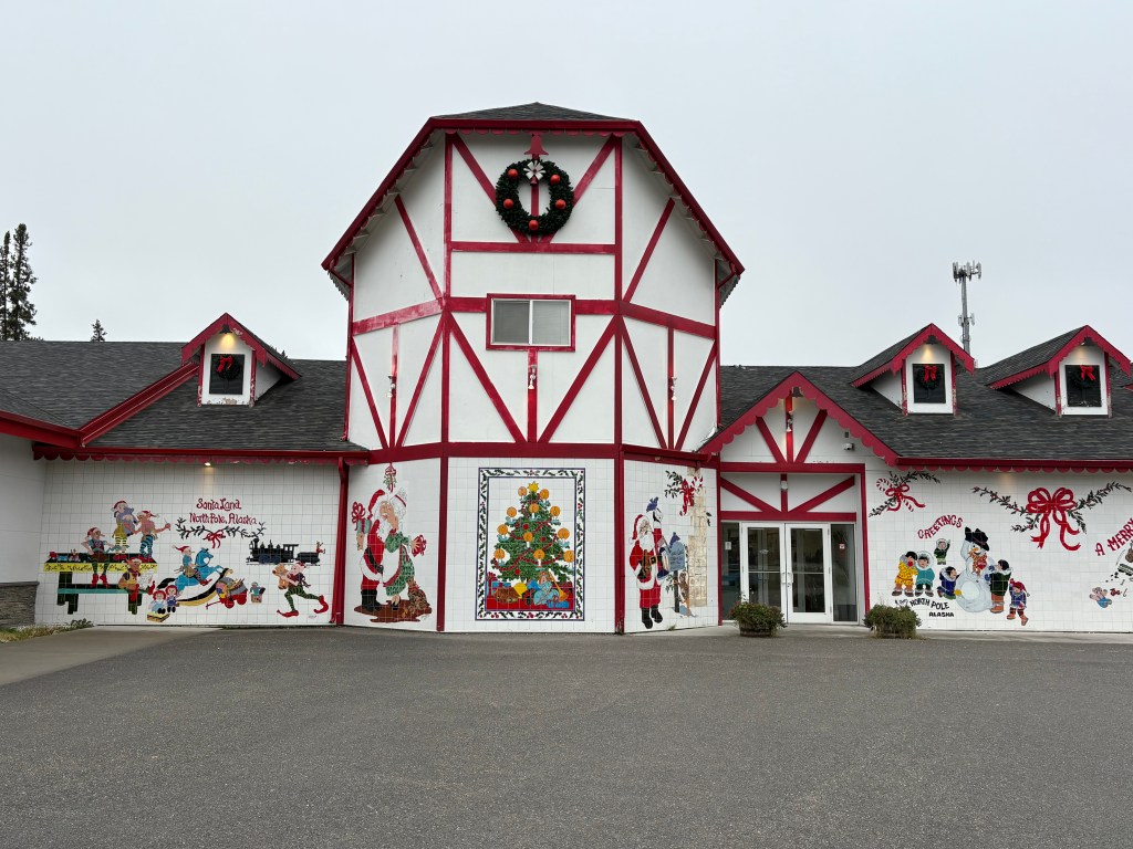
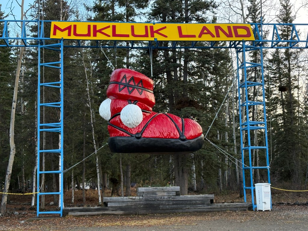
As I was approaching town I saw this entrance to a touristy area next to the road, but it was closed for the season.

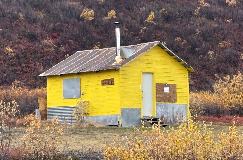
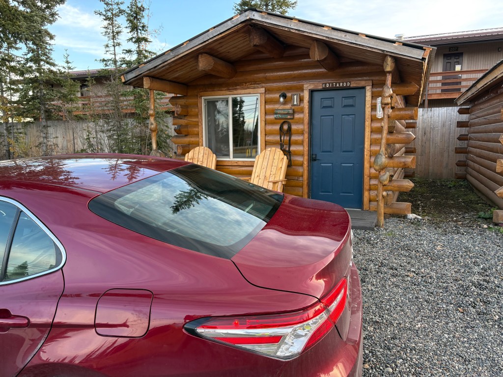
I finally arrived in Tok. I was staying in a different place than I did when I arrived in Alaska. This was my little cabin. I was very modern inside, and I wish it had been available on Airbnb when I arrived in Tok a few weeks ago.

After getting my stuff for the night moved in from the car I decided to treat myself to a steak dinner at one of the few restaurants in town.

This will not be my last night in Alaska. After crossing the border into Canada tomorrow I will drive south in the western part of the Yukon Territory to the town of Haines Junction. The next day I will drive further south and cross into the panhandle of Alaska to go to the coastal town of Haines, and then I will take a ferry to another coastal Alaska town – Skagway.

Fairbanks to Gakona – Part 3 of 4

September 21, 2025

Here are more of the things I saw as I drove south on Hwy 4.

I was approaching some relatively tall mountains just off the left side of the road. The low clouds kind of swirled around and one or two times that I stopped to take photos I just stood and watched them for a few minutes. With no one else around it sometimes felt kind of spooky.

I spotted the Trans Alaska Pipeline, this time off to my right.

Further up the road the pipeline came down the hill to a river and then went underground. You can also start to see more of the multi-colored vegetation I mentioned in a previous post. There will be places on this stretch of road where it comes very close to the highway.

After the tall mountains the area around the road opened up a good bit, though visibility wasn’t very good and it had been raining lightly. I would soon come to a large lake right next to the road.

After I passed the lake I came to gathering of houses. There were no signs, and I didn’t stop to explore any. I believe it is the town of Paxson, which is described online as a “census-designated-place” with a last known population of 26. It is the only “sizeable” town shown on the map between Delta Junction and Gakona Junction.

And there was this small cabin standing by itself just after the “town,” but it was boarded up and is perhaps a hunting cabin of some sort.

(Continued in next post)

Fairbanks to Gakona – Part 2 of 4

September 21, 2025

Here are more of the things I saw as I drove south. About 20 minutes after having seen where the Trans Alaska Pipeline was hoisted over a river I arrived in the small city of Delta Junction. As you will see, this is there the Alaska Highway ends.

Oh, and there is a much-larger-than-life mosquito here, too.

Why, I don’t know….

After taking a lunch break here I continued south, this time on Hwy 4. Highway 2, which had brought me down from Fairbanks, goes southeast from here to get to Tok, AK and eventually the Canadian border. I will take it when I leave this part of Alaska later in my trip.

As I drove south on Hwy 4 I continued to pass low mountains, but I would drive through another portion of the Alaska Range of taller mountains, though they were further off the highway. It had been overcast all day and some of the clouds were starting to lower.

Looked like a long drive….

I passed another military training site but there didn’t seem to be anything going on. I presume it is for training in cold and snowy conditions. All I could see was a building next to the highway.

If there hadn’t been a sign there I would have driven right past it.

As you may have guessed looking at some of these photos, after Delta Junction there are no towns or villages out here. I saw a small number of motels that were closed and abandoned, but no stores, gas stations or residential housing. In the winter I doubt if this portion of the highway gets much traffic unless the military is engaged in training exercises. I had hardly seen any traffic when I was on Hwy 2, and saw even less now that I was on Hwy 4.

The road just went on and on, and it didn’t look like I was going to get a very good look at any on the mountains due to low clouds.

And the hillside right next to the highway kind of closed in for a short while.

(Continued in next post)

Fairbanks to Gakona – Part 1 of 4

September 21, 2025

When I arrived in Fairbanks two days ago I had just driven the final two hours north and east from Denali National Park. It was an uneventful trip, and I didn’t stop to take any pictures. The scenery was pretty much open and there really wasn’t much to see.

I have a long drive today to get way down to Gakona and will stop and take pictures throughout the day to memorialize my trip. Here are some of the things I saw as I drove south on Hwy 2 as far as Delta Junction.

My first stop was in North Pole, Alaska – about 14 miles from Anchorage.

Basically a tourist trap, and while I didn’t go inside I did at least stop to take pictures. Even the McDonald’s off the exit got in the spirit by painting their highway sign like a candy cane.

Further down the highway I would drive through Eielson Air Force Base. The sign as I approached indicated they have quite a bit of hardware and personnel here.

The highway ran parallel to the runway and control tower. I did stop to take pictures of some planes parked on the tarmac but will not post them. I will elaborate later in my trip when I pass through this area again before leaving this part of Alaska.

The rest of the drive as far as Delta Junction was mainly near low, tree covered mountains.

I did drive next to a very wide river for a short distance. The water level was pretty low right now but I suspect it gets considerably higher as snowmelt makes its way to it from mountains upstream in the Spring and Summer.

Later I drove over a bridge and on my left was a section of the Trans Alaska Pipeline. There were stanchions and support wires to carry it over the river.

I will see the pipeline again later in the day.

(Continued in next post)