September 25, 2025
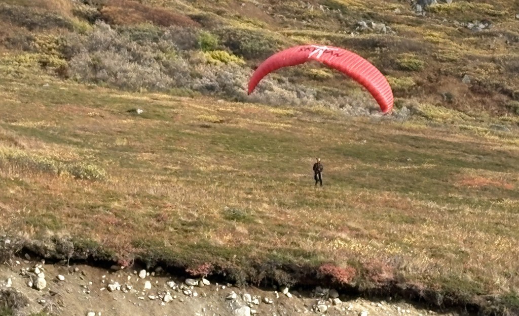
I had parked at the entrance to the Hatcher Pass access road to take photos of the paraglider coming in for a landing across the paved road. I then started to climb the dirt/gravel road to the apex of the Pass.
The road was mostly in good shape for that kind of road but there were some washboard spots and several bad potholes. I flagged down a vehicle which was coming down to ask if they thought it was prudent for me to continue. They said yes, just drive slow and watch for bad spots, but they had seen several regular cars at the top.
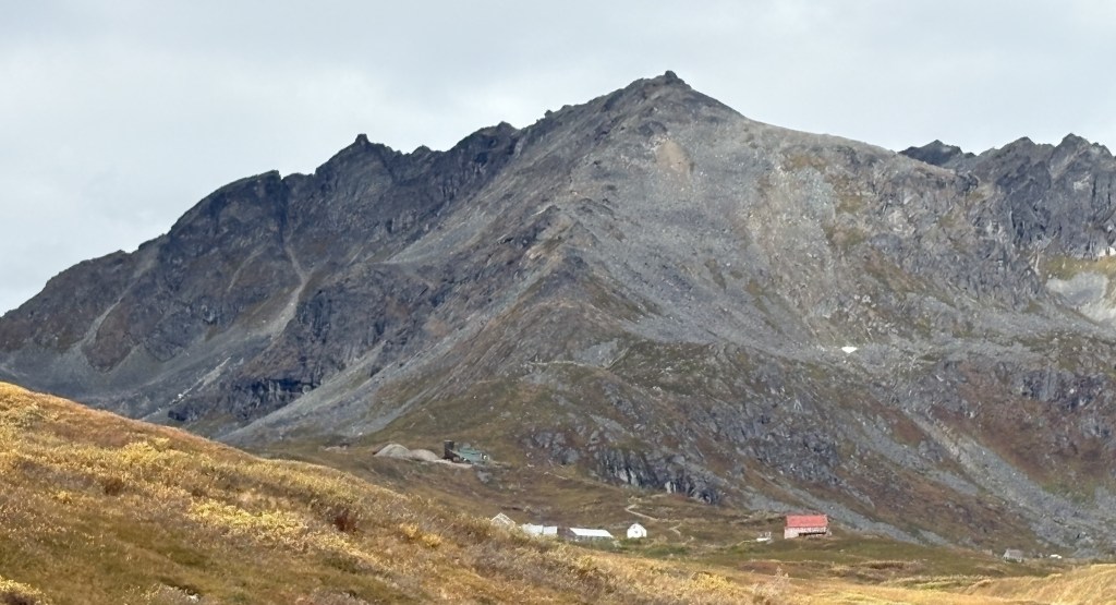
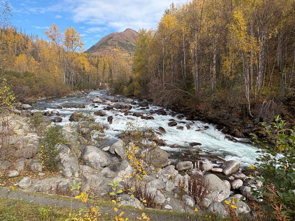
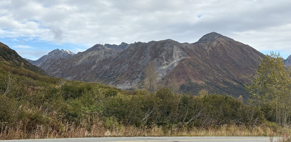
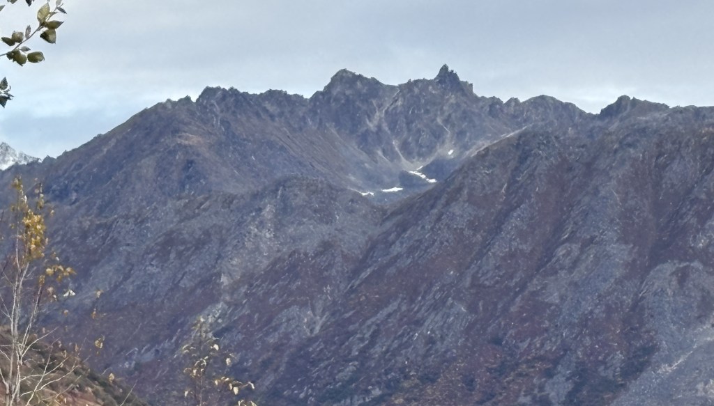
The mountain above is along the continuation of the paved road I had arrived on. That road continues on to the Independence Mine site.
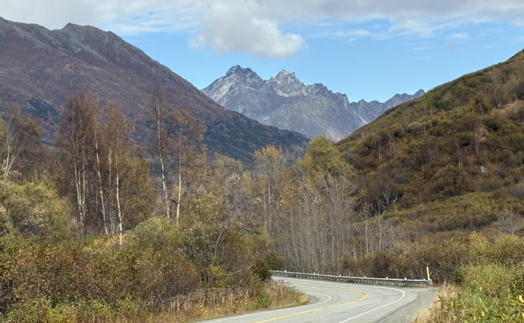
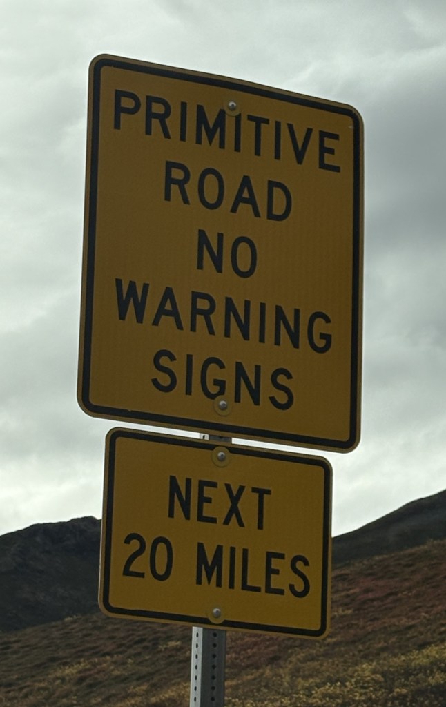
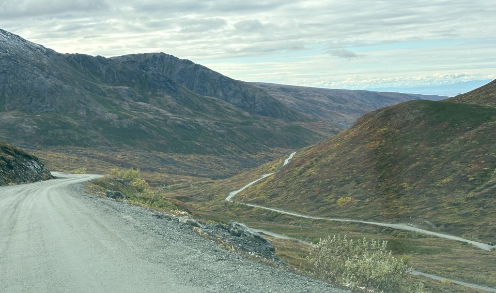
THIS is the road I will be on:
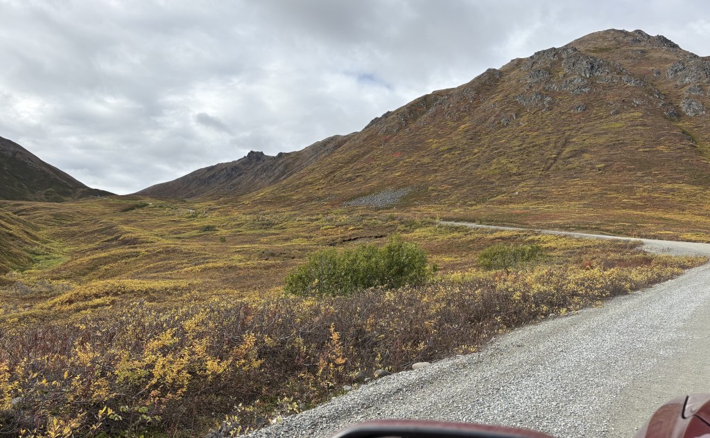
The photo above is looking back at the road behind me.
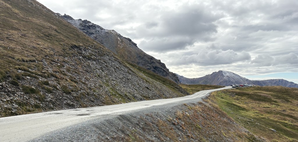
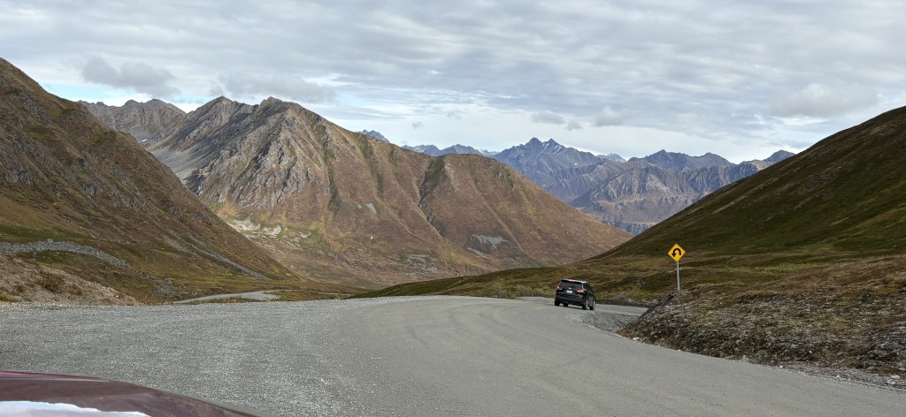
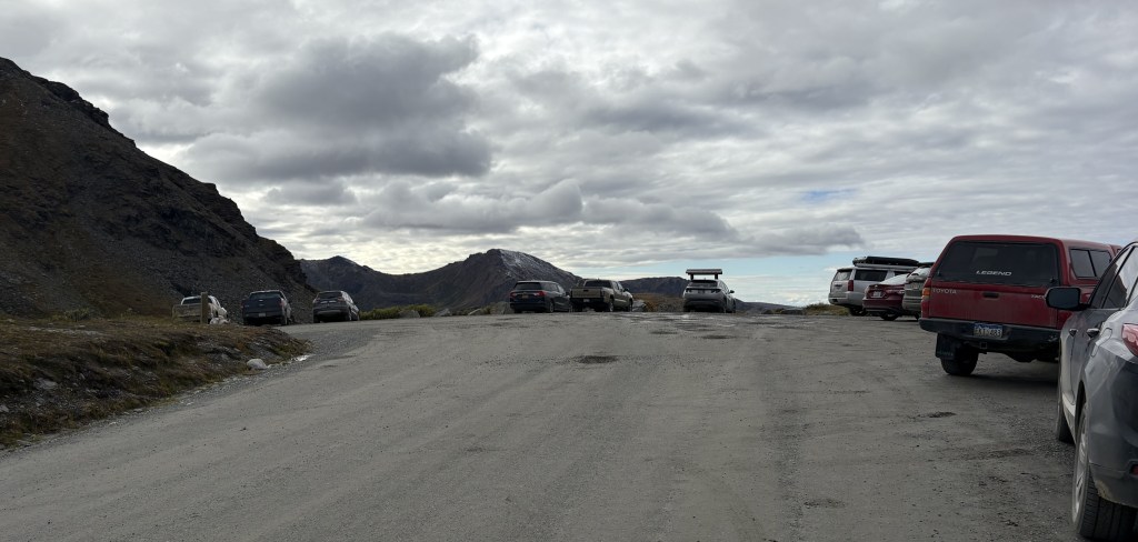
The photo above shows cars parked near the apex. You can also see some potholes in the road.
The sign when I started said “next 20 miles” but I believe the descent is longer than the ascent. It had only taken me about 7 minutes to get to this point (at a fairly steep angle) but I didn’t measure the actual mileage. I had also climbed quite a bit on the paved road getting up to the access road and now I would be going further down before going out to Hwy 3.
This was the view looking to the right from where I had stopped to take the photo above. In the lower left hand corner you can see part of the road going away from the apex:
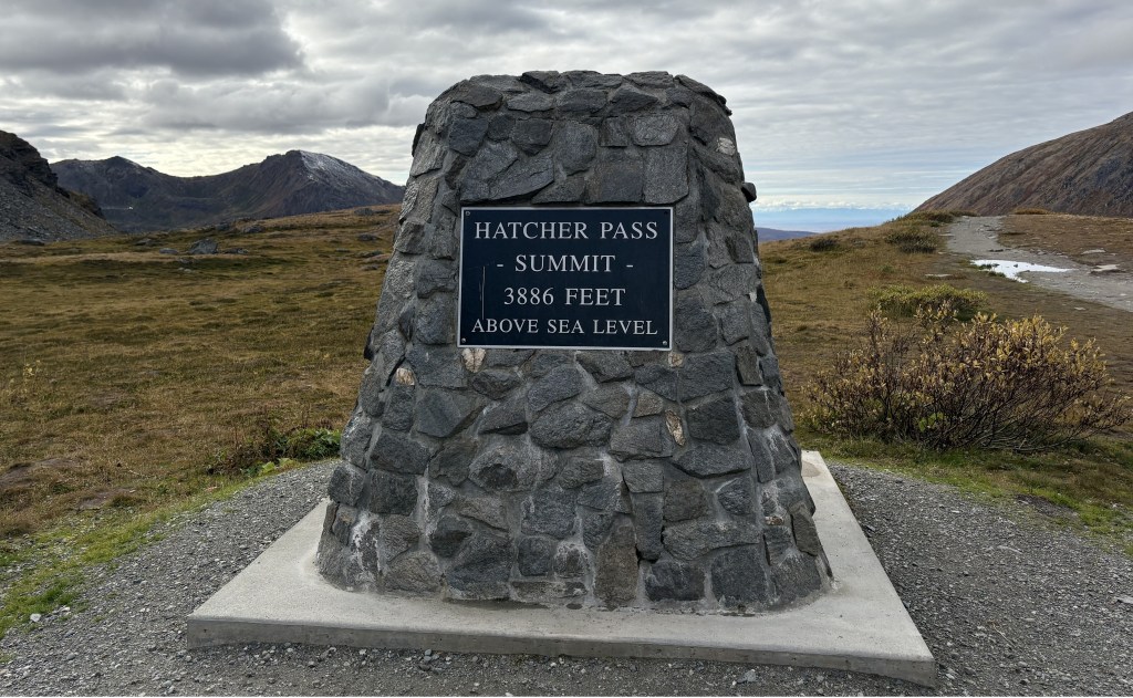
I finally parked at the top:
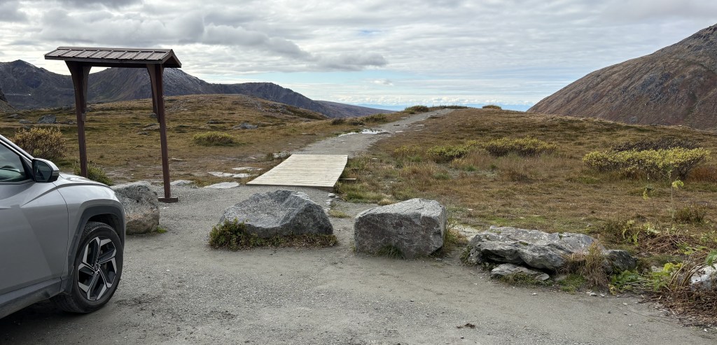
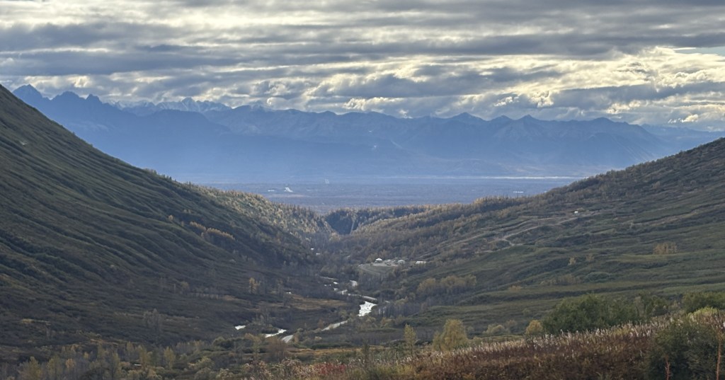
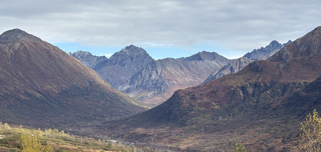
I walked out the path to check out the view. This is looking straight out (west):
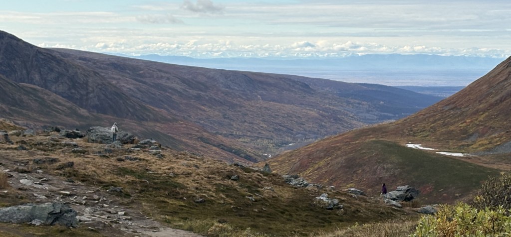
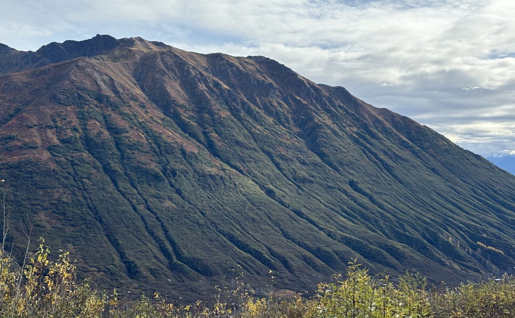
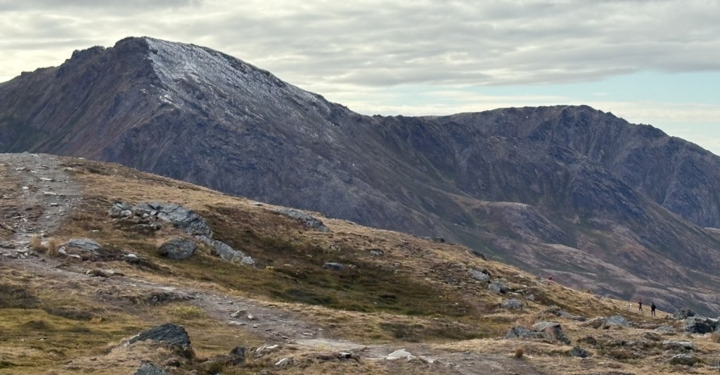
And this is looking slightly to the left:
Below is the view looking down at a road I could see from this high spot but it must just be for hikers as it goes back and to the right, away from the exit road.
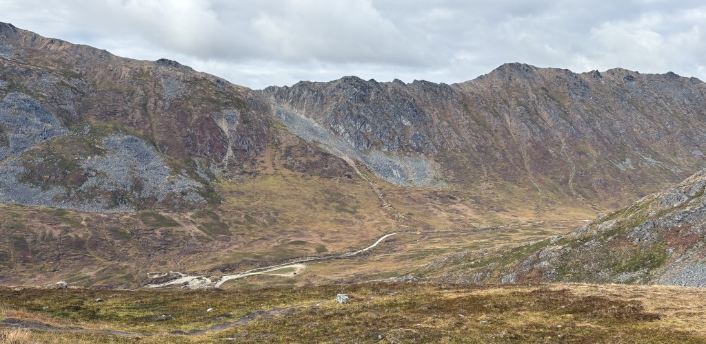
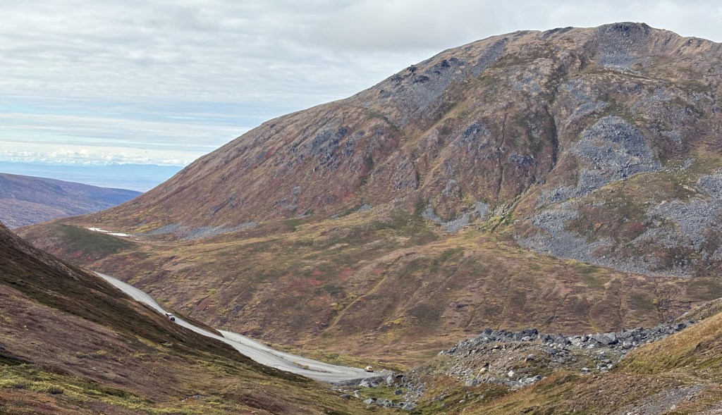
Below is the correct exit road as seen from near the top. The road goes down, does a 180 to the right, then goes a short ways and does a 180 to the left before meandering out into the valley.
After this first hill it was a fairly shallow descent, and it was a loooong drive out to the point where this road was paved and another loooong drive to get out to Hwy 3 in Willow.
(Continued next post)