These are photos I took today using my smartphone camera. In future posts I will include closeups taken with the digital camera. You may see similar or seemingly identical shots but they were taken at different times and under changing conditions.


These are photos I took today using my smartphone camera. In future posts I will include closeups taken with the digital camera. You may see similar or seemingly identical shots but they were taken at different times and under changing conditions.


This is the final series of photos taken today with my smartphone camera. As you can see, another storm system was overtaking the Canyon from the south and I hit the road soon after taking these pictures. Tomorrow I will post photos of the Grand Canyon Lodge, as well as some closeups I took today with the digital camera.
This was the last picture I took at the southernmost extreme of Overlooks. As the weather moved in I started to retreat out towards the main road. Some of these photos that follow may be from the same vantage point as pictures you’ve seen in the posts above, but show the deteriorating conditions. The final few are from a road with a few Overlooks that you haven’t seen yet.

Isn’t this what I’ve been doing since I got here??


Possible subtitle: #FederalPrisoner4511046
The name’s Boy…… John Boy……..
********
It occurred to me while driving around the area yesterday that I had heard several years ago the government was building a huge complex near Salt Lake City for a then-undisclosed purpose. I did some research and discovered I was spending the night just a few miles from it!
I stayed in Eagle Mountain, Utah which is roughly halfway between Salt Lake City to the north and Provo to the south. When I left the housing development I headed east towards Interstate 15. At the first traffic light (Route 68) I turned left and within about two miles was standing near the entrance to the Intelligence Community Comprehensive National Cybersecurity Initiative Data Center (say that 3 times fast), more commonly known by the much easier name “Utah Data Center”. This facility is run by the NSA (National Security Agency). It sits high on a hill next to Camp Williams (a Utah Air National Guard base) overlooking Interstate 15 and the Wasatch Mountains to the east.
There are no signs stating what it is. The road leading up to the entrance (where a patrol car sat with it’s lights flashing) has a sign which simply states that only employees and authorized visitors should enter the grounds.
The Utah Data Center has lots and lots and lots and lots of Cray Supercomputers which store massive amounts of data (telephone calls, emails, internet searchs, etc), both foreign and domestic. The NSA processes these various forms of communications to try and detect terrorist threats. There are allegedly two other three other facilities like this in other parts of the country, although this is supposedly the largest.
This facility takes up over 1 million square feet and uses massive amounts of electricity and water (for cooling the equipment). Construction started in 2011 and was completed in 2013, but there were problems with equipment malfunctions and it didn’t start formal operations until 2014. Allegedly. The government doesn’t like to talk about this place so what I am telling you has been reported in various news stories.
As I was parked down the road taking these photos with my zoom lens a guy rode by on a bicycle (perhaps on his way to work at the Center) and said to me “Not a good idea….”
Well guess what, buddy. I pay taxes (well I did, not so much any more) and what I paid in income tax last year probably pays your salary (for a few hours anyway!). If they didn’t want me to take pictures of it they should have built it in Cheyenne Mountain.


At several places during this trip I have seen huge fields of sunflowers. Not the big, showerhead flowers that yield sunflower seeds, but smaller, wild flowers which are native to the area. There is an ongoing debate whether or not what I saw were, in fact, sunflowers or black-eyed-susans, which are similar in appearance. I saw large quantities of those when I entered Texas from the east back in May.
When I stayed in Joseph, Utah about a week ago I asked my hostess Janett (pronounced ja-NET) what the difference was. She should know, as she operates a nursery next to her home specializing in native plants (for landscapers and homeowners). Her immediate response was “Well, they’re both DYC’s”…. That is plant-person-speak for Damn Yellow Composites. Janett confirmed what I thought I already knew – that the smaller, light yellow petals are typical of native sunflowers, whereas the longer, darker yellow petals are more common among black-eyed-susans.
SUNFLOWERS (taken by me, today, up near Eagle Mountain, UT):


BLACK-EYED-SUSANS (images found online):

(Photo credit: egofelix.com)

(Photo credit: bio.brandeis.edu)
********
As I was driving on a scenic road over in western Colorado a few days ago (the Mesa loop, near Grand Junction) I saw a house with a garden containing many other types of sunflowers, including the large ones seeds are harvested from.


I visited Zion National Park very briefly (for a few hours) several years ago. It is a relatively small Park, and I always thought it only consisted of one road, running west to east away from I-15. As I approached from the north I was planning to take exit 27 to get to the Park entrance but saw a sign at exit 40 which stated I could get to Zion and be on a scenic road. As you know, scenic roads are the starting point for these trips so I was all in.
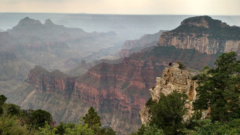
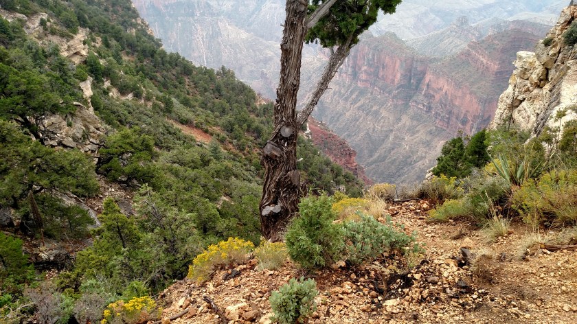
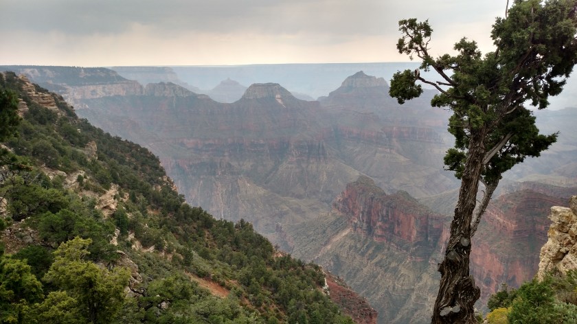
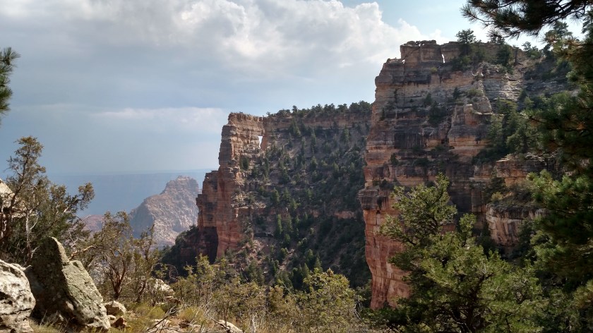
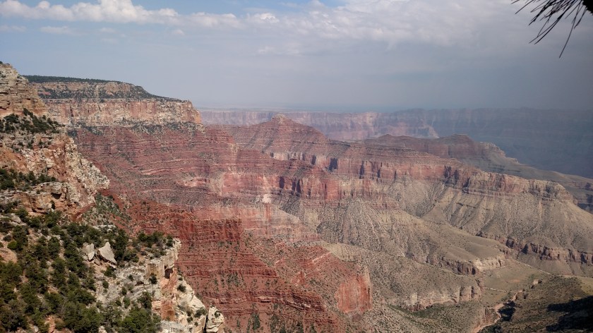
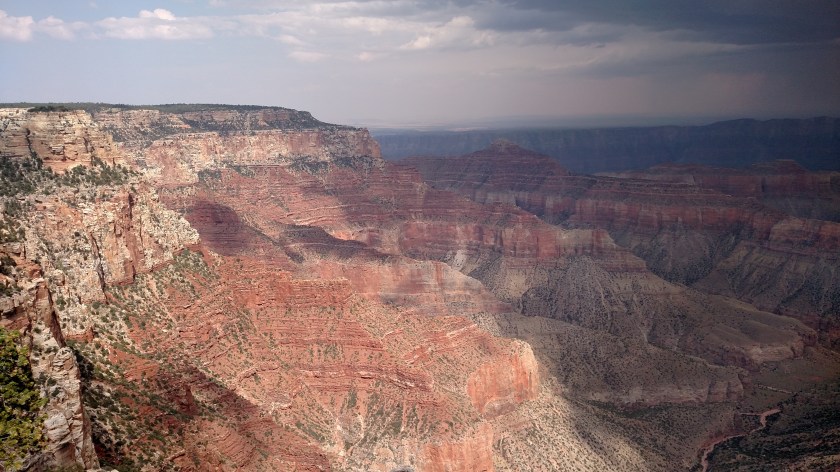
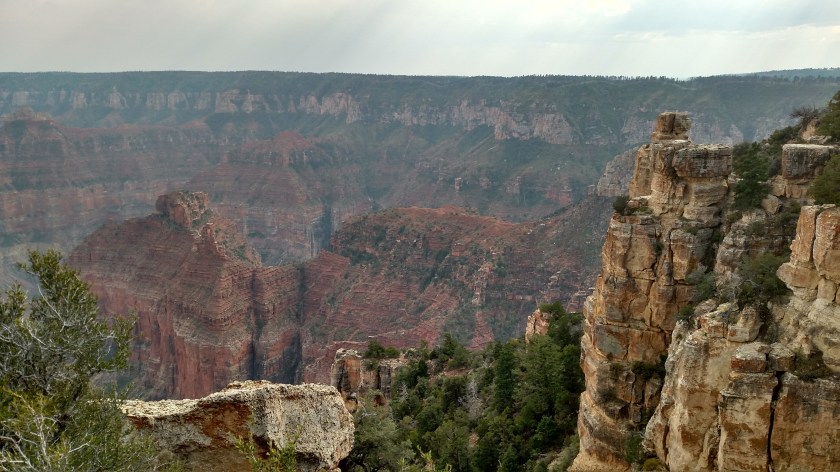
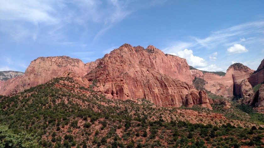
When I got off the highway I was at the Visitor Center for Kolob Canyons, which are part of the Zion National Park system. I took the 5-mile drive uphill and stopped at many overlooks which gave dramatic views of the mountains and canyons. Most of what I saw is similar to other places I’ve posted pictures of before so I won’t post too many pictures, but no matter how many times you’ve seen them, these huge reddish-brown mountains are breathtaking.
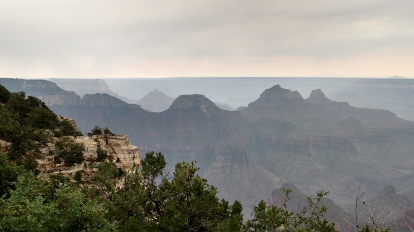
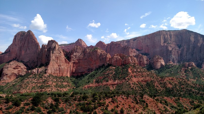
This was the first view I had of the looming mountains as I started driving up the short scenic route.

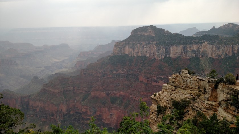
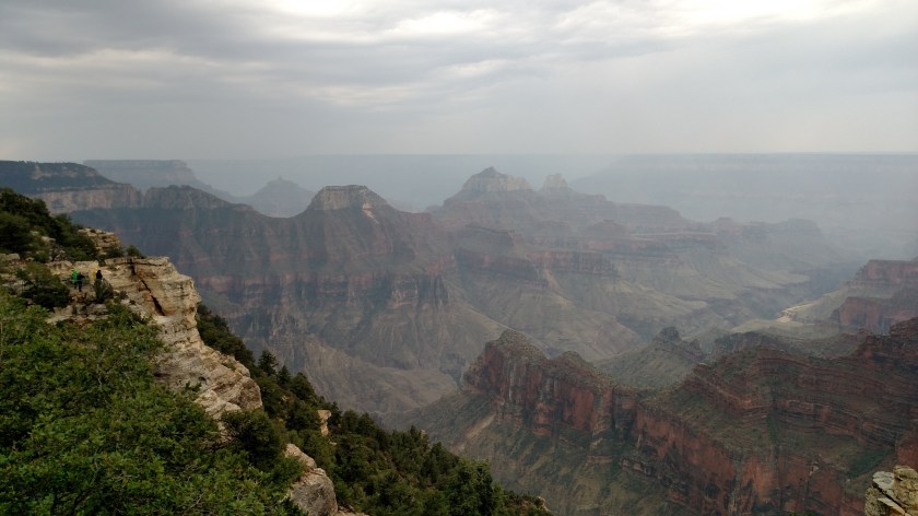
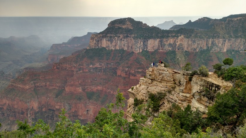
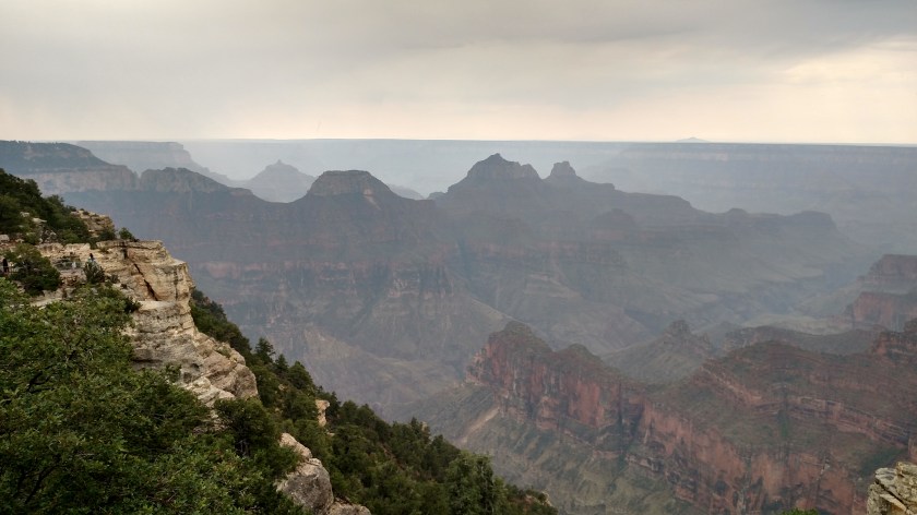
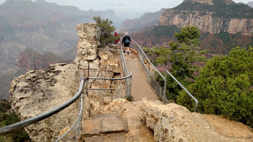
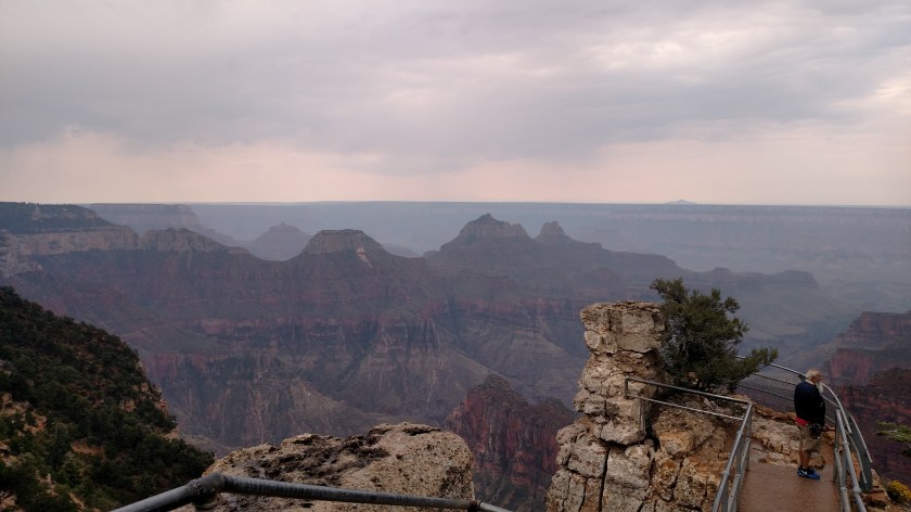
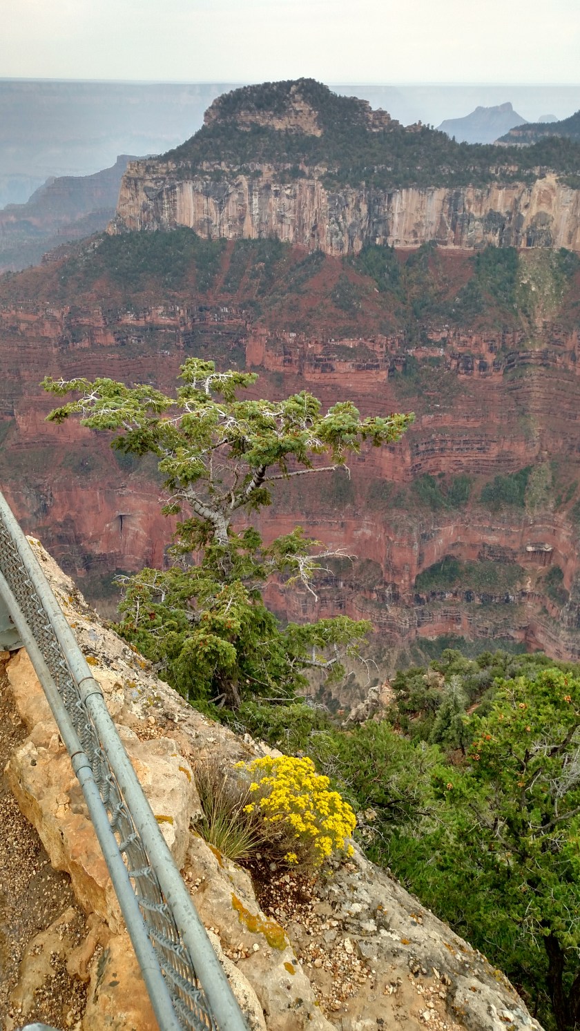
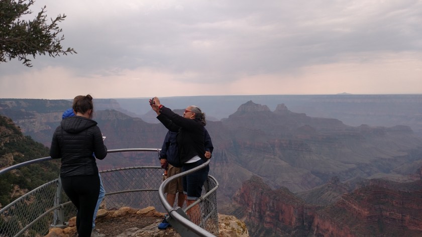
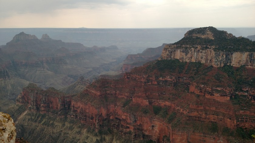
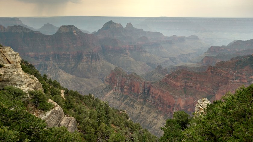
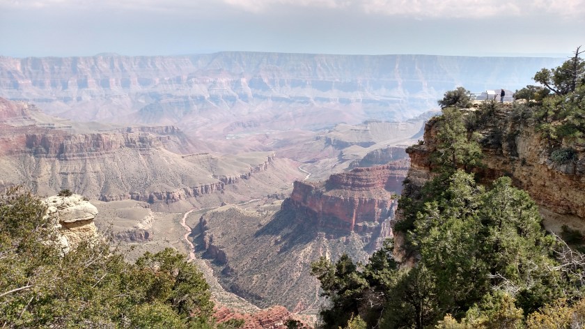
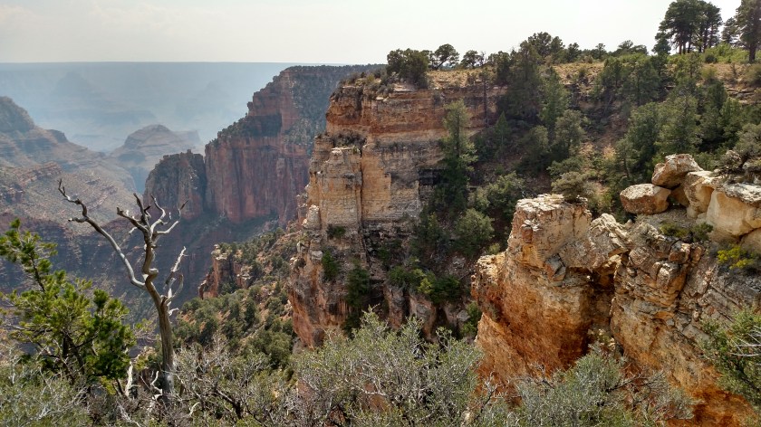
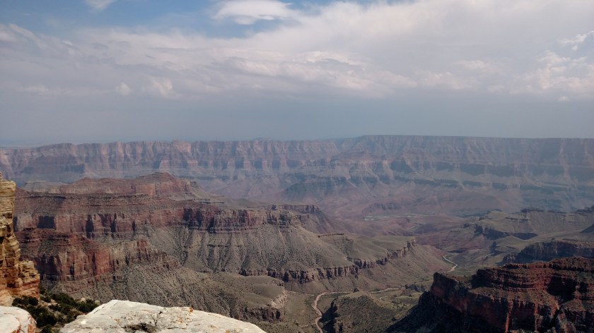
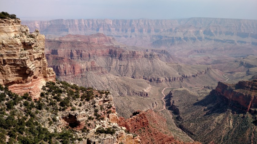
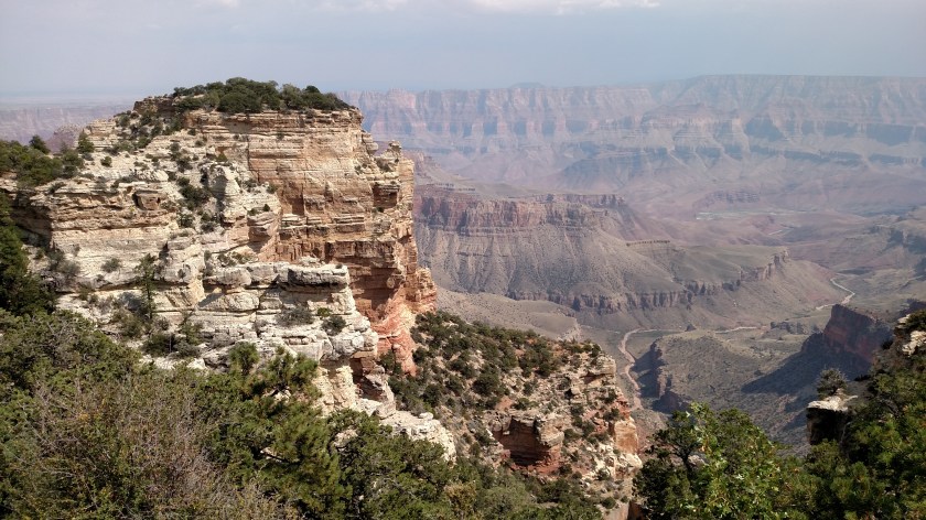
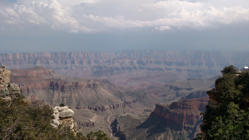
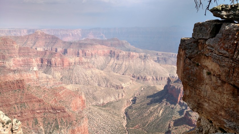
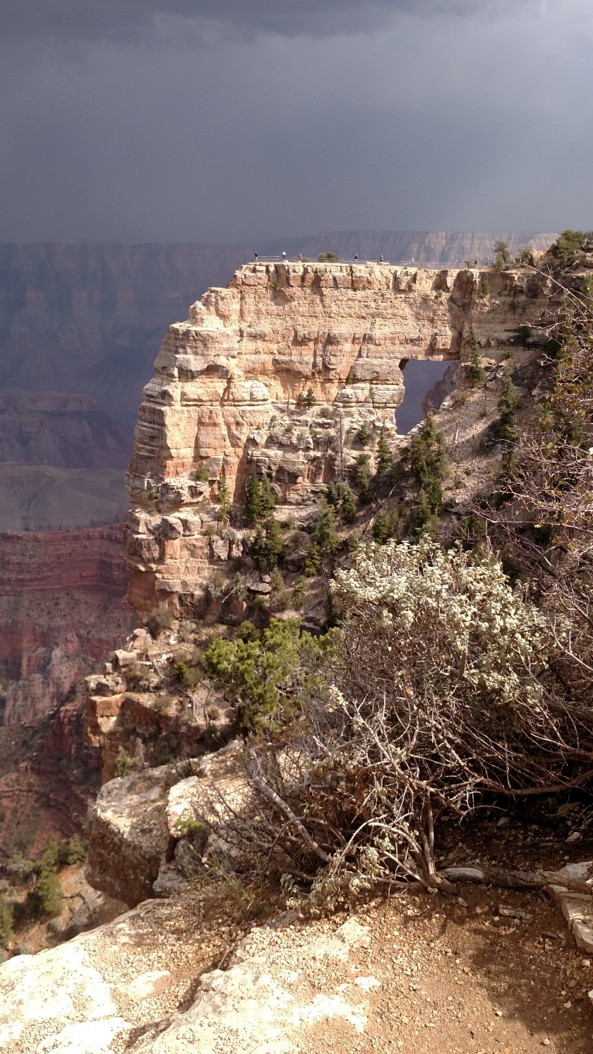
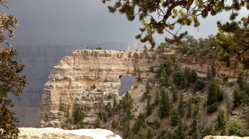
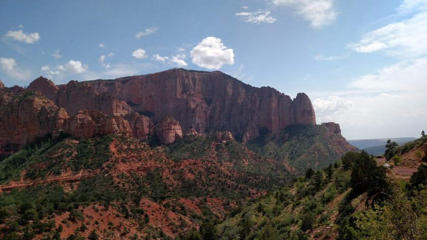
Once I got to the highest level I drove along the a ridge and stopped at many of the overlooks, each of which offered a slightly different view. Here is the best series of photos, taken as I panned the camera left-to-right.


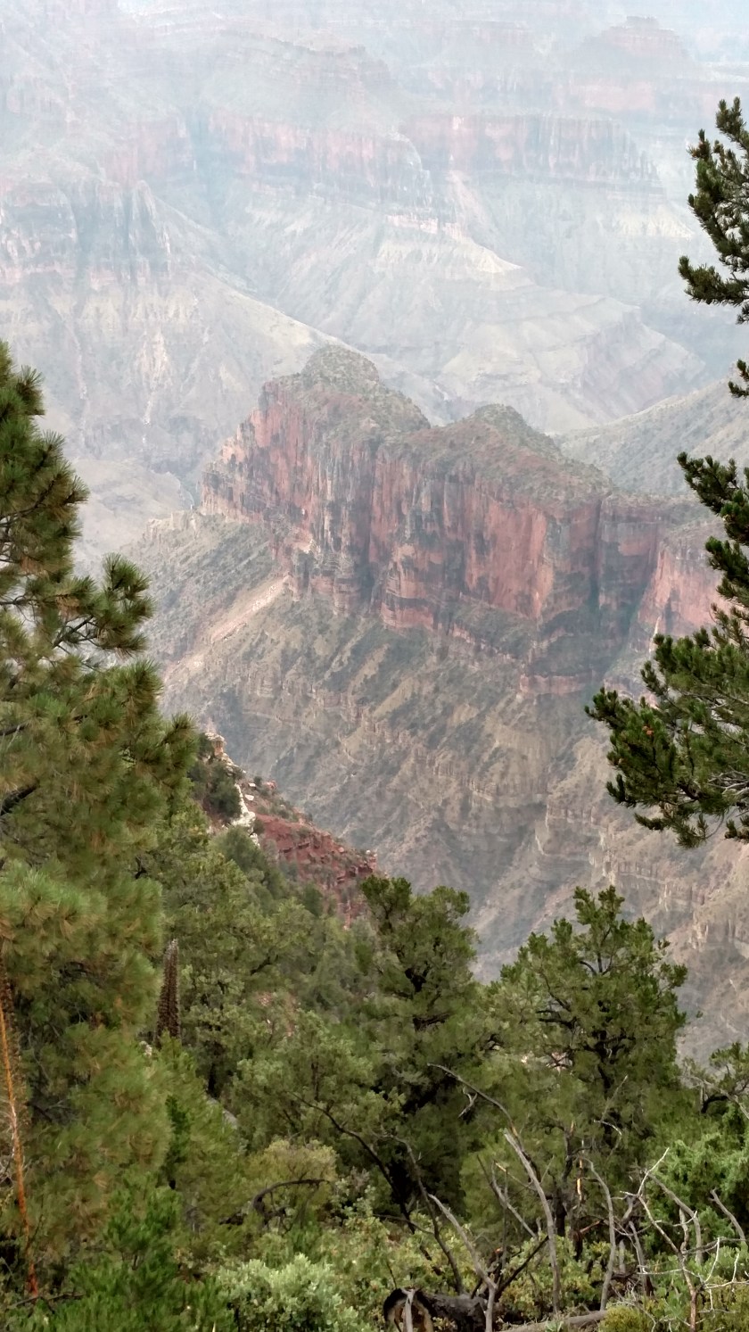
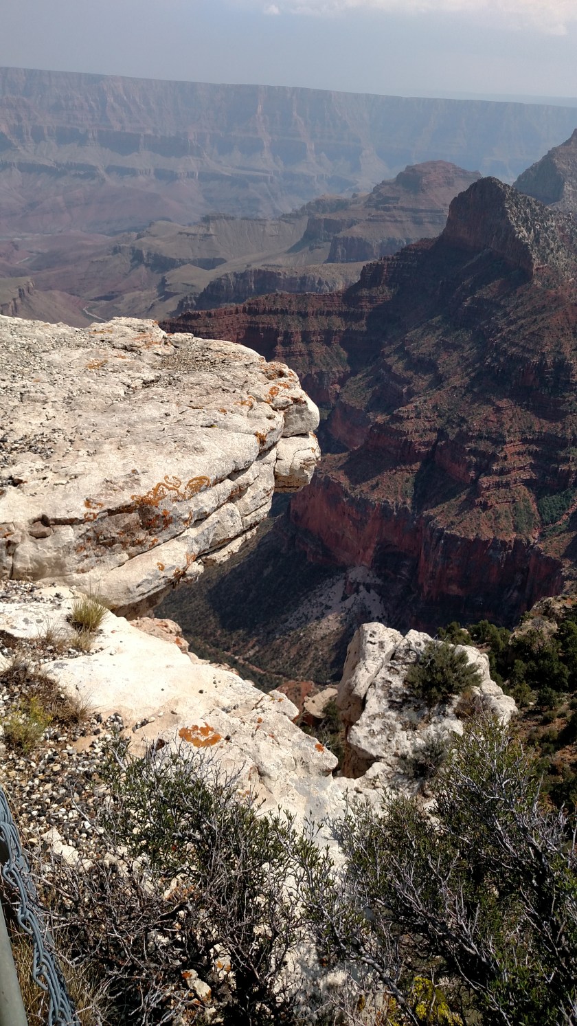
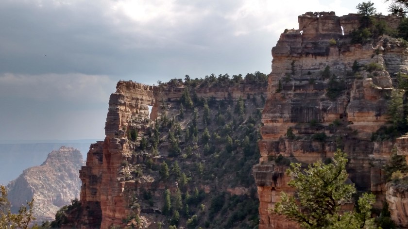
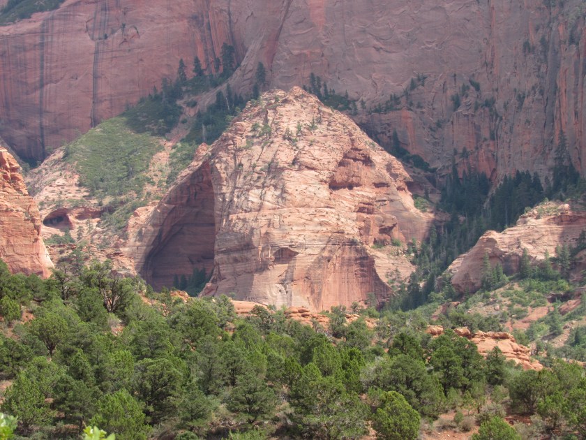
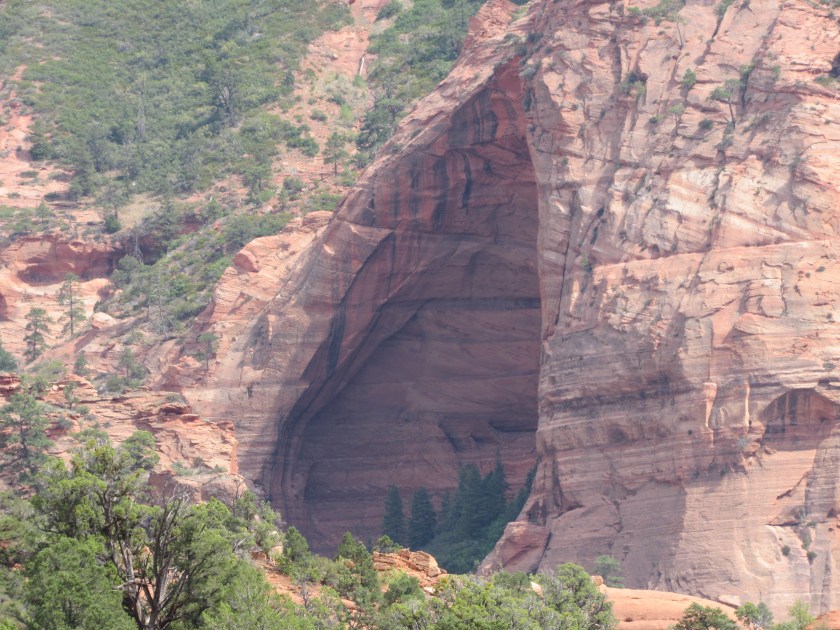
And here are just a few closeups.


********
When I was done taking photos at this location I hopped back on I-15 and headed 13 miles further south to the exit I originally planned to take. I drove through the little towns of Hurricane and Virgin as I proceeded east towards the main Park entrance.
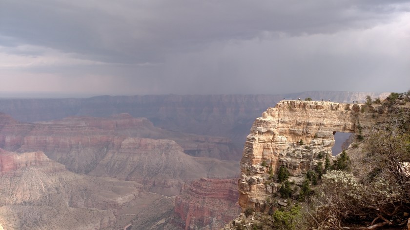
Before getting there I saw on the official Zion map that there was another scenic road, 23-miles in length, I could take before entering the Park. I had noticed the skies darkening and the wind picking up and knew there was rain in the area. When I got to the turnoff for the scenic road I was faced with this decision.
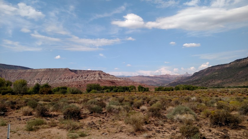
Looking east towards the Park:

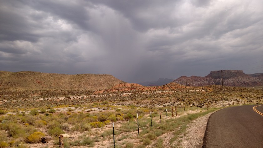
And turning 45 degrees to my left, now looking north (literally taken 7 seconds later at 4:46:53 local time):

I opted for the latter.

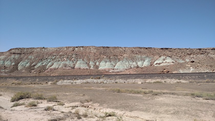
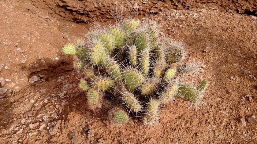
And if the hot, dry air didn’t convince me, this confirmed I was in the desert.

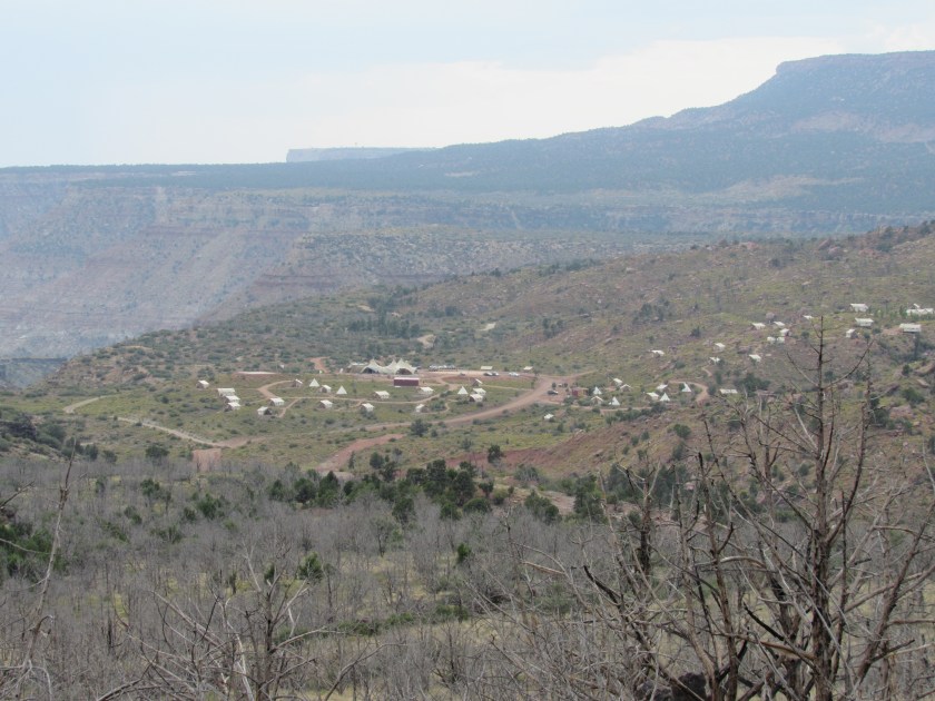
I only made it about 1/3 of the way up towards the reservoir at the end of the road before turning around and heading for my Airbnb in Kanab (pronounced ka-NAB). I wanted to arrive there before dark, and made it with about a half hour to spare.
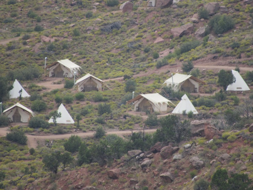
After I turned around and was headed back towards the main road through Zion I saw this “under canvas” campground off in the distance.


I did not take any photos today while driving through the main portion of the Park. I will be going in later in the week, and will be taking lots of photos. Parking is extremely limited and there are not many pullouts for stopping, so I will ride the bus through the Park, probably several times, in order to be seated on different sides for photo ops. I did that when I was here before and it worked out pretty well.
I spent Wednesday night in Eagle Mountain, Utah which is a little north and west of Provo. Eagle Mountain sits west of Utah Lake, which is just west of north/south Interstate 15.
This was taken just after sunrise, looking east towards the Wasatch Mountain range. Visibility was noticeably better this morning as a wind shift overnight apparently pushed the wildfire smoke a different direction.

In order to avoid morning traffic on the interstate (although I would be going south, away from most of the local metropolitan areas) I decided to drive south along the western side of Utah Lake. That drive took me 35 miles south, at which point I turned left and headed towards I-15.
When I turned left onto Route 6 I saw this old Sinclair garage across the road. Sinclair (their logo is a big green dinosaur) is a popular gasoline brand here in the west.

As I drove east I stopped to take some photos of freshly baled hay (or some other crop).

While walking back to my car a hawk flew past me and landed on a nearby fence post.

I tried walking past him to get a better shot with the morning sun behind me but he saw me (maybe I need a camo Safety Sam vest, although I guess that kind of defeats the purpose) and flew to the next fence post up the road.
As I drove through the little town of Santaquin I decided to stop and take a picture of this logo for a local convenience store chain. While seemingly cheerful somehow I find the image vaguely disturbing. When I get home I plan to have this photo printed and hang it over my bed so he can watch over me as I sleep (things a Stephen King novel are made of).

Right before getting on the interstate I saw a huge plume of black smoke just to my left.

The trucks in the foreground belong to a utility crew, working between me and the fire (they were a safe distance away, but were keeping a watchful eye on the situation). I drove back in to see what was burning. Turns out it was actually two fires, and was a controlled burn of tree limbs and other debris. Don’t be fooled by the structures in the photo below – they are not on fire, but are merely in the shot due to the vantage point from which I took the photo.

Confident that Santaquin was safe, I hopped on I-15 and headed south for the several hour drive to Zion National Park in the extreme southwest corner of the state.
********
Today I plan to see the Grand Canyon from the North Rim, then the southern portion of Grand Staircase – Escalate National Monument on Saturday, Bryce Canyon (finally!) on Sunday, and Zion National Park Monday before heading down to Flagstaff, Arizona for my next stop. A busy couple of days ahead.
The Sunday of Labor Day weekend I drove from where I had been staying in Joseph, Utah east on I-70 to get to Grand Junction, Colorado, where I would be spending two nights. Along the way I was planning to stop at Arches National Park to see one small area of the Park which wasn’t open to the public when I was there a few days earlier.
Shortly before getting to the entrance for Arches I saw these colorful rock formations not far off the road.


When I got to the entrance for the Park I saw there was a huge line of traffic waiting to get in. I decided not to get in all that mess and further down the road, just before getting to the little town of Moab, I turned left and got on a scenic road which would take me back to the dreaded interstate.
Route 128 took me for a very pleasant drive alongside the Colorado River. Huge, reddish-brown rock mountains lined both sides of the road, towering hundred of feet it the air. This went on for about 20 miles!


The road briefly turned away from the river and got more desert-like (and heated up…. the highest temperature I saw on the car thermometer was 106!).


Eventually I got back alongside the river for a few more miles.


The morning of Labor Day Monday I drove east of Grand Junction, Colorado and took a scenic drive south through the little town of Mesa. Here are some of the things I saw that morning.


And not all Aspen trees turn yellow in the Fall. Some go rogue and turn orange or red.


Danger…. Danger, Will Robinson….


There I go, showing my age once again…
The night before I left Grand Junction my Airbnb host asked me if I was planning to visit this National Monument, just outside of town. I told him my scenic route would take me right past it but I wasn’t planning to stop. He said I should so I did. I got there just after it opened at 8 o’clock and spent the next 3 hours making the 23 miles scenic drive through the facility. This turned out to be another great find which wasn’t on my radar.


About two thirds of the way through the Monument there was an overlook which gave me a look at “Fallen Rock” a HUGE chunk of a mountain side which had broken loose and slid downward. It was in dark shade so my pictures didn’t turn out too well. Here is a good one I found online.

(Photo credit: theworldisabook.com)
Believe me, the portion that broke off is enormous. I’ll think of this from now on every time I see a “Watch for Fallen Rock” sign when driving through the mountains. You probably will too. You’re welcome.
After leaving the Colorado National Monument outside of Grand Junction I headed north and then west on some scenic roads to get to my next stop. Here are some of the things I saw along the way.
Not long after I got north of I-70 it became apparent I would be spending some time in scenery which was different from the mountains I have grown accustomed to being in.


When I got up near the town of Rangely, CO things started looking a little more habitable. These were some interesting rock formations near the road I was on.


Just before crossing in to Utah I came to the town of Dinosaur, Colorado. It is just south of the Dinosaur National Monument, which spans east to west in both Utah (to the west) and Colorado (to the east). Since I had spent so much time in the Colorado National Monument earlier in the day I didn’t have time to go to this one, or to the Flaming Gorge National Recreation Area even further north. Some pictures in the Visitor Center looked nice, though, so I will be coming back in May of next year on my way to California.


After crossing in to Utah I came across this scenic overlook. There was already a car parked there and a gentleman was standing near the wall, admiring the view while his wife waited in the car. It was becoming evident that wildfire smoke was going to be obscuring the view the further north I went. I commented to the man that we had to take the bad with the good, but that there was way more good in this part of the country.

I would have to keep telling myself that throughout the day today after I learned a few hours after taking this photo that my Airbnb in Orem would not be available to me and I’d have to spend several hours making other arrangements.
When I got close to Provo I saw that a wildfire was burning between where I was and town.

This is the Tank Hollow fire. When I looked to the left towards the sun (which would be setting in about an hour and a half) I noticed that the smoke made it appear as a large orange disk. It looked even more dramatic, and a deeper orange, when viewed through the tinted glass at the top of the car windshield.

As I proceeded north on Route 6 I went around a turn and saw several wind turbines, slowly turning in the breeze.


I went back today and got some other photos.


They have lights nearby which apparently illuminate them at night. Given their proximity to the road that would be a pretty cool sight, but I don’t like to drive at night on unfamiliar roads so I’ll just have to find some photos online.