September 30, 2025
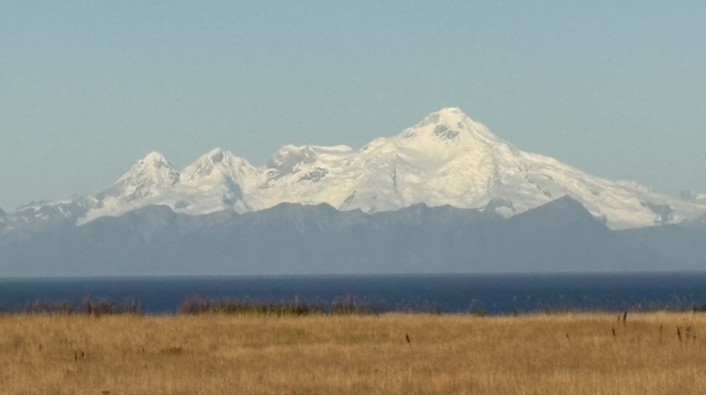
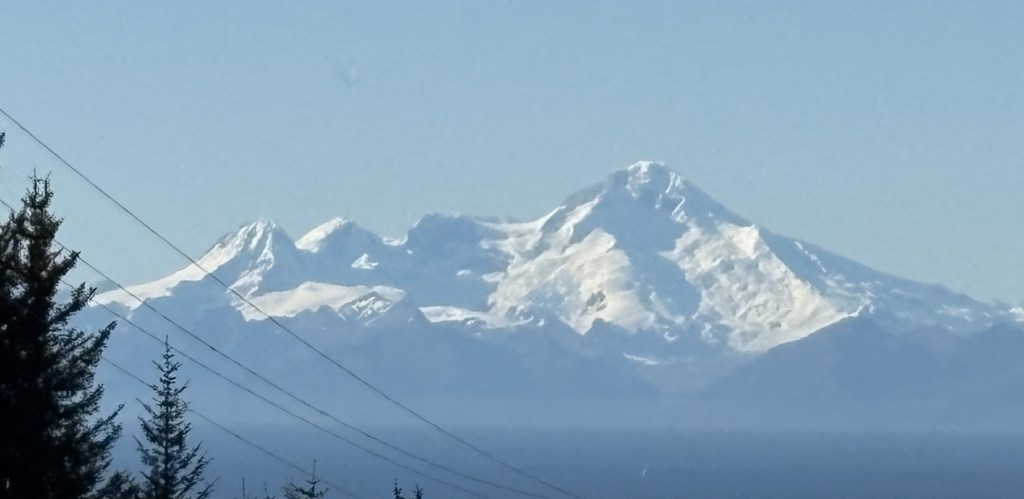
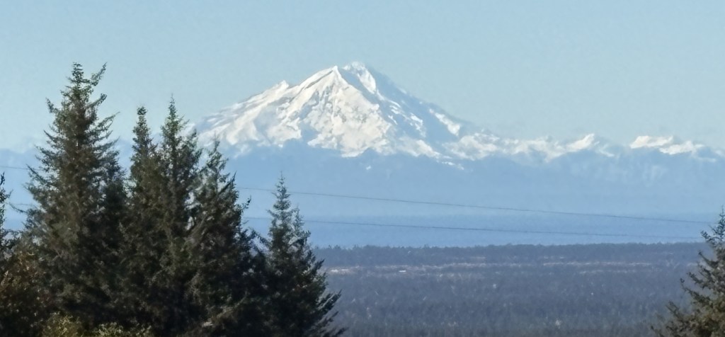
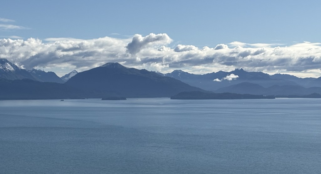
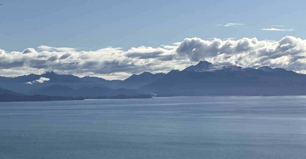
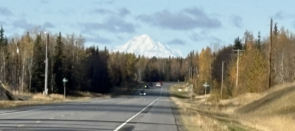
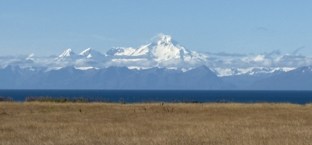
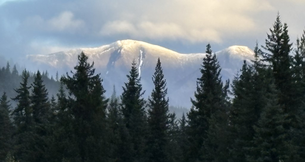
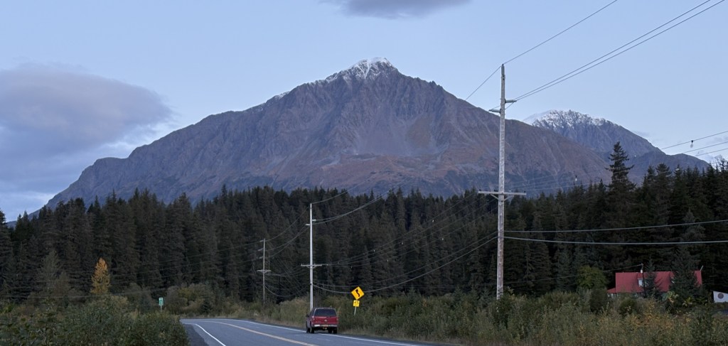
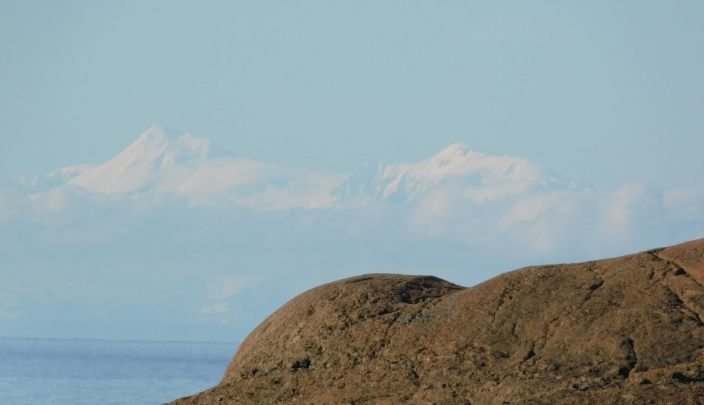
The final leg of today’s journey will take me through Anchorage to continue northeast to Wasilla. There won’t be anything for you to see in between, but before I left the area south of Anchorage I spotted what I believe is Mount Spurr, a volcano located about 80 miles due west of Anchorage.
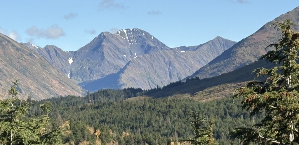
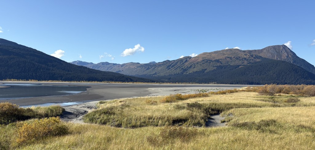
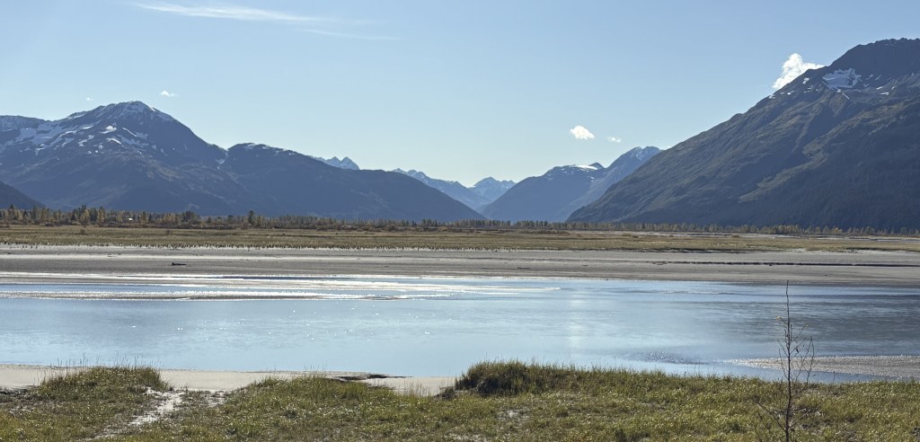
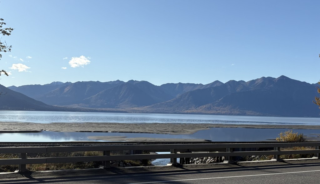
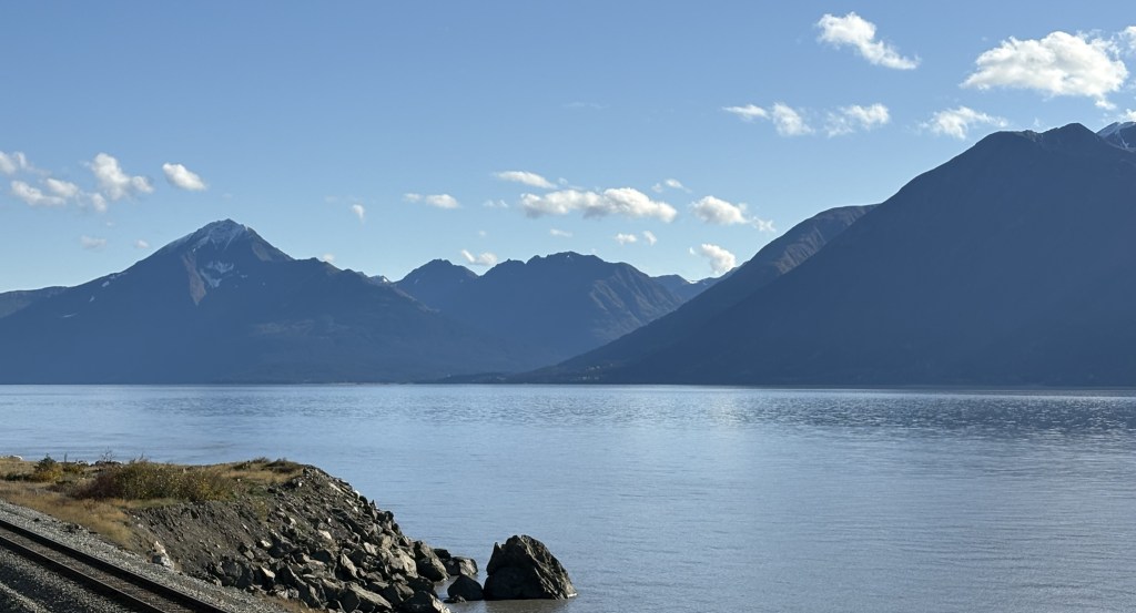
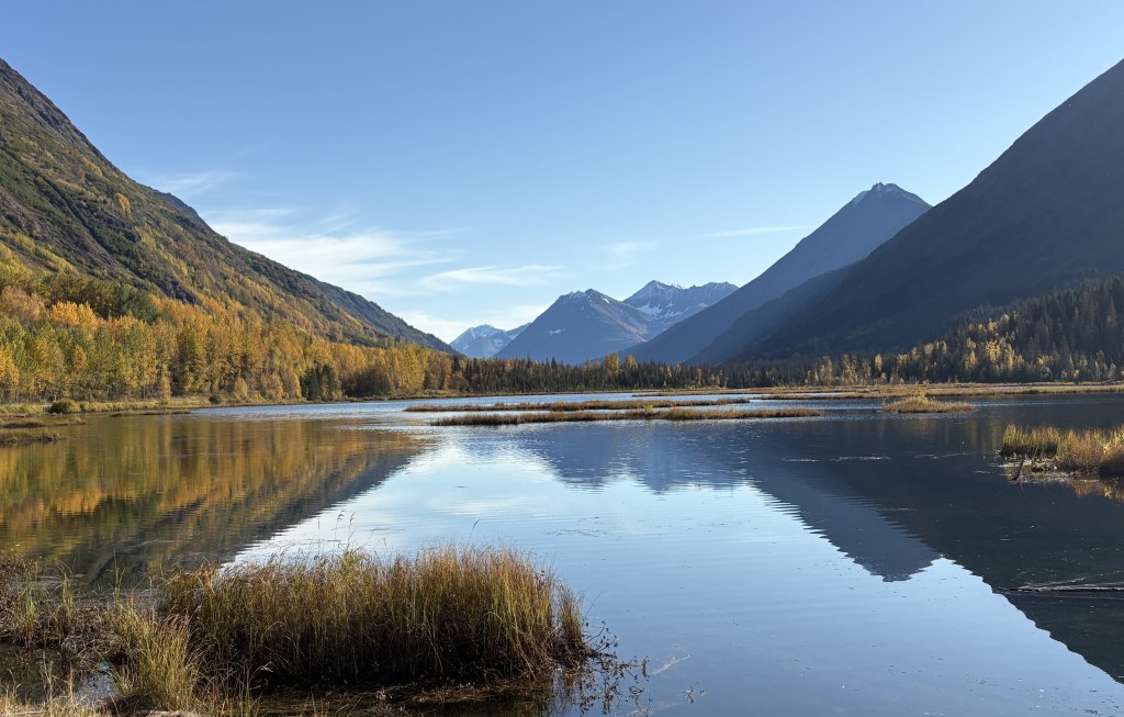
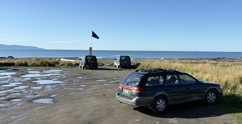
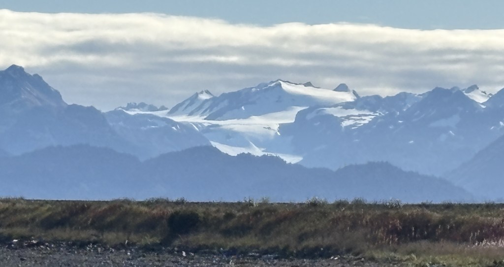
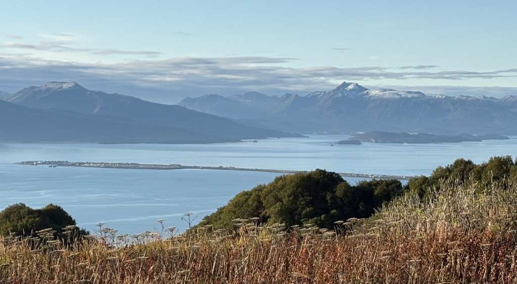
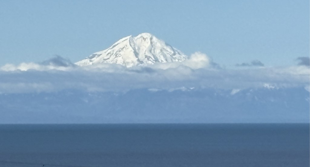
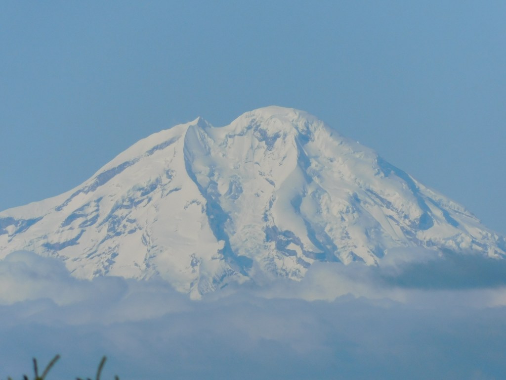
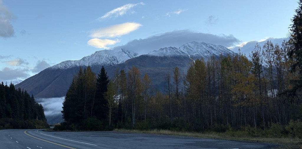
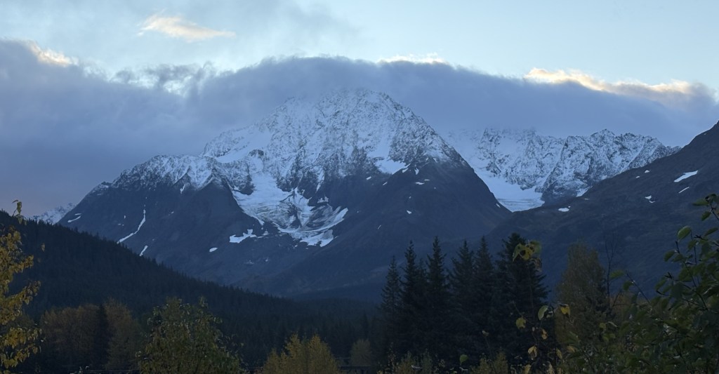
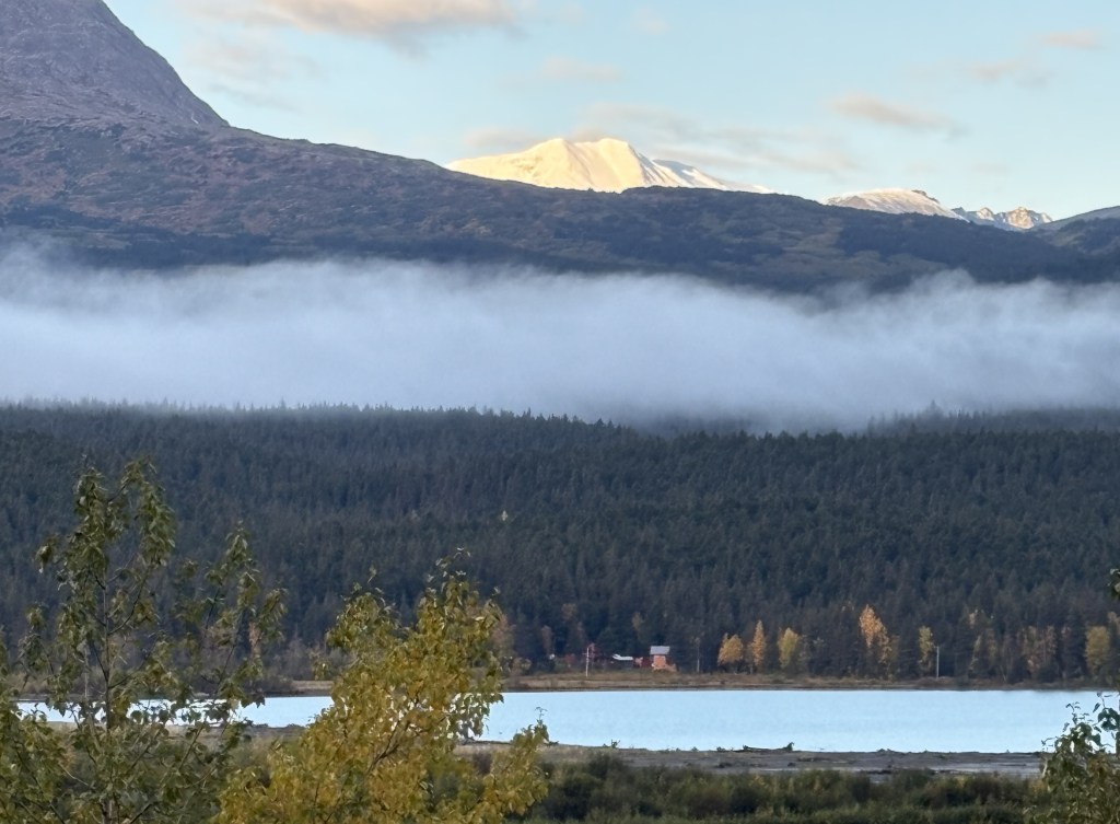
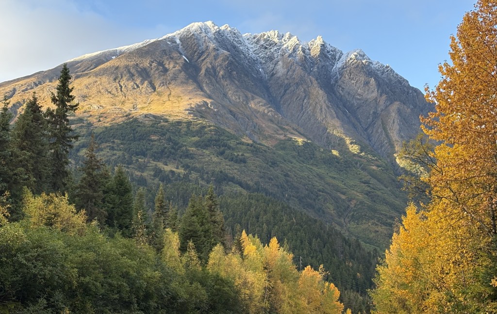
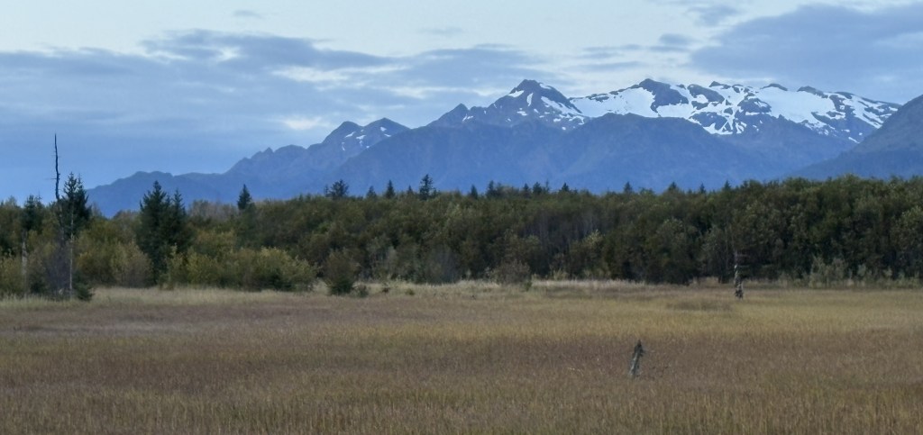
I was at a parking area between the highway and the water, and with the clear sky I could see the tops of two mountains in the distance. I believe the one on the left is Mount Spurr.
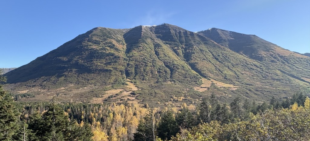
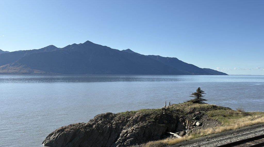
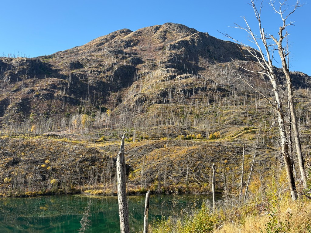
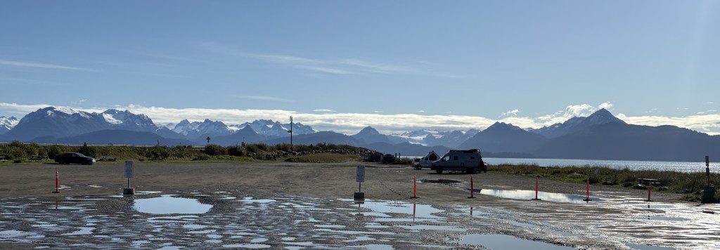
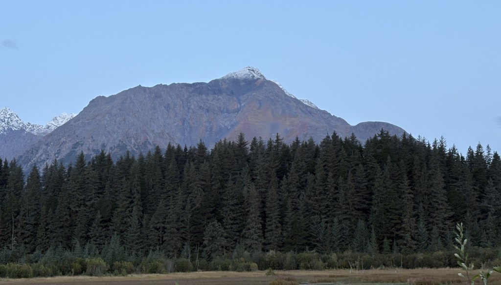
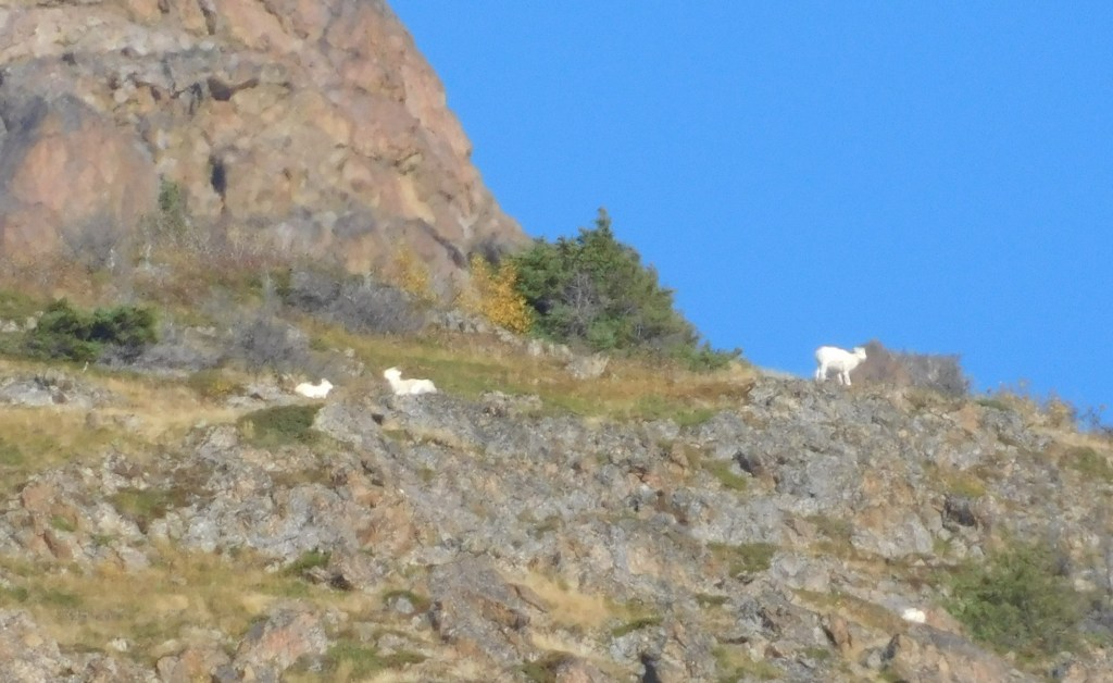
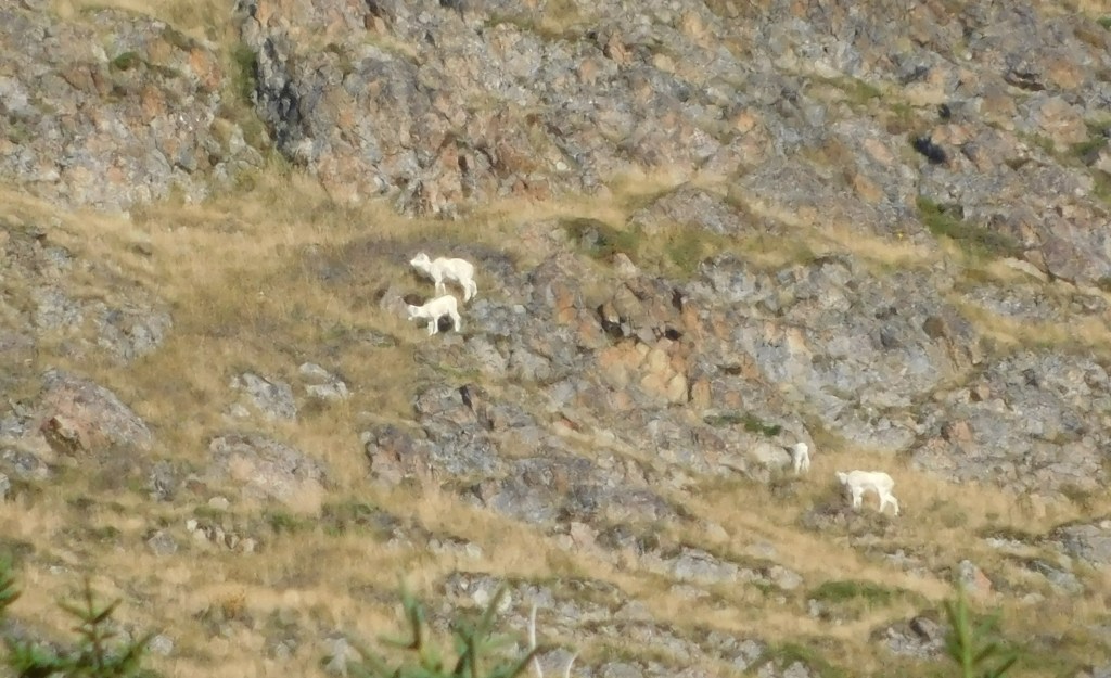
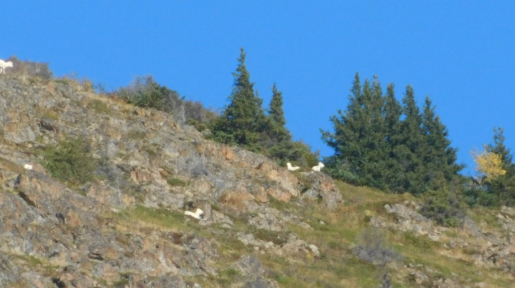
I was speaking with some of the other travelers who had stopped at the same pullout. One of them was using binoculars to look up a tall mountain across the road. She pointed out some white spots, and since I had my digital camera out I zoomed in and sure enough, she had spotted a bunch of mountain goats.
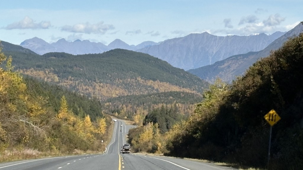
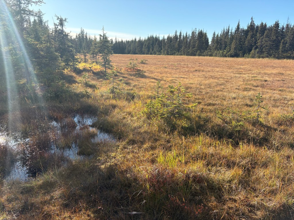
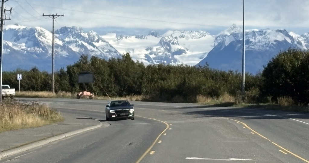
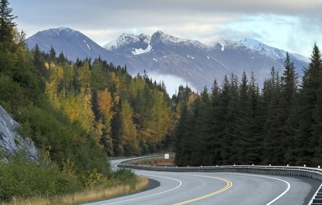
It was now getting to be mid-afternoon and I thought I’d better get through Anchorage before evening rush hour. Once you get through town it is an easy drive to Wasilla.
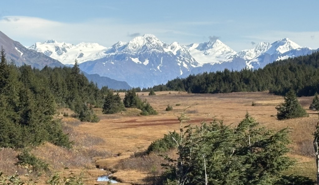
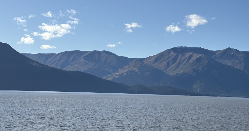
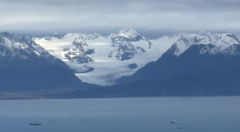
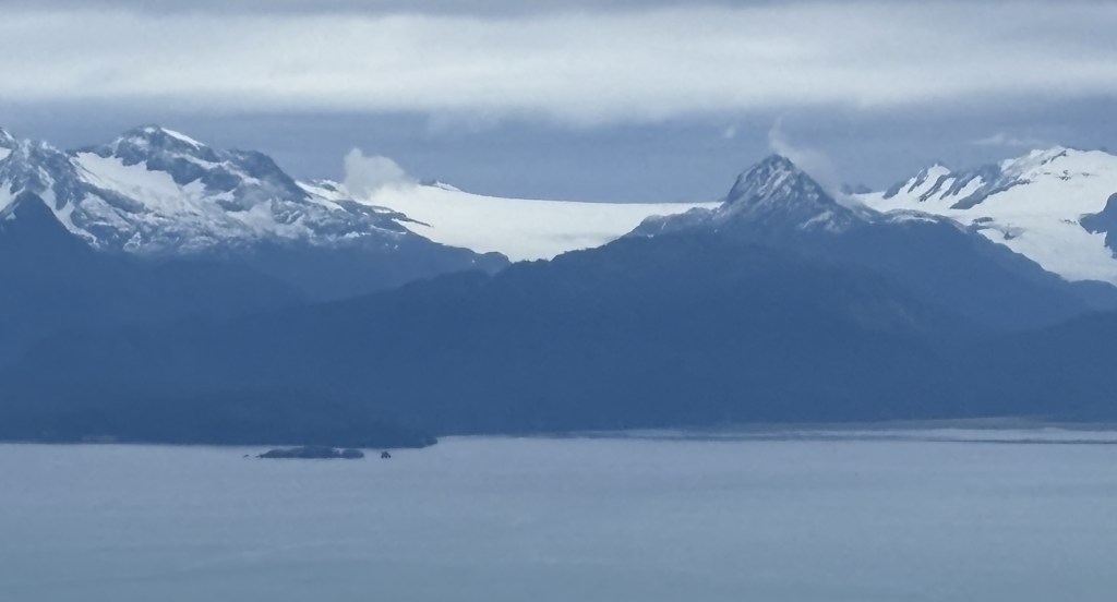
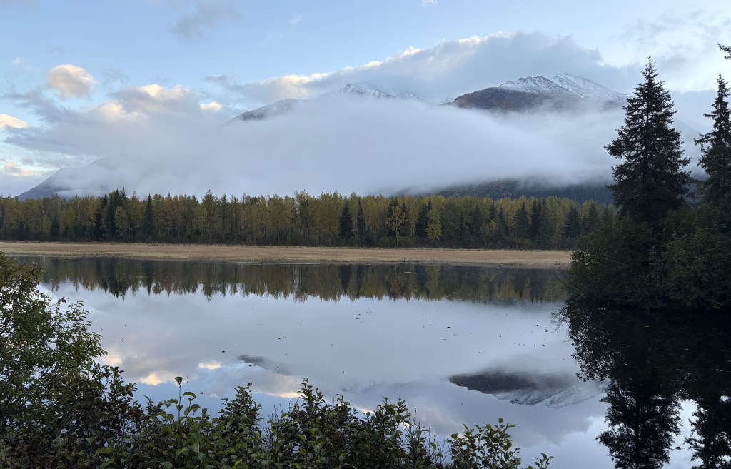
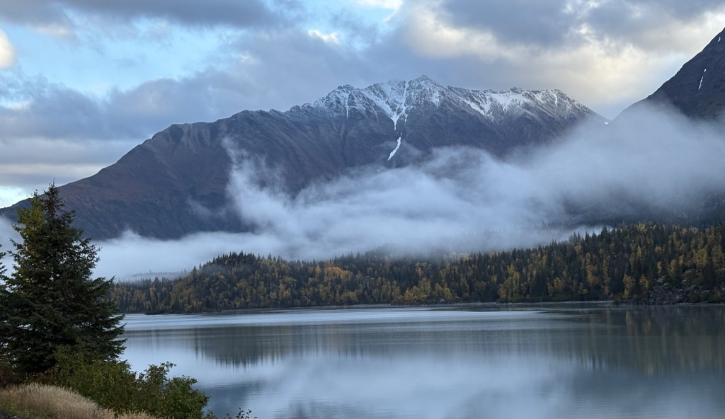
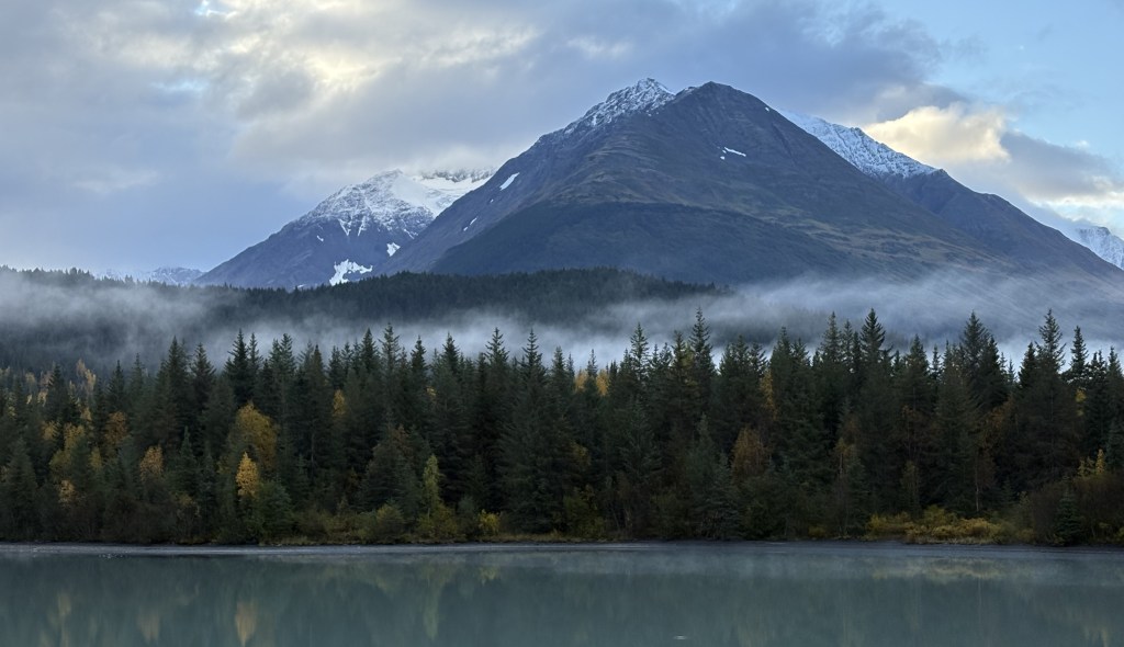
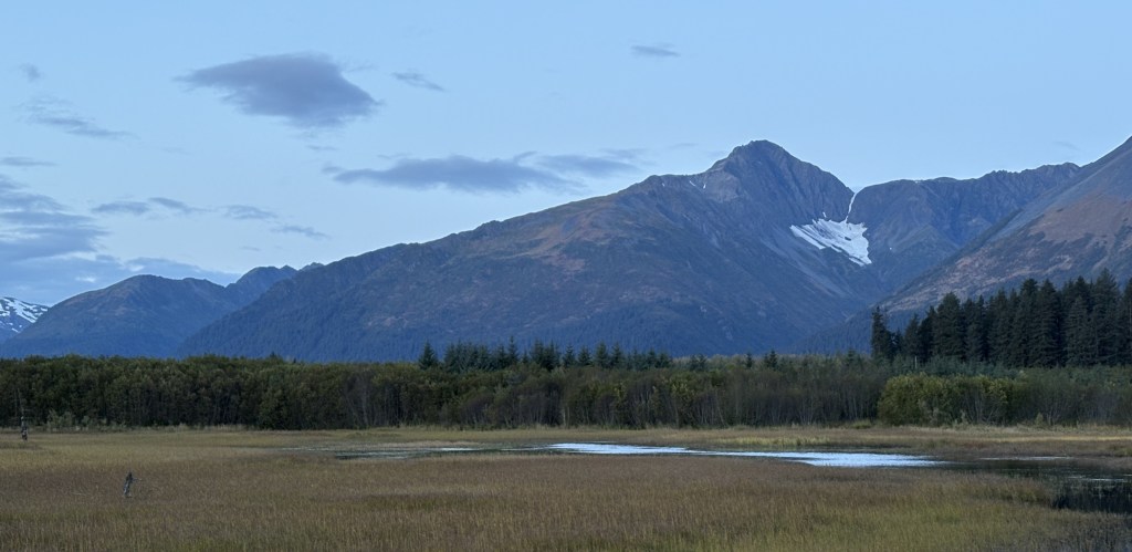
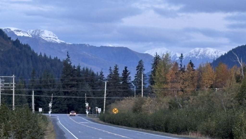
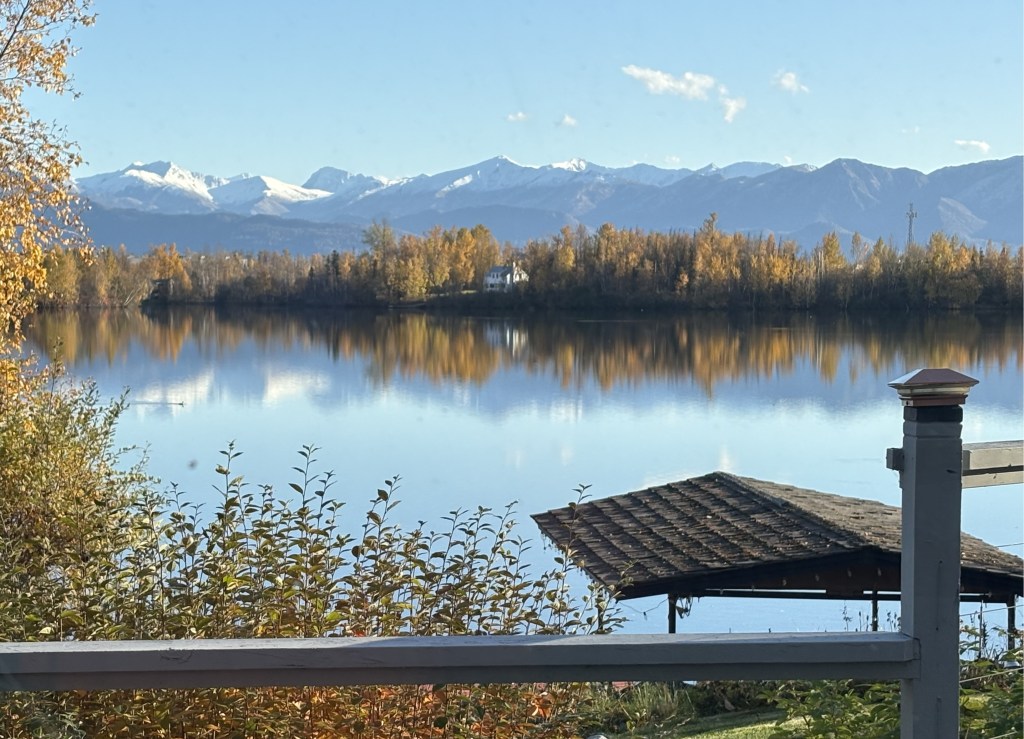
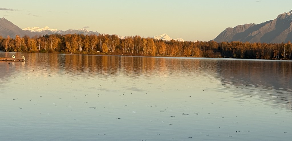
I checked in at my Airbnb, which was a short ways off the highway, overlooking a lake. This was the view from her back porch.
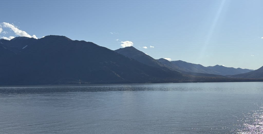
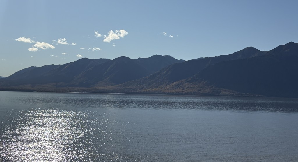
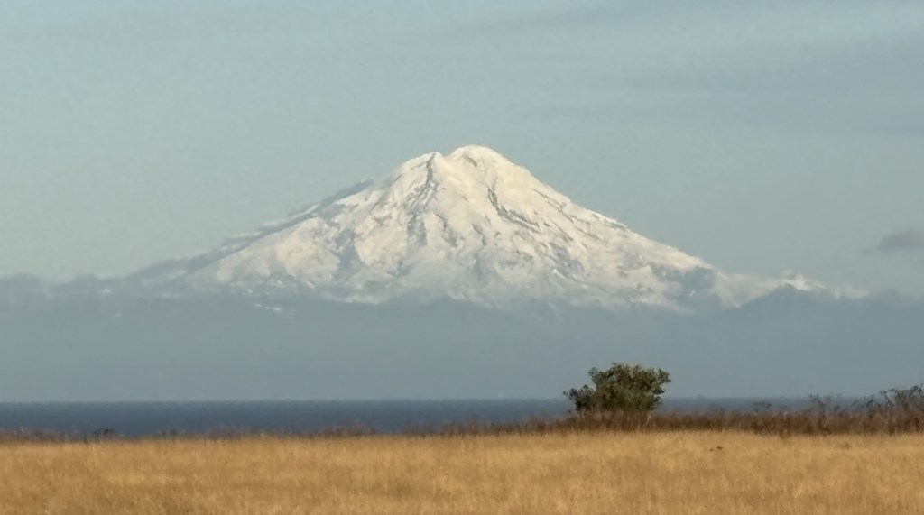
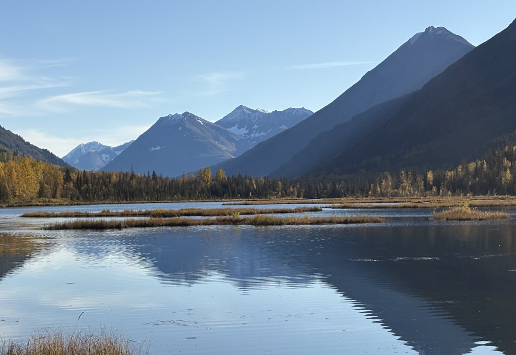
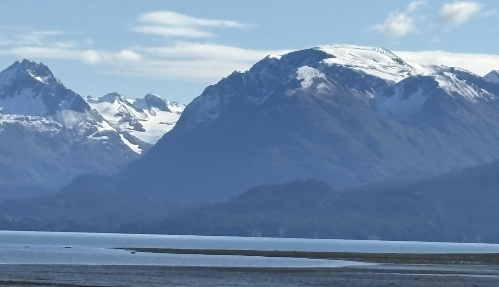
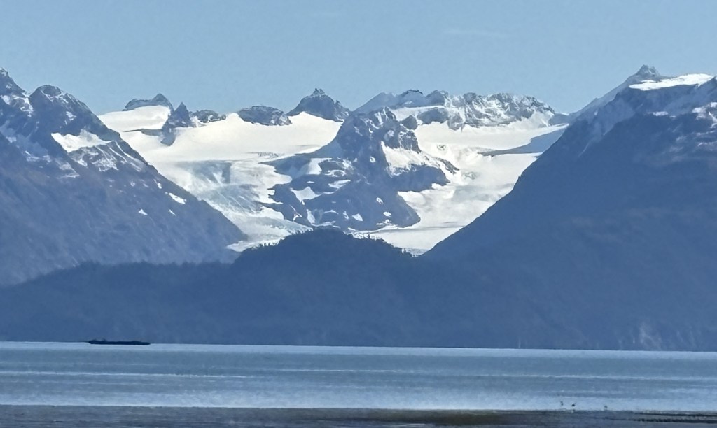
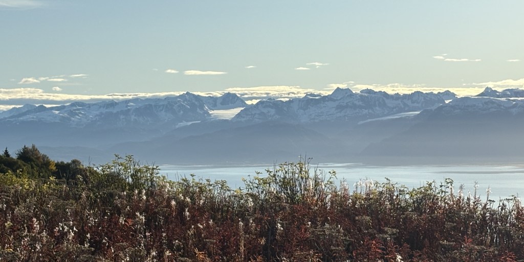
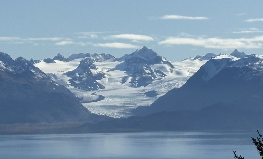
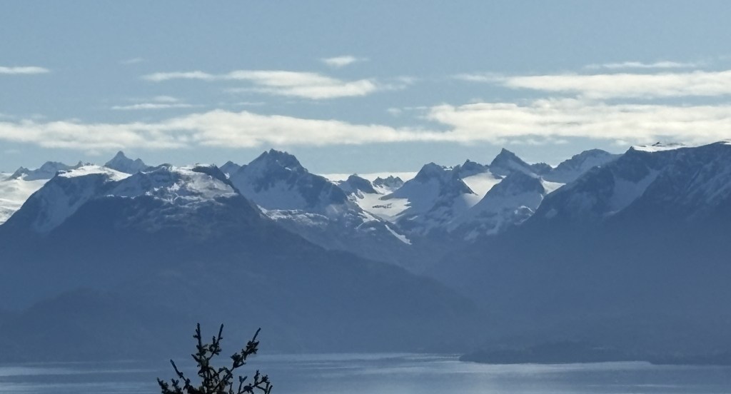
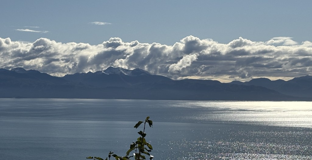
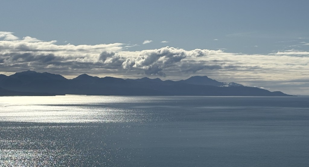
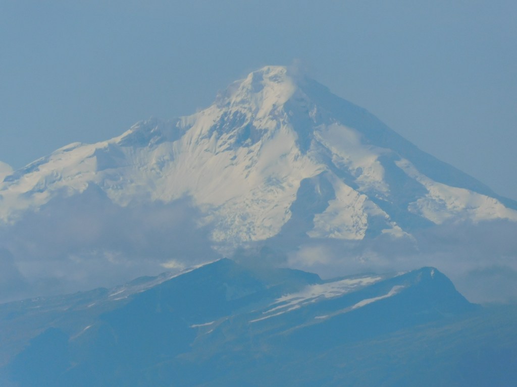
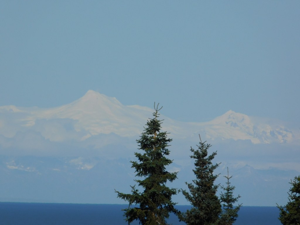
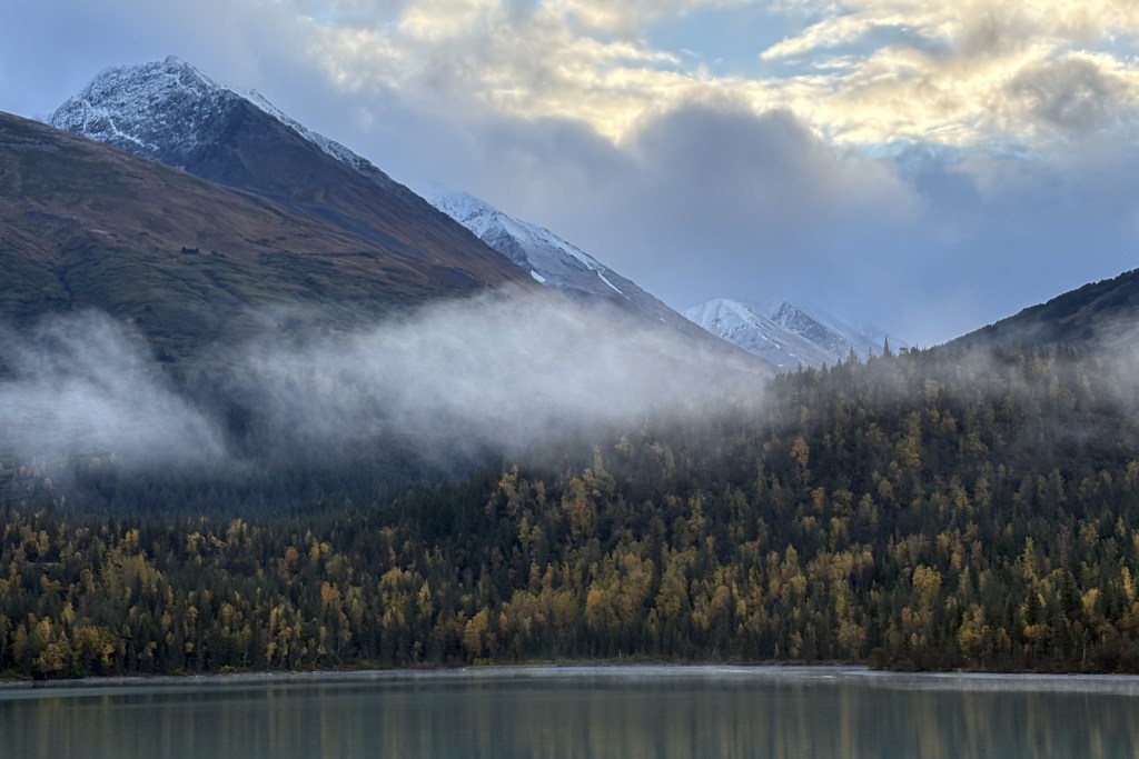
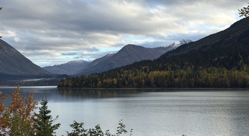
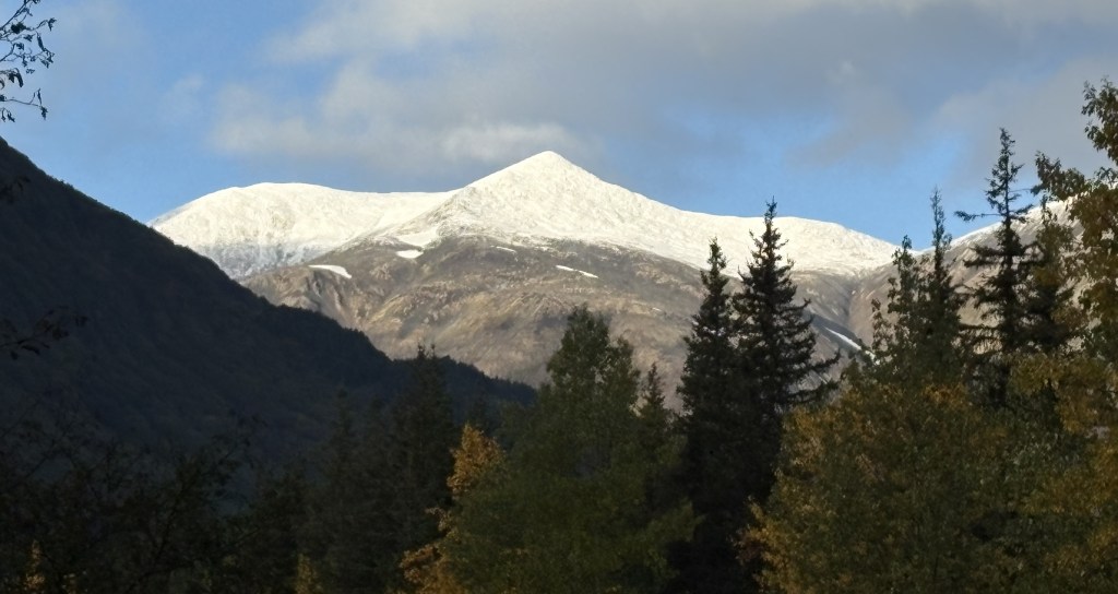
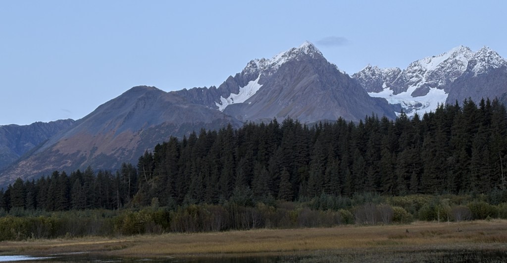
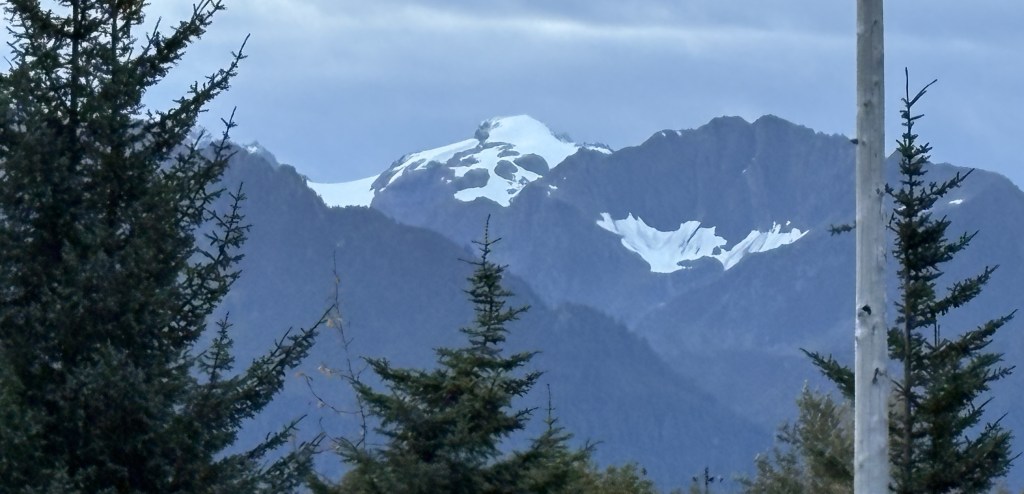
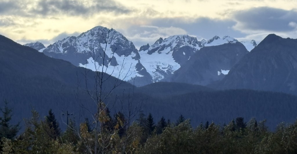
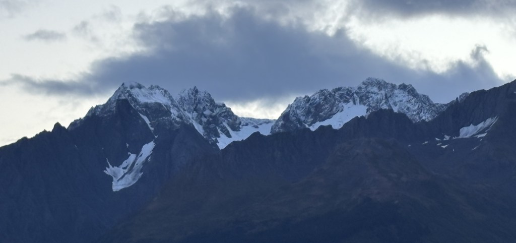
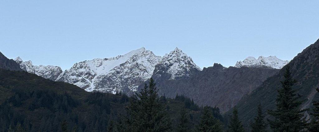
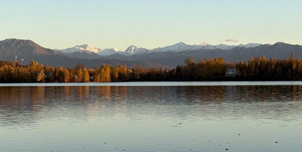
And from down near her dock, here are two photos looking at some other snow topped mountains in the distance.
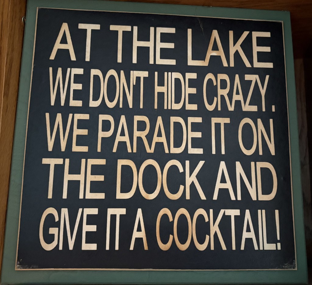
I was amused by two signs in her kitchen:

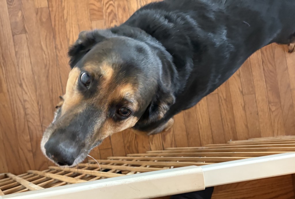
When I first arrived at her home I was greeted by her three dogs, who were behind a barrier in the living room.
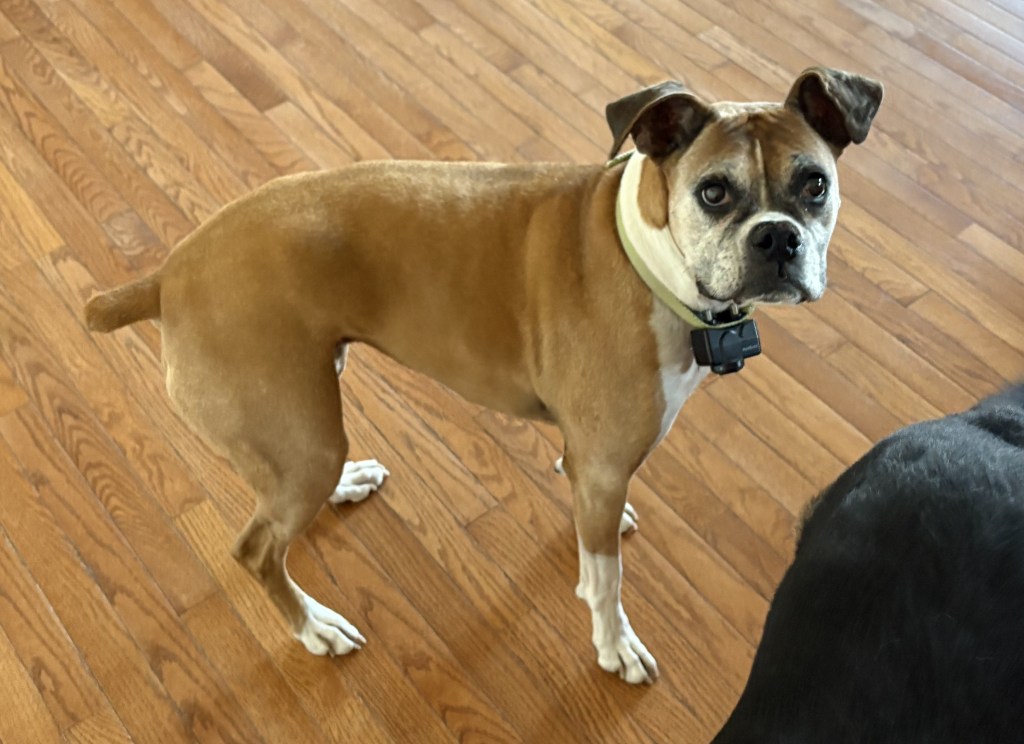
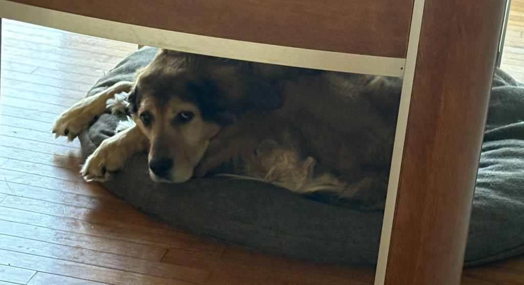
The one under the foosball table didn’t seem to be bothered but I learned later that she has trouble walking and tends to stay on her comfortable beanbag.