Calistoga, California

Tuesday afternoon I stopped in this small town at the north end of the Napa Valley.  I had a late lunch and walked around town looking at the interesting architecture.

IMG_20180703_170203890

In many of these photos you can see that people were already “claiming” their spots for viewing the 4th of July parade which will occur here on Wednesday by placing chairs along the edge of the sidewalk.  Many of the small towns in this area were shutting down their main street for a few hours on Wednesday to host such parades.

IMG_20180703_170239040_HDR

IMG_20180703_170252775_HDR

IMG_20180703_170349463

Hmmm… this building doesn’t seem to have any windows.  I wonder whose responsibility THAT was???  In reality, it probably houses telephone or electrical switching equipment and was designed this way to simply protect that equipment and has no need for windows.  This was a nice way to at least make it look a little more attractive.

IMG_20180703_170425034

IMG_20180703_171151443

IMG_20180703_170659138

IMG_20180703_170746479

IMG_20180703_171824531

IMG_20180703_172731005

IMG_20180703_172755888_HDR

IMG_20180703_173331496

Tuesday – various locations

Tuesday I drove from Sparks, Nevada to San Rafael, California, just north of San Francisco.  Here are some things I saw along the way:

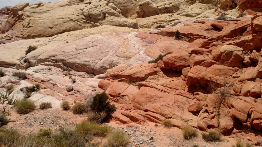
I noticed more haze and smoke than I had seen just south of Reno the day before when I got on the dreaded interstate in Sparks Tuesday morning.  I very shortly crossed back in to California and started to gain altitude as the highway took me west.  The further I drove the worse long distance visibility got.  I even skipped two overlooks (Vista Points) because there really wasn’t much to see.

I stopped in Truckee, CA to go to the visitor center but it didn’t open until later in the morning.  I did see this building nearby, an old “Flying A” gas station which is now home to a high-end German owned real estate company which specializes in very expensive properties, boats and yachts at locations all over the world.  They have an office here because of the proximity to Lake Tahoe.

IMG_20180703_085145040

IMG_20180703_085214744

IMG_20180703_085229305

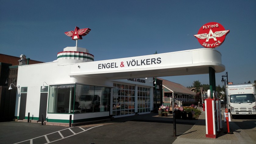
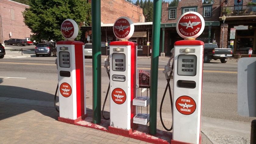
You don’t know how badly I wished I could have really bought gas here!

IMG_20180703_085238501

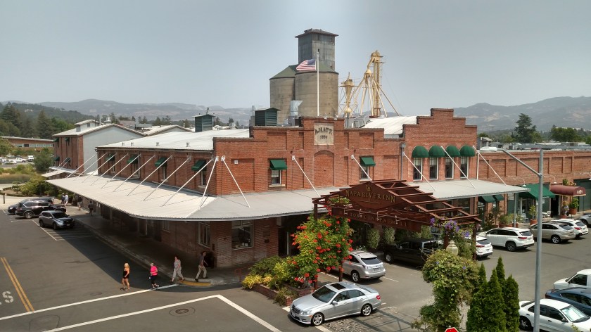
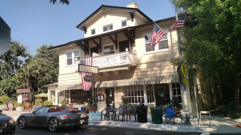
I got back on the highway and drove further west, towards Sacramento.  I made a two-hour stop there, which I will address in other posts, and then proceeded west to my ultimate destination in San Rafael.  Traffic was not bad at all and I made great time, so I got out near the coast by early afternoon.  I exited the dreaded interstate on Route 12 and headed northwest towards the Napa Valley.  I will also show pictures from the towns of Napa and Calistoga in other posts.

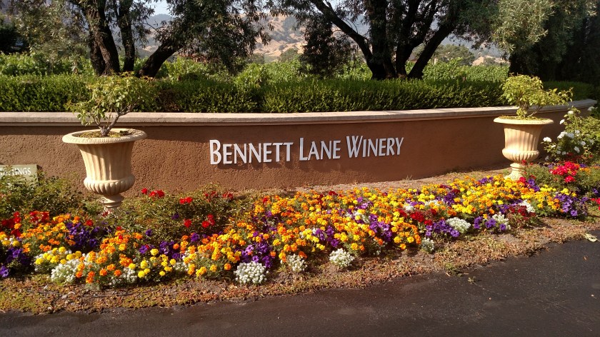
When I left Napa I drove northwest on the “Silverado Trail,” one of my primary scenic roads which runs parallel to, but slightly further east than, Route 29 which is the congested main thoroughfare between Napa and Calistoga, a distance of about 30 miles.  During my pleasant and relaxing drive I saw signs for different wineries on both sides of the road every 2 or 3 hundred feet.  Most of them were small wineries whose names I didn’t recognize but there are some of the big players here, too.

Here are some photos from one of the wineries showing the vineyards.

IMG_20180703_174300980

IMG_20180703_174353010

IMG_20180703_174401778

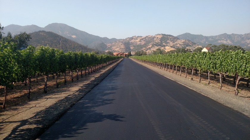
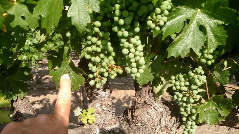
I reached out and touched the leaf next to the grapes to give you an idea how tiny the grapes are.  These looking like relatively young plants and there are older, more mature groves which have larger grapes.  The signs don’t tell you exactly what kind of grapes they are growing but most vineyards grow a variety.

IMG_20180703_174409749

IMG_20180703_174414717

IMG_20180703_174433734_HDR

IMG_20180703_174501636_HDR

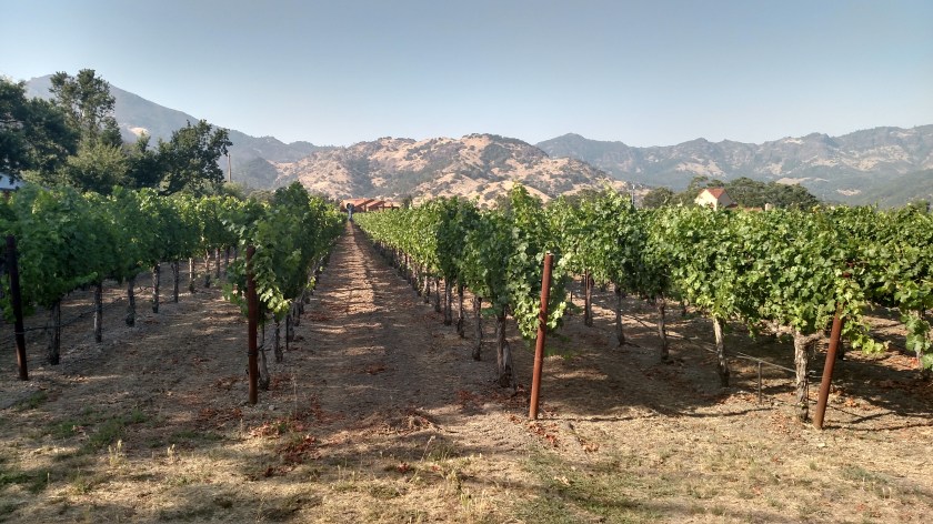
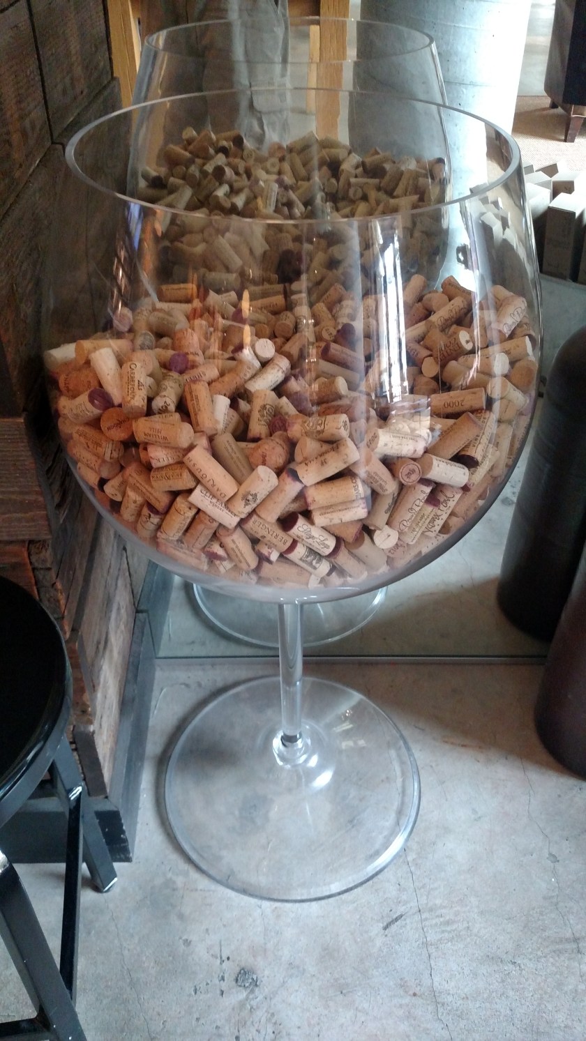
There.  Now you’ve seen one.  They are all pretty much the same, and I now see vineyards and wineries all over the country.  Some merely grow grapes which are processed elsewhere.  The bigger operations actually process and age the wine onsite.  Many offer tours but more and more are by appointment only.  Some have large, very impressive buildings where they offer wine tastings and have retail shops.  Some now charge admission for their tastings.  I didn’t stop at any of them.  I tagged along with my brother David and his wife Kendra about 20 years ago and we visited Robert Mondavi and a small, private winery in this area.  I don’t drink while driving during the day so I just passed all these places by.  In my 30-mile drive between Napa and Calistoga on Tuesday I bet I drove past 250 different operations, and this was just in a small area.  Wine is big business in California.

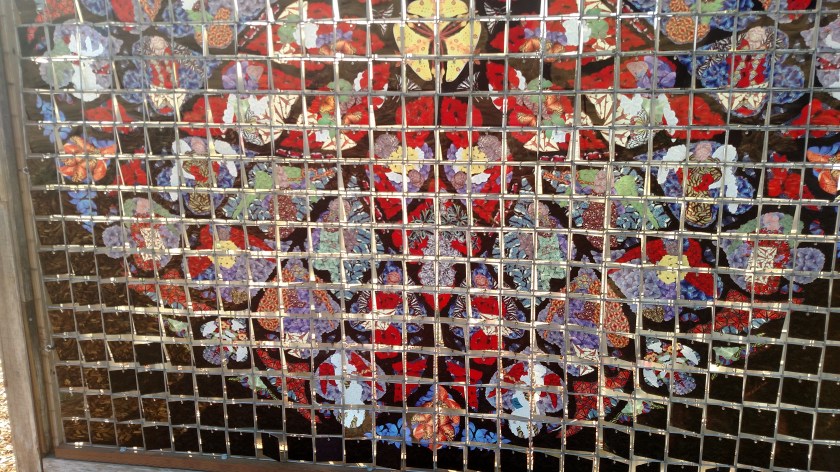
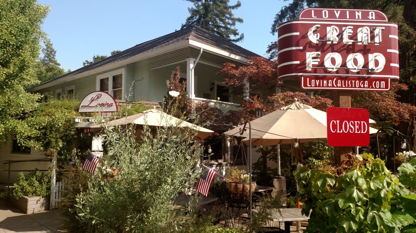
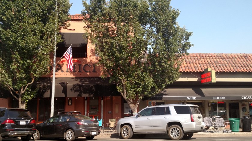
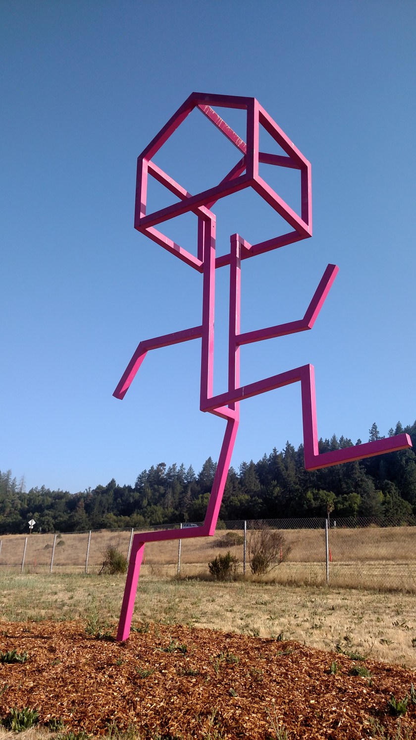
After having a late lunch and walking around Calistoga a bit I drove out towards “The 101” to get down to San Rafael.  Before getting on the highway in Geyserville I saw a few pieces of artwork next to the highway.

IMG_20180703_181910702

IMG_20180703_181925547

What really caught my eye was this huge 10 foot by 10 foot square made up of little metal squares which had colors and patterns on them (birds, butterflies, feathers, etc) which are mounted loosely by wire so they can move slightly in the wind.  The metal is also very shiny and reflects the sun.  As I drove towards this piece (called, simply, “Shimmer”) the sun was starting to set in the western sky and the road took me in a perfect alignment to see the piece sparkle in the sun.

IMG_20180703_181942481

IMG_20180703_182037086

IMG_20180703_182048322

IMG_20180703_182110606

This was the pattern on the other side, which would “shimmer” for drivers going north on “The 101” in the morning with the sun behind them.  It is a different pattern but I couldn’t get a wide shot because I would be looking towards the sun and couldn’t get far enough away to see the whole thing without the camera being blinded by it.

IMG_20180703_182221079

IMG_20180703_182227425


Happy and Respectful July 4th

While driving through the Lake Tahoe area on Monday I saw a guy on a red scooter with a huge American Flag attached to the back – a PERFECT July 4th image.  Unfortunately I was driving and not in a position to take a photo of him.  I was hoping I could find one online but here’s the best I can do.  This is a “build you own image” post:

ElectricVehicleMall

(Photo credit: ElectricVehicleMall.com)

WLTX-TV

(Photo credit: WLTX-TV)

And this guy makes my point pretty well, too:

Bethany Freedom Festival

(Photo credit: Chris Landsberger, The Oklahoman)

THANK YOU to all Veterans and those currently serving our country for protecting our freedom!

Something new to think about

No photo.

I arrived in San Rafael, just north of San Francisco, Tuesday evening.  After crossing back into California this morning the long-distance visibility quickly began to diminish the further west I drove, and by the time I reached the town of Roseville, east of Sacramento, I could smell smoke.  Lo and behold there is a huge wildfire east of Lake Berryessa which is northwest of Sacramento.  It only started a few days ago (reported 212pm on Saturday), has already burned over 72.000 acres and is only 15% contained.  I hadn’t noticed it on the map before I left home this morning.

After stopping in Sacramento for a while around lunchtime I continued west on Route 80 and headed towards Napa, where I spent about 2 hours walking around town, then took one of my primary scenic roads up to Calistoga, where I had a late lunch and walked around town a bit.  Turns out Lake Berryessa is not that far east from the Napa/Calistoga route I drove this afternoon.

To give you the scope of this fire, the CalFire Incident website provides the following information:

Fire crew members active – 2,665

Fire engines active – 274

Helicopters active – 18

Bulldozers active – 67

No mention of fixed-wing aircraft.

The TV news reports in Reno this morning showed that the “multi-engine aircraft” used to drop retardant on the Evans Fire southwest of Reno on Sunday afternoon was, in fact, a large jet (like a 737).

Travel Day

No photo.

Tuesday is a travel day as I go from Sparks, Nevada where I have been the last three nights, west on the dreaded interstate to San Rafael, California – just north of the Golden Gate Bridge in San Francisco.  I’ll be there a whole week and the weather looks ideal so I hope to share lots of great things from that area in the coming days.

This morning I see that a new wildfire has popped up near another of my scheduled Airbnb venues later in the trip.  I have a reservation for two nights in Gold Beach, Oregon at the end of July.  The Lobster Creek Fire started Sunday just 12 miles northeast of there and is spreading south.  It is apparently in especially difficult terrain.  There is lots of time between now and then so I wish the firefighters luck in getting it under control.

Valley of Fire – Post 1 of 3

Since I am back in Nevada I thought this would be a good chance to post my remaining pictures from Valley of Fire State Park, northeast of Las Vegas, which I went to back on June 2.  To see my earlier post of pictures I took there search “Valley of Fire” on the Home page or use the calendar grid to go back to June 3, 2018.

Here are various things I saw throughout the Park:

IMG_20180602_122757773

IMG_20180602_124925113

IMG_20180602_125137872

IMG_20180602_125141623

IMG_20180602_125433758

IMG_20180602_125439723

IMG_20180602_125617681

IMG_20180602_125648183

Valley of Fire – Post 2 of 3

Since I am back in Nevada I thought this would be a good chance to post my remaining pictures from Valley of Fire State Park, northeast of Las Vegas, which I went to on June 2.  To see my earlier post of other pictures from there search “Valley of Fire” on the Home page or use the calendar grid to go back to June 3, 2018.

This is called Atlatl Rock.

IMG_20180602_113343670

IMG_20180602_114602472

If you look closely at those two pictures you will see a set of metal stairs leading about halfway up this massive formation.  If you climb the stairs you get to see petroglyphs on the rock, created an estimated 4,000 years ago.  They are a little hard to see in the photos due to the sun angle:

IMG_20180602_114802139

IMG_20180602_114813245

IMG_20180602_114844153

IMG_20180602_114848690

And just up the road from Atlatl Rock is Arch Rock:

IMG_20180602_115457160

IMG_20180602_115503965

DSCN0465

DSCN0466

Valley of Fire – Post 3 of 3

Since I am back in Nevada I thought this would be a good chance to post my remaining pictures from Valley of Fire State Park, northeast of Las Vegas.  To see my earlier post from there search “Valley of Fire” on the Home page or use the calendar grid there to go back to June 3, 2018.

Here are various things I saw throughout the Park:

IMG_20180602_110909422

IMG_20180602_111604679

IMG_20180602_111731829

IMG_20180602_112033732

IMG_20180602_112542149

IMG_20180602_112620682

IMG_20180602_112706546