Death Valley – Day 1 – Post 3 of 3

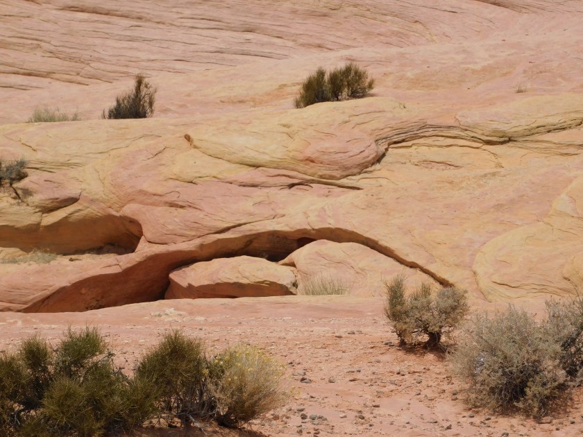
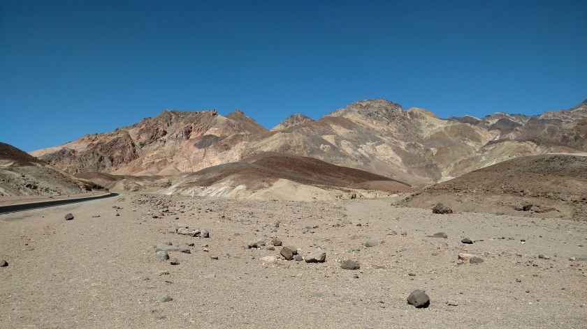
After stopping at the Furnace Creek Visitor Center I continued to drive south.  This is when things started to get interesting.  The next stop as I proceeded south along the east side of the valley was Artist’s Point.  There is a one-way paved road which leads part way up into the mountains and it is said that the colors and hues change constantly as the sun rises, moves across the sky, and sets.  It is a popular place for artists and photographers to gather.

IMG_20180603_151833495

IMG_20180603_152216720

IMG_20180604_115558364

DSCN0655

One particular overlook is called “Artist’s Palette”:

DSCN0661

DSCN0660

DSCN0663

DSCN0664

DSCN0665

DSCN0667

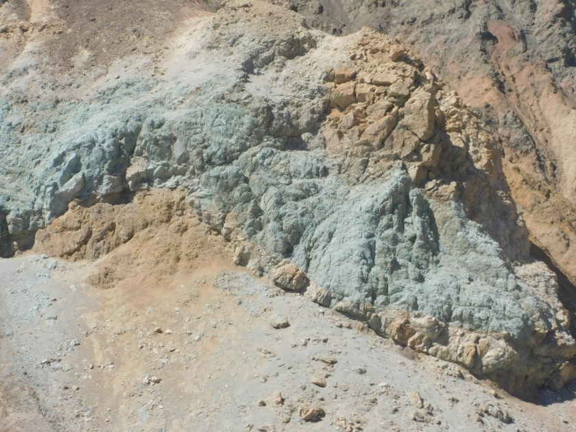
I’m sure you can find some great pictures by either Googling “Death Valley Artist’s Palette” and looking at “Images” or go on the National Park Service website and go to Death Valley and look at photos there.

Before I left Artist’s Point I saw this little shrub, sitting just off the side of the road.  To me it looked deader than dead:

IMG_20180603_152654749

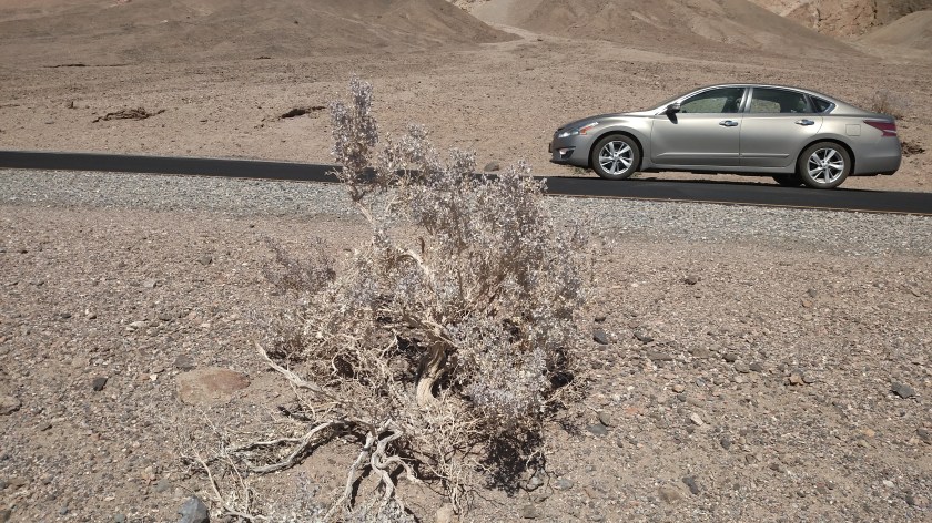
I stopped at the Visitor Center again today and asked a Ranger and he said no, it is very much alive.  It is called a Desert Holly and can apparently act like a chameleon and lighten the color of it’s leaves when it gets dry.  When it gets moisture from rain it will turn green and has very waxy leaves.  You’ll see other pictures of this plant in future posts.

The next stop down the road was the Devil’s Golf Course, which is off the main road going towards the center of the desert floor.  It isn’t really a golf course, and unfortunately for me the access road is comprised of dirt and rock so it was a no go.  According to a picture at the Visitor Center this is what the white surface out there looks like:

IMG_20180603_150600851

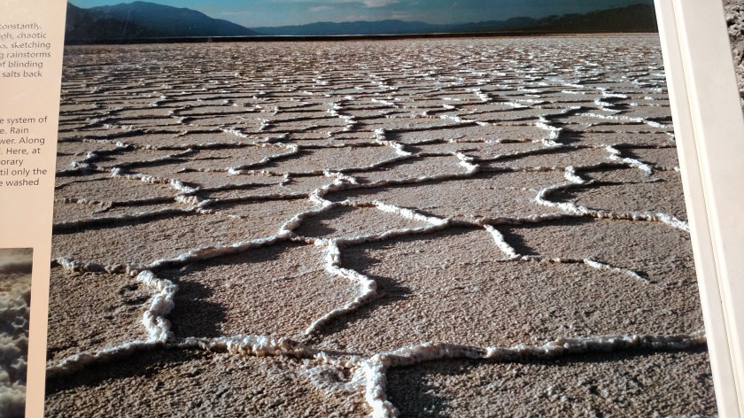
Those are salt crystals, oozing up from cracks in the desert floor.  They are comprised mostly of sodium chloride (common, everyday table salt) but if you go out there, wear your heavy golf shoes.  In some places the salt is sharp enough to cut through leather.

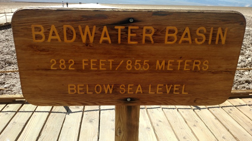
The next stop down the road is probably the most popular place in the Park:

Badwater.

Badwater Basin is the lowest point in North America, at 282 feet BELOW sea level.

IMG_20180603_150547183

People were actually walking out into the valley.  At this point it was 3 o’clock in the afternoon, about 2 1/2 weeks shy of the longest day of the year.  The temperature…..  are you ready for this…..  had climbed to 120 degrees Fahrenheit.  The temperature gauge in my Mazda 6 would exaggerate, but I currently drive a Nissan Altima and I have come to find that the temperature gauge in it is pretty accurate, especially when the car is moving.  I can tell you – it was pretty darn hot!  I also heard reports from other sources confirming that 120 was the magic number on Sunday.

IMG_20180603_150457960

I decided I had had enough fun for one day and started my journey back to Pahrump.  I planned to exit the Park through the 3rd road coming in from the east but before I left I drove up to Dante’s Peak.  This overlook is located at the end of a 13-mile access road and sits at 5,475 feet above sea level – more than a mile high.  The view of the valley is spectacular, but the pictures I took on Sunday were looking in to the sun so they aren’t very good.  I went back up there this morning (Monday) and will post those pictures tomorrow.  I will tell you that when I drove up there Sunday afternoon the temperature had dropped from 120 at Badwater Basin to a crisp, refreshing 94 degrees at Dante’s Peak.

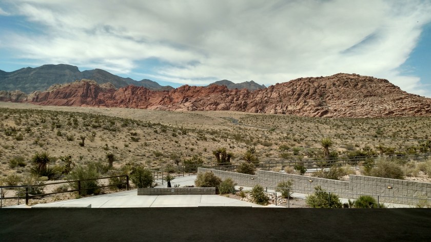
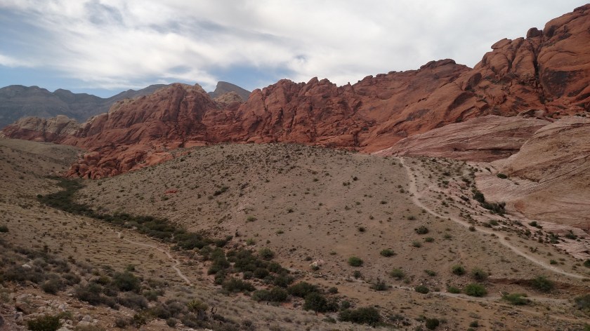
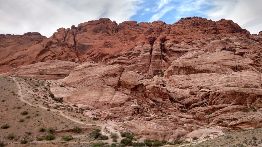
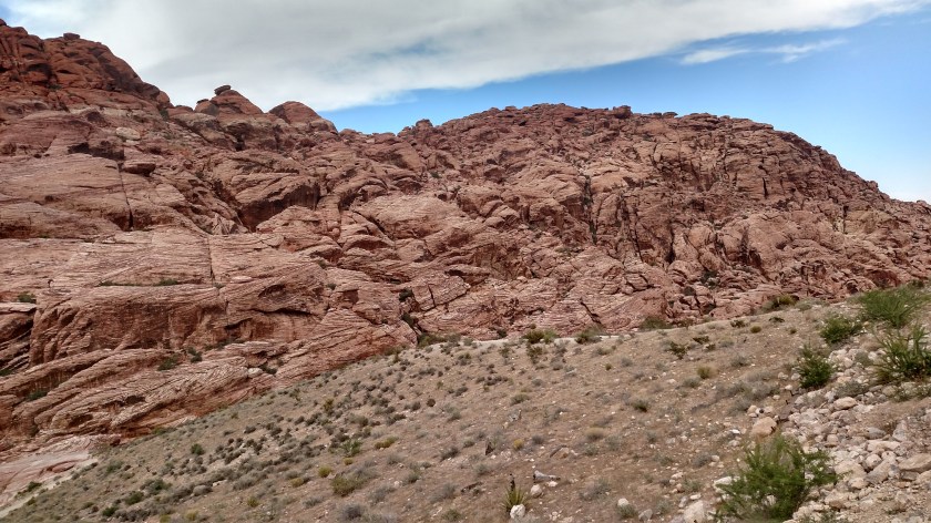
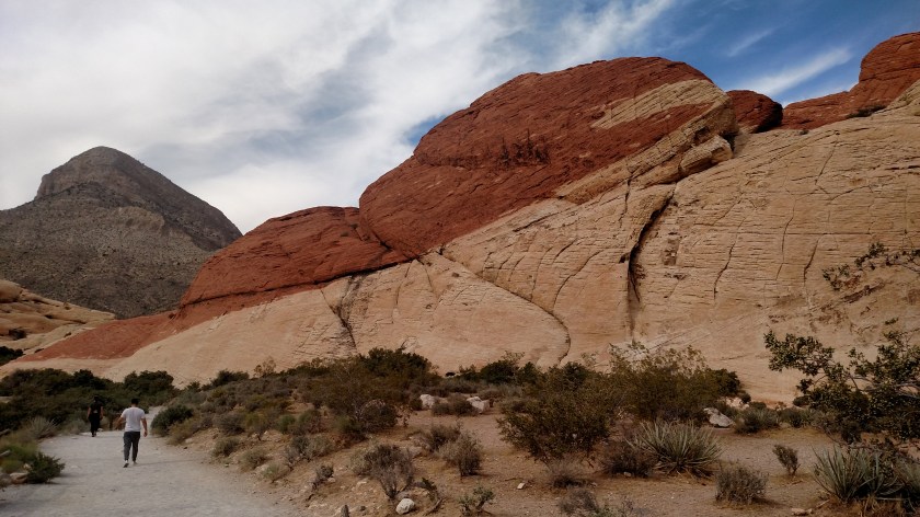
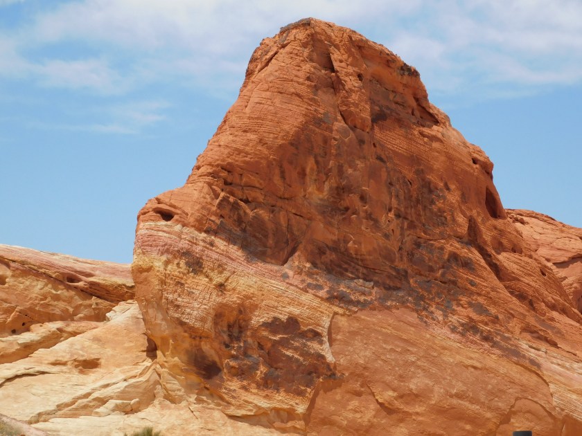
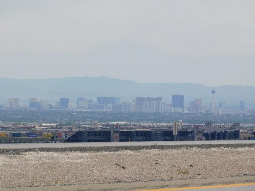
I plan to go back down to Red Rock Canyon, near Las Vegas, tomorrow morning to get some pictures from down there with the sun behind me.  I may not go back in to Death Valley until Wednesday, when I will drive across the valley to the west side and visit all the things along the paved road over there before heading south to Barstow, California, my next stop.

After I get back from Red Rock Canyon tomorrow I will probably try to get caught up on posting pictures from today as well as more pictures from Black Canyon, Goblin Valley, Canyonlands and Zion.  I have them all identified – I just need to post them!


Oops…. I’m doing it again…

I realized yesterday that I am posting everything backwards again.  It is easier for me to post the events of a day as they happen, but then they are out of order as people scroll down the page.  I will try to post the end of the day first, then work backwards.

Sorry – I seem to be out of practice…

Red Rock Canyon

After visiting Valley of Fire State Park I drove through the city of Las Vegas (on the interstate) and headed west towards my destination of Pahrump, NV.  I made a side trip to drive on one of my “primary” scenic roads, which is what I base my trips on.

This Canyon is not to be confused with the Red Rock Casino, which is also west of Las Vegas, or the Red Rocks Amphitheater which is outside of Denver, Colorado.  This Red Rock Canyon is about 40 minutes southwest of Las Vegas off of Route 160.  It is a federal BLM (Bureau of Land Management) managed property which, in addition to many hiking trails, has a beautiful scenic roadway (newly paved, I might add) which meanders through it.  There were many overlooks where I could stop and take photos.

This is the view of one of the main formations from the Visitor Center:

IMG_20180602_160800643_HDR

Here is a three-photo panorama, looking left to right, once I got closer to it:

IMG_20180602_162040162

IMG_20180602_162044360_HDR

IMG_20180602_162049710_HDR

The colors and patterns, especially in the middle photo, were quite detailed.  There was a slight overcast and I have already learned that my new digital camera doesn’t do very well with closeups unless there is full sun.  This place is only about an hour away from where I am staying for a few nights and, depending on what progress I make visiting Death Valley, I may come back here one morning when there is full sun to get some good closeup shots.

Here is an unusual color combo:

IMG_20180602_163732972

And in another part of the Canyon the mountains looked very different from what I have seen most places:

IMG_20180602_165531656

IMG_20180602_165800596_HDR

And getting back to the Visitor Center for a moment, in addition to information about the Canyon they had a photography exhibit featuring the winners of a recent contest.  I found this photo especially appealing:

IMG_20180602_160458505

(Photo credit: James Resch, winner of the blue ribbon in his category)

Valley of Fire State Park

After taking my scenic roads from Cedar City, Utah towards Las Vegas I went to revisit Valley of Fire, which I had been to several years ago. This incredible Park is located about 50 miles northeast of Las Vegas, 32 miles north on the dreaded interstate and the rest of the way on a two-lane road with a ridiculously low speed limit.

While there are many interesting formations at the Park which I will post photos of in the near future, I want to show you some other colors than the reds, browns and beige’s you have been seeing at many of the places I have been visiting recently.

This rock was laying in the sand in a sandy path to an overlook. It is about twice the size of my shoe. I hope the pictures do the colors justice.

DSCN0473

DSCN0474

DSCN0475

DSCN0476

Here is a colorful portion of a mainly light-brown formation:

DSCN0480

And I zoomed in on some sections of this multi-colored formation:

DSCN0481

DSCN0482

DSCN0483

Here is another very large formation, and I zoomed in on various spots on it:

DSCN0484

DSCN0485

DSCN0486

DSCN0487

DSCN0488

The colors and textures are really amazing. And this is all nature at work – not man-made art.

One final photo to tease you for future posts. This looks like chocolate and vanilla ice cream. Or, dare I say, rocky road…. Get it?….. Rocky?

DSCN0496

Thank you, thank you, thank you. I’m here all week. Remember to tip your waitresses.

Livin’ high in the desert

Saturday I drove west and south on some scenic roads from where I had been staying in southwest Utah towards Las Vegas.  At one point, in little Alamo NV, I stopped at a convenience store before driving through approximately 75 miles of desert where there were no gas stations or other services.

I normally don’t make a habit of posting food pictures but this is an exception.  To my surprise, that little convenience store has a Crab Louie salad!!

IMG_20180602_113646958

IMG_20180602_113701565

Ok, ok… so it was crab with a K.  Imitation crabmeat.  But hey, this was in the middle of the freakin’ desert.  I figured I would have been lucky to have found a decent chef salad.

Now let’s see… which aisle is the shrimp cocktail and Proseco in?….

But it’s a dry heat…

DSCN0542

Back home, in Durham NC, they have been experiencing a late-spring heat wave, with highs in the 90’s and humidity at or near 100%. I can tell you from experience that is NOT pleasant.

Yesterday, as I drove through Las Vegas on my way to my destination in Pahrump NV, it was 98 degrees in town and the humidity was only 7 percent!

My late aunt, who lived in Tucson AZ, always said “yes, but it’s still pretty darn hot when you get in your car and touch the steering wheel…”.


The photo (which I realize isn’t that great) is of the as Vegas skyline in the distance, and Las Vegas Motor Speedway (with the main grandstand facing away from you) in the foreground.  This photo was taken from the side of I-15 in the breaks between vehicles zipping by.

Name that cactus…

Can anyone (without looking it up on the internet) tell me what variation of cactus this is? I have never seen any like this before.

The green part looks like a branch on a Christmas tree. I have a name in mind but want to wait until I get to my destination to see if I’m right.

The long and winding road??

Today is a travel day and I am scenic Route 93 in southeast Nevada.

Here is where I am going:

And here is where I am coming from:

There are times I feel like I could tie my steering wheel to something to keep me going straight and take a short nap…

You can’t tell from the smaller pictures in the post, but if you save them to your computer and look at them full-screen you’ll find that in both pictures you can see the road going even further straight, off into the distance, which I what I could see with my own eyes and is why I took the photos.


Dinosaur Tracks

This little area was located a short distance up the gravel road from the Parowan Gap Petroglyphs site.  I didn’t walk around too much, and only saw one place where a footprint had been preserved on a big rock:

IMG_20180601_130126402

IMG_20180601_130130254

This impression was made by a 3-toed hadrosaur some 65-75 million years ago.

I did see these two characters out basking in the sun:

DSCN0414

DSCN0417

DSCN0422

DSCN0423

DSCN0427

Parowan Gap Petroglyphs

My Airbnb host here in Cedar City, Utah told me about this place, which is located out in the desert about 20 miles northwest of town.

IMG_20180601_122707817

IMG_20180601_122931116

IMG_20180601_123521313

Petroglyphs are drawings and symbols etched into rock.  These are thought to have been done by the Paiute and/or Fremont Indian tribes many years ago.

Here is an interpretation of what some of the symbols represent:

IMG_20180601_123838631

And here are photos of some of the symbols:

DSCN0381

DSCN0382

DSCN0383

DSCN0384

DSCN0385

DSCN0391

DSCN0392

DSCN0393