Canyon de Chelly – Close-ups (3/3)

These were all taken using the digital camera on Tuesday at Canyon de Chelly National Monument near Chinle, Arizona.  These were all taken at the first overlook I stopped at as I approached the Monument from the northeast.  There will be more pictures from other overlooks posted in the coming days.

IMG_9795

IMG_9803

IMG_9805

While some of the following photos might appear to have been taken from a greater distance if viewed alone, these were all what I saw down by my feet where I was walking!  It doesn’t look like this everywhere I’ve been but this particular spot was noticeable.

IMG_9814

IMG_9815

IMG_9816

IMG_9817

IMG_9819

The yellow and reddish striped rock below is about the size of a microwave oven.

IMG_9830

Aztec Ruins National Monument (1/2)

Thursday was kind of a slow news day.  It didn’t rain, and temperatures were much more pleasant so I tried to spend much of the day outdoors.  It started off cool but warmed up to the upper 60’s by early afternoon.  I didn’t want to venture too far from Durango until I get new tires put on first thing Friday morning.  I went in to Durango in the morning, walked around town a good bit and had lunch.  I went back to the house (about 10 miles south of town) and dropped off some maps and materials I will need later, then headed about 20 miles further south to the little town of Aztec, New Mexico (I am staying in Colorado but am very close to Four Corners so 3 other states are close by).  I toured the Aztec Ruins National Monument, then went back up to Durango to spend some time relaxing and people-watching in their city parks, many of which were along the Animas River and had a paved walking/bike trail.  Lots of folks out walking, jogging and biking (schools were out by late afternoon).

********

The Aztec Ruins are located in Aztec, New Mexico.  Aztec was the name of the village and was NOT built or occupied by the Aztec Indian Tribe of central Mexico, which is what I would have assumed.  This village was constructed from the late 1000’s to the late 1200’s and was modeled after the villages at Chaco Canyon, which I visited earlier in the week.  Chaco is about 55 miles south of Aztec.  The villages there were thought to have been built between 850 and 1130.  The buildings here were constructed of different types of rock than those at Chaco Canyon.

And a big reason why ruins are ruins is that after these villages were abandoned, people from other groups came and pilfered the materials to build their own villages.

Aztec Ruins was declared a National Monument by Congress in 1923.  In 1987 is was declared a World Heritage Site due to it’s cultural significance.

IMG_20170928_131127977

IMG_20170928_131142900

IMG_20170928_132421142

IMG_20170928_132423997

IMG_20170928_132427479

Kind of hard to tell from the picture but in the photo below the window (or doorway) in the upper left hand corner of the photo was actually built into a corner where two walls intersect, a novel concept for when these structures were built.

IMG_20170928_132835977_HDR

IMG_20170928_132907259

IMG_20170928_132946072_HDR


Aztec Ruins – Great Kiva (1/2)

This restored Kiva is one of the main attractions at this Monument.  This was used for various religious ceremonies.  There were signs stating that this was a sacred place, and that we should be quiet and show proper respect.

This photo on the official US Park Service brochure/map (which I get at every Park and Monument I visit) shows the ruins from overhead.  The Great Kiva is the large, round structure in the lower center of the picture. I entered at the bottom and exited in the square room at the top, as seen in the photo:

IMG_20170928_155234619

This map was in the booklet each visitor was loaned, to use while touring the site and explaining what we were seeing at the various numbered stops.  The Visitor Center is at the lower left and I traveled through the property in a counter-clockwise direction:

IMG_20170928_133239867


IMG_20170928_131931301

IMG_20170928_131945483_HDR

After going through the main doorway, steps led down to a lower level where the ceremonies actually took place:

IMG_20170928_132004676

The square and rectangular pits are seen in many of the photos of kivas here and at Chaco Canyon, which I visited earlier in the week.

IMG_20170928_132014974

IMG_20170928_132020688

IMG_20170928_132038374

IMG_20170928_132044119

Aztec Ruins – Great Kiva (2/2)

More photos from inside the Great Kiva, the largest round structure on the property.

One of the two rectangular depressions in the floor of the round room, one on either side of the square pit in the center of the room:

IMG_20170928_132050714

Looking up at the ceiling of the round room:

IMG_20170928_132138255

IMG_20170928_132201972

These “windows” opened up to a series of rooms at ground level which were located around the main room and were accessible from the open doorways facing outside the structure:

IMG_20170928_132222072

Branches built in to the vertical shafts supporting the ceiling:

IMG_20170928_132247756

The ceiling above the square area after taking the steps up to ground level:

IMG_20170928_132301970

A square block looking back towards the stairs leading up out of the main round room:

IMG_20170928_132327732

A little room off to the side after getting up to ground level:

IMG_20170928_132349896_HDR

Emma Sweeny

Late in the afternoon I ended up in Santa Rita Park, one of several very nice city parks in Durango.  I saw a colorful train under a canopy and assumed it was one used on the Durango-to-Silverton line (which I will be taking on Monday).  I was wrong.  This is a movie and TV star.

The Emma Sweeny appeared in the 1950 film A Ticket to Tomahawk (before my time, I was born in 1954).  This is the actual engine and coal car but a horse-drawn mock-up was used to shoot some scenes here in Durango.  That model has been acquired by a local group and is being restored and will be placed in the railroad museum.

IMG_20170928_162634833

IMG_20170928_162405632_HDR

Kind of hard to see in the picture above but note the elk antlers above the headlight in the photo below.

IMG_20170928_162439380_HDR

IMG_20170928_162508435_HDR

IMG_20170928_162531356_HDR

IMG_20170928_162541699_HDR

IMG_20170928_162556344_HDR

IMG_20170928_162601272_HDR

This engine was also used (with a different headlight and smokestack) in the opening sequence of the TV show Petticoat Junction (1963-1970).  That show I do remember….

In the show it was called the Hooterville Cannonball.  There is a town just north of Charlotte, North Carolina called Huntersville (I lived with friends in north Charlotte for 6 months in 1994 when I moved to NC from Pennsylvania).  To this day, I like to call it Hooterville.


Welcome newcomers! And exciting blog news for all….

(No photo)

And THANK YOU to all my followers.  I have noticed a nice increase in followers in just the last few days, including many names I don’t recognize.  Thanks for checking out my blog and please share it with others you think might enjoy it.

Good news – My blog can now be (or will soon be) found at johnboystravelblog.com

A reserved domain name is part of the friendly service with a smile that WordPress (the host site) offers for what I am now paying them.  I will soon be upgrading to an even higher level, as I am approaching the maximum amount of space I am allowed as a Premier site and will take it to the next level, which will be unlimited.  There will be no stopping JohnBoy!

Based on an online conversation I just had with WordPress Support I have added a calendar to the home page.  This will allow you to go back in time and view older posts without having to scroll down through all entries.

Everyone sees the most recent posts first, so when you log in each time simply keep scrolling down until you see something you’ve already viewed.  If you are interested in going all the way back to the beginning (either in original order as posted or in reverse order) then keep track of what date you left off on and then resume your viewing at another time.  Maybe get a 2017 calendar and mark on it what dates you’ve already seen.  I left for this trip July 5 and started posting on the 7th.  I have posted just about every day since then, with some exceptions.  You will notice that posts have evolved in format and content (including LOTS more pictures) as I try to learn how to do this.

You may also use the Search function on the Home page to look for specific things or to find the date I posted something.

And although I like having followers, if you don’t want to keep getting emails in the middle of the night telling you when I have posted something (which you probably then delete), you may take your name off the list and just check the blog at your discretion.  And the best way to check the blog is to just go to the site, do NOT link to it from each individual email.  I initiate each post with my cell phone (which is when you get the email), then add pictures and commentary using my computer as much as 4 or 5 hours later, so you may not be seeing the finished product.

Again, thank you all.  Please feel free to share comments, good or bad, either on an individual post (you have 14 days from the original date of post) or privately via “Contact” at the top/right of the Home page.

Canyon de Chelly (1/5)

I apologize for the one day delay in posting.  After visiting this venue on Tuesday and getting back to Durango I was exhausted and went to bed shortly after I arrived just before sunset.  I slept 6 straight hours, unusual for me, and when I woke up around 2am I realized how cold the house was – not bad for sleeping, but not good for downloading pictures and blogging for 4 hours.  I got back under the nice warm blankets and went back to sleep.  Yesterday morning I was shocked to learn that there was not room on my computer to download the 735 pictures I had taken on Tuesday!  I spent much of the morning making more backups and deleting things to make room for more.  I’ll need to do some serious off-loading when I get back to Durham.  I also needed to tend to some other chores (laundry, ordering new tires for the car, getting the oil & filter changed, arranging a wheel alignment, cleaning and organizing things in my car, getting out warmer clothes, etc) and the day became full very quickly.  It started raining around noon and never got above 60 degrees so it was a good day to be indoors anyway.  Turns out I cut one of my tires on the nasty road in to Chaco Canyon on Monday (imagine that!!) and the left front keeps losing air.  I was planning to get new tires here anyway but now I don’t want to drive any distance until they arrive and I get them installed.

As I write this I am bundled up in a sweatshirt and have an extra blanket on my legs (I get cranky if my knees get cold).  I kicked the thermostat up a few degrees before I started downloading pictures and will lobby to set it higher the remaining nights I am here.

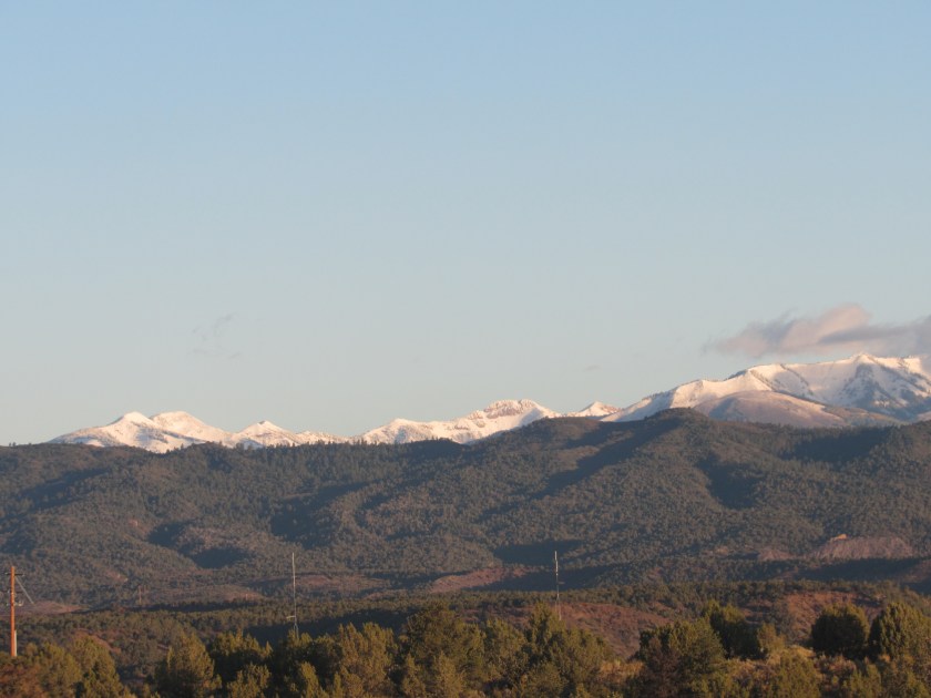
There was a light dusting of snow the night before on some of the higher mountain peaks, as there was down in Taos.  After the rain moved out this afternoon I see there is now substantially more snow on the mountains north of Durango.  Things could start getting interesting during the next two weeks here in Colorado, as I’ll only be going further north.  I may even see snow when I take the train ride from Durango to Silverton on Monday, the only upcoming day during my stay when there is zero chance of rain in the forecast.

********

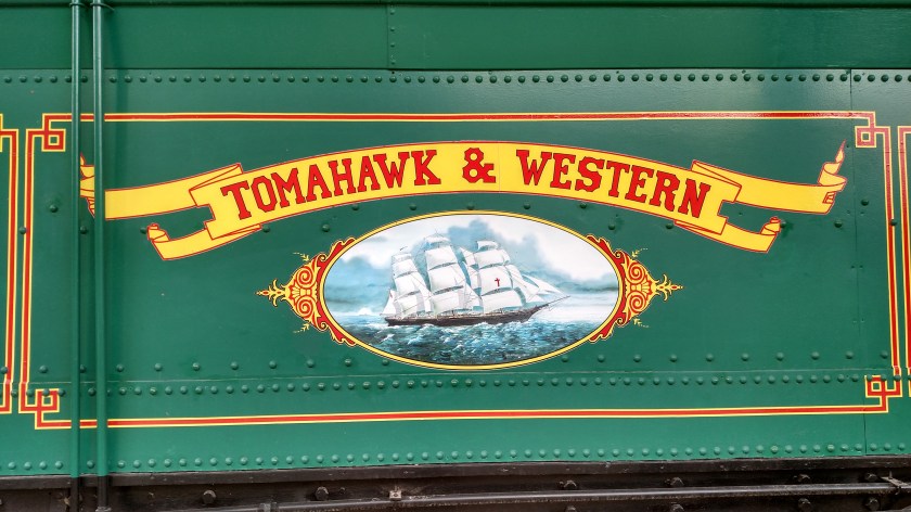
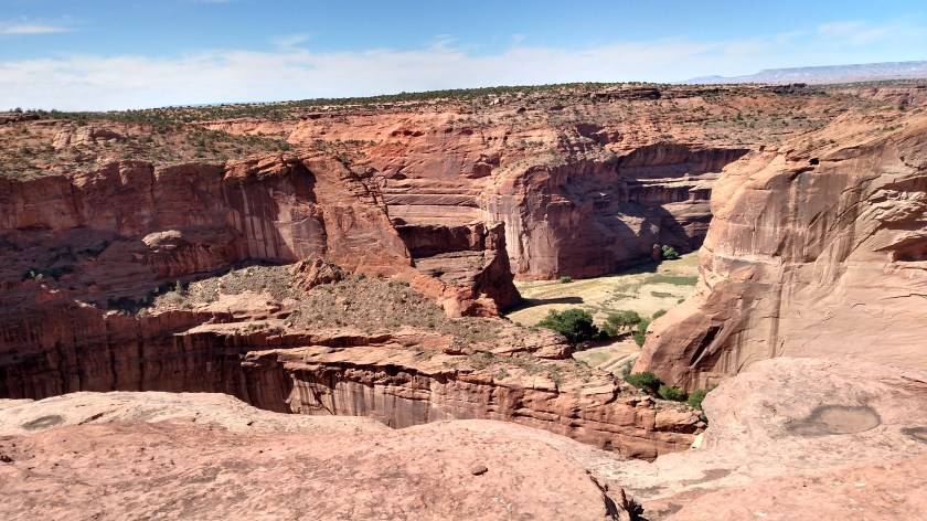
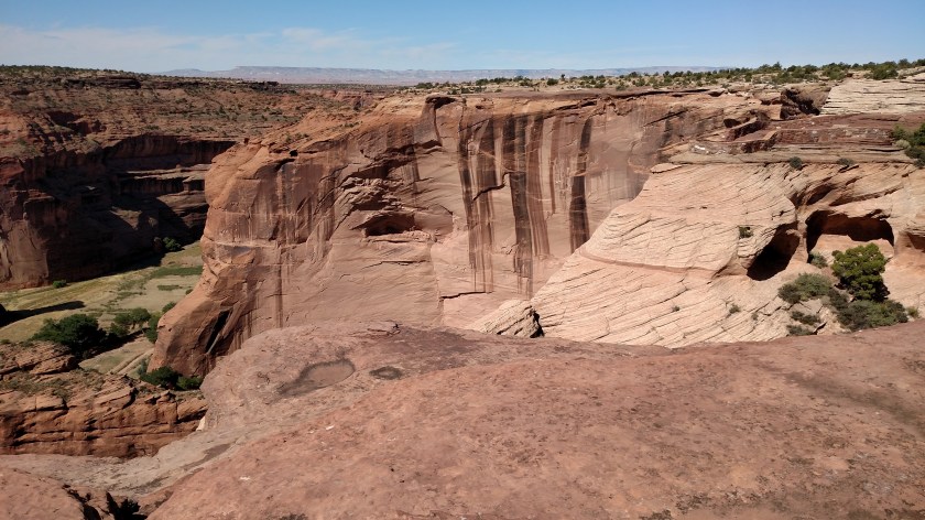
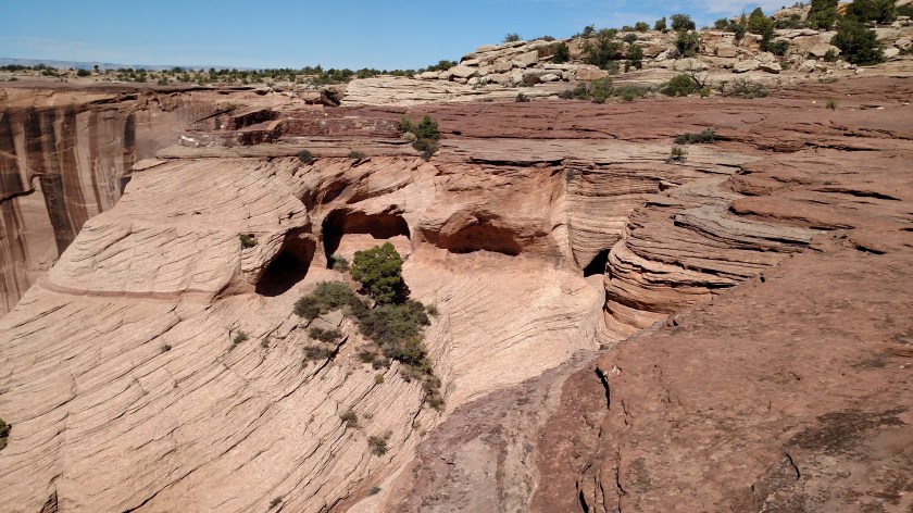
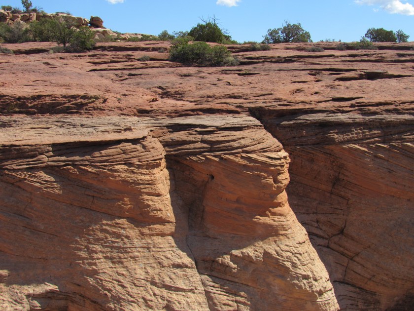
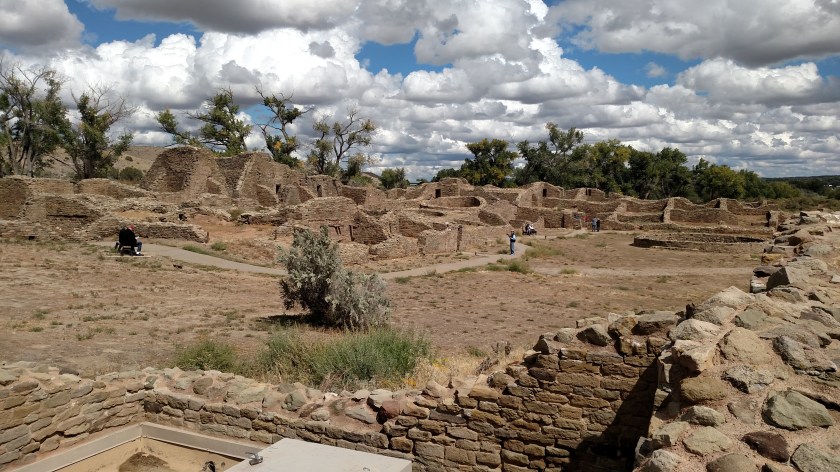
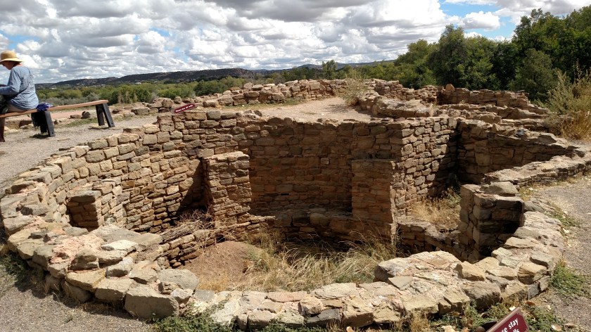
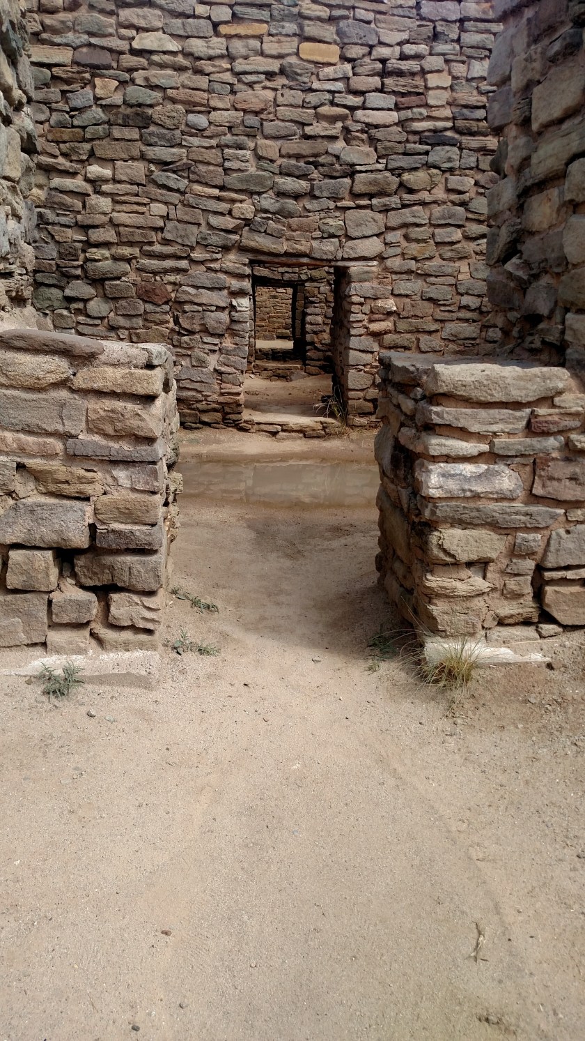
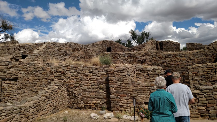
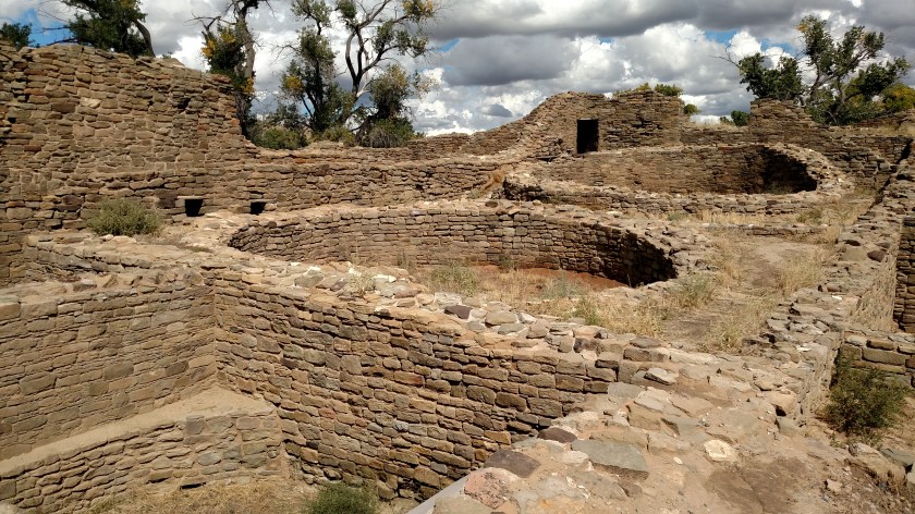
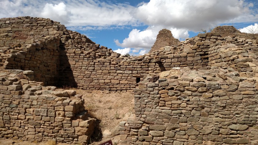
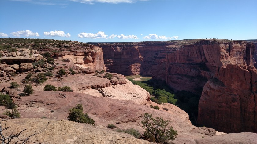
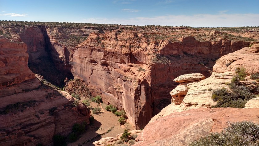
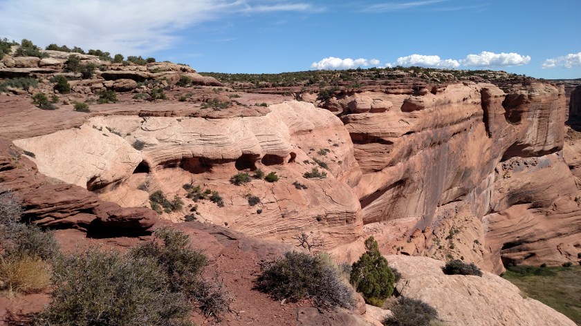
On Tuesday I drove from Cortez, Colorado down to Canyon de Chelly National Monument in northeast Arizona (keep in mind, I am very close to “Four Corners,” where Colorado, Utah, Arizona and New Mexico meet, so it doesn’t take long to get from one state to the other).  I approached the Canyon (whose name is pronounced de SHAY) from the northeast, on a series of scenic, paved “Indian Roads”. When I got to the first series of overlooks I did not yet have a map, so I didn’t know exactly what I was looking at, or that there were some small cliff dwellings scattered amongst the cliffs (I still haven’t had time to scrutinize the photos in detail to see if I happened to photograph any of them).

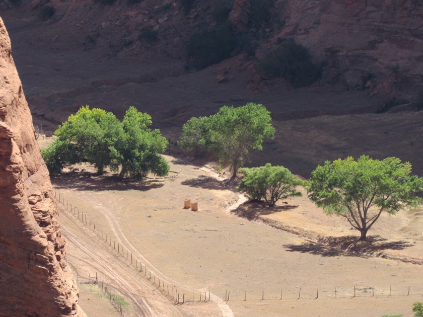
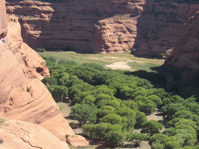
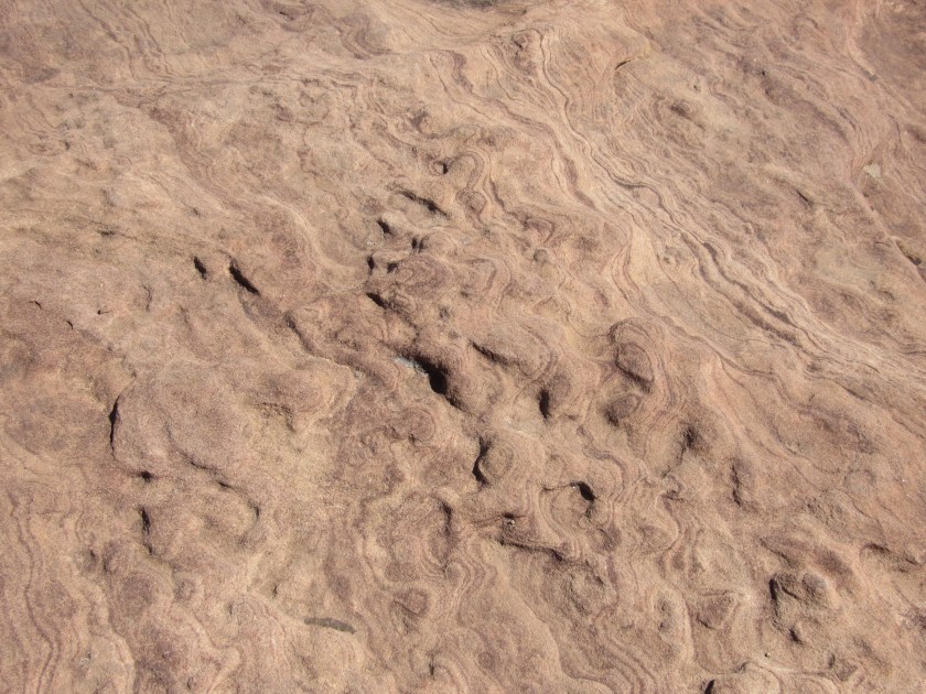
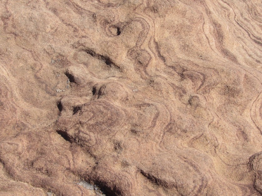
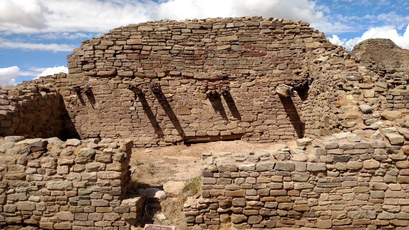
Now THIS is a canyon!….

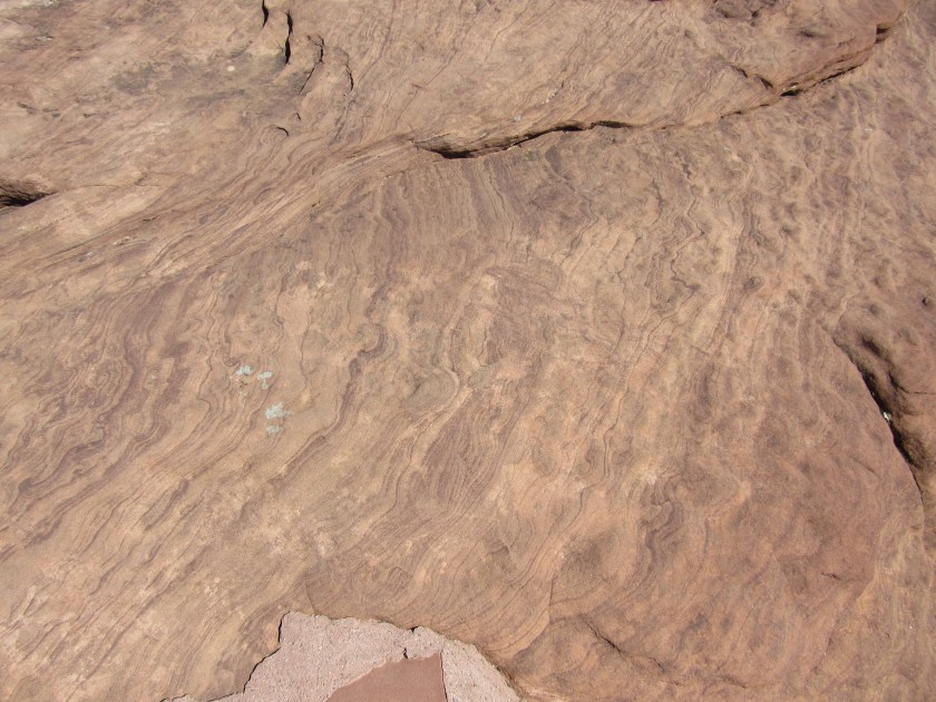
These were all taken with my smartphone camera.  Close-ups, taken with the digital camera, will be posted later.  I’ll obviously point out if there are any cliff dwellings.

IMG_20170926_112234547

IMG_20170926_112240146

IMG_20170926_112245159

IMG_20170926_112811186_HDR

IMG_20170926_112820808

IMG_20170926_112852393

IMG_20170926_112919941_HDR

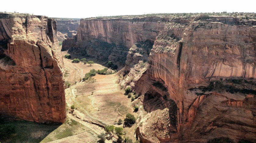
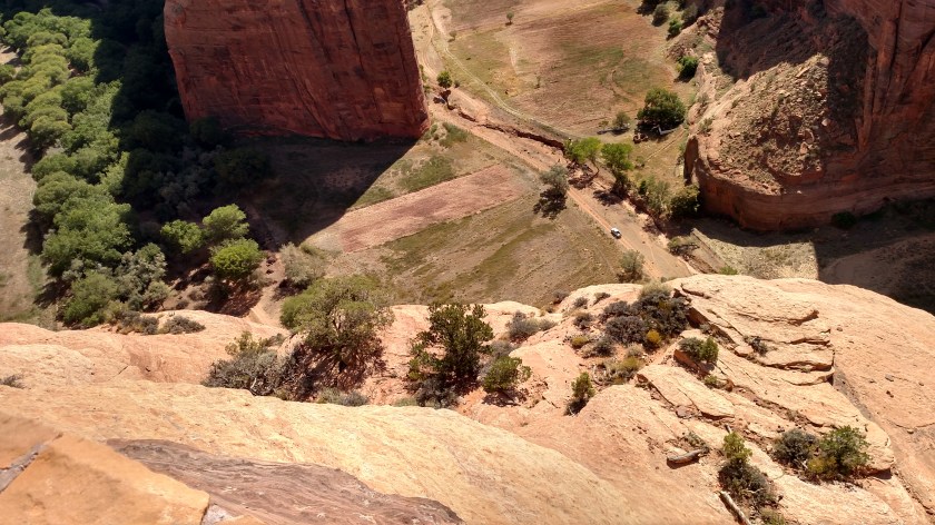
If you look at the right side of the photo below you’ll see a white pickup truck on the dirt road.

IMG_20170926_112927472_HDR

IMG_20170926_114213364_HDR

IMG_20170926_114218107

IMG_20170926_114311063