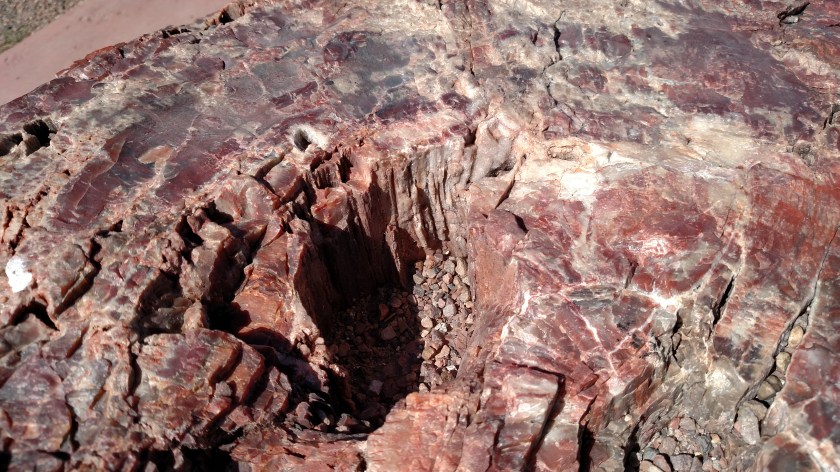
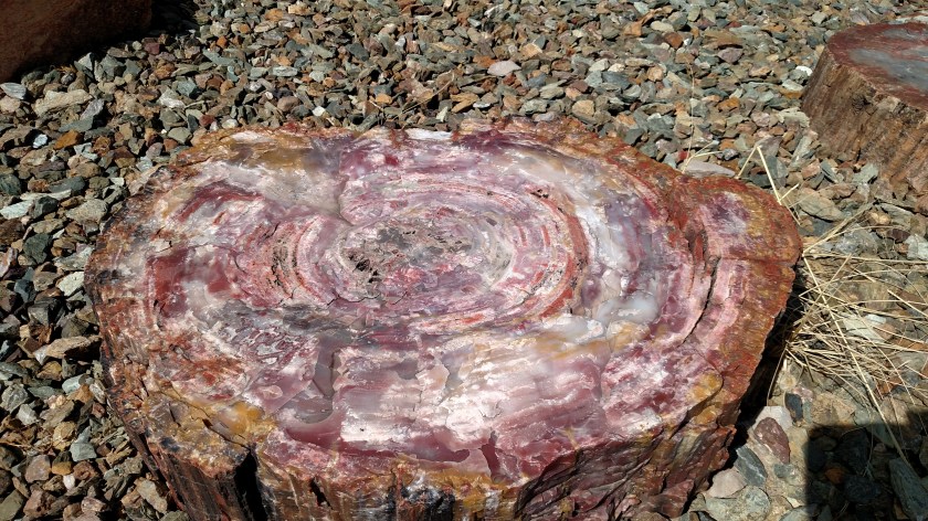
The days I was at the Grand Canyon the thing that impressed me the most (after getting accustomed to the spectacular view) was watching the birds. Although there are many other players, the main attraction generally consisted of ravens, red-tailed hawks, turkey vultures and the ultimate vulture, the California Condor.
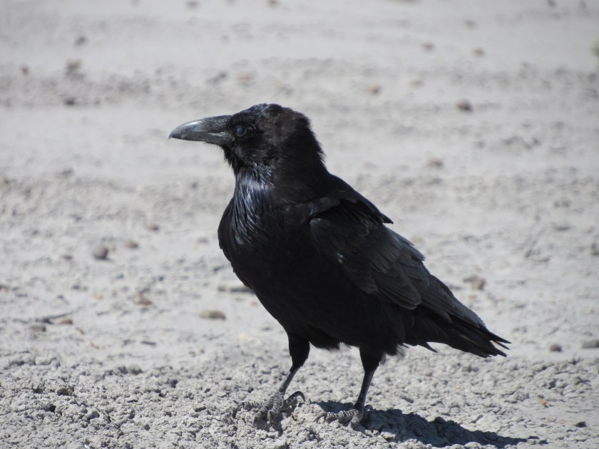
I tried and tried to get photos of these birds in flight but became increasingly frustrated at my inability to get acceptable photos which were blogworthy. I finally decided to just enjoy what I was seeing and resort to internet research to share what other, more talented, photographers were able to capture. I do have some raven pictures, some taken as recently as today in eastern Arizona, but the others you will see I found online.
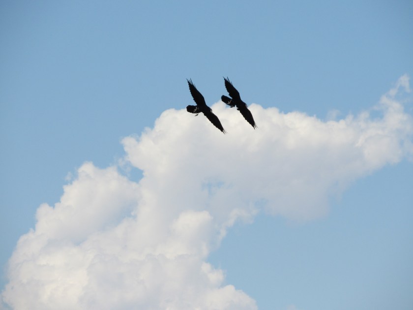
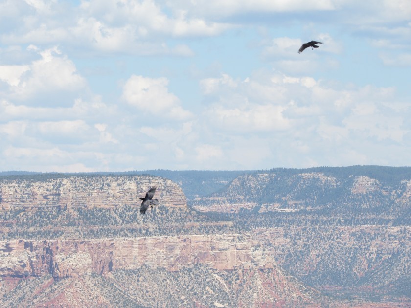
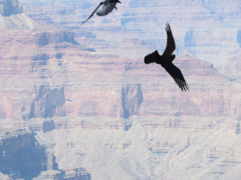
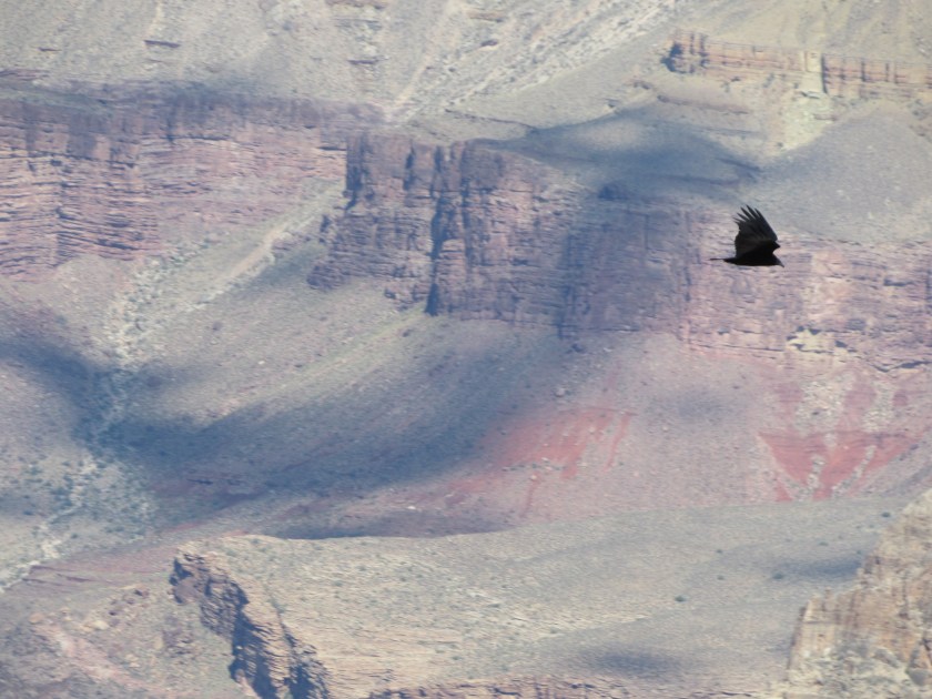
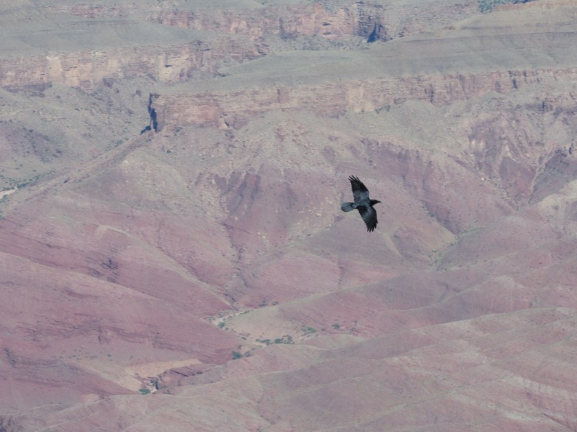
The ravens were the most prevalent and put on the best “show” as far as entertainment was concerned. Yes, then would often just cruise by at various altitudes but would also chase other types of birds, chase each other, come to an almost screeching halt in mid air, only to tuck in their wings and dive-bomb nearly straight down and perhaps the most fascinating thing was when they would twist and turn while flying at high speed, ending up upside-down and then change course downward. I simply stood and watched them for extended periods of time. Because of their often rapid flight and sudden course changes, it was almost impossible to zoom in for a decent picture. Even getting a good shot while they soared by beneath you with the canyon in the background was a seemingly impossible task.
All types of birds would be like gliders, riding the thermals of warm air radiating off the canyon floor and walls, changing altitude on a whim and cruising for extending periods without needing to flap their wings. Simply amazing to watch.
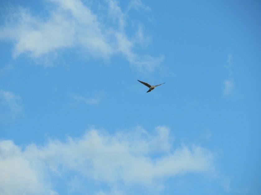
A seemingly simple picture, but one which eluded me. A raven cruising below observation point-level:

(Photo credit: judyrobinsondesigns.wordpress.com)
A raven who suddenly used his wings as a parachute to virtually stop forward motion in flight, and would then often tuck in his wings and drop nearly straight down.

(Photo credit: patokallio.com)
The ravens would sometimes fly by at my eye-level, only a few arms-lengths away while I was standing at the railing of one of the many overlooks. I never felt like they were getting uncomfortably close and certainly never witnessed any behavior where they seemed to be attacking any people. I think they have just gotten comfortable with people being around and know they zip by unscathed.
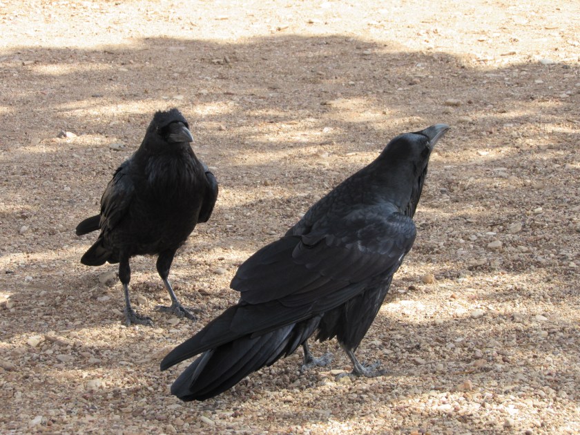
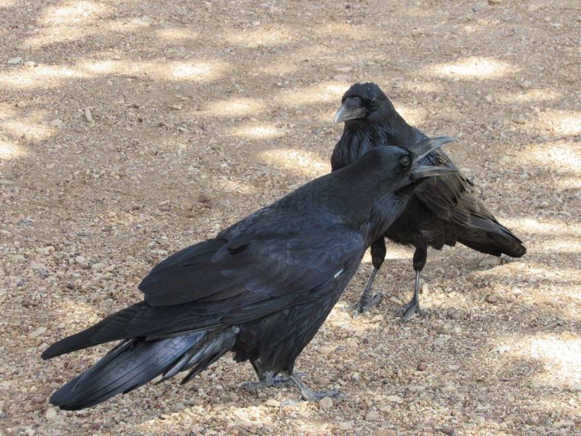
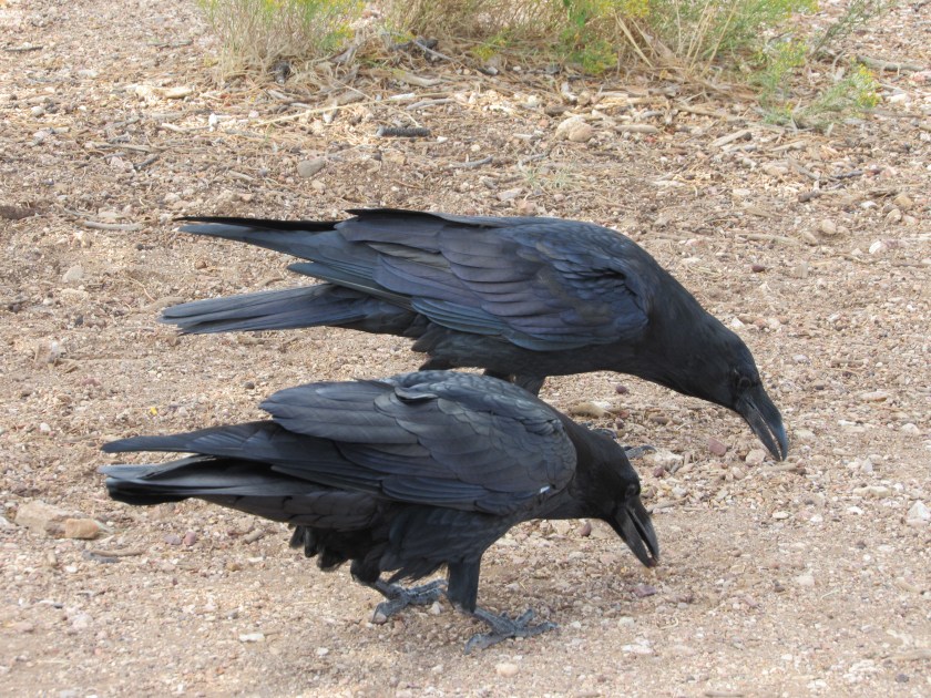
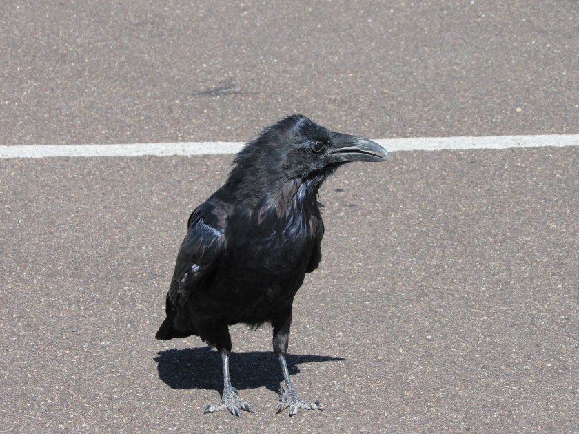
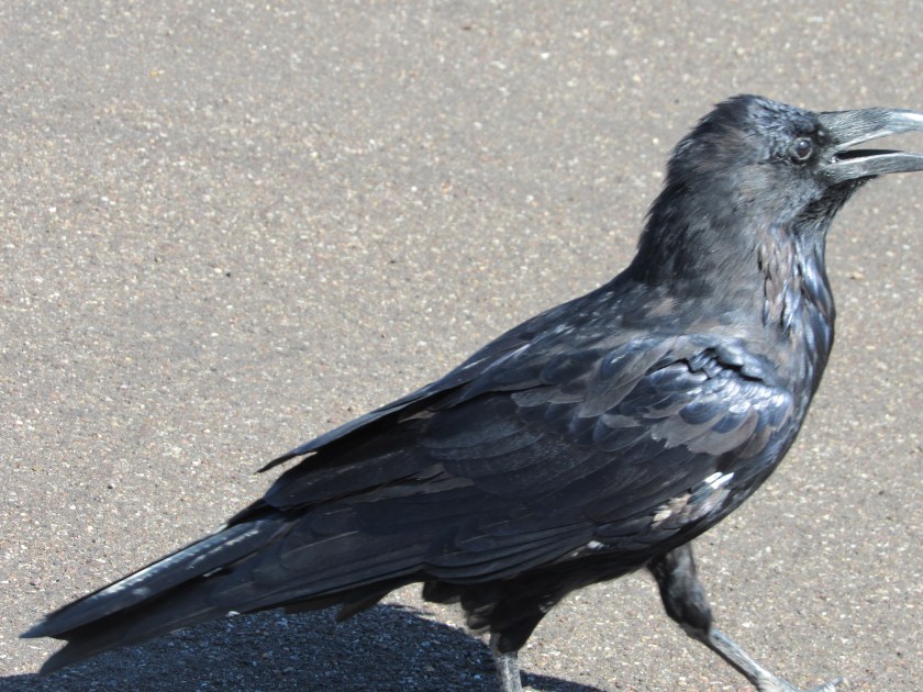
Ravens are beautiful birds. All black, but if you see them in the right light there are traces of blue and green which somehow reflect off their wings. They are larger than crows, but are of the same family. The main distinction other than their size is their larger beak, which also has a pronounced curve. I will post my photos separately. I posted one or two the other day of two ravens on the ground in one of the overlook areas.
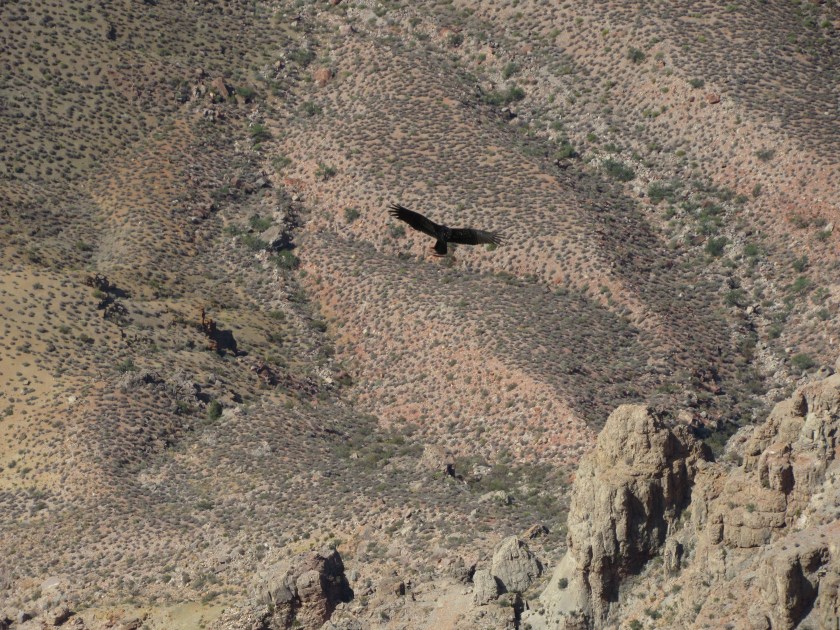
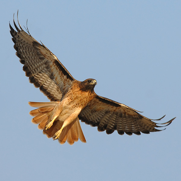
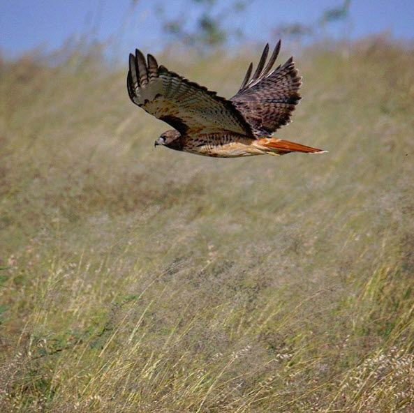
Next up, the red-tailed hawk. Stunningly beautiful in flight or even perched on the ground. The hawks would normally just cruise through the air, sometimes relatively slowly, but always twitching their heads while scanning the ground for their next tasty morsel. Even when lazily flying they often changed course unpredictably making it difficult to get a good closeup.

(Photo credit: bendbulletin.com)
(Photo credit: ndow.org) Nebraska Dept. of Wildlife
(Photo credit: i.pinimg.com)

(Photo credit: kids.nationalgeographic.com)
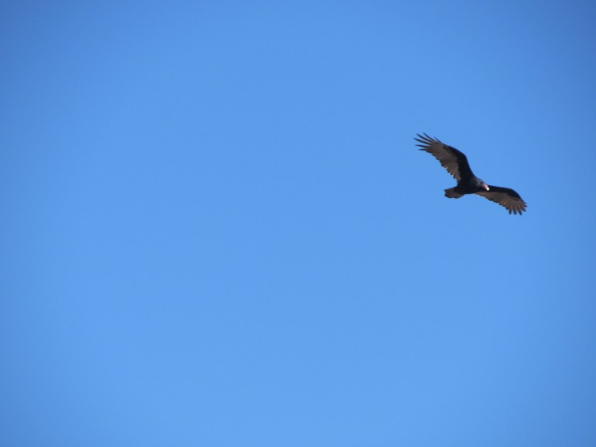
When locating photos of the two types of vultures I noticed they are strikingly similar in appearance while in flight. Condors are much larger, however. A common turkey vulture (in the east people often call them buzzards) has a wingspan of “only” about 5 feet. Condors, however, can have a wingspan of up to 9 1/2 feet and are the largest bird in North America.
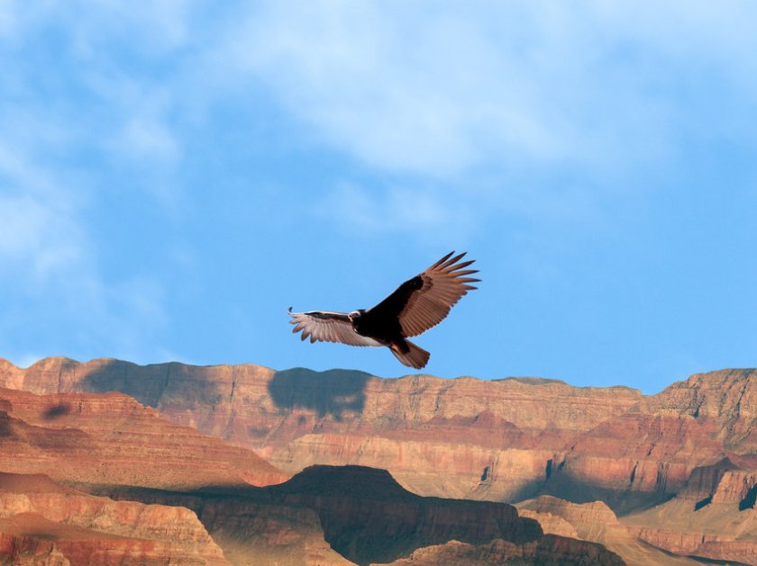
Condors almost became extinct back in the late 80’s. According to Wikipedia, their number dwindled to only 27 and the United States government launched an effort to capture the birds and keep them in captivity while breeding new batchs (condors can live up to 60 years). They slowly released more and more into the wild and in Dec 2016 their number was estimated to be almost 450. They are found mainly in California, Arizona and southern Utah. Some of the photos you will see online show tags on the leading edge of their wings to help identify them and track their movements.
Over the course of several days I saw lots of turkey vultures and did see a few which seemed unusually large, which I assume were condors.
While not very attractive when perched on the ground, vultures are graceful and beautiful in flight. They often fly too high to see the coloration on the underside of their wings.
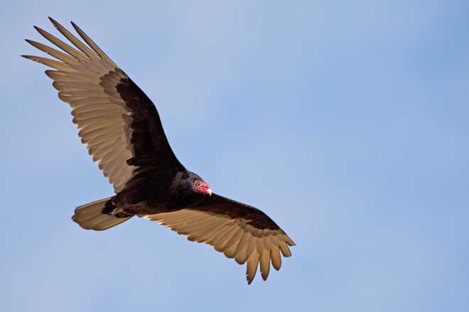
(Photo credit: pestkilled.com)
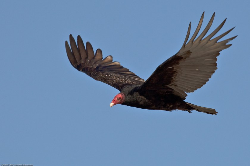
(Photo credit: Mike Baird)
California Condors:

(Photo credit: mediad.publicbroadcasting.net)
(Photo credit: media.npr.org)


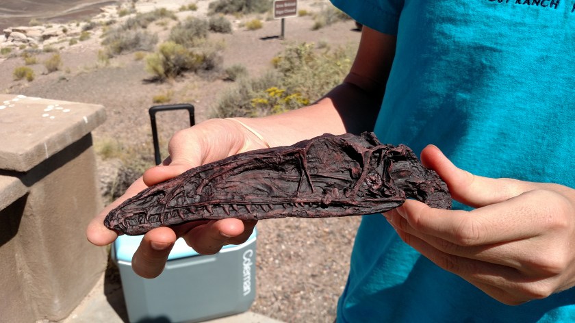

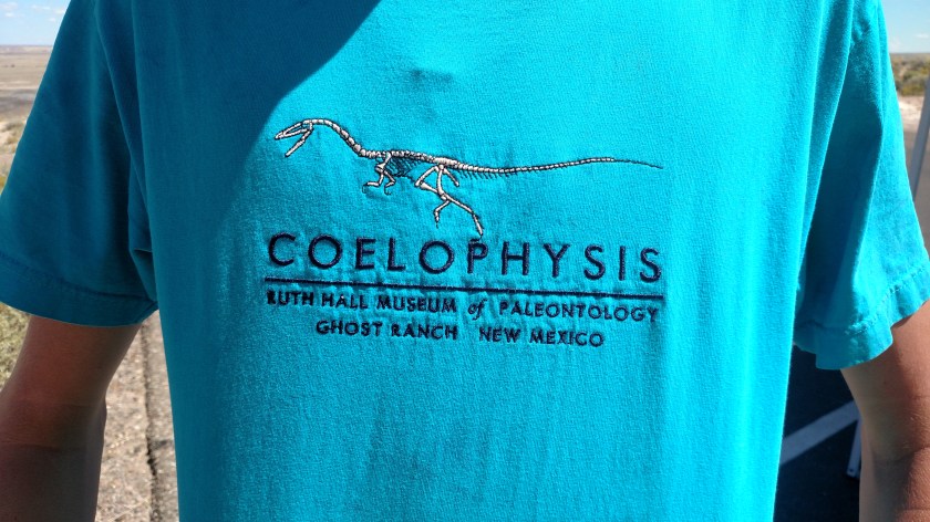
 His t-shirt even showed an image of the dinosaur skeleton, the type of which was the fossil he showed me.