I spent half the day doing laundry and getting the oil changed in my car (this isn’t all fun and games, folks, I still have some responsibilities… Ok, so not very many… But still…). During the afternoon I stayed close to Bend and made a big, lazy clockwise loop starting to the south.
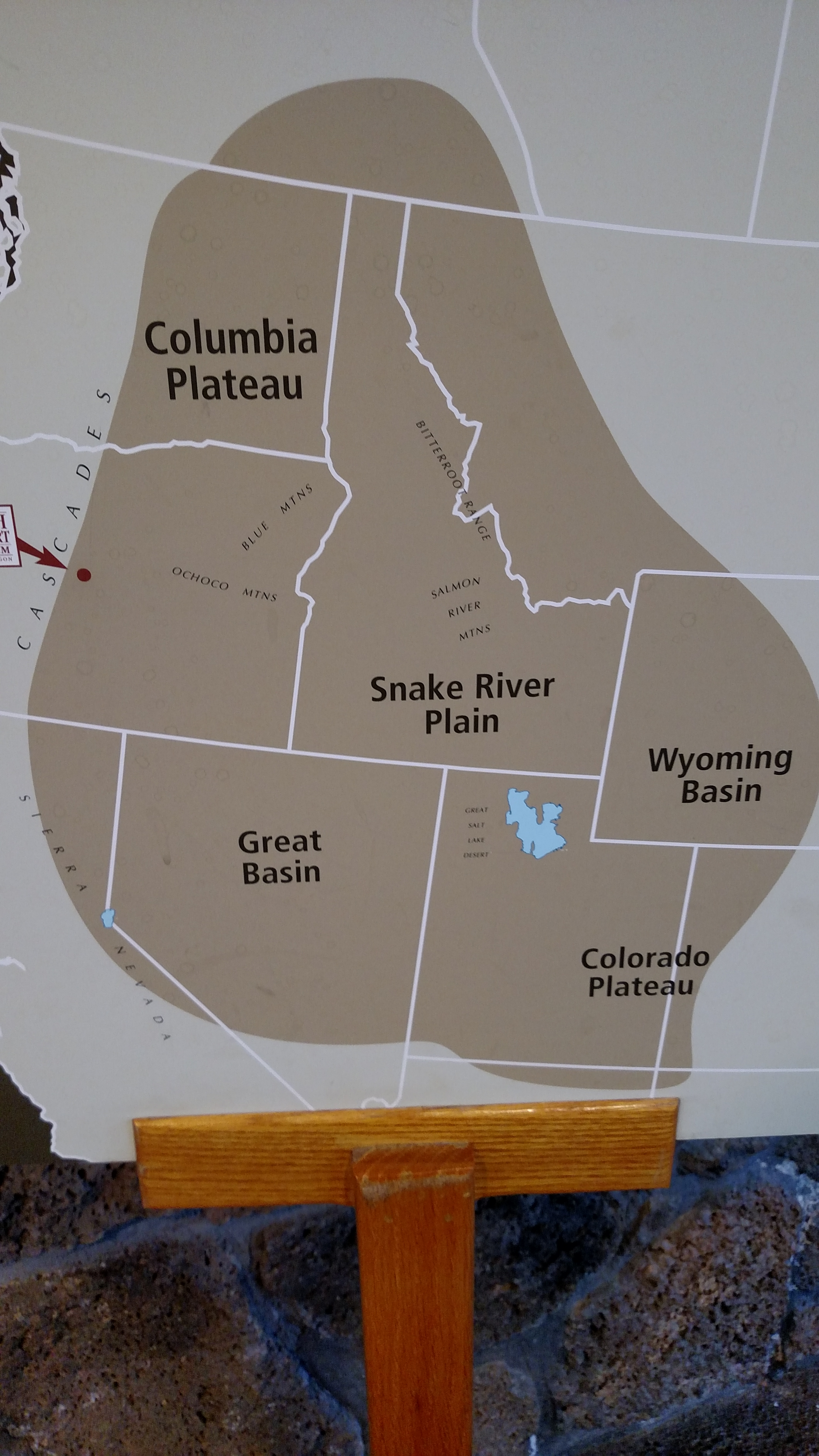
First stop, just off Route 97, was the High Desert Museum. This is a beautiful new museum built as a tribute to the High Desert, a huge area shown on the map you see above. Bend is at the western edge of this desert, as indicated by the red dot.
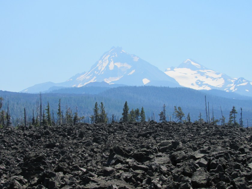
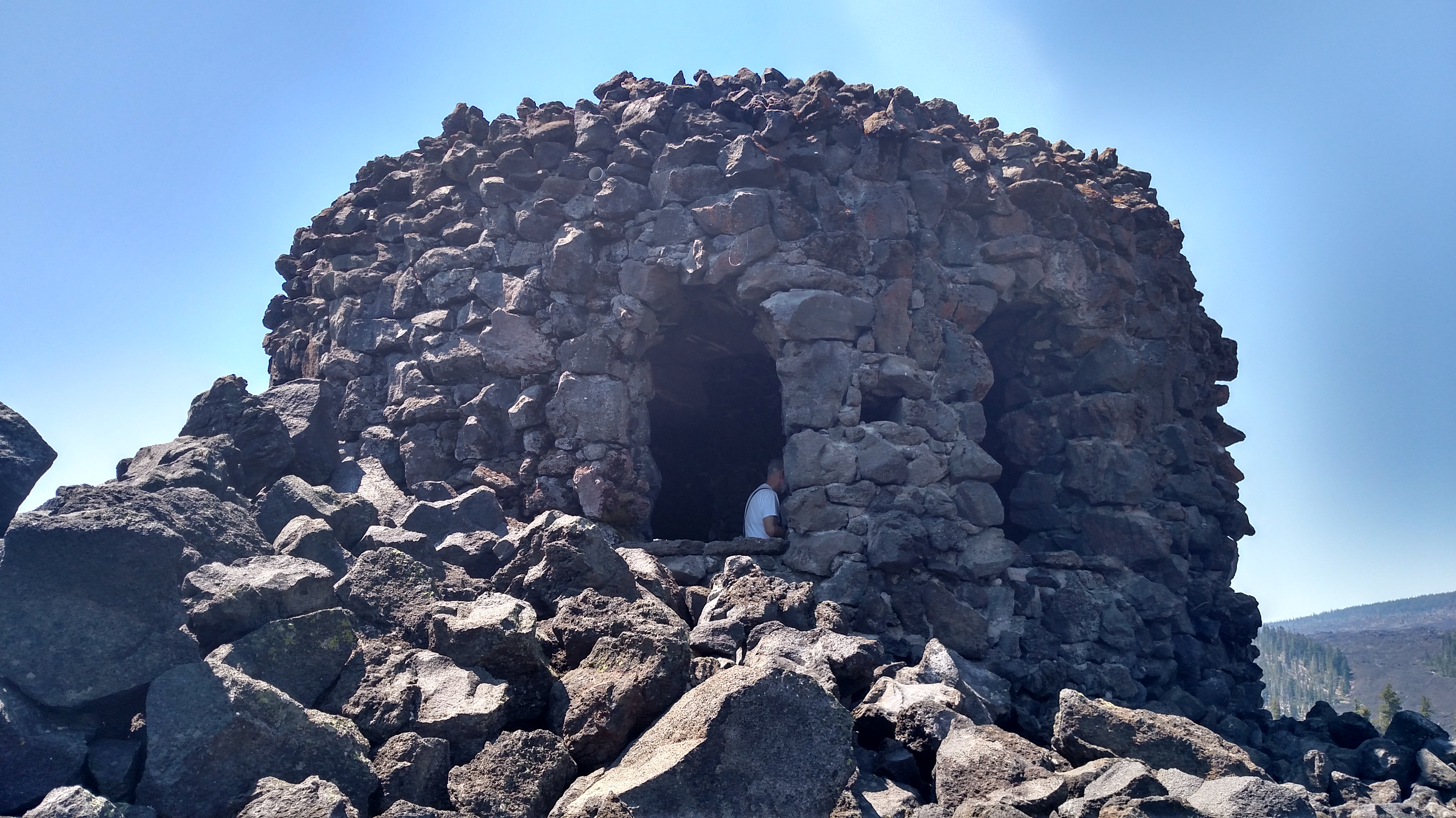
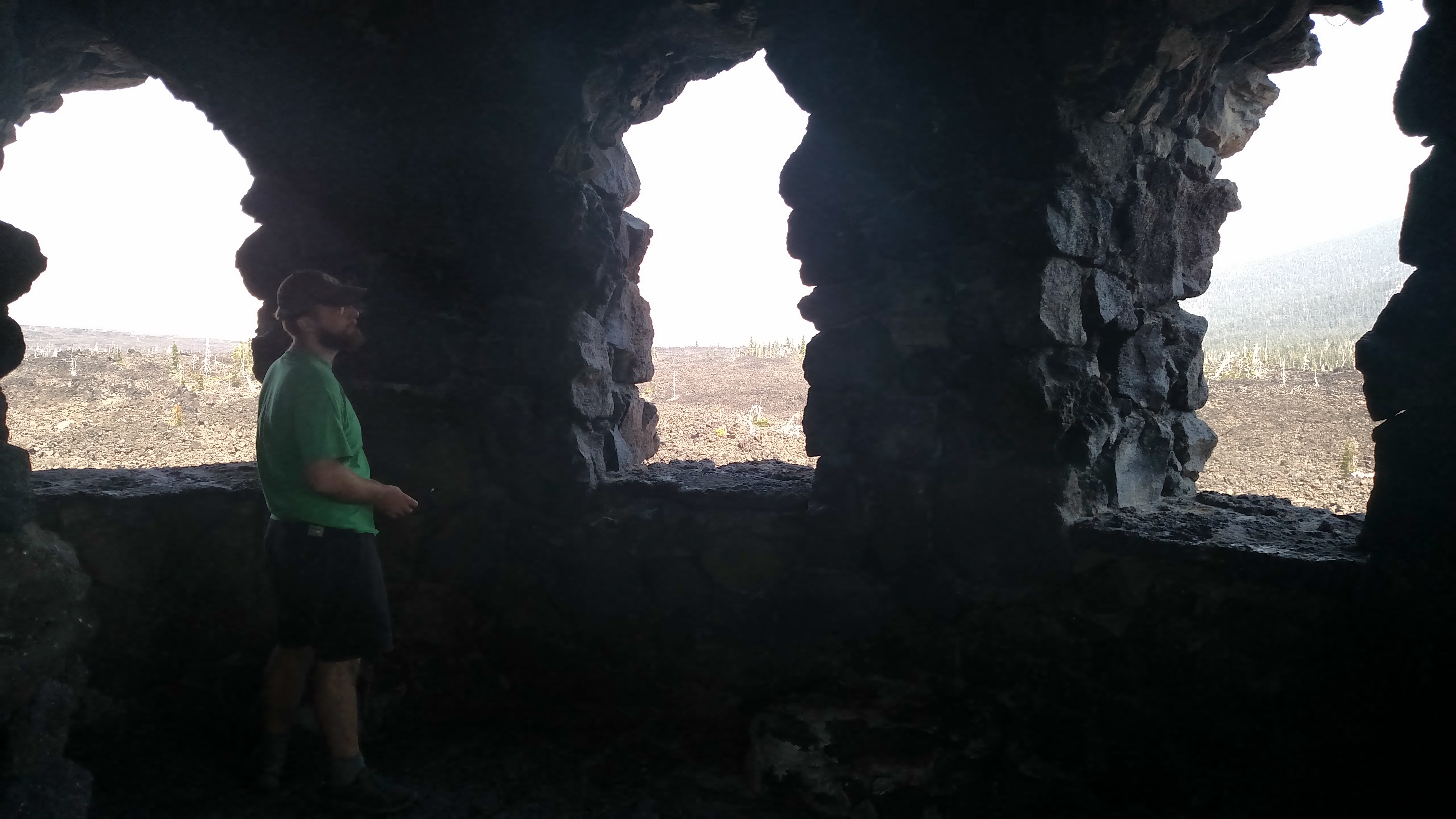
Next I went to two locations within the Newberry National Volcanic Monument, a huge area which straddles Route 97 on both sides. Trump would love it out here. Seems like everything is huge.
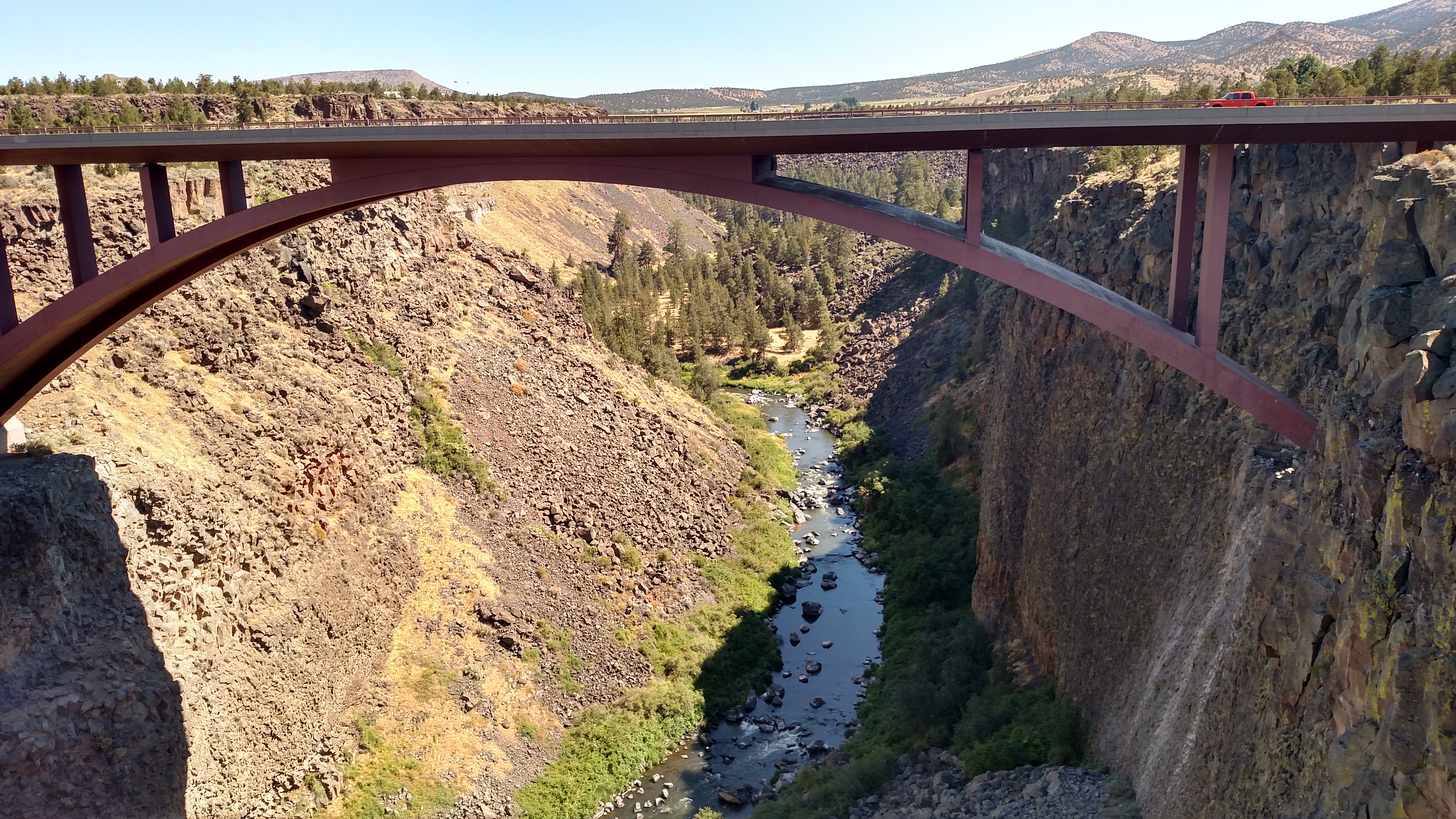
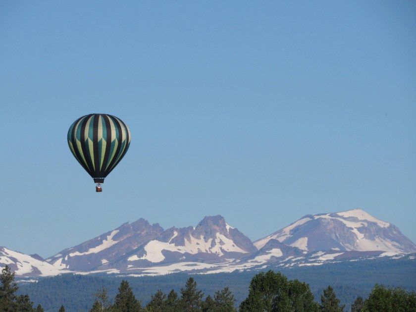
Finally, I drove the Cascade Lakes Scenic Byway west of Route 97 and worked my way back north to Bend. The Cascade Lakes is a big area made up of many relatively small lakes which separate the desert to the east from the big mountains to the west.
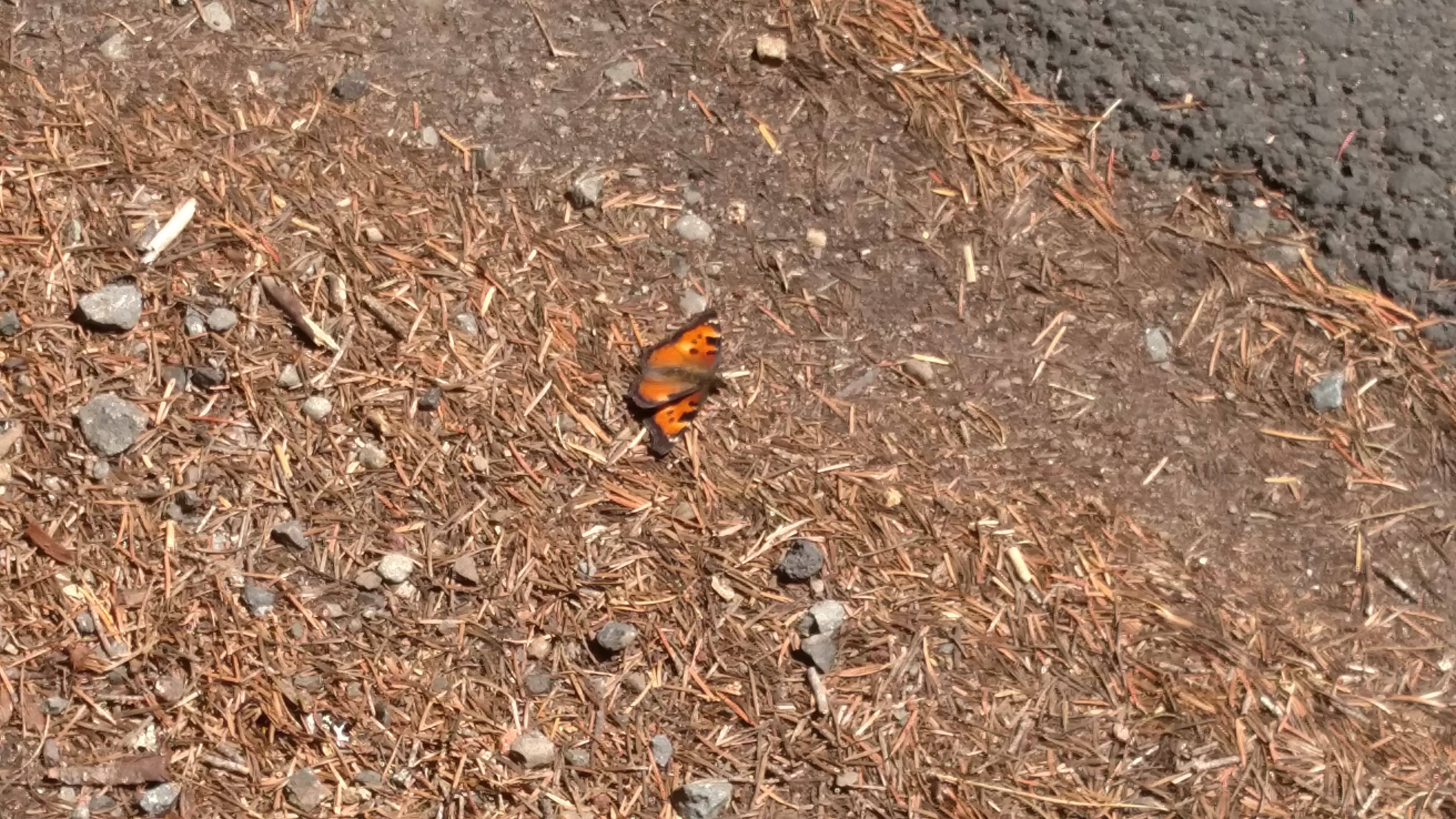
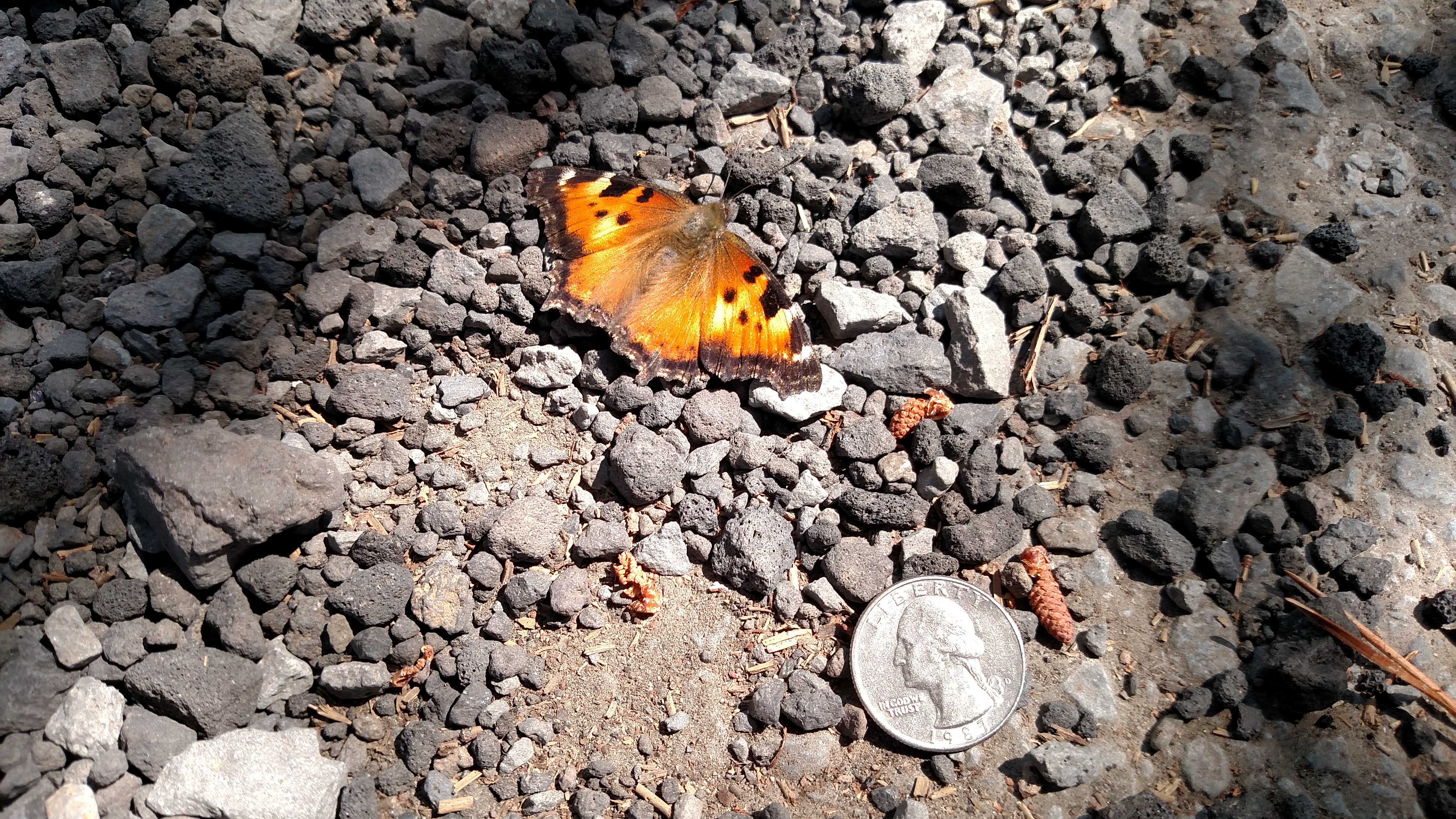
Photos from all of those areas appear in the posts above.