August 21 + 22, 2019
Here are some photos taken indoors at the cathedral.


August 21 + 22, 2019
Here are some photos taken indoors at the cathedral.


August 21 + 22, 2019
Right across the street from the huge spider sculpture on the art museum plaza is Ottawa’s Notre Dame Cathedral Basilica:


August 21, 2019
I have seen many examples of “theme art” in various cities I have visited in the past. The theme here in Ottawa is “tulips” and I saw many examples scattered around town.


August 21, 2019
Rain had moved through Ottawa overnight and I was concerned that it might still be raining when I got downtown but if that had been the case my plan was to make my first stop at this huge art gallery when it opened at 10am. As it turned out the rain was finished by the time I parked downtown and conditions improved steadily throughout the day so I never set foot inside the museum other than to mooch their free wifi in the air-conditioned lobby mid-afternoon.

Other than the striking glass construction the other impressive thing about the exterior of this facility in the huge spider sculpture in the plaza outside the entrance.


When I go back to eastern Canada next year I plan to budget days to go in to many of the museums, regardless of the weather. I usually reserve inside activities for bad weather days but have been fortunate in all the years I have traveled to have enjoyed good weather most days. I just can’t justify spending a nice day indoors when I am visiting a new destination.
August 21, 2019
Wednesday was my first of two full days in Ottawa. I was staying in a suburb several miles west of town and at the suggestion of my Airbnb hostess, drove in to the city early each morning and paid one fee to park in a multi-level garage all day. This put me right in the heart of the action and allowed me to walk to various venues with maximum flexibility. I covered a lot of the same territory both days and after reviewing my photos have decided to post pictures by topic, including the best photos from each day or time of day.

The parking garage I mentioned was just up the street from a popular Farmer’s Market and I spent an hour the first morning an and around that market. Vendors were cleaning and preparing their shops and display tents for the day and it wasn’t as crowded with customers as it would become in just a few hours.


This market was one of the stops made by US President Barack Obama when he visited Ottawa back in 2009. They even made special cookies for him.


The first photo of this restaurant was taken early in the morning, before it opened. The photo below was taken in the afternoon when the umbrellas were open to shield patrons from the sun and the street was busier with pedestrians.

August 20, 2019
After my moose encounter I continued on to Mont Tremblant, a small ski village in the foothills of the Laurentian Mountains. Shortly after I resumed driving I could see the mountain off in the distance to the right of the road I was on.


I made my way out to a main highway and drove a short ways north before exiting towards the village. I stopped at a Visitor Center near the highway for a local map. My visit there was short-lived as the village had hosted the Ironman competition a few days earlier and the town was still packed, there were no parking spaces and there were long lines of people waiting for shuttle buses to schlep them around. I had no idea where I was or where I wanted to be so I decided to just skip it and come back again next year.
I did drive around a bit but never got out of my car other than to take a few photos.


This was the closest I got to the village itself:

I drove back out to the highway and started making my way south towards Ottawa, where I would be spending the next three nights. As I drove south on Highway 323 I saw this large SnowCat blocking one of the entrances to a restaurant/golf course parking lot:


I continued to follow the guidance offered by GPS 4.0 and soon boarded a ferry for a quick trip across the river to Ontario province.

August 20, 2019

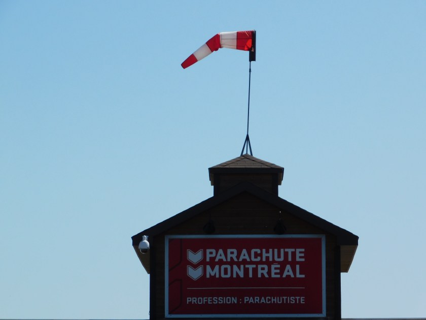
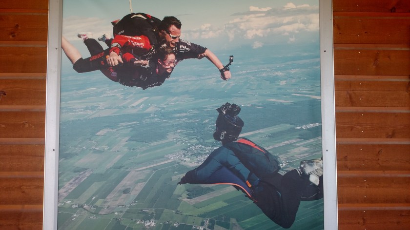
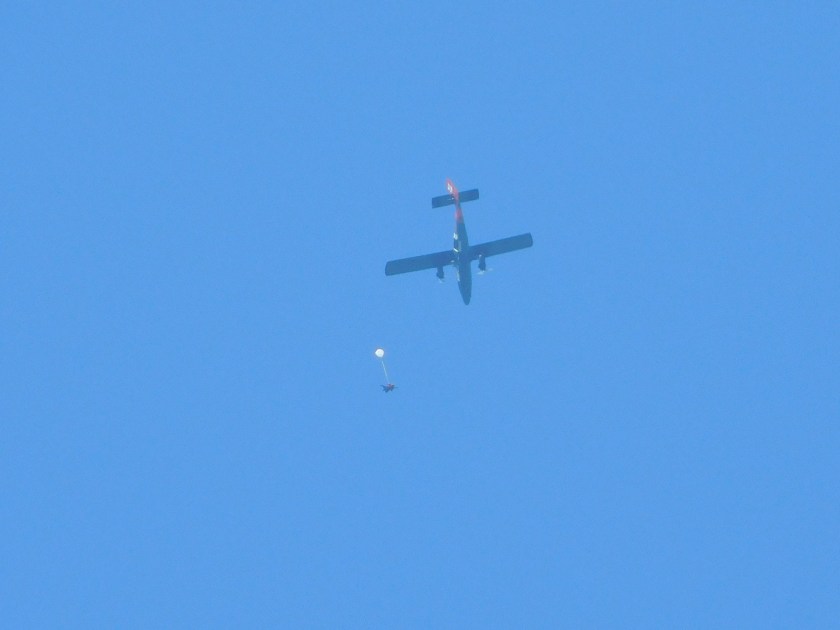
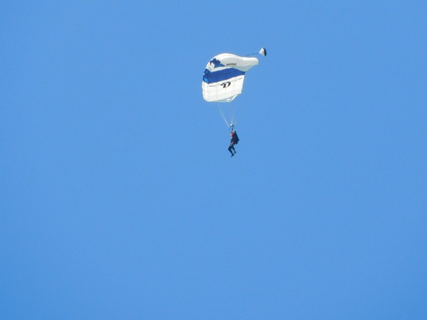
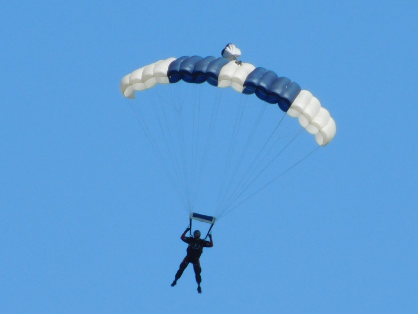
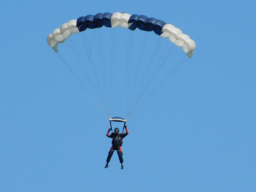
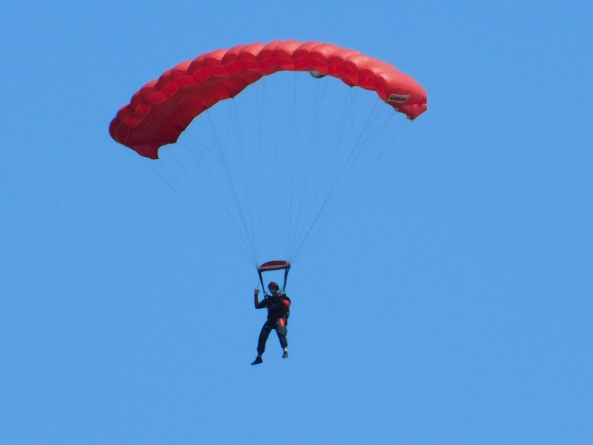
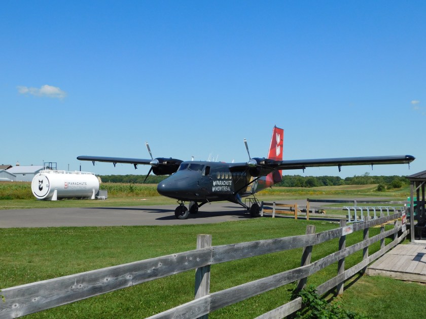
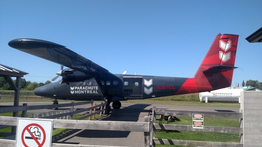
After my impromptu skydiving adventure (well, as a witness anyway) I continued North on Route 125 and stopped for lunch in the little town of Saint-Donat-de-Montcalm. I then continued on to one of three entrances to Parc National du Mont Tremblant, my primary mid-day destination.
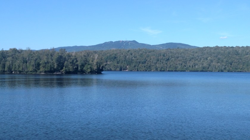
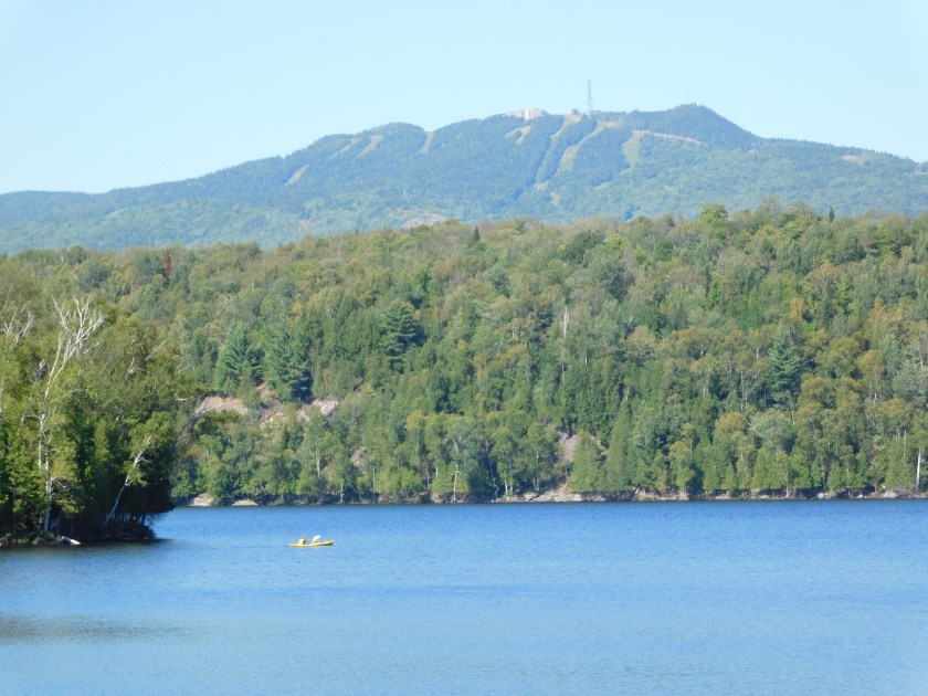
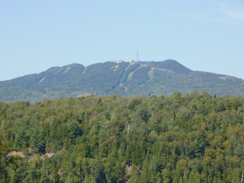
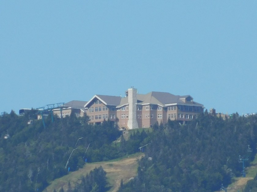
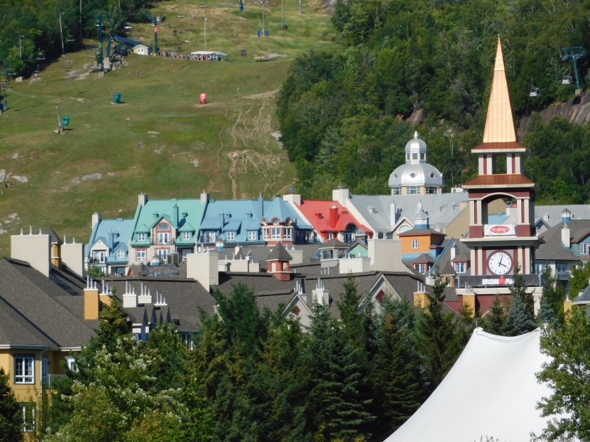
Having done some additional research online I already knew that this was another National Park that really wasn’t a National Park. My strategy was to use my original true story at the entrance and when they told me my Canadian National Park Pass was worthless because, despite the name, this was actually a Provincial Park I would start crying, hoping to win the sympathy of the gatekeeper (“Now, now Monsieur JohnBoy – you’ve come a very long way and you have zee travel blog so you don’t need to pay our daily entrance fee…”). That was all rendered moot when I went to the Visitor Center (located outside the gate) and examined a map of the Park. Yes, there were some intriguing lakes which I’m sure are very nice but all required not only considerably more driving but also a good bit of hiking. It was already early afternoon and I still had lots of ground to cover before getting down to Ottawa so I decided to skip the park and drive to the town of Mont Tremblant instead.
I drove back into the town where I had lunch and turned west on Route 329, a nice two lane road which had practically no traffic and which took me through some gorgeous woodland. That is where it happened.
At roughly 220 in the afternoon I saw my first moose in the wild (in Canada). I admit that since I had been driving through many areas with a reputation for having moose that I was beginning to scoff at the warning signs, especially at 2 in the afternoon. Well, as I went around a gradual turn I saw someone riding a horse in the middle of the road towards me, followed rather closely by a car. The animal was almost black, hence the reason I thought it was a horse. About the time I was done thinking “I wonder why they are riding so close to the yellow line and not over by the shoulder of the road” I realized that it was not only a moose, but a rather large bull moose.
I had already disengaged the cruise control and turned on my four-way flashers to indicate that I had seen the “horse” and now realizing the potential I had come to a full stop. I reached for my smartphone which was in my pants pocket and started to “wake it up” and turn the camera on. I started yelling “Don’t you hit my car… don’t come over here and hit my car…”.
As is always the case when you are in a hurry, it seemingly took forever. By this point the moose had stopped in the road, realized it was surrounded and calmly turned to it’s left, stepped over the guardrail and walked down the steep embankment on my side of the road.
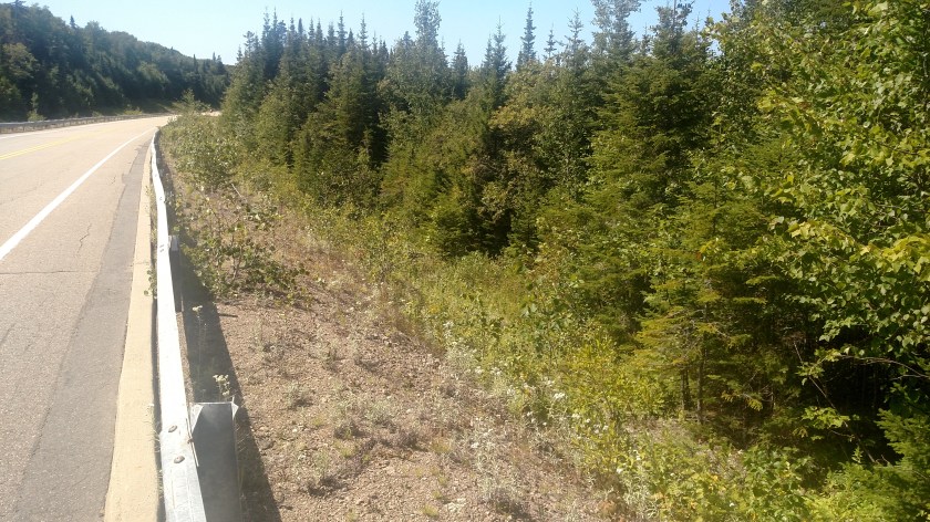
I got out of my car, hoping to get another picture of it down in the brush but by the time I got to where it had gone I could hear it crunching the underbrush in the woods I realized it was gone. I went back to my car and decided to look at my photo to see how much of it I had captured. I uttered a few choice words when this is what I discovered:
At 2:20:04 PM

And an astounding 16 seconds later at 2:20:20

I can’t explain the large time gap other than to say that sometimes my smartphone camera can fire off shots like a machine gun (when I don’t want it to) and sometimes it seems to “freeze up” when taking seemingly innocent shots. Given my impatience in this particular situation I presume I tried to start taking pictures before it was fully ready and the shutter remained open longer than necessary – perhaps getting a shot of the sun.
I started to drive away but then went back and took photos of where this had taken place, just for the record (at 2:25:46 and 2:25:56 respectively):


When I got close to Mont Tremblant I stopped and sent text messages to two friends. I told them both – Good News & Bad News – I saw a moose in the wild but I have no proof. One of them wrote back – No Proof, No Believe and sent an amusing meme from the TV show Supernatural with one of the characters from that show asking “Where’s your moose?”.
August 20, 2019

After stopping in Saint-Jacques to see the church I decided to make a slight alteration to my route. I wasn’t making very good time on Route 158 and decided to make a right turn on Route 125 and start driving northwest towards Parc National du Mont Tremblant.
Shortly after getting on Route 125 I noticed a low-flying aircraft. I turned around to go back and see it if had landed in a nearby field and this is what I found. Welcome to Parachute Montréal!

These are photos which were on the outside of the building:


I went inside to ask if I could walk around the outside of the facility. I was told that so long as I followed the directions on signs stating where I could NOT go, that was fine. It turns out that I didn’t have to go very far away from the building. Once I was back outside I saw a few people looking up and realized that the airplane I had seen was taking off, not landing and the action was just about to begin.
I sat on the steps of the outside deck, leaned back and spent the next few minutes looking up and snapping photos:


About a dozen parachutes appeared in the sky – some carrying single parachutists and some carrying tandem groups of experienced parachutists with people “along for the ride”.


After everyone was safely on the ground and accounted for the plane which had carried them aloft landed and taxied to a point near where I had parked:


This would be the first of two surprises I would experience today, both the result of last minutes changes in direction of travel.
August 20, 2019
Tuesday would be my last day in Québec province and after leaving Trois-Rivières I decided to take a series of small scenic roads towards my original mid-day destination.

As I approached the little town of Saint-Jacques I noticed a massive church off in the distance to my left reflecting the bright morning sun off it’s roof. I decided to stop in town to check it out.


The photo above is what I had seen from a distance. It is actually the BACK of the church.


August 20, 2019
One of the reasons I planned an overnight stop in Trois Rivières, Québec was that it is part way between Québec City and Ottawa, Ontario, my next multi-day stop. The MAIN reason I planned an overnight stop there was so I’d have time to check out the race track.
For those of you who don’t know, I am a race fan – primarily NASCAR stock cars, though I enjoy other forms of racing as well. For many years I have known that many major series (other than the NASCAR series I enjoy), at one time or another, have held, or continue to hold, races at “Three Rivers”. Let’s talk about that name first….
My grasp of the French language isn’t very firm but even I know that Trois Rivières means Three Rivers. Unlike Pittsburgh PA’s Three Rivers Stadium, which in named for the confluence of three rivers in that town, Three Rivers in Quèbec is named for only one – the Saint-Maurice River which has three “mouths” where it meets the St. Lawrence River:

(Photo credit: cruisemapper.com)
The main downtown part of the city (where I ate dinner, anyway) is left of the river as seen in the photo above. The two bridges in the upper left corner of the photo above carry Highway 40 just north of town and the racetrack is located on the opposite side of Highway 40 from town.
Now let’s talk about the race track. Three Rivers, as far as auto racing is concerned, is what’s known as a street course. Unlike a formal race track, like Indy or Charlotte, which are known as “closed courses” and are used exclusively for racing, a street course is a temporary track which is run largely on normal city streets which are, obviously, closed to the public for the duration of the event. Temporary concrete barriers and chain-link fencing is installed at various points around the track to help confine the vehicles and protect the viewing public. Once the event is completed those barriers are taken away and the streets are once again used by the public.
Here is a map showing the current configuration of the Three Rivers Circuit:

(Photo credit: gp3r.com)
I say “current configuration” because I have seen other maps showing a different, slightly longer race surface. In the map above, the orange band represents where the cars race. In the bottom portion of the photo you see a gray oval. That is a permanent HORSE race track known as the Hippodrome (a Greek and/or Roman term for venue).


In researching this post I saw track configurations which included the car track encroaching on major parts of the Hippodrome, across the horse oval (which is NOT paved) as well as through the “infield,” and I am quite surprised to learn that ever was the case!
Well, I’m interested in CAR racing and given that the races were held several weeks before I was there I was now able to walk and drive on many of the areas where the cars raced. These photos are in the order they were taken which, as it turns out, is almost the exact OPPOSITE of how the cars raced. The cars travel counter-clockwise. I parked in the Paddock to the left of the horse oval in the track configuration photo.


The Stop sign in the photo above is moot. First, the cars would be going through this turn in the opposite direction. Second, it is likely covered or removed during the event. By the way, the white and blue car you can see below the Stop sign is a police car, not a race car. The brick building on the right side of the second photo of this sequence is a local police substation.


The photos above were taken near the end of a normal “lap,” on the left side of the track map. The following photos were taken near the beginning of a lap, on the right side of the track map.
Unlike a “regular” race track, cars make two 90-degree turns shortly after getting the green flag, right then left, and descend a slight hill towards this stone gate, then make a hard left turn (Turn 3)…

… and continue away from the camera up this narrow city street and on to other parts of the course (Turns 4-11):

As they descended down the straightaway towards the 3rd turn they passed the racetrack “office” on top of the hill to the right as seen below:


GP3R is the abbreviation for Grand Prix de Trois-Rivières, what the marquee event held at the track is called.