Here are a bunch of photos taken with my smartphone camera when I was at Goblin Valley State Park near Green River, Utah back on May 28.


Here are a bunch of photos taken with my smartphone camera when I was at Goblin Valley State Park near Green River, Utah back on May 28.
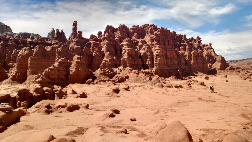
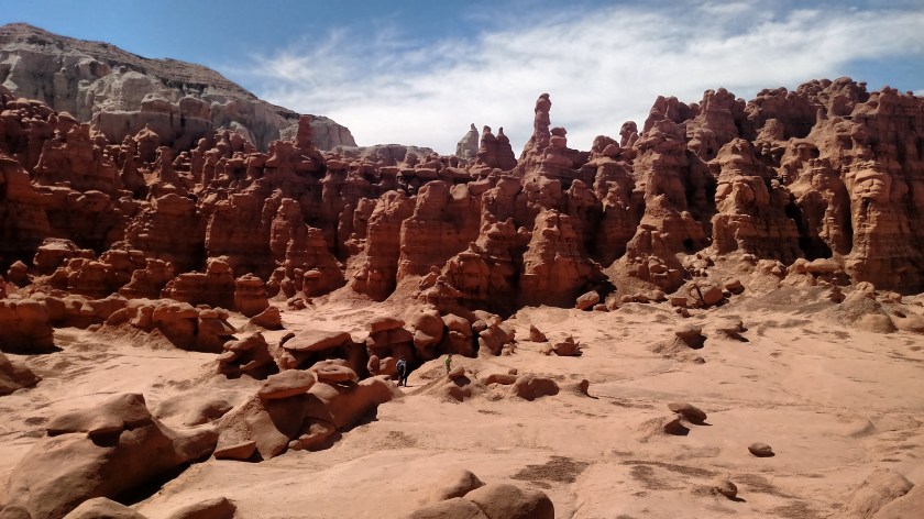
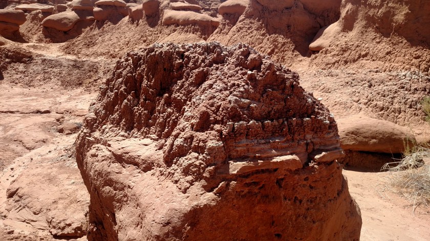
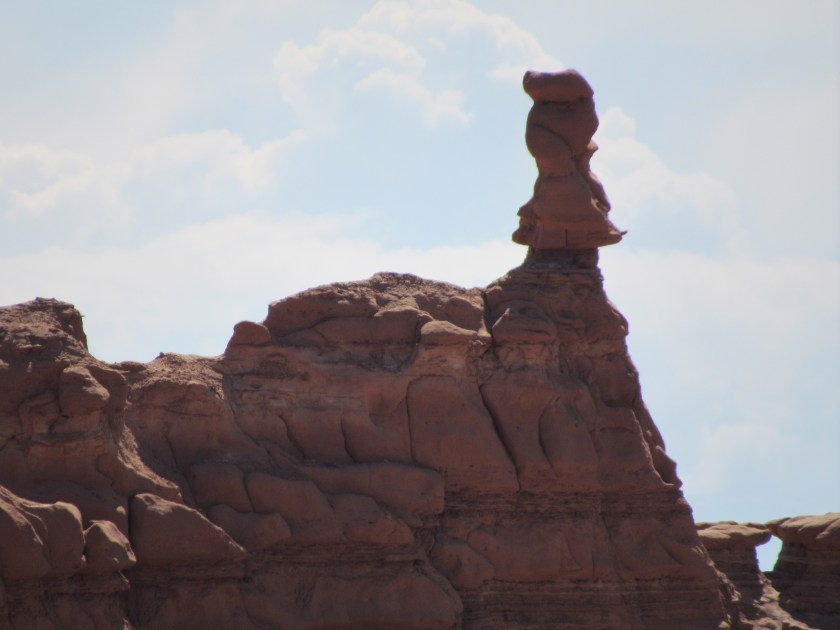
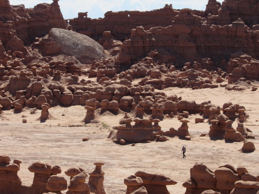
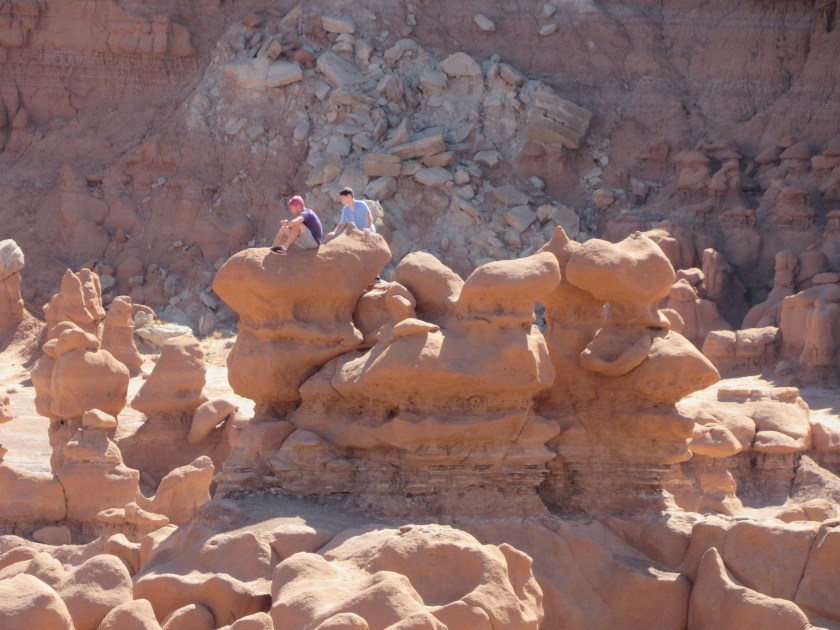
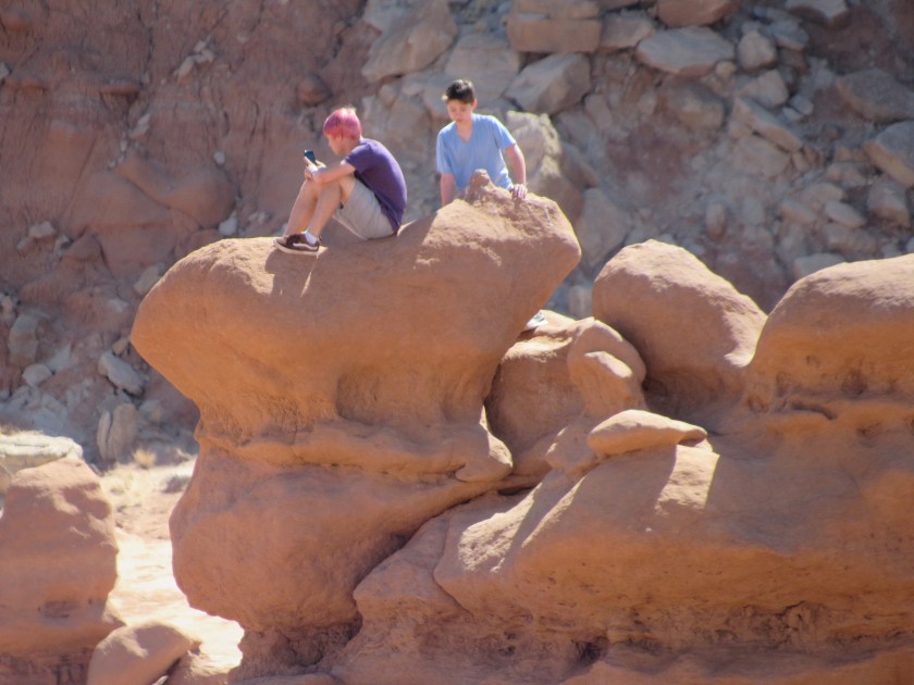
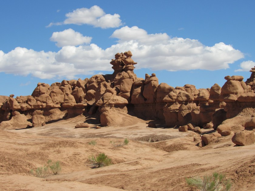
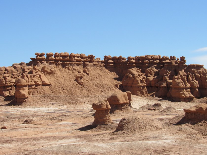
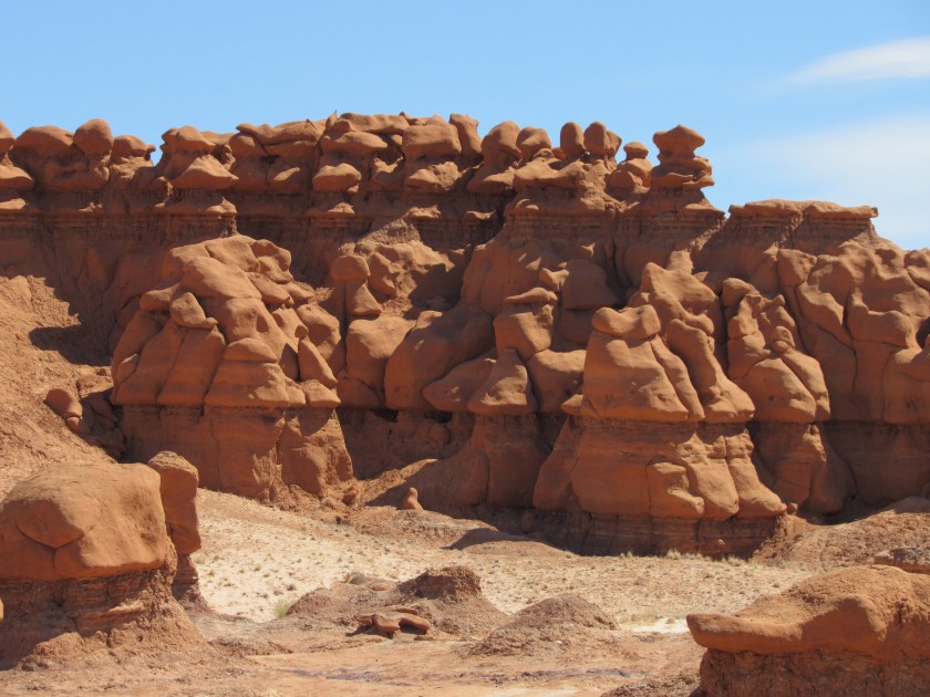
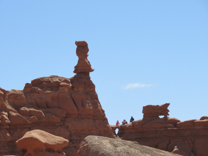
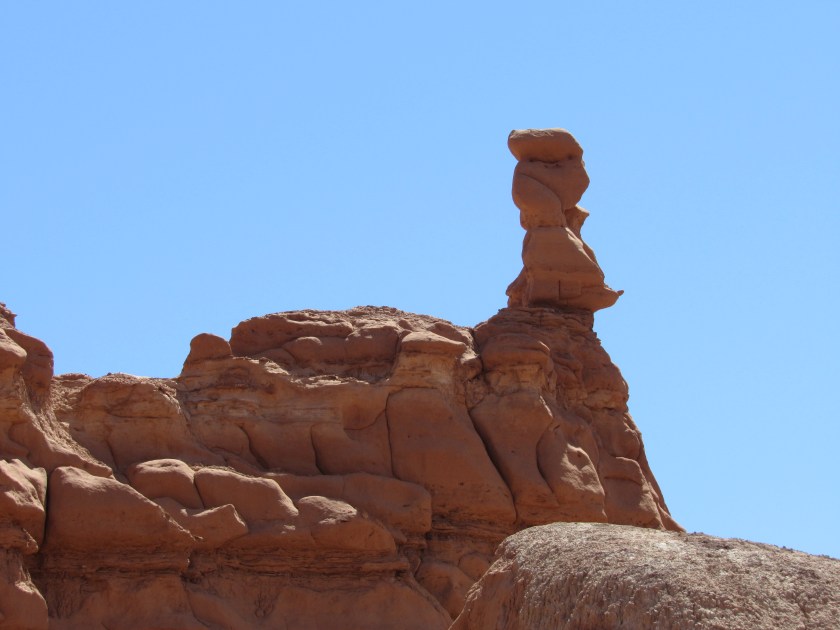
Here are lots more photos taken with the digital camera when I was at Goblin Valley State Park near Green River, Utah back on May 28. I posted some other photos a few days after I was there (put Goblin in the search box on the Home page to find that post).


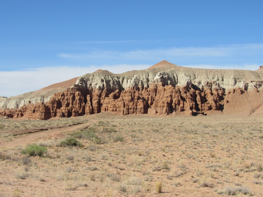
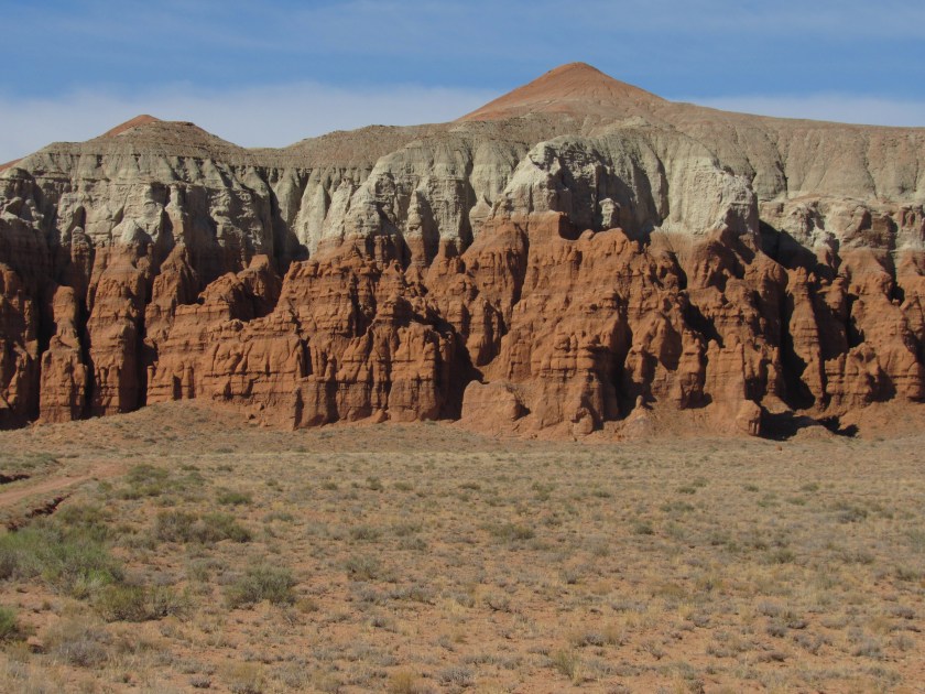


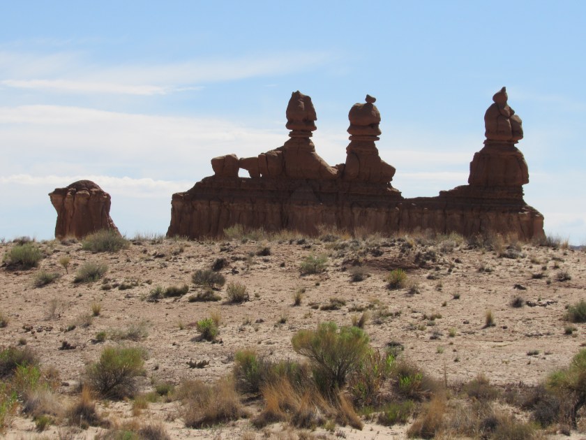
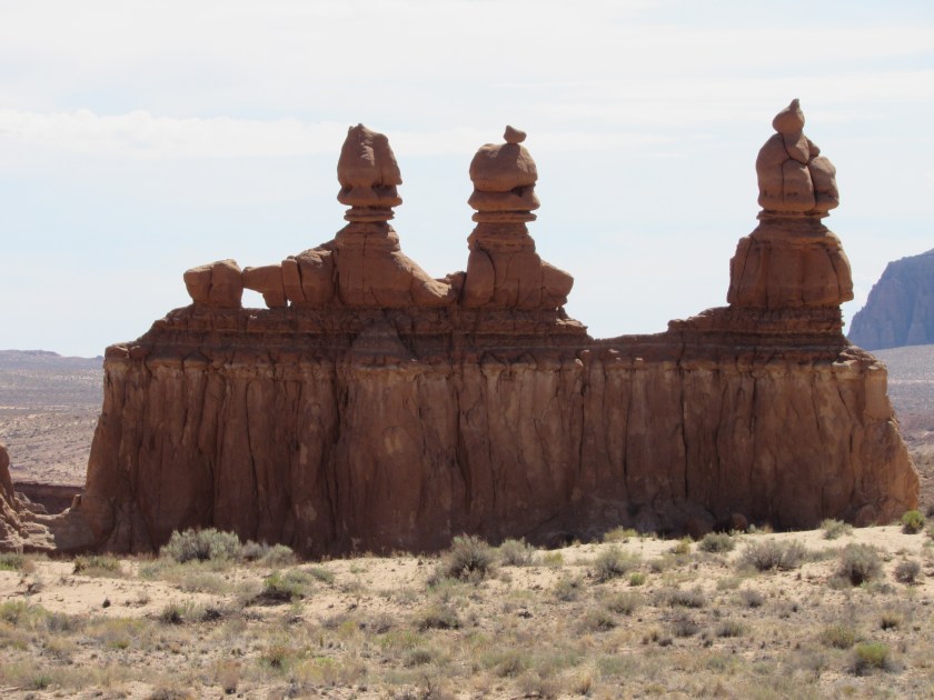


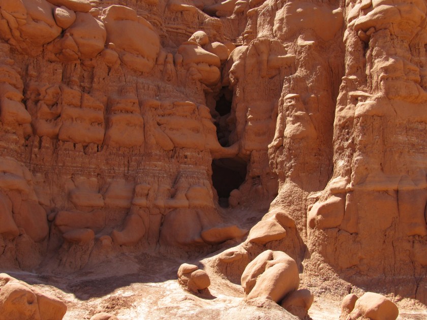
Here are lots more photos taken with the digital camera when I was at Goblin Valley State Park near Green River, Utah back on May 28. I posted some other photos a few days after I was there (put Goblin in the search box on the Home page to find that post).
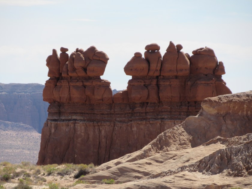
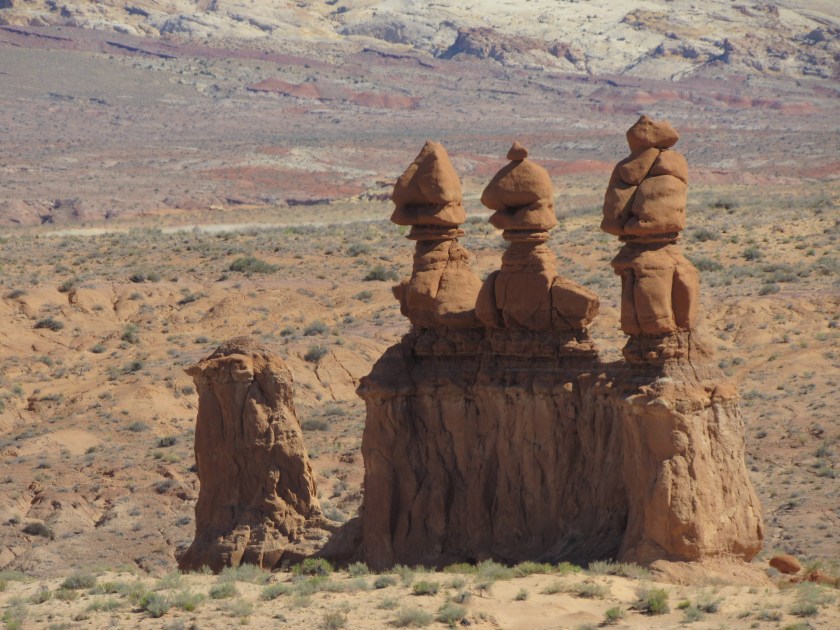
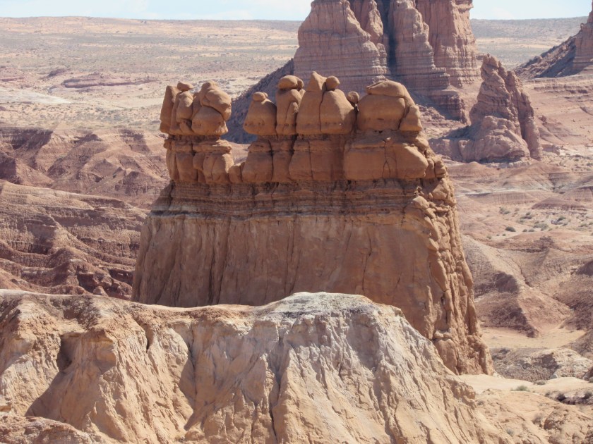
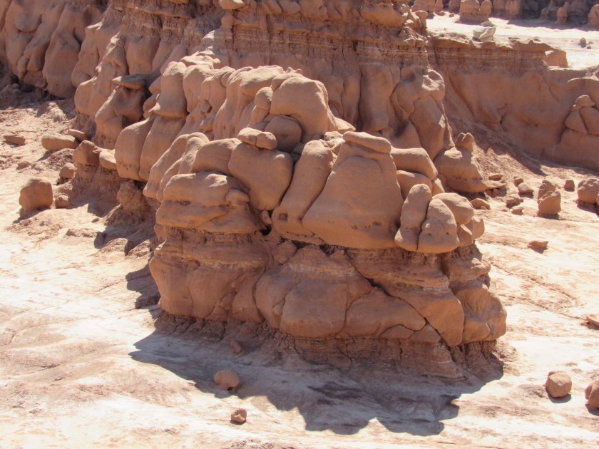


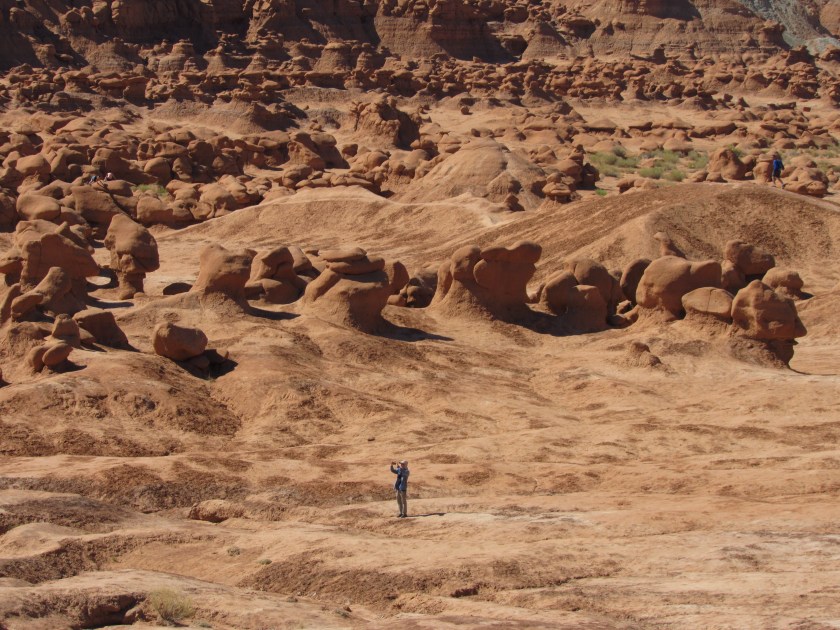


Here are lots more photos taken with the digital camera when I was at Goblin Valley State Park near Green River, Utah back on May 28. I posted some other photos a few days after I was there (put Goblin in the search box on the Home page to find that post).
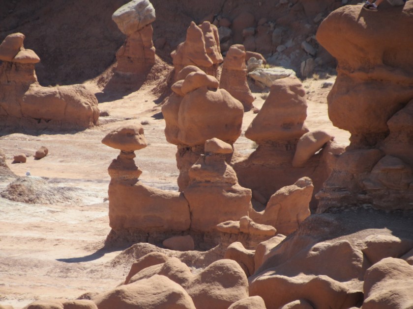
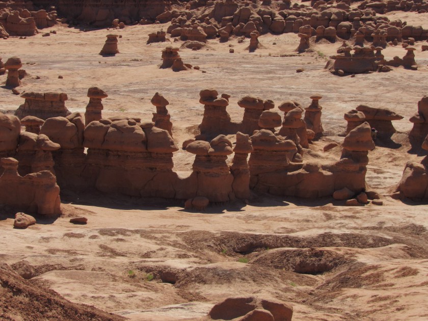
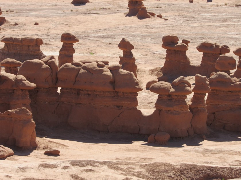
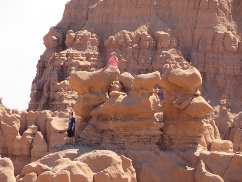
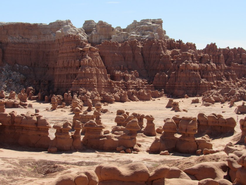
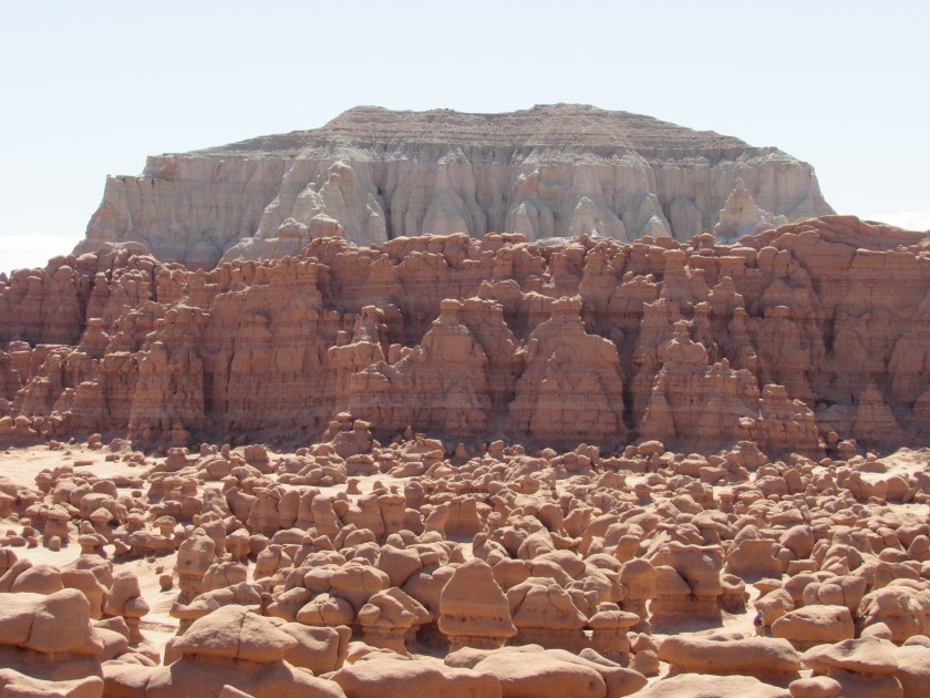
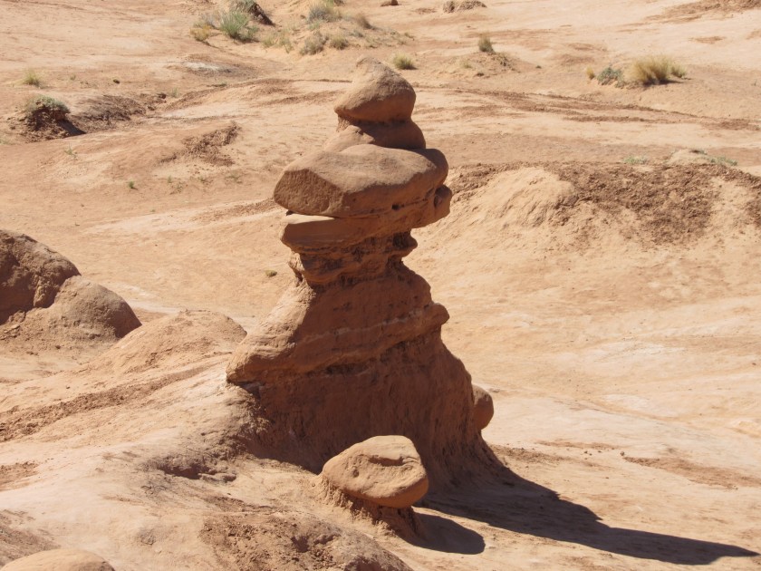
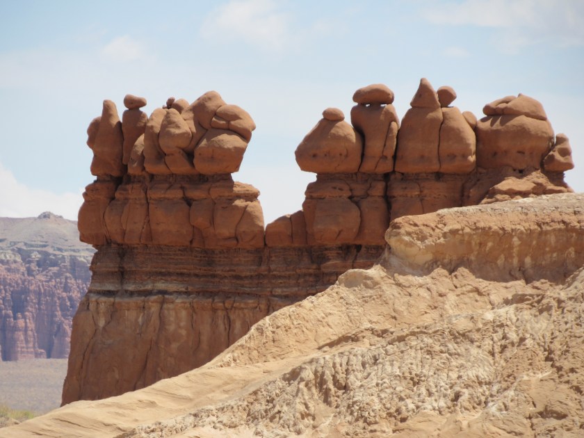
Here are lots more photos taken with the digital camera when I was at Goblin Valley State Park near Green River, Utah back on May 28. I posted some other photos a few days after I was there (put Goblin in the search box on the Home page to find that post).


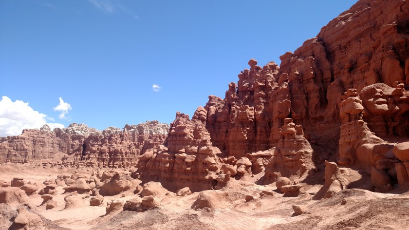
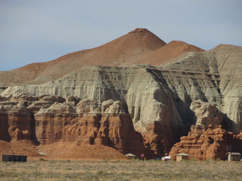
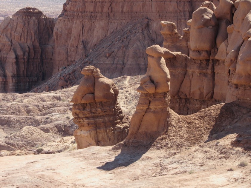
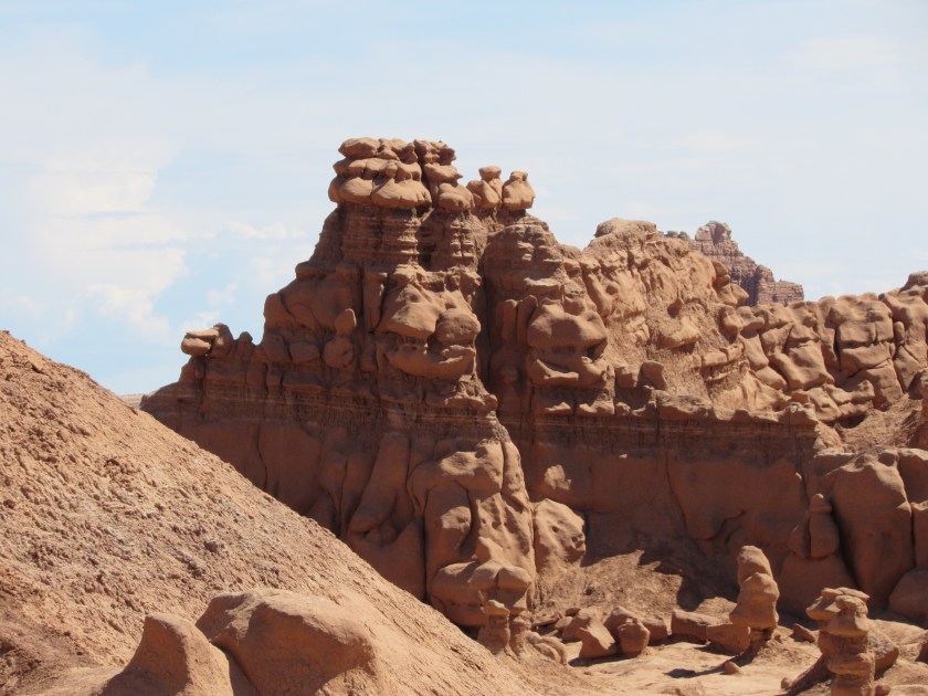
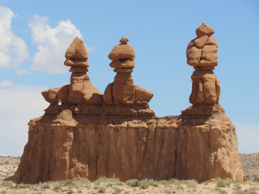
By the time I was ready to leave the Park to get back to Grand Junction the sun had moved enough that these two formations near the entrance were getting more sunlight on the side facing me (the sun was behind them when I arrived at the Park earlier in the morning).
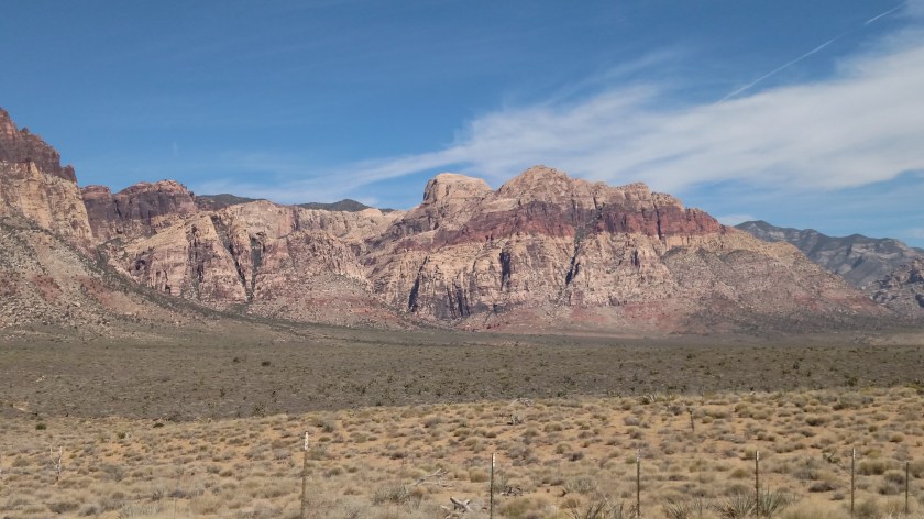
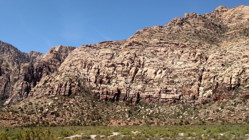
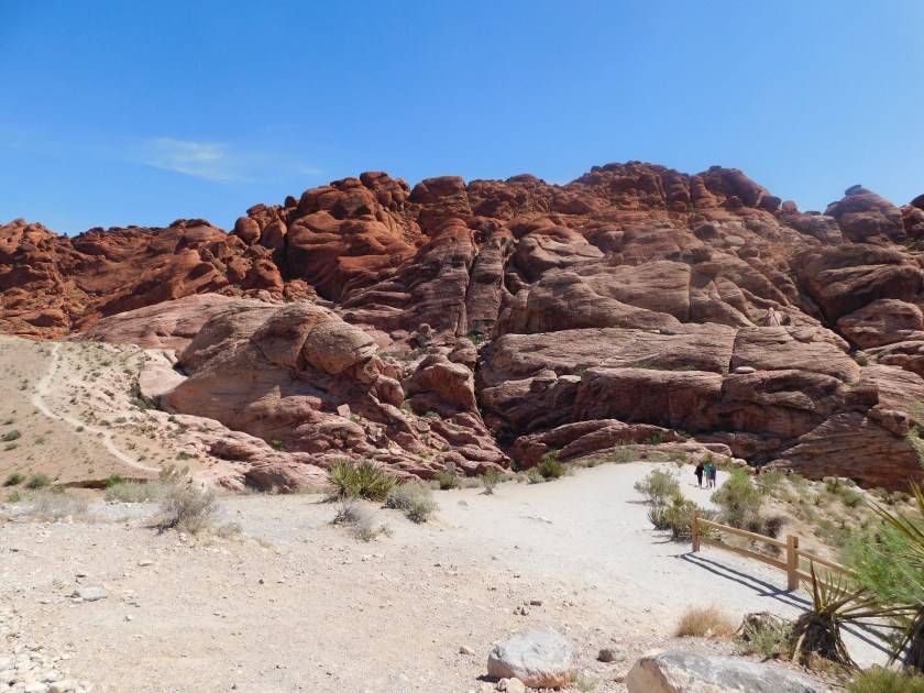
This morning I decided to go back down to Red Rock Canyon, about an hour southeast of Pahrump, to take photos with the morning sun at my back. I posted some pictures from there a few days ago as I drove from Las Vegas to Pahrump, but that was late in the afternoon as the sun was moving behind some of the formations. There was also a light cloud cover which affected the quality of some shots.
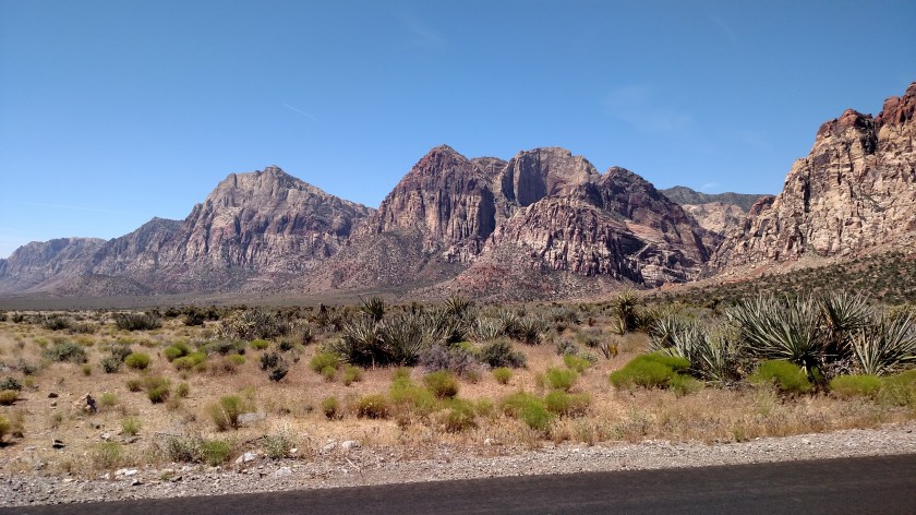
This was from the road heading towards the Canyon:

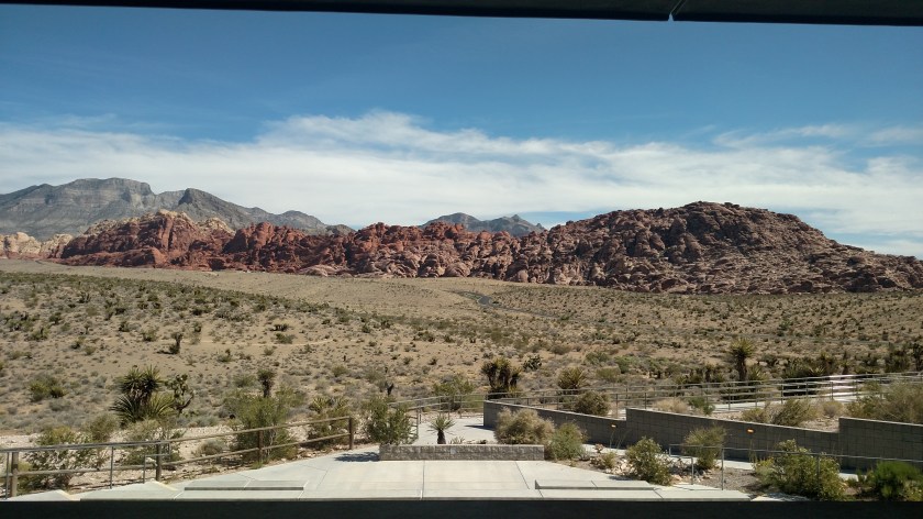
When I finally reached the Canyon I stopped again at the Visitor Center:


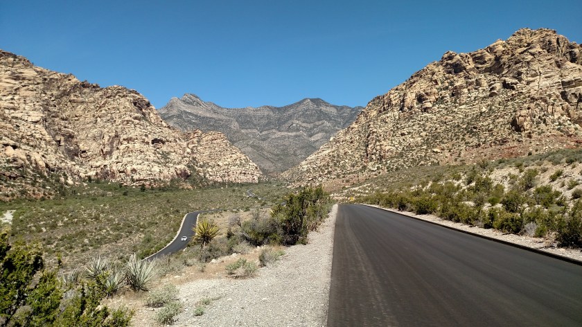
Then I embarked on the 13-mile road through the Canyon:
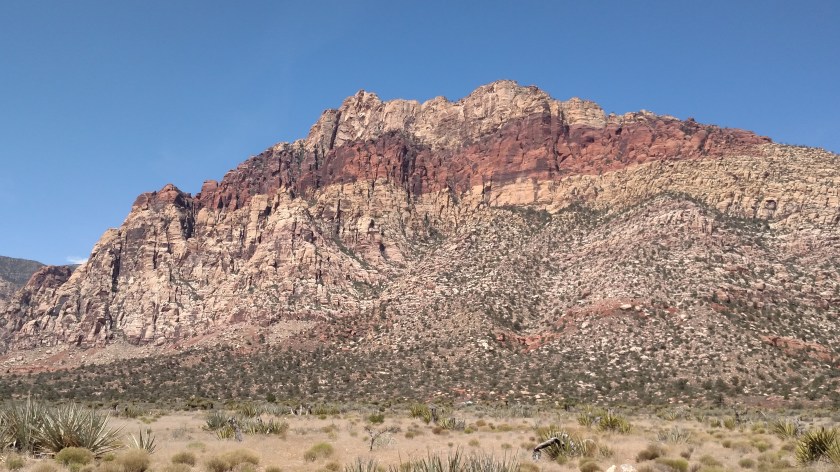
This is a 4-shot panorama, left to right, of the main formation shown above. I believe I posted pictures from the same vantage points a few days ago, but these are now in full sun.
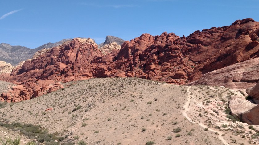

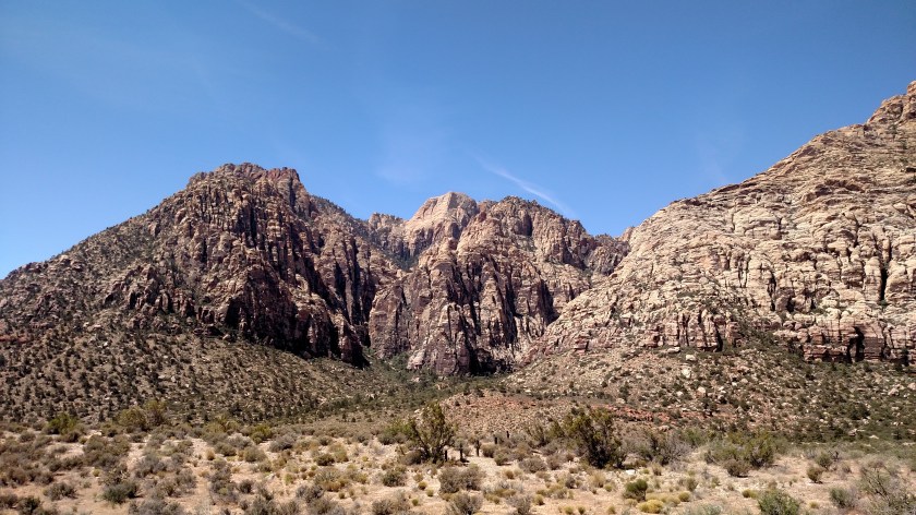
And these are some other formations deeper in the Canyon:
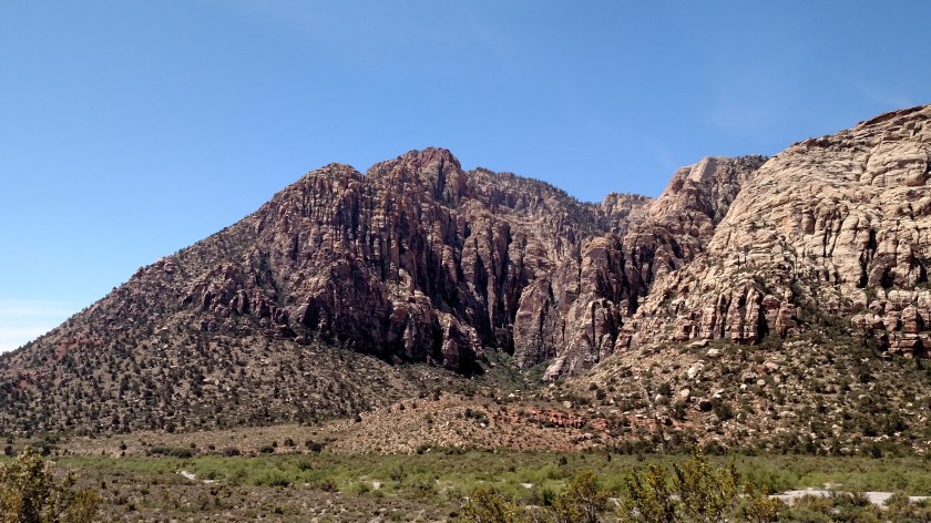

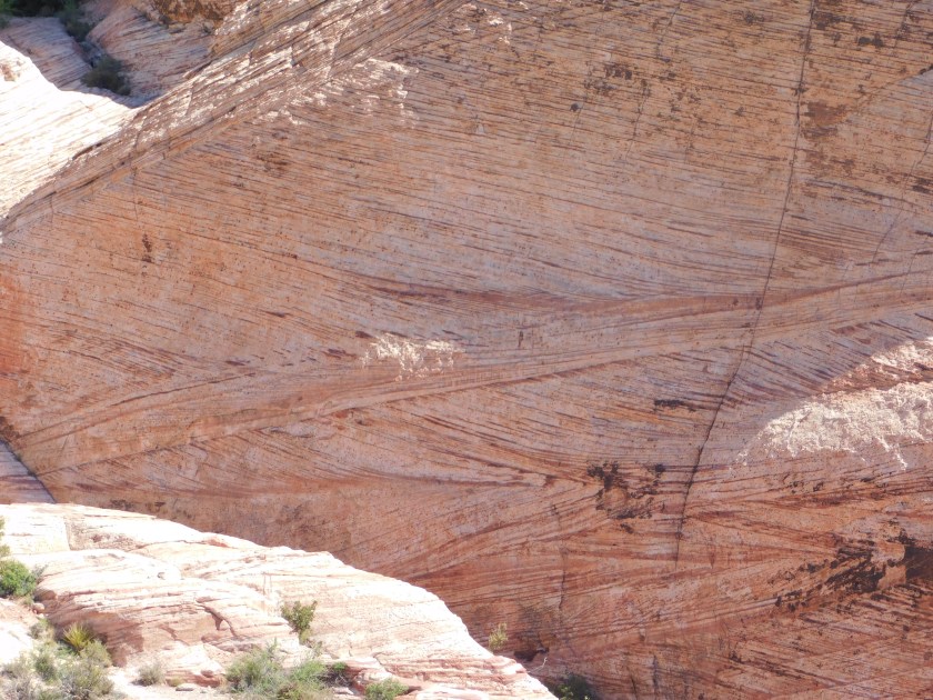
And here another vantage point of one of the first pictures in this post. In the hour and a half that elapsed between the two photos you can already see a change in the colors, how the red line is more enhanced.
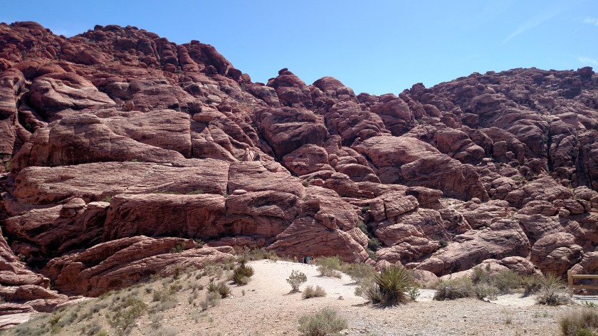
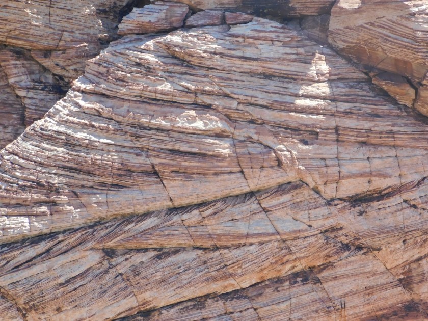
Not only did I want to go back to Red Rock Canyon to have the sun at my back, but I also wanted to zoom in on some of the patterns on the main formation. With full sunlight the images will be better than they would have been with the light cloud cover which was present when I was here last Saturday.
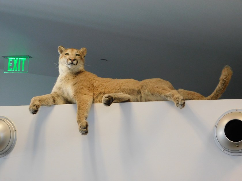
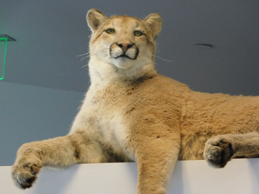
Before I get to the closeups of the formation, I saw this in the Visitor Center when I was there this morning. I hadn’t noticed this on Saturday. According to the man at the front desk, this mountain lion was roaming the area 30 years ago when it died (there are conflicting reports as to how, but most likely it was shot). Through the process of taxidermy it has been preserved and sits high atop a wall over the Information Desk inside the Visitor Center.
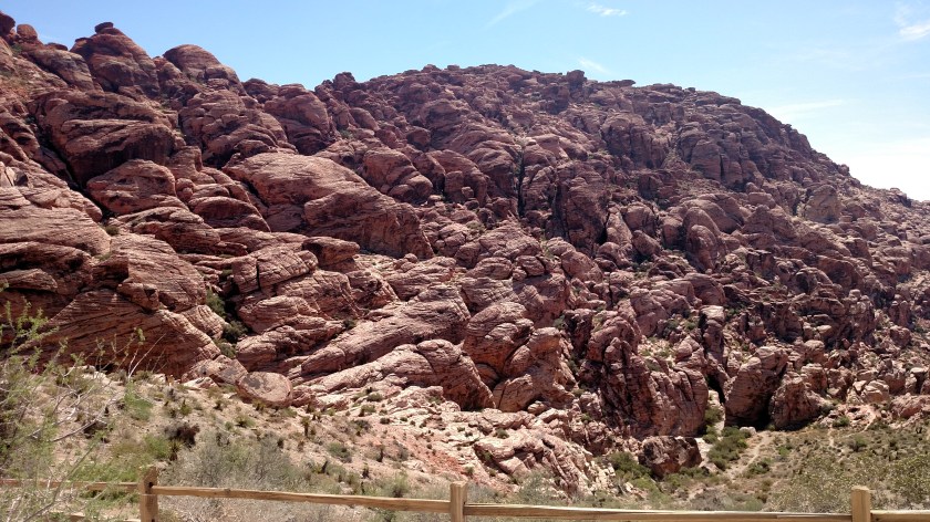
Now, the reason I came back for more photos. This formation had the most interesting colorations, lines and textures:
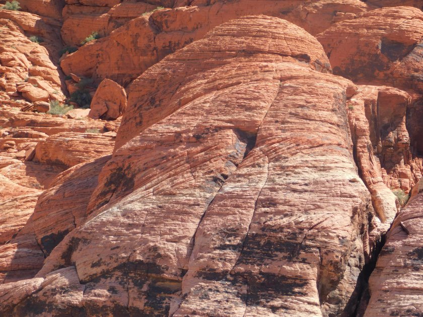

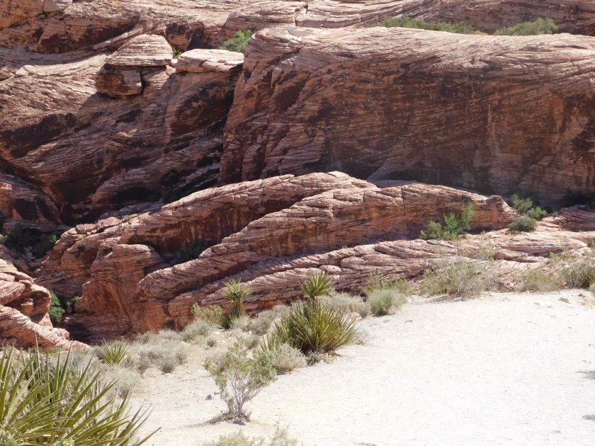
And this was the top of another portion of the same formation, which also shows another mountain in the background:

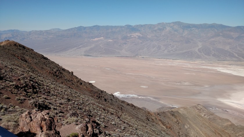
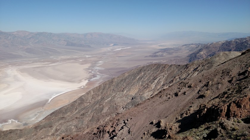
Monday I drove back in to Death Valley National Park and went directly up to Dante’s Peak, an overlook located at 5,475 feet along the eastern range of mountains which line the valley. I had taken some photos from this vantage point Sunday afternoon around 430 local time but that was looking into the setting sun and they didn’t turn out too well. The photos I took Monday morning are much better.
When I left Pahrump this morning it was 80 degrees. I think it took me about an hour to get to the road which would take me up the mountain. At that point it was 96 degrees. At the Peak, around 930am local time, it had dropped to 86 (due to the elevation change). When I got back down it was already up to 110 degrees. The highest number I saw on Monday was 116, but I left the Park around 230 in the afternoon so it probably got even warmer. There was a High Heat Advisory for southern Nevada and Death Valley (ya think?…).
Here is part of the new observation platform, which will actually be officially dedicated tomorrow, June 6. You can also see a hiking trail for those who want to get even higher.

This is a three shot panorama, looking left to right (south to north):
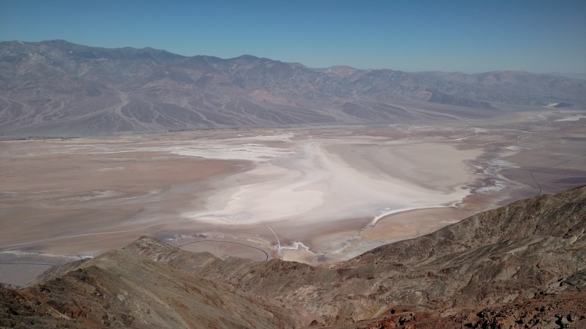
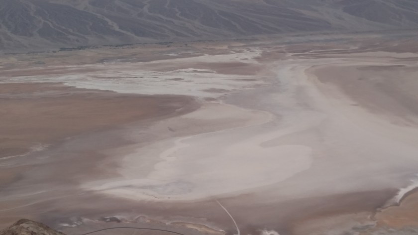
Here is a little bit closer look at the large, white area of salt:
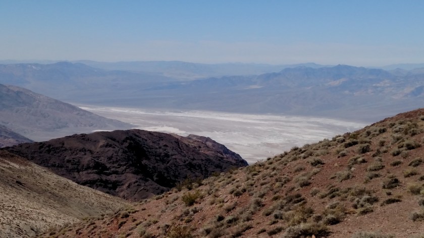
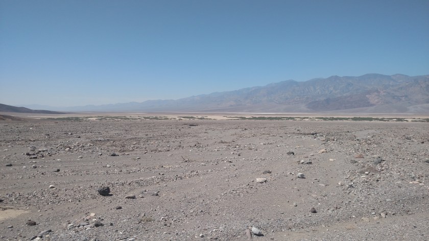
From the south end of the platform I could look at a small area to the south, heading towards Badwater Basin:

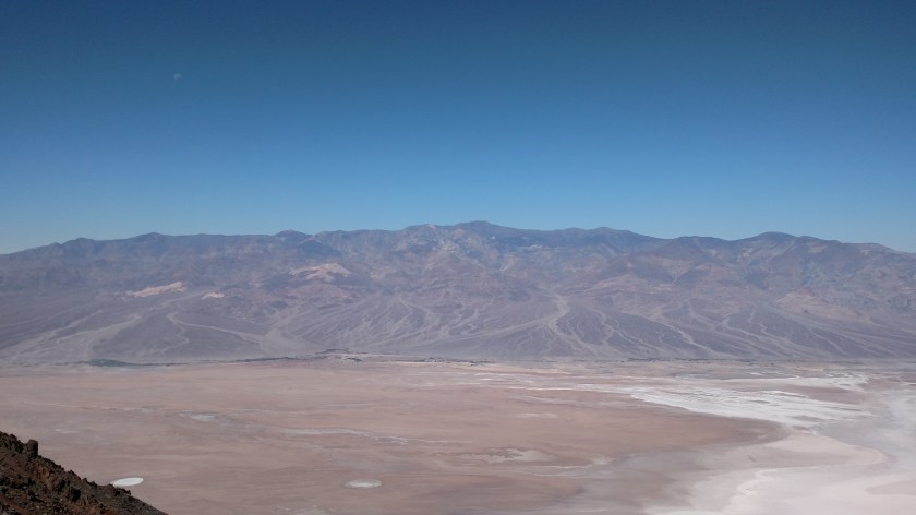
This is the view looking directly across the valley to the west. In the center of the photo is Telescope Peak, the highest point on the western range at 11,049 feet elevation.
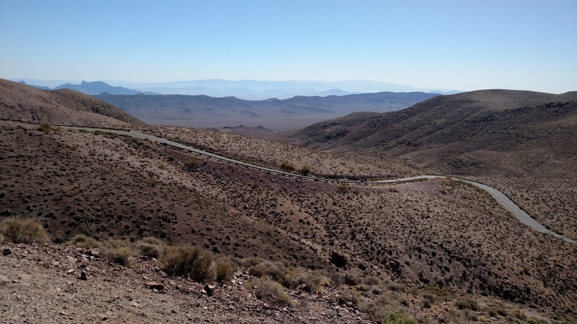
And this is looking west towards the road which will take me back down from Dante’s Peak:
I saw this observation point on Sunday but it was in the afternoon and there was steep incline I had to walk up to get to it. Knowing that I’d be coming back in this way Monday morning I waited to go up then – plus I knew I’d then have the sun at my back.
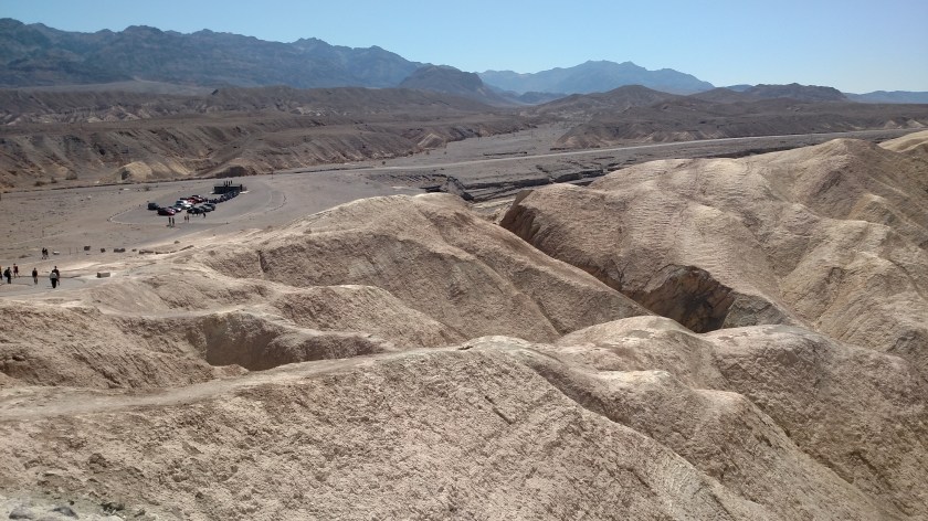
This is mainly a view of hardened dunes and other formations which are close to the observation area, but in some shots you can see the mountains to the west on the other side of the desert floor.

The mountains at the top of the next two pictures are across the valley to the west:

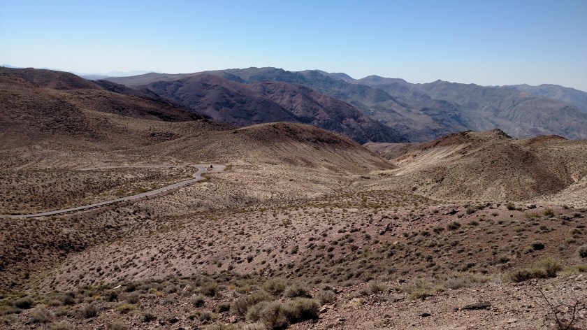
This is looking back down towards the parking lot:
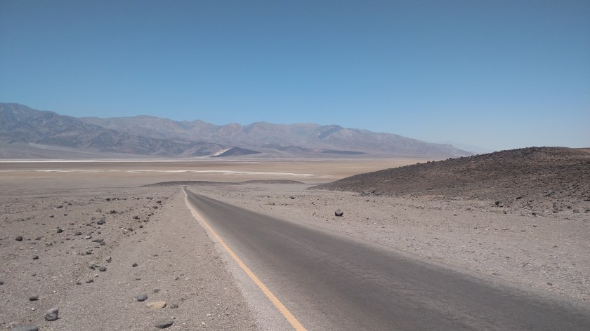
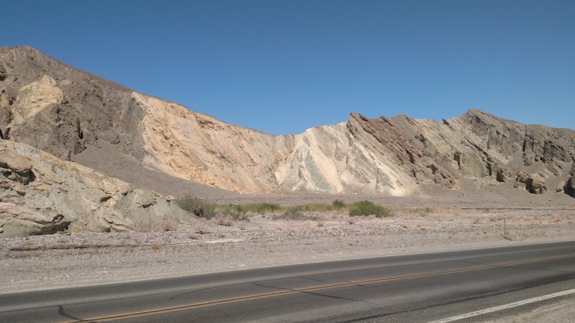
And this is on the road driving towards the Visitor Center:
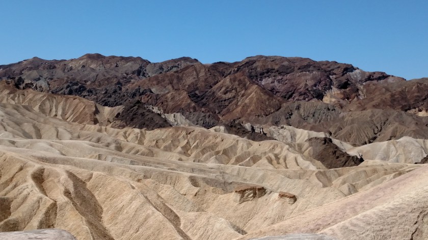
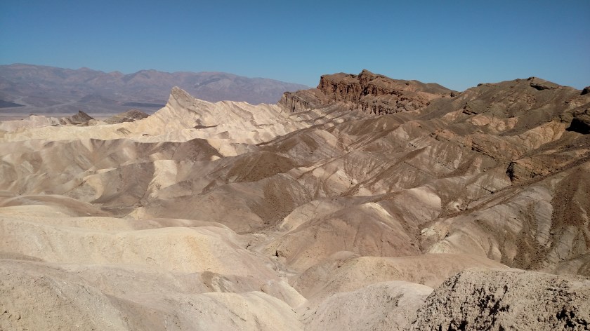
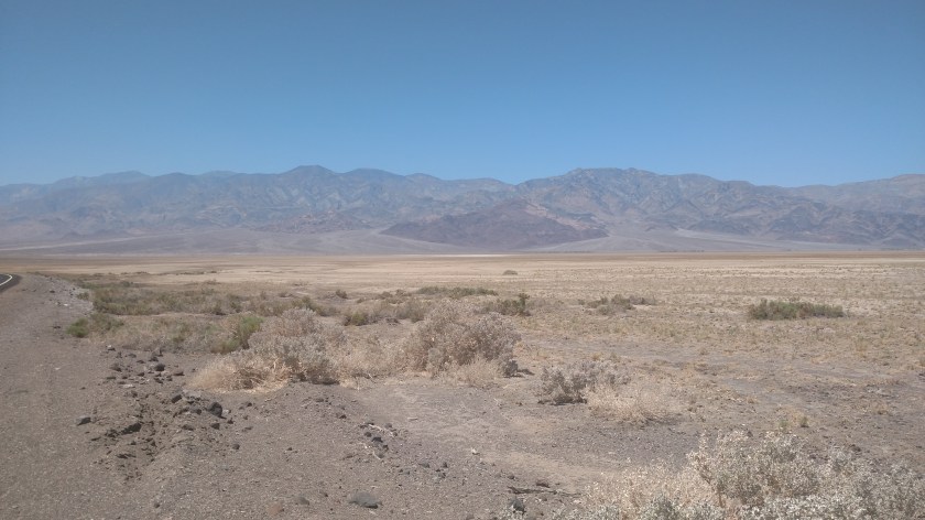
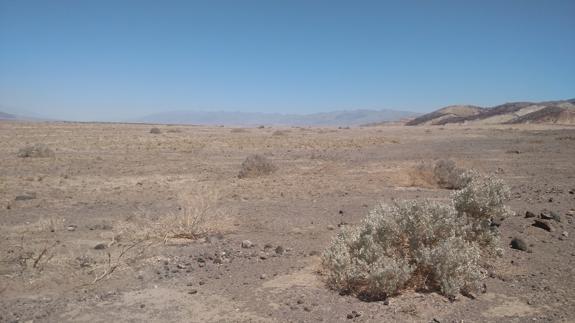
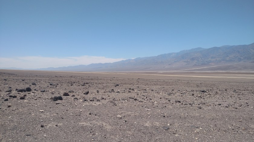
Here are some photos from random places in Death Valley National Park.
When I reached the Visitor Center it was already up to 111 degrees, and it was only 1040am local time:

The rest of these photos were taken as I drove south from the Visitor Center, towards the southernmost Park entrance on the eastern side of the valley.

Here are more Desert Holly pictures:
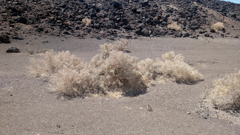
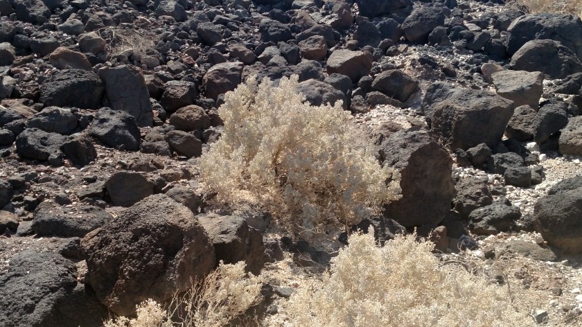
This one shows a Desert Holly which is more green than brown:


This is one of the dips in the road on the Artist’s Point loop: