Well, at least I made it back to my room on the first try…
#CheaperThanTheMotel6Denver
Well, at least I made it back to my room on the first try…
#CheaperThanTheMotel6Denver
I normally don’t do this but I feel guilty that I won’t be posting for two nights…

Round 1 – remember, I’m walking.

#DontDrinkAndDrive


#Yummy
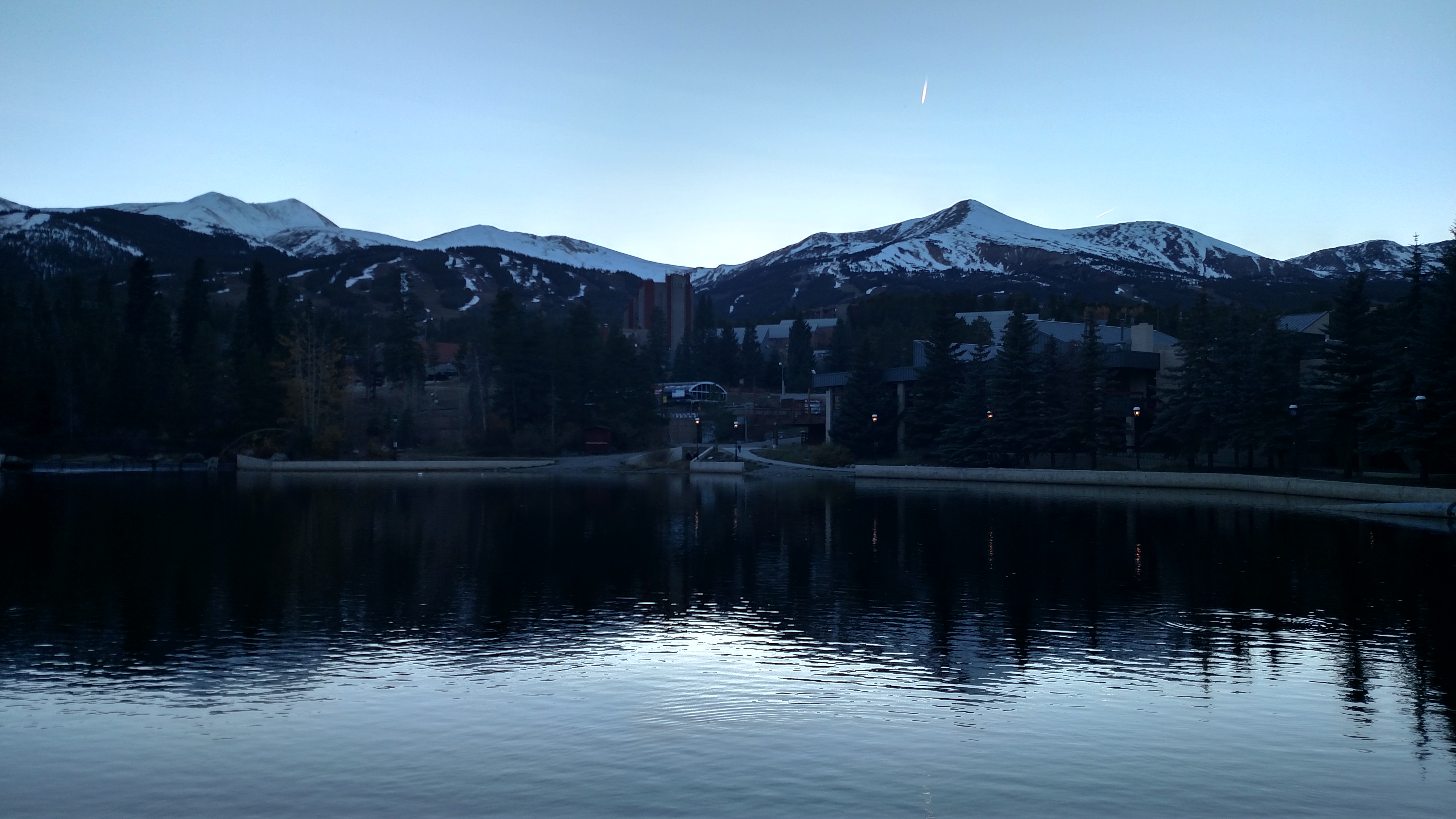
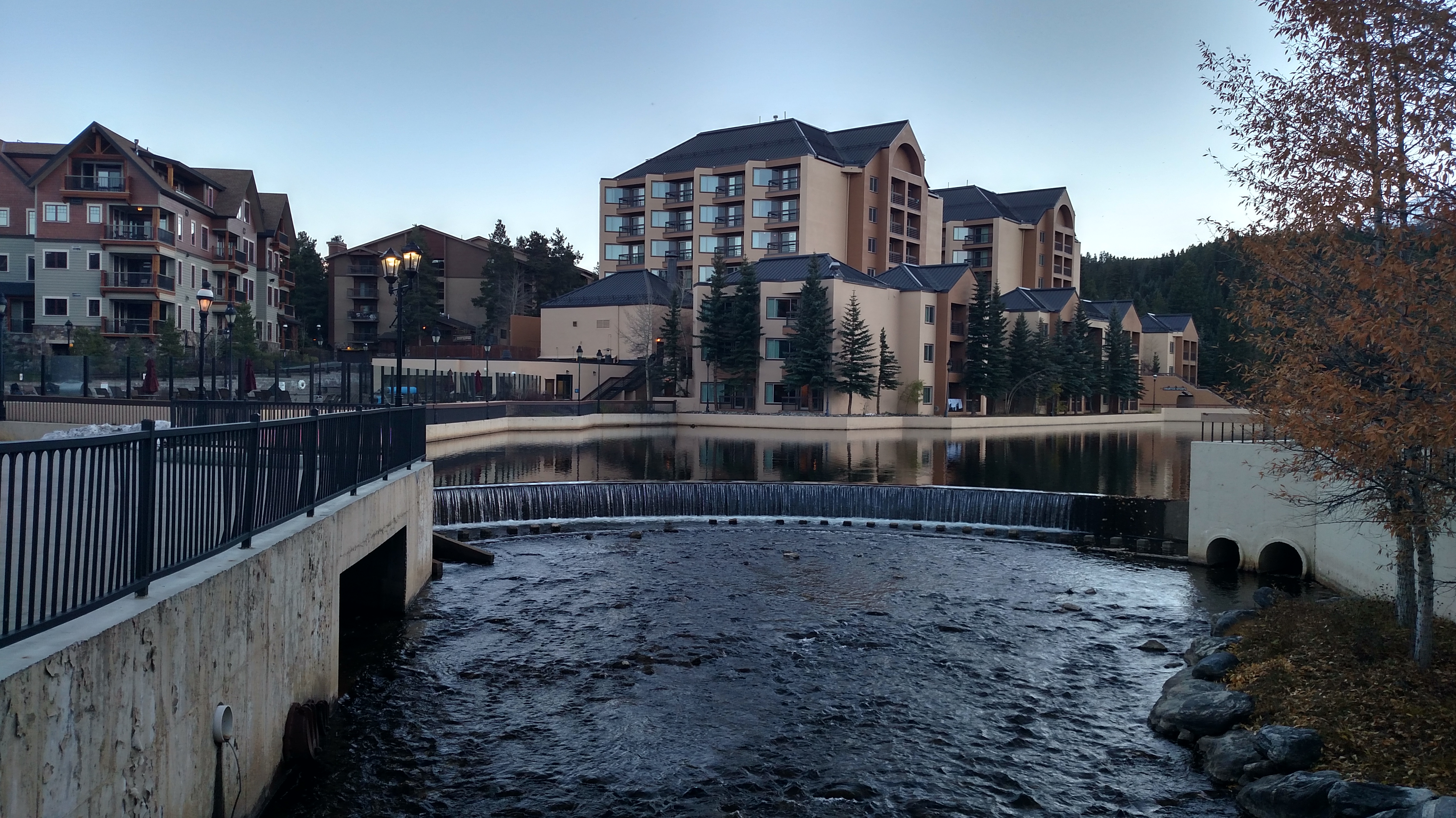
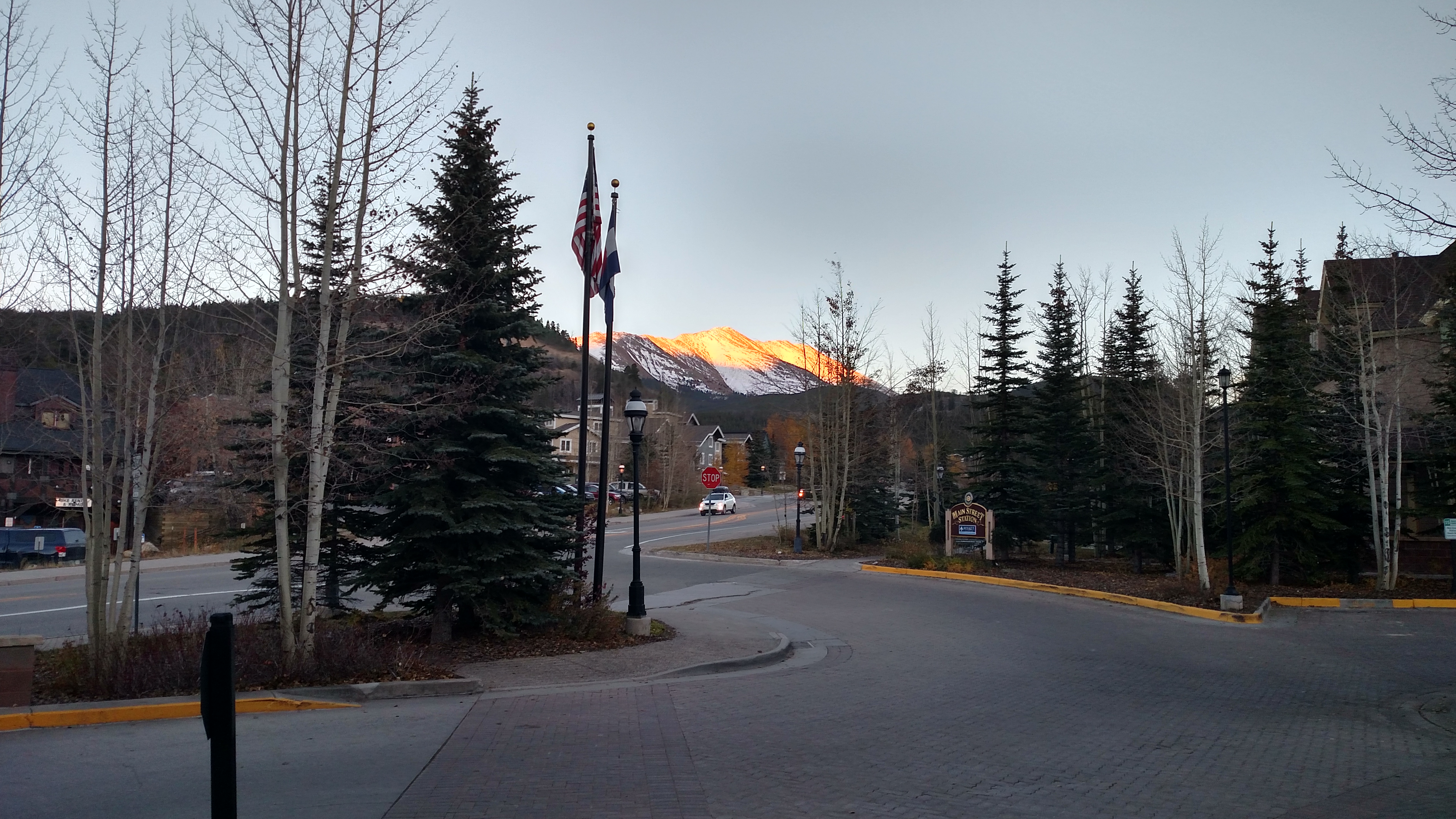
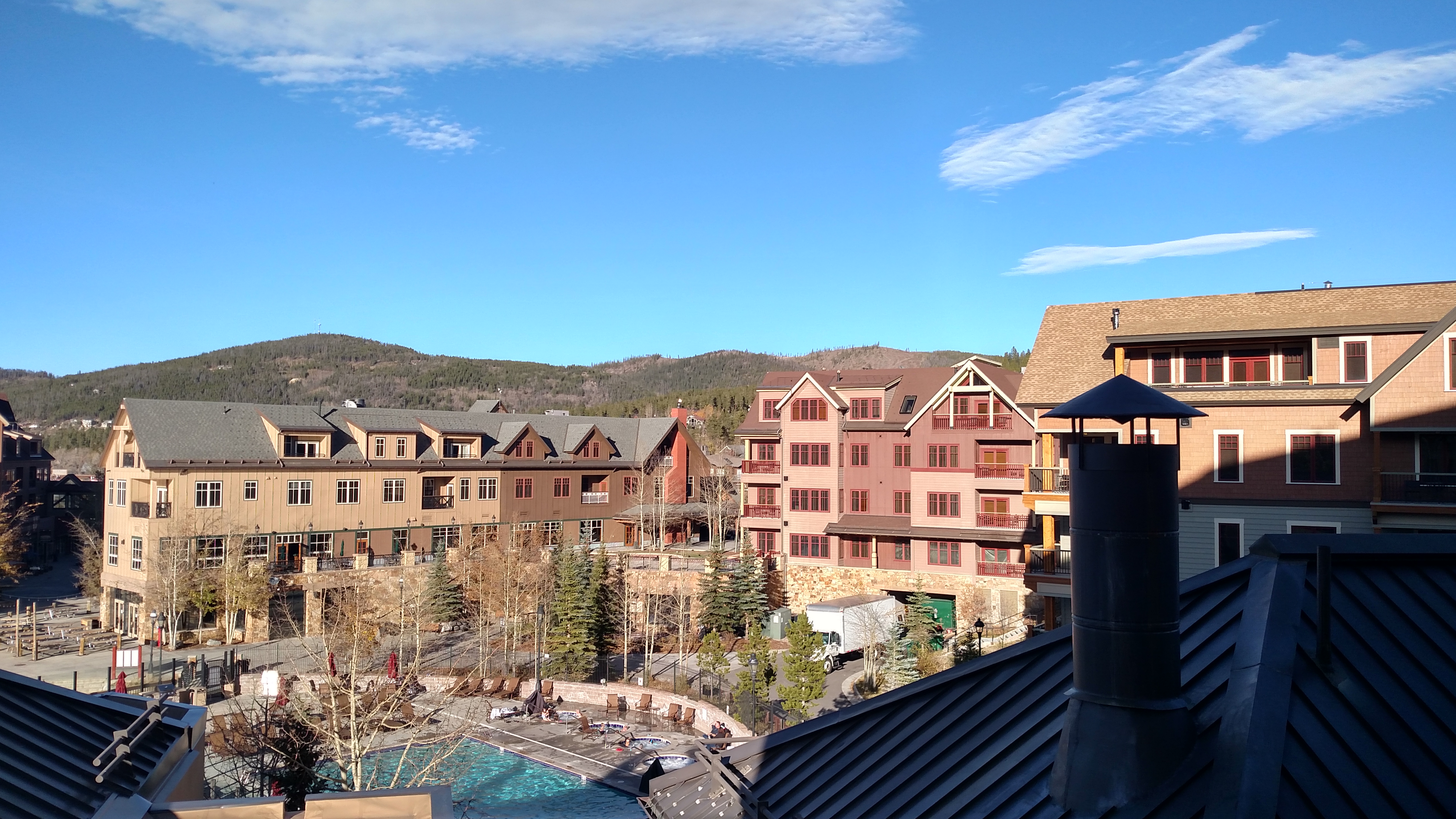
The good news is I have arrived at my next stop. I’ll be spending the next two nights in beautiful downtown Breckenridge, Colorado at the classy Marriott Mountain Valley Lodge. My nice clean car is safely parked in the underground garage so I can walk to restaurants and drink!! Woo-hoo!!


But now the other shoe must drop. You probably know what’s coming… As fancy as this place is (I was VERY lucky to reserve it before the price went way up) it doesn’t have secure wi-fi so I won’t connect my computer to it. So that means no blog posts until I get to Denver on Friday. Sorry.
I am posting this from my phone via regular internet access. I don’t even set up wi-fi on my phone if it isn’t secure.
#ParanoidJohnBoy
Evidently Rocky Mountain National Park (well, Mother Nature) just doesn’t want me to check off the final two things on my list.
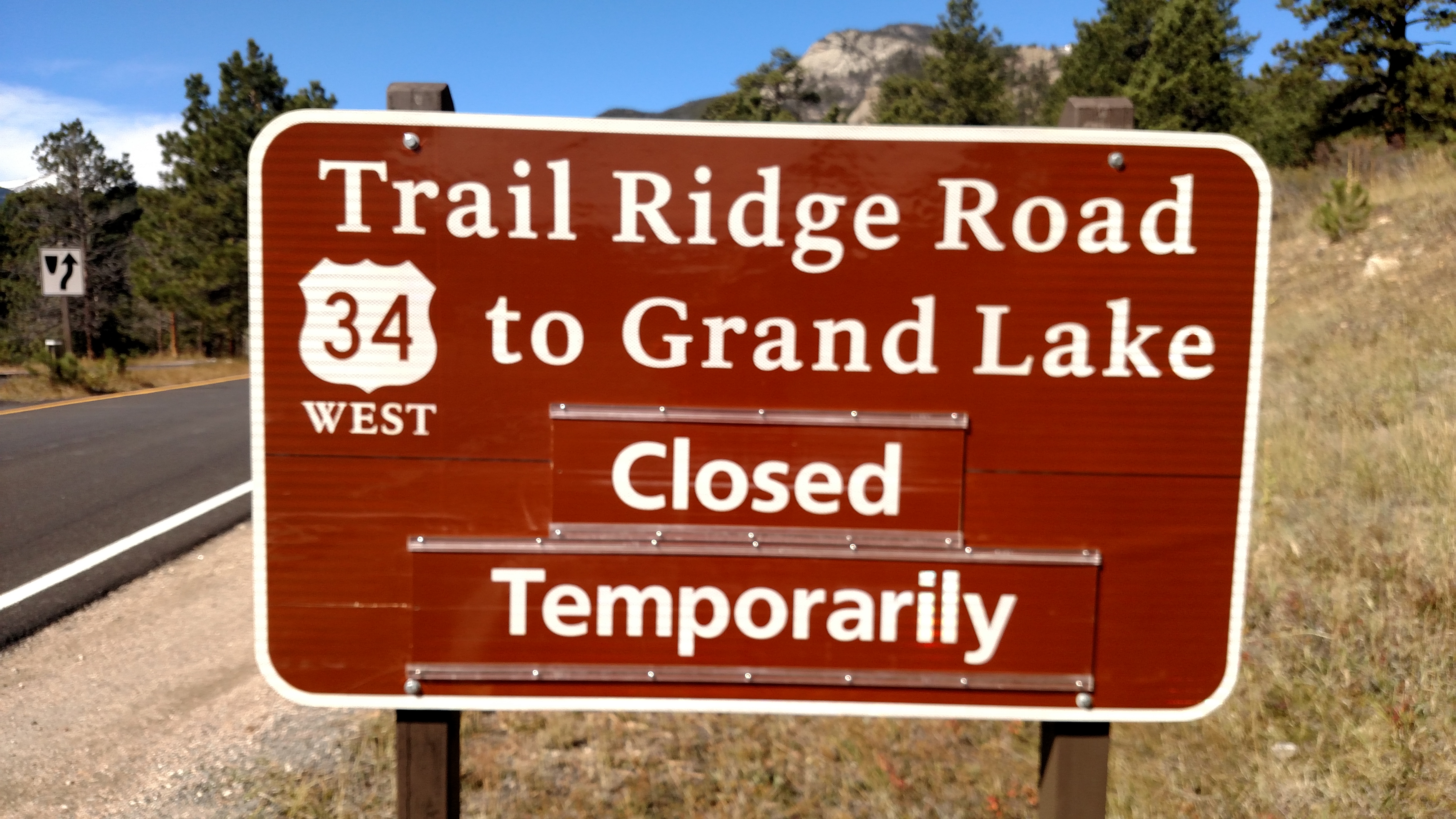
I asked how long “temporarily” is and she said “oh, a couple of days…”.
So back to Estes Park and will take the Million Dollar Highway south to the dreaded interstate. Beautiful day for a drive, at least. 59 degrees at the East entrance (and for me, exit) at 1226pm local time.
Didn’t get to the insides of the windows today but it will be even warmer tomorrow.
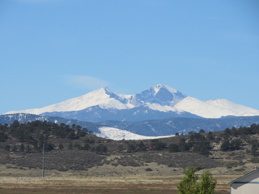
When I went out to get coffee this morning (yes, friends, I fell off the “I’m not drinking any more coffee” wagon about halfway through this trip) I saw this mountain off to my right. It is Longs Peak, the highest point in Rocky Mountain National Park (the east entrance of which isn’t that far away from where I’m staying) and it tops out at 14,259 feet. I couldn’t see it when I arrived yesterday. In fact, I couldn’t see much of anything most of the day yesterday. Visibility until I got up here was probably no more than a mile in any direction at any time, and often less than that.
I took this about an hour ago.
I’ve also looked at the RMNP website and discovered they have several webcams throughout the park. This is the view from the Alpine Visitor Center which, at 11,796 feet, is the highest Visitor Center in the entire National Park System. It is one of two points in the Park I hope to get to early afternoon tomorrow on my way to my next Airbnb stop. I have two pieces of unfinished business in RMNP and something I hope to see at this place is one of them.
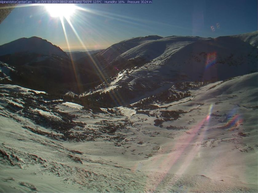
(Photo credit: nps.gov Webcam)
I should also mention that to see lots of great National Park photos from more vantage points than I’ll ever get to, and also many live webcams, you should go to the National Park Service website for the Park of your choice.
Gee, you may not need me any more…..
I’ve also been thinking about what Monday’s snow event brought to Pikes Peak, which didn’t have any snow on it the day before. I checked a few webcams online and here’s what I found:
From on top of the mountain itself, looking down towards Colorado Springs:

(Photo credit: cograilway.com Webcam)
And looking at the Visitor Center on top of the mountain:

(Photo credit: coloradosprings.gov Webcam)
And from down on Highway 24, looking at the mountain:

(Photo credit: utepasscams.com Webcam)
********
Oh, and I should mention that I was NOT required to buy chains for my car. The rule out here is that passenger cars must have qualified snow tires with a certain amount of tread depth, or All-Season tires which have an “M+S” rating (for Mud and Snow), or a Snowflake symbol, on the sidewall to travel on interstates or over various mountain “passes” under certain weather conditions. My new tires do have the M+S designation and are only about two weeks old, so tread depth wasn’t an issue.
********
Still only 43 degrees here at noon local time. It was very foggy early this morning at the housing development where I’m staying but the sun is out and all that has burned off. It is supposed to get up in to the mid 60’s and I’ll wait until mid-afternoon to clean the car.
CORRECTION – Now they’re saying only mid-50’s today.
I mentioned in another post that the winter storm here in Colorado is causing a major one-day drop in temperatures.
At 6pm local time it was just above freezing here in Loveland, which is at around 5,000 feet elevation. When I started gathering information for this post at around 130am local time (yes, Matilda, call me crazy but I generally post my blog in the middle of the night…) it was 25 degrees.
Over in Breckenridge (at around 9,600 feet) it was 24 degrees at 6pm and is currently 17 degrees.
Back in Durham, NC (which is only at around 400 feet) it is currently 75 degrees (at the RDU airport, actually) at 330am Eastern time. It’s not even that warm INSIDE the house I’m staying in out here!
In Albuquerque, New Mexico (see next post) it is currently 43 degrees (they are on Mountain Daylight time, as is Colorado). ABQ is at around 5,300 feet elevation.
********
Other than altitude, the distance from the equator is also a factor in temperature.
Albuquerque is about the equivalent of Charlotte on the east coast.
Breckenridge is about the equivalent of Baltimore, Maryland.
Loveland is about the equivalent of Hagerstown, Maryland.
********
I’m getting back in my nice warm bed now….
I’ll post some more “close-ups” from earlier in this trip in the morning as I wait for it to get warm enough outside to clean my car. Goodnight.
The 10-day Albuquerque International Balloon Fiesta is underway and will wrap up this coming weekend down in New Mexico. As usual, they are having great weather for it.
When I added bonus time to this road trip I gave serious consideration to being in town for it but decided against it. I have a friend who lives in Corona, NM and he told me things get really crazy in Albuquerque for Fiesta and there is gridlock on the roads daily. These days I much prefer the laid back pace of my scenic roads and I don’t like gridlock (and ABQ is doing road work on a major artery in town and there was already gridlock three weeks ago).
At times Fiesta is gridlock in the air. Some years they have as many as 500 participants! One of the reasons they hold this event there each year is something called the “Albuquerque Box” which is a repeating atmospheric condition of predictable wind currents which allow the balloon pilots to stay in the same basic area close to town by simply changing altitude.
While I was in Albuquerque a few weeks ago I did go to Fiesta HQ (near the Ballooning Museum which I went to a few years ago) and bought some nice notecards containing photographs of prior festivals. I guess since I paid for them I can do whatever I want to with them so I took pictures of the pictures and they appear below.
Photo credit: These were all originally taken by photographer Sandra Layne
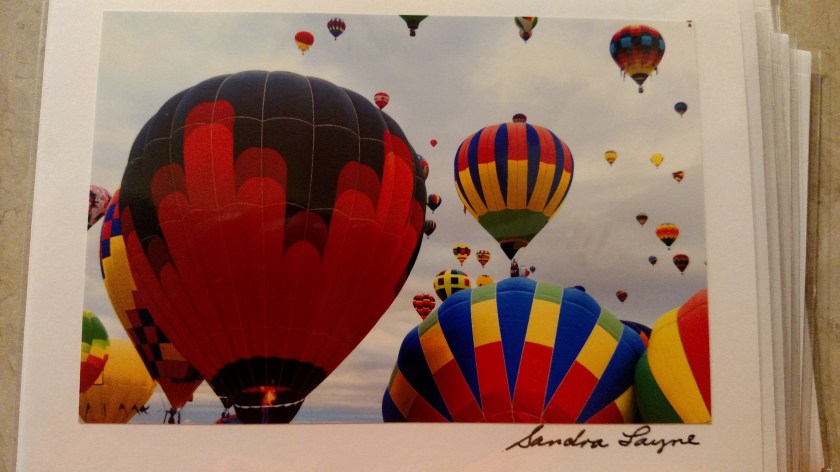


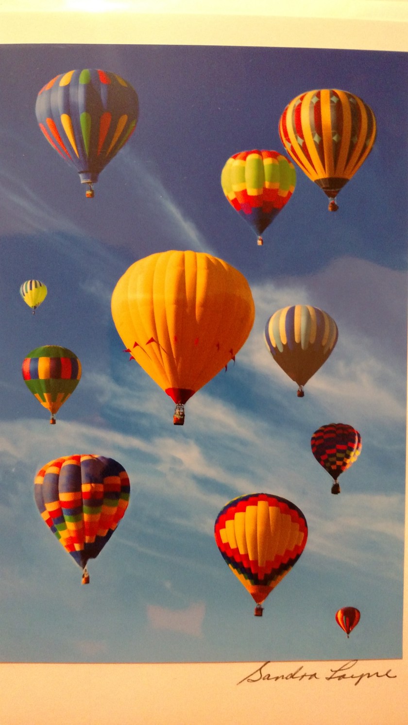

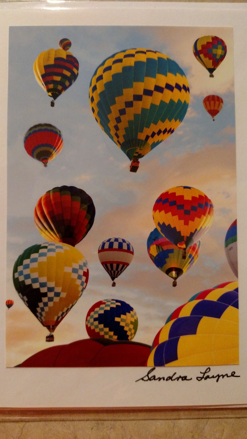
To see other Fiesta pictures taken by various photographers go to the Fiesta website at balloonfiesta.com (I especially like the Yoda balloon!)
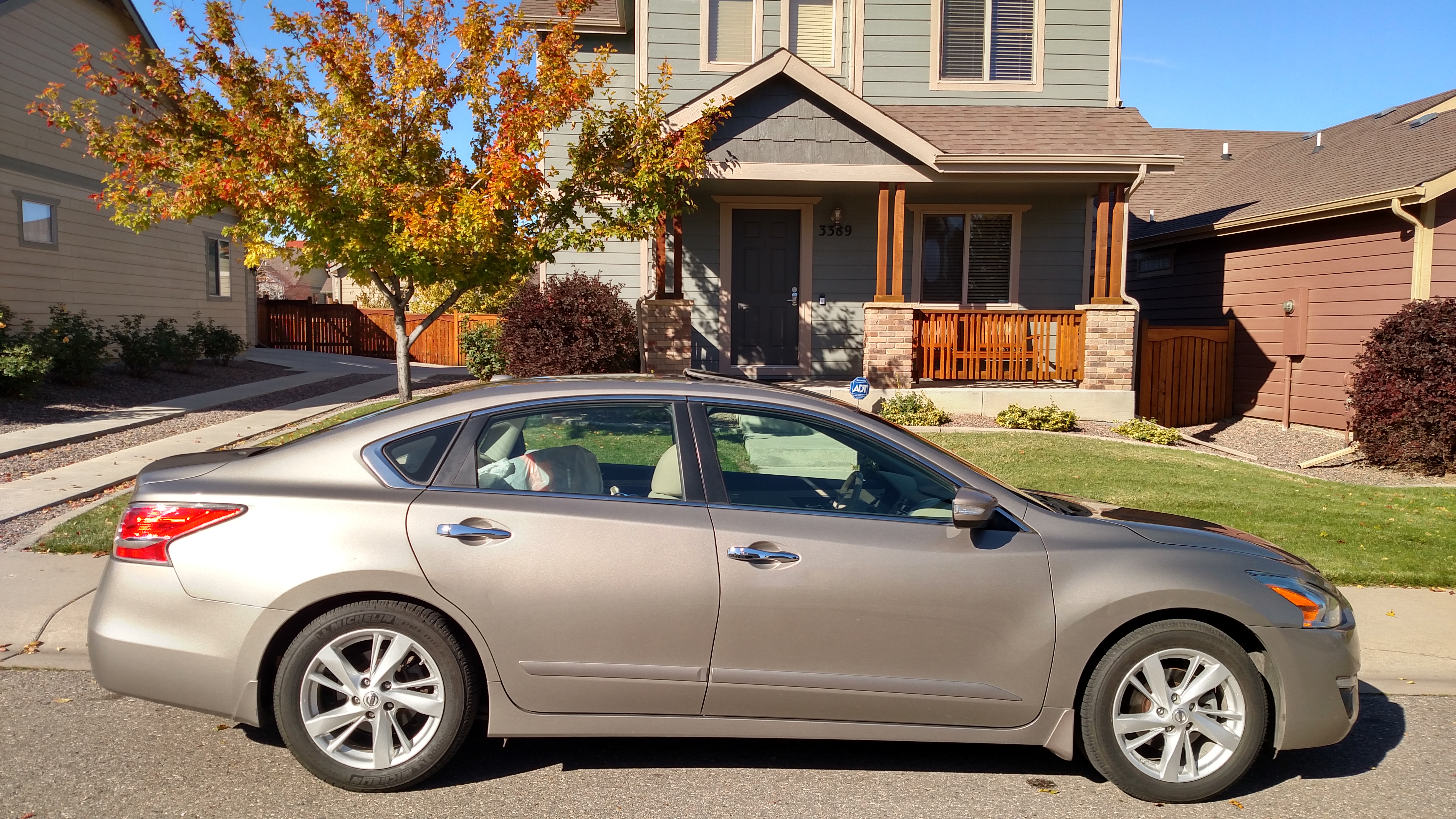
It turns out I am staying a little north and west of Loveland, not far off the road I took to get to Rocky Mountain National Park a month and a half ago when I was staying up in Fort Collins. I specifically picked Loveland because it is closer to the Park, although I’ll need to check their website to see what conditions are before going over. I may wait until Wednesday and try to go over there before heading to my next destination. I think tomorrow afternoon my car deserves a THOROUGH exterior cleaning – bugs off the front-facing surfaces, alloy wheels hand-cleaned and then to a car wash with brushes to clean the overall car. I’ll then clean the windows inside and out and vacuum the driver’s side floor (the only piece of carpet I can see!).
I bought food for the evening and am in for the night. It is supposed to get down into the mid 20’s overnight. I was delighted to learn that I could actually put my car in the garage! First come, first served and evidently I was the first one here. This house is owned by someone in Atlanta and he doesn’t live here. Someone lives in the basement and evidently changes the beds and keeps the rooms and common areas clean for guests.
It is a beautiful home in a new subdivision. It is out in the boonies and should be very quiet. The owner has quite a system: Everything has combination codes (digital deadbolts). One code for entry to the house itself, another for each specific guest room, and one for the garage.
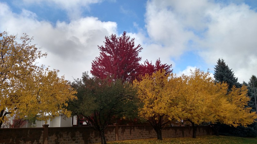
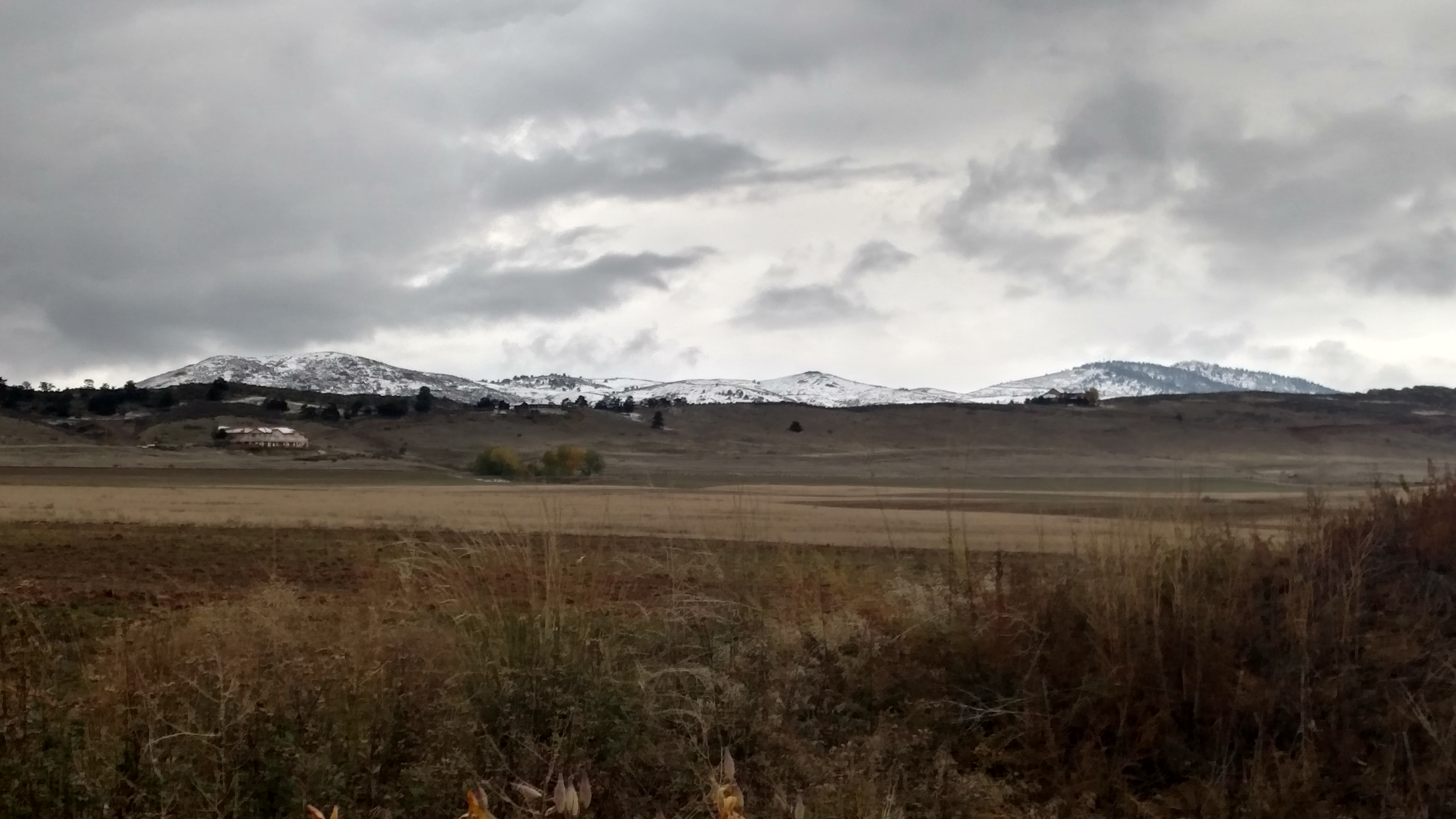
After I unloaded my stuff and put my car in the garage I walked a few blocks back behind Ponderosa Elementary School (which was just getting out for the day) and took this picture of the mountains looking west. As you can see, any snow that fell on open areas that aren’t shaded pretty much melted on contact because the ground temperature is still warm. It has been in the 70’s here if you aren’t up at high elevation, and will be again by the end of the week. The Weather Channel said this morning that Denver was getting it’s first “significant” snow of the season about a month earlier than normal, and I think this system delivered less than was predicted. The event which dropped 15 inches of snow on Dillon a week ago today was only a rain event in Denver.
As I was going back to take it I noticed that some kids up the street had made a little snowman:
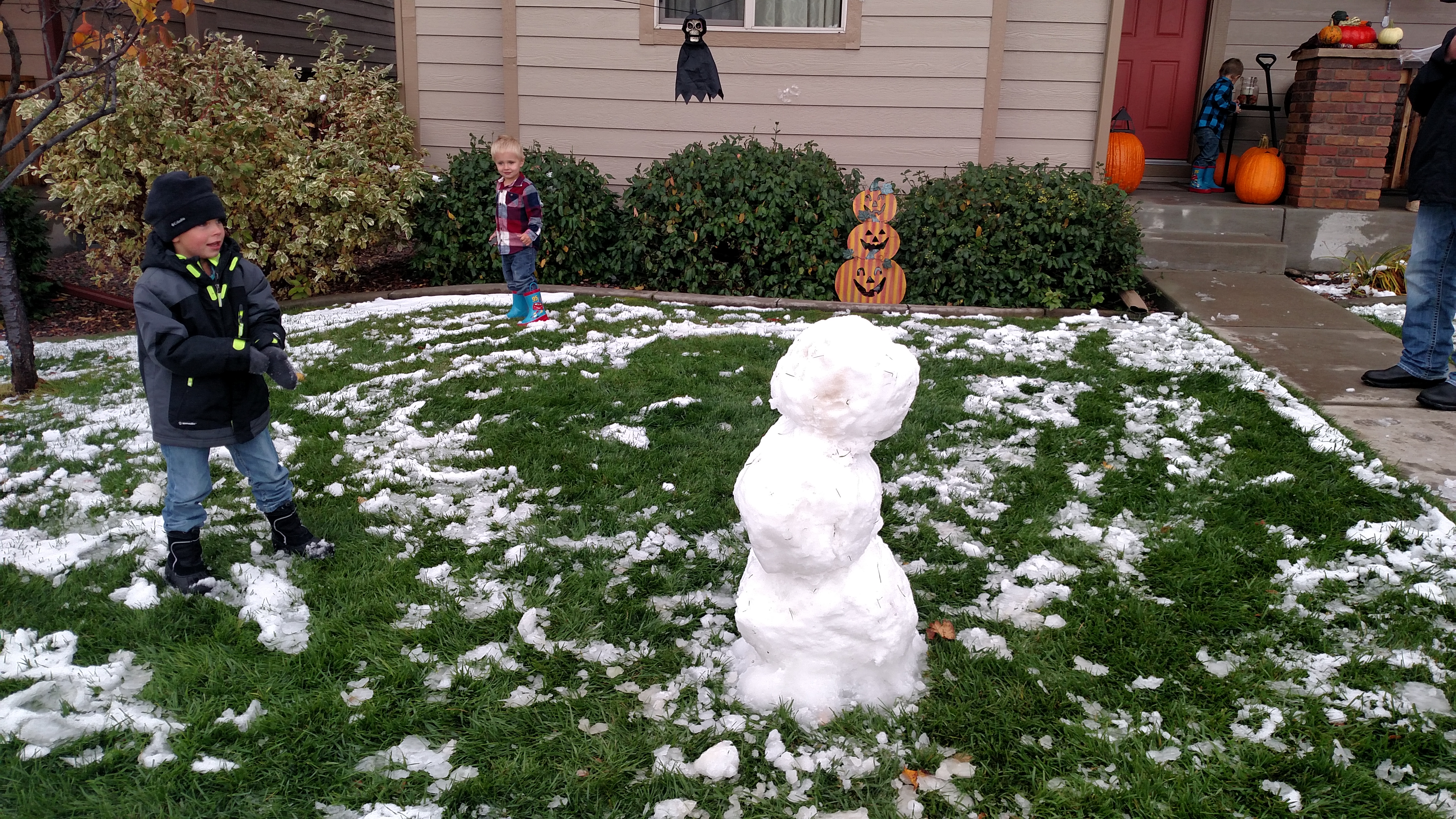
And as I was walking back I saw, much to my dismay, that some people I had just said hello to who were walking their dog had apparently let him pee on it!! What is the world coming to??
#DontEatYellowSnow
Safely near tonight’s destination. “Winter Storm Aiden,” as The Weather Channel dubbed it, was no big deal for me. I left Colorado Springs earlier than planned because traffic cameras on I-25 all looked good and it was supposed to improve up here and deteriorate down there.
North of Denver now and 60’s/70’s the rest of the week.
This was taken as I was waiting to get on I-25 at 1000am local time.

