September 21, 2025
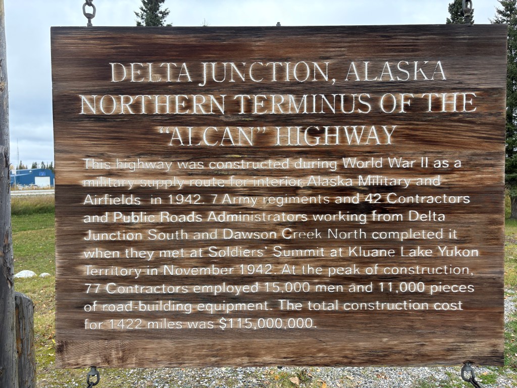
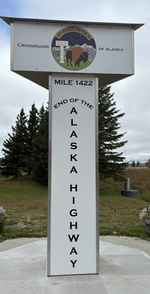
Here are more of the things I saw as I drove south. About 20 minutes after having seen where the Trans Alaska Pipeline was hoisted over a river I arrived in the small city of Delta Junction. As you will see, this is there the Alaska Highway ends.

Oh, and there is a much-larger-than-life mosquito here, too.
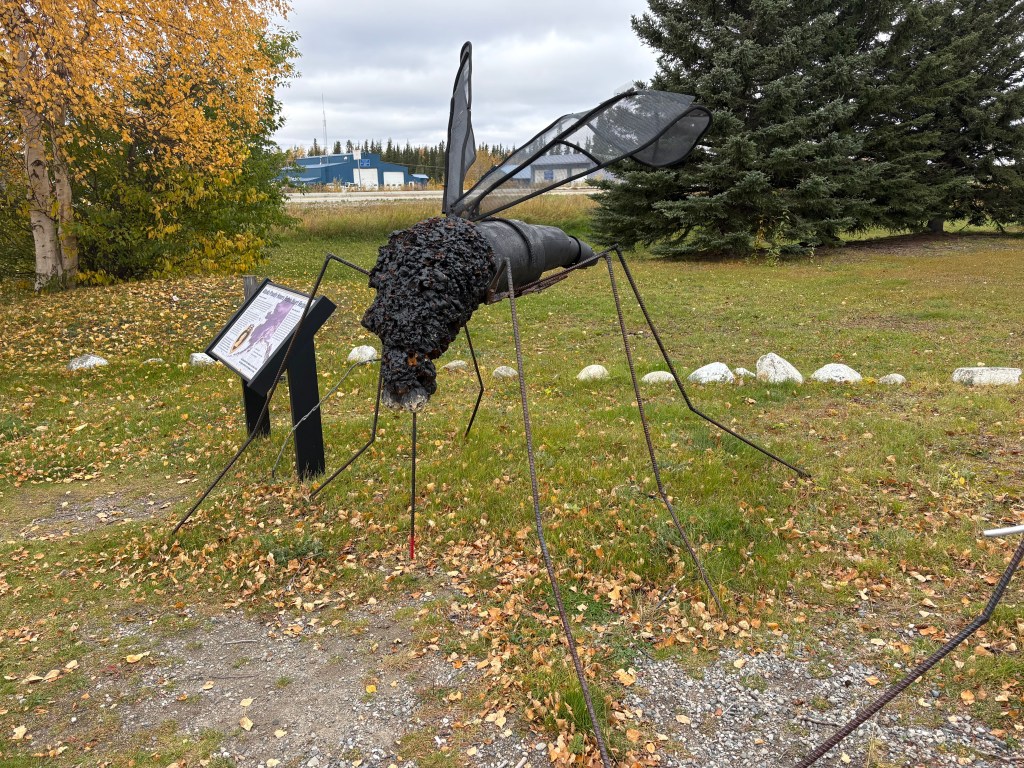
Why, I don’t know….
After taking a lunch break here I continued south, this time on Hwy 4. Highway 2, which had brought me down from Fairbanks, goes southeast from here to get to Tok, AK and eventually the Canadian border. I will take it when I leave this part of Alaska later in my trip.
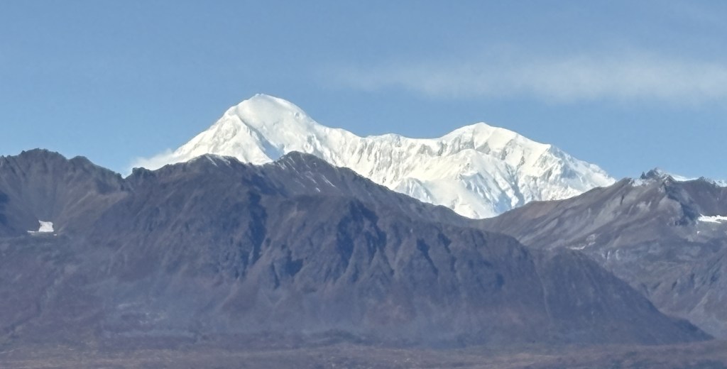
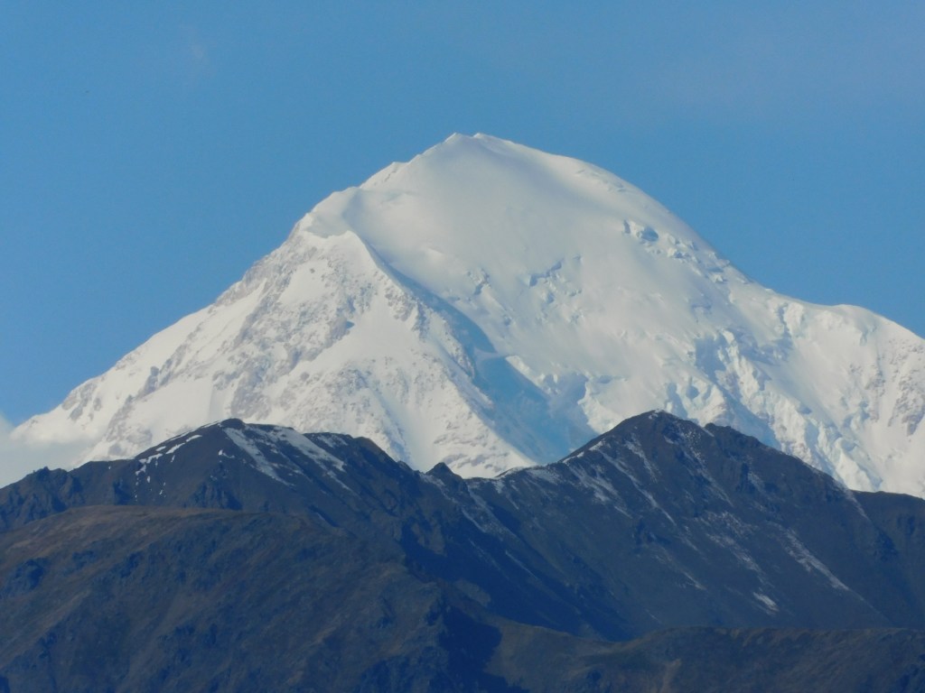
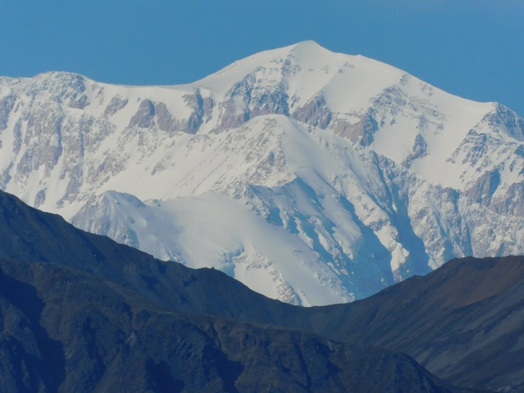
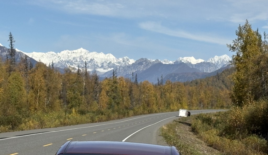
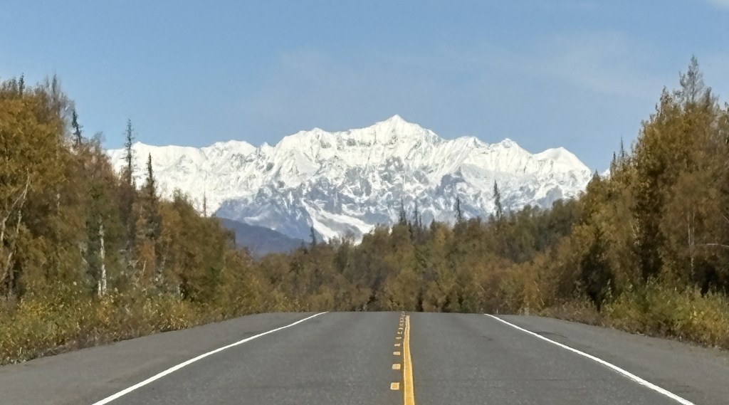
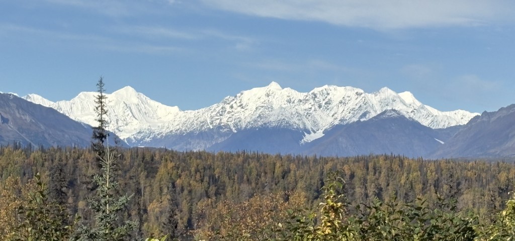
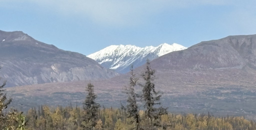
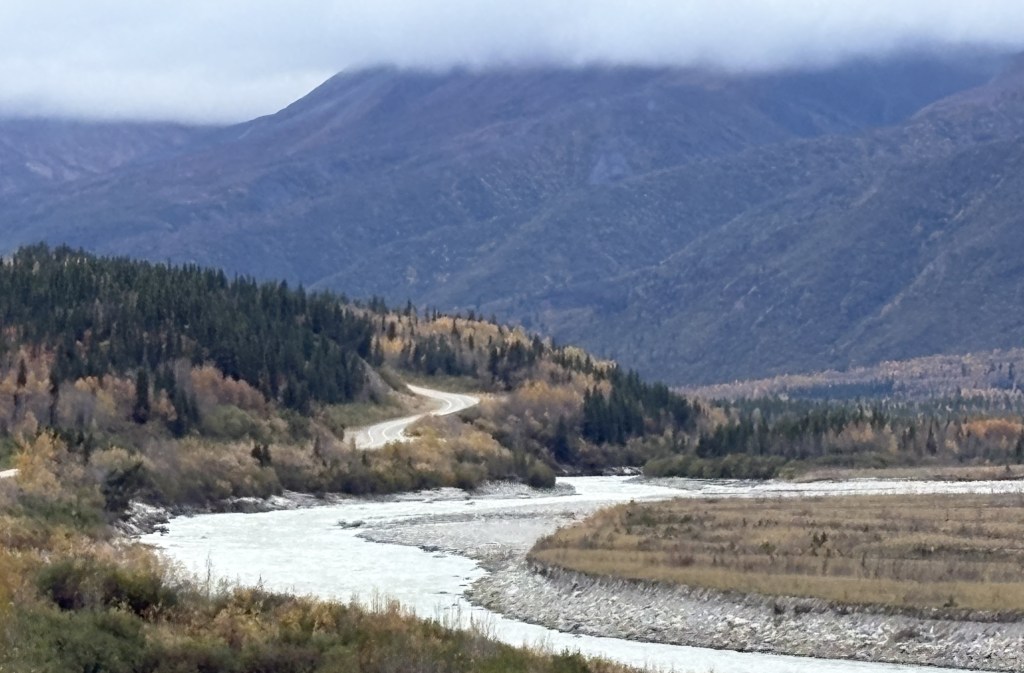
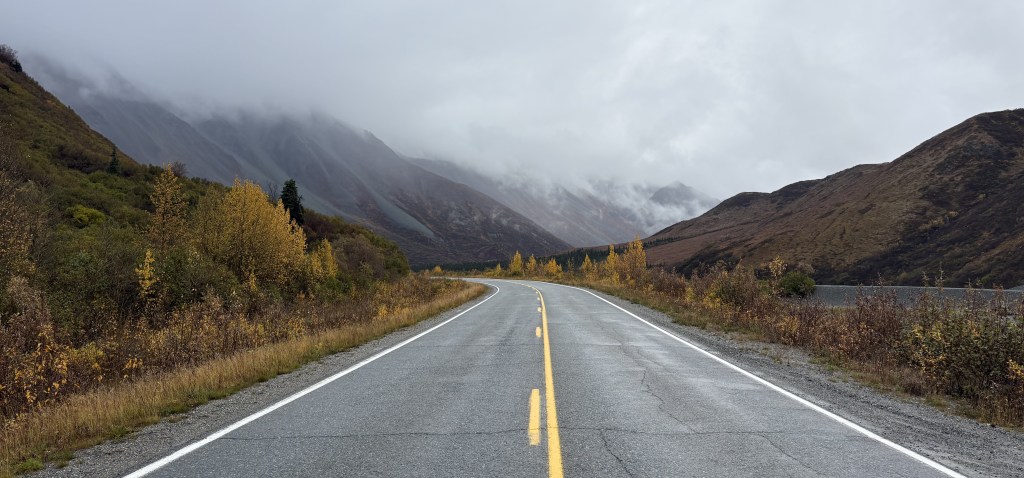
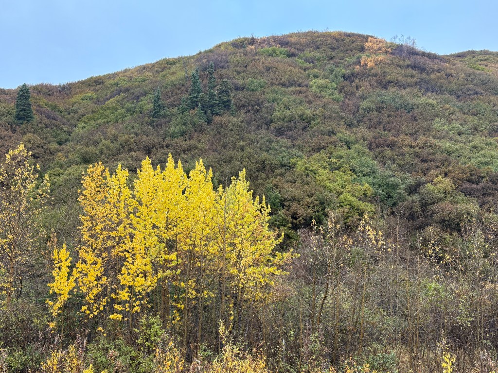
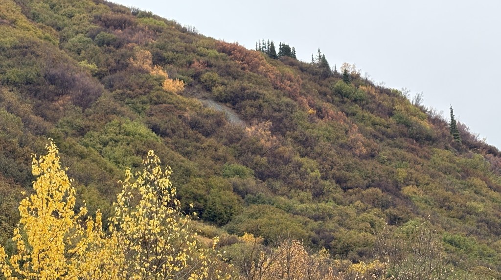
As I drove south on Hwy 4 I continued to pass low mountains, but I would drive through another portion of the Alaska Range of taller mountains, though they were further off the highway. It had been overcast all day and some of the clouds were starting to lower.
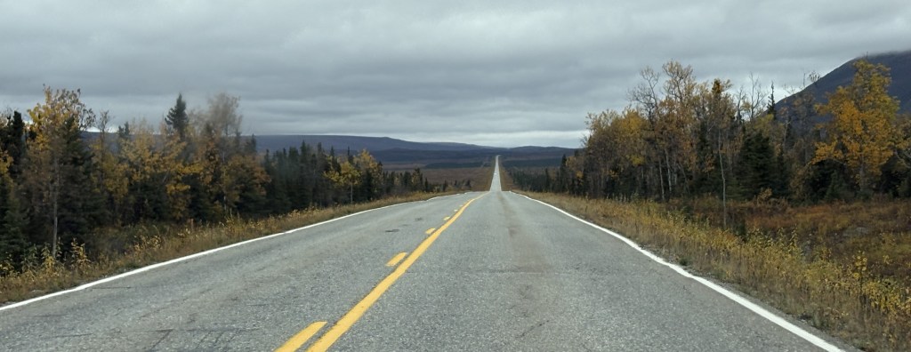
Looked like a long drive….
I passed another military training site but there didn’t seem to be anything going on. I presume it is for training in cold and snowy conditions. All I could see was a building next to the highway.
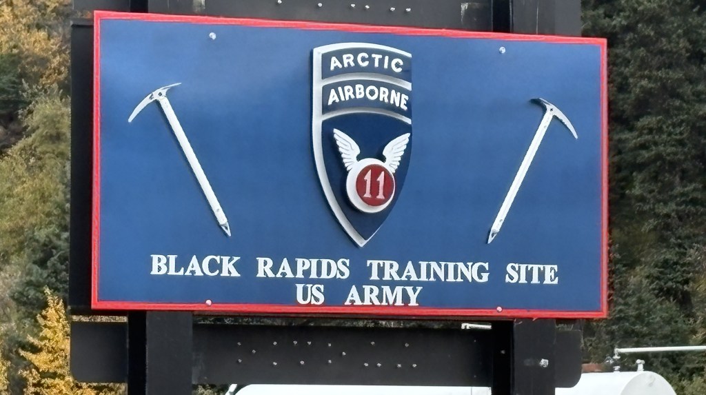
If there hadn’t been a sign there I would have driven right past it.
As you may have guessed looking at some of these photos, after Delta Junction there are no towns or villages out here. I saw a small number of motels that were closed and abandoned, but no stores, gas stations or residential housing. In the winter I doubt if this portion of the highway gets much traffic unless the military is engaged in training exercises. I had hardly seen any traffic when I was on Hwy 2, and saw even less now that I was on Hwy 4.
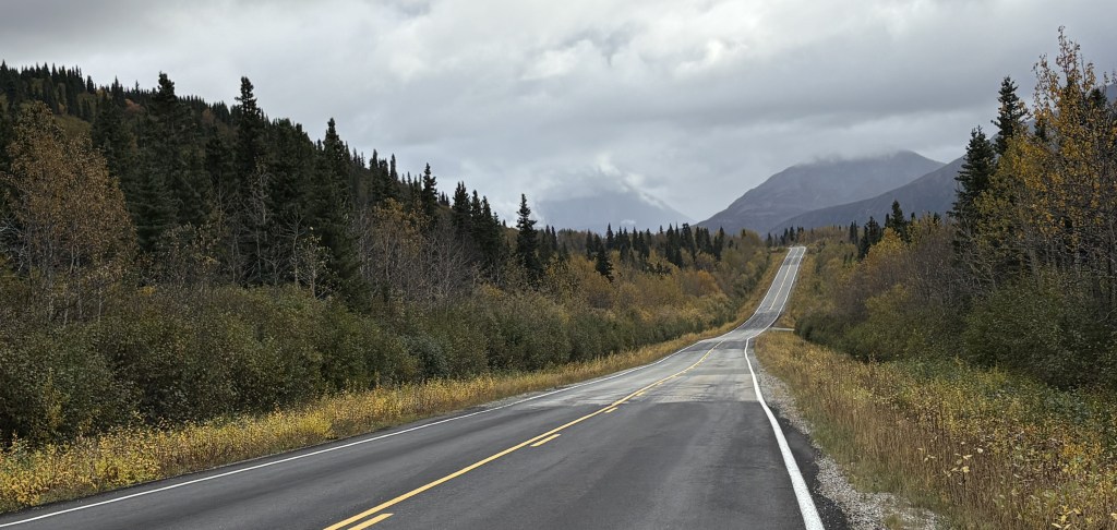
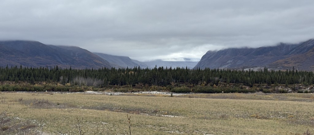
The road just went on and on, and it didn’t look like I was going to get a very good look at any on the mountains due to low clouds.
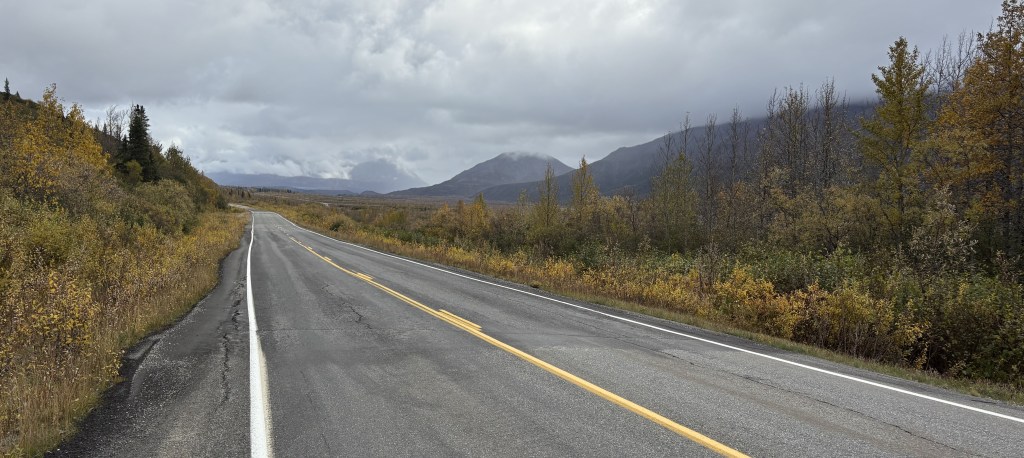
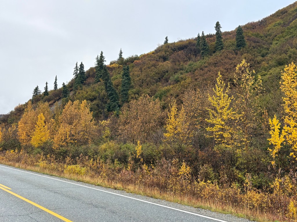
And the hillside right next to the highway kind of closed in for a short while.
(Continued in next post)