September 21, 2025
Here are more of the things I saw as I drove south on Hwy 4.
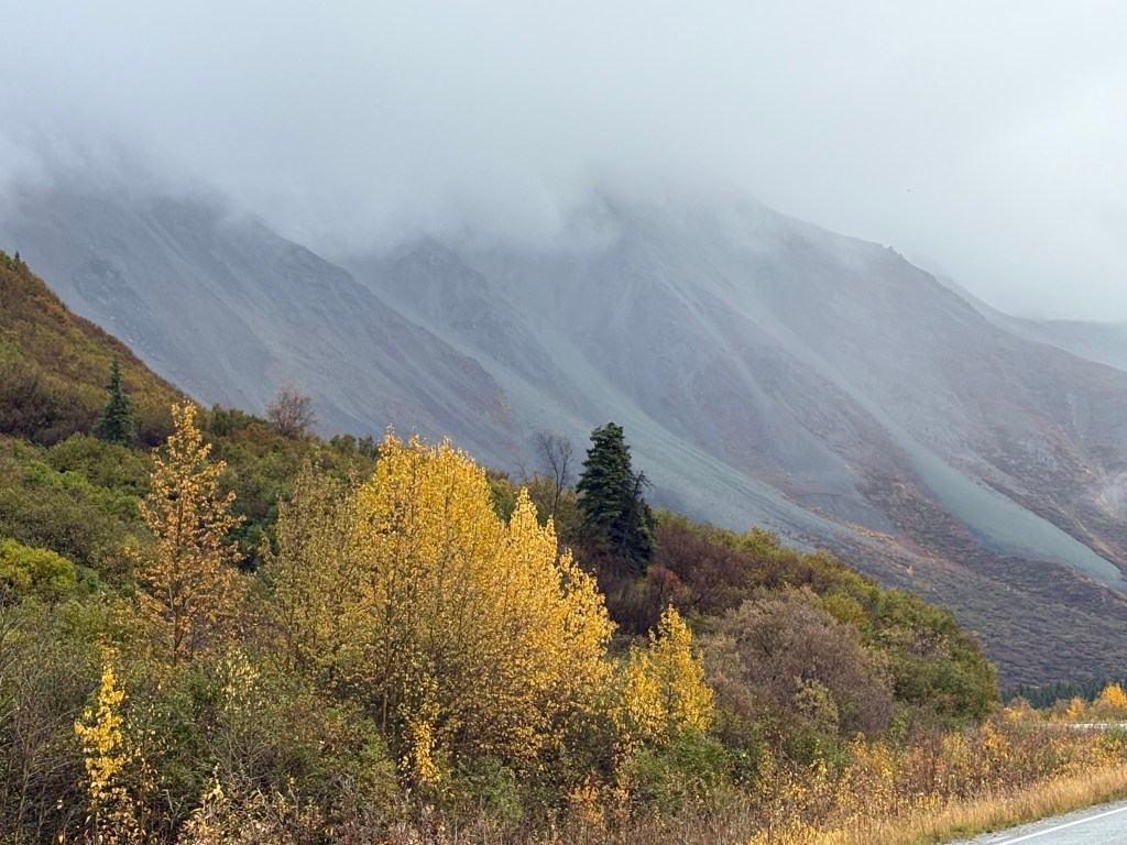
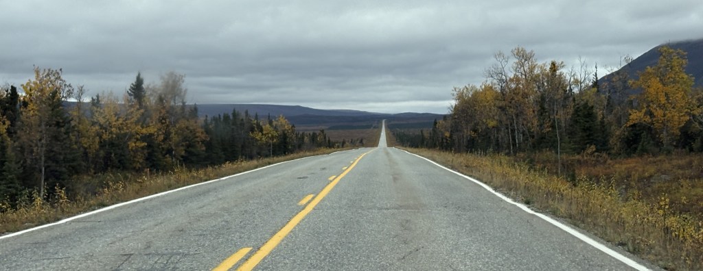
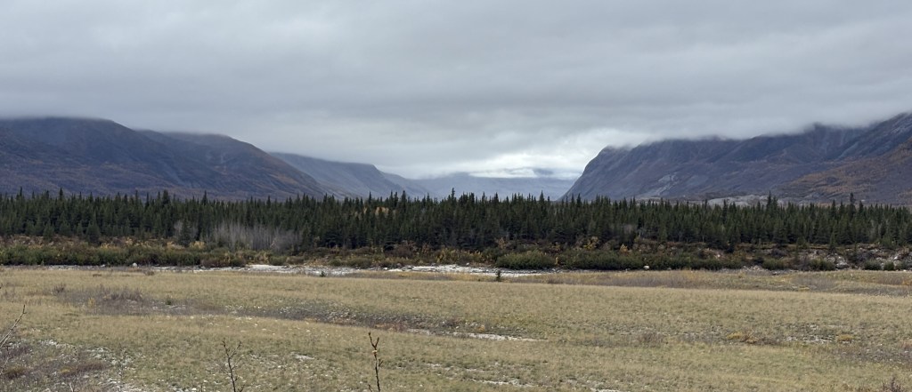
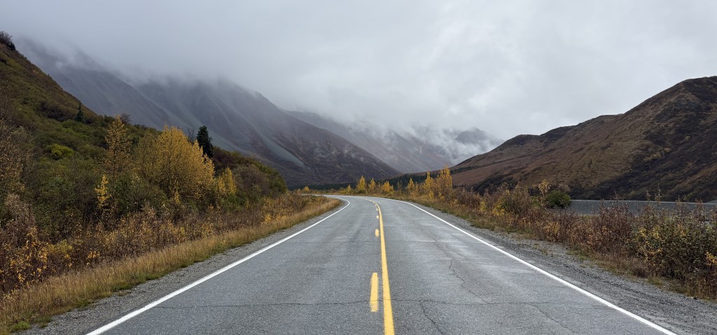
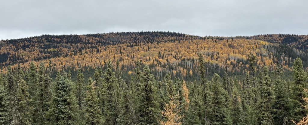
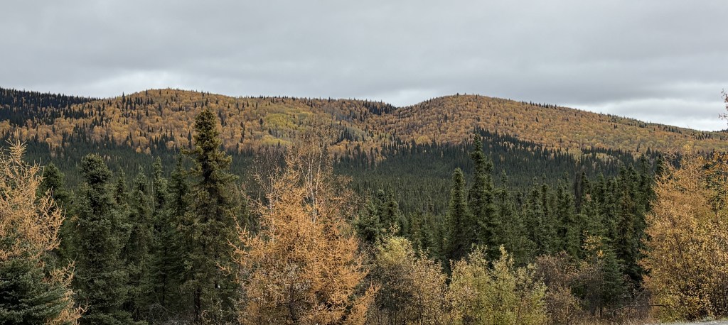
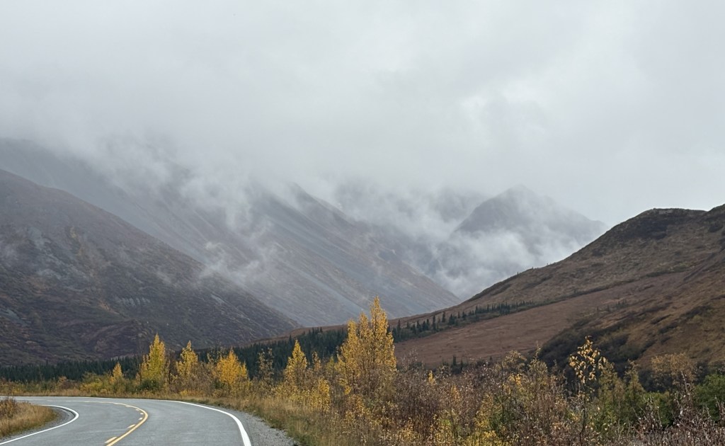
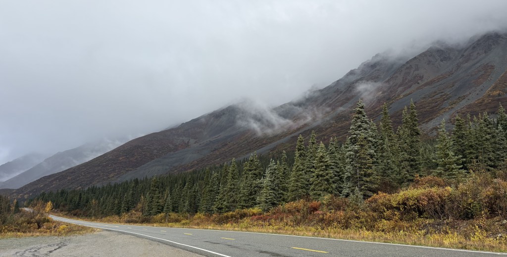
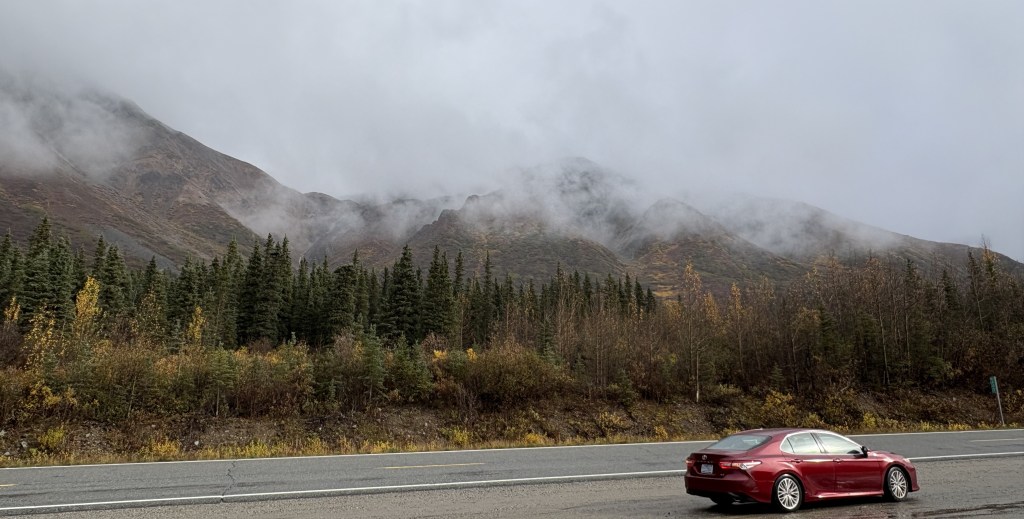
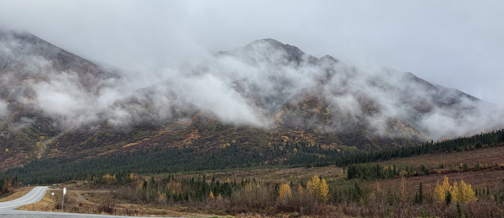
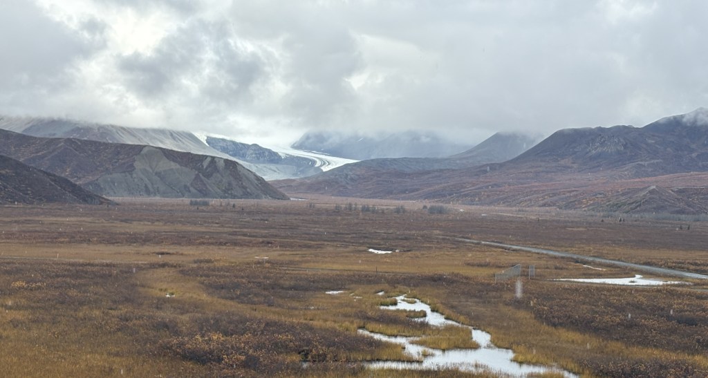
I was approaching some relatively tall mountains just off the left side of the road. The low clouds kind of swirled around and one or two times that I stopped to take photos I just stood and watched them for a few minutes. With no one else around it sometimes felt kind of spooky.
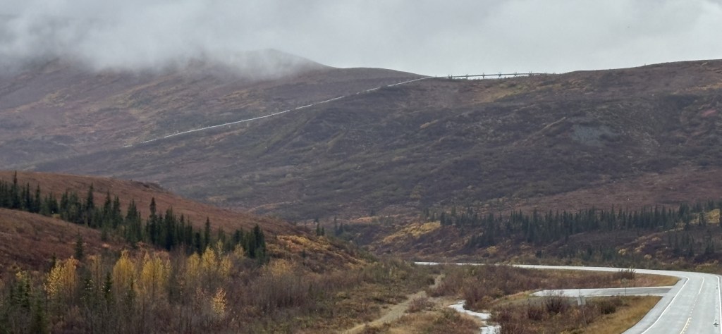
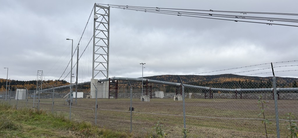
I spotted the Trans Alaska Pipeline, this time off to my right.
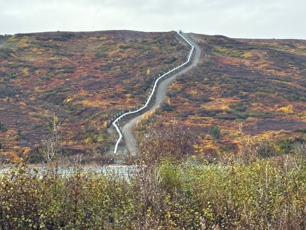
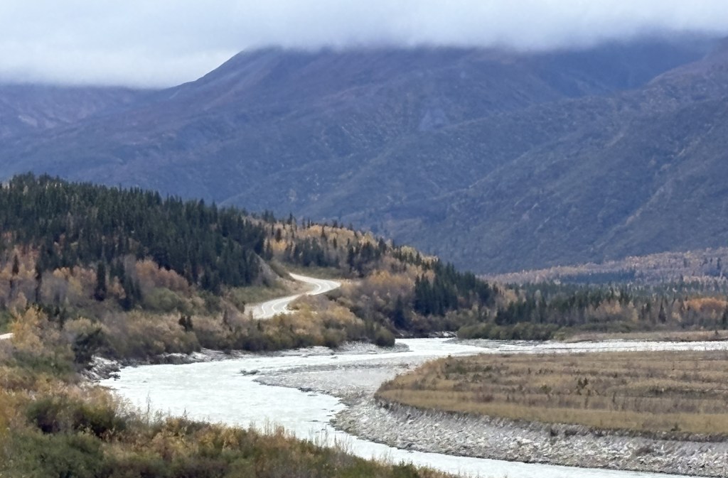
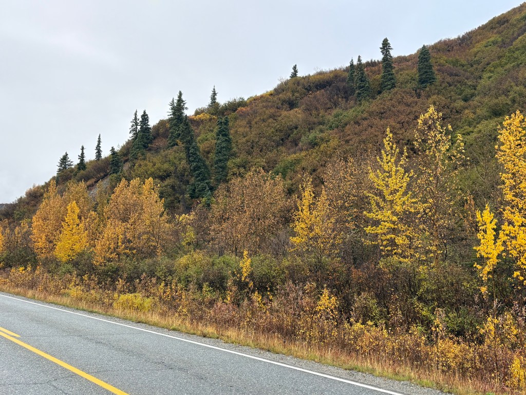
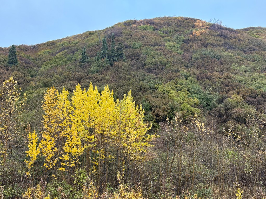
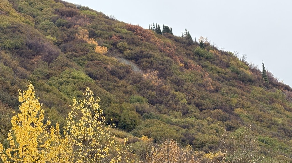
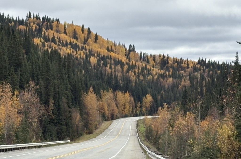
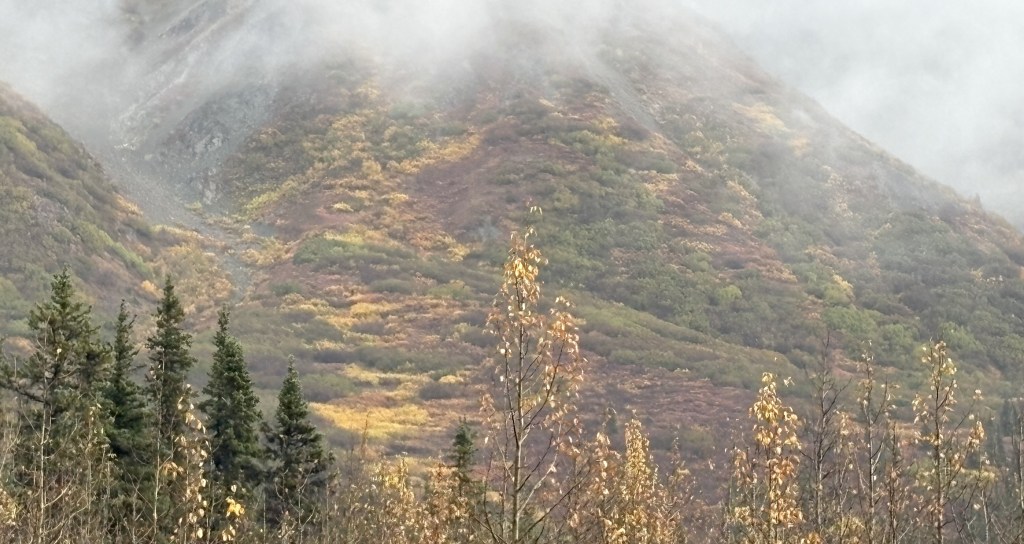
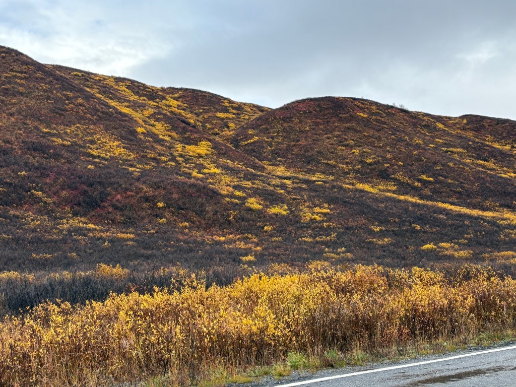
Further up the road the pipeline came down the hill to a river and then went underground. You can also start to see more of the multi-colored vegetation I mentioned in a previous post. There will be places on this stretch of road where it comes very close to the highway.
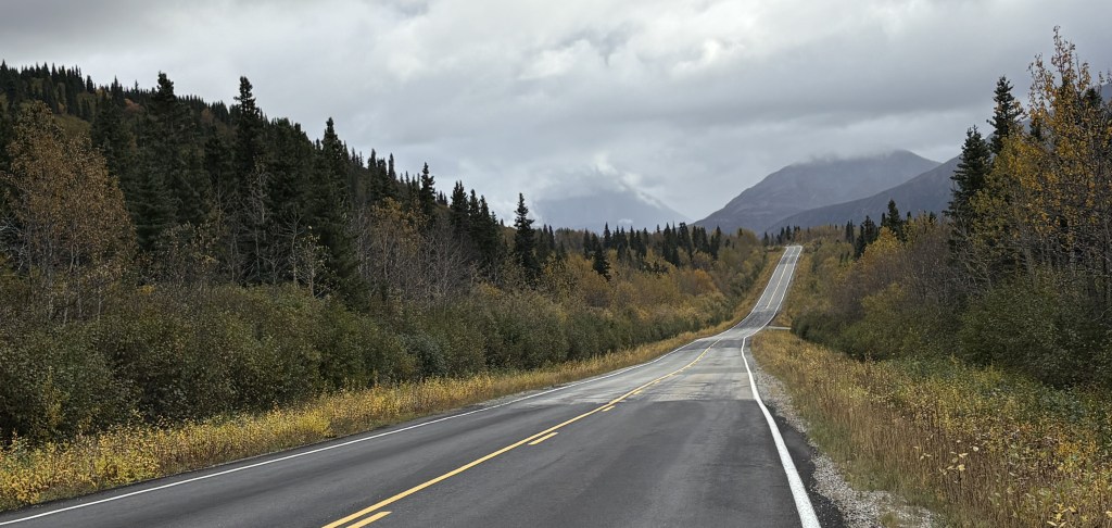
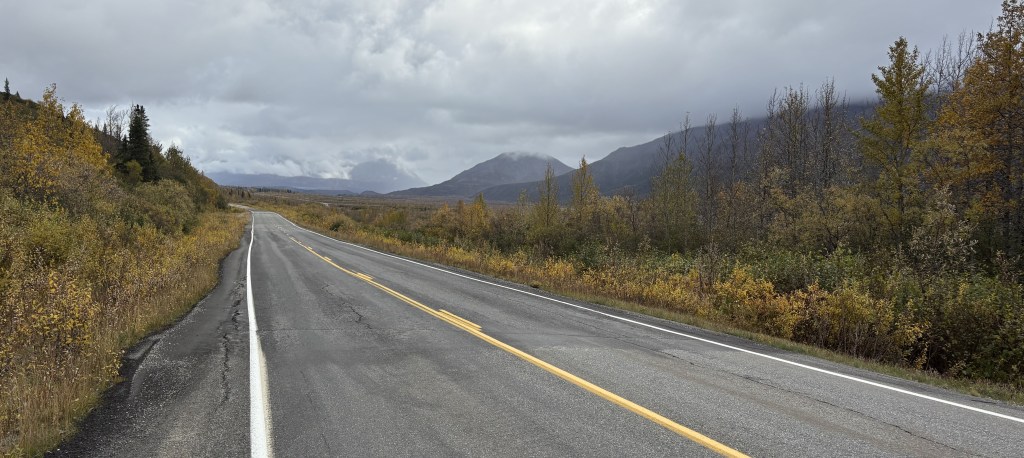
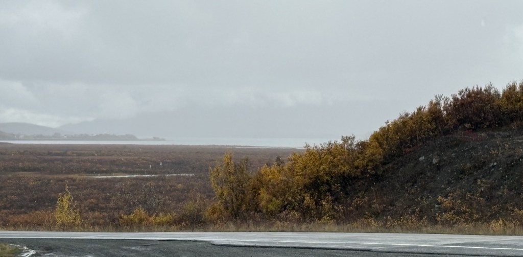
After the tall mountains the area around the road opened up a good bit, though visibility wasn’t very good and it had been raining lightly. I would soon come to a large lake right next to the road.
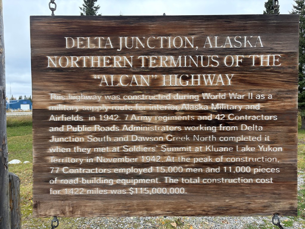
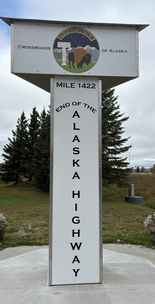
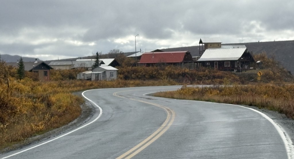
After I passed the lake I came to gathering of houses. There were no signs, and I didn’t stop to explore any. I believe it is the town of Paxson, which is described online as a “census-designated-place” with a last known population of 26. It is the only “sizeable” town shown on the map between Delta Junction and Gakona Junction.
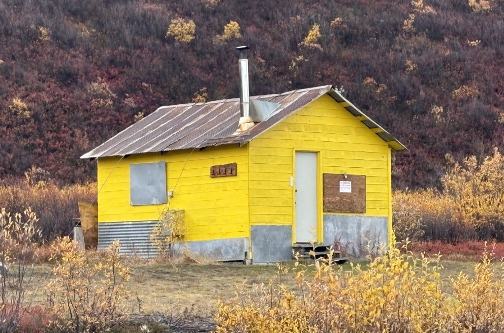
And there was this small cabin standing by itself just after the “town,” but it was boarded up and is perhaps a hunting cabin of some sort.
(Continued in next post)