Fairbanks to Delta Junction – 1 of 2

October 7, 2025

I am going to break up my trip to Tok into two parts – getting from Fairbanks to Delta Junction (which I have done before) and getting from there to Tok (which will cover new turf). I took lots of photos of several mountain ranges and will post them in a somewhat different manner.

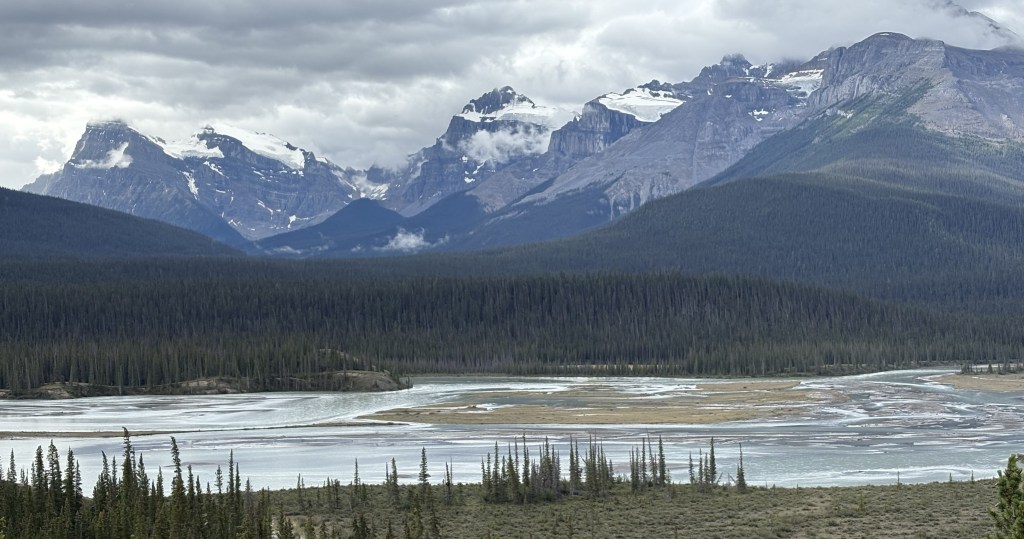
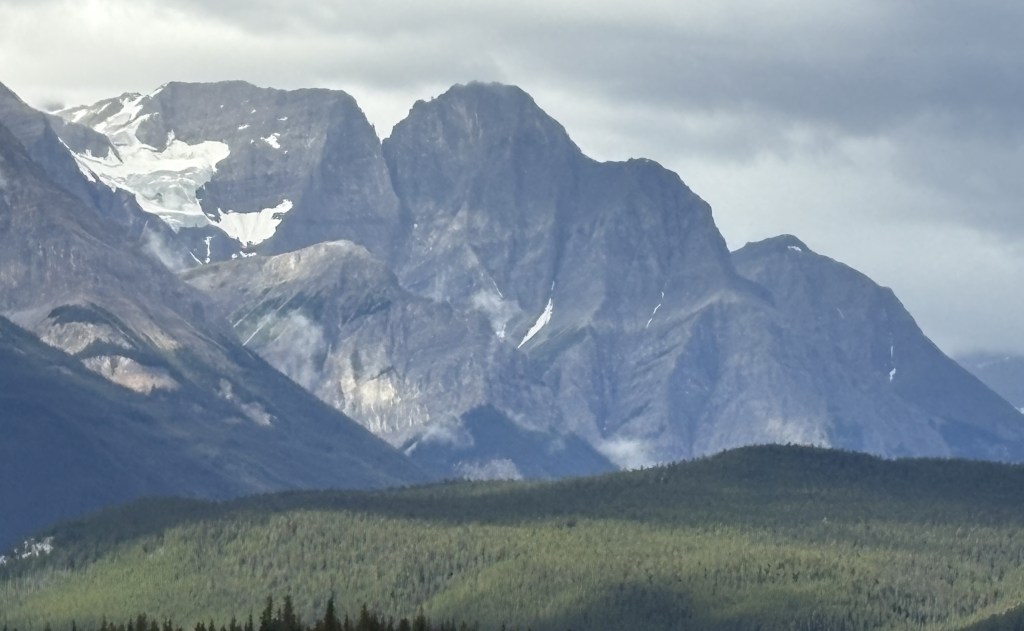
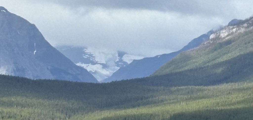
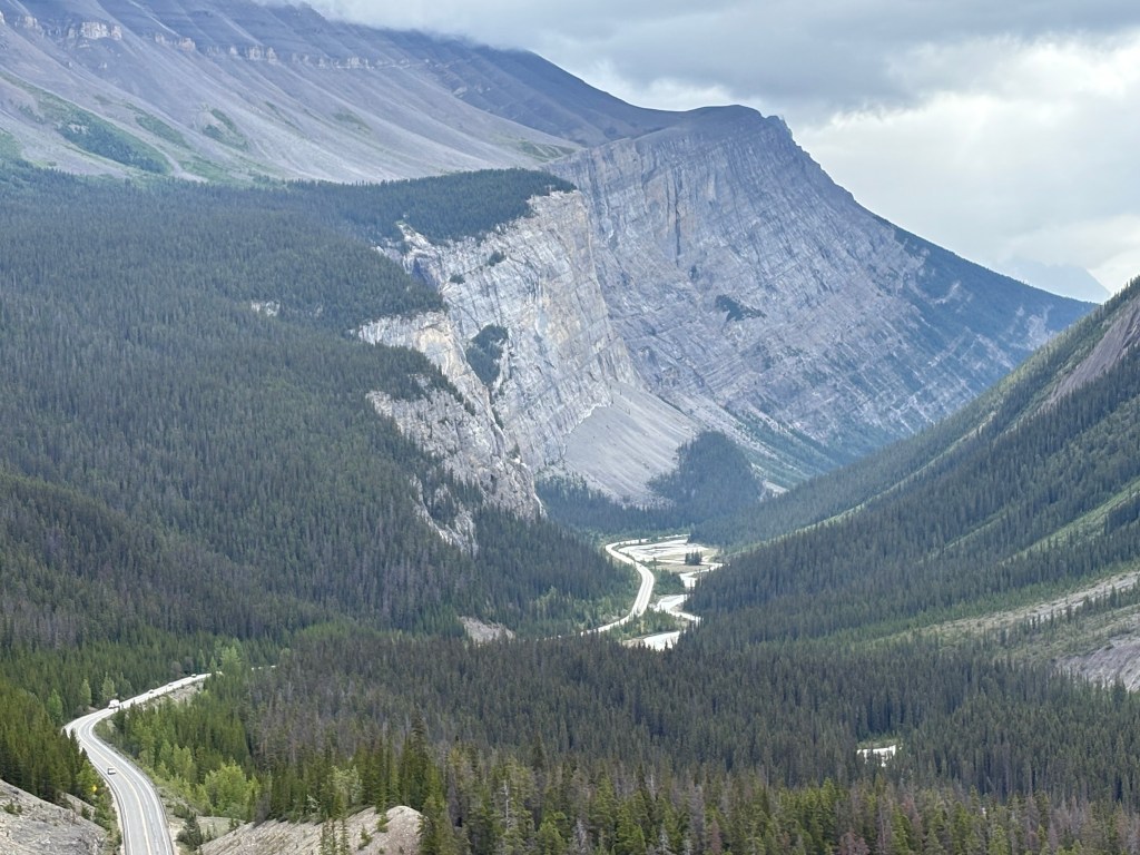
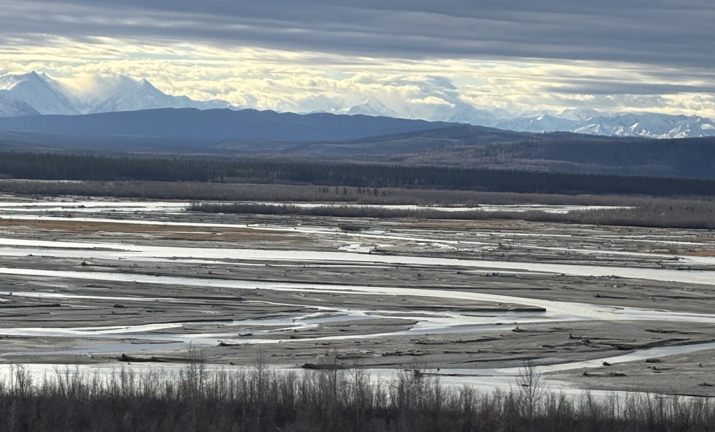
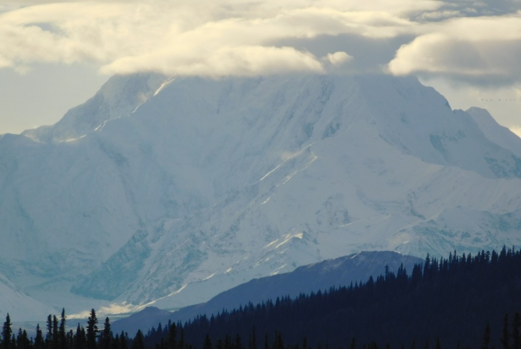
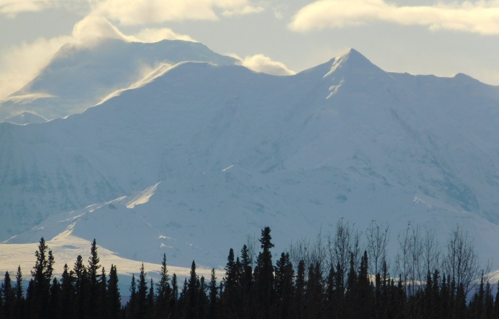
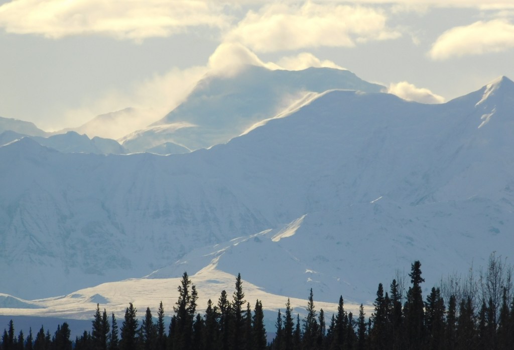
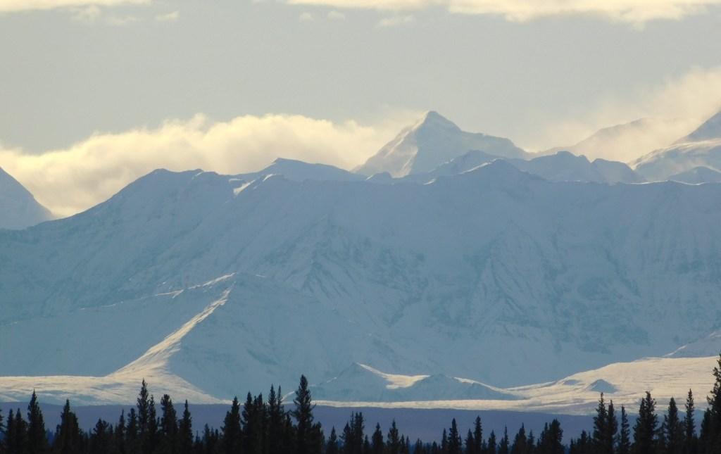
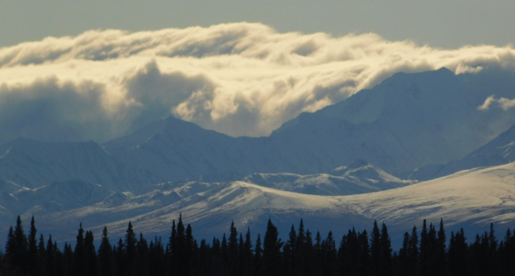
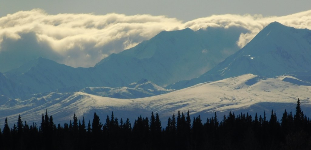
The first set will be of mountains that were to my right, looking across a wide river which I posted photos of when I made this trip the first time. It will start with a few photos I took with my iPhone that will create a “panorama” from left to right when viewed in sequence. There are two sets of three, which were taken 1 hour and 16 minutes apart, so they were from slightly different vantage points on the highway. The second set of three will then be followed by 28 photos taken with my digital camera zoomed in to show detail of the terrain, depth of view and snow cover. There may be some duplicates, and you will see some “overlap” as I moved the camera from left to right (i.e. what is on the right side in one photo may be in the center or left side on in the next photo). I am pleased with the quality of the digital photos so am just going to post them all.

Here is the first set of three, taken at 103pm. Again, these create a panorama effect, from left to right, when viewed in sequence.

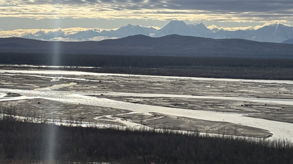
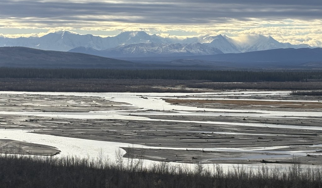
And here are three photos of the same mountain range, taken from further down the road at 219pm.

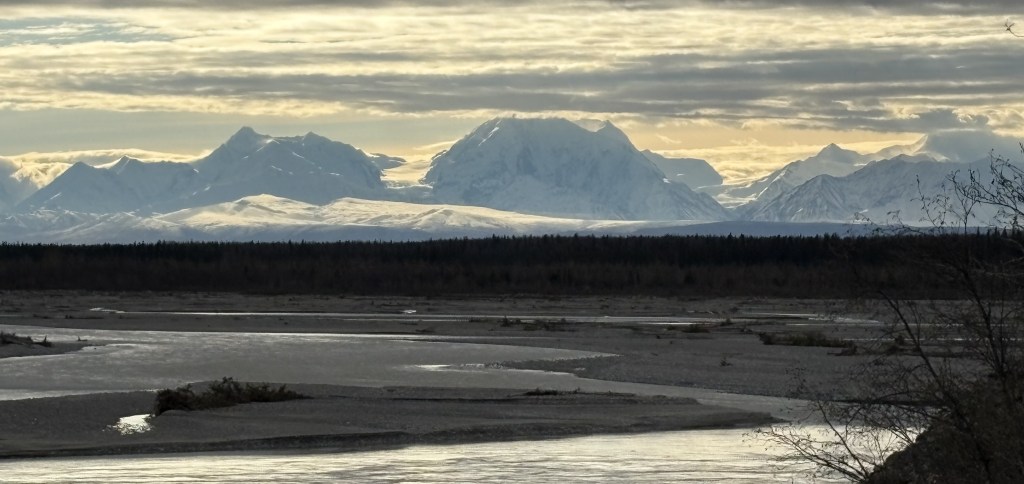
Those three don’t show the entire mountain range but it appears the road I was on had taken me closer to the mountains. This was the vantage point from which the digital photos were taken.

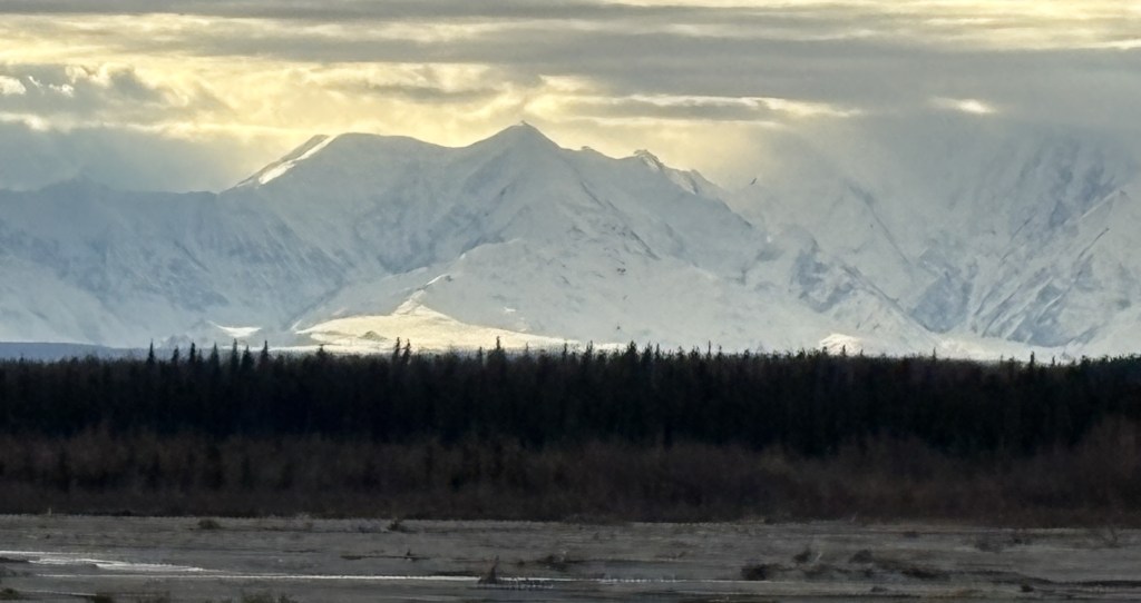
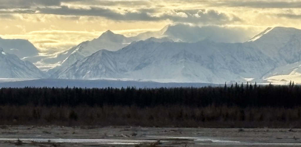
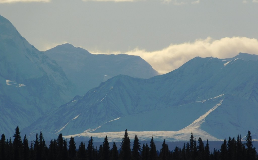
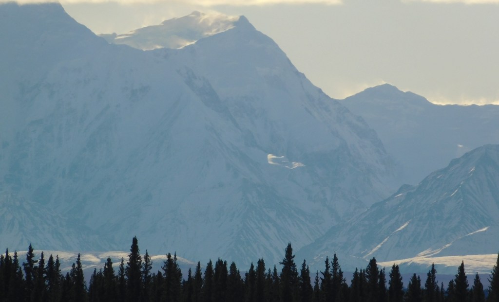
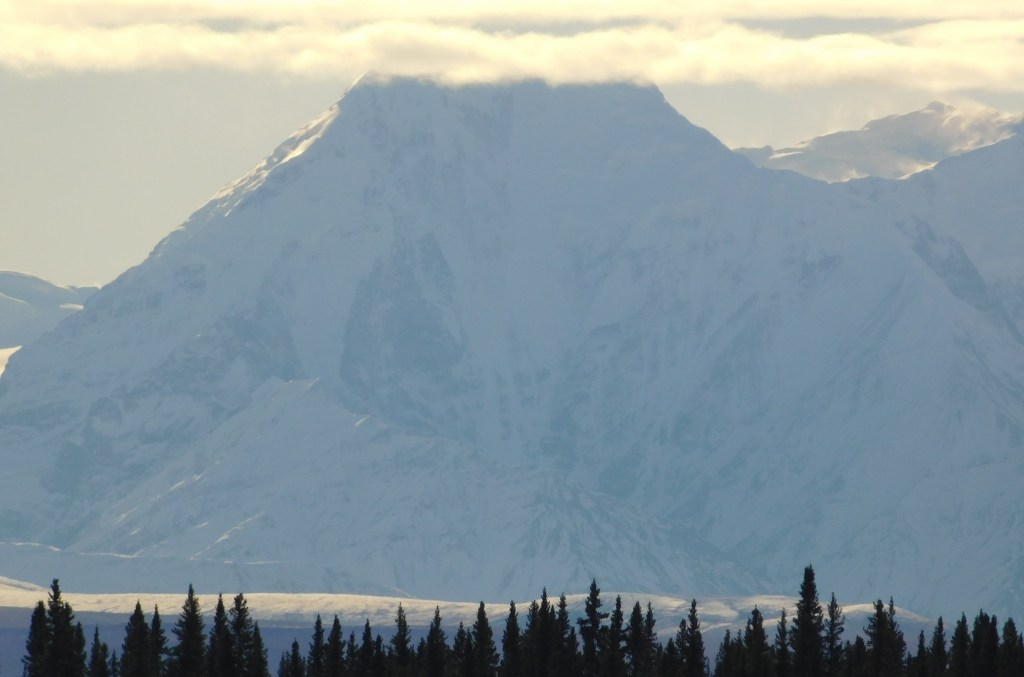
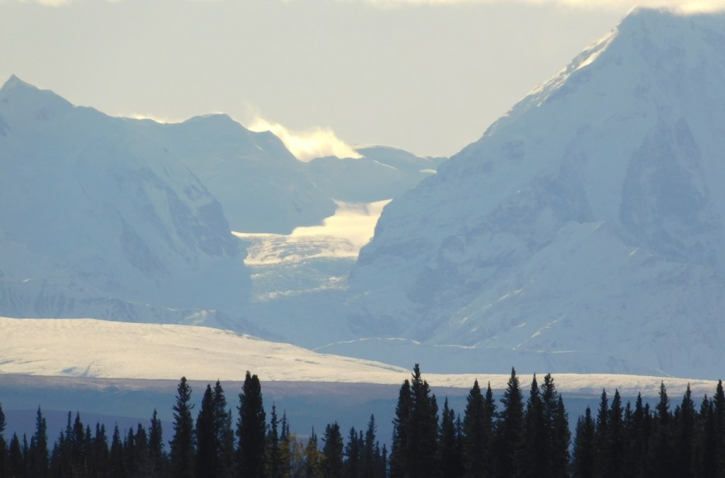
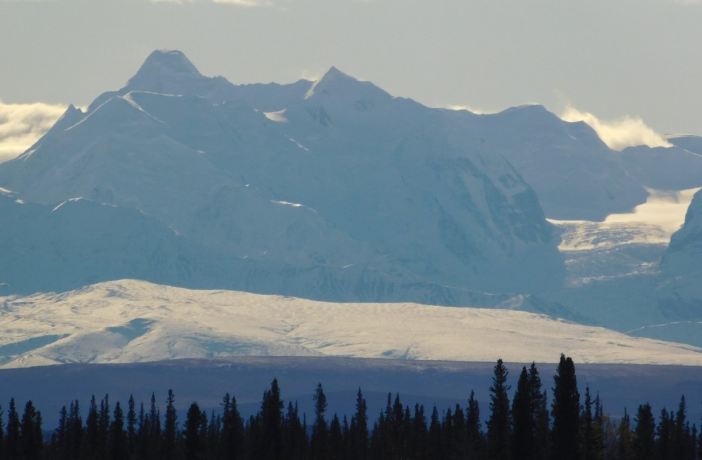
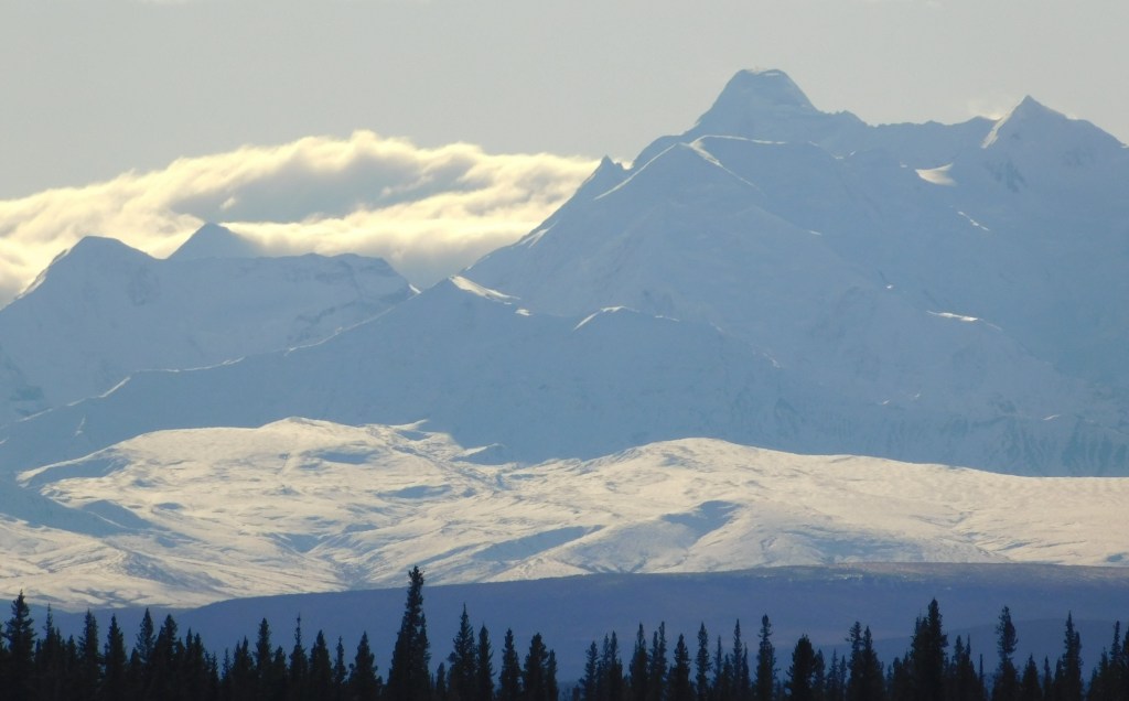
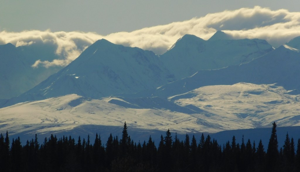
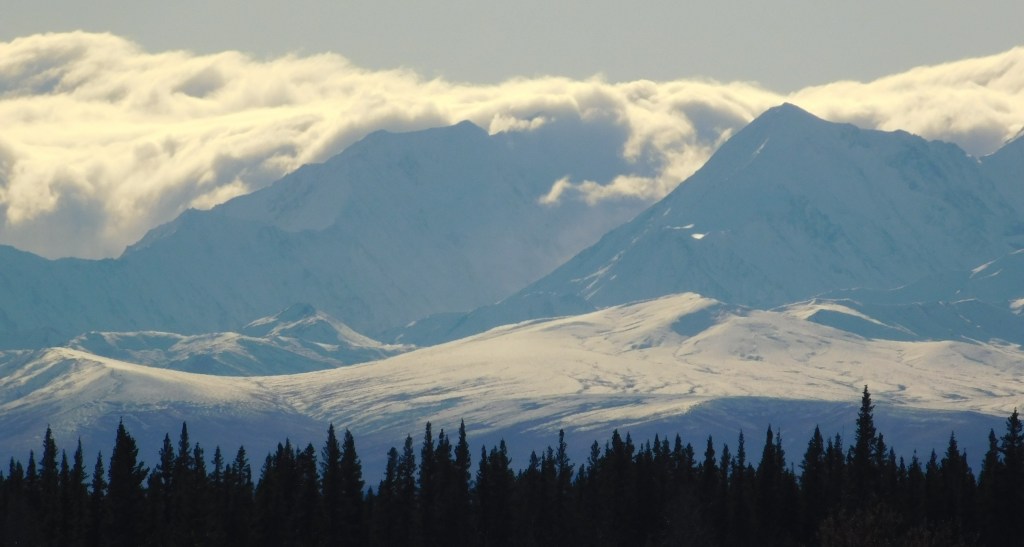
I will now post the first 14 photos taken with the digital camera. The following post will include the second group of 14 photos. My intent is for you to view these photos on a standalone basis and just take in the variety of terrain in each of them.

These are in random order and don’t necessarily follow the left to right viewing scheme.

Continued in next post.

Golden to Jasper NP – getting to the Icefields Parkway

August 8, 2025

Almost all of my drive northward to Jasper National Park involved driving on Highway 93N, which I turned left onto after having driven northeast through Yoho National Park when I left Thursday morning from where I was staying in Golden. The photos I posted previously of several lakes (Herbert, Bow and Peyto) and mountains were actually taken in Banff National Park, a large section of which I would drive through to get to the Parkway. As I post this next set of photos I realize I am STILL in Banff National Park and am still making my way north towards Jasper NP and the town of Jasper. Once I cross the line into Jasper National Park the road will become what is called the Icefields Parkway, so named because of the many mountains which have snow and ice packs (glaciers, or ice fields) on their higher elevations year-round, including these mountains which are still in Banff NP.

The day started out cloudy, and with some low clouds near the mountains. It was rather cold and windy which made it feel quite raw. Here are some of the many glaciers I saw as I drove north.

A closer look at two of the peaks in the photo above from a slightly different angle:

Again with these mountains, it is hard to name names and give elevations because there are rarely signs identifying them. There are two very large icefields I will come to that definitely have names and are the main focus of specific tours which take paying customers directly to them, or to an exclusive observations platform which allow them to take photos. I will point them out when I get to them in the next post.

This is looking back after I started climbing the road through Wilcox Pass:

Driving north through Sunwapta Pass and Wilcox Pass will result in an overall altitude change and will also signify the transition from Banff NP to Jasper NP, and the official start of the Icefields Parkway.

A little color at the viewpoint from which I took the preceding photo:

And a big fat crow, sitting on the ground watching all the tourists getting out of their cars and taking photos of the view looking back at the lower elevation we had just come from.

And a wider view looking back. These photos were all taken August 8, about a month ago as I actually post this. As you can see it was an overcast, albeit clear (air-wise) day. I drove through this same area a few days ago in slightly less ideal conditions due to wildfire smoke which is now being thrust into British Columbia and the Candian Rockies from other parts of Canada, and took more photos which, when it comes time to post them, will show a slightly different look.

Even in the less than ideal conditions cloud-wise, I was glad I got here in early August when I did.

Up next – The Columbia Icefields