October 10, 2025
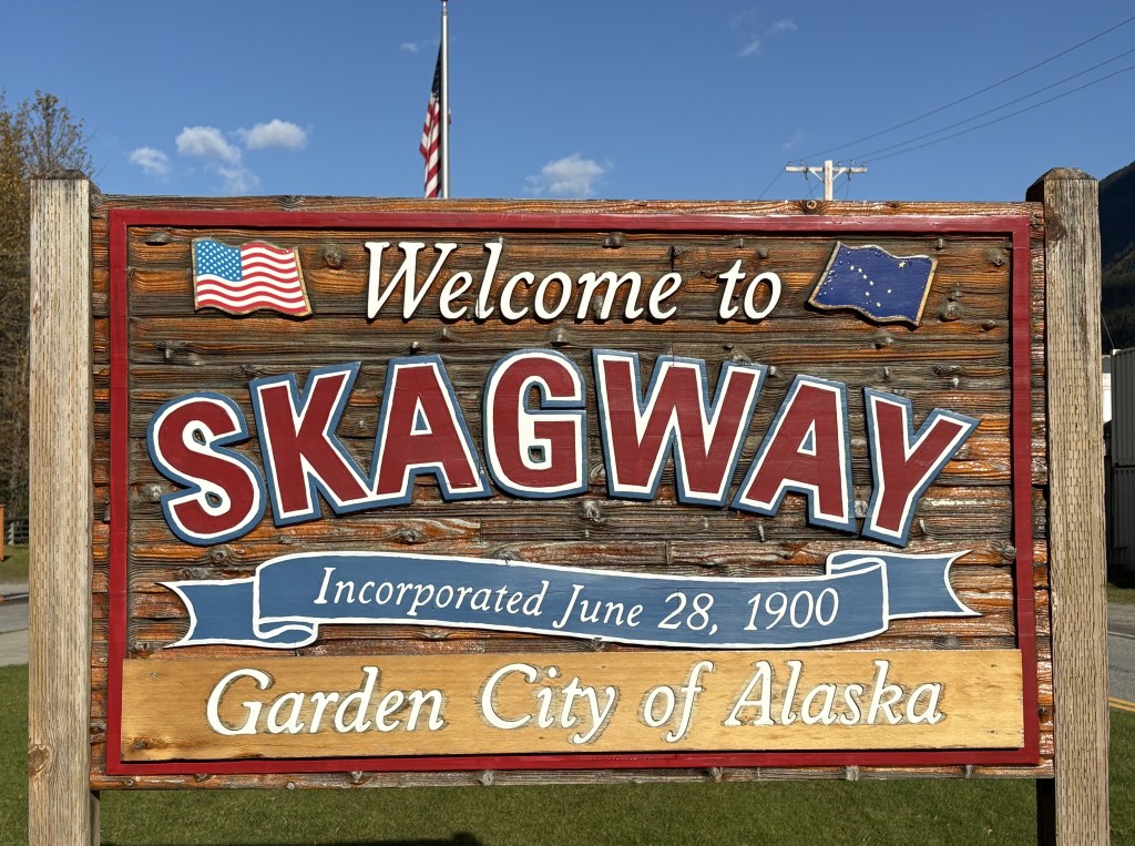
This is my last stop in Alaska. Skagway (and Haines) are located at the top of the panhandle of Alaska, which then proceeds southeast to Juneau and Ketchikan. There will be a map below which will show the area.
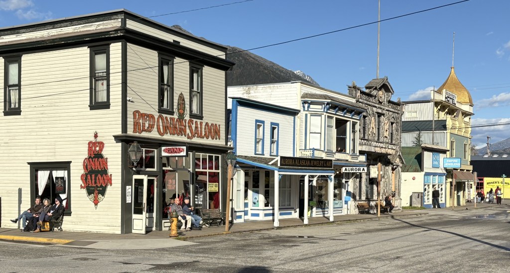
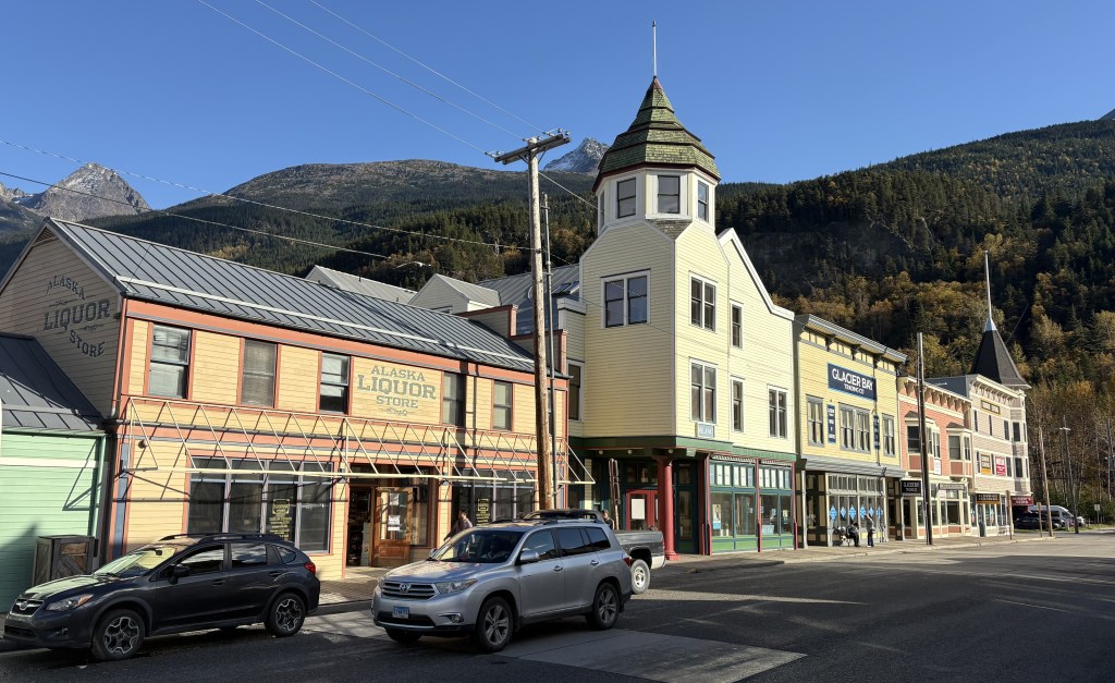
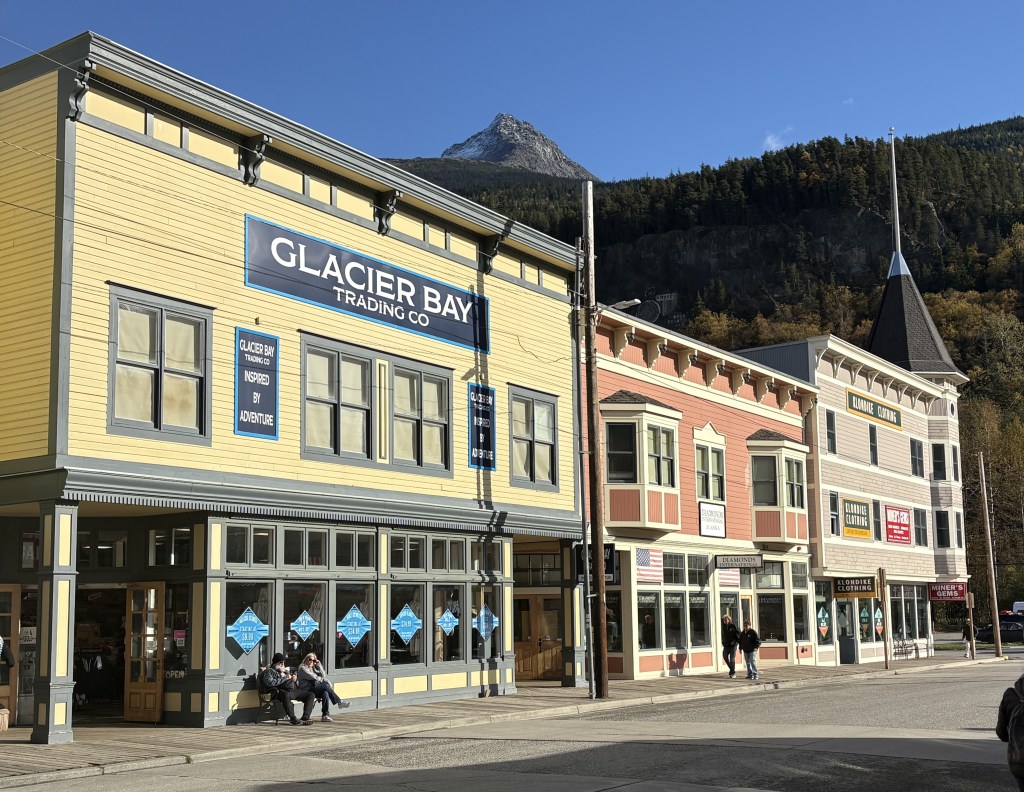
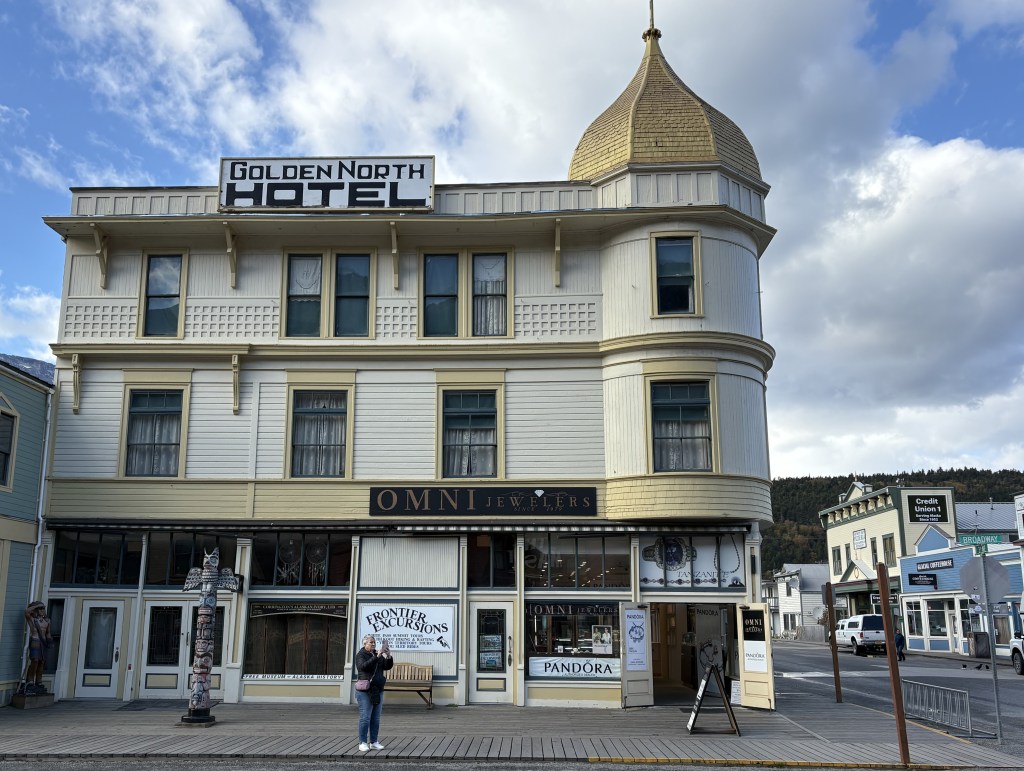
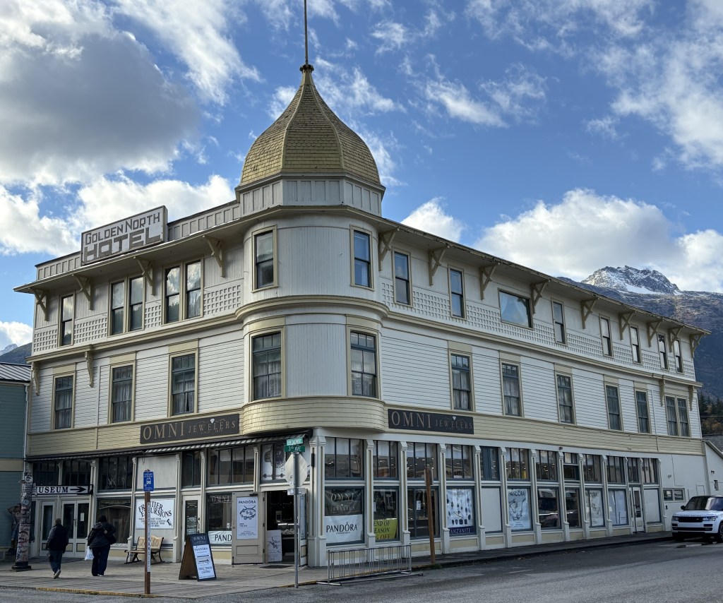
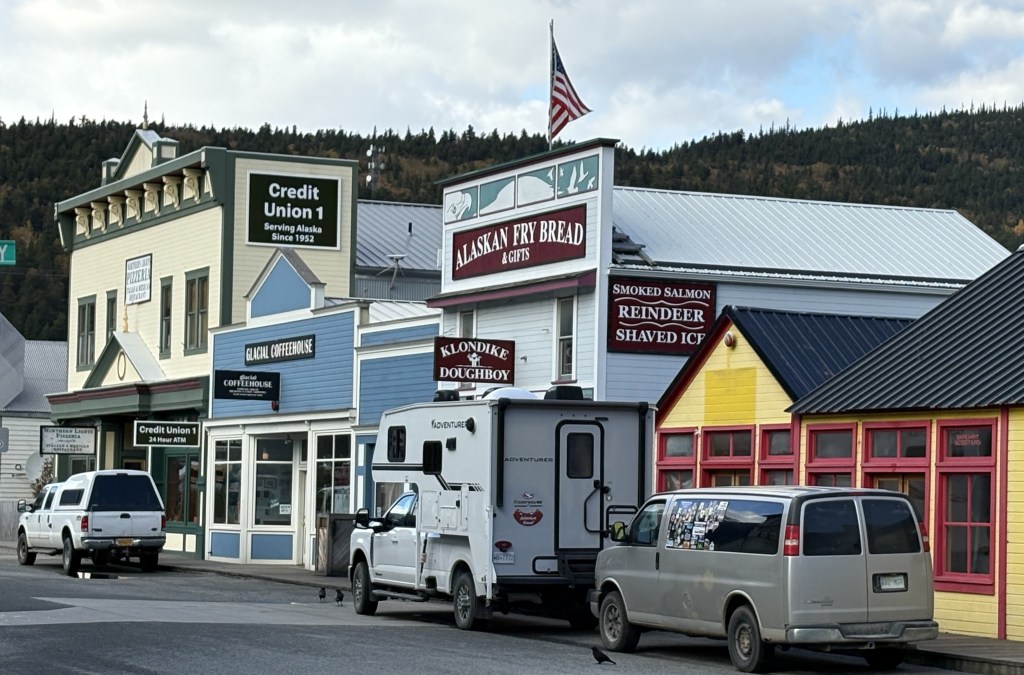
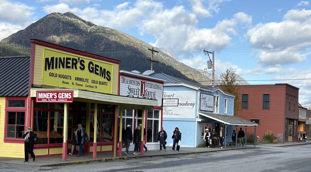
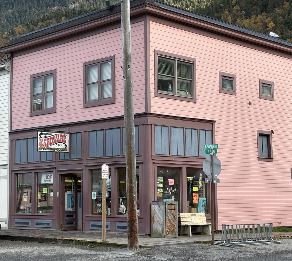
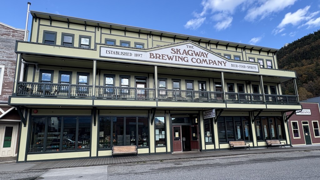
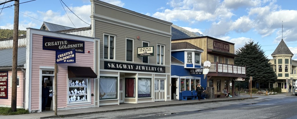
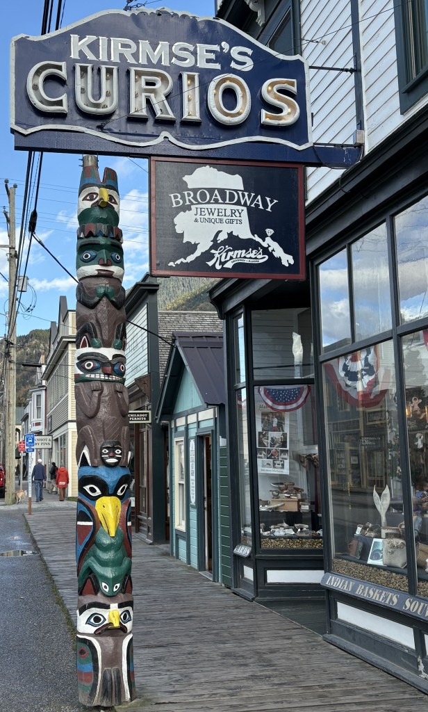
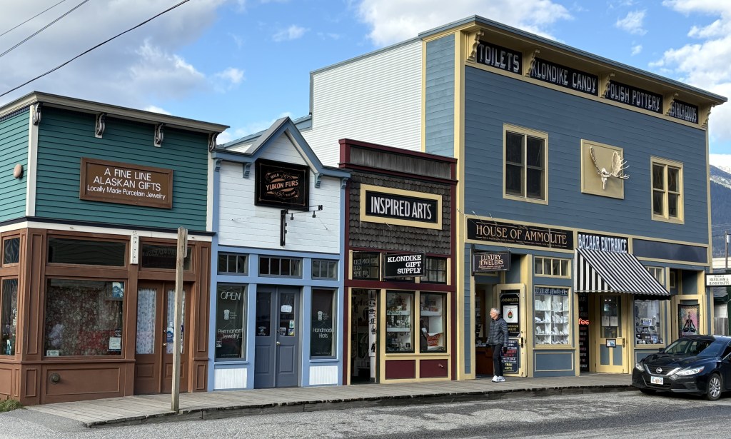
Skagway is about half the size of Haines, with a permanent population of around 1,200 people. It was a “Gold Rush” town, and some of the buildings here date back to that timeframe. It is a popular cruise shop port and consists mainly of retail and gift shops, restaurants, museums and jewelry stores. Summer activities include a steam railroad ride up into the mountains, which is apparently very scenic.
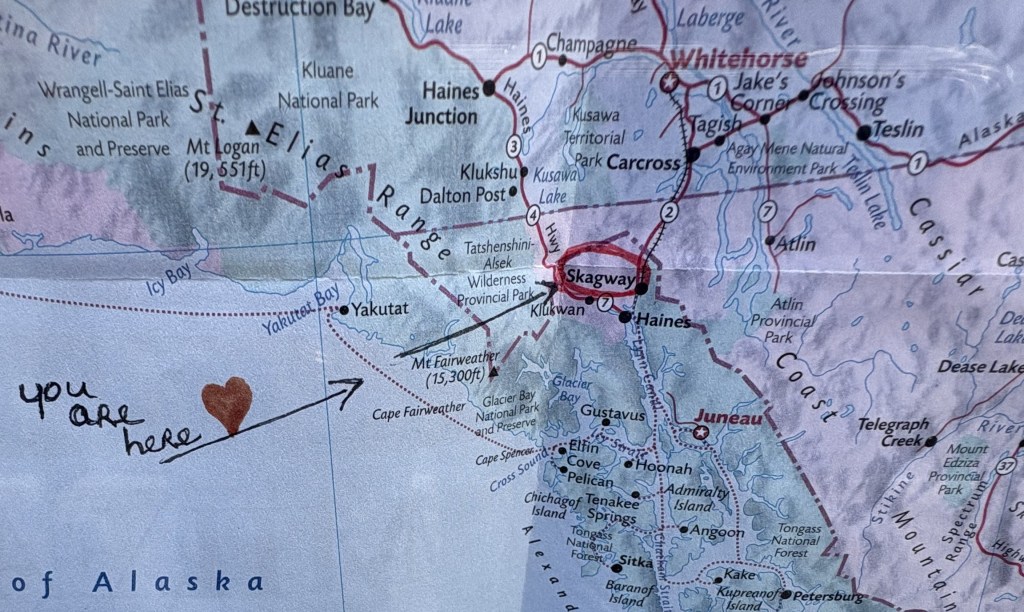
(Photo credit: Unknown. This is a photo I took of a map through the window of a gift shop, and it already had the notations on it.)
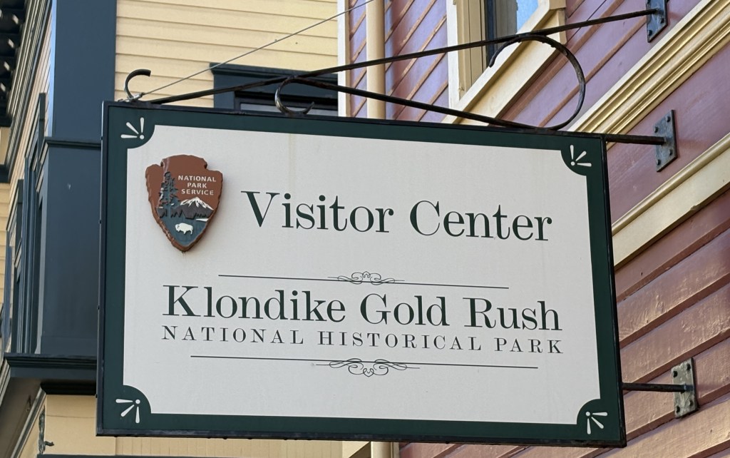
This visitor center was closed for the season.
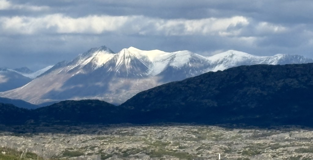
After my walk around the shopping district I had lunch and then headed north towards Whitehorse in the Yukon Territory. The drive covers 110 miles and is supposed to take about 2 1/4 hours (without stops).
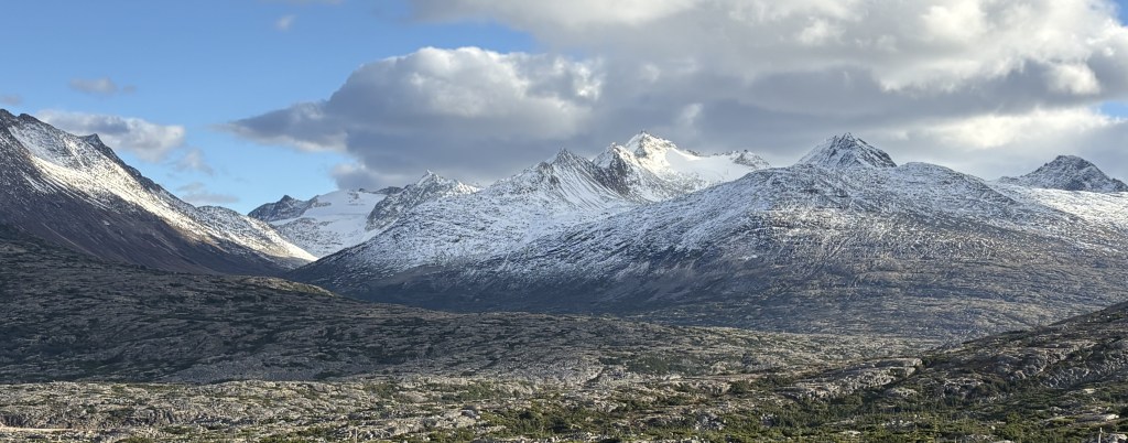
Here are some of the things I saw during the drive.
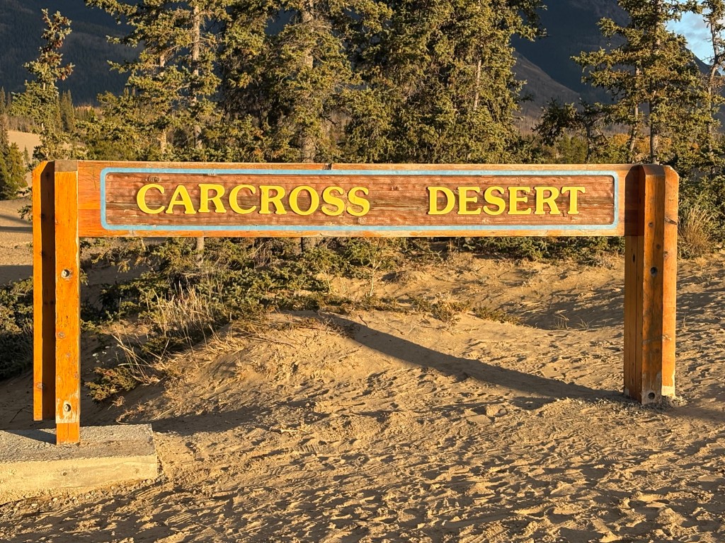
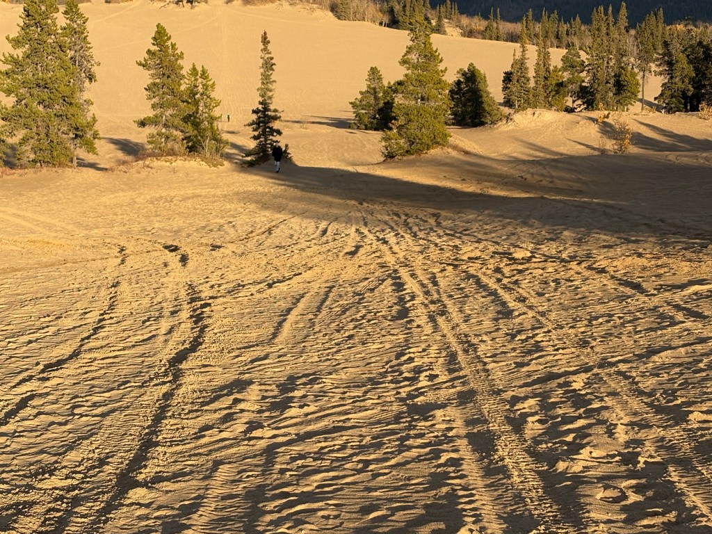
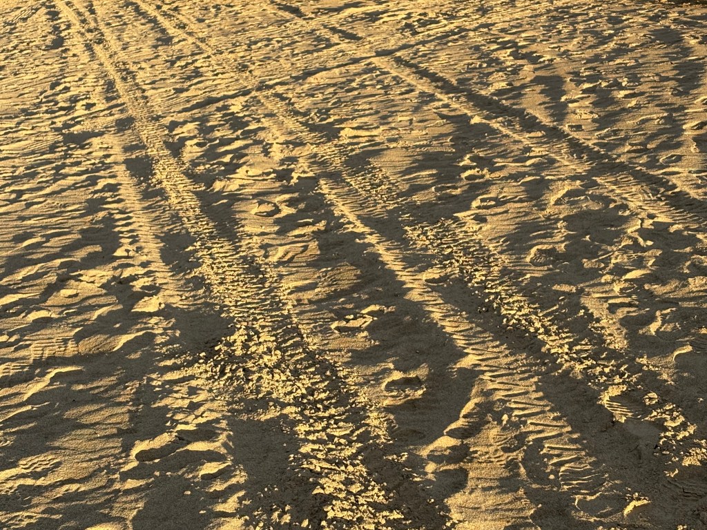
This was a place the woman at the Radio Shack store in Haines told me about. It is in the tiny town of Carcross in the Yukon Territory and she said her dog loves it.
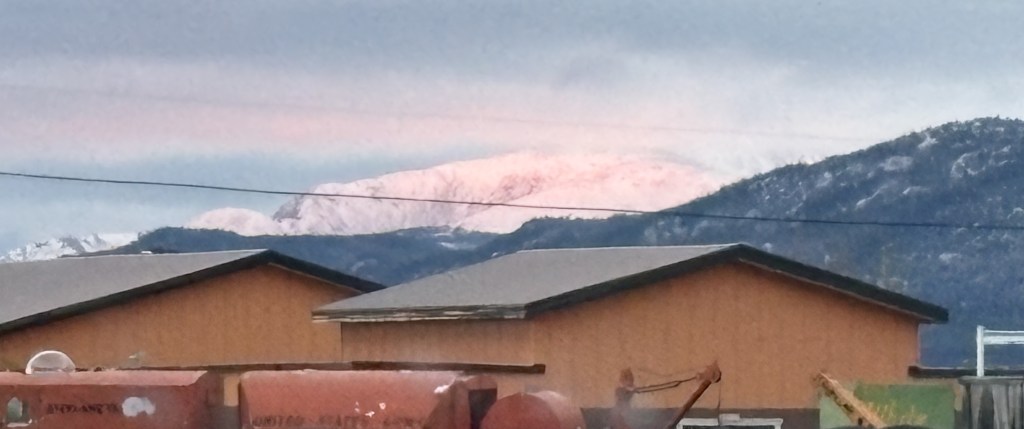
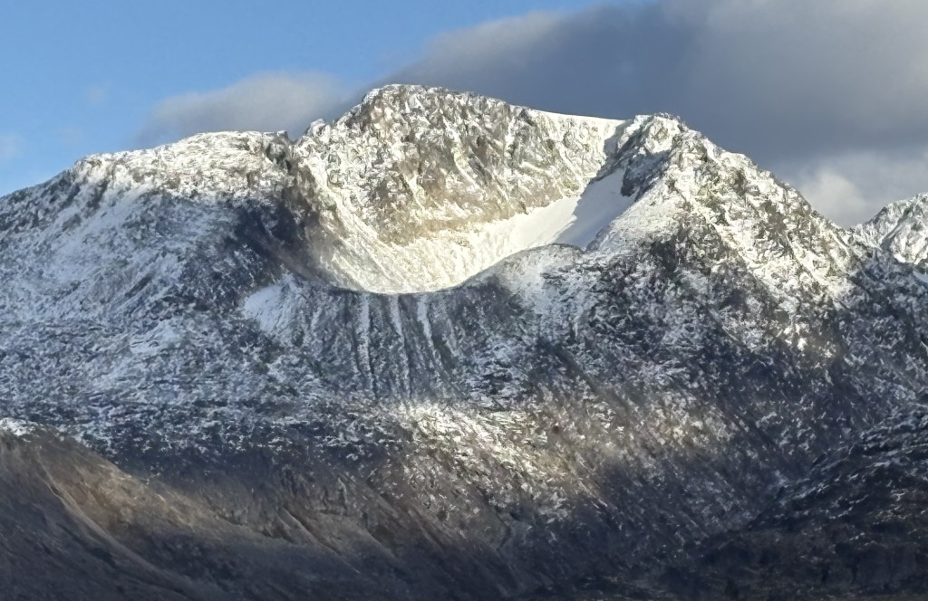
The photo below was taken as I was driving west on the Alaska Highway, approaching the Whitehorse airport. It was partially overcast and the sun was about to set. Evidently the sun’s rays were reflecting off the clouds onto a snow covered mountain, creating a vivid pink coloration on the snow. Unfortunately, I saw it while I was driving and by the time I got to a safe place with a view where I could stop the color had diminished significantly. Believe me – it was much more vivid when I first saw it.