Before leaving White Bird I decided to drive up the “old road”. Highway 95 used to go right through town until the new White Bird Pass opened in 1975. The old road is still there and meets the new road before reaching the old summit. It didn’t appear that the old road beyond that was accessible (it went about 200 feet higher).
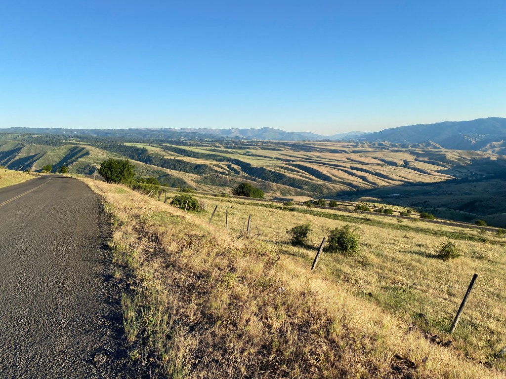
The old road was a very slow climb, utilizing long, lazy switchbacks. There were still some old guardrails on some of the sharp curves, although they didn’t look very sturdy. Many of the turns had no guardrail at all, nor did the long straightaways. The road is quite narrow and I wouldn’t want to meet a tractor-trailer going the opposite direction on a curve (or be behind one going up). There were no turnout areas for disabled vehicles. There were very few trees.
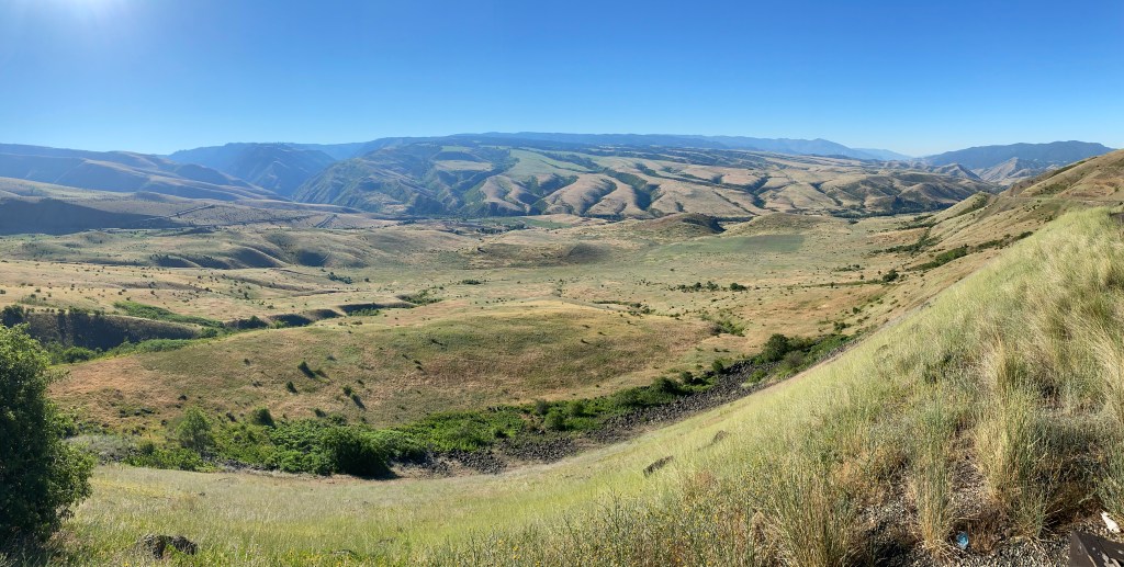
I drove all the way up (to where it meets the new road), then stopped at various places on the way down to take pictures. I never met or saw any other vehicles and I will say that the views were spectacular.
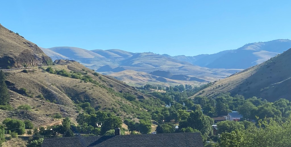
The photo above was taken at the turnoff from Highway 95 to the town of White Bird at the base of the mountain. You can see the new highway starting to climb the mountain on the left side of the photo. Way off in the distance, above the town itself and in the center of the photo, you can make out some of the switchbacks of the old road zig-zagging left and right.
The rest of these were taken from near the top as I started to drive back down towards town:

Once I came down the hill a ways this was the view looking back. At the top you can see where the road makes another turn left. In the lower part of the photo you can see a private dirt road leading off to where someone may have lived or had farmland.
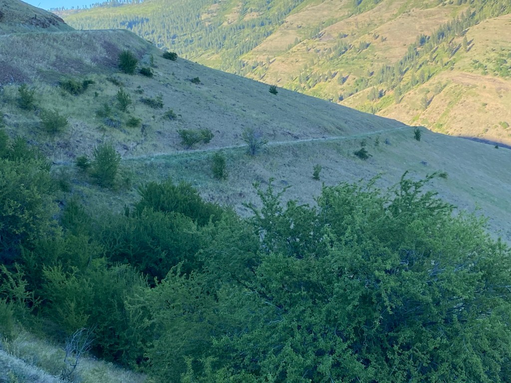
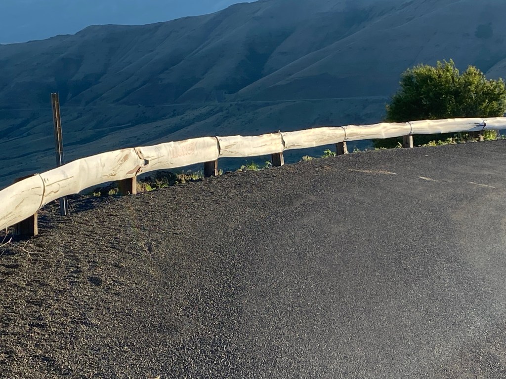
In the center of the photo below you can barely see the white guardrails on two left-hand turns further down the hill.

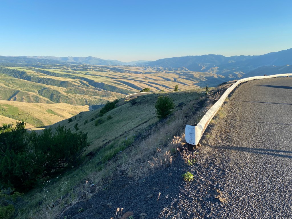
This was looking back at a right-hand turn I had just come through as I descended:

And this was looking ahead at another right-hand turn as I went further down. Note that there are no guard rails at either turn.

There are a few videos on YouTube of vehicles climbing the road. The best one is from a blue pickup truck and runs a little over 7 minutes. Another was taken from a motorcycle and runs about 10 minutes, but the quality on it isn’t as good. There is also at least one video titled White Bird Grade but it is actually of White Bird Pass (the new road).
There is nothing up there and no reason for anyone to go other than to enjoy the views, as I did. There were gates at each end to close the road in inclement weather. It would be fun to drive it on a motorcycle or in a sports car. Just be careful not to run off the road as there isn’t likely to be anyone coming along any time soon to find you!