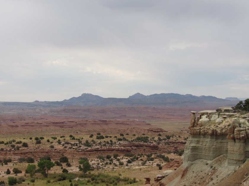
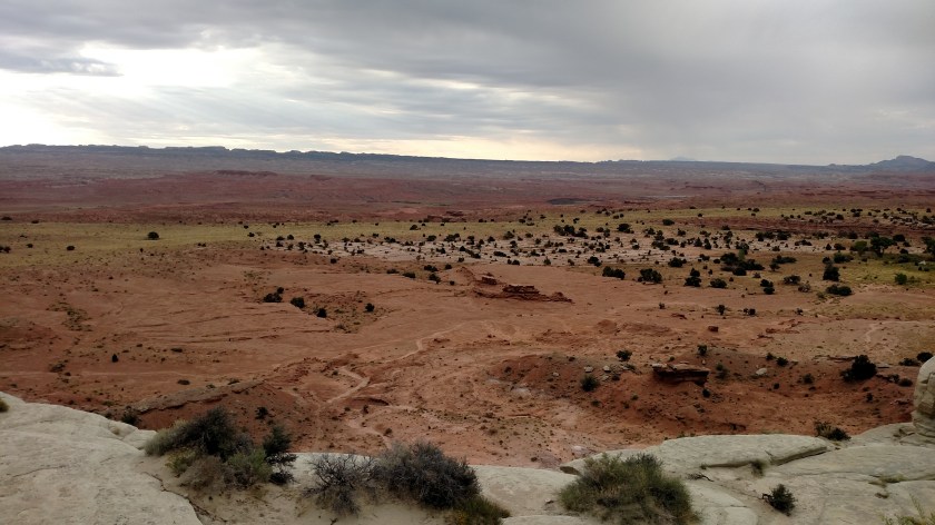
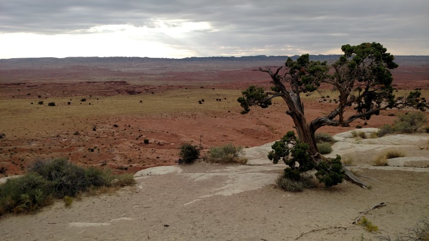
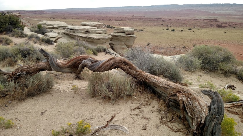
We’ll get to the game (actually more of a contest) in a minute. First let me post some miscellaneous photos from the past two days.
********
The young man (he says he’s still a boy) in the middle is Aidan. He lives in a state west of Utah and was at Arches National Park with his parents. Every time his mother took his picture he’d say “Let me see, let me see”. I offered to take a picture of all of them together (using their camera, of course) at two different spots, and when I finished the second one I asked if I could also take one with my camera so I could remember the moment. Of course Aidan wanted to see it too….

********
Today while I was out of the car taking pictures I saw this in the pullout in which I was parked. Someone will be rifling through their car later today looking for it, I’m sure.

********
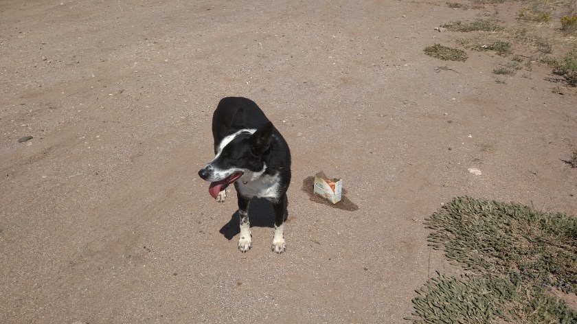
This dog scared me half to death when he emerged out of some low brush along the small back road I was driving on. At first I thought it was a coyote or a wolf. There weren’t any houses around that I could see, and he seemed to be wandering aimlessly, tongue hanging out and somewhat frantic. I rifled through my car trying to find something I could put water in for him. I’m not frickin’ MacGyver so the best I could do was an empty Belvita Breakfast Biscuit box (say that 3 times fast).
BBB’s are my go-to snack when I get the munchies, after I’ve eaten the fruit or veggies I get at the store or Walmart most mornings. Toasted Coconut flavor is the BEST. But I digress….
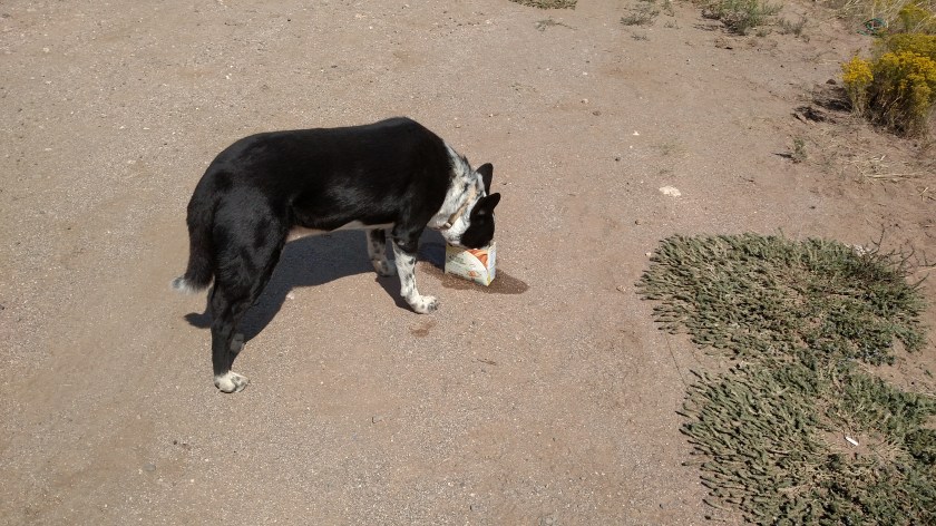
He took a quick drink but seemed more interested in surveying the terrain. As I drove away I saw him in the mirror, drinking the rest of the water. Guess I need to start saving those empty Cool Whip containers…..
********
I saw this guy while I was out of the car taking pictures near Boulder, Utah. He lives in New York State, just across the Hudson River from where my brother Stephen and his family live in Poughkeepsie. He said he was here fulfilling a childhood dream.

********
And now for the game. As I was out of the car and walking through some brush next to the road to get the perfect angle for a picture it occurred to me that it is only a matter of time before I get bit by something. I try to be very careful but I’m actually quite surprised it hasn’t happened already.
I want to get my audience involved so you can play along at home. Everyone has 14 days from when I publish this post to add a comment (click to the left side, under the post title). Guess the specific date (not “today,” Shawn….) that JohnBoy will get bitten by something bigger than a quarter (mosquitoes, ticks, tsetse flies, etc. don’t count). I’ll pay $20 to whoever guesses closest to the date it ultimately happens (unless I need the money for medical bills). And here’s a double or nothing option: State whether or not the critter doing the biting will be bigger than a breadbox. Snakes will be considered smaller, regardless of size (unless it is an Anaconda. I don’t think they have them here in the west but hey, I’ve already seen a camel this trip so never say never).
So post a specific date to play along. Add Bigger or Smaller if you want to try and double the payoff (or lose it all if you’re wrong).
And we have our first entry, so I need to add two rules. In the event of multiple correct guesses the first commenter wins. And the contest ends after my last official “tourist” stop, probably near Denver. Once I start heading east to visit family and friends those days don’t count.
One more rule. The commenter (or pets or people acting at their direction) don’t count. Gotta cover all my bases…
No purchase necessary. One entry per person. Void where prohibited. Odds of winning depend on the number of entries. Good luck.