Haines Junction, YT to Haines, AK

October 9, 2025

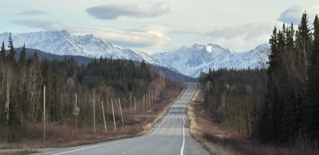
After spending the night in Haines Junction I filled my car with gas and headed south towards Haines, Alaska. The drive is a little under 3 hours, and will involve another border crossing.

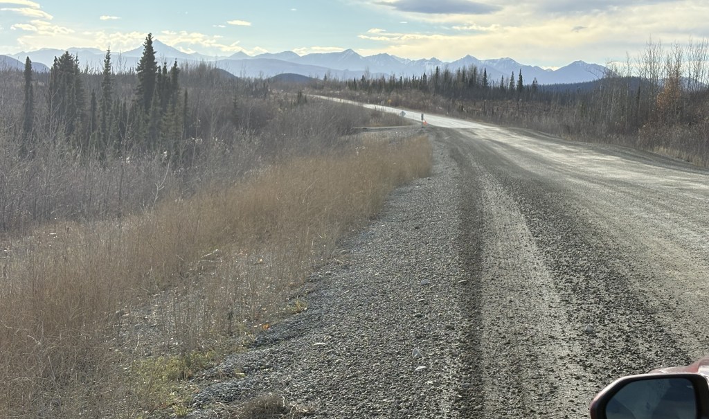
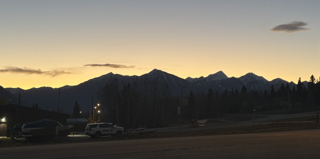
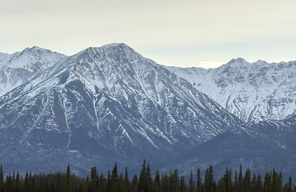
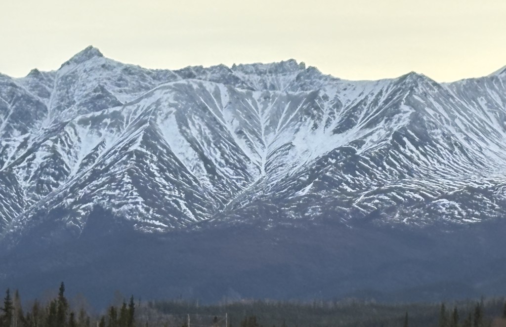
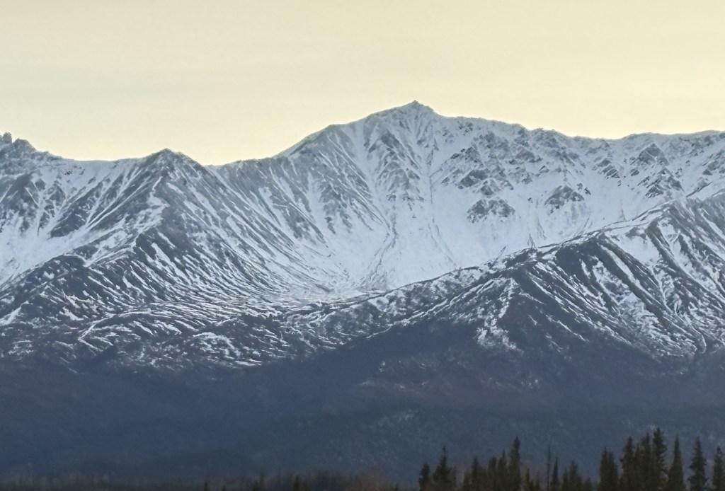
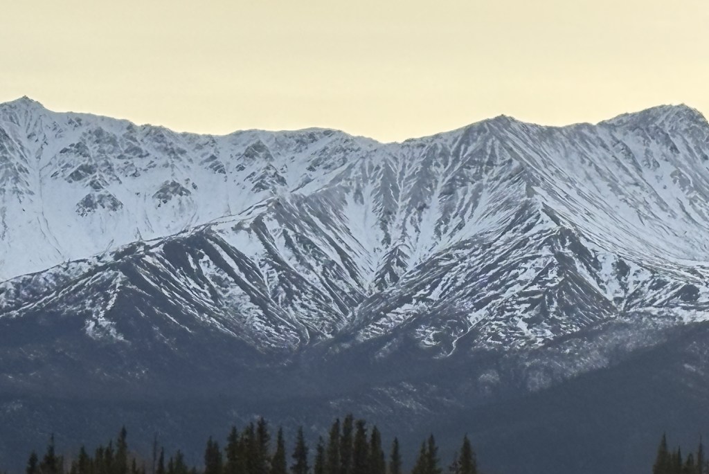
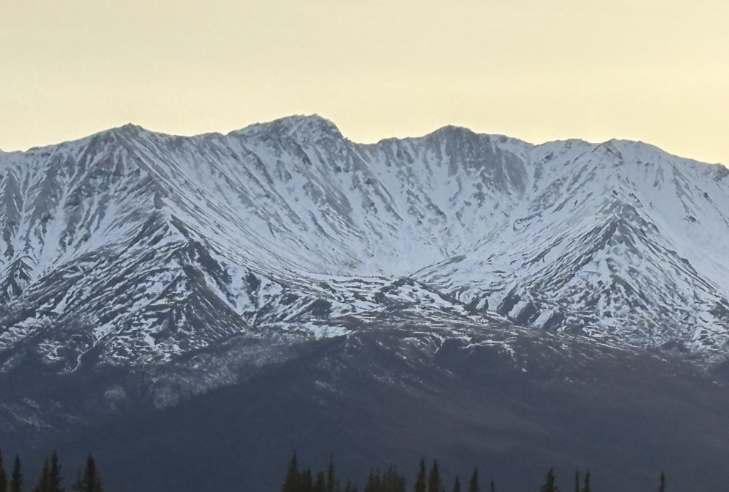
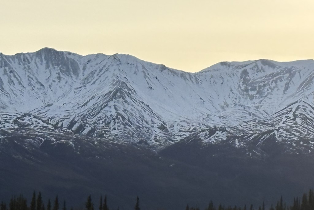
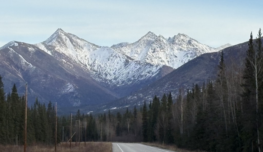
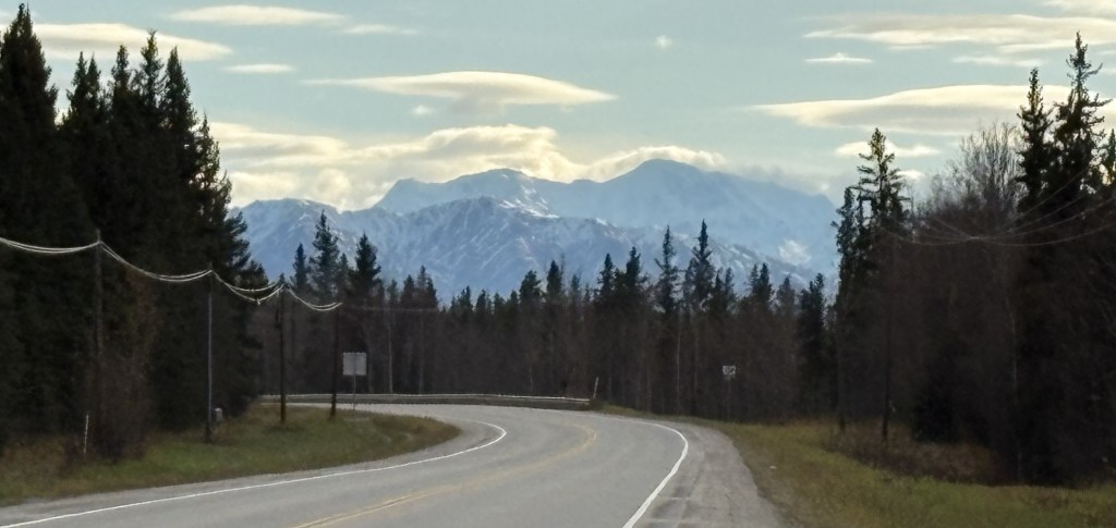
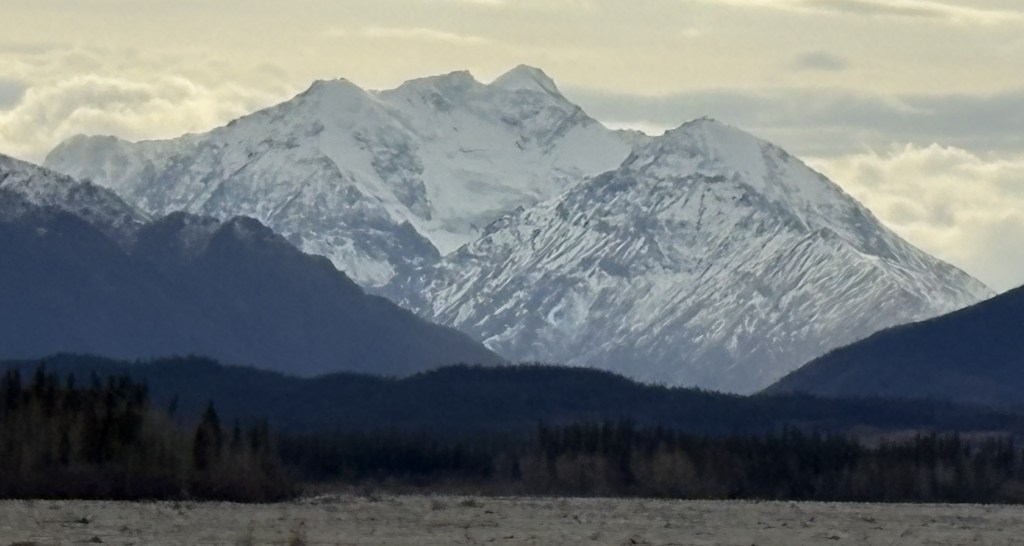
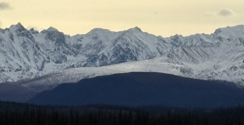
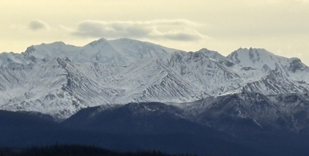
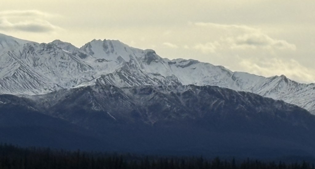
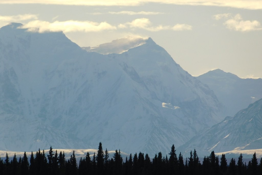
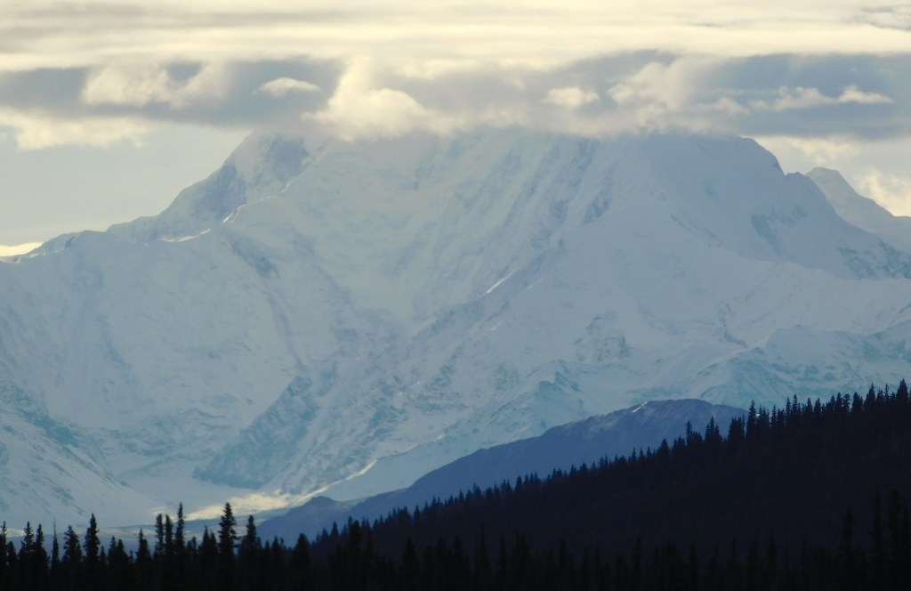
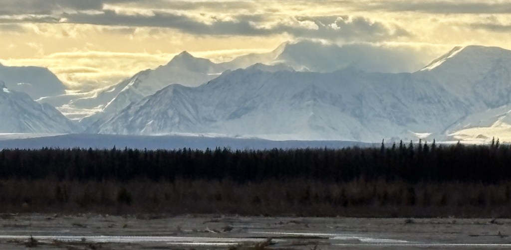
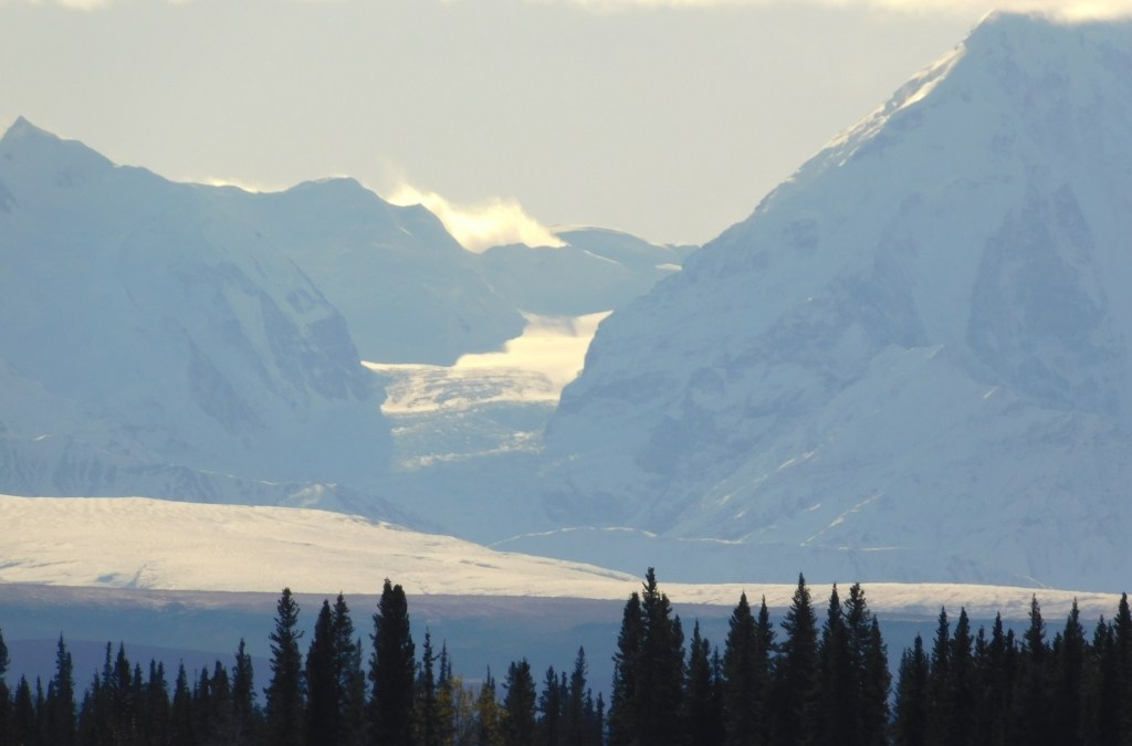
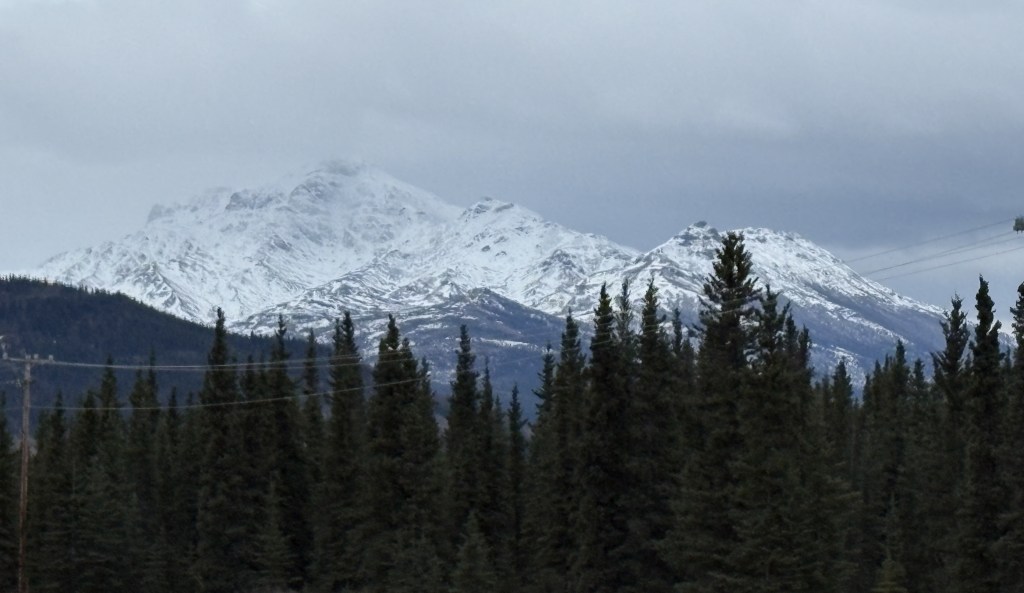
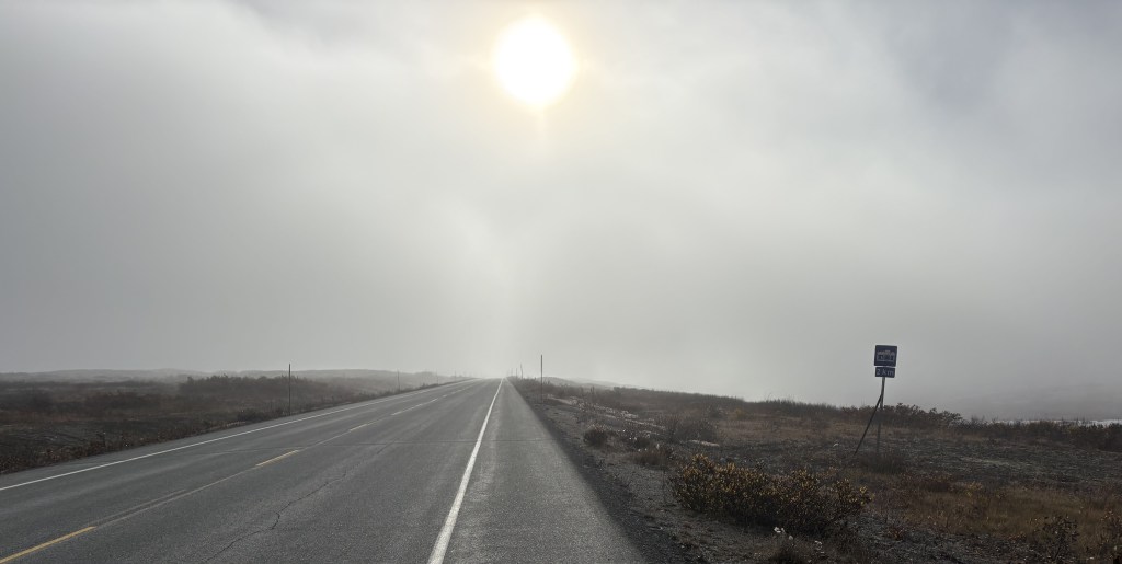
It started off as a beautiful sunny morning.

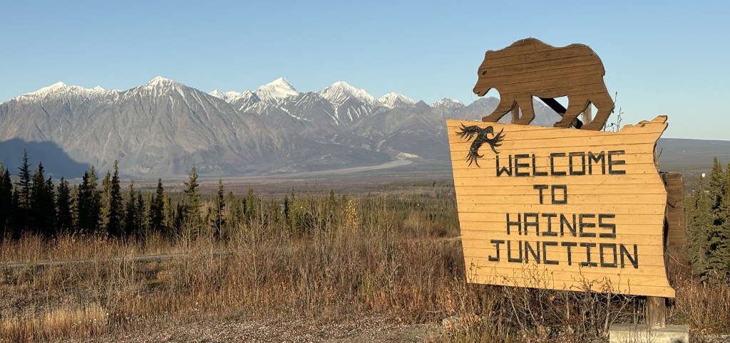
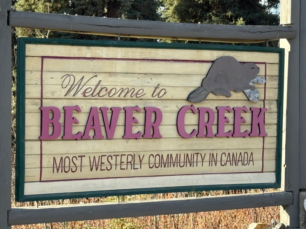
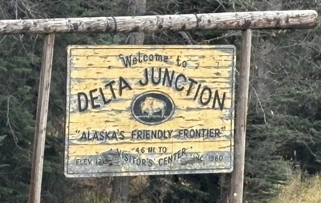
That is actually the sign looking back towards town. I don’t recall seeing a sign as I drove south into town yesterday but I may have just missed it.

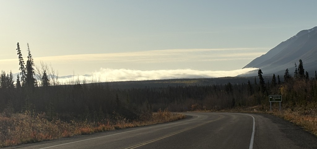
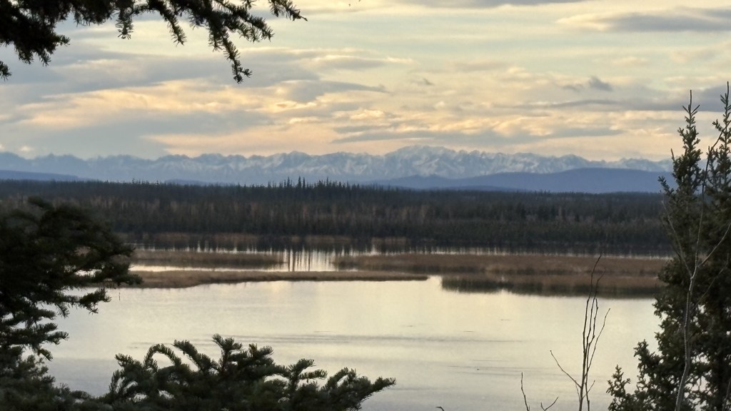
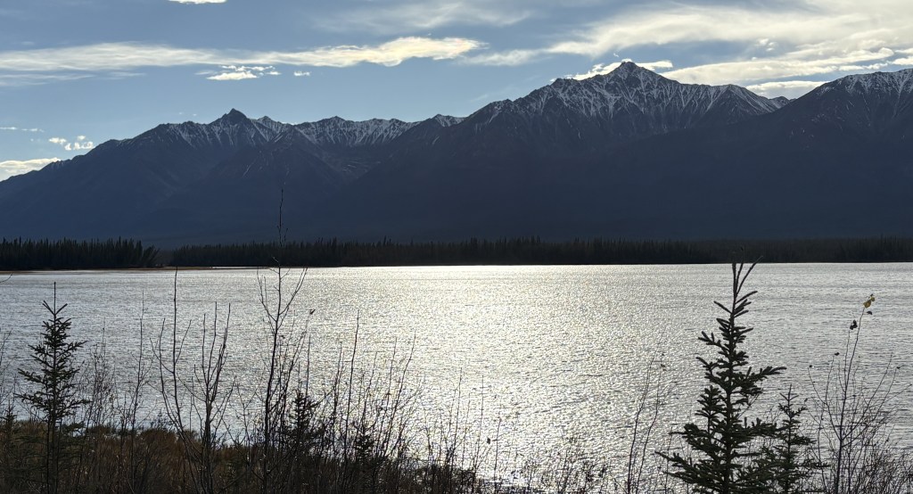
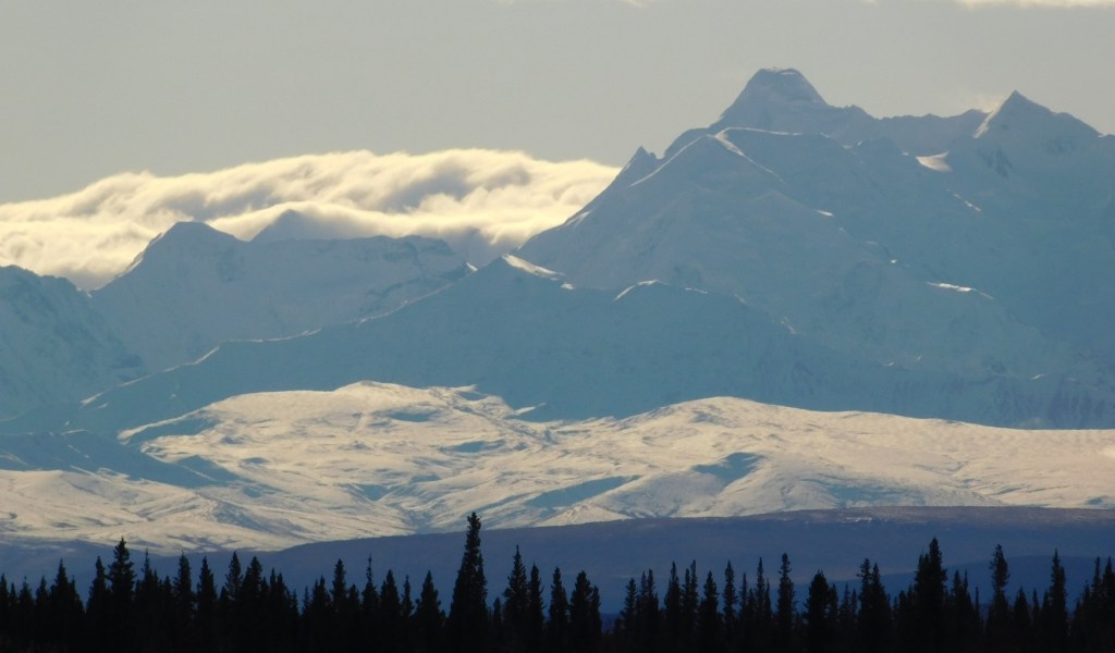
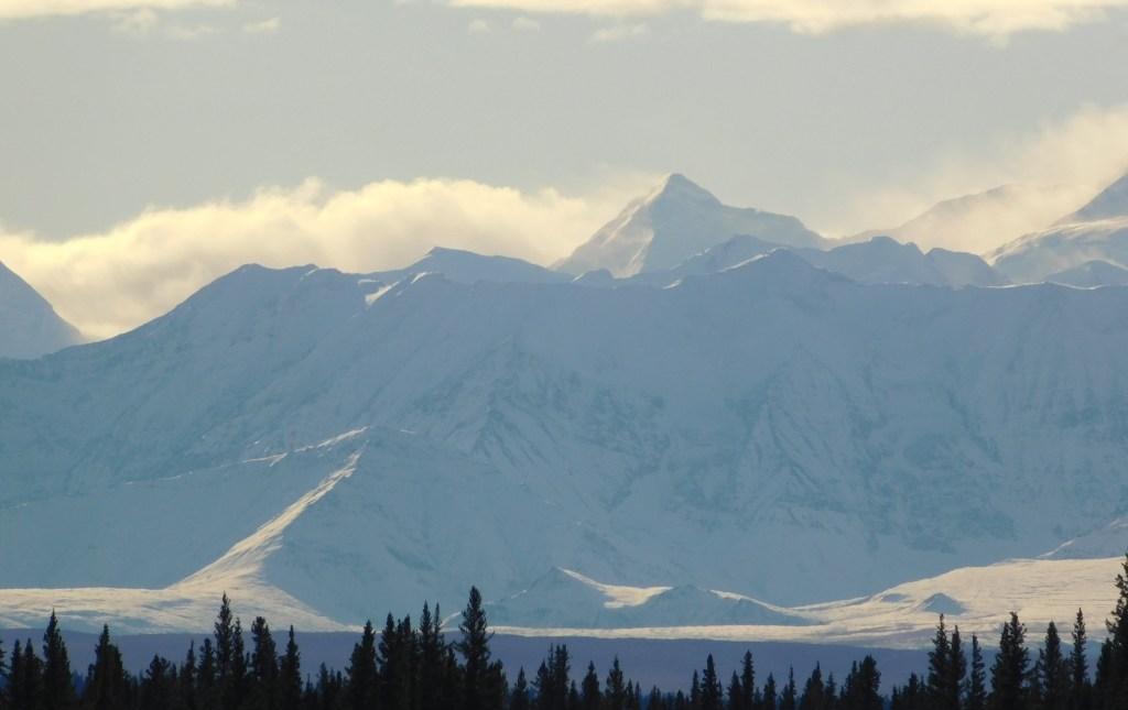
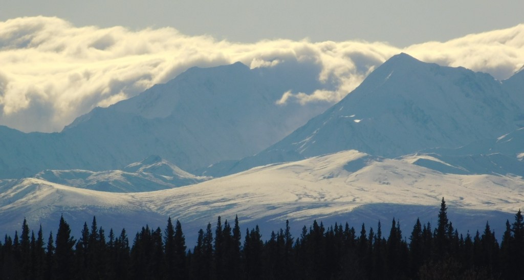
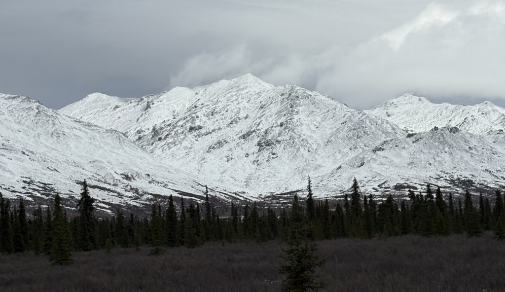
I was surprised to see those low clouds in the distance. As I got closer I realized that I was approaching a lake and I thought perhaps it was just morning fog over the water. I couldn’t have been more wrong.

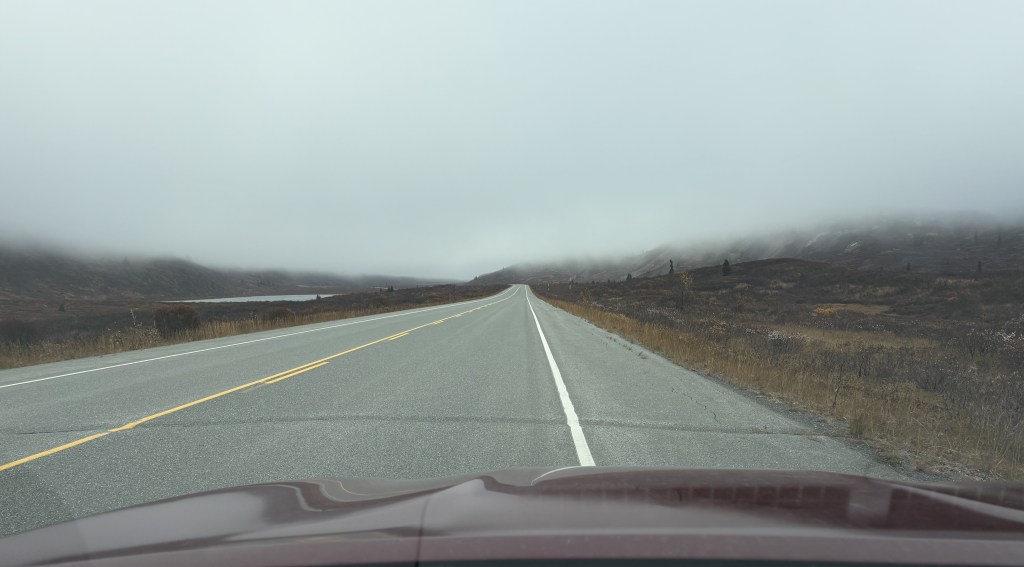
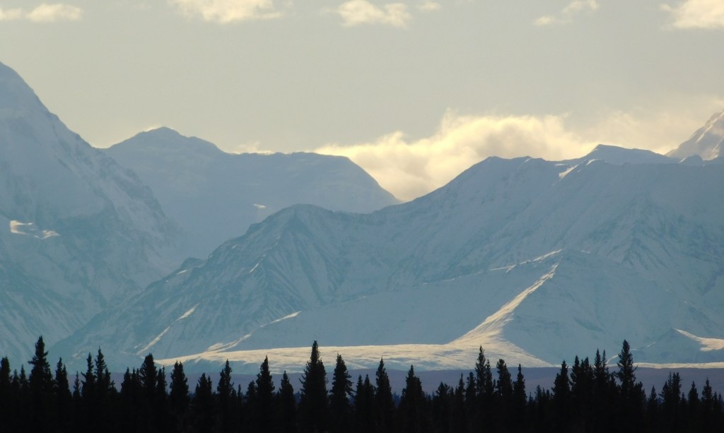
Even after I had passed the lake, extremely low clouds persisted.

I could see well enough to spot this sign near the road:

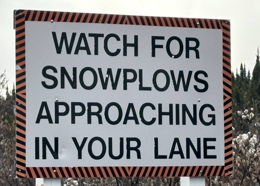
That is the first time I have ever seen such a sign. Of course I wasn’t worried about snow plows this time of year, but I soon saw another sign which helped explain things a little better.

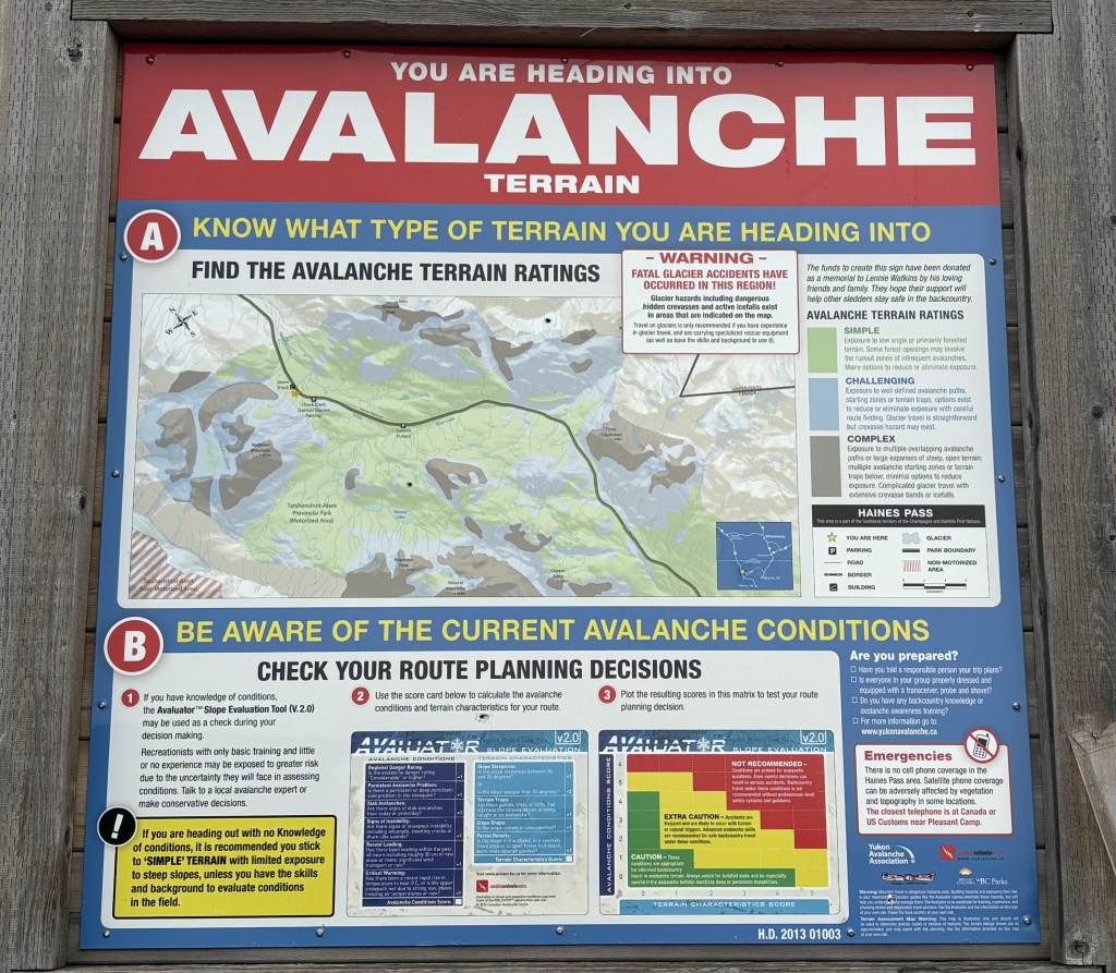
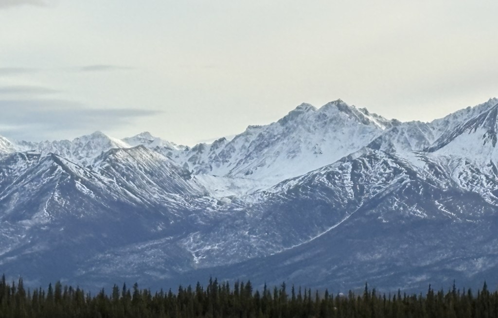
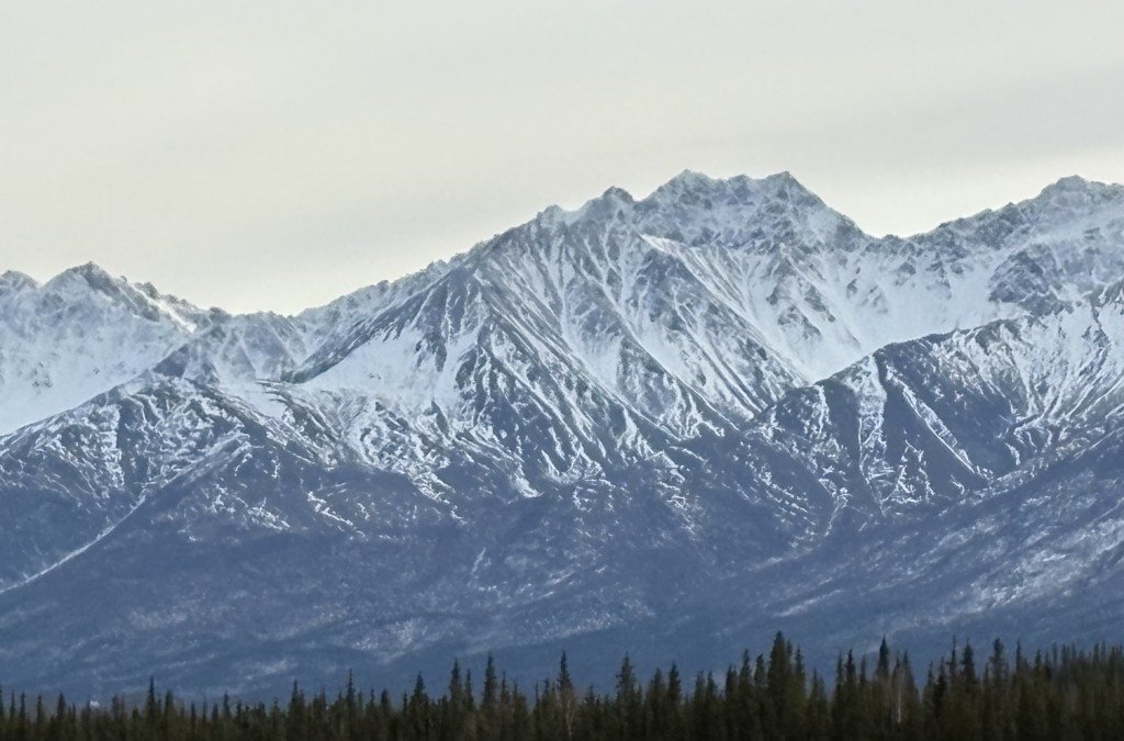
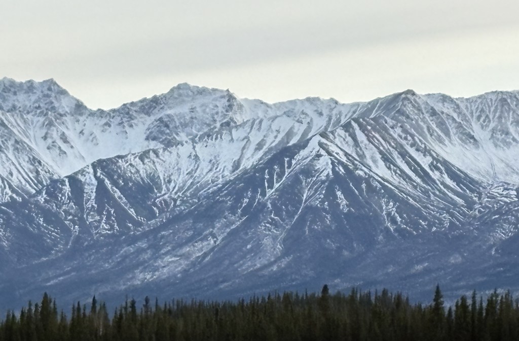
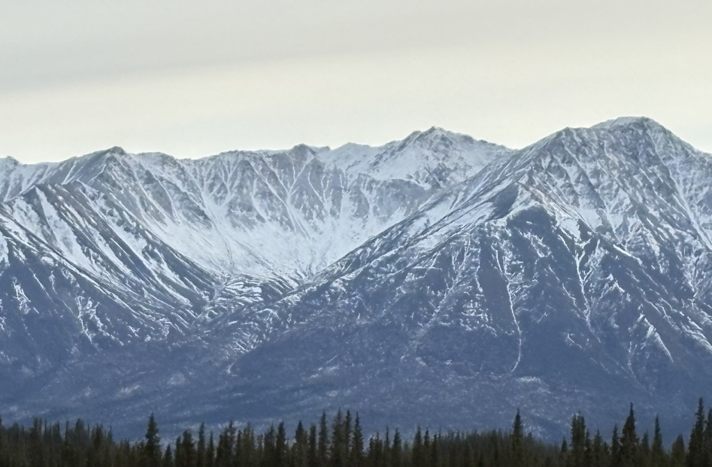
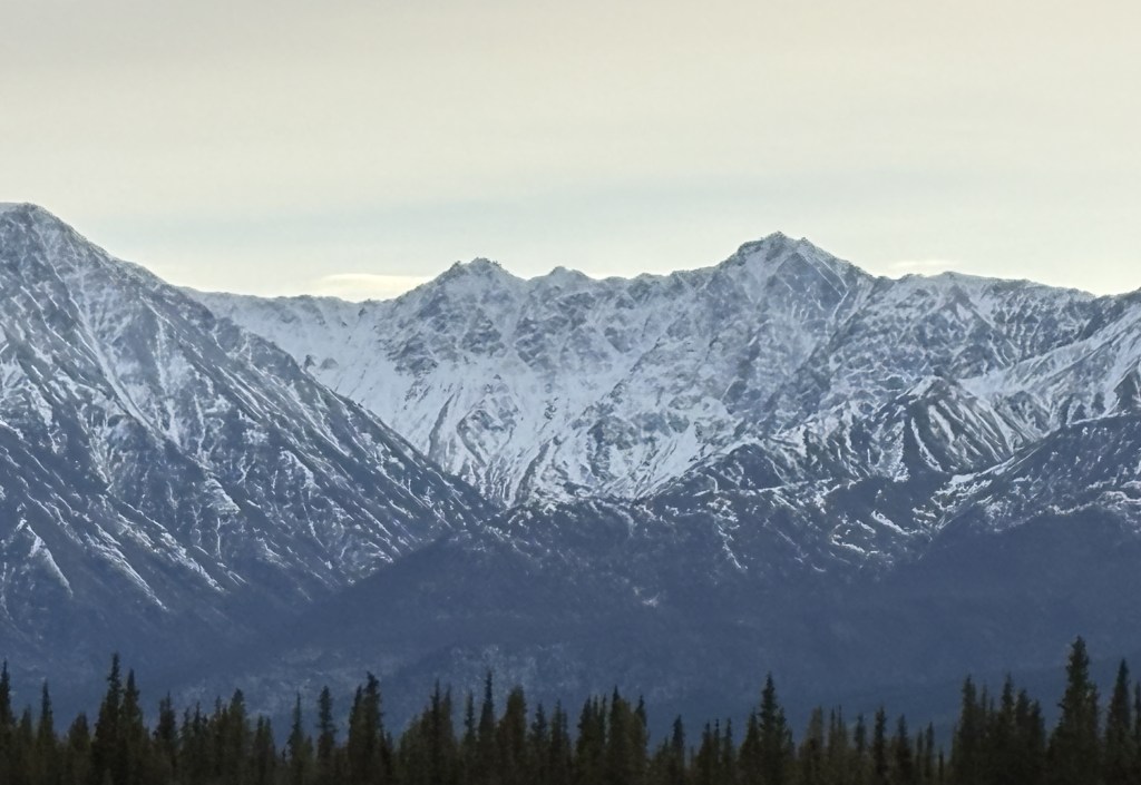
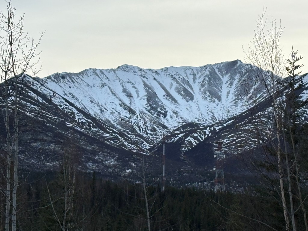
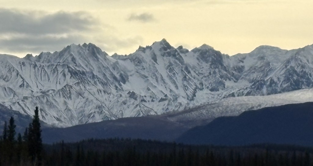
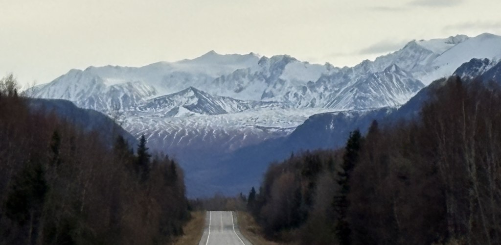
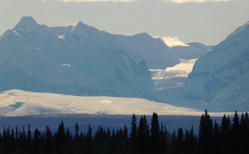
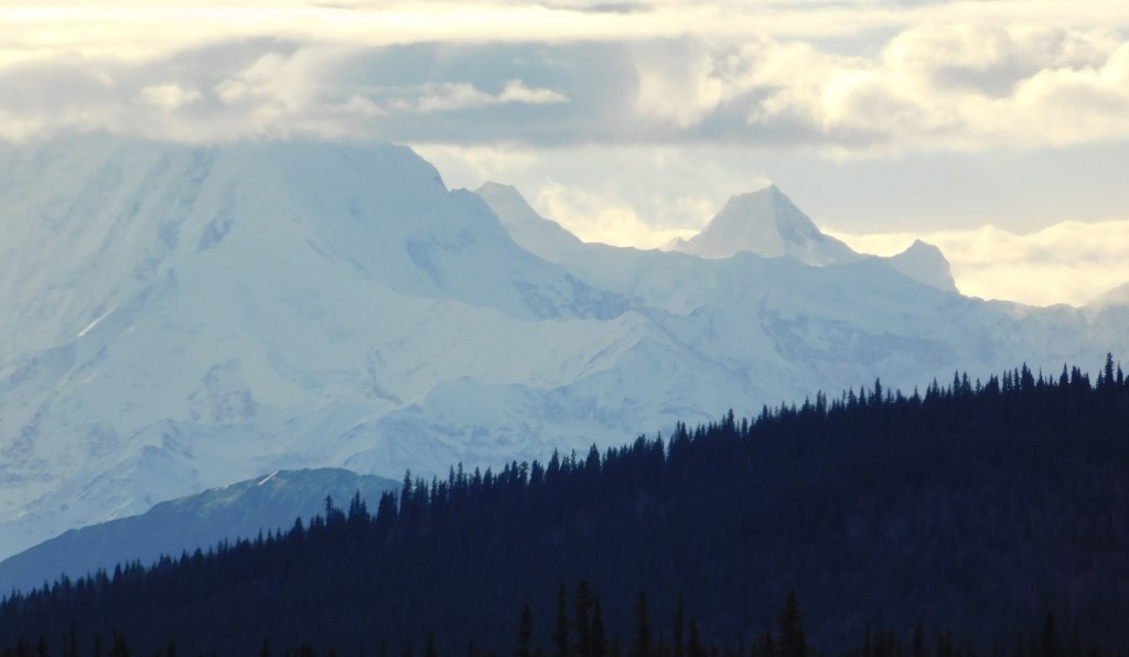
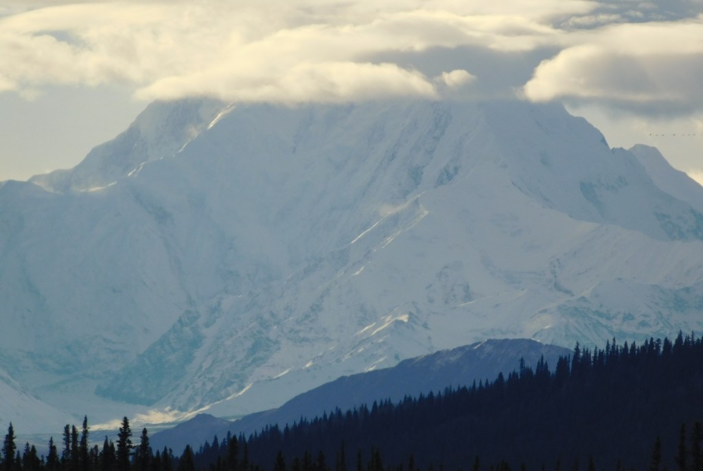
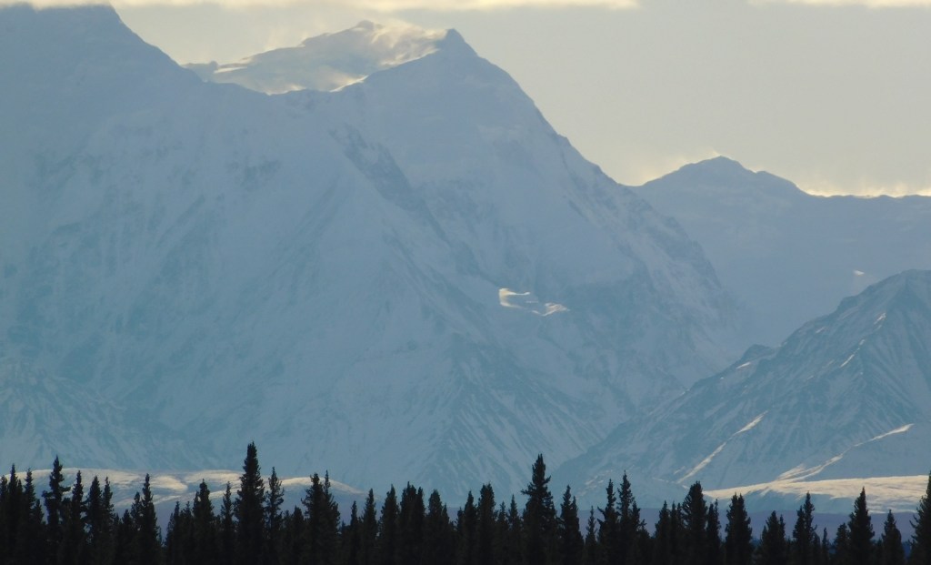
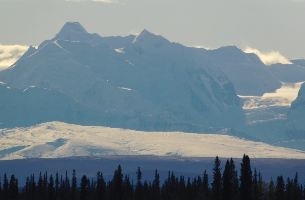
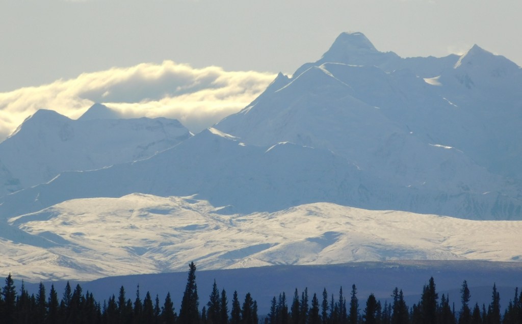
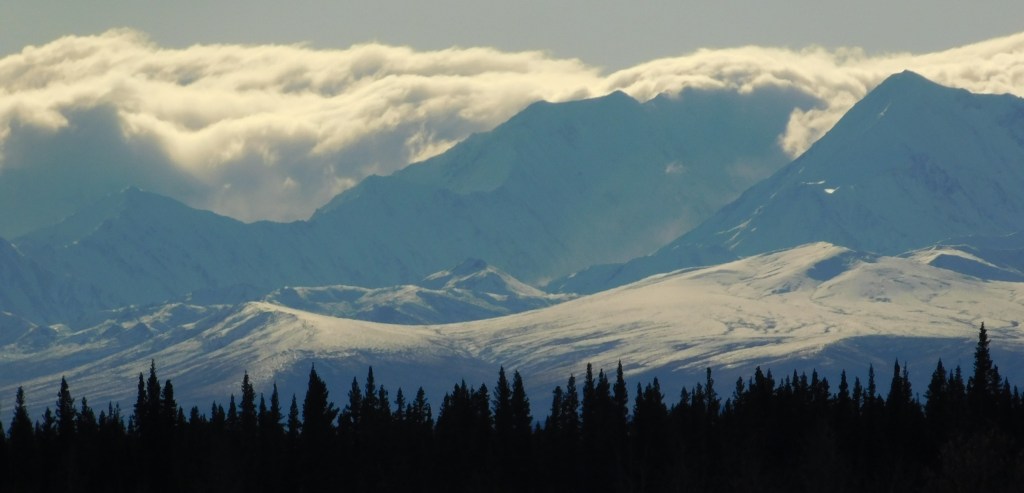
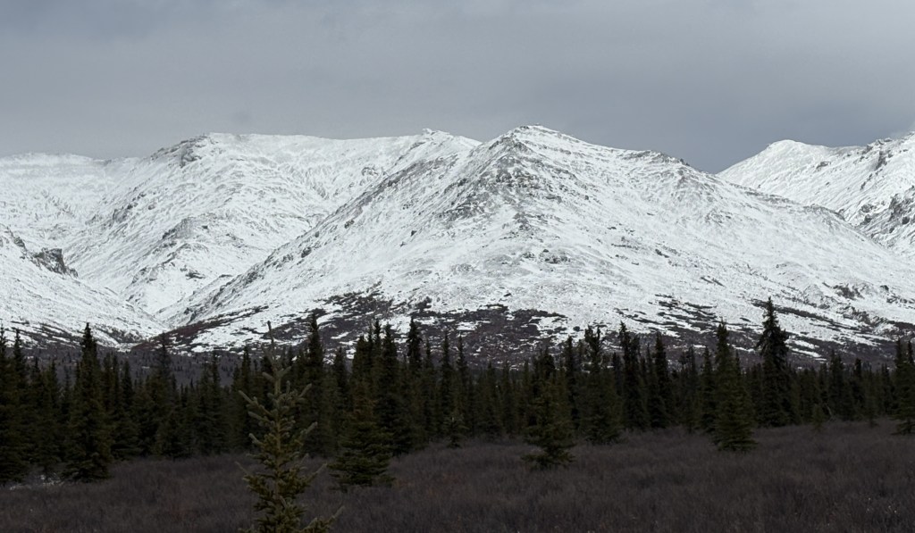
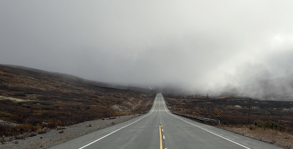
I was approaching a series of very tall mountains on both sides of the road which have a very high risk for experiencing avalanches during the winter. I never really felt that the elevation of the roadway was changing significantly, so apparently the road was weaving between the mountains. With the low clouds I couldn’t see ANY mountains, must less determining how close I was to them or how tall they were.

So the wrong-way snowplows are apparently employed to clear the roads quickly after an avalanche.

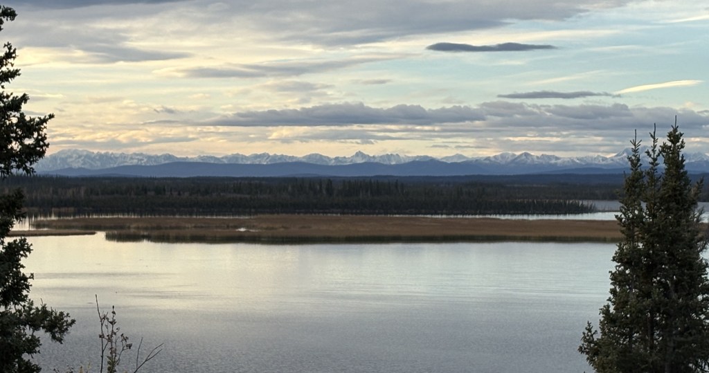
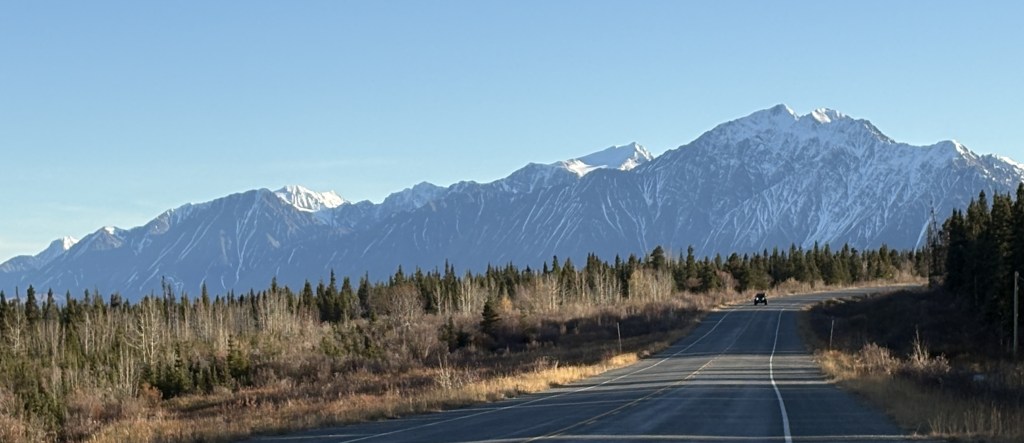
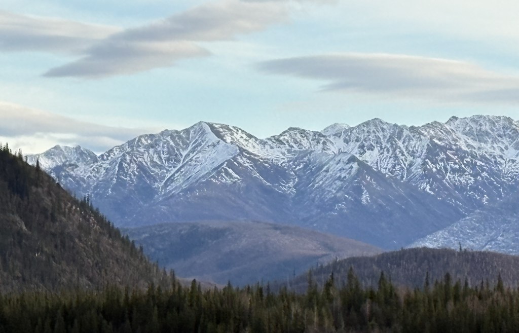
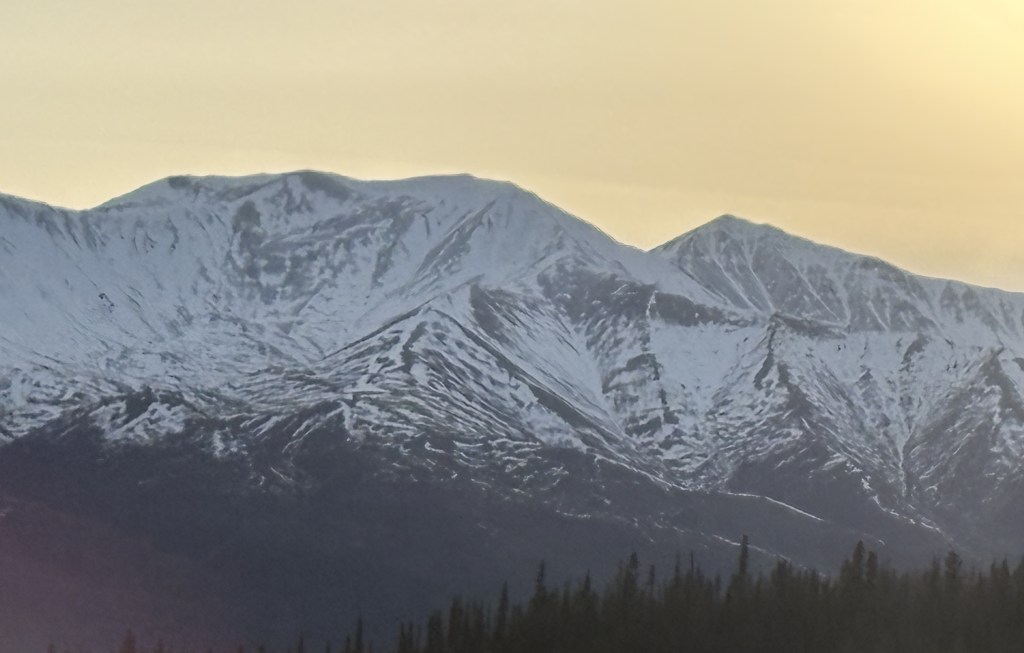
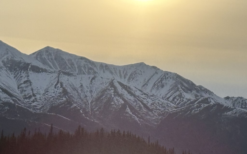
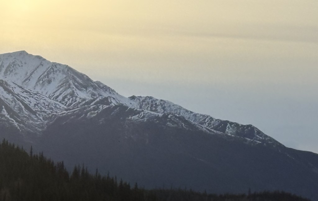
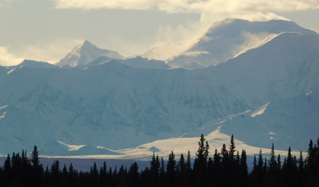
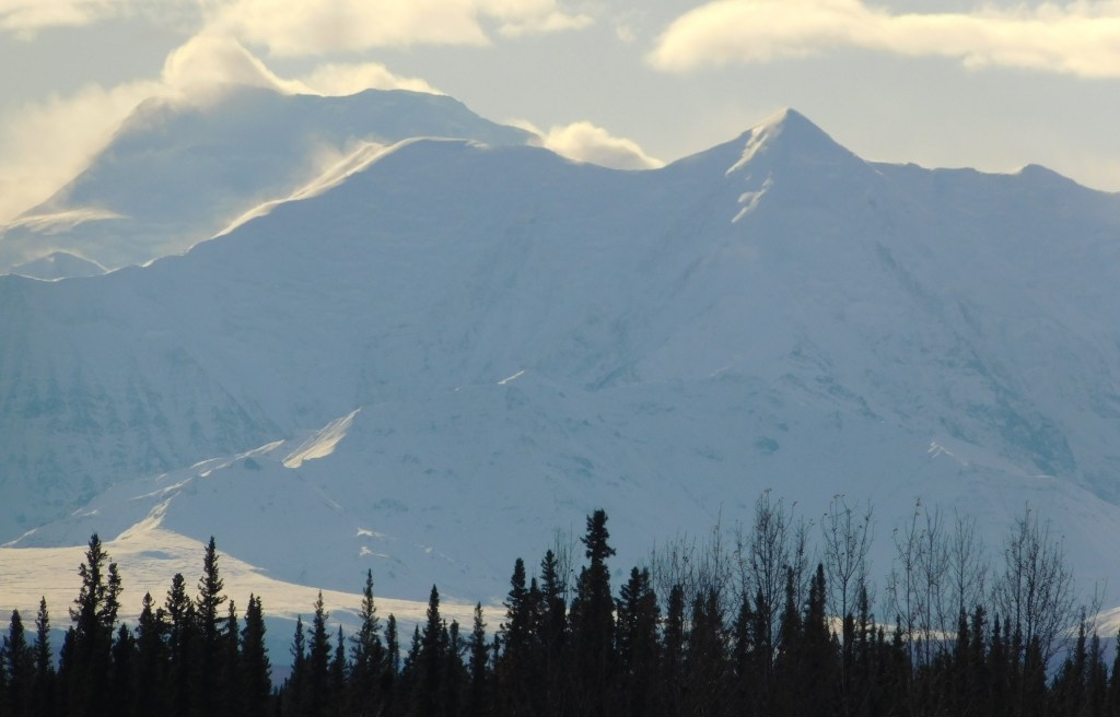
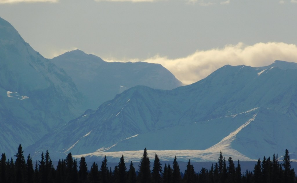
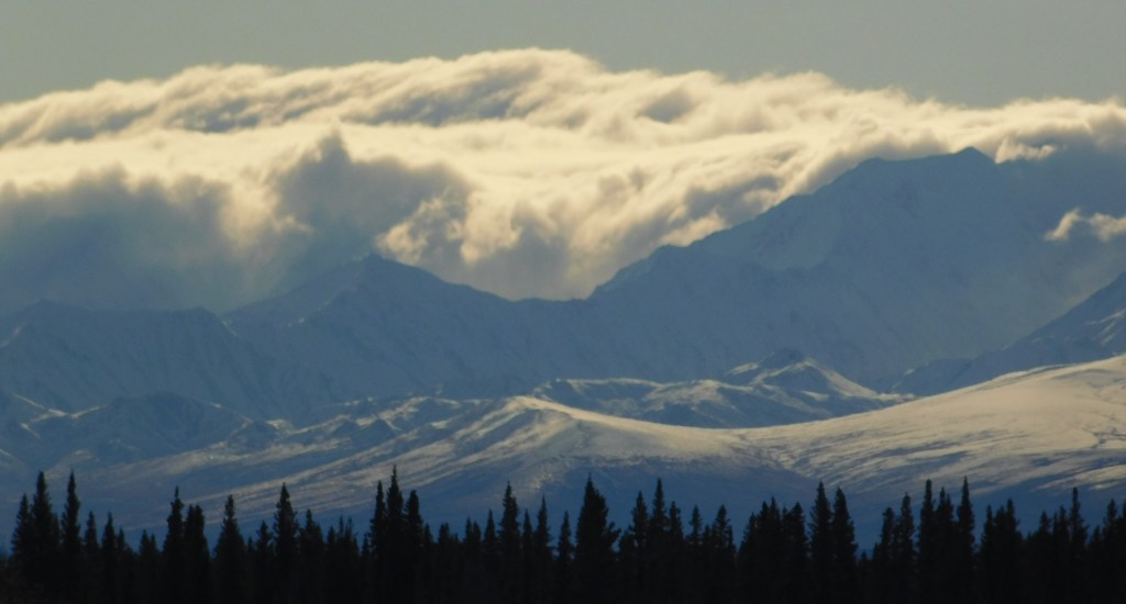
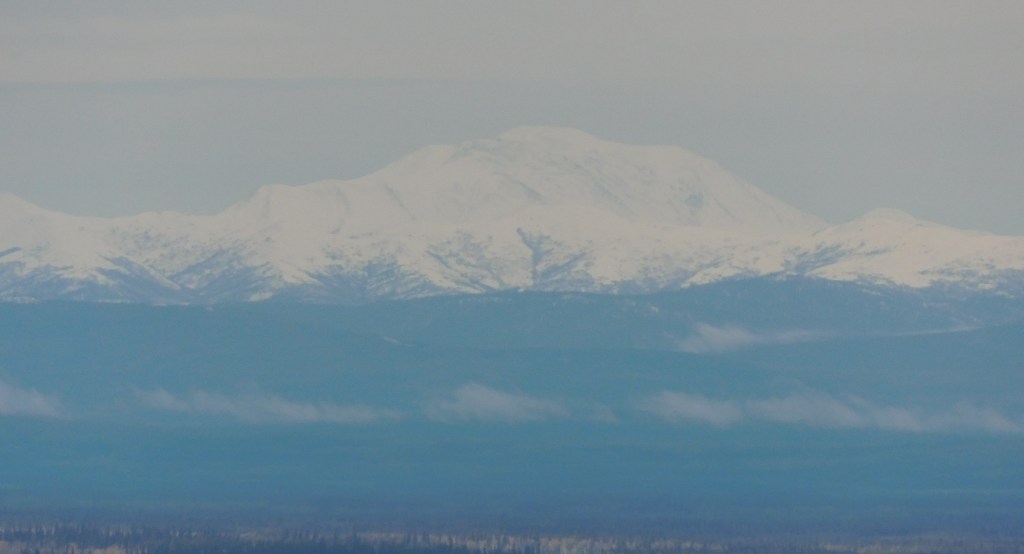
The low clouds did close in a little bit, but visibility was not a problem.

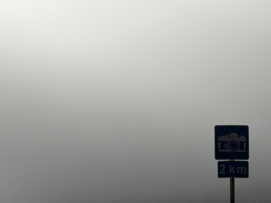
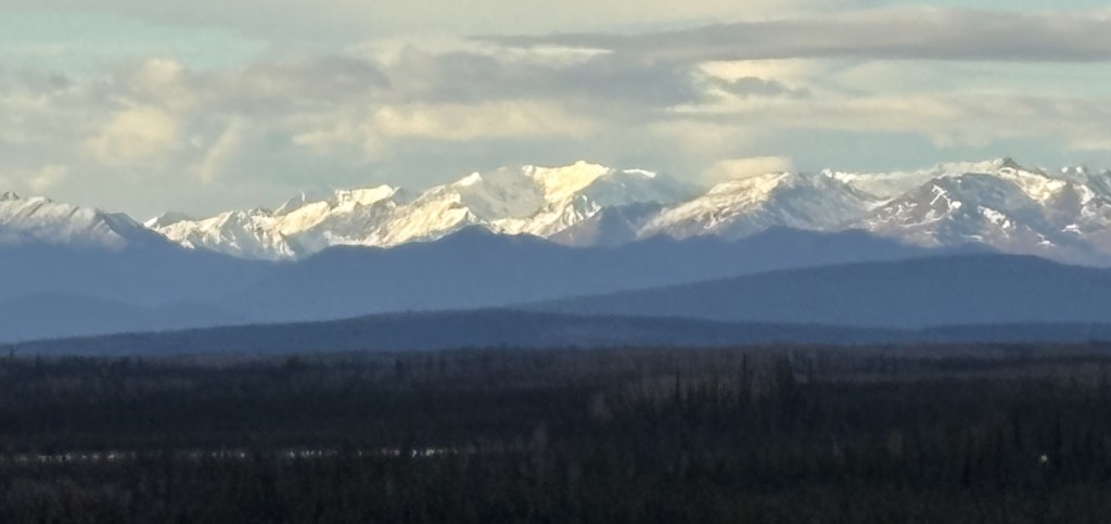
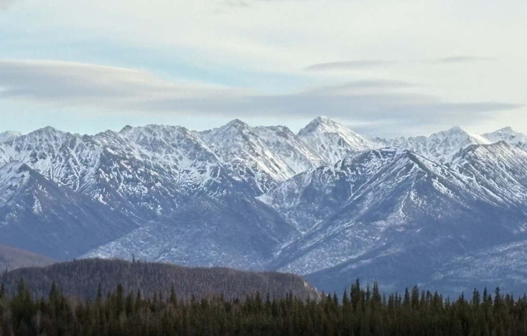
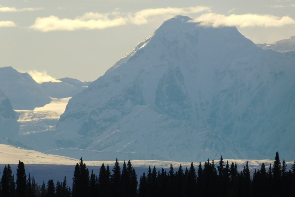
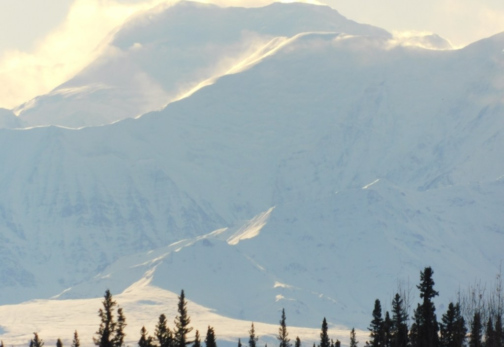
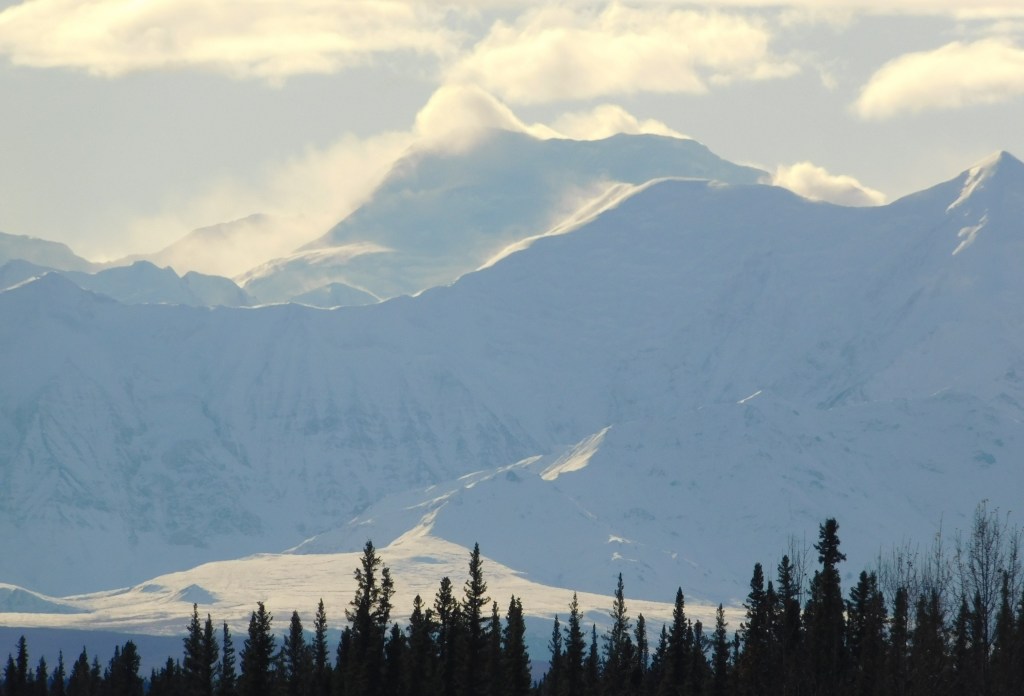
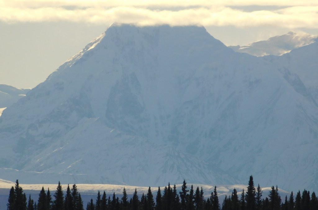
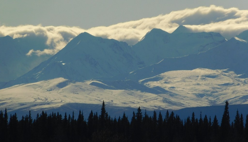
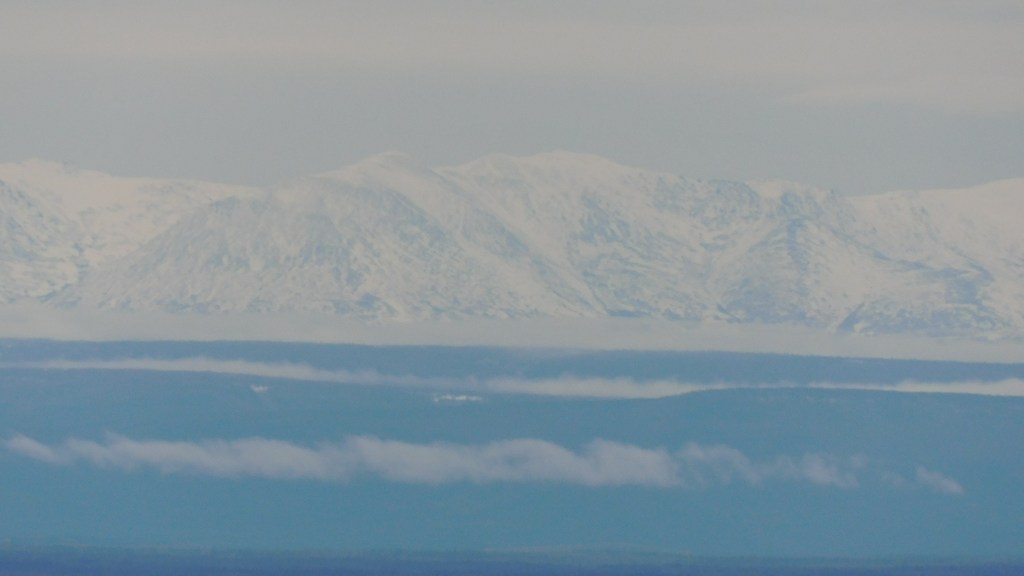
I admit I stopped and got out of the car to take the photo above. I saw the sign indicating a “photo op” 2 kilometers ahead, and walked over to get a shot of just the sign and the clouds.

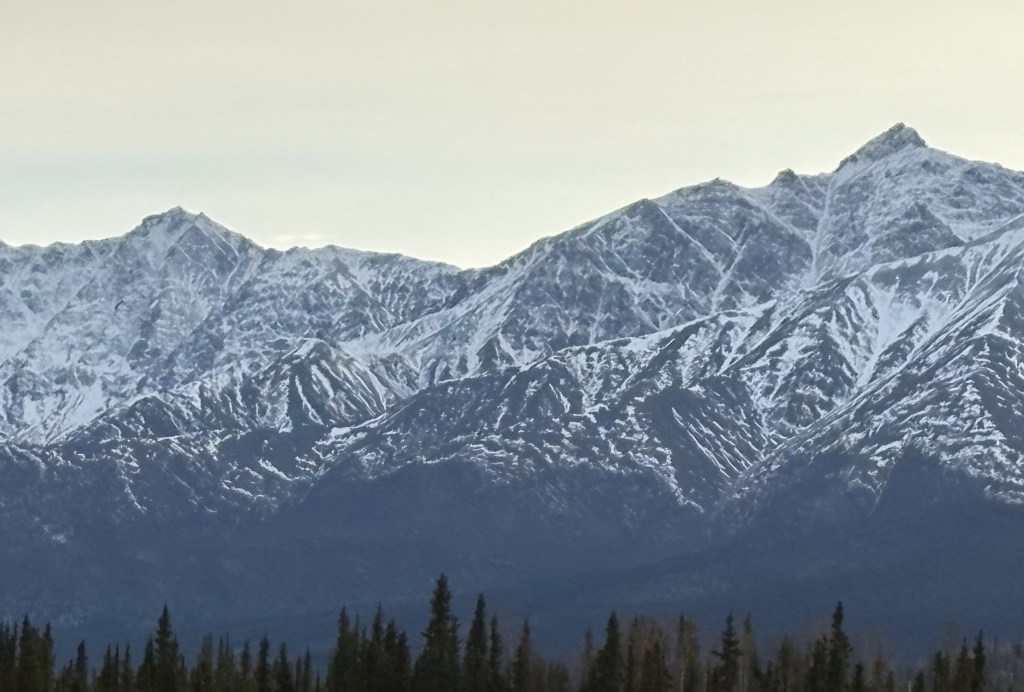
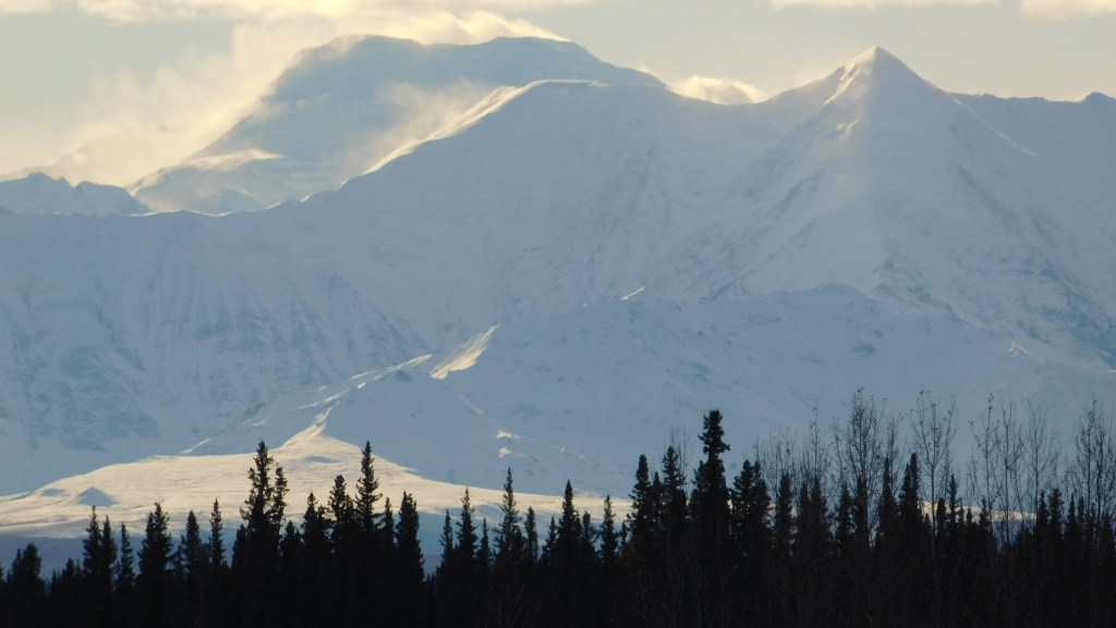
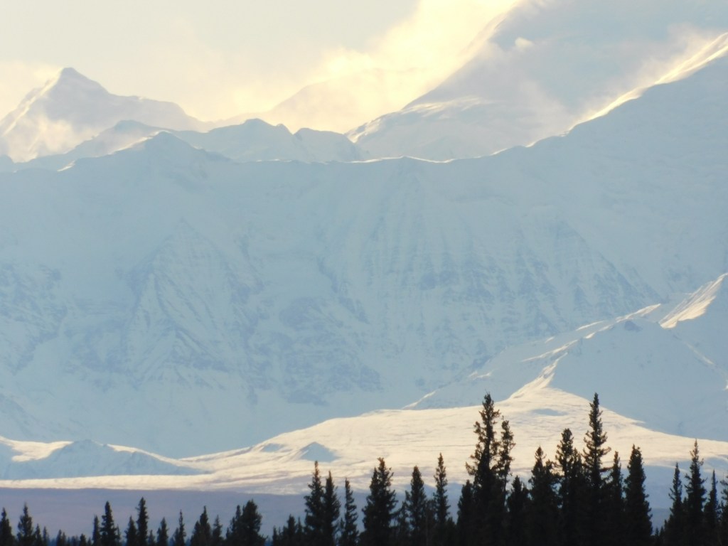
I soon crossed the border and entered Alaska. The clouds were lifting enough that I could at least see a little ways off the road, but didn’t really see anything worth stopping for.

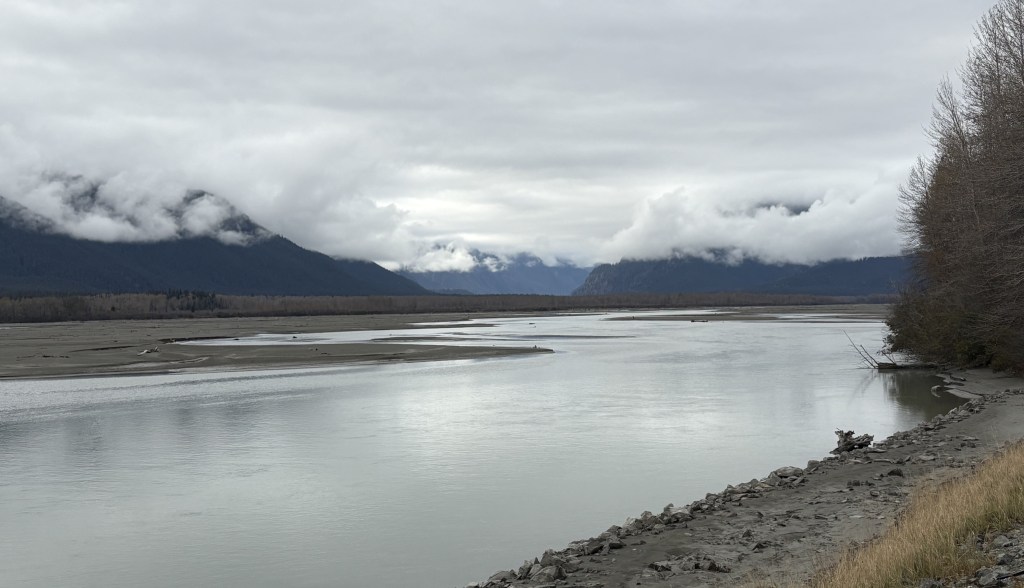
When I was a few miles away from Haines I came to this sign advising me that I was entering a Bald Eagle Preserve.

When I got to a place where there was a large parking area I stopped and got out of the car to walk up and down the road to see if I could spot any bald eagles. I did see a few, but they were flying pretty high up in the sky and perching up in the trees. Few things are as difficult for me than taking a photo of a bird in flight. I was content to just enjoy the solitude. I will have an opportunity to see some bald eagles on the ground later in the day.

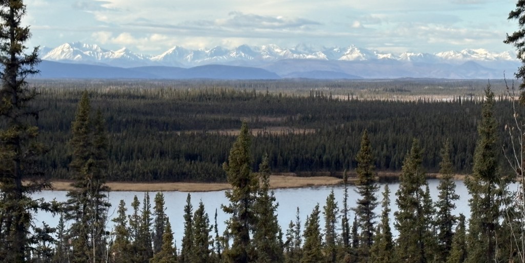
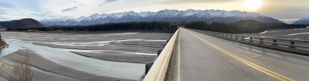
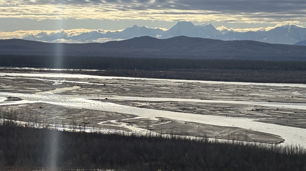
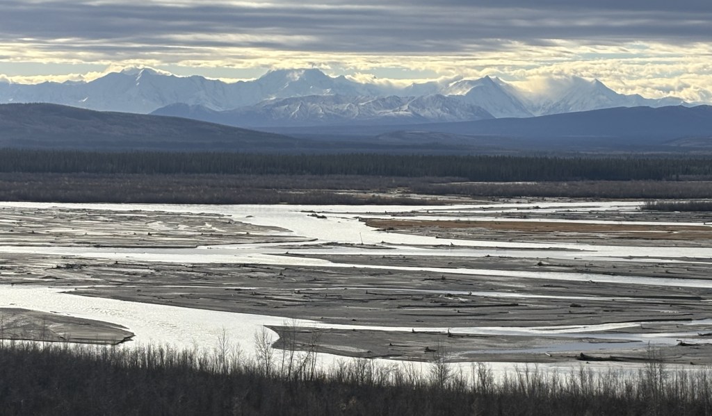
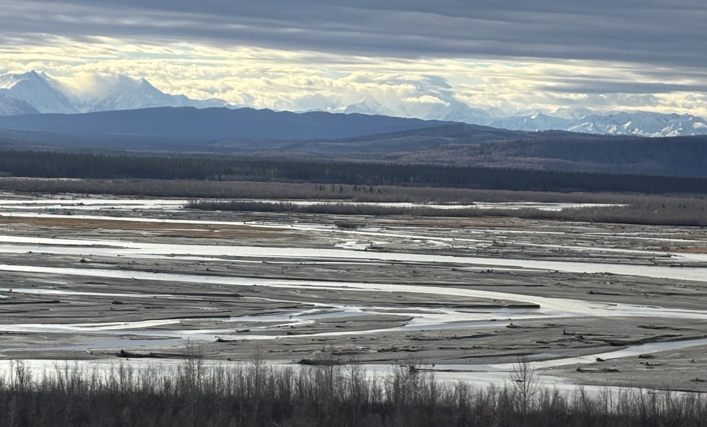
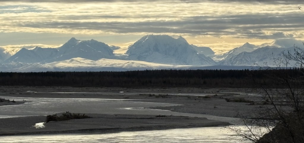
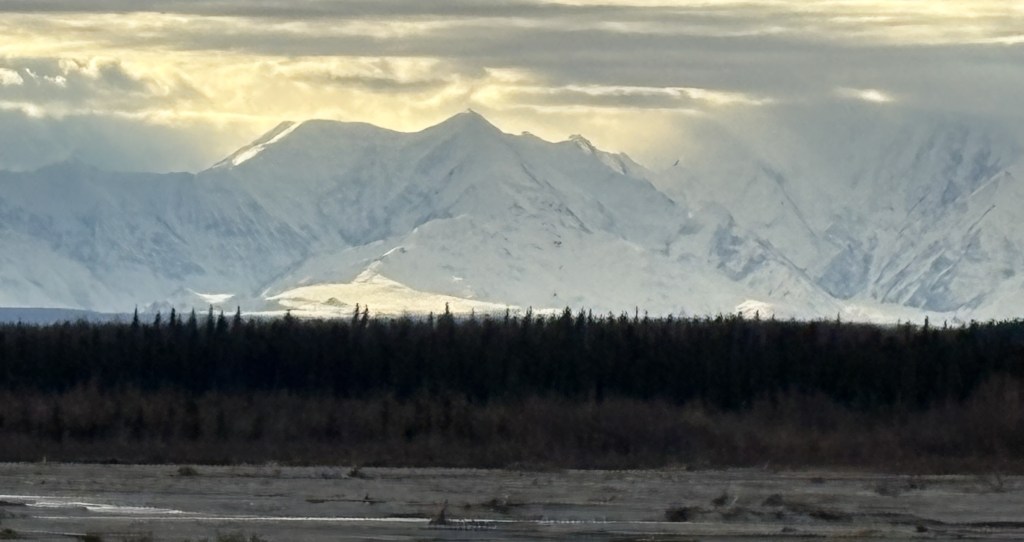
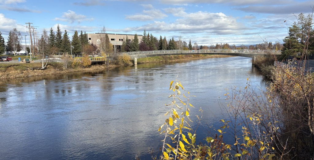
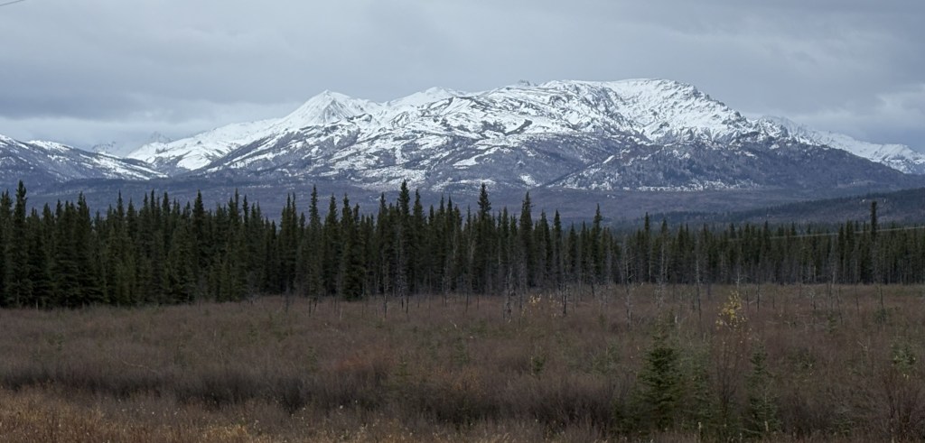
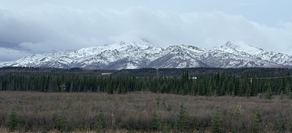
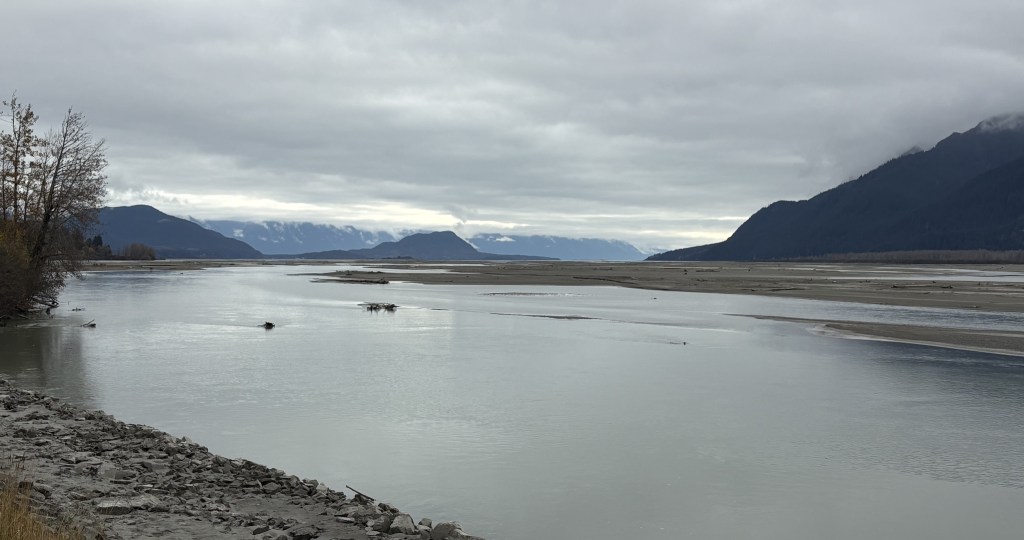
These are views of the Chilkat River, looking north and south from where I had stopped.

After taking a break I drove into town to get my bearings. I will show you those photos in the next post, and will be showing some maps I found on a sign in town which better illustrate where I am.

Tok, AK to Haines Junction, YT

October 8, 2025

Today I will drive southeast from Tok and spend one night in the Yukon Territory. Tomorrow I will head south from Haines Junction and re-enter Alaska to spend one night in the small coastal town of Haines. The day after that I will take a ferry to another small coastal town in Alaska – Skagway. I will only be there a short time to see the town and have lunch, and will then drive north, back into Canada, and spend that night in Whitehorse.

I didn’t take too many photos on today’s drive, but I did stop at a large parking area from which I saw a mountain range off to the west.

Further up the road I found some other spots where there was sun getting through the morning clouds to highlight the snow on some other mountains.

I soon crossed the border into Canada and got to the closest village on that side of the border, Beaver Creek.

I then found myself back on some of the worst parts of the Alaska Highway.

Flashbacks of alternating gravel and pavement, as you see above, and long stretches of just gravel. There was still one long construction zone where they were completely rebuilding the road and traffic had to wait for a Pilot vehicle to safely guide us through the construction vehicles and the large tandem trucks hauling rock.

The further I drove the nicer the day became, with the morning clouds yielding to blue skies.

I arrived in Haines Junction, checked into my Airbnb there, and went out for something to eat. This was the view looking west when I got back to my car shortly before 8pm.

Delta Junction to Tok – Post 2 of 2

October 7, 2025

Here is one more of my multi-photo panoramas. This mountain range was beyond a long bridge I was approaching. I took a “conventional” single-shot panorama photo with my iPhone and will post it first to show the entirety of the range. It will be followed by a bunch of photos, taken with my iPhone, panning from left to right. The mountains were much closer than they appear in the single shot, one reason I don’t take that many of that type of photo as they end up being too small to see much detail when posted. I tried crossing the bridge to get even closer but then the low pine trees were blocking part of the mountains, so I came back to this end of the bridge.

Here are the individual photos:

I continued driving towards Tok and saw these two sets of mountains ahead of me, further down the road.

As I was approaching town I saw this entrance to a touristy area next to the road, but it was closed for the season.

I finally arrived in Tok. I was staying in a different place than I did when I arrived in Alaska. This was my little cabin. I was very modern inside, and I wish it had been available on Airbnb when I arrived in Tok a few weeks ago.

After getting my stuff for the night moved in from the car I decided to treat myself to a steak dinner at one of the few restaurants in town.

This will not be my last night in Alaska. After crossing the border into Canada tomorrow I will drive south in the western part of the Yukon Territory to the town of Haines Junction. The next day I will drive further south and cross into the panhandle of Alaska to go to the coastal town of Haines, and then I will take a ferry to another coastal Alaska town – Skagway.

Delta Junction to Tok – Post 1 of 2

October 7, 2025

After stopping to take photos of the mountain range west of the highway I continued on to Delta Junction. I had passed through here previously but today I will turn left onto Hwy 2 to head back to Tok. I had stopped in Tok on my first night in Alaska and will be staying there again before I exit the “mainland” part of the state and go back into the Yukon Territory.

I had posted some photos from Delta Junction previously but here are two I had not taken. These will back up the extremely low overnight temperatures I have seen for Fairbanks on my weather app.

After turning left on Hwy 2 I crossed a bridge over a wide river and saw this mountain range on my right. I walked out onto the bridge and took this series of photos with my iPhone camera, as these mountains were much closer. These photos are of the mountains looking from left to right. Once again, you will see some overlap in the photos.

I continued on down the highway towards Tok and saw a few more mountains ahead of me.

I will have one more makeshift panorama in the next post.

Fairbanks to Delta Junction – 2 of 2

October 7, 2025

This is a continuation of the previous post. It shows digital closeups of a mountain range to the right of the highway as I drove south from Fairbanks.

These are in random order, and are intended to be viewed on a standalone basis to emphasize the variety of terrain, depth of view and snow cover.

Tomorrow I will post photos of the second part of today’s drive – from Delta Junction to Tok, Alaska.


Next up – getting from Delta Junction to Tok.

Fairbanks to Delta Junction – 1 of 2

October 7, 2025

I am going to break up my trip to Tok into two parts – getting from Fairbanks to Delta Junction (which I have done before) and getting from there to Tok (which will cover new turf). I took lots of photos of several mountain ranges and will post them in a somewhat different manner.

The first set will be of mountains that were to my right, looking across a wide river which I posted photos of when I made this trip the first time. It will start with a few photos I took with my iPhone that will create a “panorama” from left to right when viewed in sequence. There are two sets of three, which were taken 1 hour and 16 minutes apart, so they were from slightly different vantage points on the highway. The second set of three will then be followed by 28 photos taken with my digital camera zoomed in to show detail of the terrain, depth of view and snow cover. There may be some duplicates, and you will see some “overlap” as I moved the camera from left to right (i.e. what is on the right side in one photo may be in the center or left side on in the next photo). I am pleased with the quality of the digital photos so am just going to post them all.

Here is the first set of three, taken at 103pm. Again, these create a panorama effect, from left to right, when viewed in sequence.

And here are three photos of the same mountain range, taken from further down the road at 219pm.

Those three don’t show the entire mountain range but it appears the road I was on had taken me closer to the mountains. This was the vantage point from which the digital photos were taken.

I will now post the first 14 photos taken with the digital camera. The following post will include the second group of 14 photos. My intent is for you to view these photos on a standalone basis and just take in the variety of terrain in each of them.

These are in random order and don’t necessarily follow the left to right viewing scheme.

Continued in next post.

Fairbanks Dog Mushing Museum

October 6, 2025

This was one thing on my list of things to do that I was hoping would still be open late in the year, and I was in luck. Located on the second floor of an older building downtown, it was a little run down but had lots of things to see. It also doubles as the Fairbanks Community Museum, so it had more things than just dogsleds.

As I mentioned, there were artifacts and tributes to other parts of Alaskan history, such as the Gold Rush and various other things.

I will include some photos about another historic event which occurred in Fairbanks in the next post.

And I will mention something else that I learned about Fairbanks. It gets REALLY cold here! I have a weather app on my phone so I can check conditions and forecasts for various locations. I had put Fairbanks in earlier this year, in early February, I believe, and was shocked at the temperatures I was seeing. Numbers like -40 degrees Fahrenheit at night and “highs” of -14 degrees during the day. Oh, and the difference between sunrise and sunset was only 5 hours the day I looked. I believe it gets even shorter than that at times, and places further north don’t see the sun at all for parts of the winter. I will have another example of those kinds of temperatures soon, when I start heading back to Canada.

Fountainhead Antique Auto Museum

October 5, 2025

I was in Fairbanks AK about two weeks ago and picked up some brochures from their Visitor Center. I also consulted my list of “things to do” which I had made from the TripAdvisor website. This classic car museum is consistently rated number one on the TripAdvisor list based on positive reviews. When I mentioned it to my Airbnb host he said it is definitely a “must see.” He also told me that in addition to the vehicles themselves, the museum owner’s wife suggested they incorporate “period” men’s and women’s fashions in the exhibit. You will see some of them in the photos that follows.

I just checked the museum’s website yesterday and read that it closed April 1 in order to move the collection to a new, larger location. As popular as the museum is, I doubt if that process will take long.

Enjoy!

The next two photos are of classic snowmobiles (or snowmachines as they are often called in Alaska).

There was a video running which showed the snowmobile above in action. And I will briefly jump to when I left the museum and saw this item sitting outside the entrance.

Final Day in Denali NP

October 4, 2025

I will travel into Denali National Park one last time before leaving late in the afternoon to drive up to Fairbanks. I didn’t take very many pictures. I had driven up and down the same 15-miles of road for four days and didn’t see anything different today. The few photos I will post are probably very similar to ones that I posted previously. Again today, I spent lots of time looking for animals, without success.

After leaving Denali I drove the same route, Hwy 3, up to Fairbanks. It takes about two hours. I didn’t take photos when I went up there about two weeks ago, but today I did notice some snow covered mountains way off in the distance which I hadn’t seen on my previous trip.

I took those with my digital camera, as they were pretty far away.