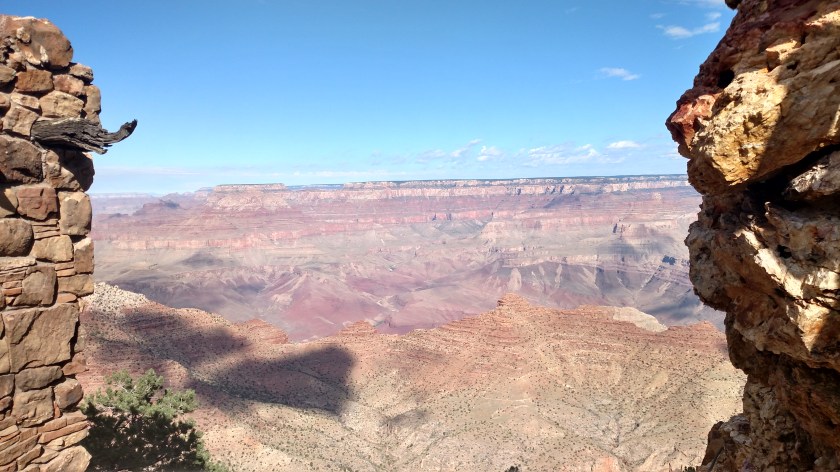
These were taken with my smartphone camera later in the afternoon on Tuesday. I previously posted pictures taken earlier in the day.


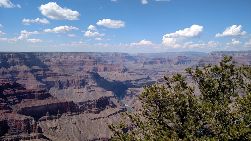


These were taken with my smartphone camera later in the afternoon on Tuesday. I previously posted pictures taken earlier in the day.
These were taken with my smartphone camera later in the afternoon on Tuesday. I previously posted pictures taken earlier in the day.
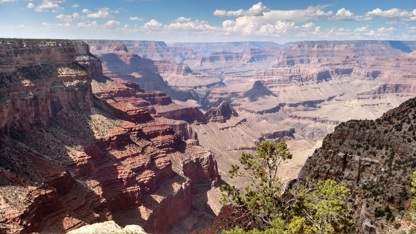
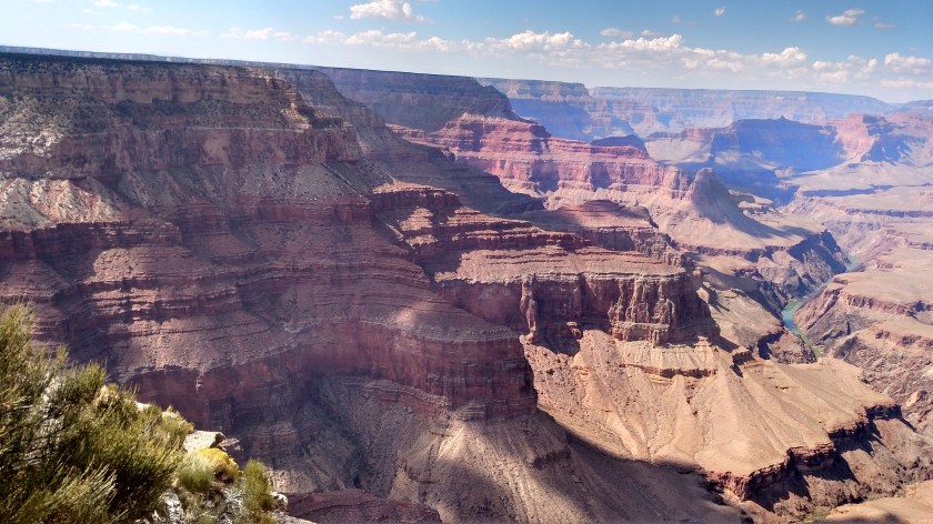

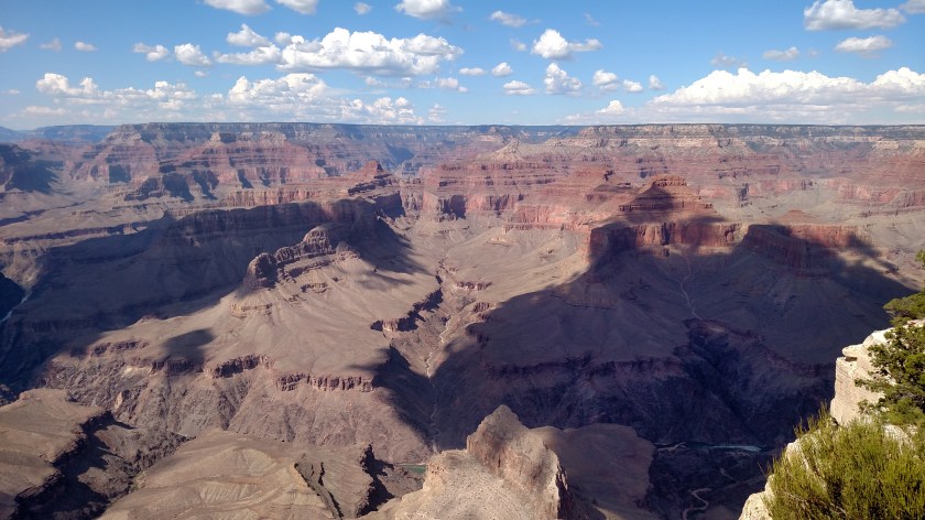
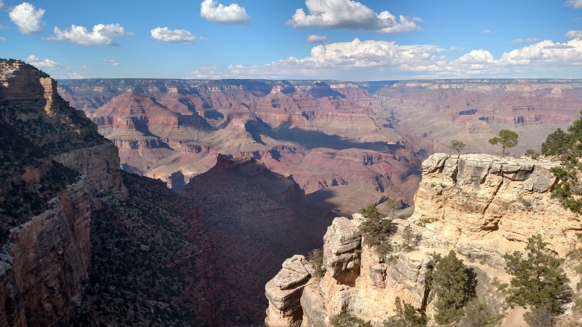
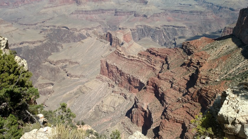
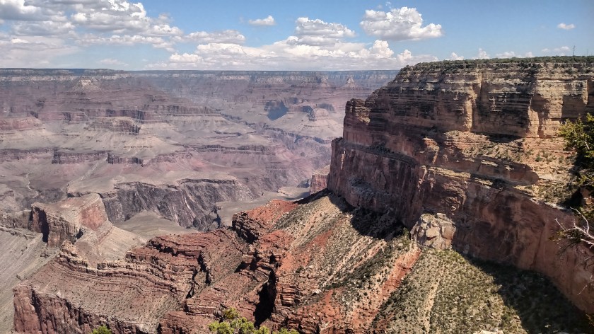
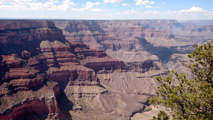
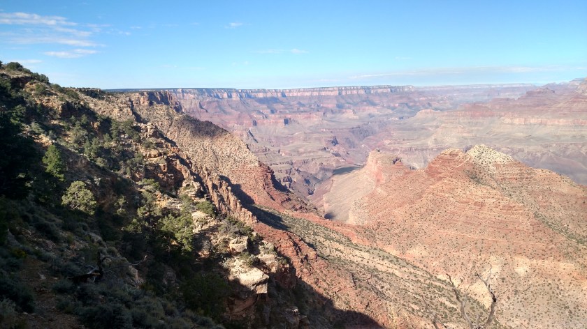
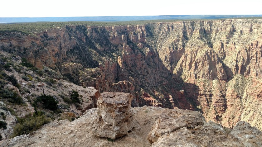
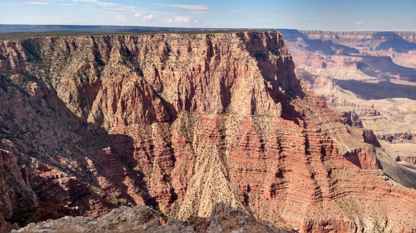
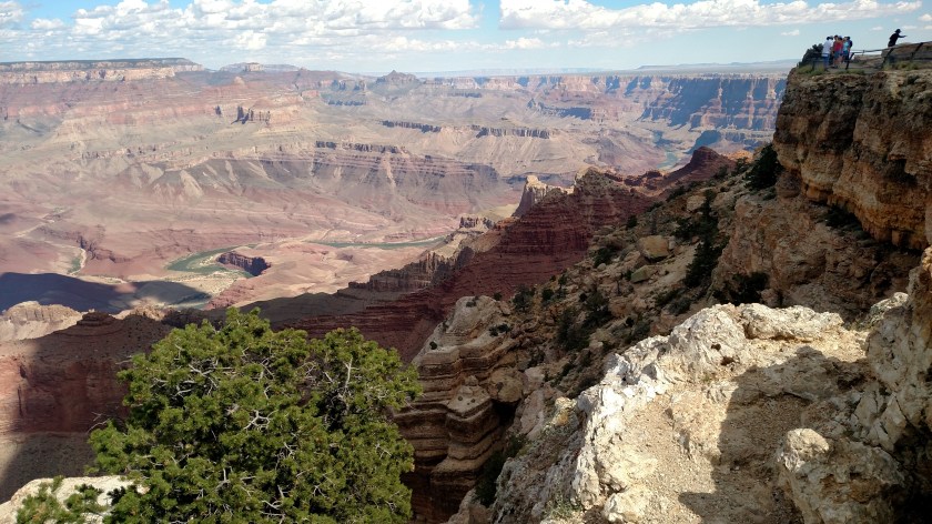
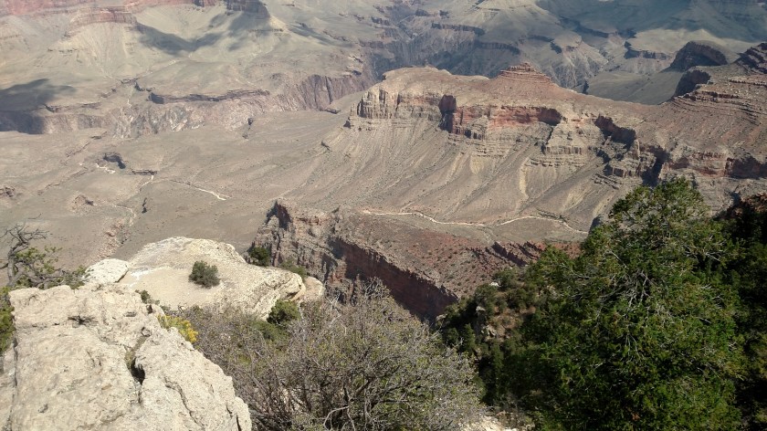
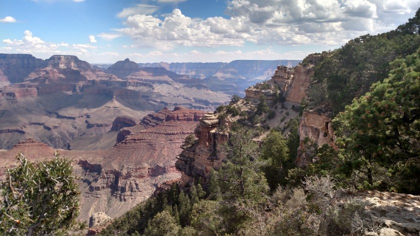
On Wednesday I went back to the Grand Canyon for the second day. I drove north from Flagstaff and went in the East entrance. This took me to several overlooks I could access with my own car before parking at the Visitor Center and taking the Orange Route buses to parts of the Park I hadn’t seen yet. Approaching from the east I started the day with different vantage points than I had the day before, and had the sun at my back.
Rain was moving in to the area (and arrived earlier than they had forecast) but I was able to get a few hours in before things got windy and wet. I would have loved to have parked at the airport, just south of the Main entrance, to watch the many helicopters taking off and landing but the storm looked pretty nasty (it was) so I passed and headed back to Flagstaff before it reached the Park.
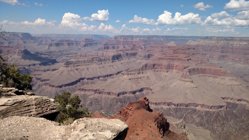
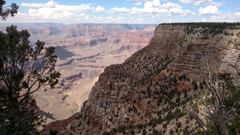
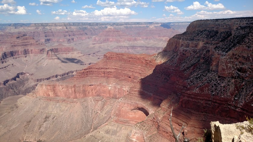
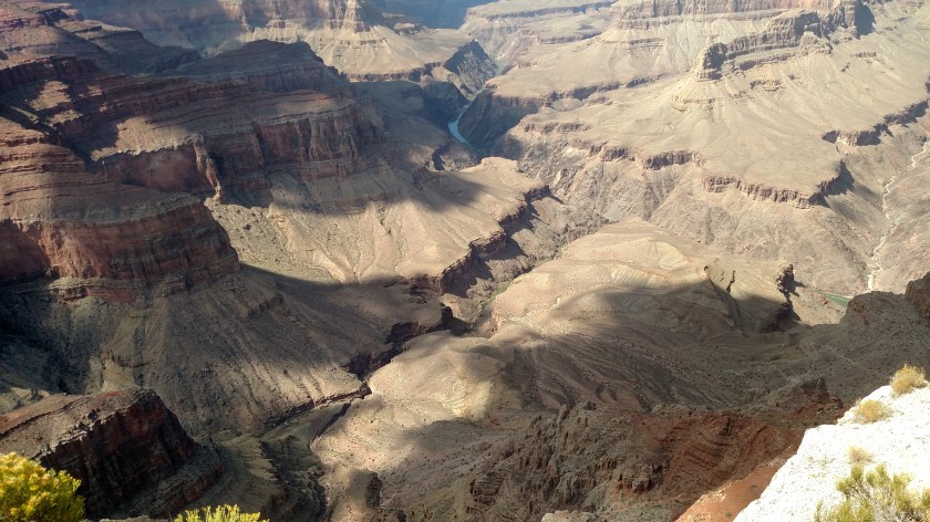
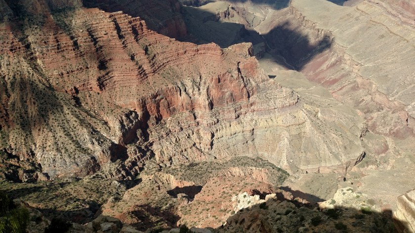
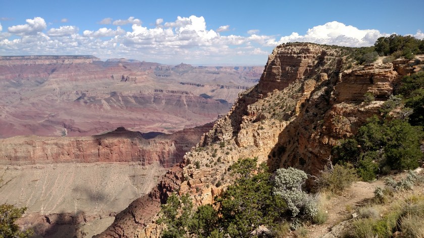
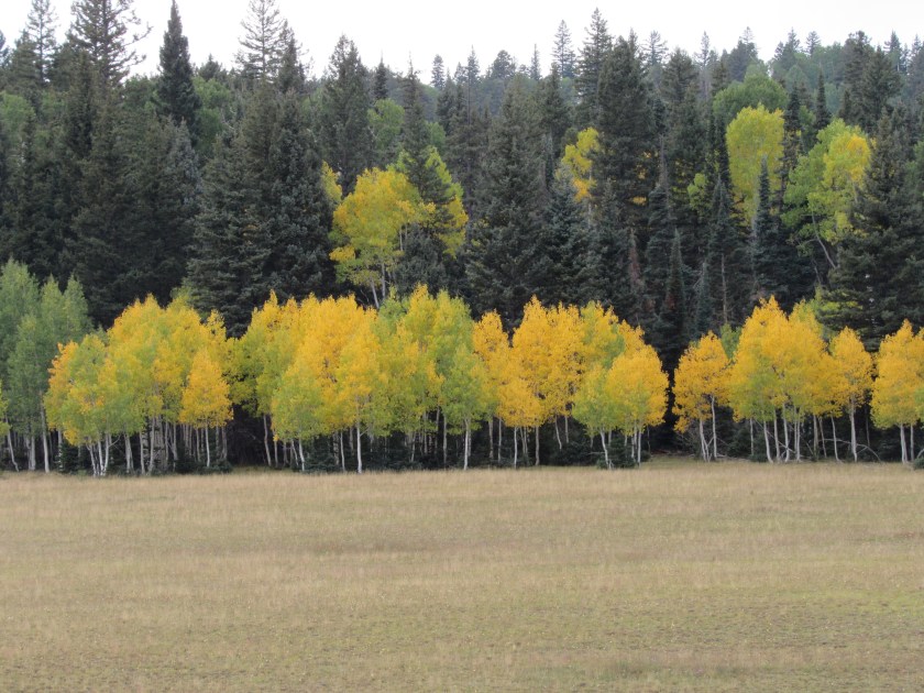
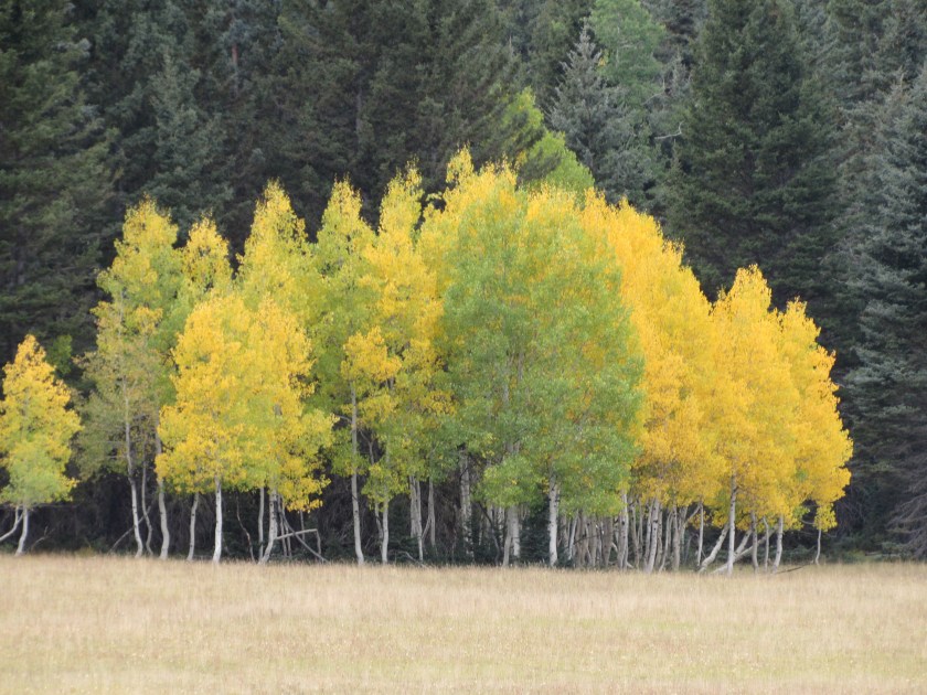
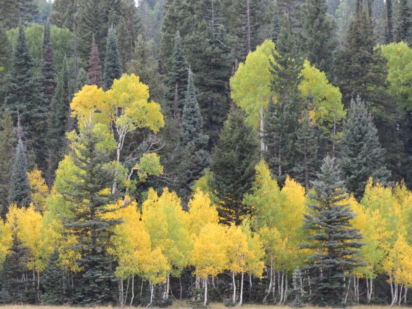
These were all taken with my smartphone camera. I will post closeups, taken with the digital camera, in future posts. As noted before, colors become more pronounced as the day progresses.

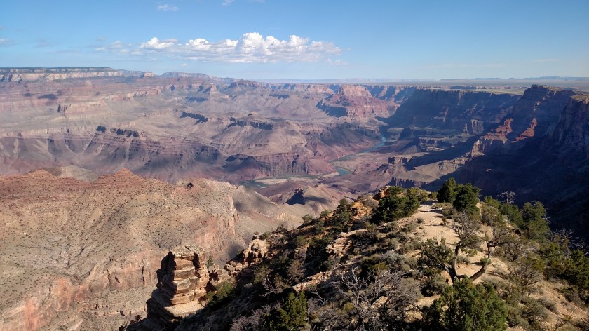
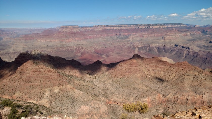

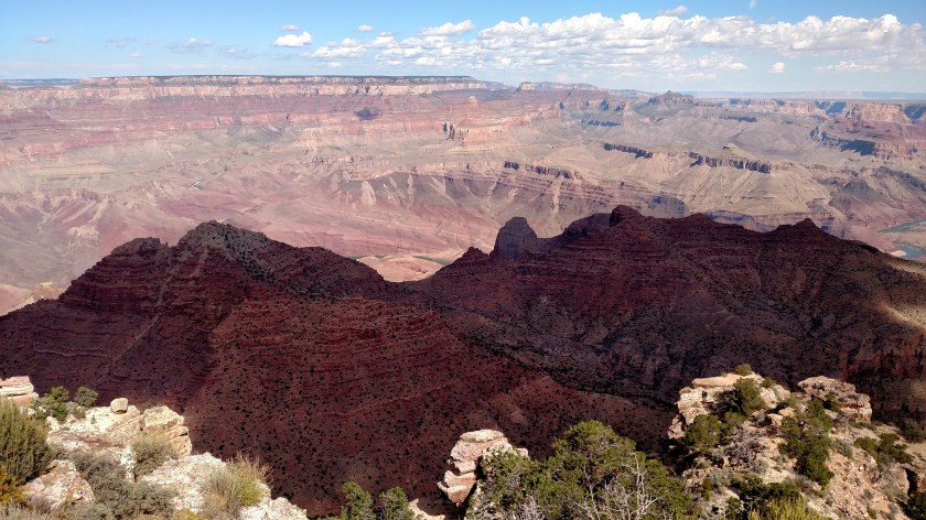

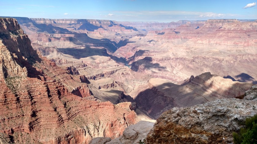
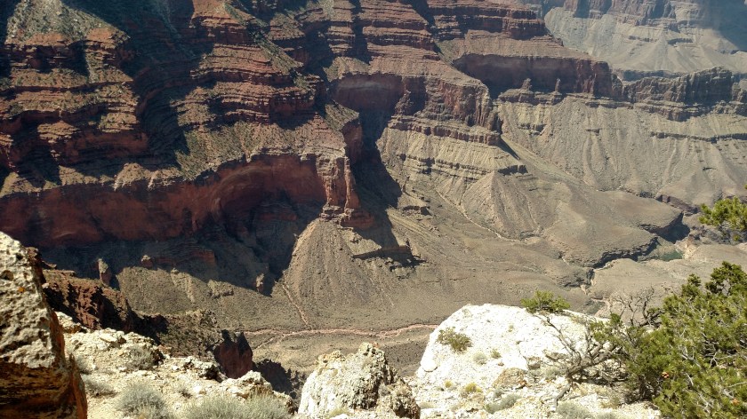
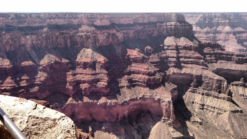
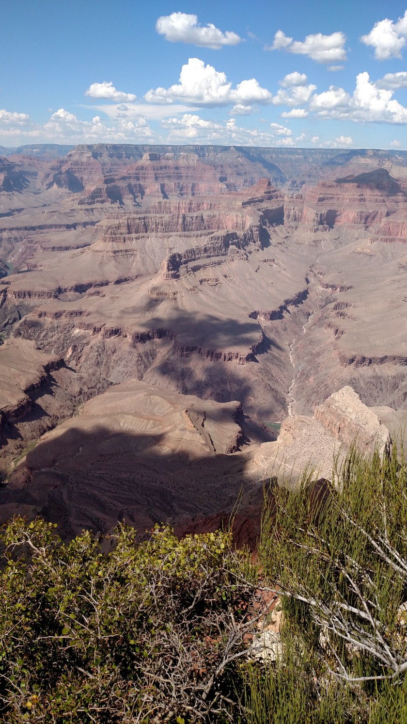
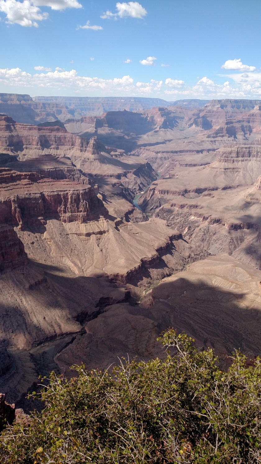
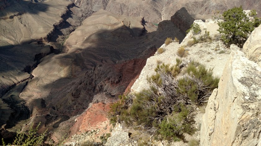
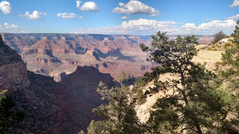
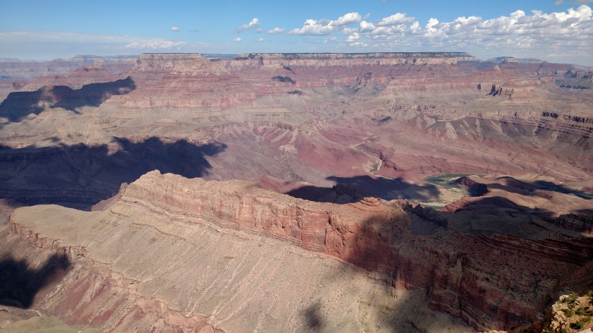
Here are more photos taken with my smartphone. I will post closeups, taken with the digital camera, at a later date. There were more clouds today, as a storm front was moving in to the area, so there are small pockets of shadows which moved quickly over the landscape.

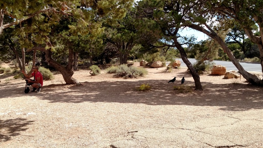
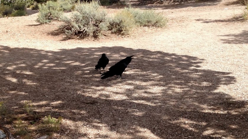
Large, black ravens were among the several birds which put on quite a show over the Canyon. I will address the birds and their behavior in a separate post, possibly tomorrow. I did get these two pictures which give you some idea just how big they are. Ravens are part of the same family as crows but are considerably larger. They are jet black and are beautiful creatures. They are also supposed to be extremely intelligent.


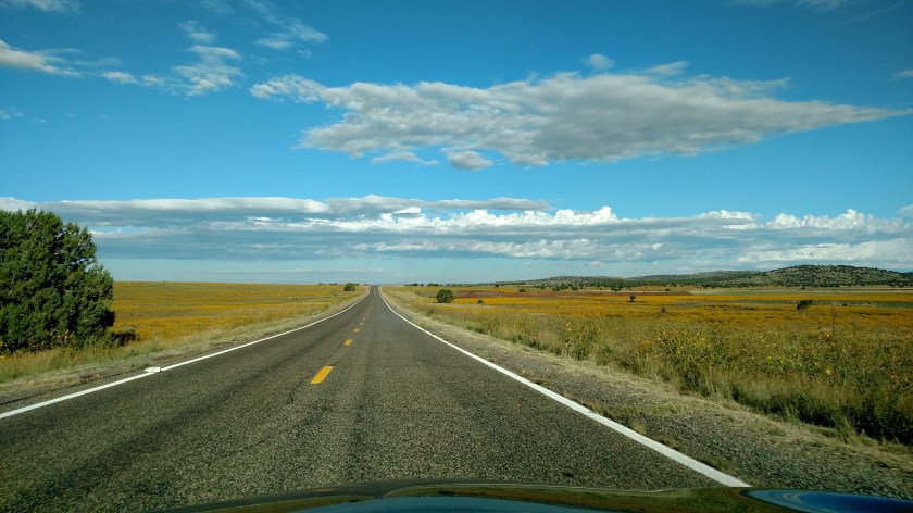
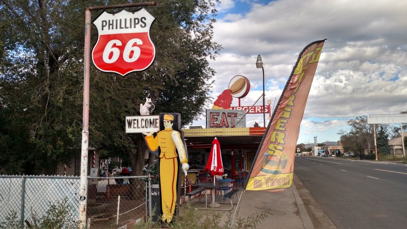
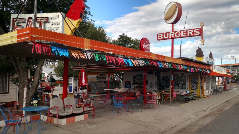
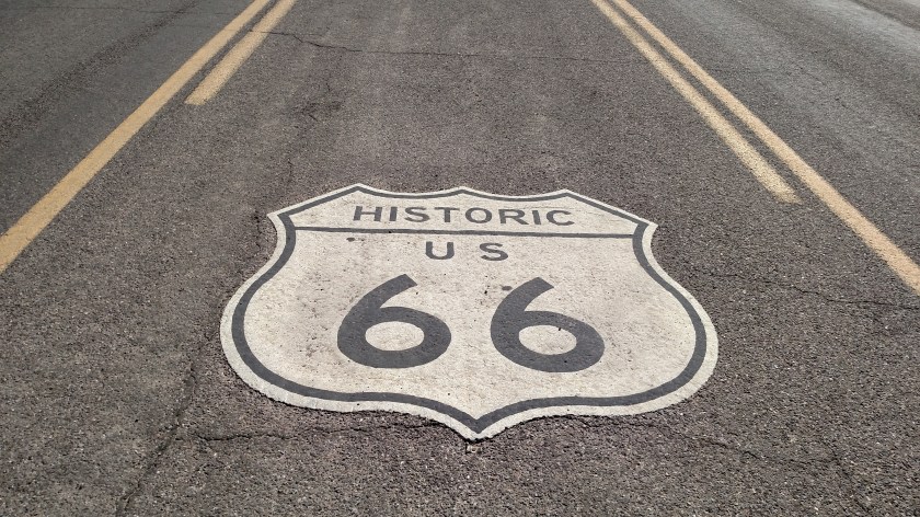
Thursday I headed west of Flagstaff on the dreaded interstate to get to a fantastic, fun to drive 155 mile stretch of Historic Route 66. The portion I drove is separated from the interstate, unlike a portion I drove in Illinois last year which was parallel and, frankly, rather boring. Today’s drive was very different and brought back memories of vacations my parents took me on when I was a kid (remember Burma Shave signs???). It was quite an enjoyable drive.
I tried to capture photos of established businesses (some, closed, unfortunately) that have been there since the glory days of “The Mother Road”, not just opportunists who bought a property on the route and have tried to make it “look old”. I wish I had brought my Asleep at the Wheel CD to play the “I Get My Kicks on Route 66” song over and over while I drove….
First town – Seligman:

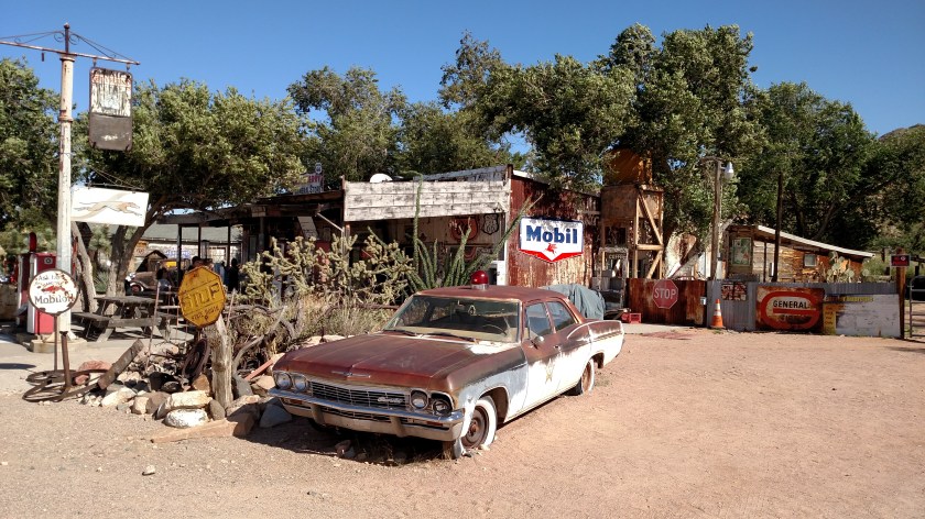
Between Seligman and Peach Springs:

This (below) was past Valentine, near Hackberry. Yes, there is an active business buried under those trees.

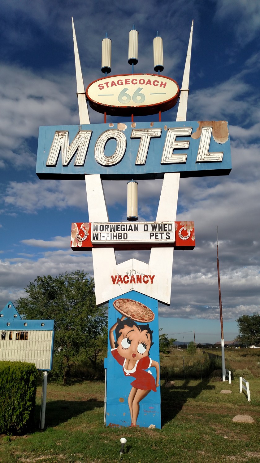
This was in the town of Kingman, the largest town I visited along the way:

Also in Kingman. Of course The AmazingMrD (me) would have to come back and have lunch here on the return trip. Best chili dog and root beer I’ve had in a while….

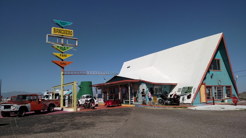
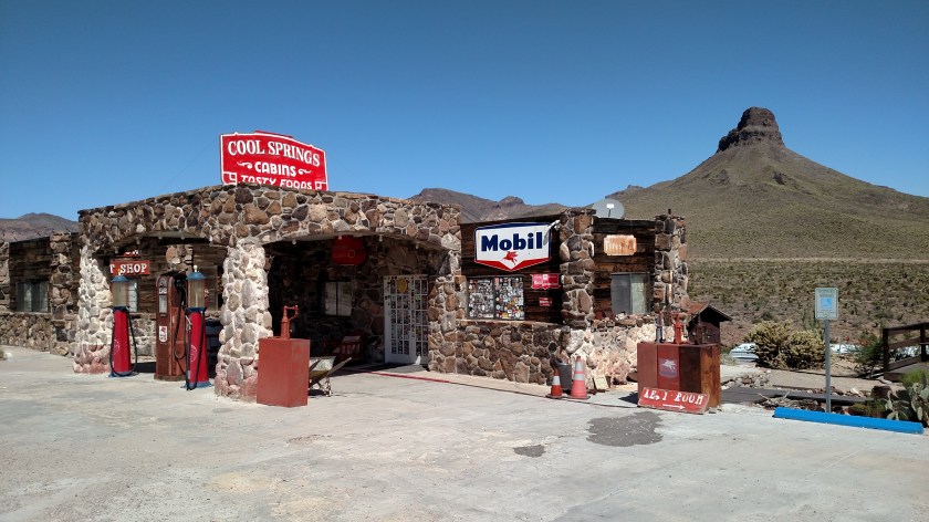
In Cool Springs, before traversing a tricky stretch of narrow, winding, mountain road.

When I got to the town of Topock (right at the border with California) I cheated and took the interstate 45 miles back to Kingman, where I had lunch and then took the old road back east towards Seligman. The leisurely drive ended up taking all day, but was very enjoyable.
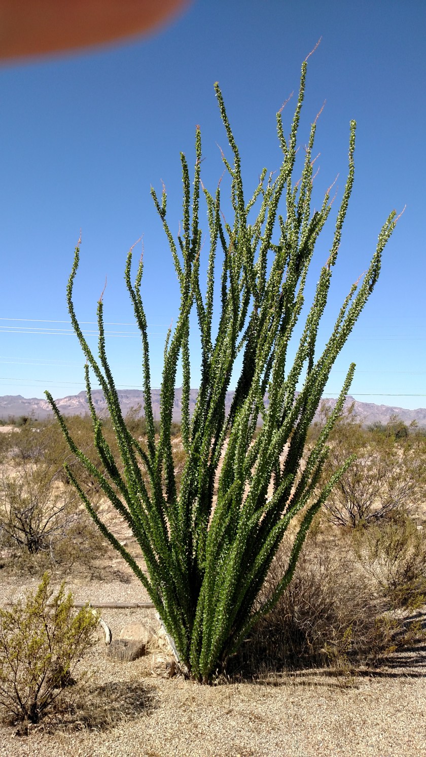
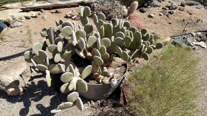
Here are some other things I saw along my drive today.


Once I got past Kingman things transitioned very quickly to desert. The last portion of the drive from Kingman, through Oatman and on to Topock was rough country, but very scenic and fun to drive.

Signs at the stone building in Cool Springs (which is an active business, but wasn’t open today) directed you to the “Rest Room”, which was merely a facade leading to the open desert. It did have a sink, mirror, soap and towel dispenser so you could “freshen up,” though….


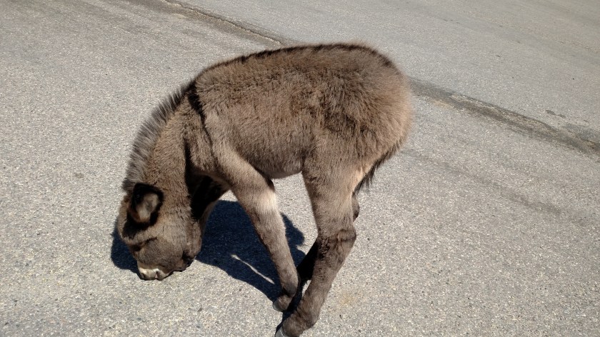
This young burro was so intent on licking salt off the road it didn’t seem to care anything about what was going on around it. He/she was standing right in the street in the little town of Oatman.

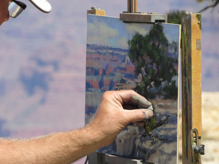
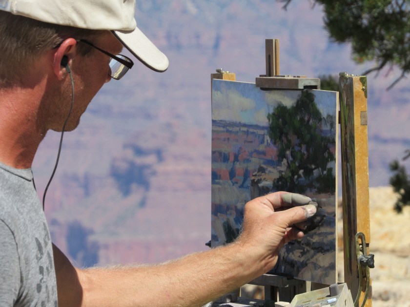
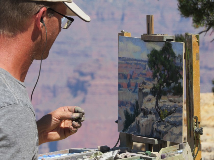
Yesterday I posted two photos of a gentleman creating a piece of artwork based on what he was inspired by at the Grand Canyon. Here is a closer look at what he was working on.


Monday morning I left Kanab to head south to the North Rim of the Grand Canyon one last time before going on to Flagstaff, Arizona for 4 nights. These were some of the things I saw before and after leaving the Park.
Before getting to the entrance of North Rim I went through the little town of Jacob Lake. I have actually been spending a good bit of time there lately, trying to get a photo of an animal which is unique to this area. I only saw three, and never was in a position to get a good photo, so I have resorted once again to the miracle of the internet.
This is a Kaibab (pronounced k-EYE-bob) Squirrel, found only in a very small area between the town of Jacob Lake and the North Rim. This area is within the Kaibab National Forest which has lots of Ponderosa Pine, a type of tree favored by these squirrels. The three I saw were all larger than a normal squirrel, had dark brown (almost black) fur and big, puffy snow white tails. A ranger I spoke with in the Park said she had seen a lot fewer squirrels this year than she has in the past, which is perhaps why I had such a hard time finding any.
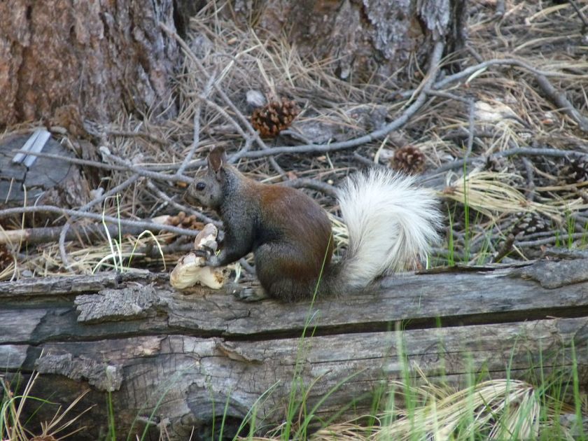
(Photo credit: wikimedia.org)

(Photo credit: ejphoto.com)
The rest of these pictures I took myself.
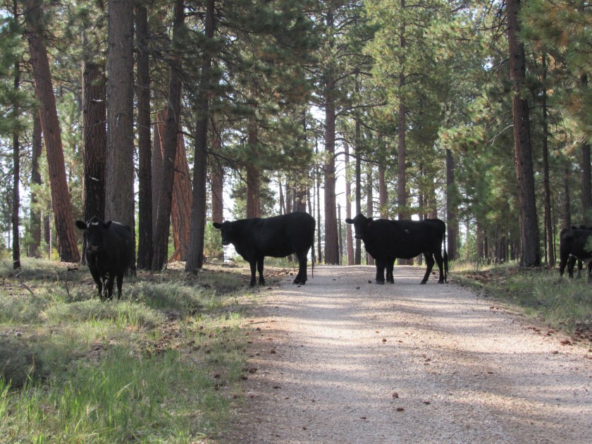
As I was traversing the 7-mile stretch of Forest Road 205 for the umpteenth time looking for the elusive Kaibab Squirrels, I came across this group of Moo Cows. This time I was way outnumbered (there were more off to the right) and they looked like they meant business. I figured they would probably block my way until I gave each of them some moo-lah and all I had were large bills, but after taking a few photos I started driving forward slowly and sure enough, the seas parted and I was on my way.
Further on down the road I saw what I am quite sure is a California Condor circling slowly off to the right of Route 67. He had been circling quite low but by the time I turned around and went back he had gone up much higher. It it hard to follow a bird in flight when you are zoomed in on it but I was able to get one clear picture.
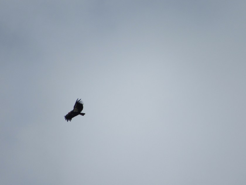
It was huge, and had feathers extending out from the tips of it’s wings which is why I think it was a condor and not just a run-of-the-mill vulture. I would see more condors once I got down to the South Rim of the Grand Canyon.
This is the sign they use in Arizona to indicate you are on a Scenic Byway.

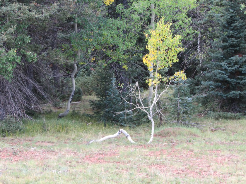
Before getting to the Park entrance I saw some more colorful Aspen trees, as well as a few with oddly shaped trunks.

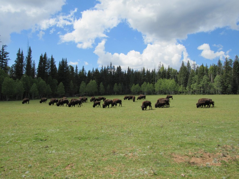
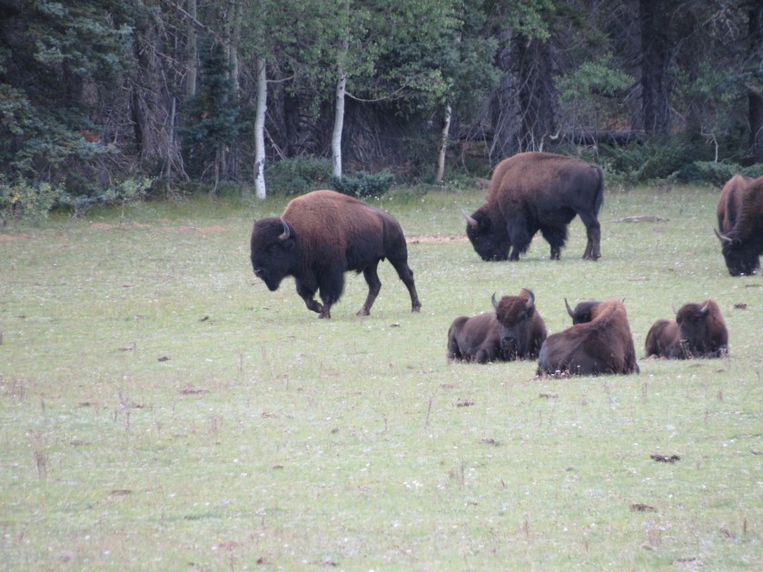
About a quarter mile after passing through the entrance to the North Rim there were two large herd of bison, close to a hundred on each side of the road. They seemed oblivious to the tourists who were all stopping to take pictures (the ranger at the gate told us to stay in our vehicles but not everyone listened. I did – I took these by holding the camera out the driver’s side window, or looking through the open passenger’s side window).

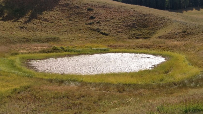
Further on down the road I passed a tiny pond off to the left side of the road. What caught my eye was that the edge seemed to glisten, as if the sun was reflecting off shards of glass. I went back and got out of the car, trying to capture that effect on camera but was unsuccessful. What I was seeing was, in fact, the sun reflecting off small spots of water around the perimeter of the algae which was on the surface of the pond. The sun did give the entire algae layer a silvery glow.
This is a cairn. A cairn is a man-made pile of stones, often used as trail markers or as a landmark. I have seen many simple cairns, a small stack of similarly shaped stones in a pyramid-type pattern, made by industrious individuals at various places but this is, by far, the most elaborate one I’ve seen so far. It was on a small, gravel back road I was using to get to a scenic overlook. Somebody had lots of time on their hands and used it very creatively.

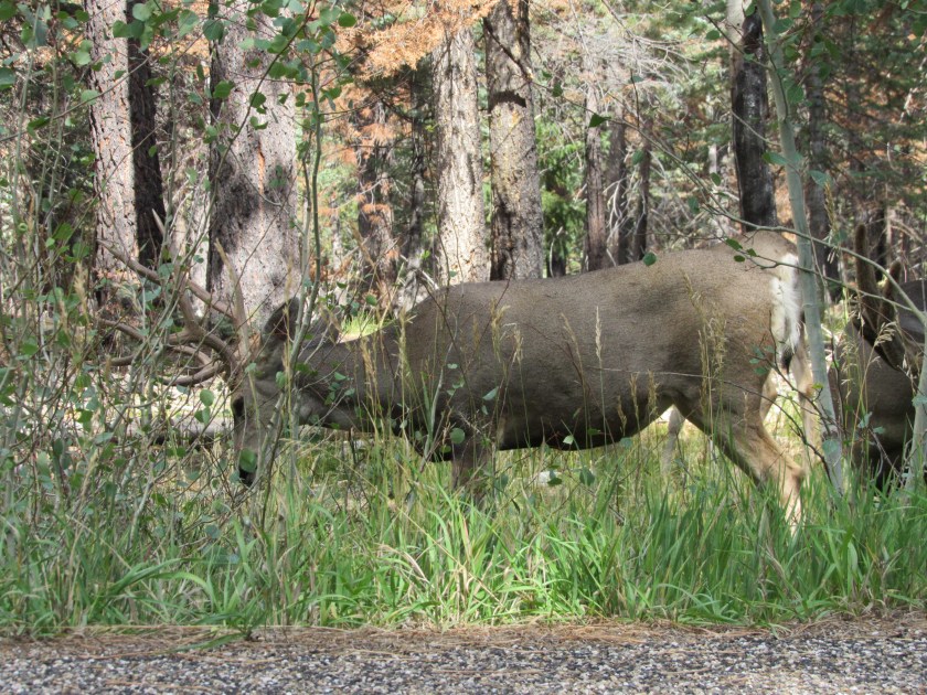
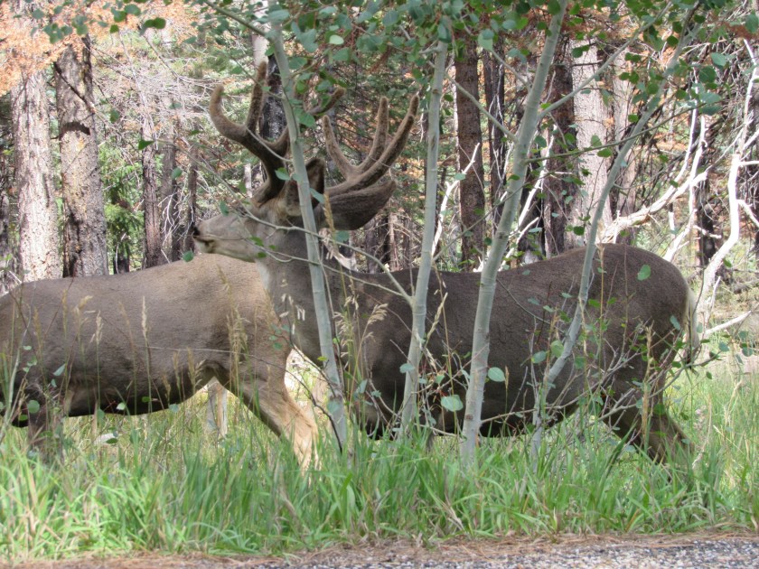
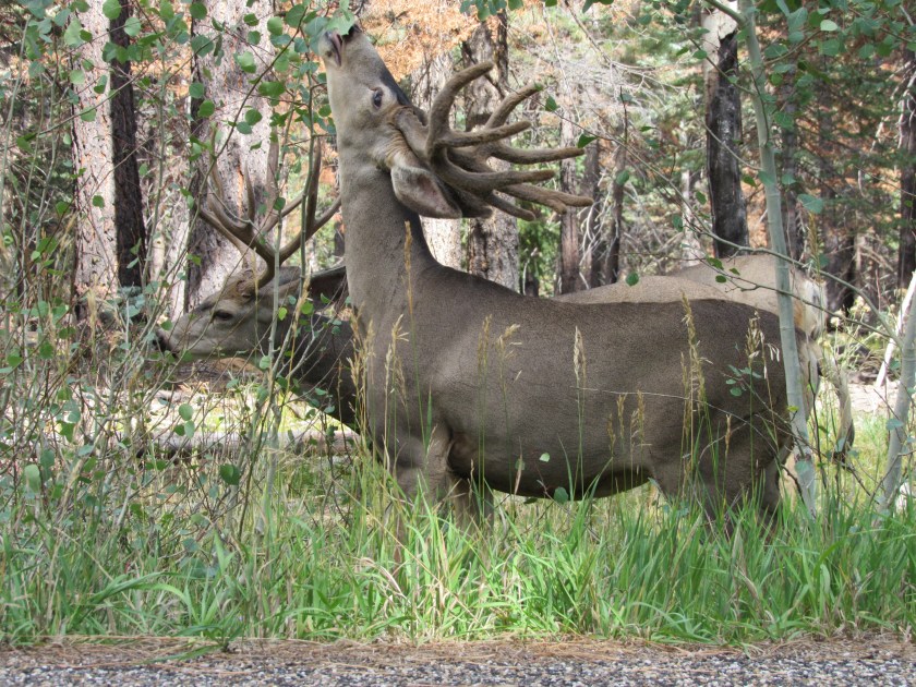
I finally made it to the Lodge inside the Park and spent some time out near the campground looking for Kaibab Squirrels. As I was leaving I saw these two bucks devouring an Aspen bush right next to the road. Again, these pictures were taken without leaving the comfort (and safety) of my car.
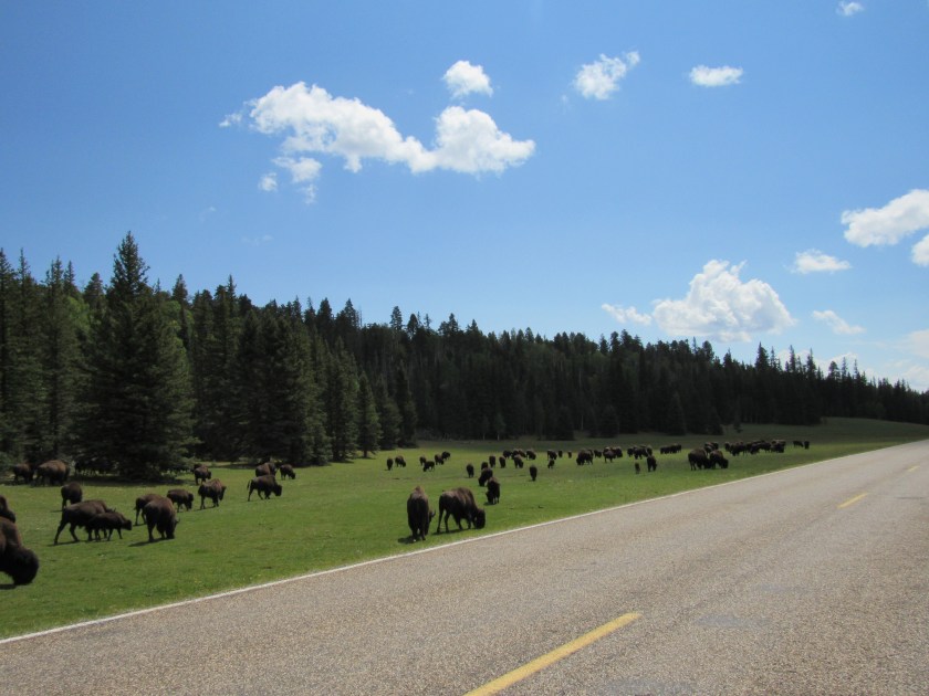
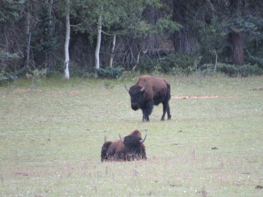
When I got to the entrance gate the bison had all shifted to the left side of the road and were further off the road, taking it easy. This is only a small portion of the 140+ bison I saw as I was leaving the Park.

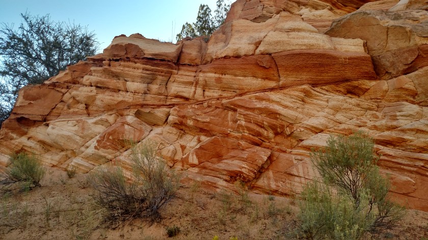
Sunday morning (the Sunday after Labor Day weekend) I headed north out of Kanab on Route 89 with the intent of spending a good portion of the day in Zion National Park, which is not far away. Before I even got to the Park entrance I made many stops to admire and photograph some of the many rock formations located right along the highway. The morning sun really lit up the formations to my left.

And even the elaborate formations on my right caught my eye.


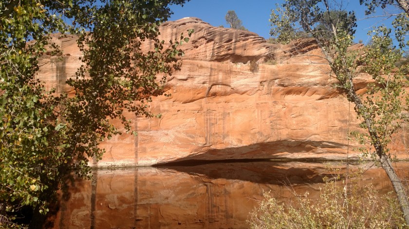
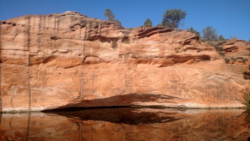
I soon came across an abandoned property which had once been some type of tourist attraction. It was fenced off, with signs warning people to keep out, but I quickly became obsessed with this huge formation with a dead-calm reflective lake in front of it.


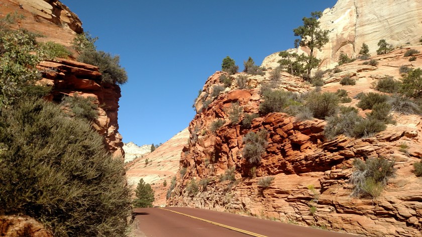
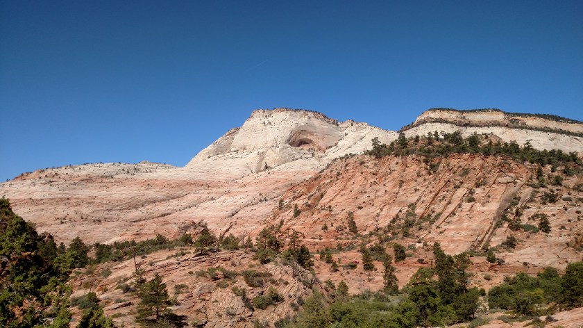
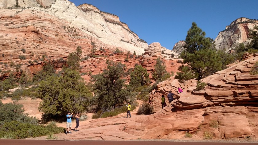
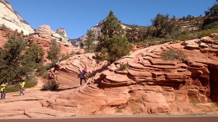
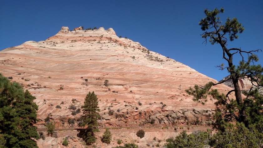
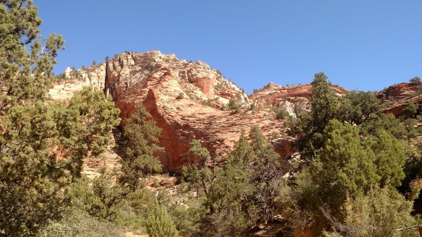
These are some of the things I saw while driving through Zion National Park on the Sunday after Labor Day. These were all taken with the smartphone camera. Closeups taken with the digital camera will be posted later.
My original plan was to park my car when I got to Zion and use the Park’s bus system to get around. Parking is very limited and there is one big section of the Park which is only accessible by bus. When I saw the amount of traffic in the Park, especially the number of tour buses, I quickly decided to simply stop at as many pullouts as I could and abandoned the bus idea. Consequently, you are only seeing a small portion of what Zion has to offer.
I was at Zion several years ago and of all the National Parks I have actually been to so far, it is one of my favorites. I strongly encourage everyone to visit it and see for themselves. It is a quick, easy ride from Las Vegas and can easily be seen in one day. Just don’t come the Sunday after Labor Day!