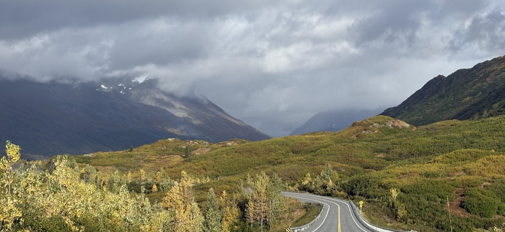
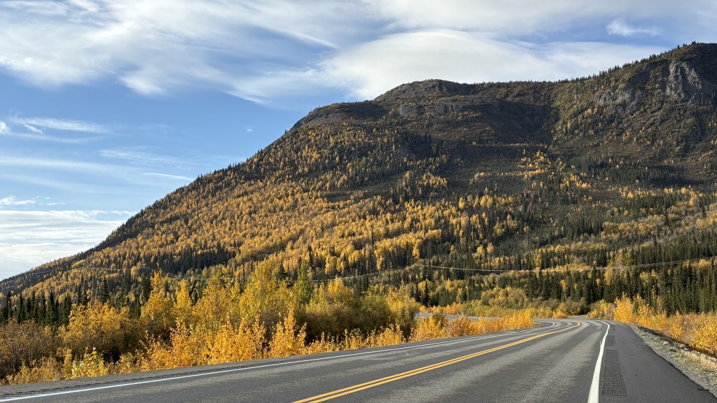
Today I will make a daytrip to Hatcher Pass, northeast of Anchorage. This excursion was recommended to me by one of my fellow Airbnb guests in Anchorage. He told me there would be some great views and that I might see some wildlife. Although I did not see any wildlife it was a beautiful day and it was an enjoyable drive.
Here is a map of the area. The road from Anchorage comes up from the bottom. At Gateway, Hwy 3 goes west towards Wasilla, Willow and, eventually, Denali National Park and Fairbanks. Where the roads meet in Gateway, Hwy 1 continues east towards Palmer, Glennallen and, eventually, Tok.
(Photo credit: Google Maps)
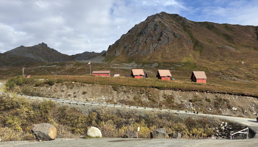
When I got to Wasilla I stopped at their Visitor Center to make sure the Pass was open to traffic. When I had read about it online it said that the road is often closed from late September to July (!) and I was here on September 25. The road I took isn’t shown on the map but if you draw a line from Wasilla to just above Fishhook and then to the red marker that is roughly where the road took me going up. After going over the Pass the dirt (at that point) road went west, roughly through the gap in the mountains, and eventually came out on Hwy 3 at Willow.
The road was paved all the way to the dirt/gravel road which climbed the Pass. If I had stayed on the paved road it would have taken me to the historic Independence Mine site. There are several mines in this area.
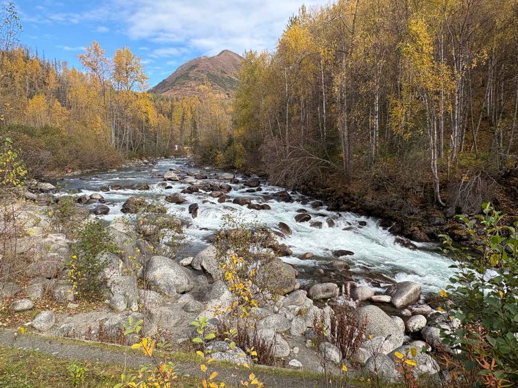
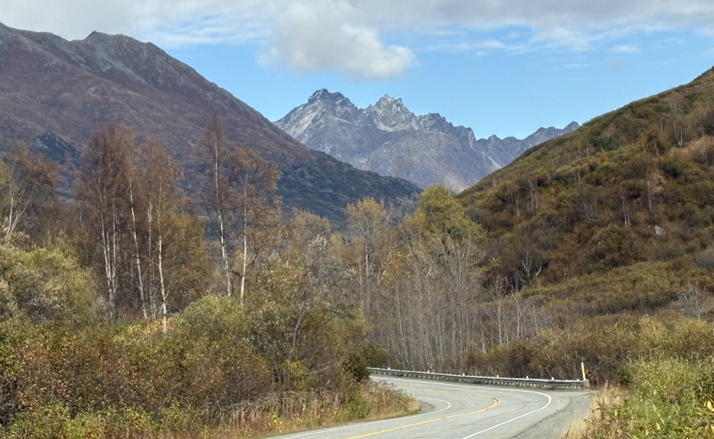
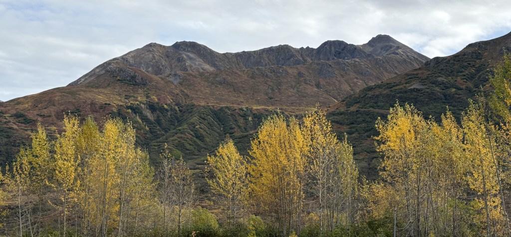
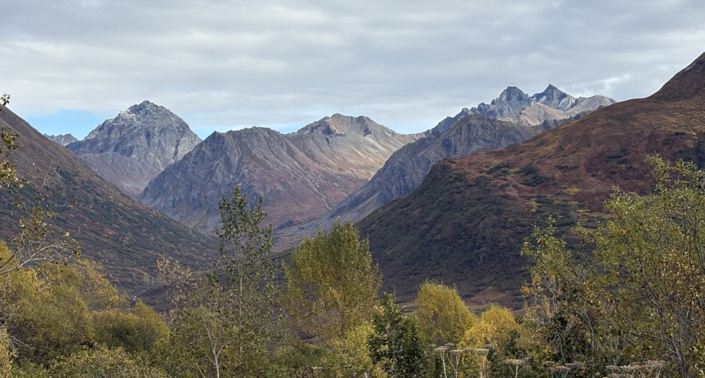
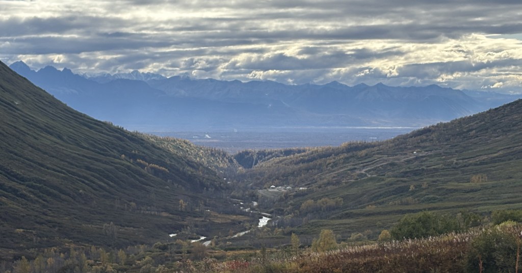
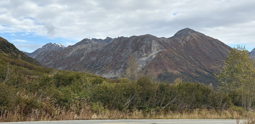
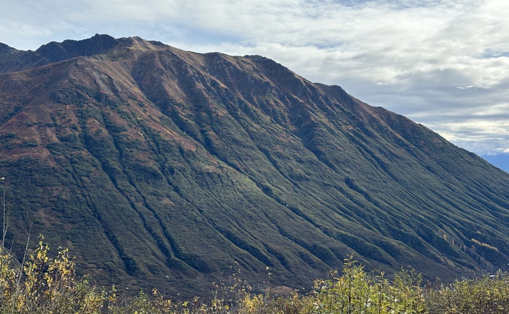
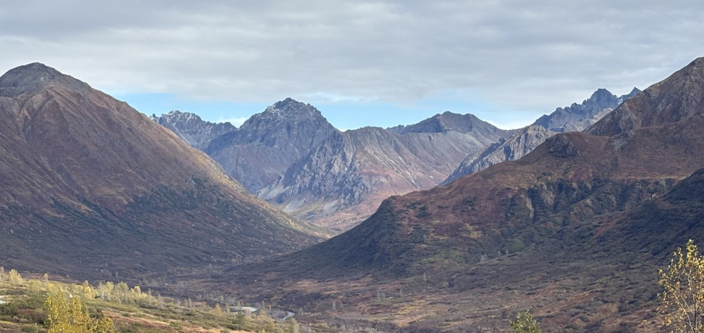
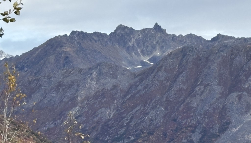
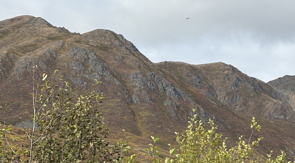
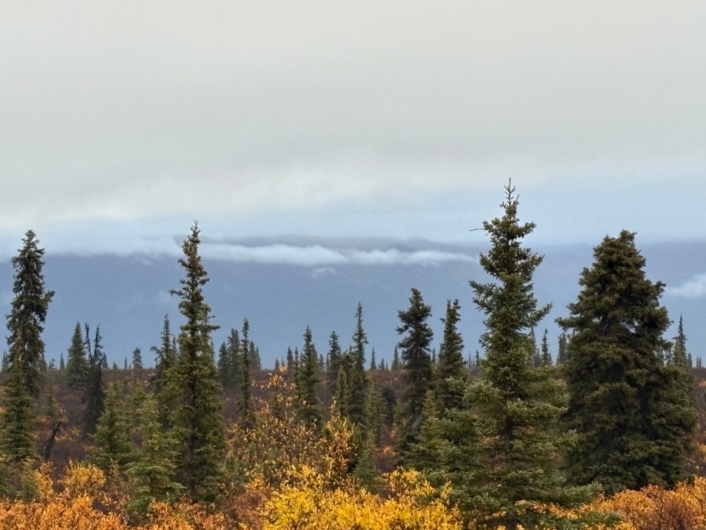
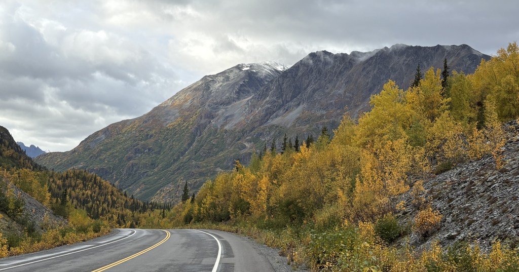
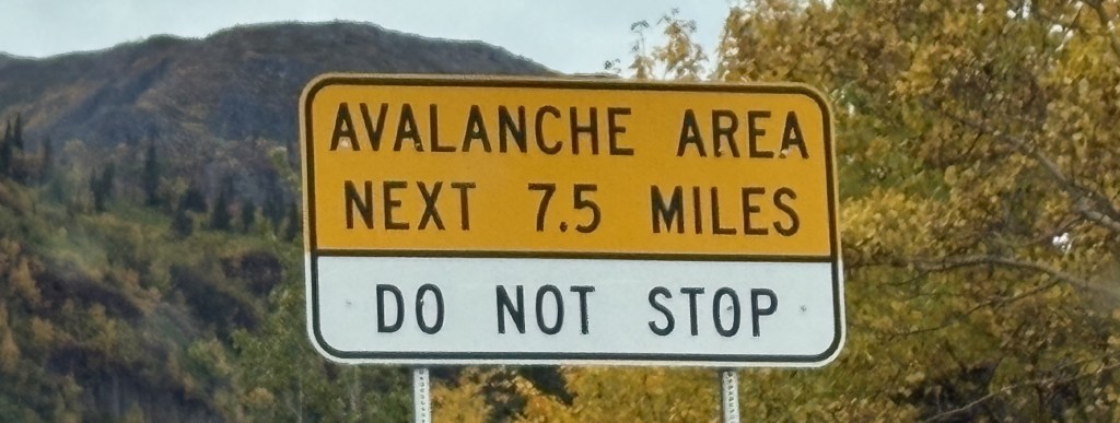
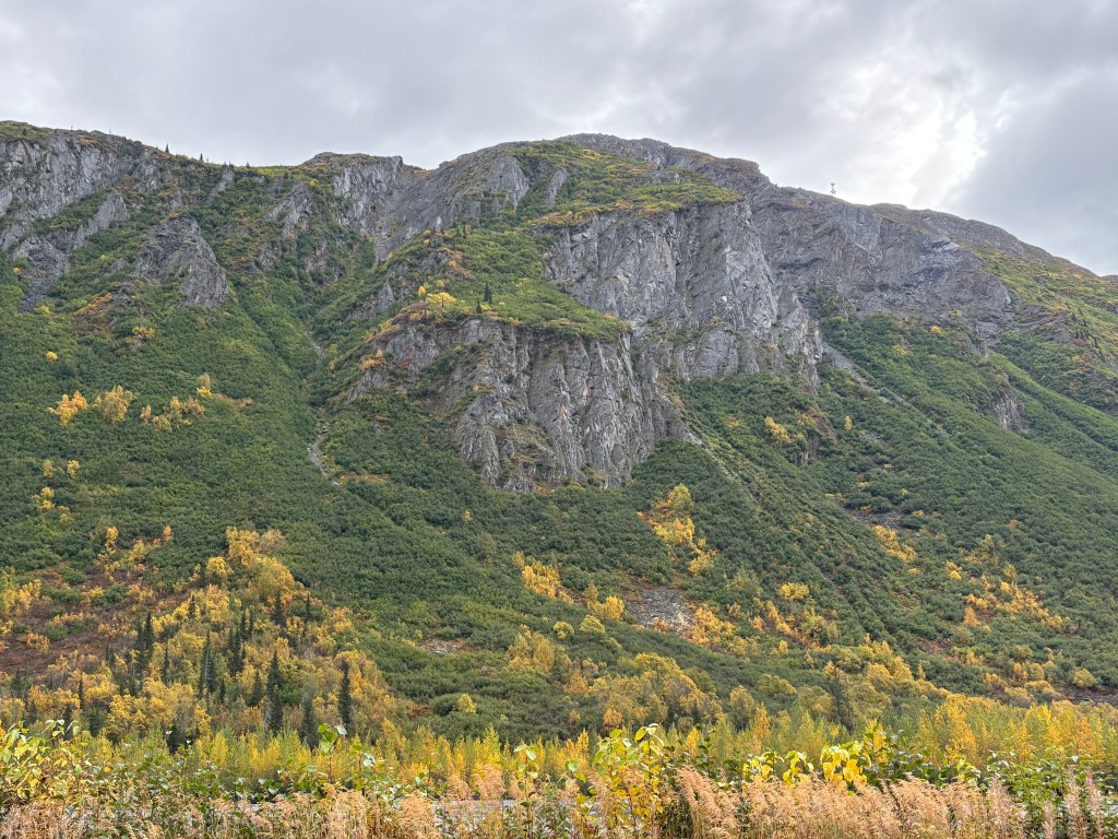
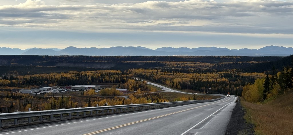
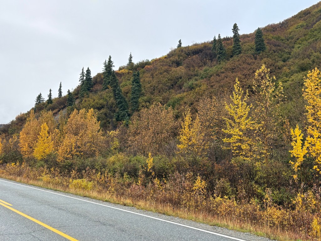
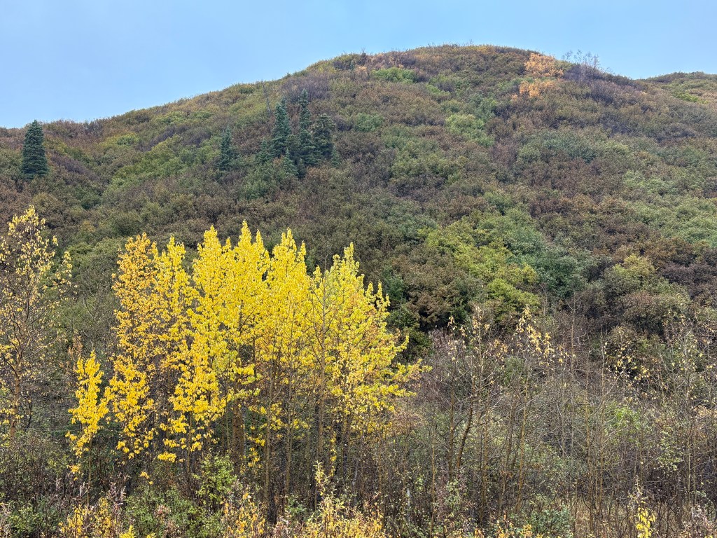
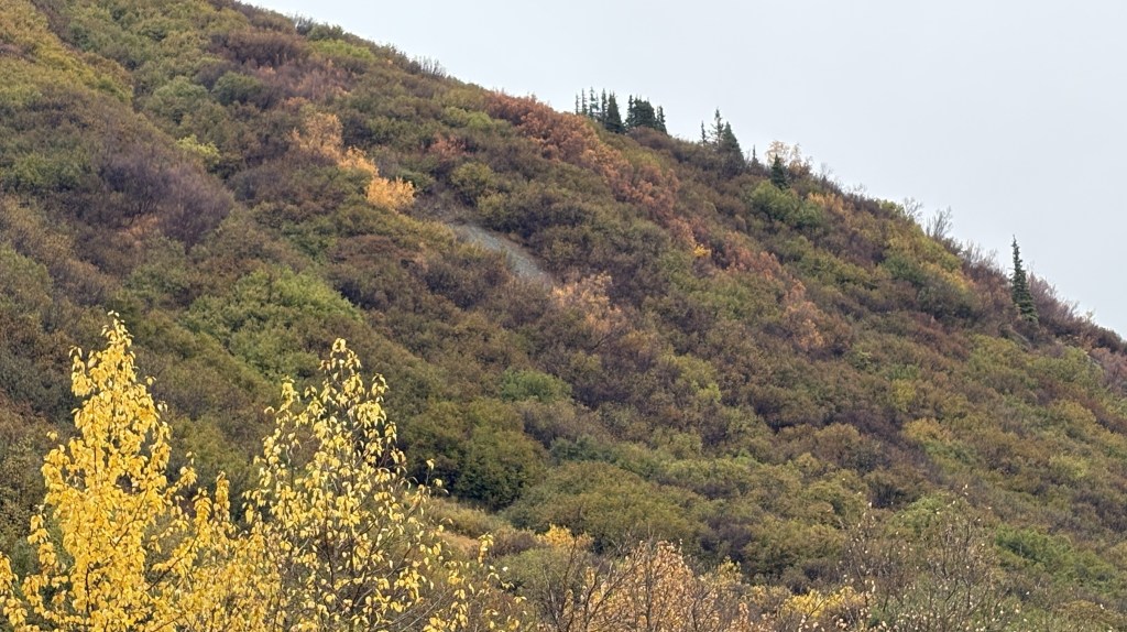
Here are some of the things I saw on my way up to the Hatcher Pass access road:
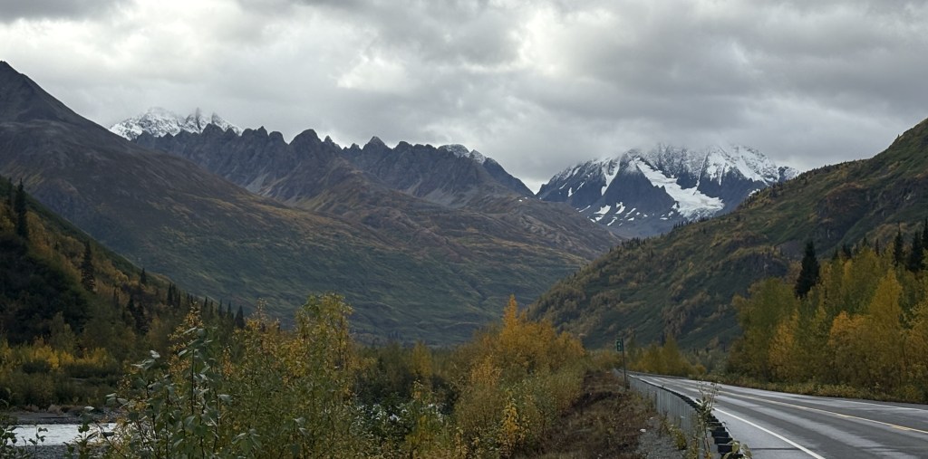
The photo above is of the view back towards the valley I believe I had driven through and is looking at the mountains east of Anchorage.
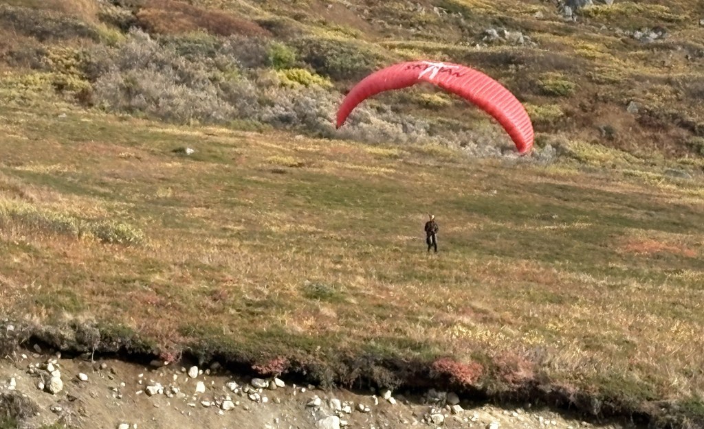
If you look closely you’ll see a paraglider above the mountains in the upper right of the photo above. I parked at the access road to the Pass and watched as the pilot gradually made his/her way to land across the paved road from where I had stopped.
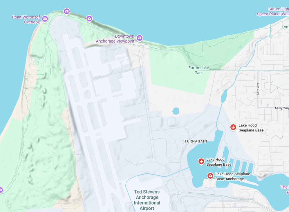
I would spend the day in Anchorage and spent most of my time out by their International Airport which is located west of downtown, adjacent to Cook Inlet.
I am adding some more text here to try and get the map below to show up a little bigger in the post!
(Photo credit: Google Maps)
Cook Inlet is on to the left on the map and is a large body of water which comes up from the ocean. North of town it curves to the east and is called the Knik Arm (and there is a Knik River which the highway crossed as I drove in to town).
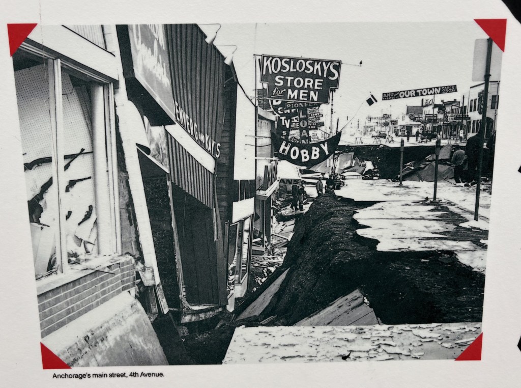
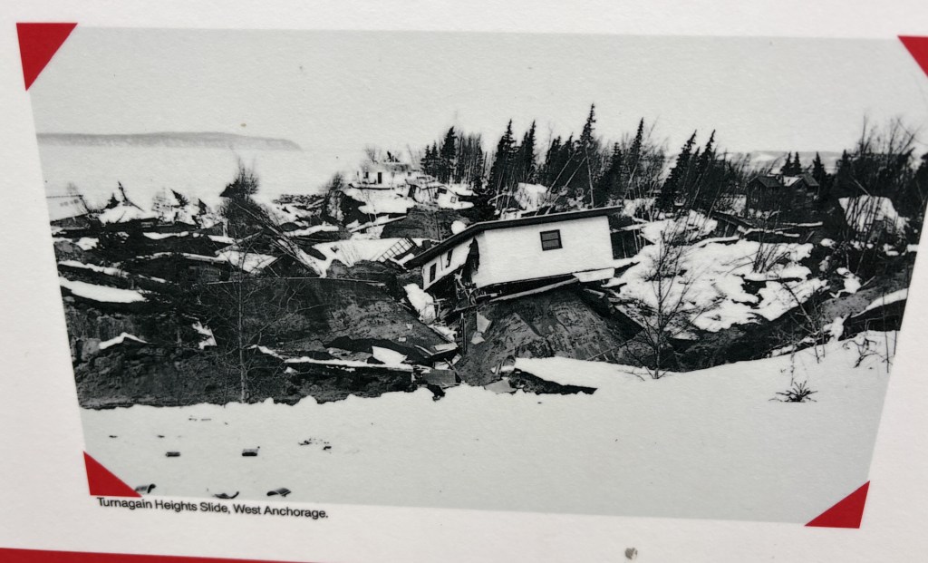
My first stop was Earthquake Park, which is in the upper right portion of the map. This was where much of the deadly damage occurred in the tragic Good Friday Earthquake which struck at 5:36 pm on March 27, 1964. The quake measured 9.2 and was centered about 80 miles east of town. It generated more energy than the eruption of Mount St. Helens.
A swath of land adjacent to where Earthquake Park now sits literally slid into the Knik Arm, taking 75 homes with it. The fact that it occurred late in the afternoon undoubtedly saved countless lives. Signage at the Park stated that parts of town dropped 15 feet, and 9 people died.
Here are some photos that were on signs in the Park.
The photo below was taken in Seward, where I will be going in three days.
When I was in Homer (coming up later in my trip, after Seward) a nice woman in the Visitor Center gave me a book about the earthquake but I haven’t had a chance to read it yet. I did learn with a little research online that both Valdez and Seward had considerable damage from the quake and they are even further away. In Seward 13 people died, and there were 40-foot waves which struck the town at an estimated 100 miles per hour. In Valdez, where only 1,200 people lived at the time, there was so much damage that they rebuilt the town 4 miles east of where it once was.
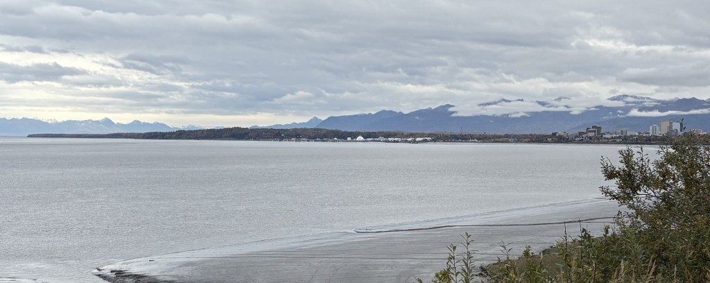
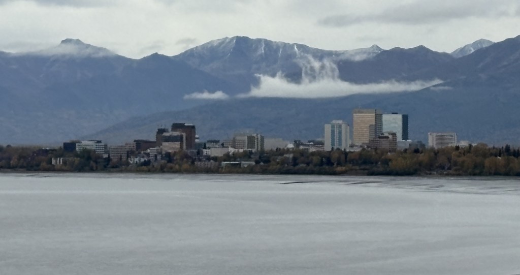
After walking around Earthquake Park for a while I drove further out the small coastal road to another small park with a view of the Knik Arm. There was this view of downtown Anchorage.
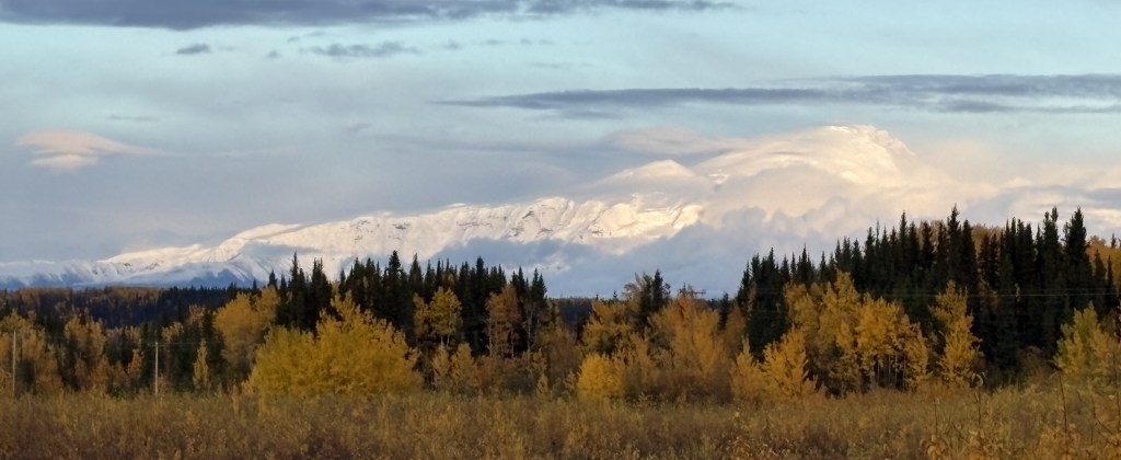
And looking north there was a view of the inland mountains near Talkeetna.
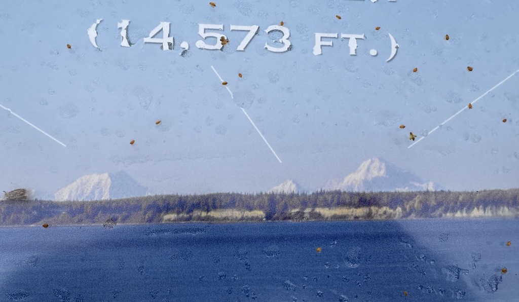
When I drove even further out the coastal road there was a sign indicating that on a clear day you could see Mt. Denali (if it was not shrouded in clouds). They had a photo posted as proof.
It shows Mt. Foraker, Mt. Hunter and Mt. Denali (from left to right). Keep in might that those mountains are angled from southwest to northeast, and Foraker is closer than Denali. The spots in the photo are bugs on the sign!
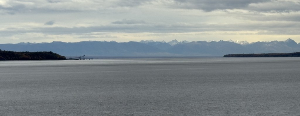
I drove out the coastal road even further to Point Woronzof Overlook which gave a better view looking west, over Cook Inlet, to some mountains and volcanoes in that direction. I thought I could drive all the way around the airport but came to a gate where the signs indicated that it was restricted so I turned around and started driving back towards town.
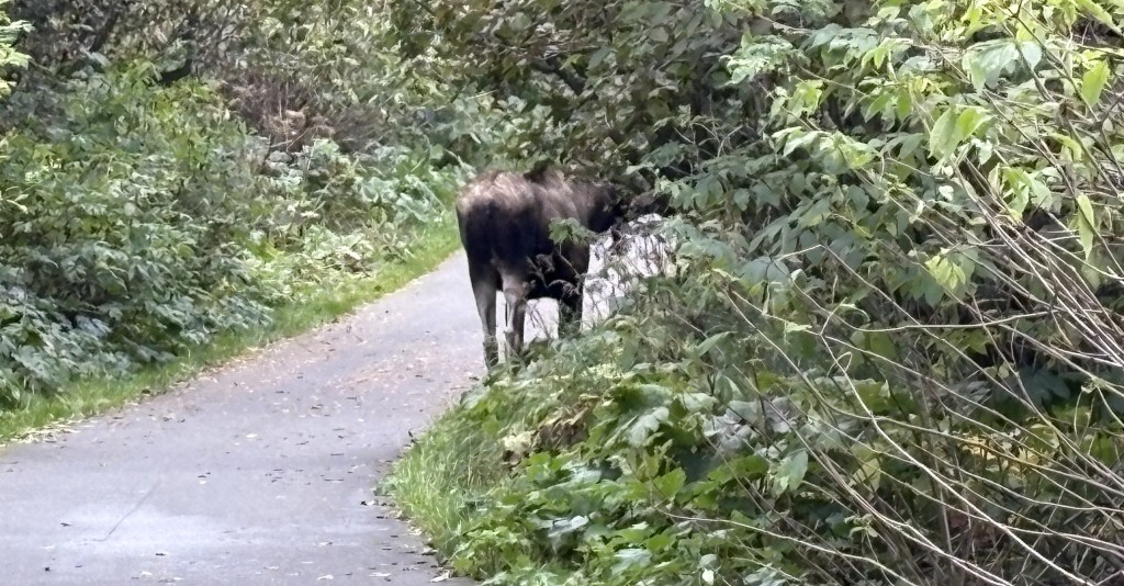
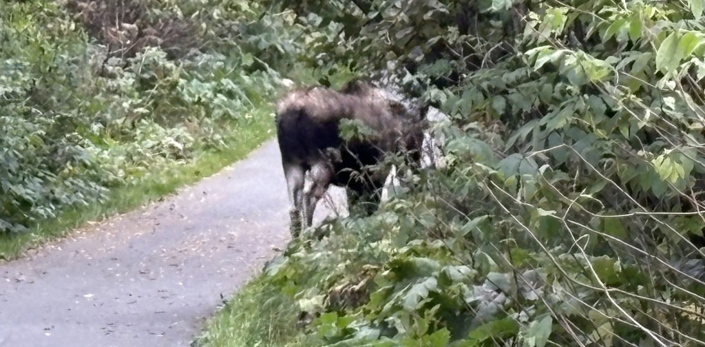
As I approached one of the small areas where I had stopped previously I saw a bull moose trotting along the left side of the road away from me. There was a Fed Ex truck behind me and couldn’t stop to get my phone up for a photo, but the moose turned left and went into the woods. I knew there was another place to park not far up the road. I went there and found that there was a paved walking/bicycle path which lead back towards where the moose had entered the woods.
I started walking on the path and came to a group of people who had stopped. Sure enough, the moose was a little further ahead casually munching on some low hanging branches of a tree.
Shortly after that he turned right and walked even deeper in the woods. I could still see him, barely, and but those photos aren’t very good, and I soon lost track of him. I went back to where I had parked and waited a while, as he had been heading in that direction, but I never saw him again.
Next I drove around the airport on the Anchorage side to visit a huge city park (Kincaid Park) located between the airport and Cook Inlet. I had read, and other Airbnb guests had told me, that moose are frequently seen there. I spent quite a bit of time there, moving around to different parking lots and walking on some of the paths, but didn’t have any luck.
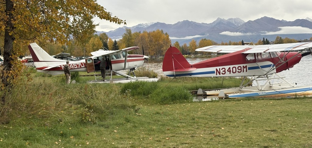
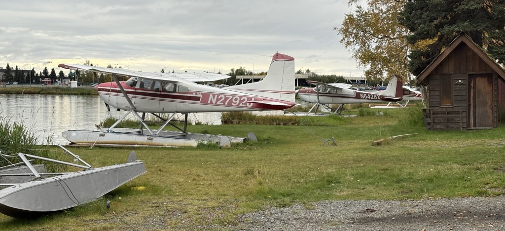
Last, I drove back around the airport and went to a large lake located near airport property (shown on the map at the beginning of this post). Most of it is Lake Hood which has a seaplane base they claim hosts more seaplanes than anywhere else in the US.
There were lots more planes but I somehow felt like I was trespassing so I didn’t linger. I went back to where I had driven in because a seaplane had taken off near there as I was arriving. I was hoping I might see another one “taxi” to that spot to take off but it didn’t happen. A few planes came in to land but by the time they touched the water they were out of sight.
There were small planes and seaplanes flying low over Anchorage all the time. I don’t think I’ve ever been in a large town with planes flying that low. Of course there are several small airports scattered around town, too, so perhaps that is why there were so many.
I will make another post about Earthquake Park once I have had a chance to read the book I was given, and have had time to do more research.
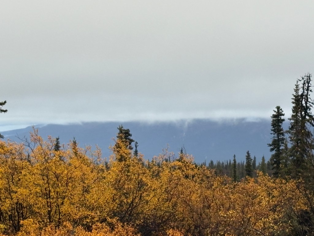
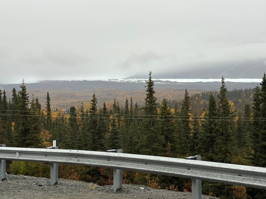
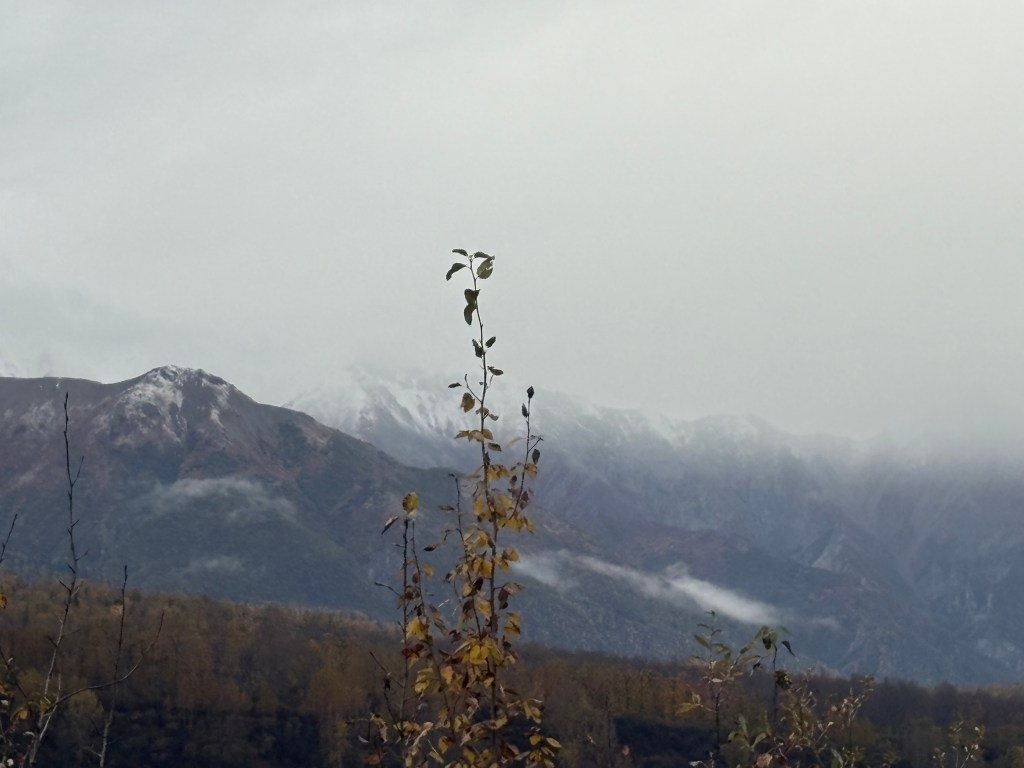
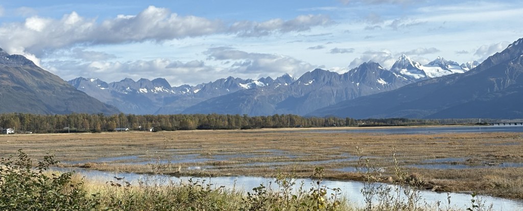
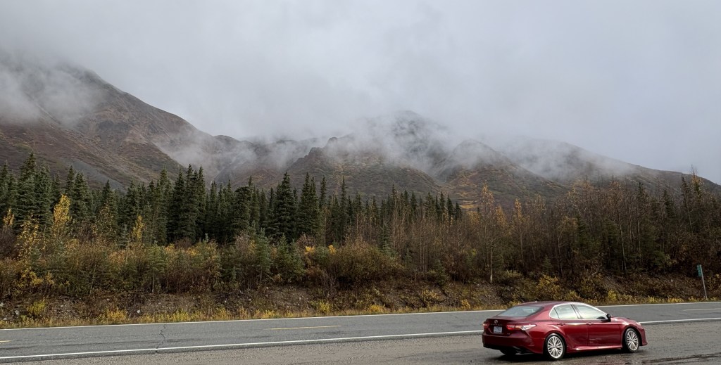
After my daytrip to Valdez I would head back to Anchorage to use it as a base for the next three nights. To get there I will follow the same route as I did when I first arrived in the state. Not many view of mountains, either snow covered or otherwise, today as there was a heavy overcast, low clouds and precipitation in various forms.
There were light showers for the majority of the drive. When I arrived at the portion of the road that went up above 3,000 feet elevation it started to snow, and the already low temperature started to drop. There were light flurries at first but as the temperature dropped to near freezing it started sticking to the vegetation alongside the road and I became concerned about the road, as I had not seen much traffic to keep it warm.
I slowed down, especially when I came to bridges, and just took my time. When I got to where the road started to drop in elevation I still couldn’t see much but got a little more comfortable once the flurries stopped.
When I got out of the mountains as I approached Anchorage the clouds lifted some and the rain stopped.
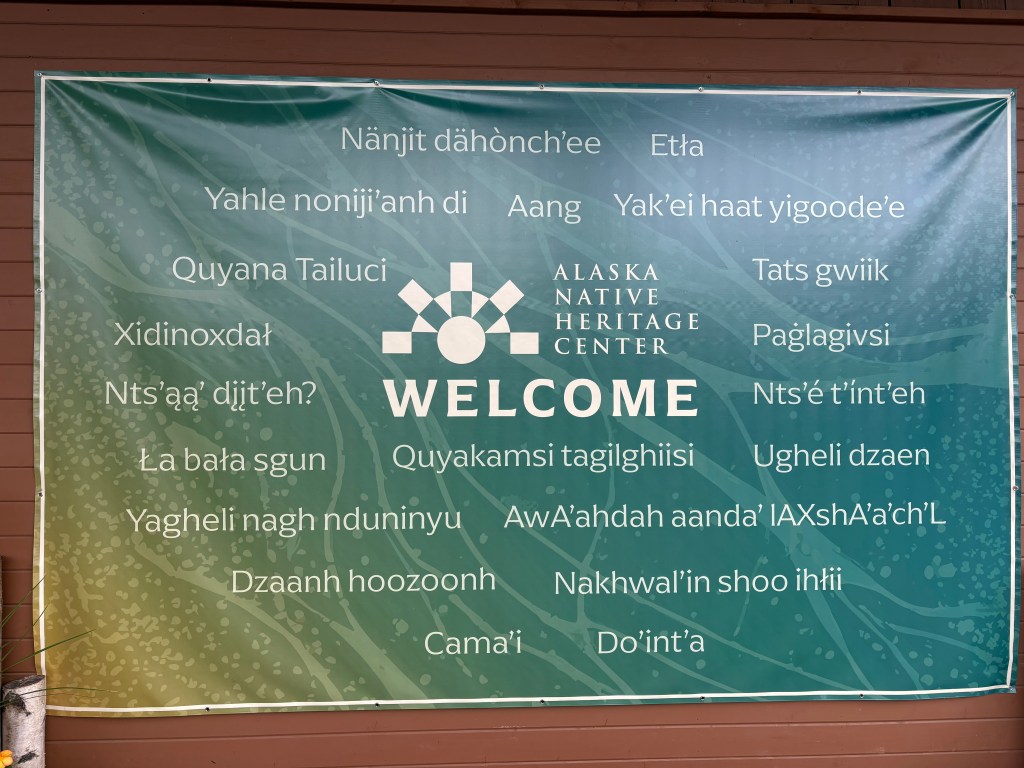
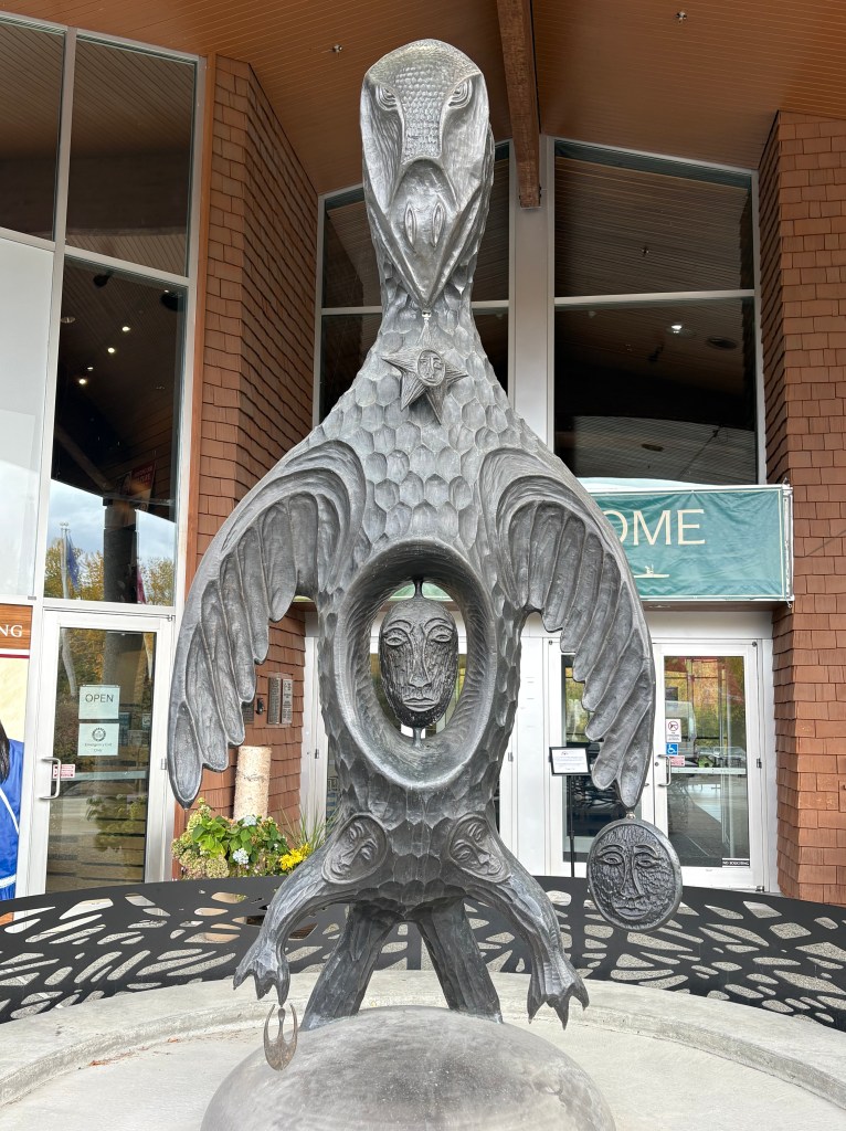
I decided to stop at a large Cultural Center for Indigenous Tribes which I had seen signs for as I went through the area earlier in my trip. Unfortunately, when I arrived I found a sign out front that said it was closed for two days for a private event.
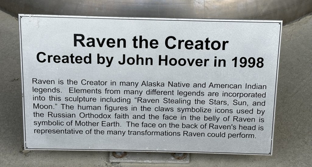
I did at least see an impressive sculpture out front.
When I got into town I went to the library to use my laptop for checking the weather for the coming days as well as planning my next two stops which will be south of Anchorage.
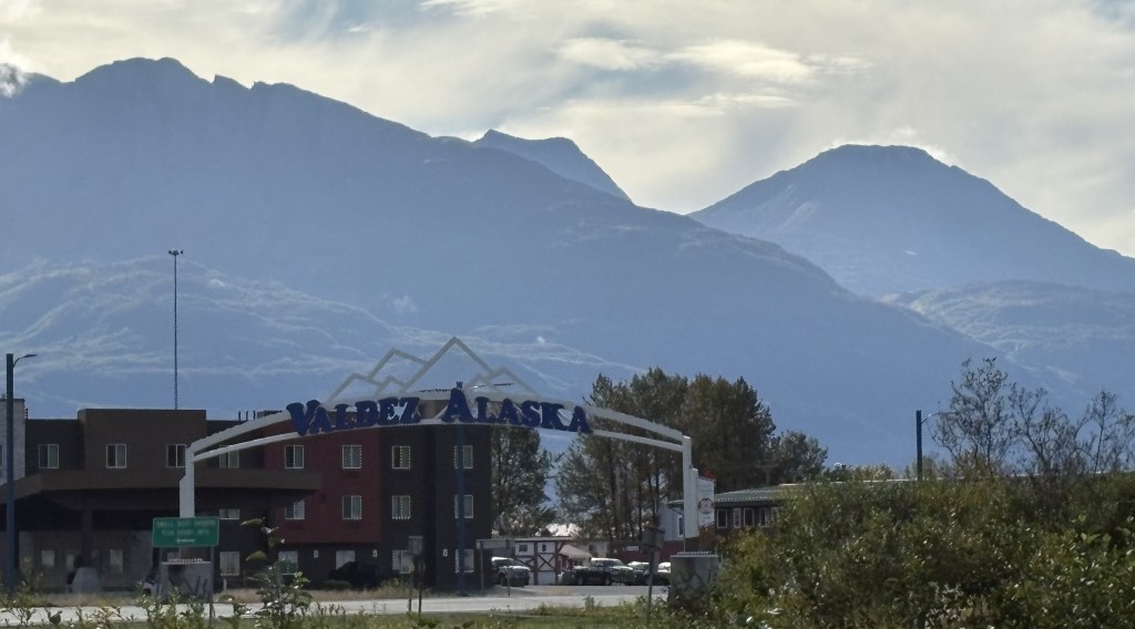
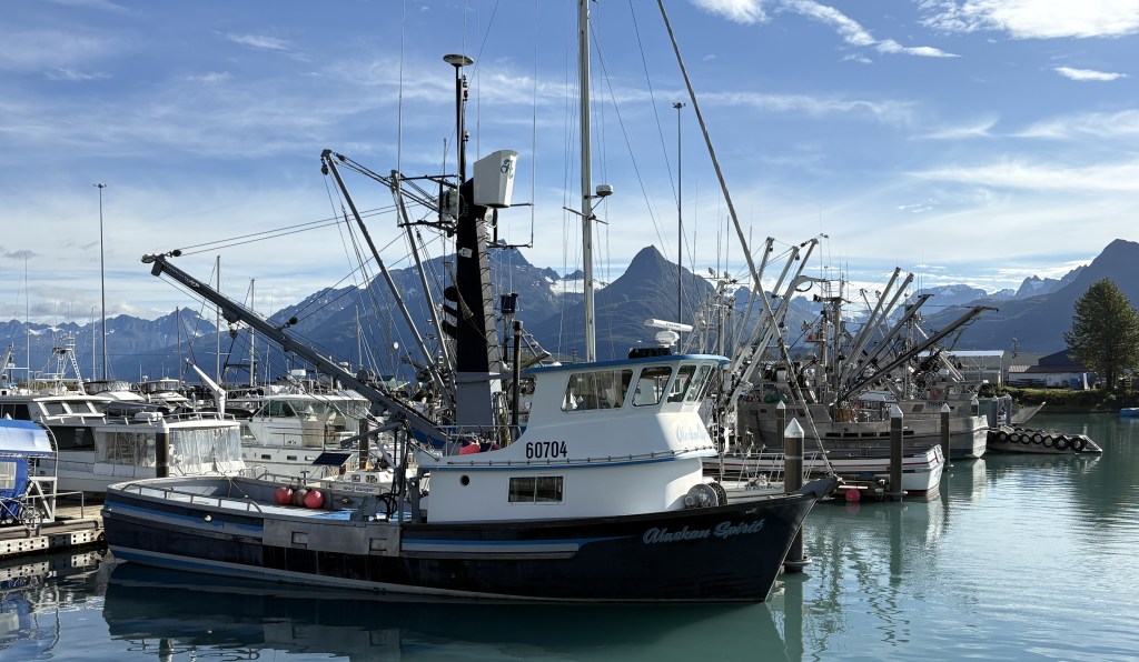
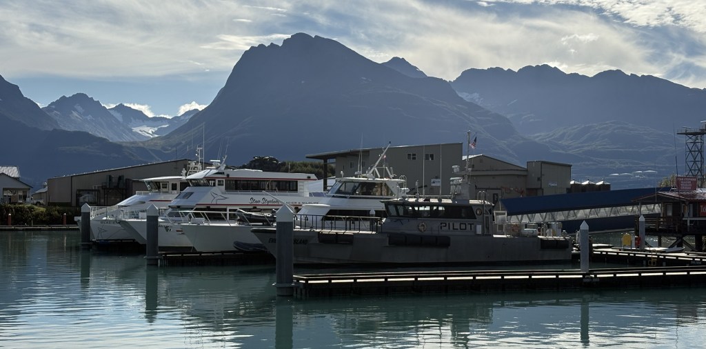
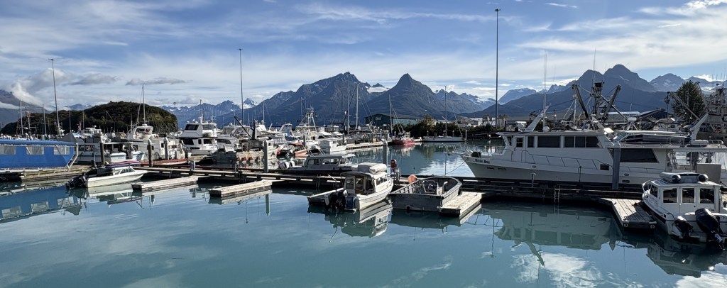
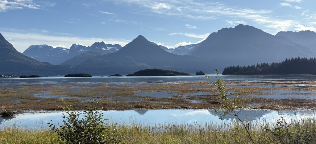
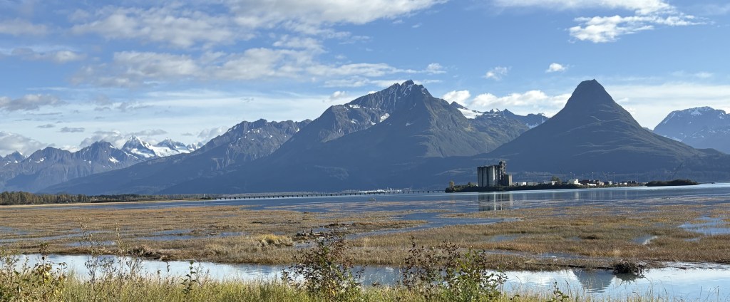
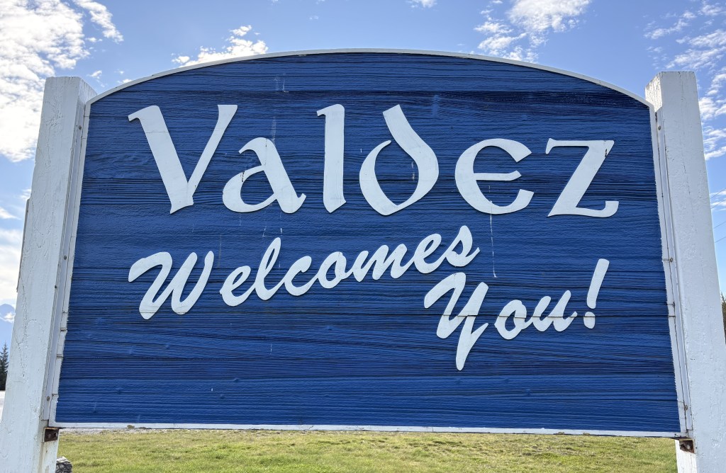
Having finally reached Valdez I discovered that the Visitor Center was closed. It is not a very big town, and of course being on the water it had a nice harbor. I believe cruise ships dock further out of town but I think their season had now ended as the town was very quiet. The place where the Trans Alaska Pipeline terminates is across Port Valdez to the south of town. I read that they have 18 storage tanks there which can hold millions of barrels of oil.
I ate lunch at a restaurant just across the street from the harbor. I told myself that I would enjoy fresh Alaskan seafood every time I was in a coastal city. Valdez isn’t out on the Gulf of Alaska but is tucked away in the Valdez Arm of Prince William Sound. That’s close enough for me. I had fresh broiled halibut and it was delicious.
My big mistake was not booking a room down here for the night. I had to drive the theoretical 2 1/2 hours back to Gakona and didn’t really have much time to explore.
I left town around 4 o’clock but did stop to take a few photos on my way back to Gakona, and I would have a surprise waiting for me when I got back there.
Although it had cleared off into a beautiful day while I was in Valdez, the clouds and rain were still over the Chugach Mountains.
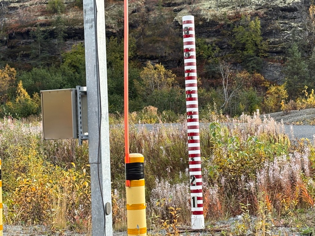
I saw this weather station next to the road at one point. There was also a camera fixed on the red & white pipe which indicates how much snow there is during the winter months.
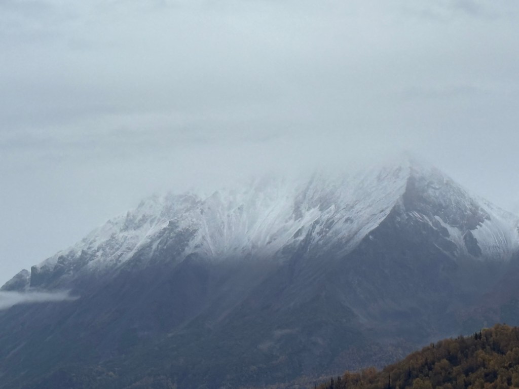
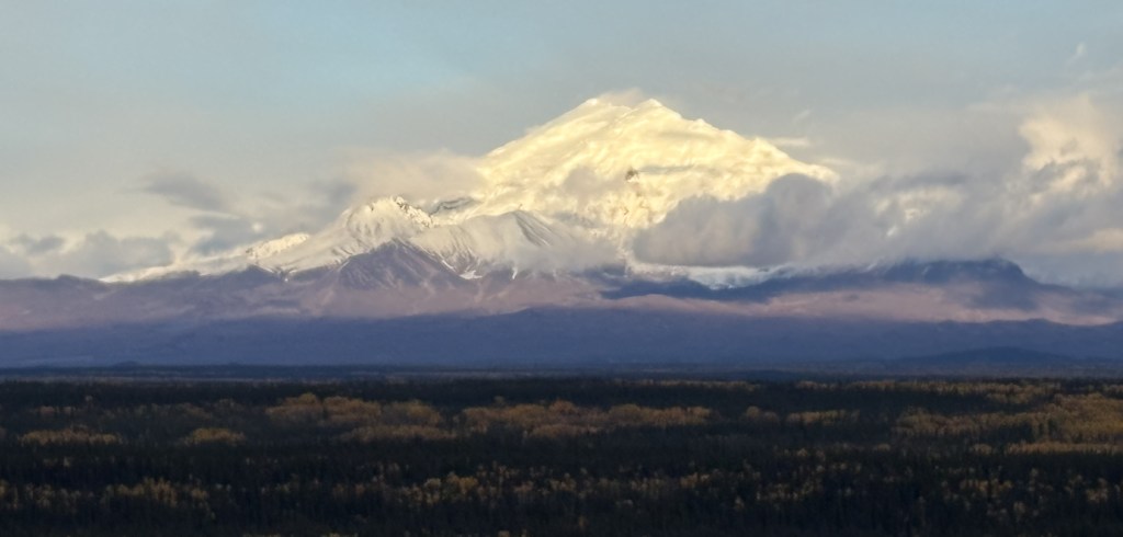
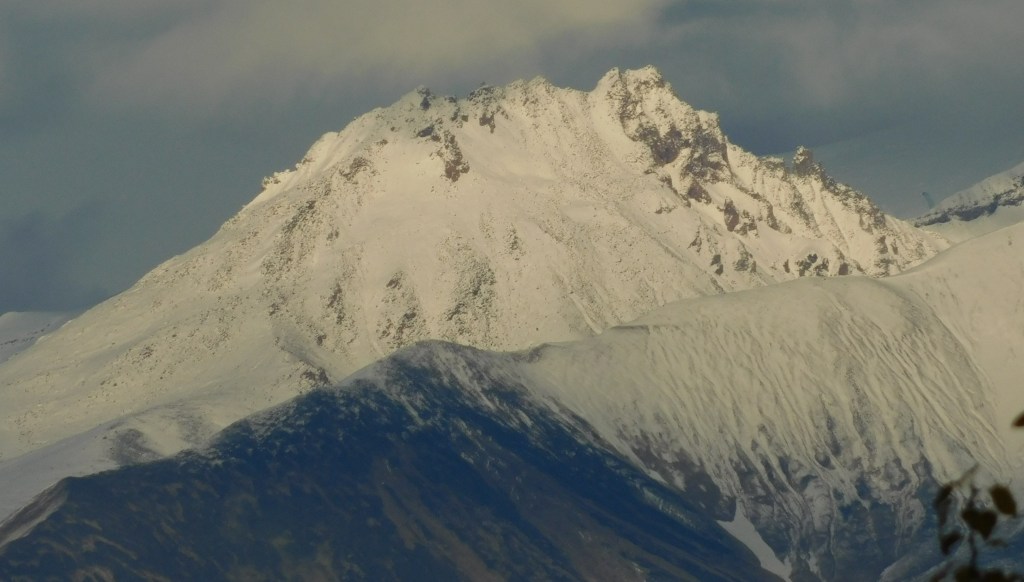
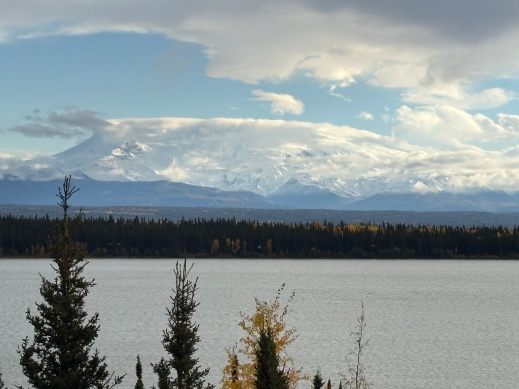
When I got back close to Gakona I spotted two huge mountains which I had not seen in previous trips up and down the highway. Evidently they had been “hiding in plain sight,” shrouded in cloud cover when I had been in places where I should have been able to see them. Both were snow-covered and were extremely visible against the blue sky.
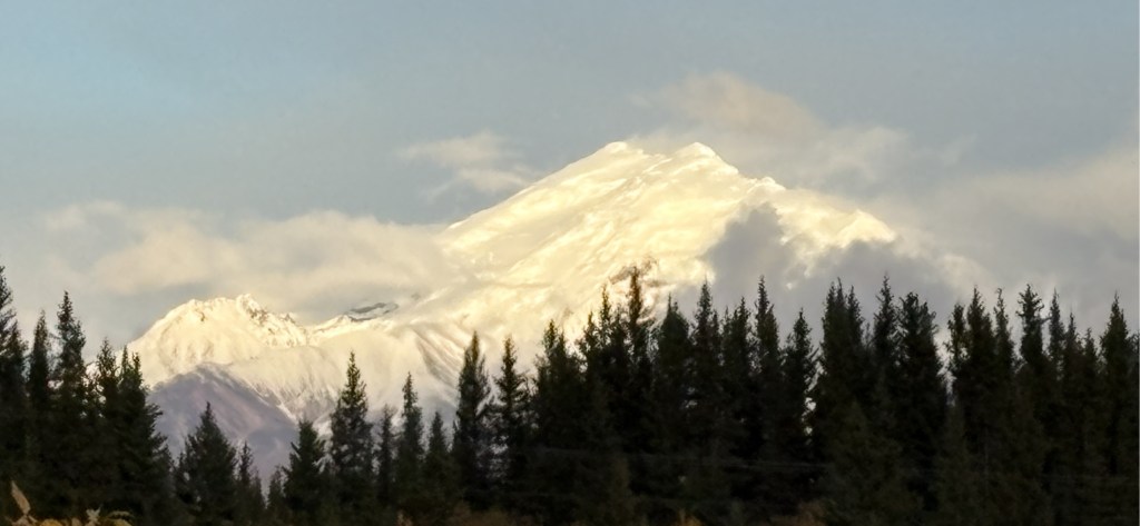
The first is Mount Drum, which rises to 12,010 feet elevation
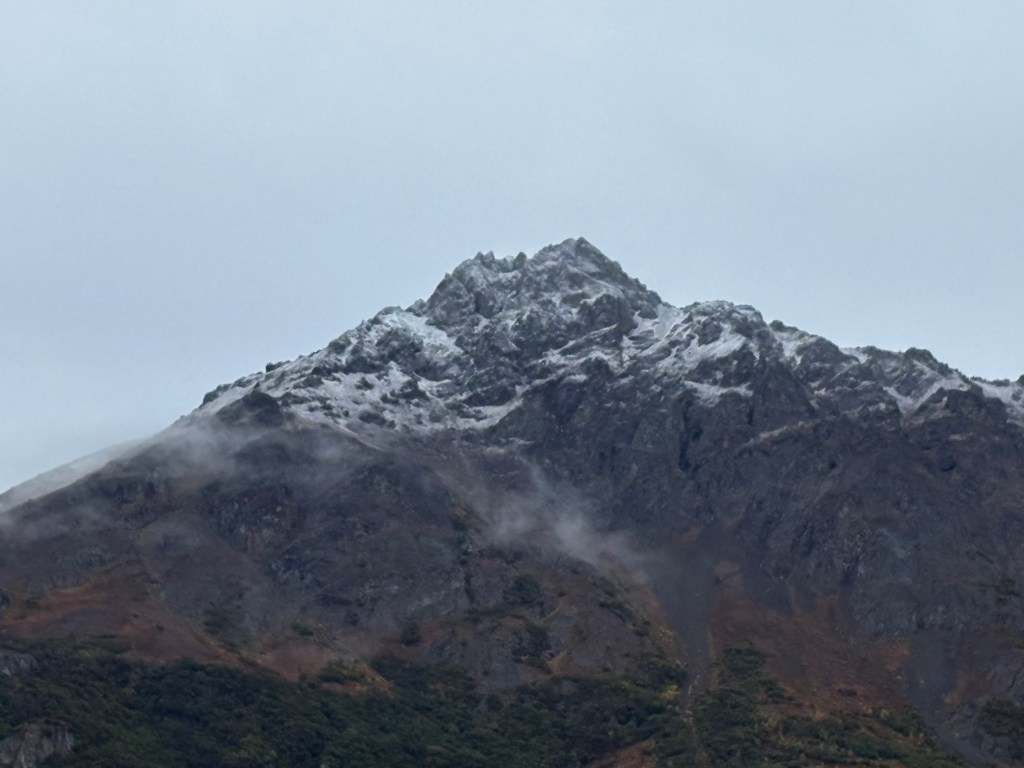
With the zoom lens this is a closeup of the shorter peak on the left side.
I didn’t see the other mountain until I had turned east on Hwy 1 at Gakona Junction, just a short distance from my Airbnb. There was a pullout area where I had stopped two or three times on various passes through the area and today was the first time I saw this big, white mountain to the southeast. It is Mount Sanford and is 16,237 feet tall, but is further away so it doesn’t look quite that big.
That last photo was taken at 703 pm so it had taken me 3 hours to get back from Valdez. Tomorrow I head back to Anchorage for a few days.
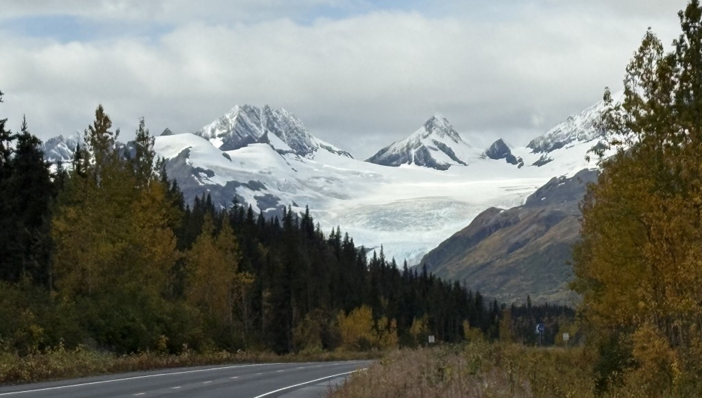
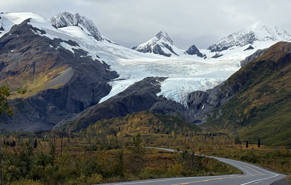
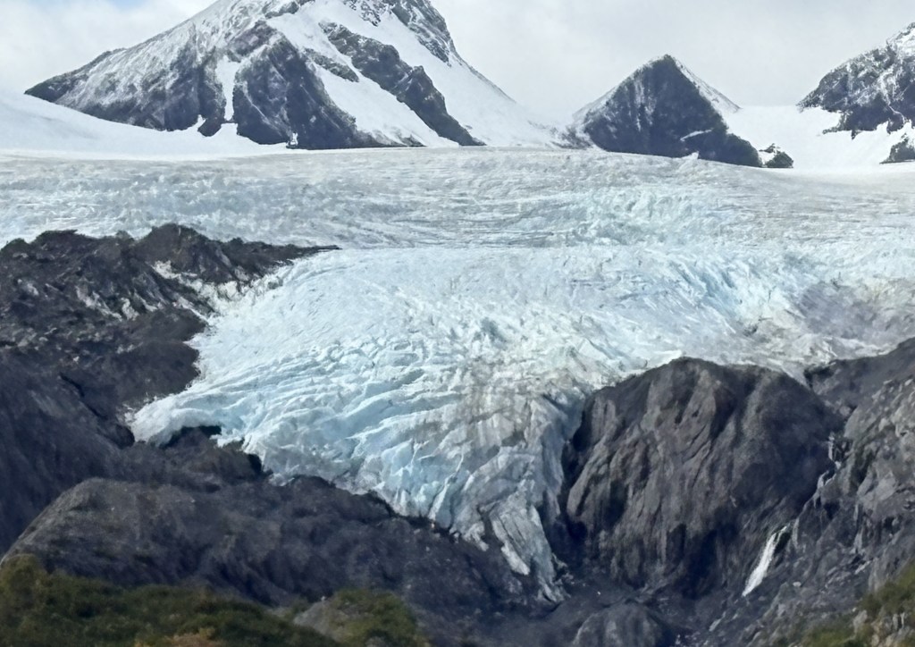
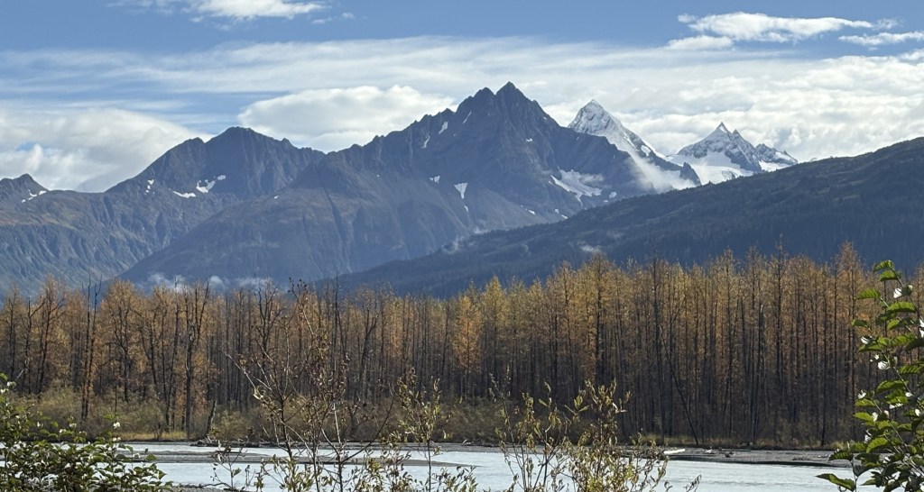
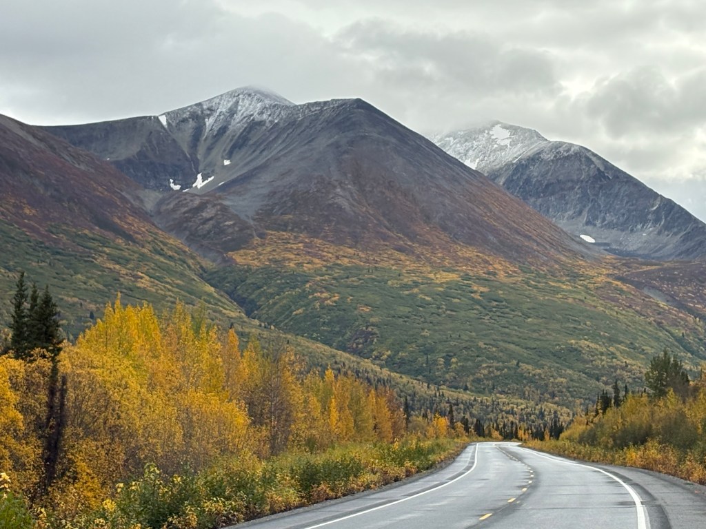
Here are more of the things I saw as I drove south towards Valdez:
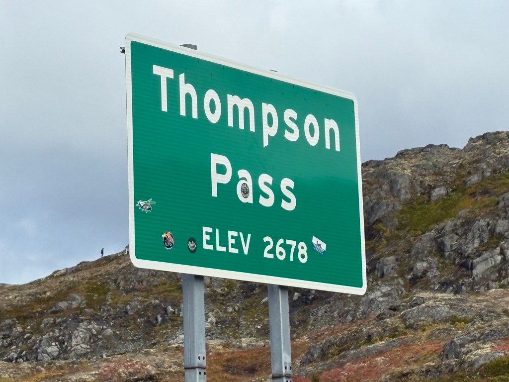
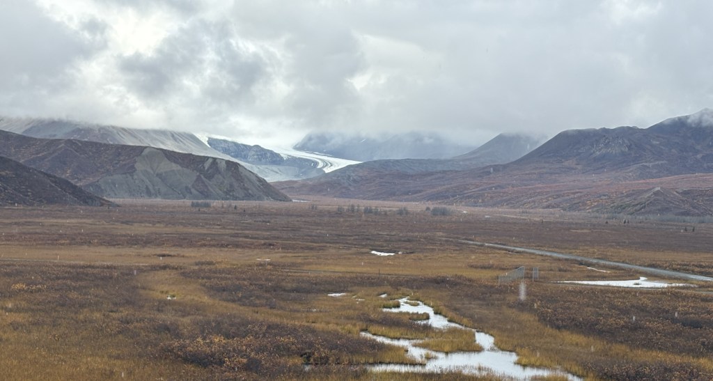
This is the closest I would get to a glacier during my trip. It is the Worthington Glacier and covers more than 5,700 acres. It was on Hwy 4 just before I crested Thompson Pass at 2,678 feet elevation.
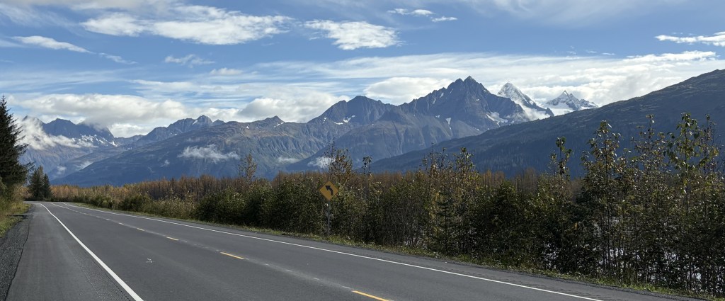
I finally reached Valdez, 6 1/2 hours after leaving Gakona
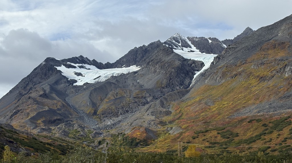
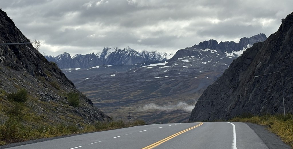
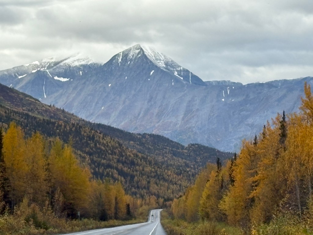
Here are more of the things I saw as I drove south on Hwy 4 towards Valdez.
I stopped at a much smaller lake, Lake Pippin, on my right.
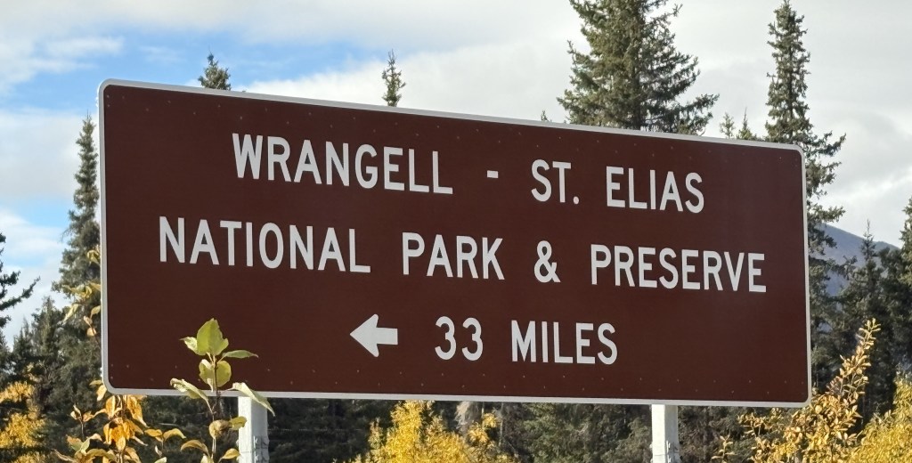
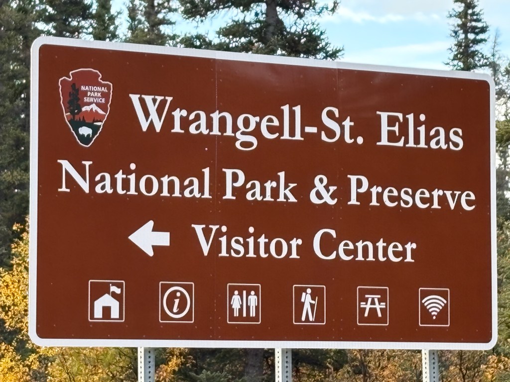
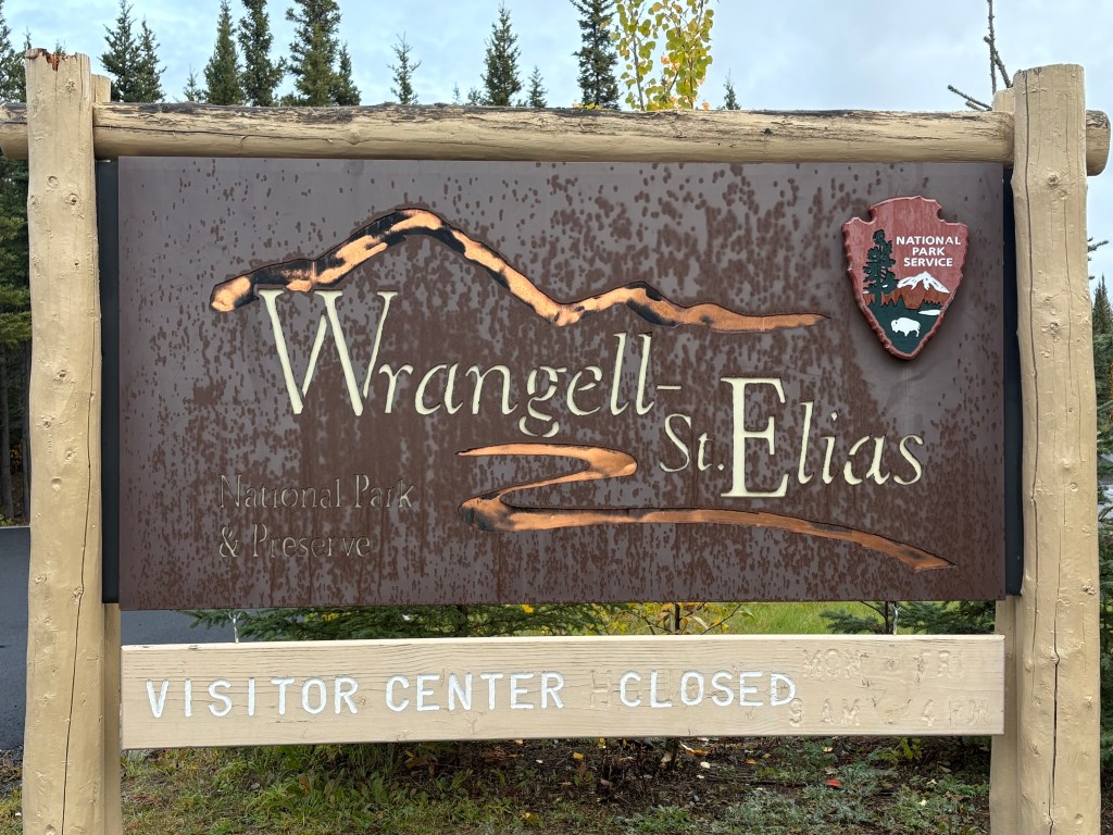
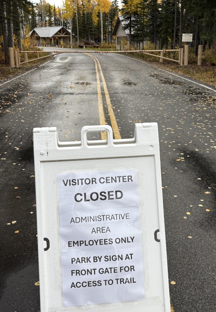
I then came to another access road for the National Park. I was glad I already knew it was closed for the season.
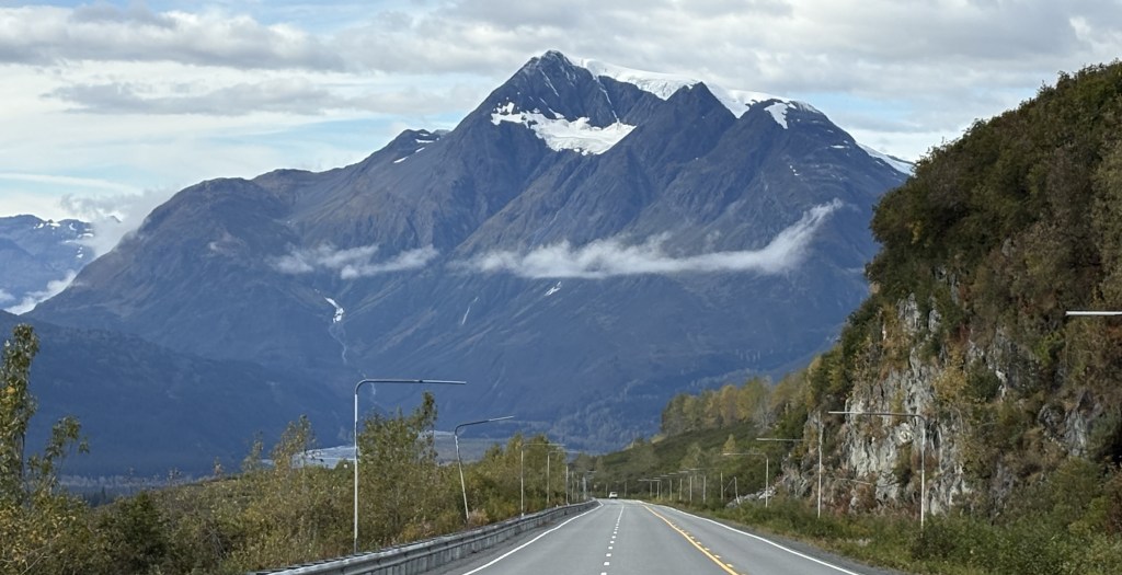
The sun had come out briefly near Pippin Lake but as I got closer to the big mountains in the Chugach Range the clouds above many of them began to influence the sky above me.
That sign pertained mostly to the mountain in the photo above it. The road ran very close to the base, and there were more after that. I came back to take a photo of the sign.
My “2 1/2 hour drive” had already stretched to almost 4 1/2 hours and I still had a ways to go. Believe me, I took lots more photos than I am posting but I have tried to select the best ones for you to see.
From Gakona I would go back to Hwy 4 and drive south to where it ends in Valdez. Google maps indicated it should take 2 1/2 hours to drive but that is without stops and as you will see, I stopped quite a bit to take photos.
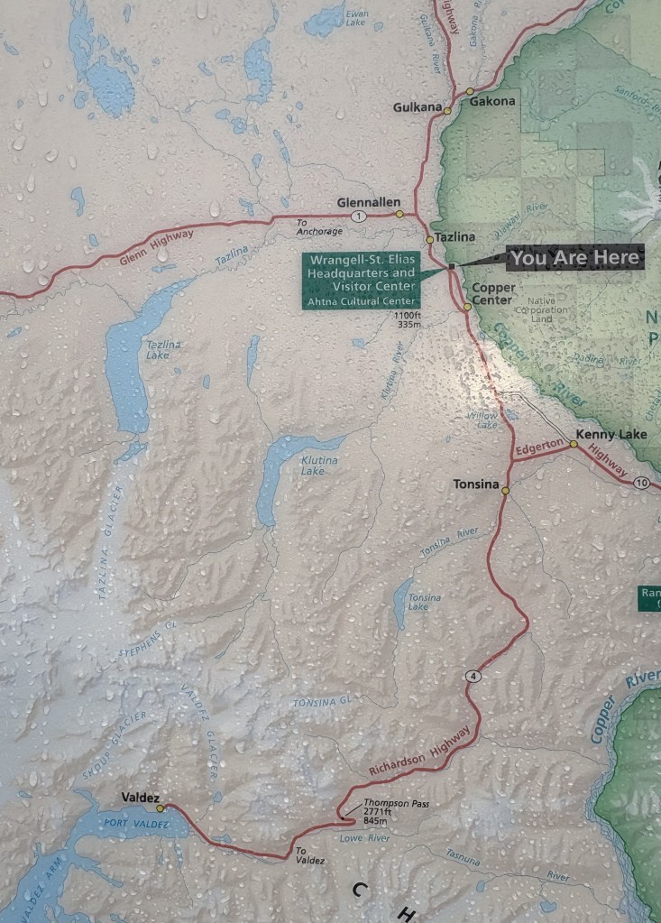
Just my luck that everything here was closed for the season. People were allowed to park outside the gate and go in the Park to hike. There was a map posted which shows where I started and where I am going.
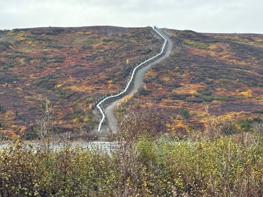
Further down the road I saw the Trans Alaska Pipeline again, on my right.
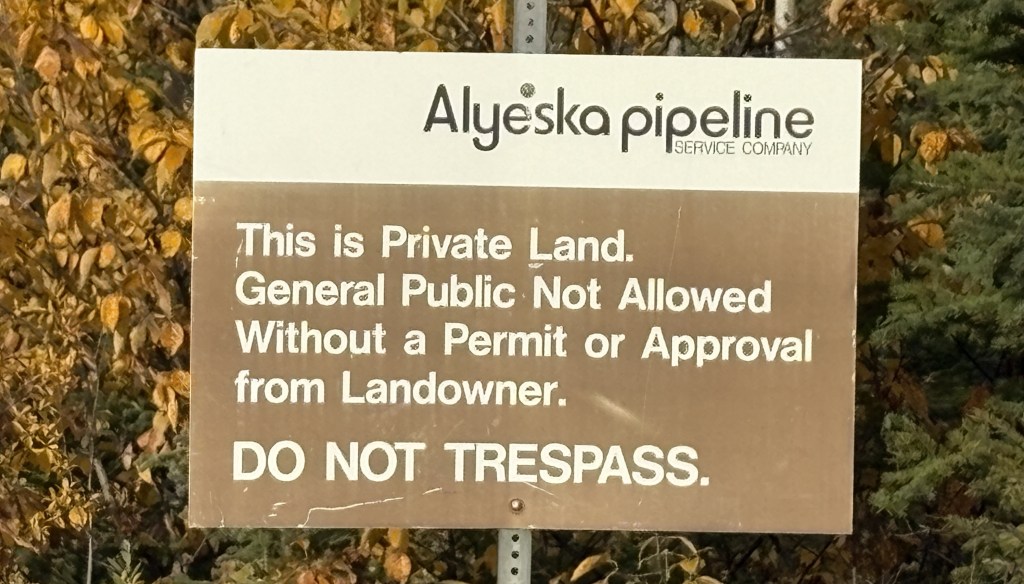
This sign was at an access road which indicated they didn’t want the general public going in to see it up close.
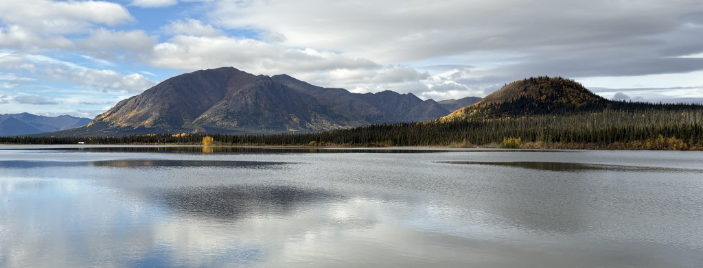
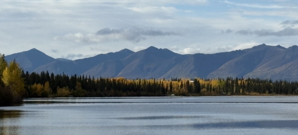
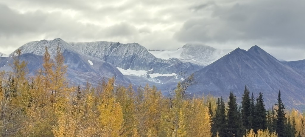
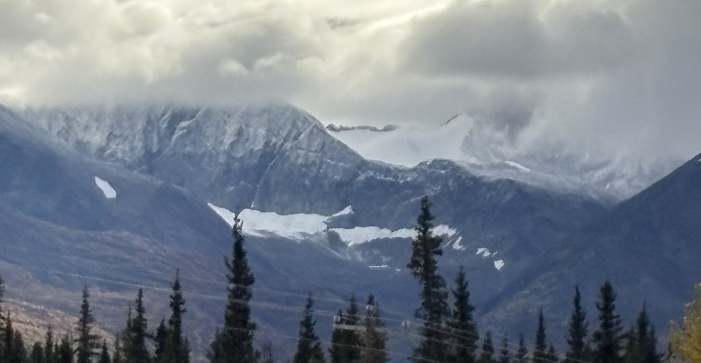
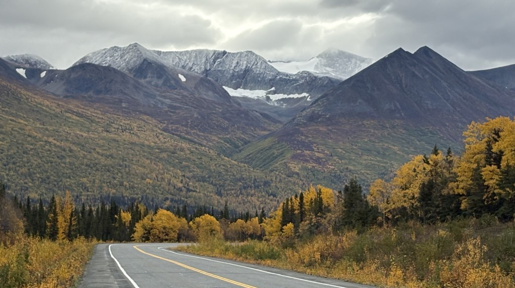
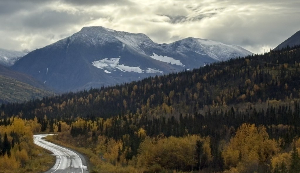
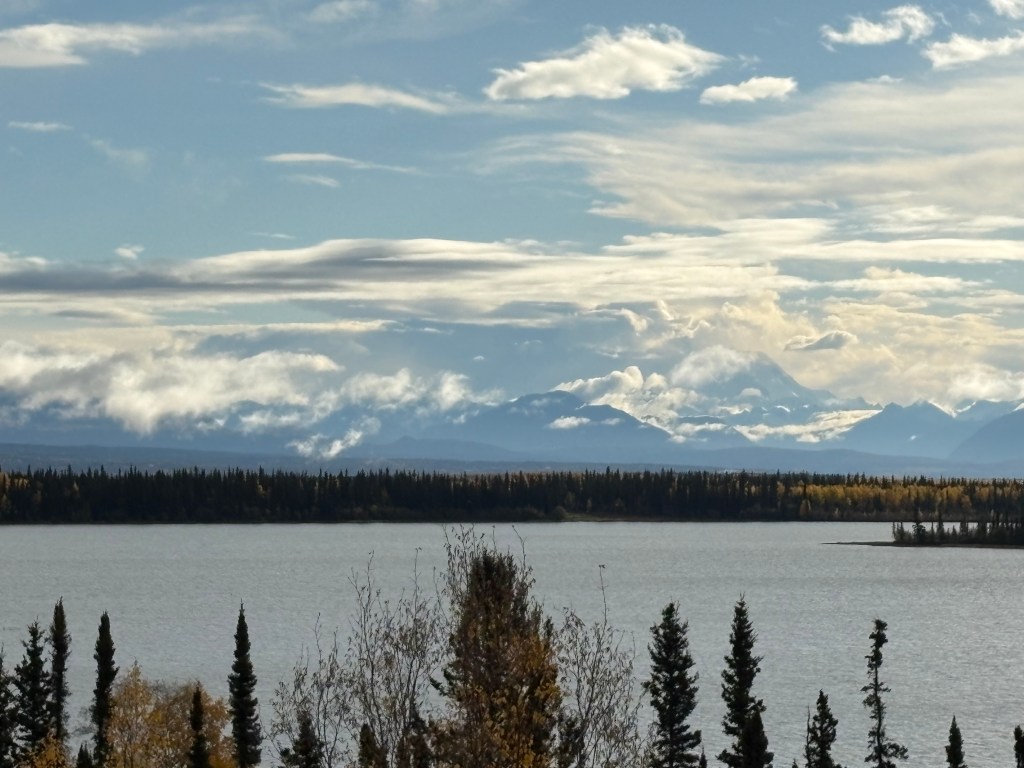
I soon came to a big lake on my left with some signs in the parking area. With their help I could identify the two large mountains on the opposite side of the lake.
This is Mount Wrangell, which rises to an elevation of 14,163 feet:
And below is Mount Blackburn, further away from this vantage point and also further south than Mount Wrangell. Mount Blackburn is 16,390 feet tall.
It’s underneath all those clouds but I believe I could make out the outline of it. I stopped at this lake on my way back to Gakona later in the day but the view hadn’t improved any.
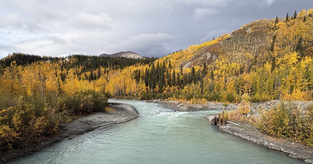
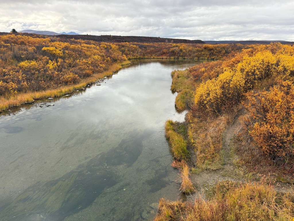
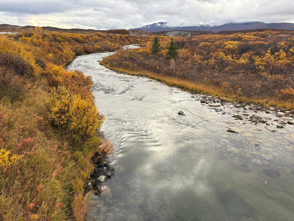
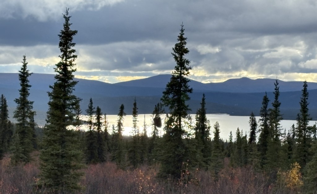
And finally, here are some of the things I saw on the last leg of my 234 mile journey south from Fairbanks. This stream was just off the highway. There was a metal overlook that I took the photos from and signage that indicated it is popular with fishermen. I didn’t see any fish or fishermen in the area.
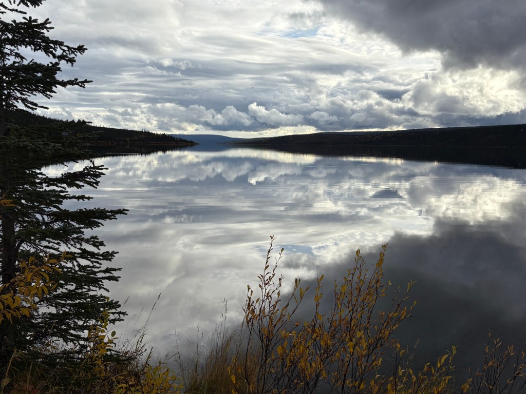
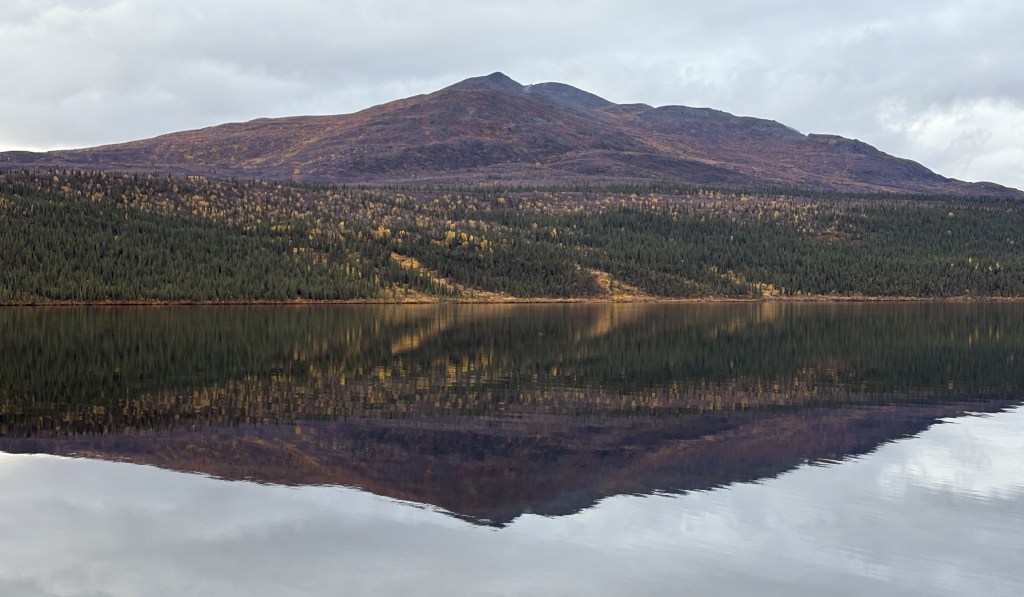
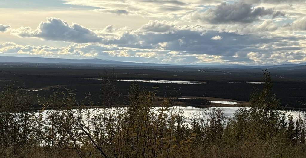
And further down the road I came to Paxson Lake. The clouds were lifting some but they still looked rather ominous. The lake surface was almost perfectly calm.
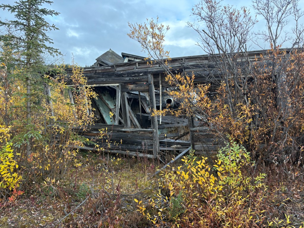
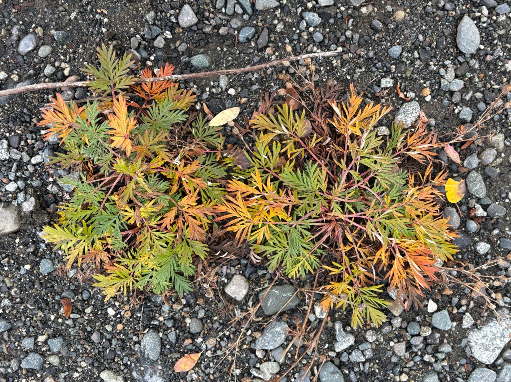
That dilapidated house was at the spot where I took the two photos of the lake. As I was walking down to where I took the first photo I thought “this might be the last picture I ever take…” but there hadn’t been any vehicles out by the road and although there was a picnic table down by the water, there wasn’t anyone else on site.
As I was walking back to my car I noticed this plant down by my feet. It might help explain the multi-colored shrubs I have been seeing.
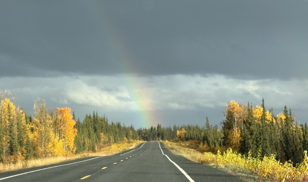
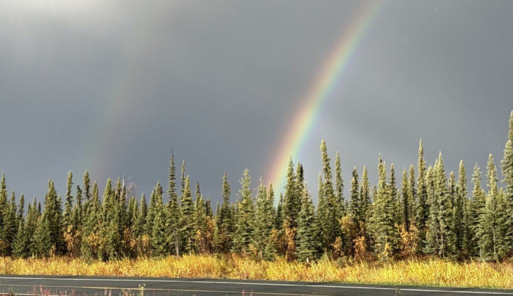
As I drove even further south the clouds started to break up some.
I could see some dark clouds in my direction of travel, though, and it looked like they were dumping a good bit of rain. Fortunately the road took me around it and I was soon treated to this rainbow ahead of me.
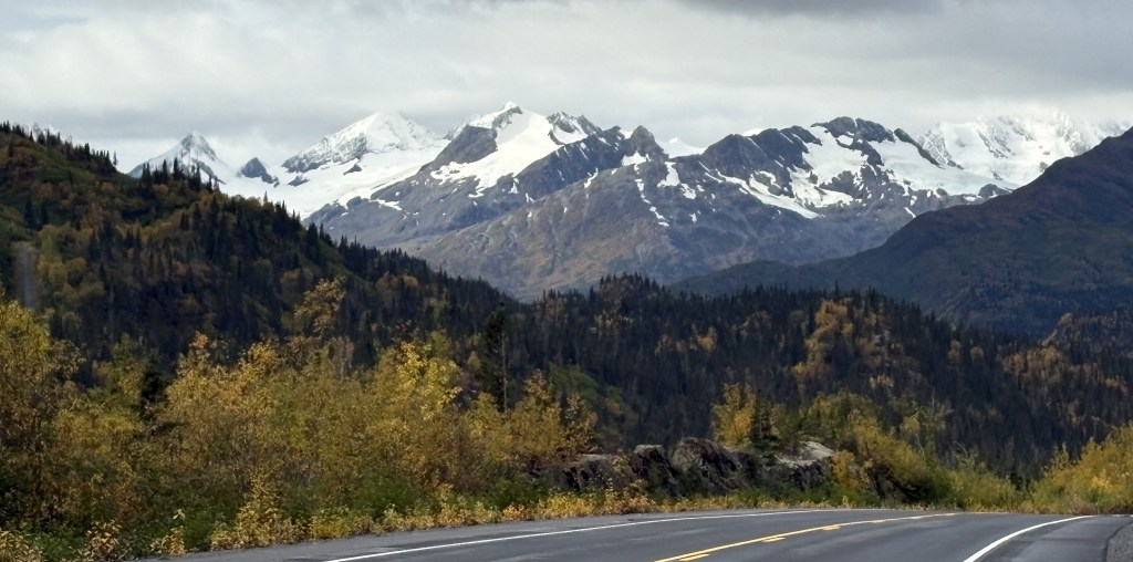
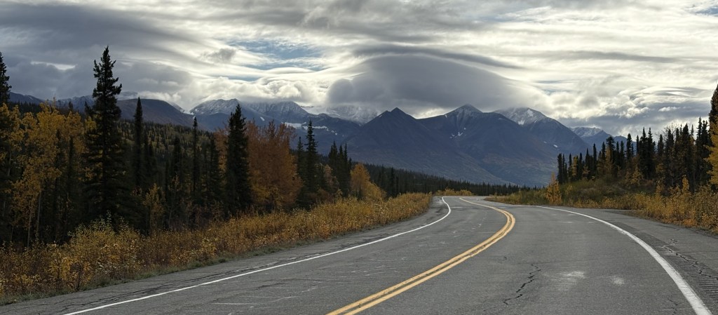
I could soon see the mountains of Wrangell St.-Elias National Park in the distance ahead of me.
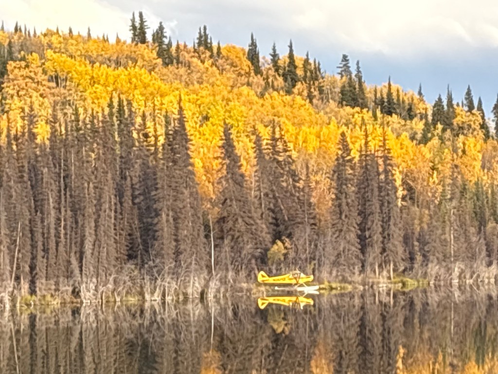
Shortly before I arrived at Gakona Junction my eye caught this yellow sea-plane parked on a lake next to the highway:
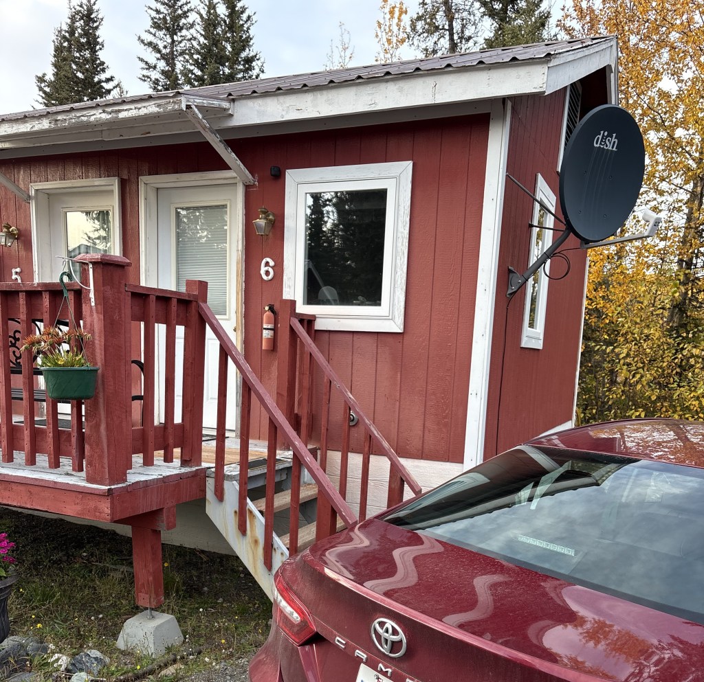
I finally got to Gakona Junction which is where Hwy 4 intersects Hwy 1. The town of Gakona was just a short distance east on Hwy 1. I had driven through it on my way from Tok to Anchorage and remembered that there were some cabins there. Fortunately some of them were listed on Airbnb so this is where I will spend the next two nights.
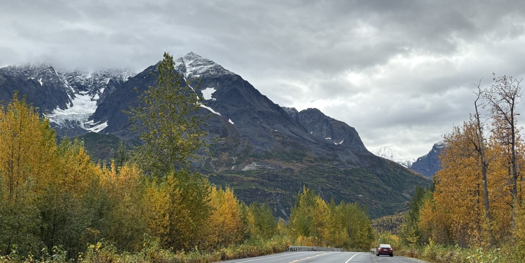
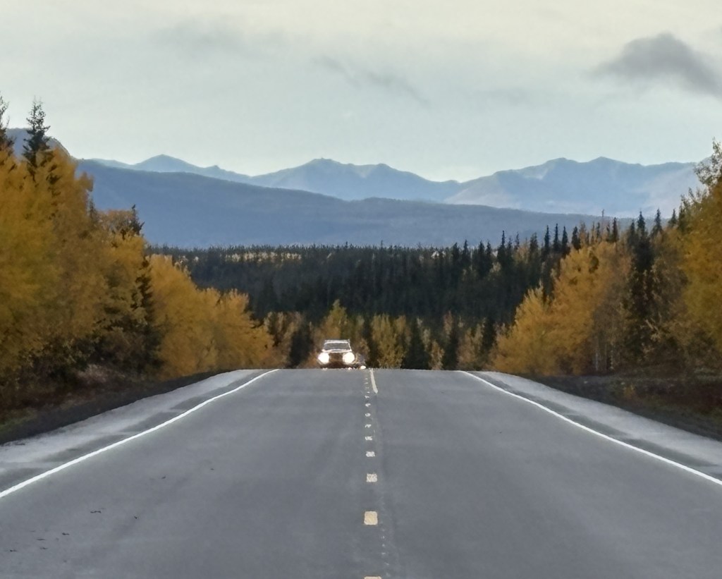
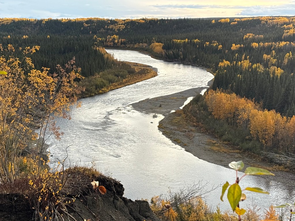
Here are more of the things I saw as I drove south on Hwy 4.
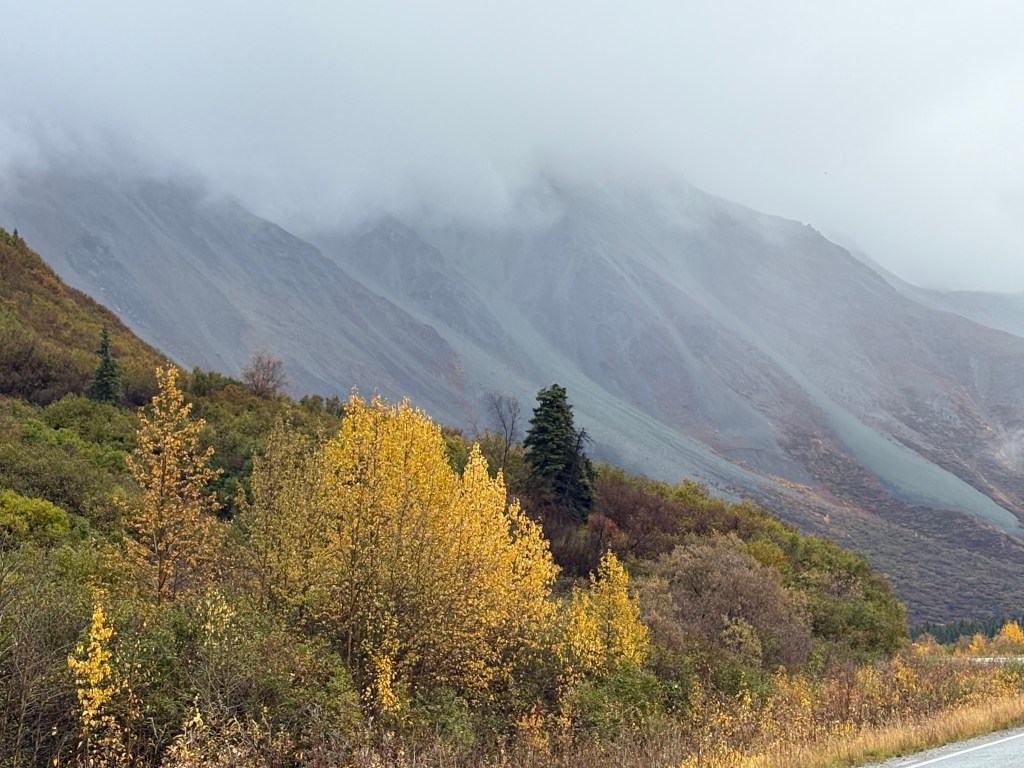
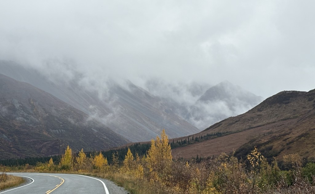
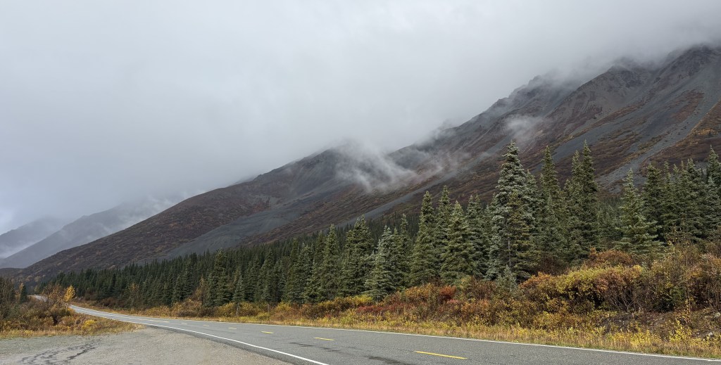
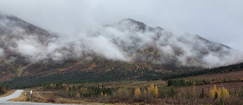
I was approaching some relatively tall mountains just off the left side of the road. The low clouds kind of swirled around and one or two times that I stopped to take photos I just stood and watched them for a few minutes. With no one else around it sometimes felt kind of spooky.
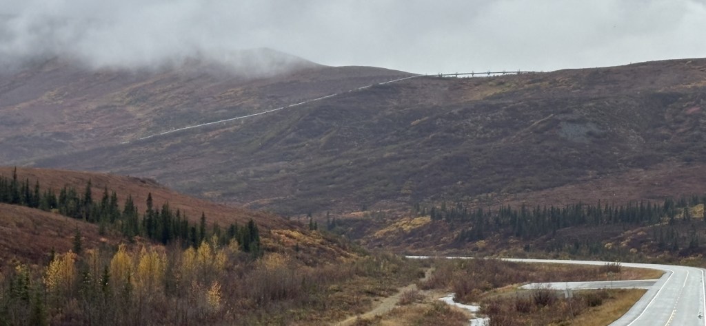
I spotted the Trans Alaska Pipeline, this time off to my right.
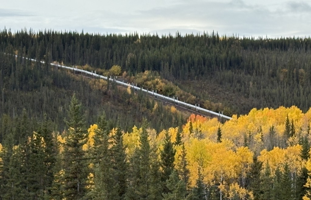
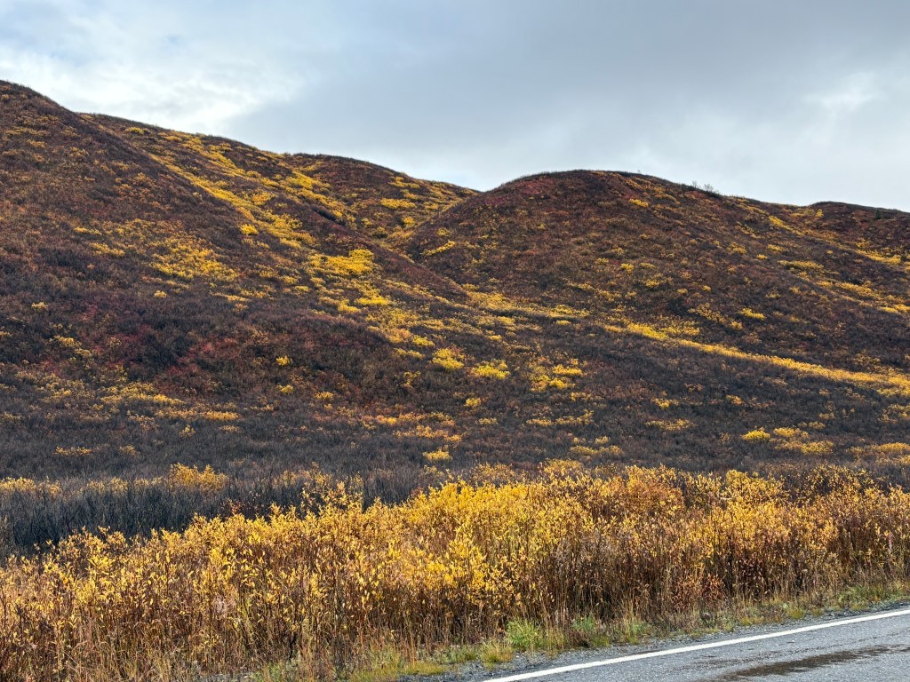
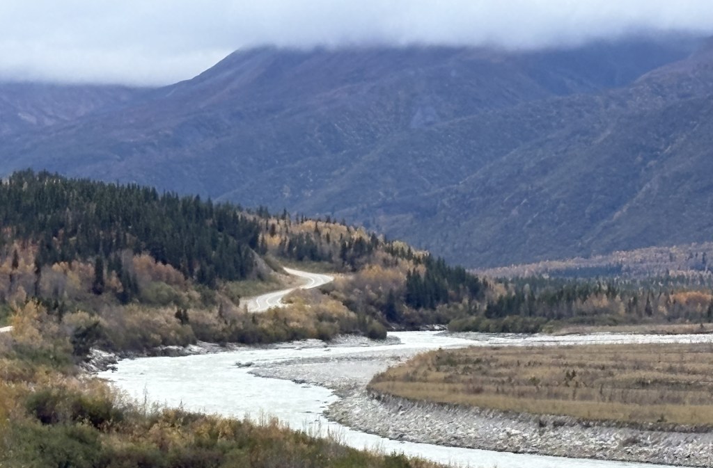
Further up the road the pipeline came down the hill to a river and then went underground. You can also start to see more of the multi-colored vegetation I mentioned in a previous post. There will be places on this stretch of road where it comes very close to the highway.
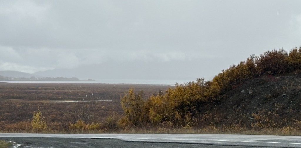
After the tall mountains the area around the road opened up a good bit, though visibility wasn’t very good and it had been raining lightly. I would soon come to a large lake right next to the road.
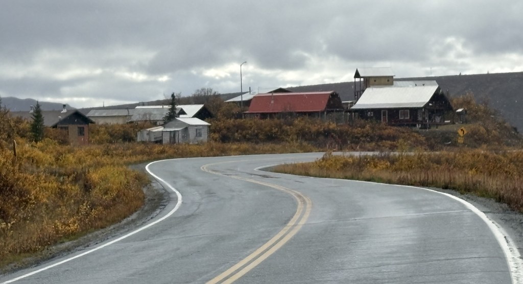
After I passed the lake I came to gathering of houses. There were no signs, and I didn’t stop to explore any. I believe it is the town of Paxson, which is described online as a “census-designated-place” with a last known population of 26. It is the only “sizeable” town shown on the map between Delta Junction and Gakona Junction.
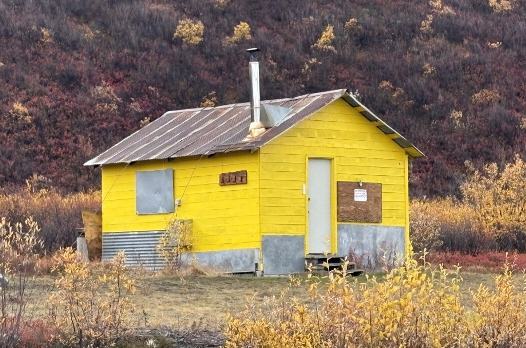
And there was this small cabin standing by itself just after the “town,” but it was boarded up and is perhaps a hunting cabin of some sort.
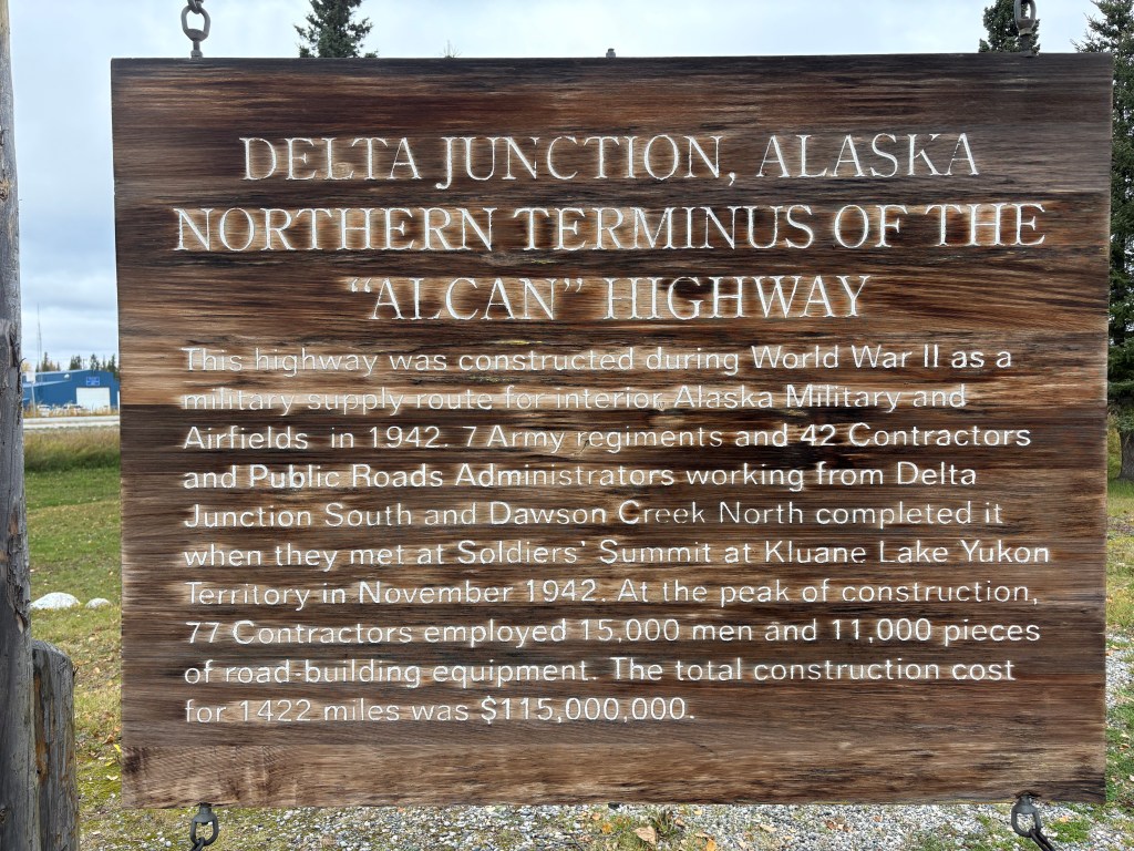
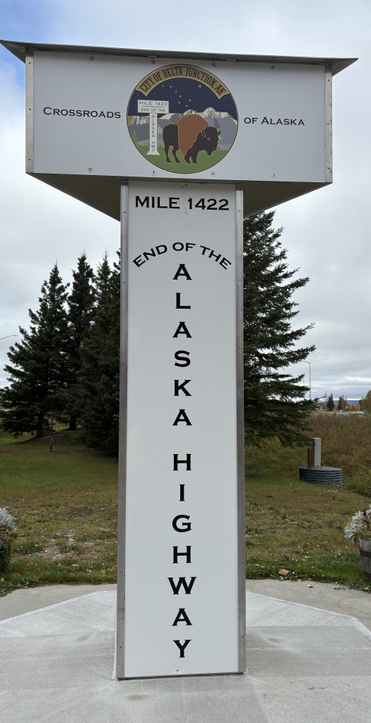
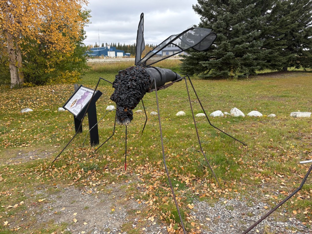
Here are more of the things I saw as I drove south. About 20 minutes after having seen where the Trans Alaska Pipeline was hoisted over a river I arrived in the small city of Delta Junction. As you will see, this is there the Alaska Highway ends.
Oh, and there is a much-larger-than-life mosquito here, too.
Why, I don’t know….
After taking a lunch break here I continued south, this time on Hwy 4. Highway 2, which had brought me down from Fairbanks, goes southeast from here to get to Tok, AK and eventually the Canadian border. I will take it when I leave this part of Alaska later in my trip.
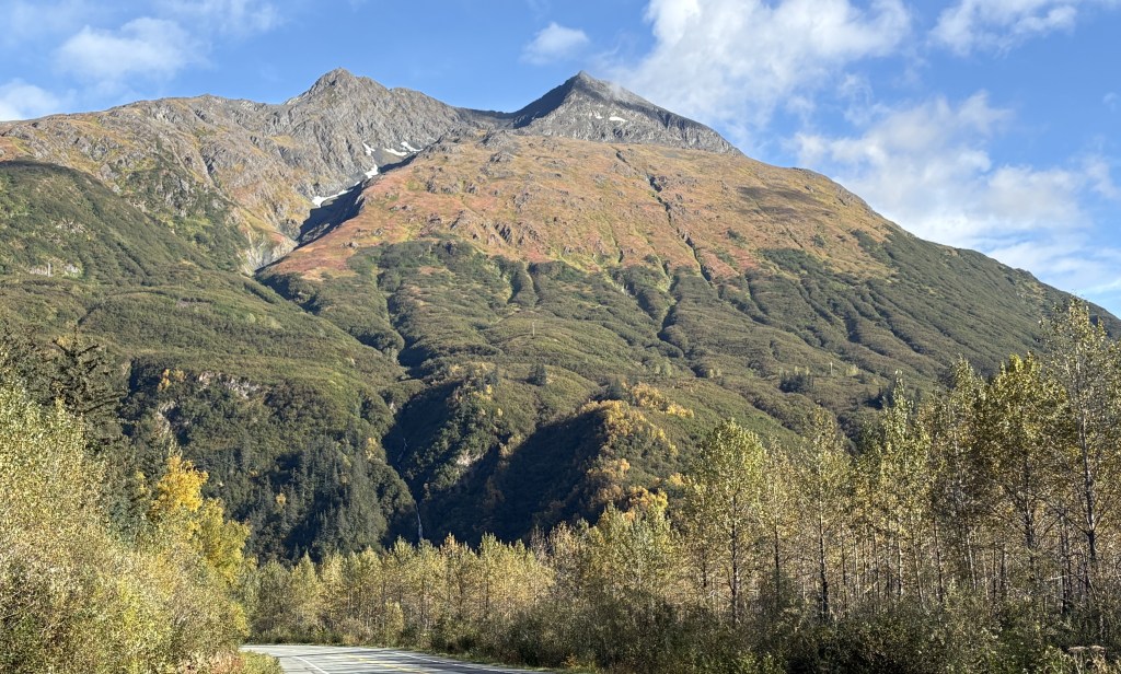
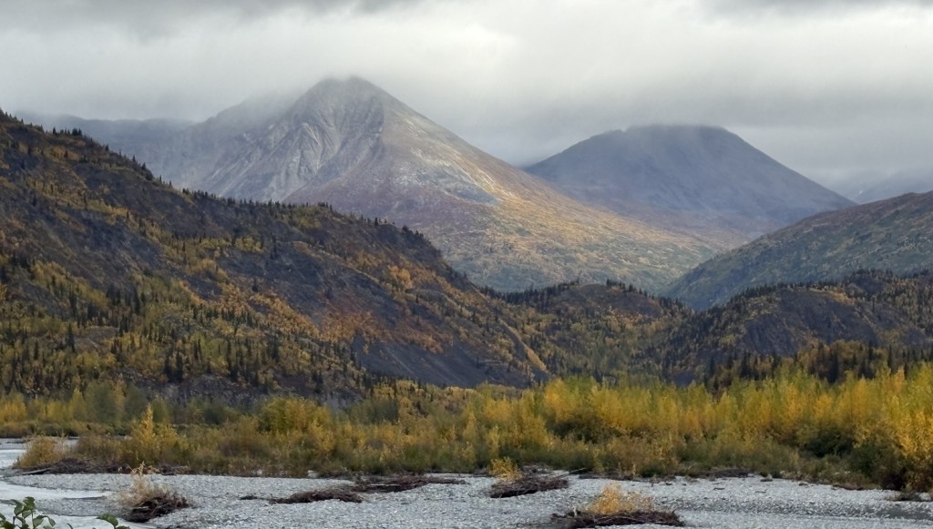
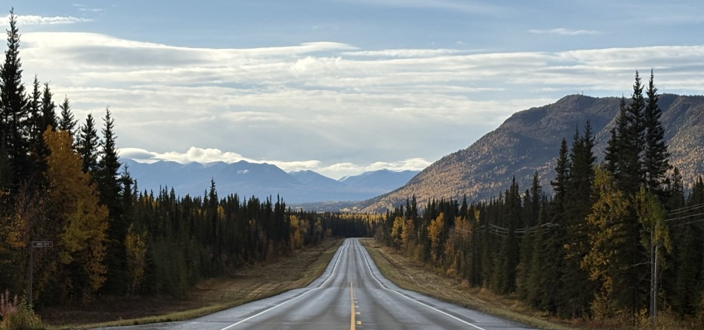
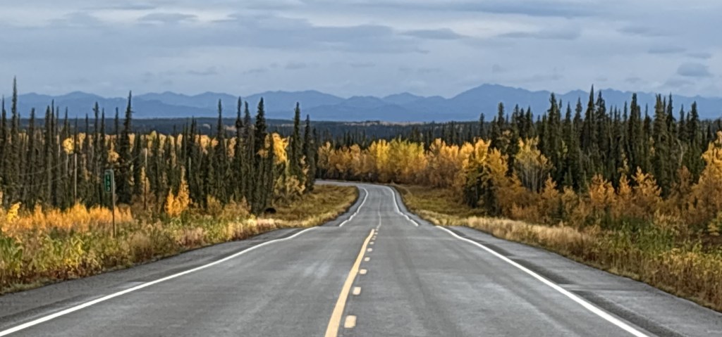
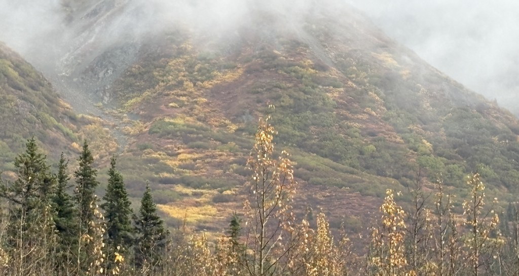
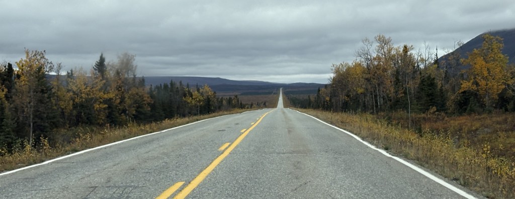
As I drove south on Hwy 4 I continued to pass low mountains, but I would drive through another portion of the Alaska Range of taller mountains, though they were further off the highway. It had been overcast all day and some of the clouds were starting to lower.
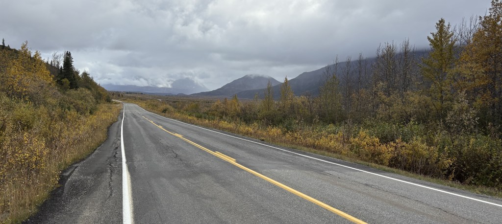
Looked like a long drive….
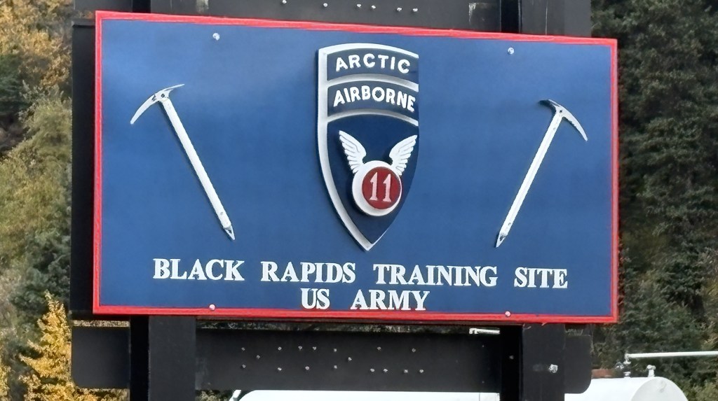
I passed another military training site but there didn’t seem to be anything going on. I presume it is for training in cold and snowy conditions. All I could see was a building next to the highway.
If there hadn’t been a sign there I would have driven right past it.
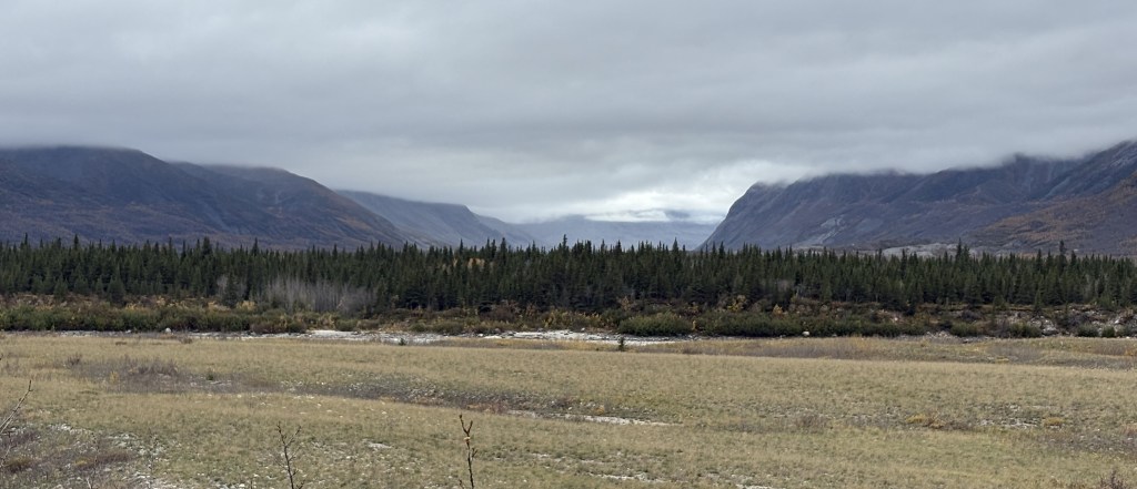
As you may have guessed looking at some of these photos, after Delta Junction there are no towns or villages out here. I saw a small number of motels that were closed and abandoned, but no stores, gas stations or residential housing. In the winter I doubt if this portion of the highway gets much traffic unless the military is engaged in training exercises. I had hardly seen any traffic when I was on Hwy 2, and saw even less now that I was on Hwy 4.
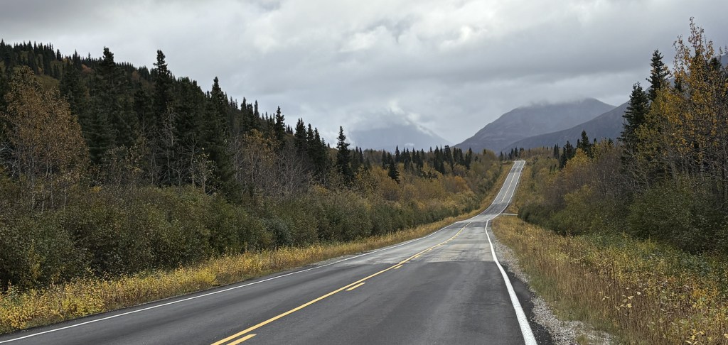
The road just went on and on, and it didn’t look like I was going to get a very good look at any on the mountains due to low clouds.
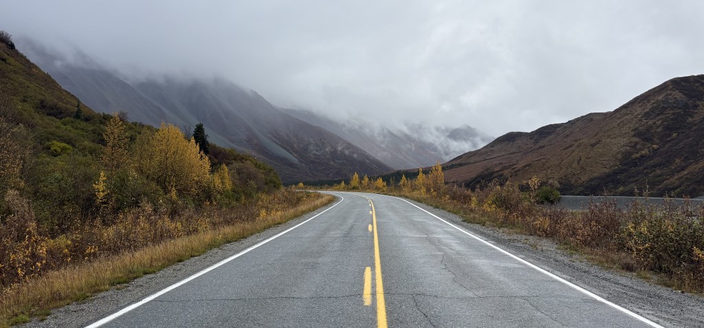
And the hillside right next to the highway kind of closed in for a short while.