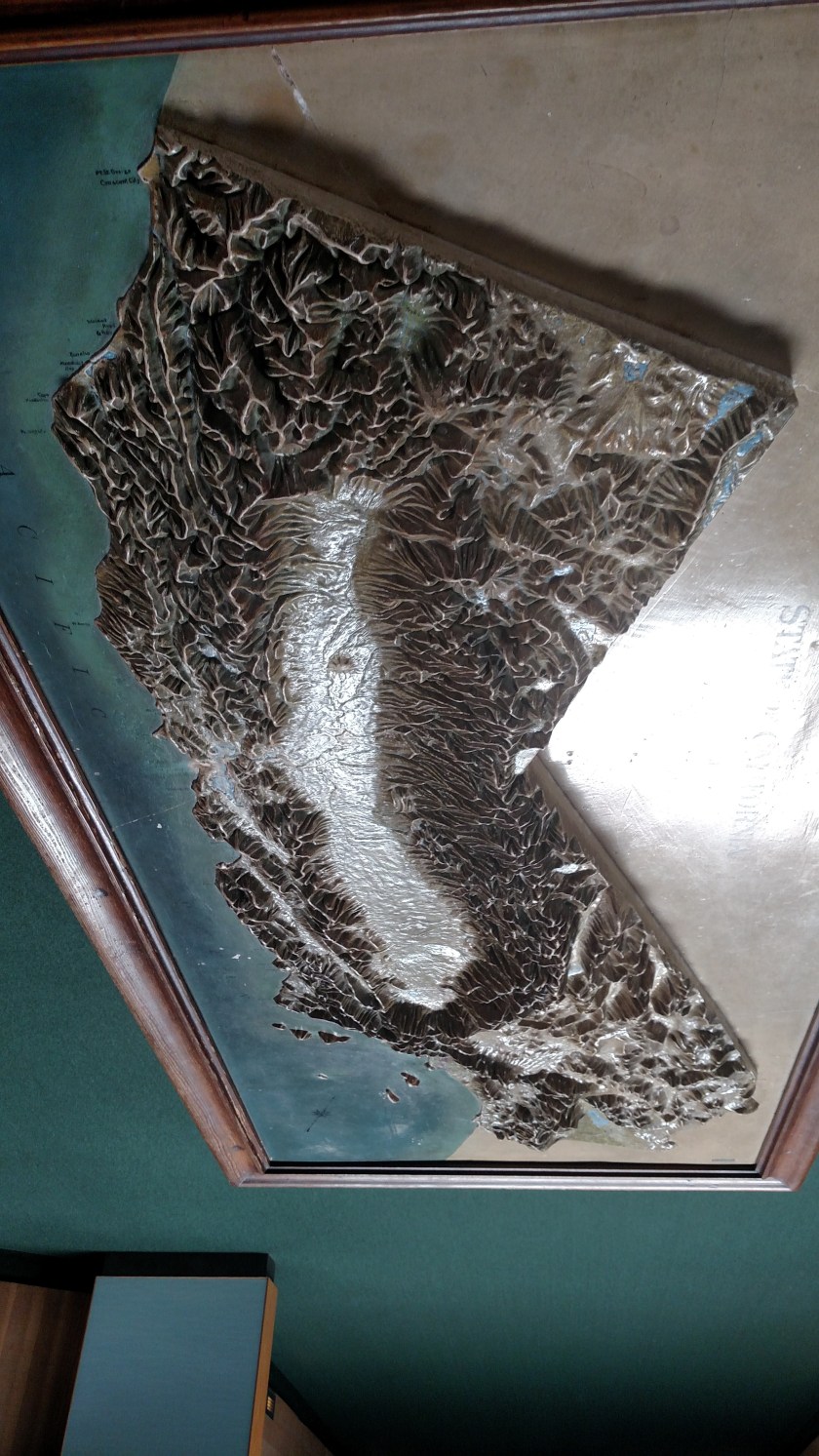
On Saturday, July 7, while I was staying in San Rafael, California (just north of San Francisco) I made a trip out to Point Reyes National Seashore. It operates under the jurisdiction of the US National Park Service and is a triangular piece of land which covers approximately 111 square miles. The long side of the triangle is about 33 miles in length, starting north of Stinson Beach, CA and running northwest up as far as Tomales, CA. The southern half of that 33 mile stretch is “connected” to the mainland whereas the portion just north of the town of Point Reyes Station is separated from the mainland by Tomales Bay. To see a map, Google “NPS Point Reyes Map” and on the first page you find select “Park Map”.
Saturday I drove up to the town of Olema and got on the access road out to Point Reyes. I arrived around 10 o’clock in the morning and there was some coastal fog in certain areas but it was not terrible. I drove through the town of Inverness and stopped to take a few pictures there:
Looking to the right (southeast) it was sunny and clear…
… but looking to the left, over more of the Bay, it was foggy:
The sun was trying hard to burn off the fog and did peek through partially. These two pictures were literally taken just 6 seconds apart:

Further up the road, however, it was still overcast:

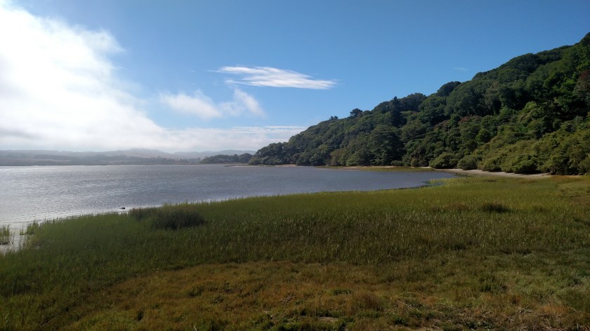
I continued north on what is the main road through the Seashore, Sir Francis Drake Boulevard. Shortly after turning away from the mainland beyond the town of Inverness I turned right on Pierce Point Road and drove north on it until it ended near the northern tip of the triangle. If I were a hiker I could have continued walking north up in to the Tule Elk Reserve (and would probably have seen some elk) but I did not do that.
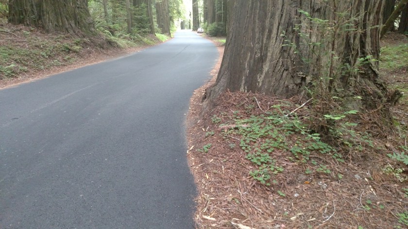
Shortly after turning right I stopped in this area of trees as the fog was rapidly moving from left to right across the road. It seemed darker than what these photos show (I probably had my sunglasses on) and with the rapid movement of the fog and the chill in the air it created a rather eerie, almost macabre sensation. Although it was 1025 in the morning I found myself thinking I was glad it wasn’t 1025 PM on Halloween with a full moon!
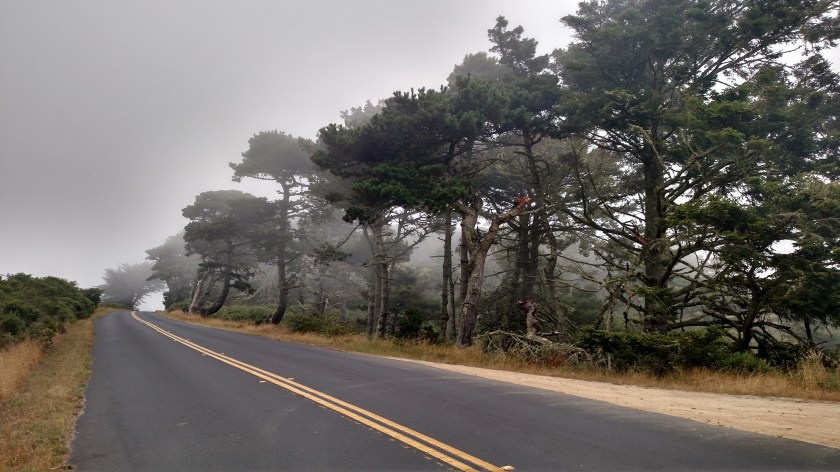
This was looking right, away from the road:

I couldn’t see ANYTHING to the left, as that was where the fog was coming from.
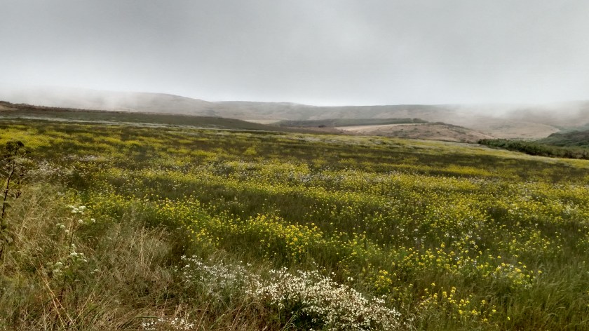
Further up the road the fog lifted enough that I could see things in the distance. I was pleased that my pictures of this field of flowers turned out ok.

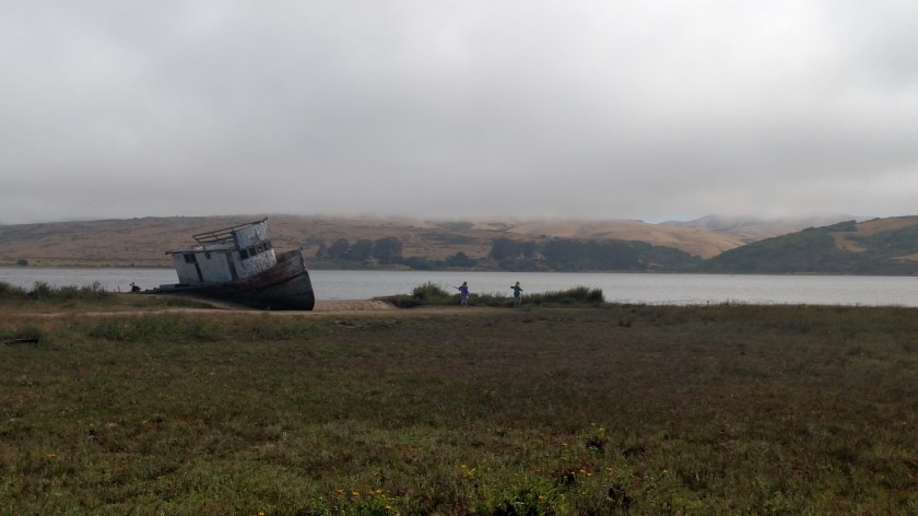
I drove north until the road ended, then turned around and went back to Sir Francis Drake Road. I turned right on it which would then curve left and take me out to the tip of the triangle (the furthest point west in the ocean). This is where I would find the Point Reyes Lighthouse. First I had to get there….
I drove out to the ocean at both the North and South beach access roads. The fog had lifted even more, though as you will soon see I wasn’t quite done with it yet. I believe this was looking out at the ocean from the South Beach access road:

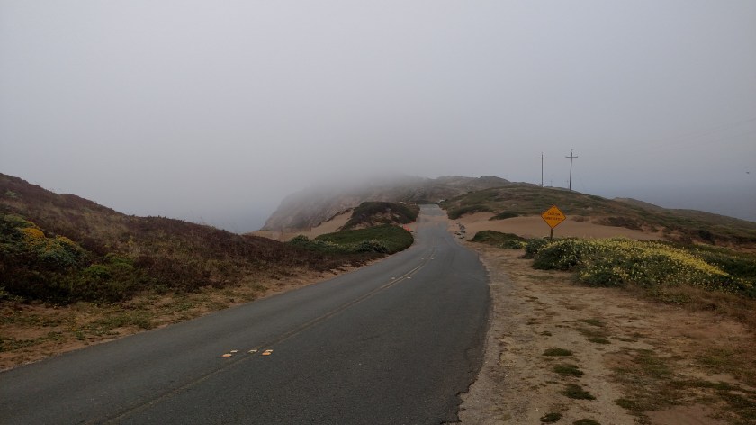
Then I continued out towards the lighthouse, traveling southwest away from the mainland. Here is the view I had of the top of the Point, where I presumed the lighthouse would be. Totally socked in by fog. This photo was literally taken at noon: 12:00:00:066
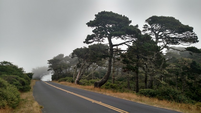
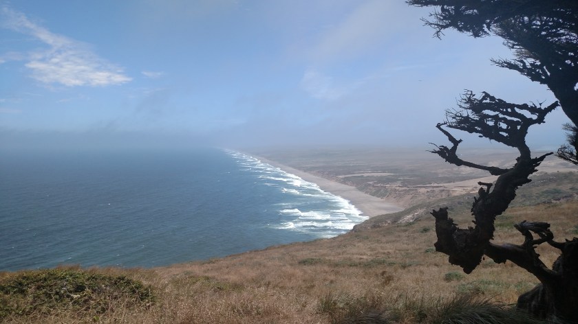
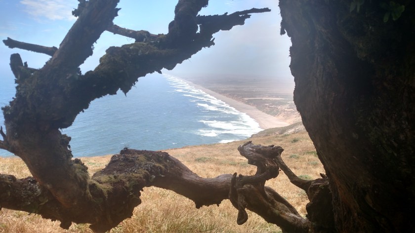
I drove as close to the peak as I was allowed to but had to park the car and walk the remainder of the way. I had seen a sign at the Visitor Center that Point Reyes is the windiest and foggiest place in on the west coast. Think it wasn’t windy?? This is how the trees near the peak grow:
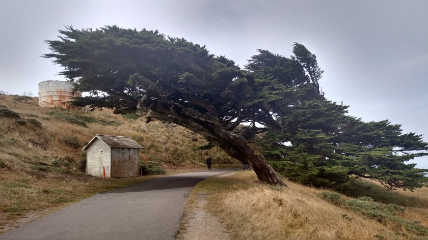
Believe me, it was VERY cold and VERY windy at noon on this Saturday!
Well, I walked past the highest point and started to descend on the other side. I was puzzled. Where was the lighthouse?? Well, much to my surprise, I found it way down by the ocean:

I didn’t go down the stairs to see it because then I’d have to come back up!. They put it down there because of the persistent and heavy fog. I believe the Ranger told me it is only 250 feet above the ocean.
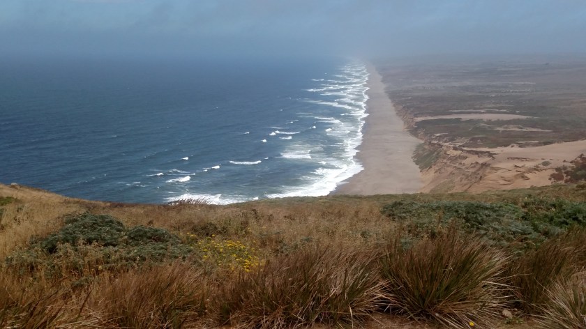
As I walked back towards my car I noticed that some of the fog at the peak was finally starting to burn off so I could now see northeast along much of the length of Point Reyes Beach.
And when I drove back to Inverness it was much sunnier there than it had been in the morning:

In a few days I would return to Point Reyes and drive out Limantour Road which would take me to Limantour Beach.