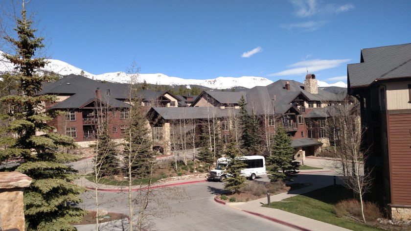
Now that my family activities are finished and I have adjusted to both the altitude and Mountain Time, it’s finally time to don the Safety Sam vest and hit the road. Today I drove from Colorado Springs south and west across the state to Montrose.
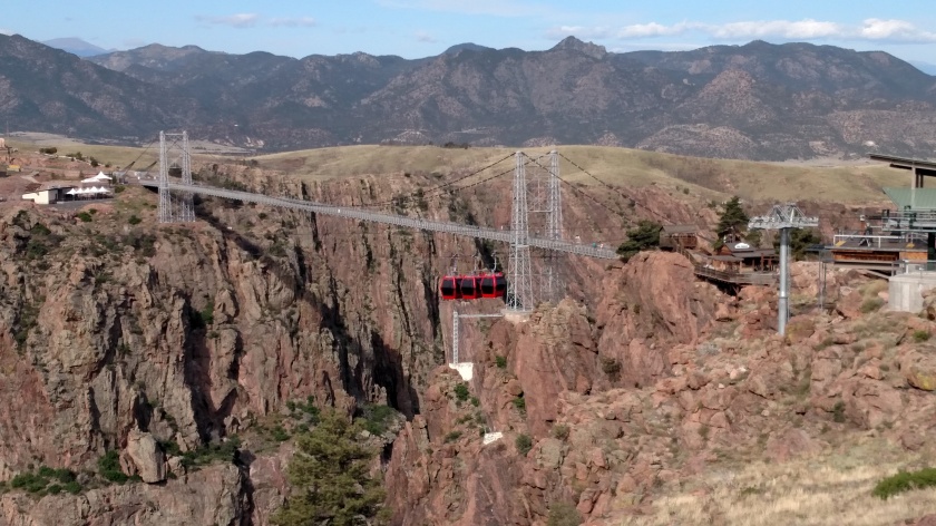
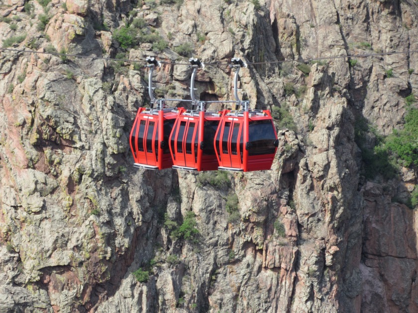
Just west of Canon City (there is a squiggly above the middle ‘n’ so it is pronounced “Canyon”) I stopped at the Royal Gorge Bridge. It is 1,260 feet long and is situated 1,053 feet above the Arkansas River, making it the highest suspension bridge in the United States. It is a tourist attraction which, in addition to the bridge itself, offers a tram, ziplines, and other daredevil activities. Those all cost money (and I’m cheap and afraid of heights) so I was content to stand on the sidelines and enjoy from a distance.
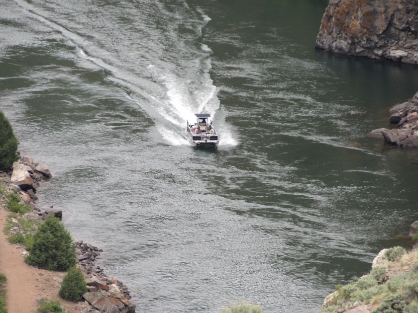
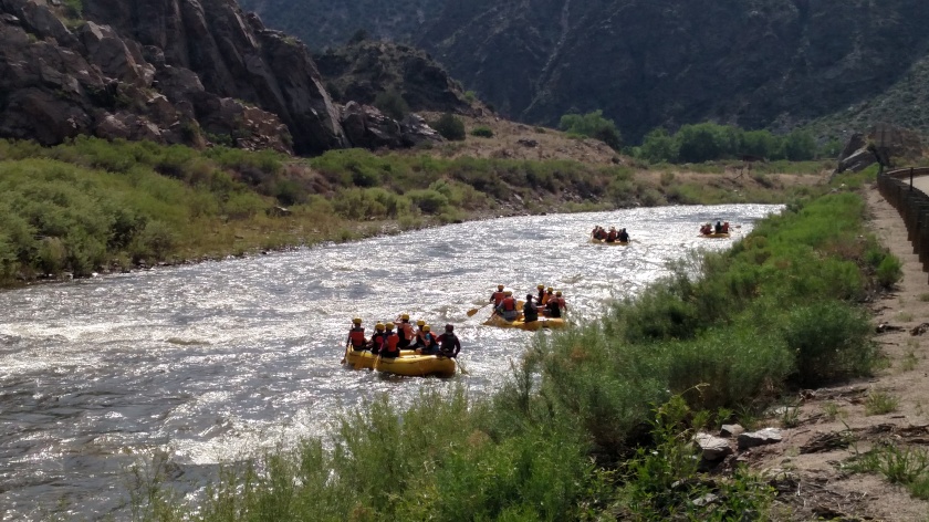
Further up the road I came across a group of rafters just getting underway. They will probably end up going under the bridge.

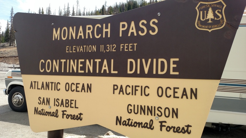
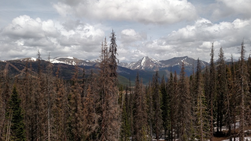
Next I drove over Monarch Pass. I zig-zagged over the Continental Divide several times during last year’s trip but this may be the only occurrence this year until I head back east in the fall. I was here around noon local time and the temperature had dropped to 50 degrees with a stiff wind, so it was quite brisk.
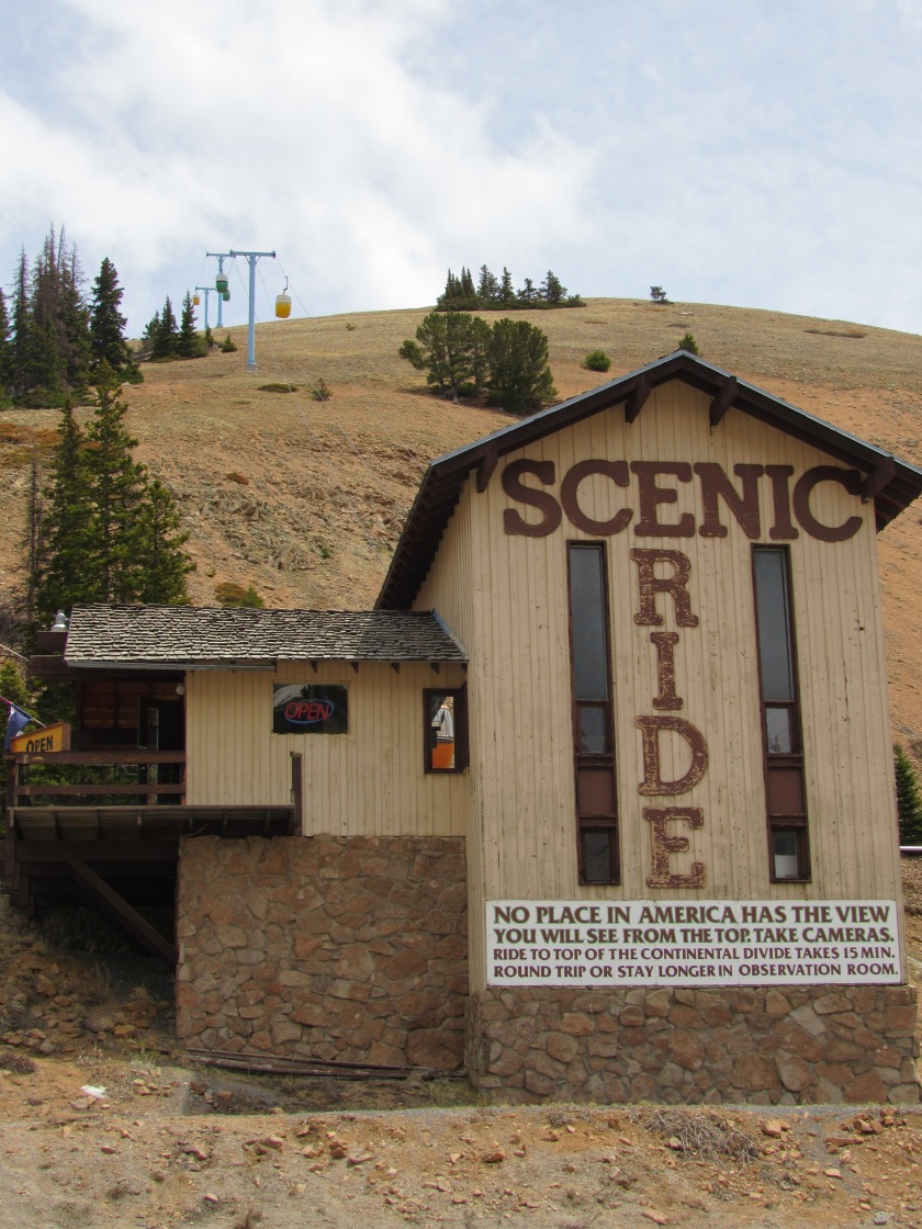
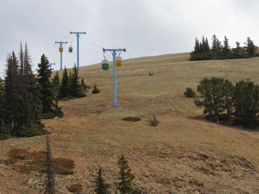
Looking back at Monarch ski area
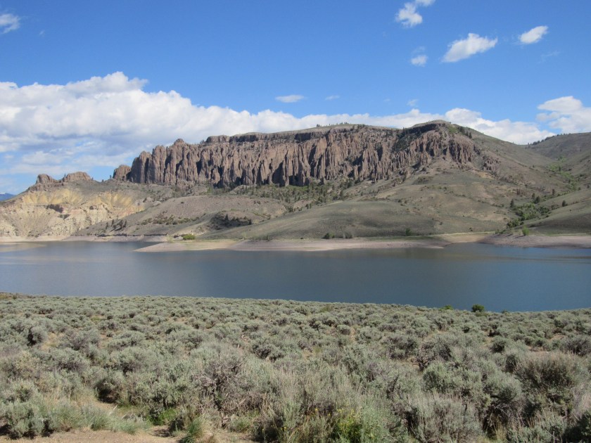
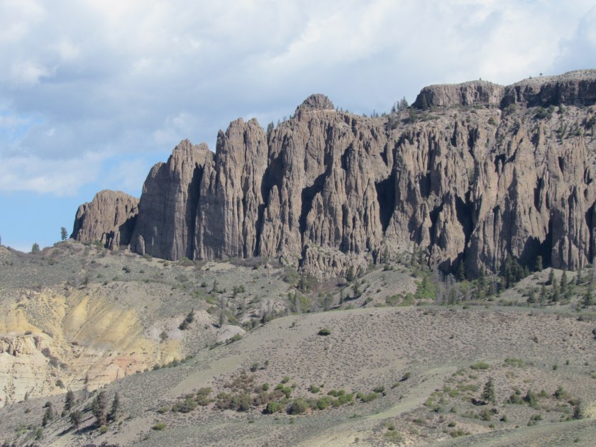
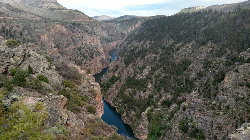
Soon after passing through the town of Gunnison I entered the Curecanti National Recreation Area. I was really looking forward to coming back to the area to spend some time at the Blue Mesa Reservoir, the largest body of water in Colorado, which is the centerpiece of Curecanti. I was distressed to see how low the water level was.
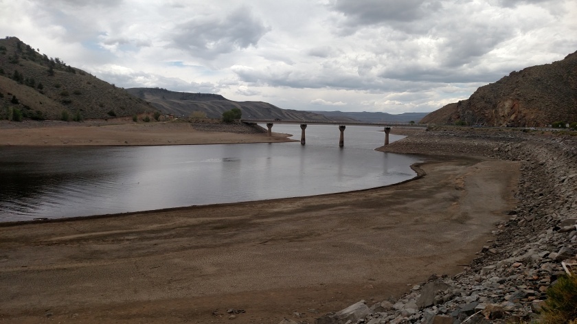
I was at this same spot last year and the water was considerably higher. I stopped in the Visitor Center and learned that they are in a drought situation as they didn’t get the normal amount of snow so it looks like the boaters may be in for a less than ideal summer on the lake.
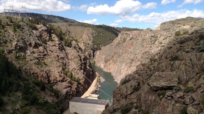
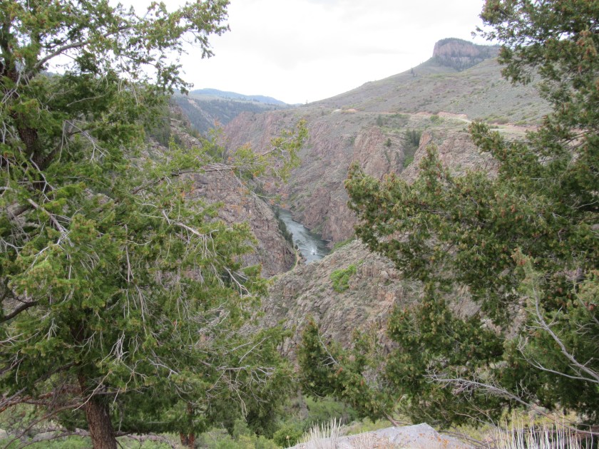
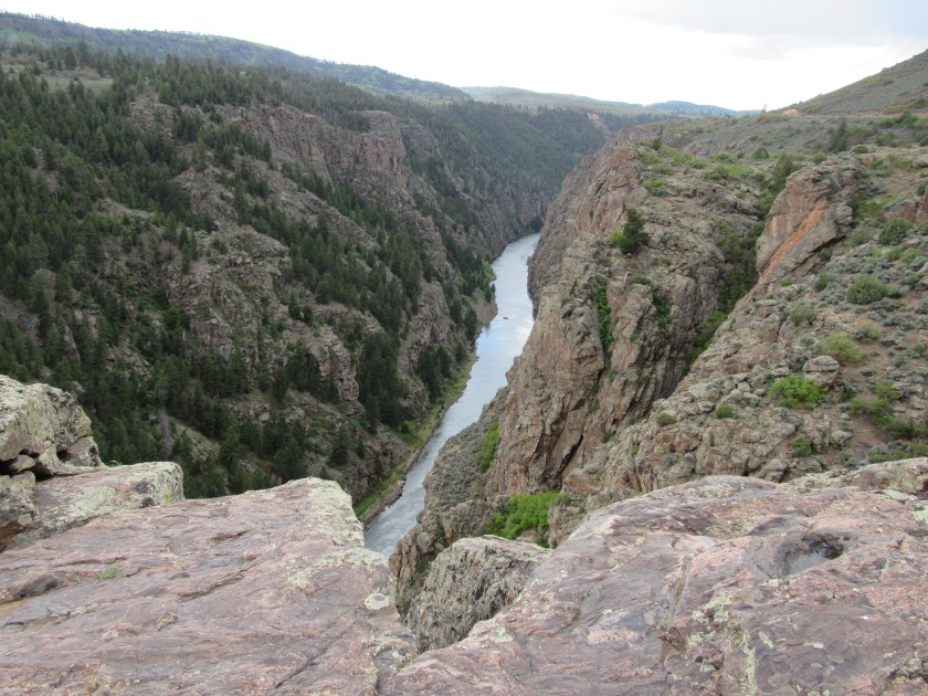
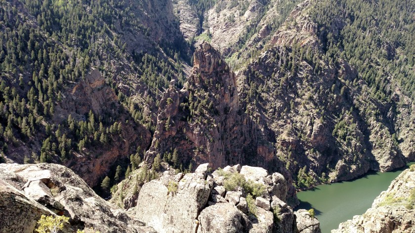
At the western edge of Curecanti I was very close to Black Canyon of the Gunnison National Park, which I visited briefly last year and was another reason why I wanted to return to this part of Colorado. I learned there are two different entrances, and will be in Montrose two more nights, so I will go in one side tomorrow and the other on Thursday. I took some pictures today but a heavy overcast had moved in and I’ll wait to see if I get better pictures before posting them.