September 26, 2025
Today I will drive down to Seward – a trip I started to take shortly after arriving in Alaska before I reversed direction to go up and actually see Mt. Denali when it wasn’t shrouded in clouds. Google Maps said this trip should only take 2 hours and 20 minutes but as you will see, I stopped to take lots of photos so it took longer than that.
Here are two maps. The first map will cover the next four days. After spending two nights in Seward I will go from there “down” to Homer (by going back up to Hwy 1 and then west and south).
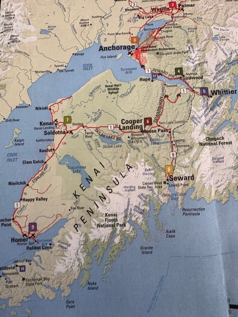
(Photo credit: Alaska.com The Alaska Map)
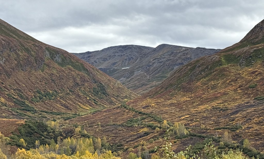
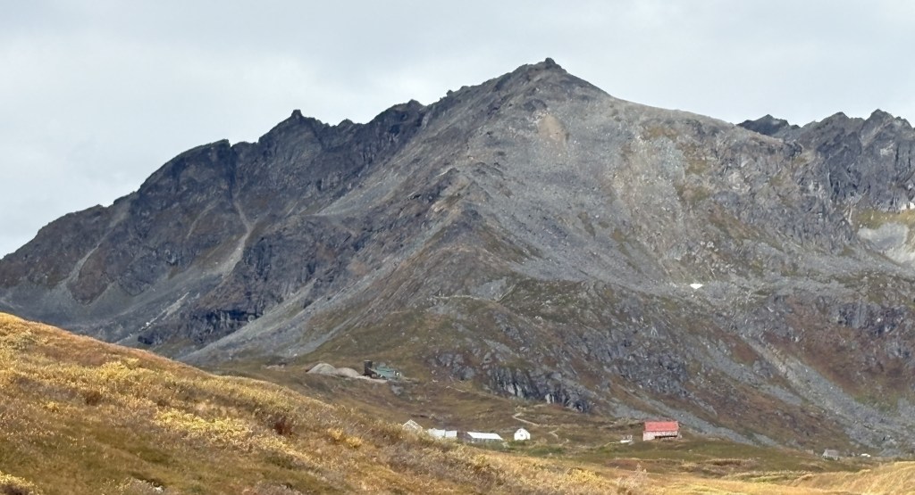
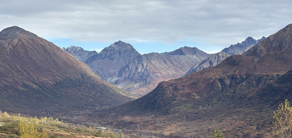
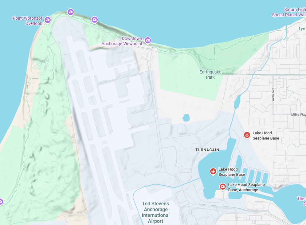
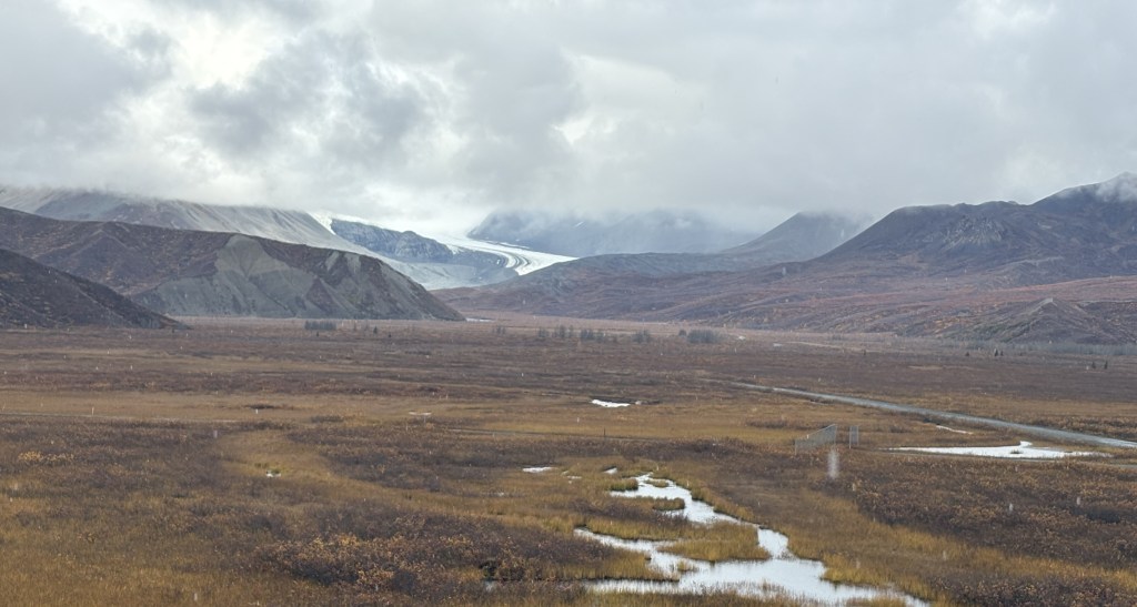
Here is another map which shows that today, after I leave Anchorage, I will be driving near the bases of mountains the rest of the day.
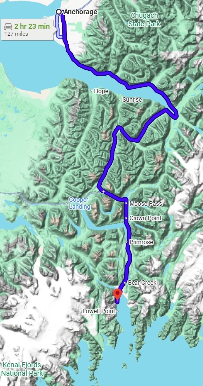
(Photo credit: Google Maps)
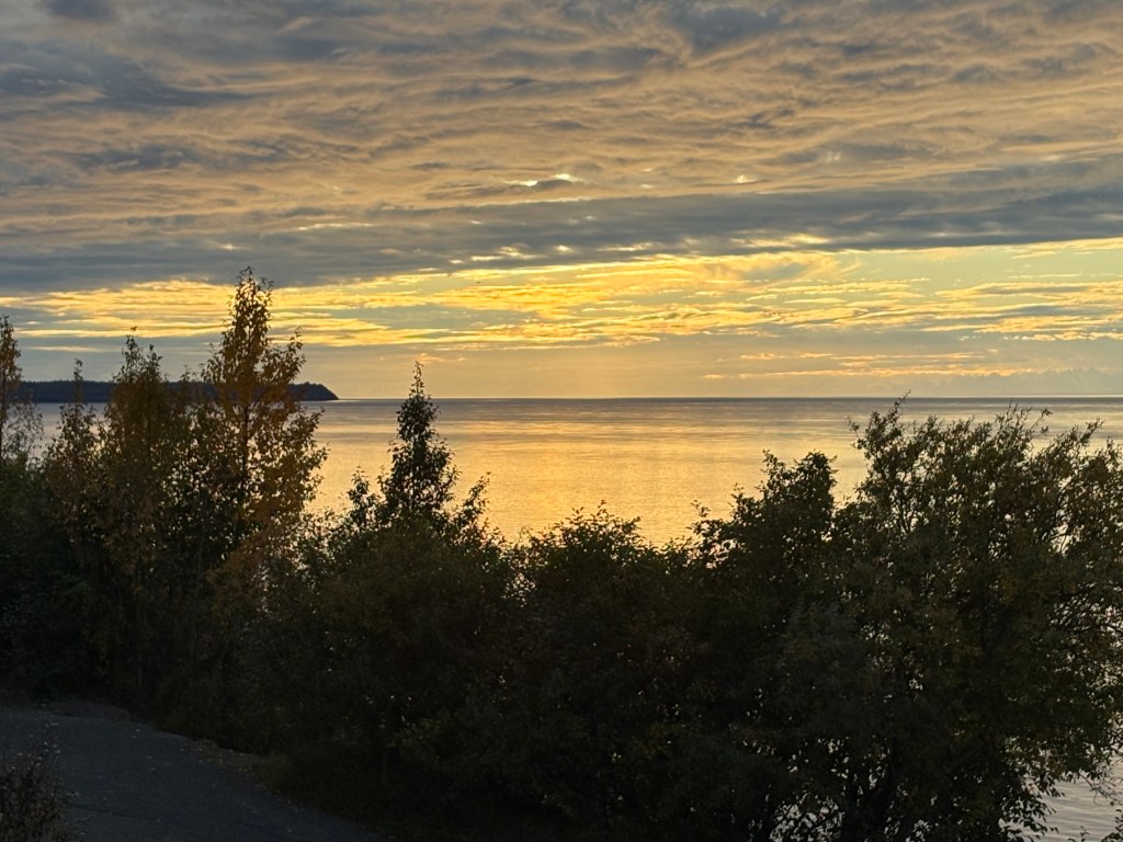
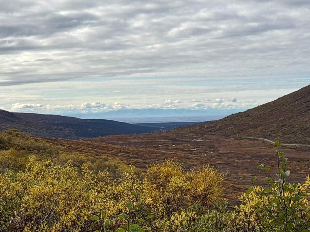
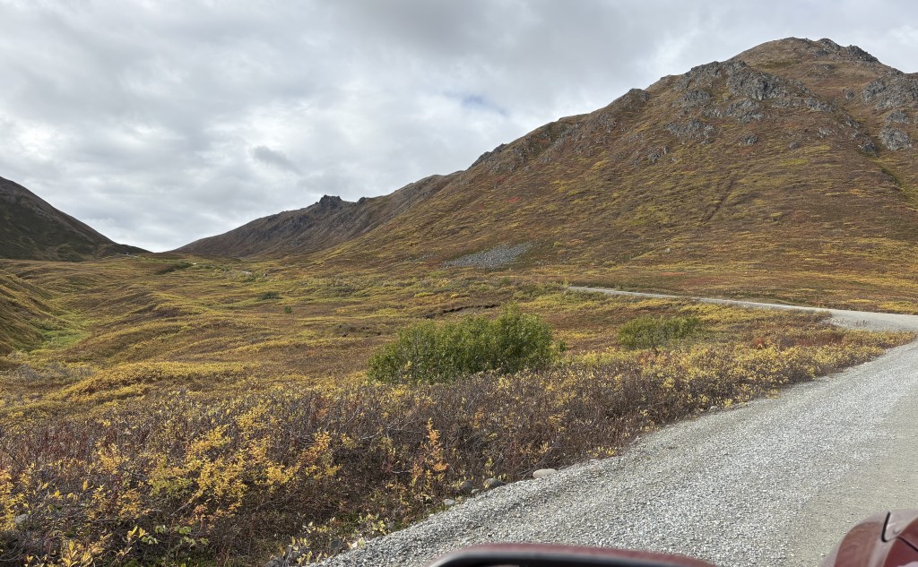
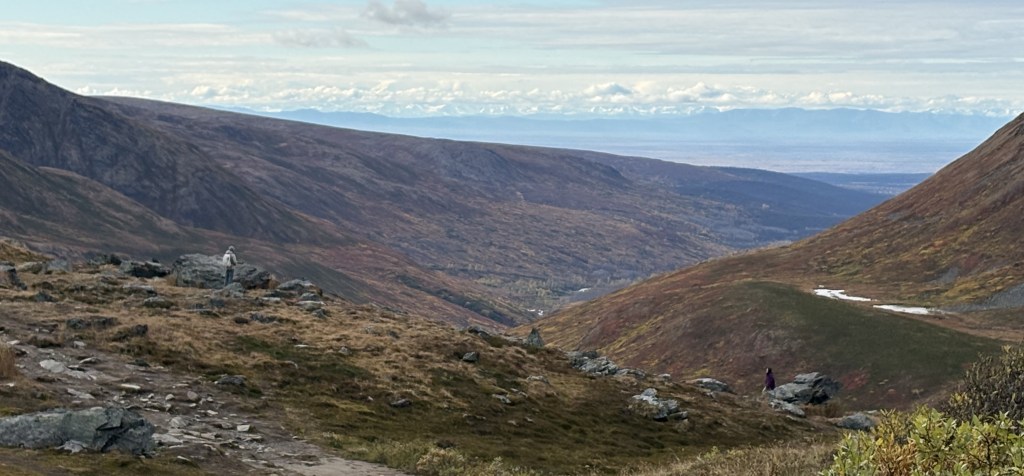
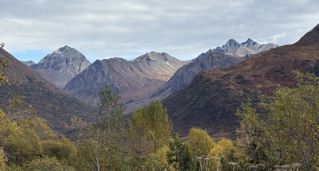
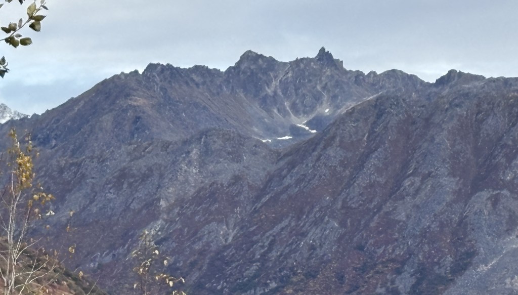
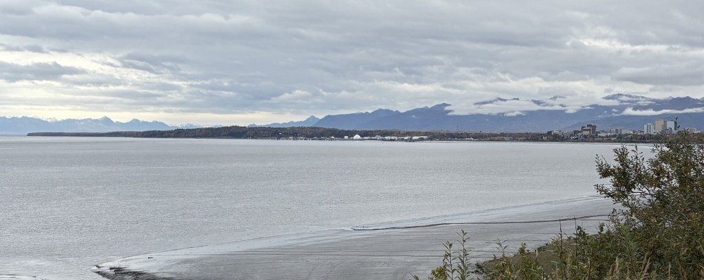
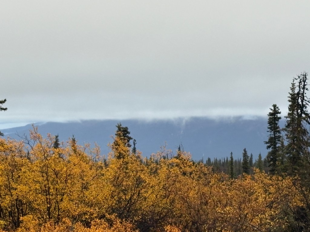
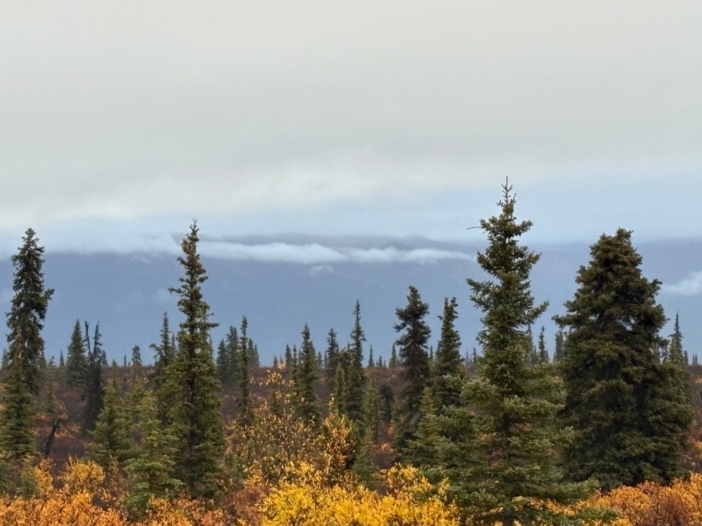
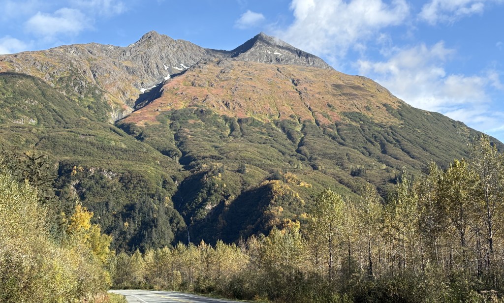
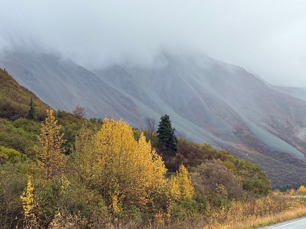
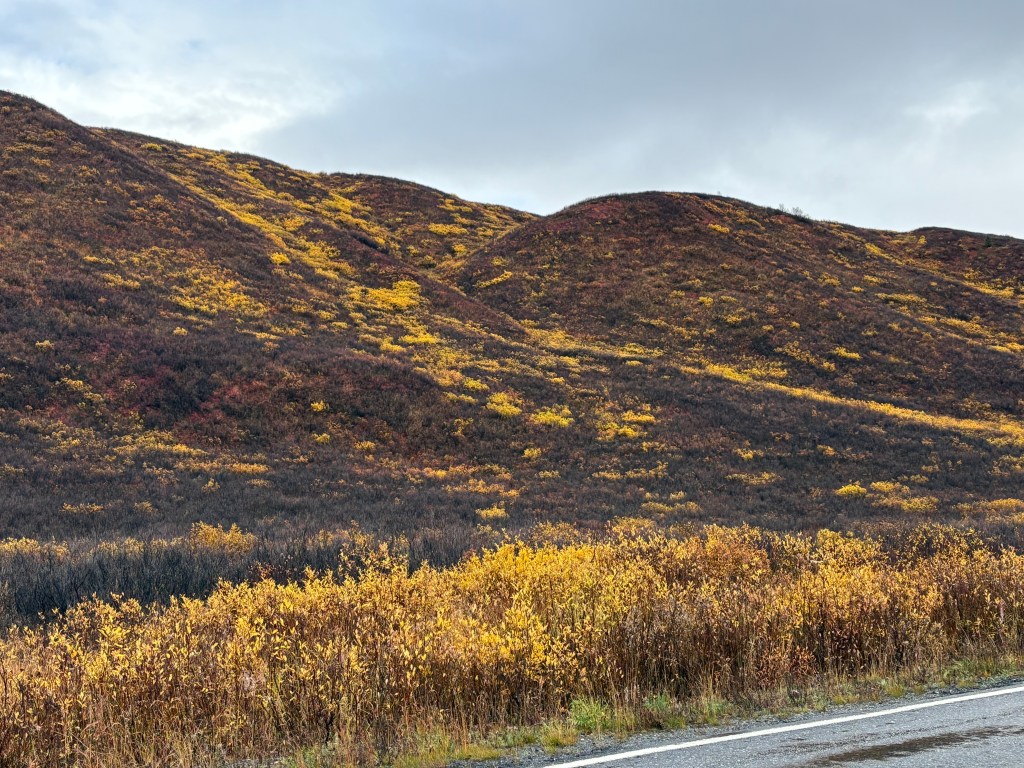
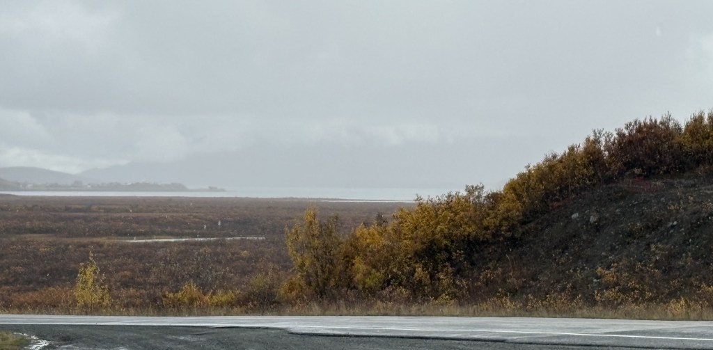
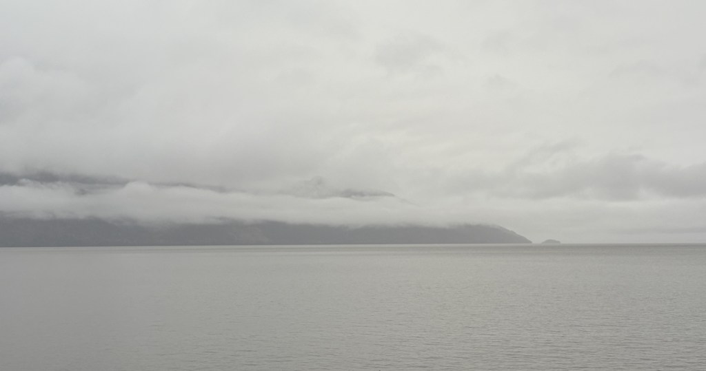
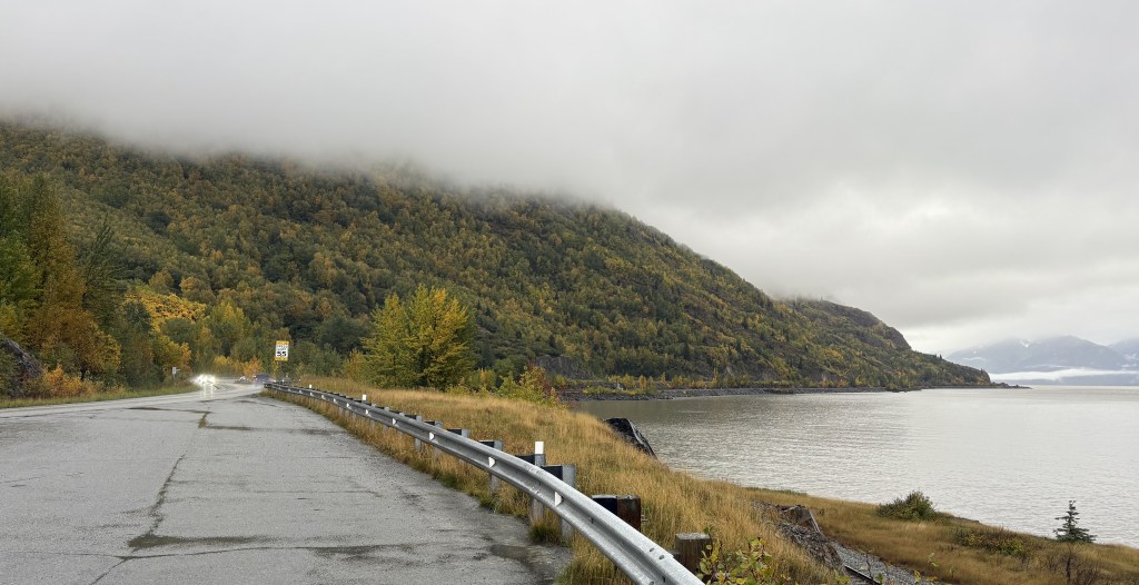
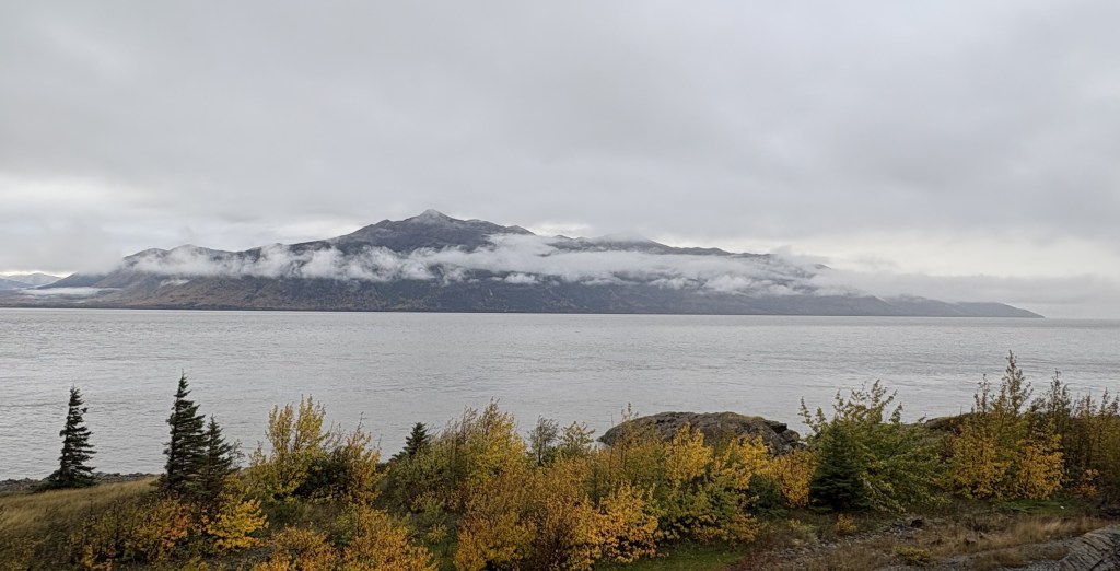
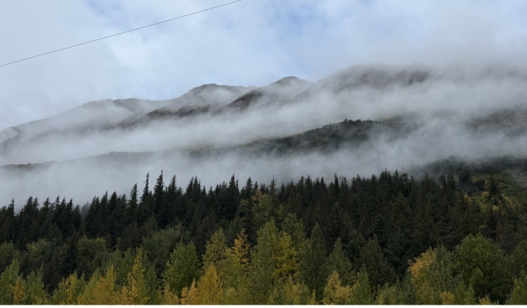
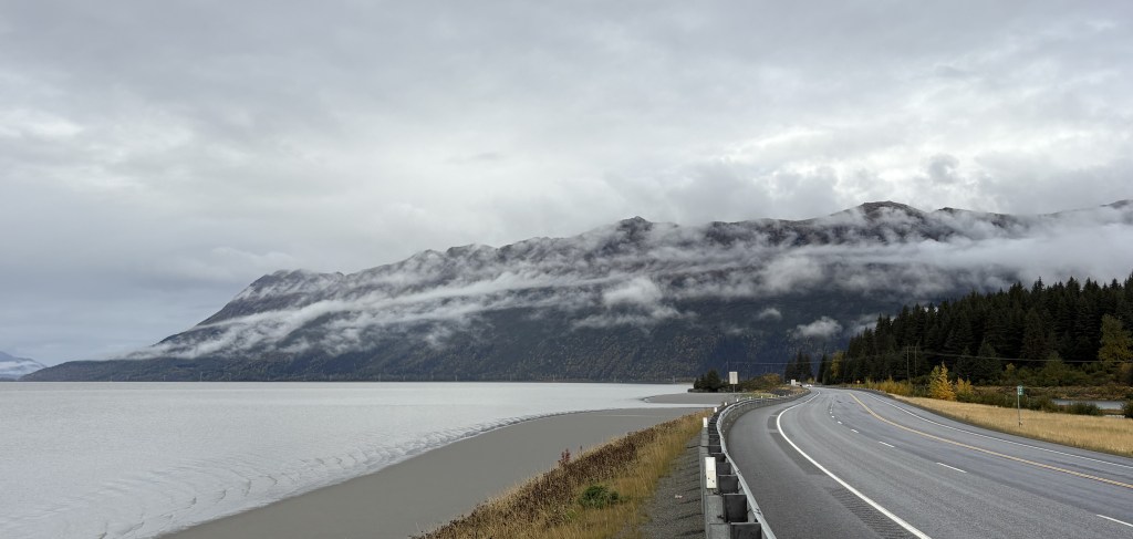
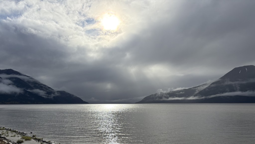
The first part of my drive will be along the Turnagain Arm, a body of water which branches off of Cook Inlet up near Anchorage. As you will see, there were low clouds which resulted in less than ideal photos. When I go back north in a few days it will be a beautiful day and I will get some better shots.
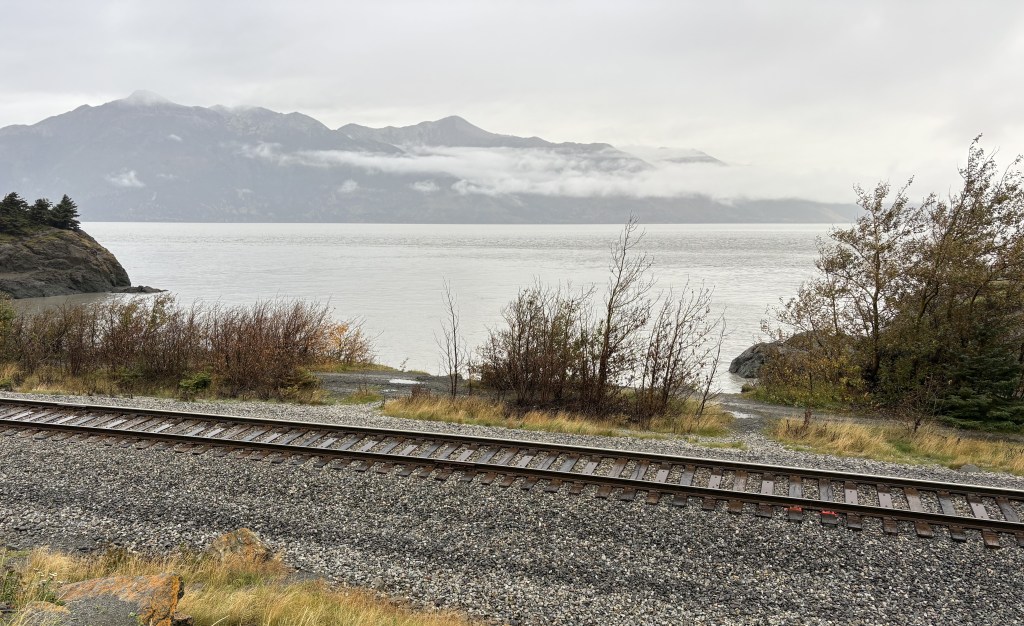
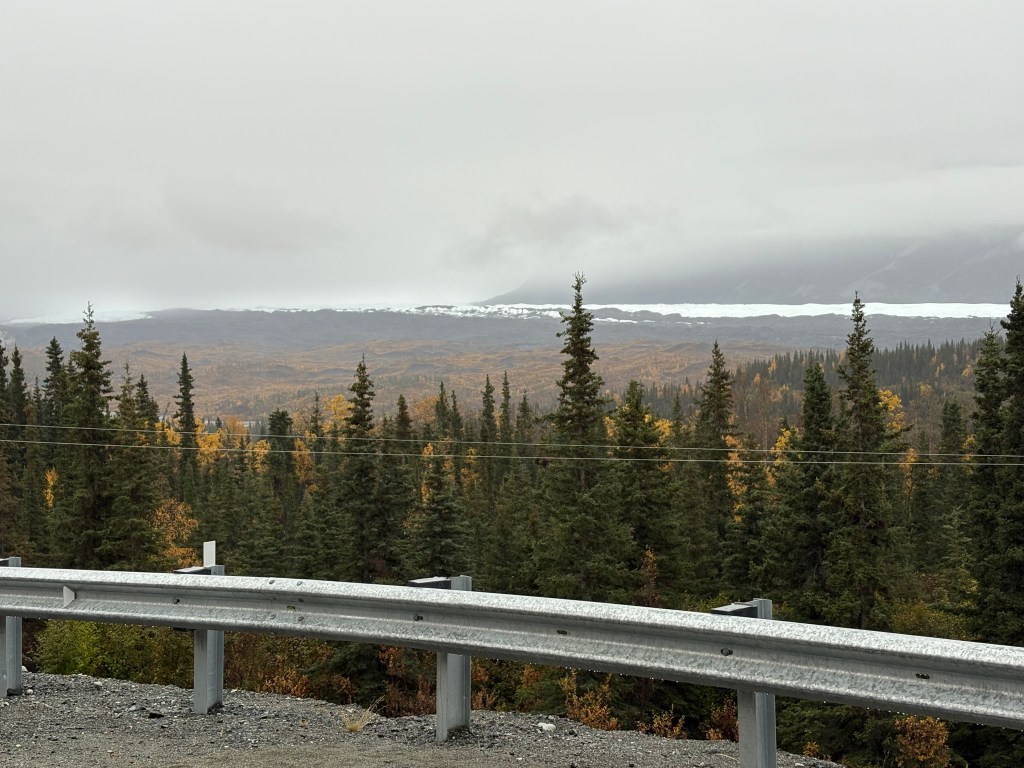
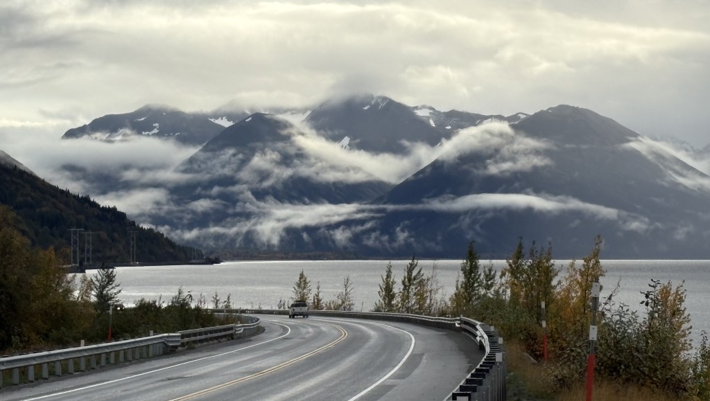
I left the railroad tracks in the shot to illustrate that the Alaska Railroad runs right alongside the highway.
There are beluga whales in this body of water, though I didn’t see any. I also read that in the winter large chunks of ice occupy much of the Turnagain Arm.
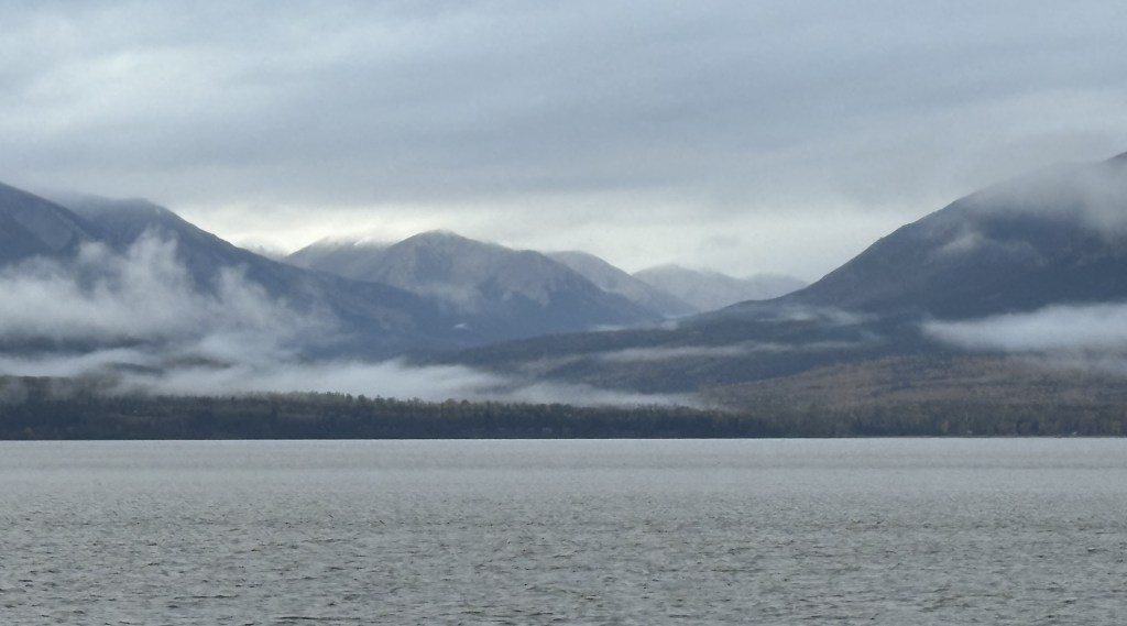

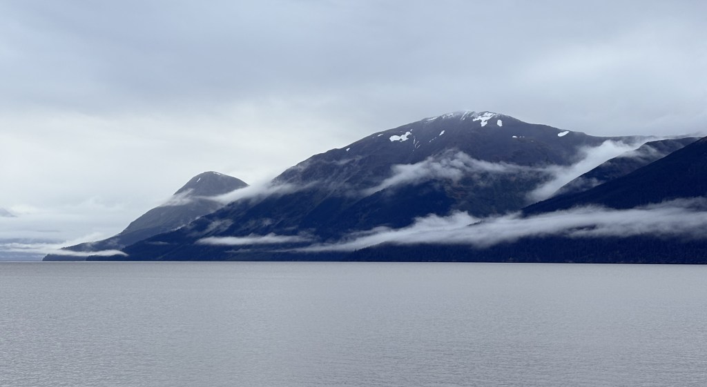
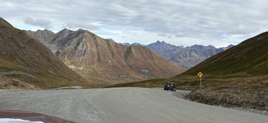
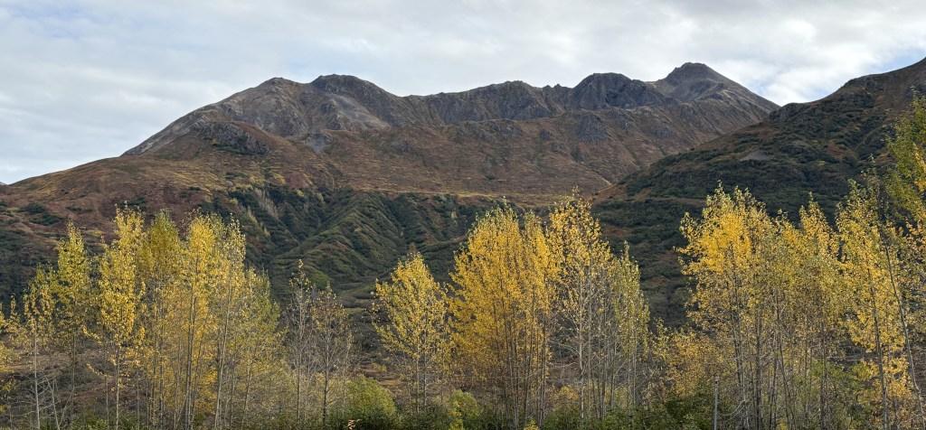
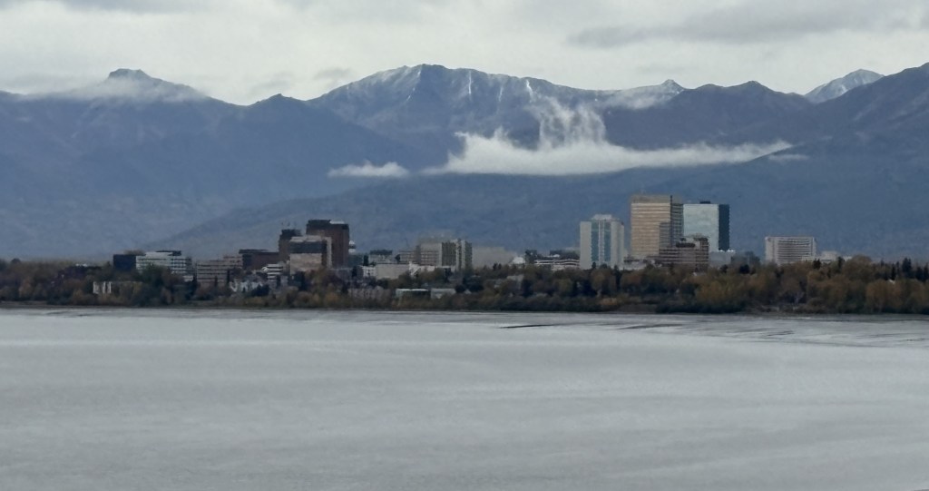
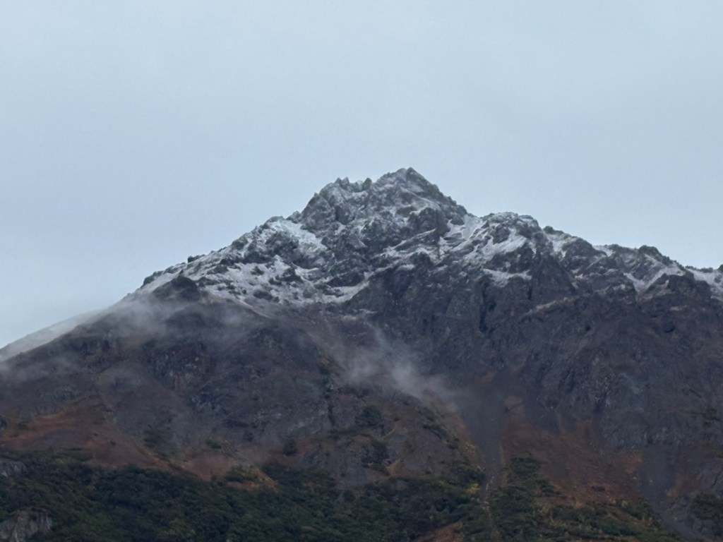
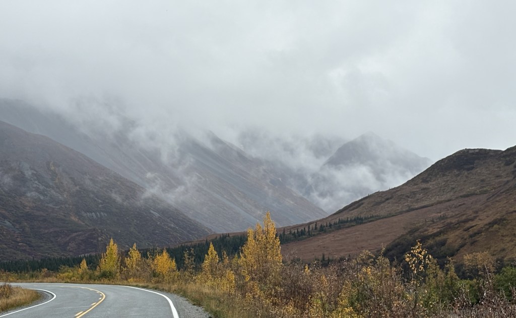
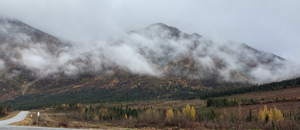
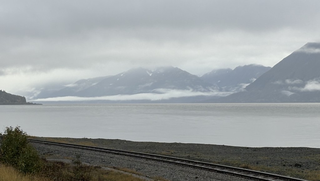
The photo above is looking back at some of the mountains I had driven past thus far.
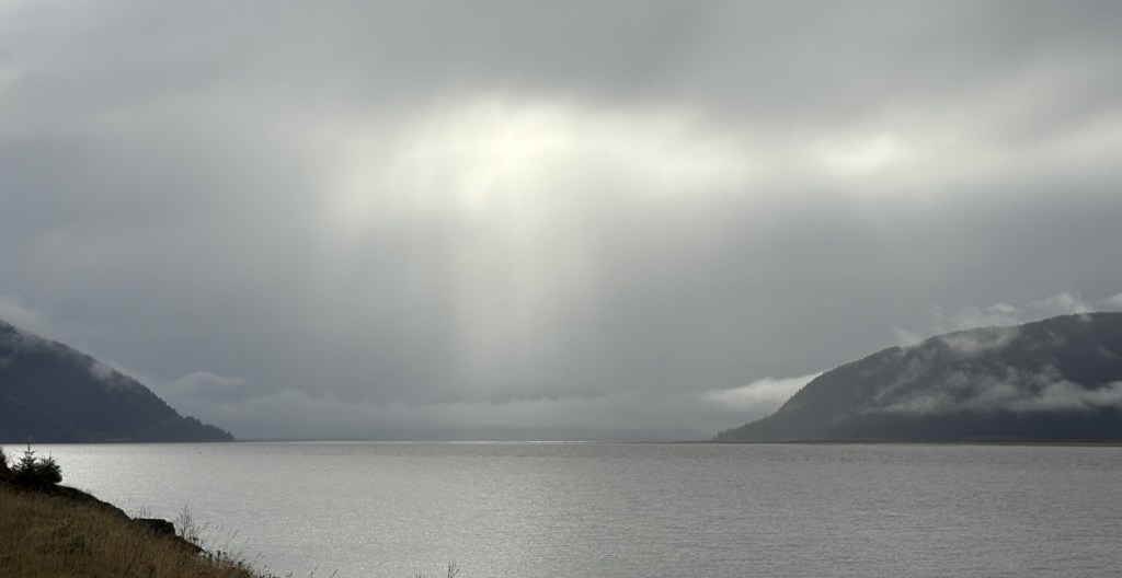
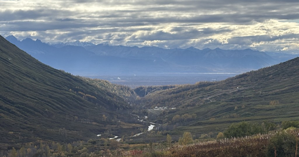
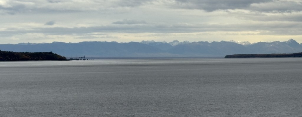
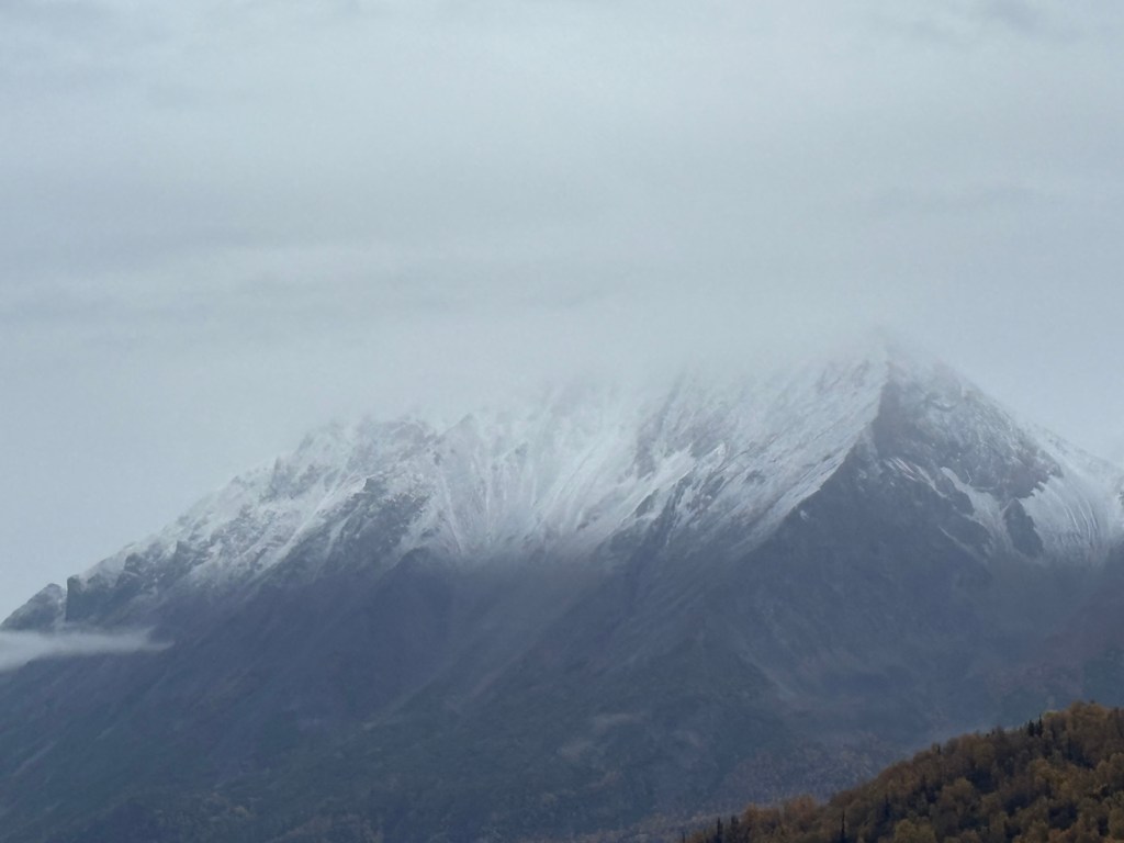
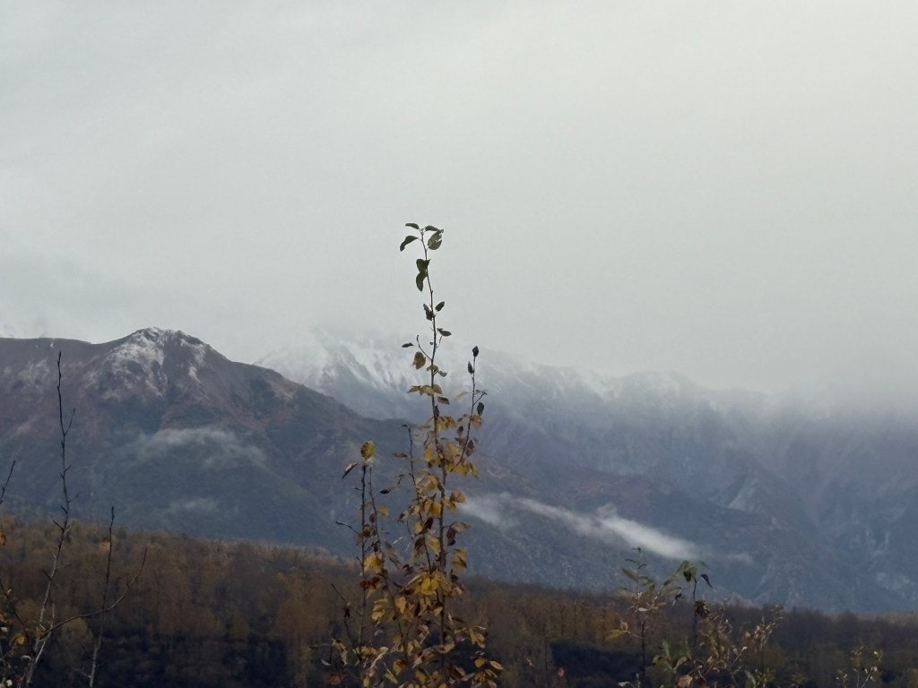
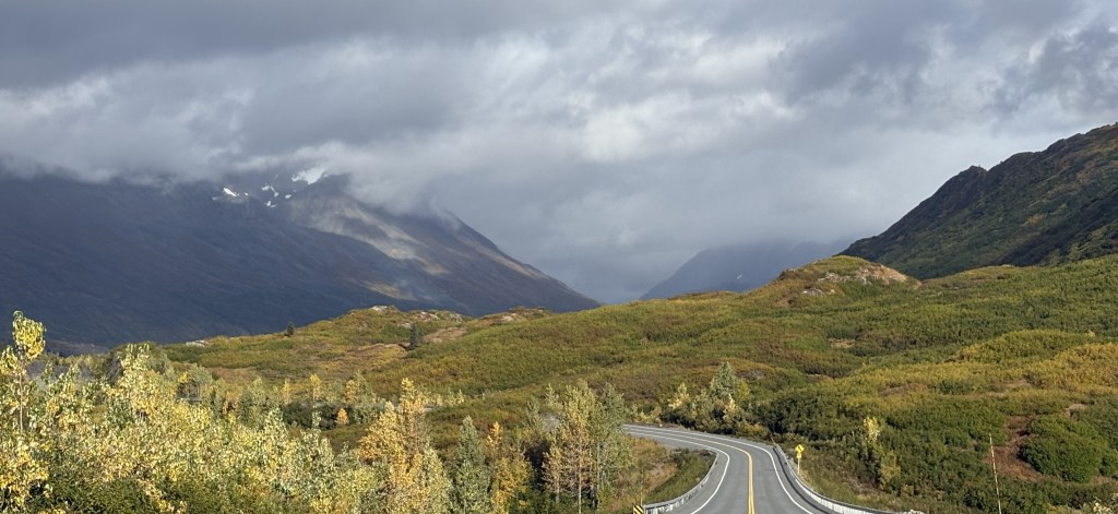
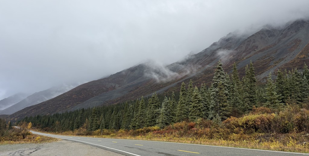
Ahead of me it looked like the sun was trying to break through the clouds above the water.
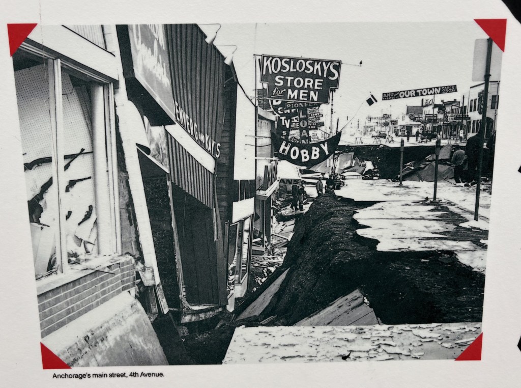
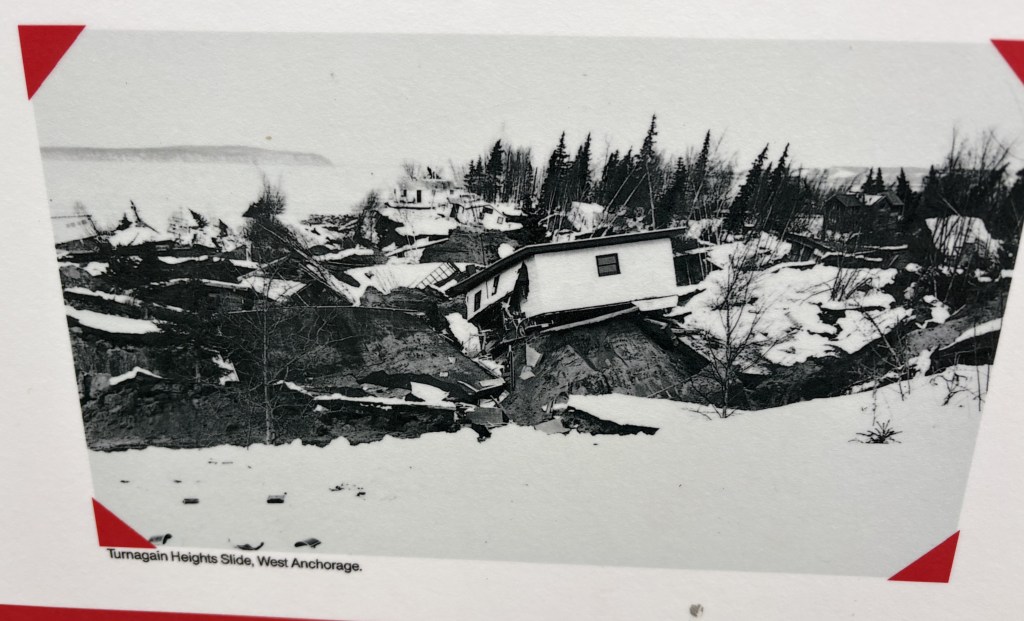
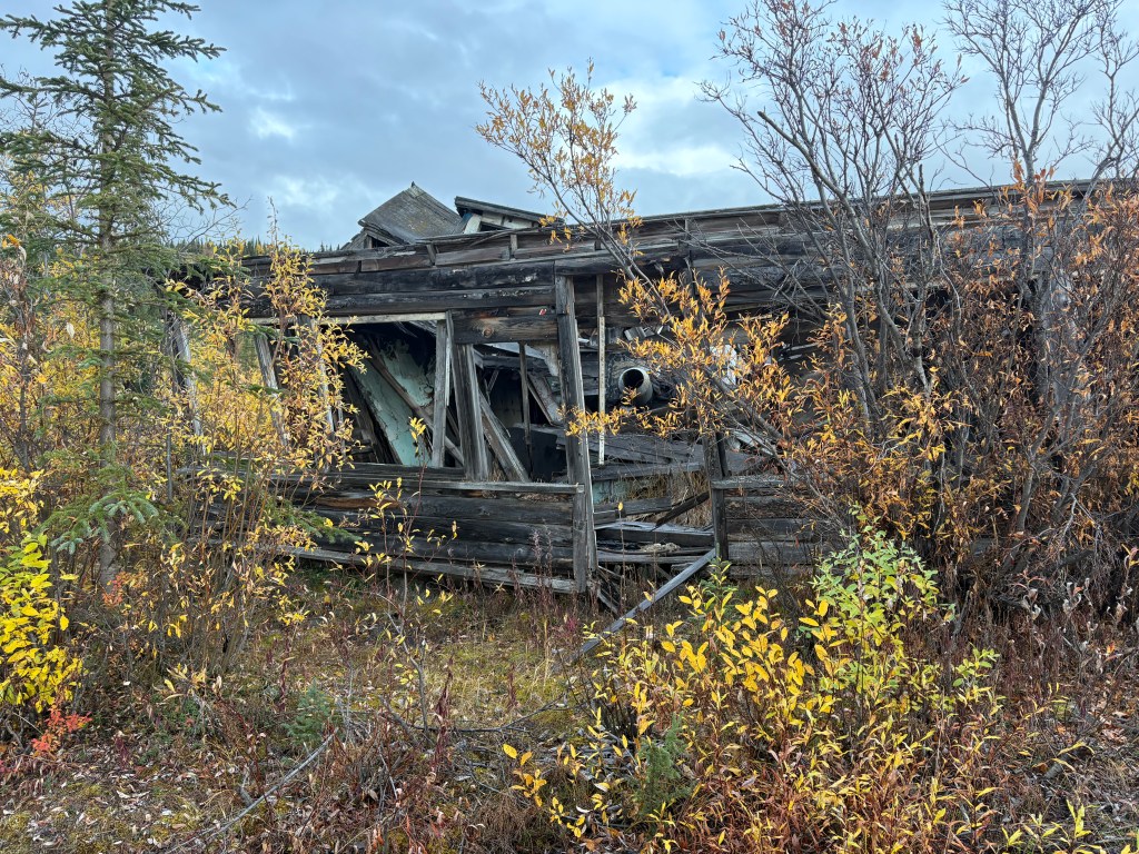
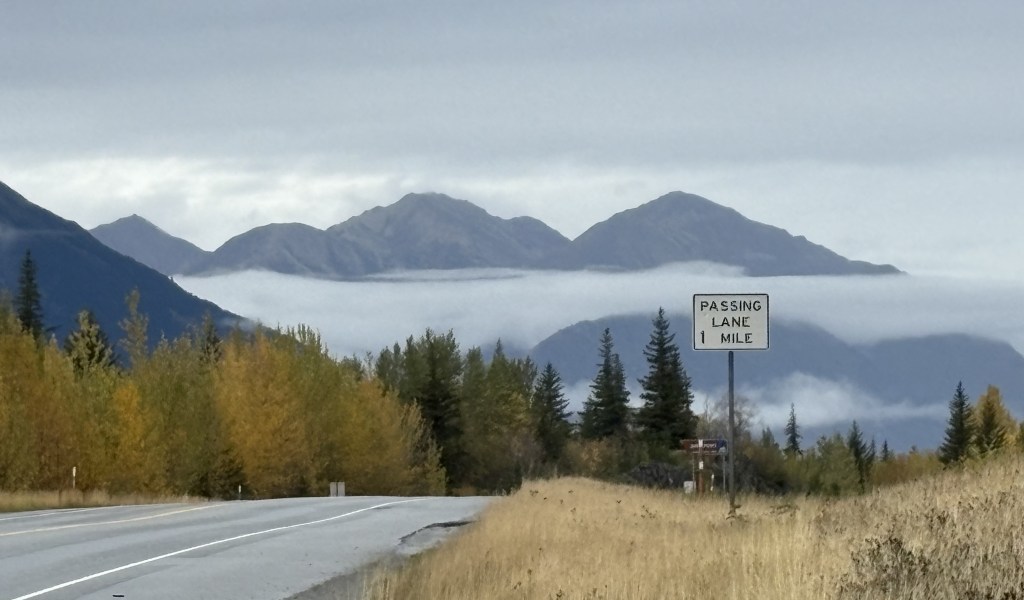
Further down the highway I reached the point where the road would turn right as part of a brief u-turn around the end of the Turnagain Arm before going southwest, away from the water. That turn is where the small town of Portage USED to be, before it was effectively destroyed by the 1964 earthquake. The quake caused the land to drop 6 feet which put it below the high-tide level, thus rendering it unable to support the town any longer. The only thing that remains is a building inland near the railroad tracks which the Alaska Railroad now uses.
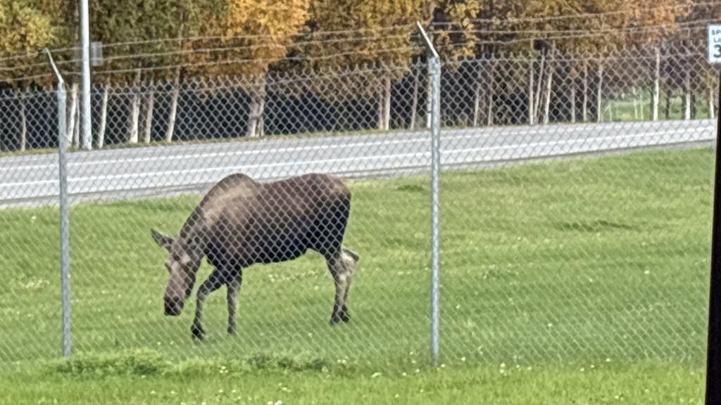
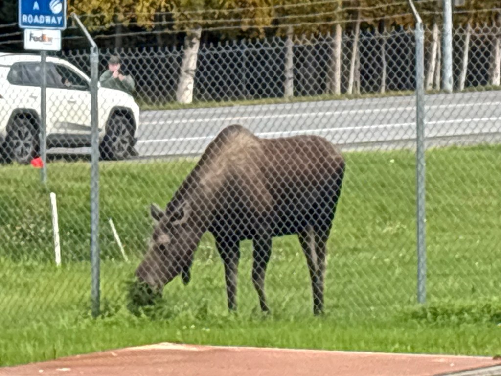
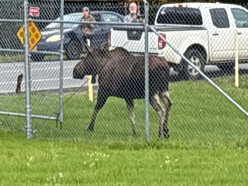
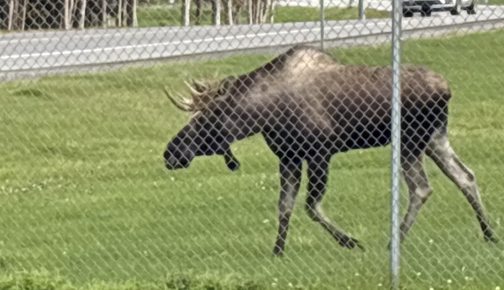
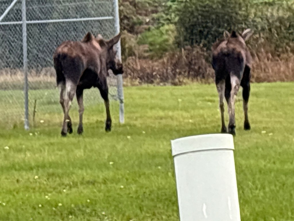
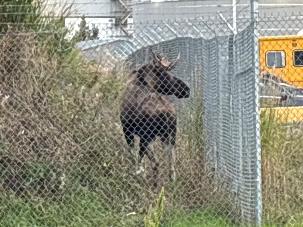
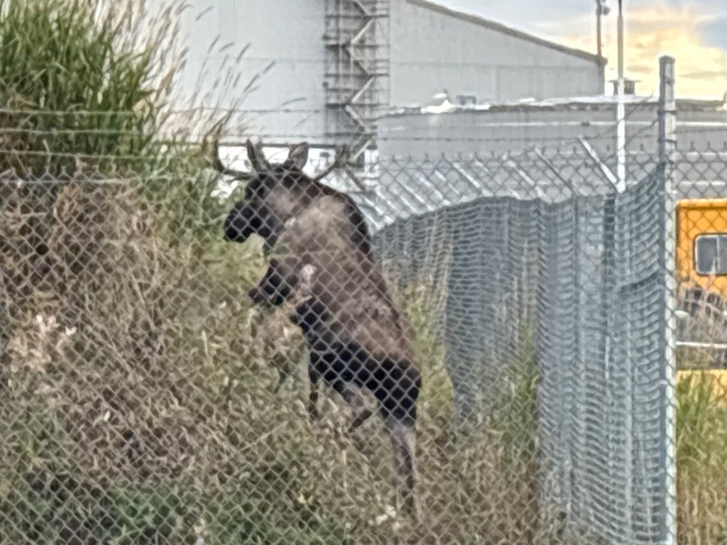
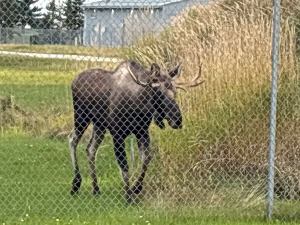
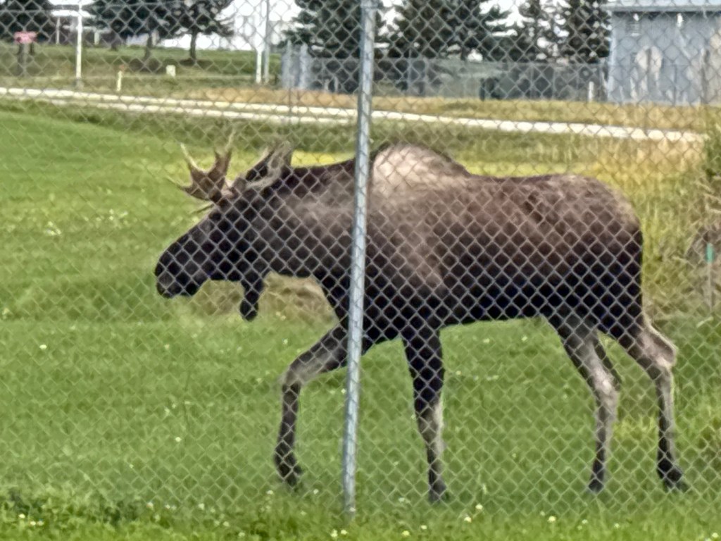
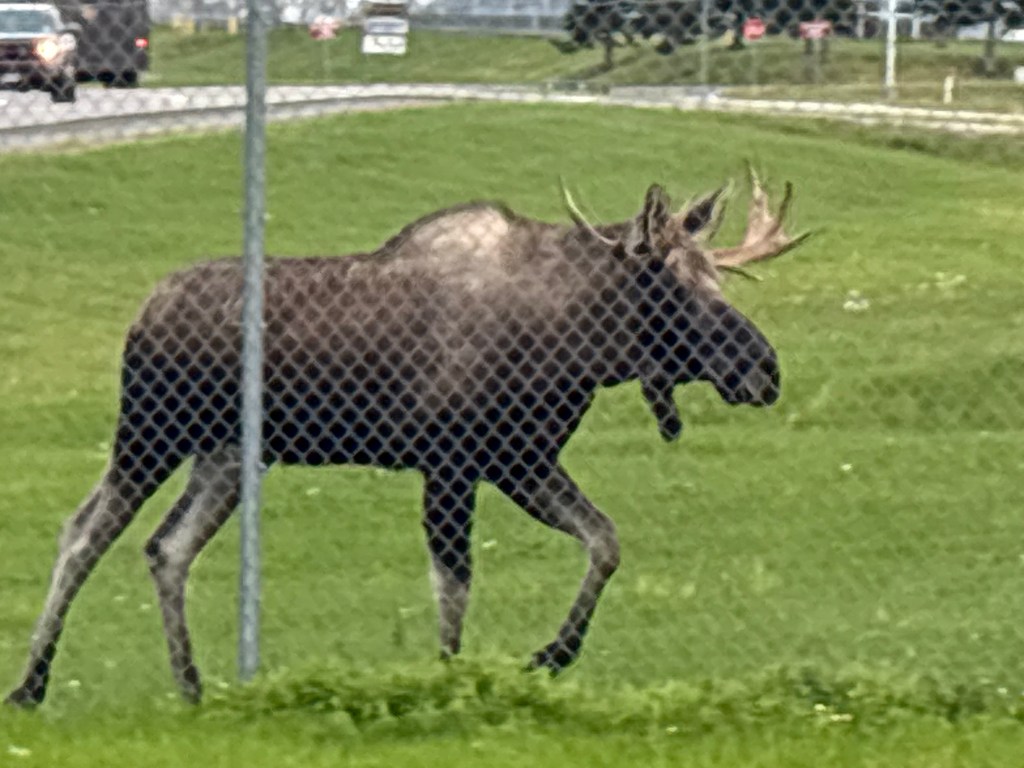
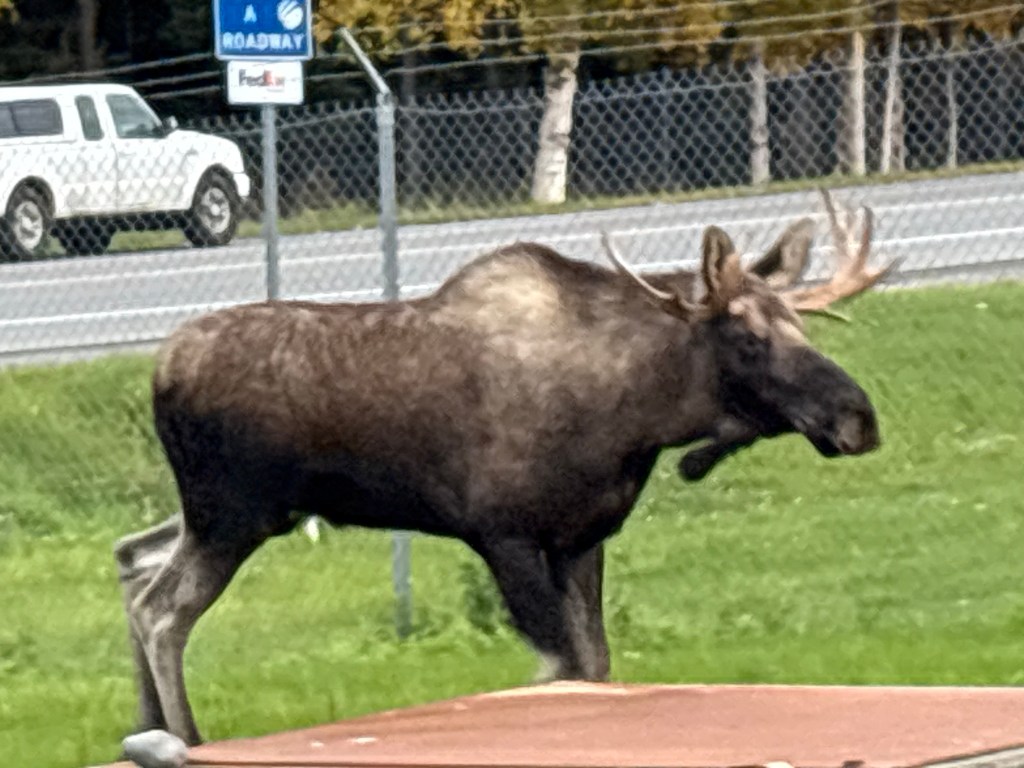
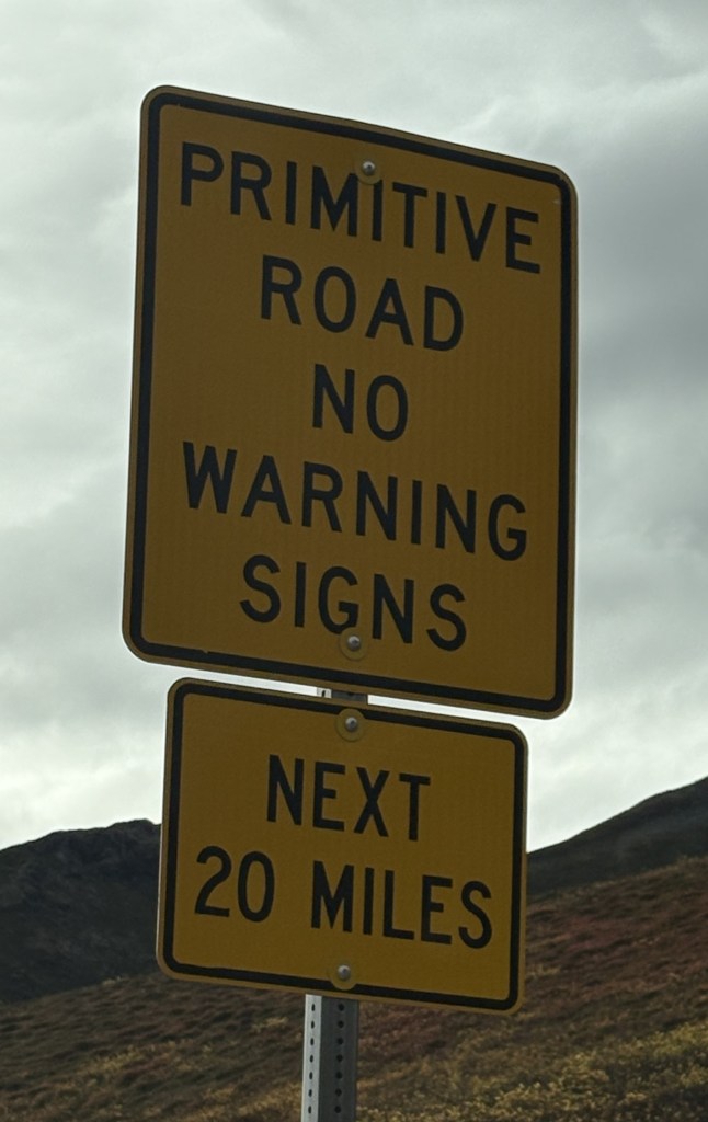
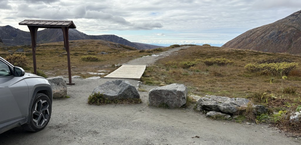
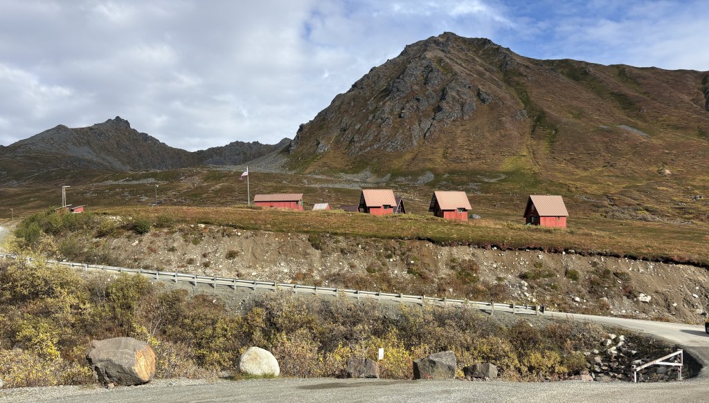
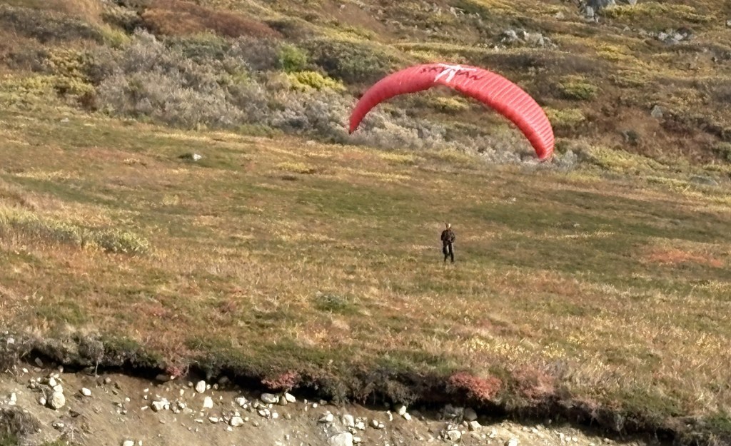
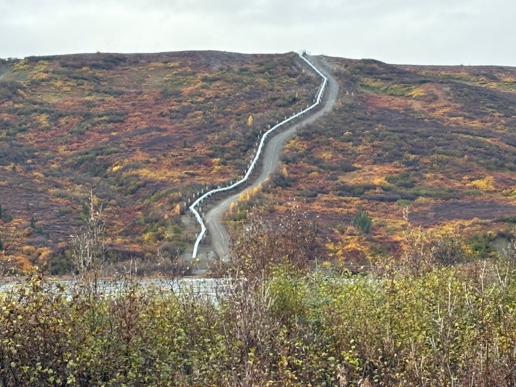
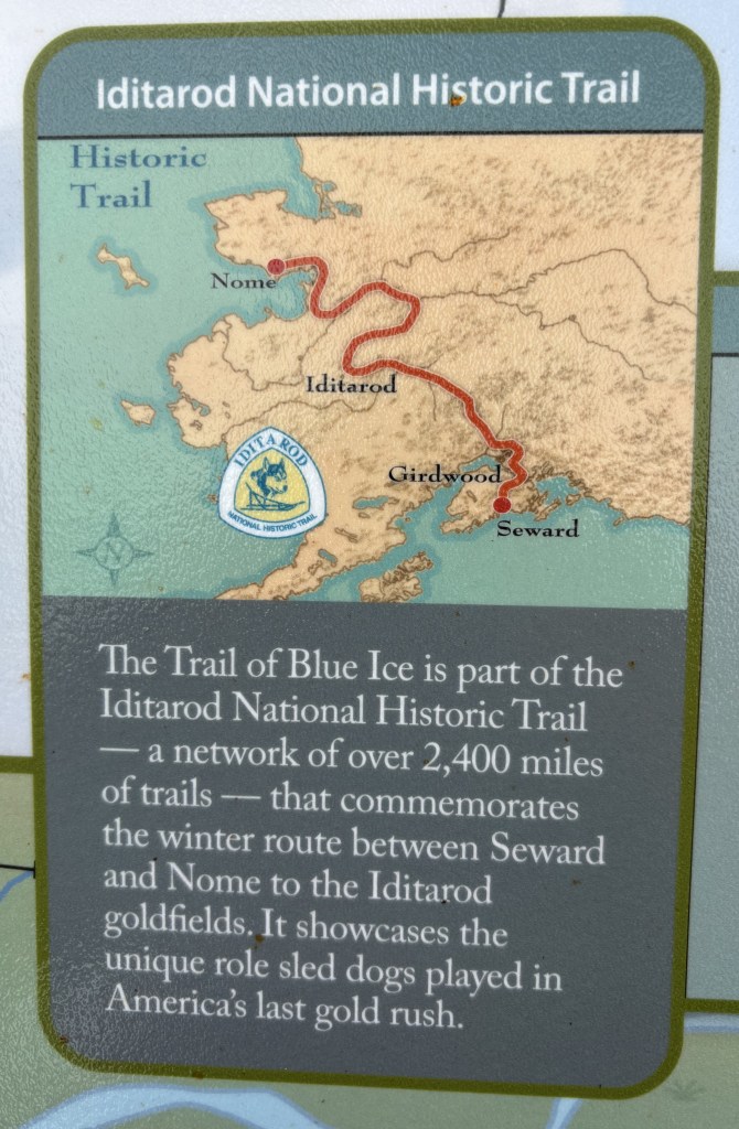
Shortly after passing “Portage” I turned off on Portage Glacier Road. I wanted to visit the Begich, Boggs Visitor Center for some information I might need for later in my trip. Before reaching the Visitor Center I stopped at a parking area called “Moose Flats”. I hung out there for a while, hoping perhaps I might see some moose. I did not. I did see this sign for something called the “Trail of Blue Ice” which is part of a network of trails which go all the way north to Nome, Alaska.
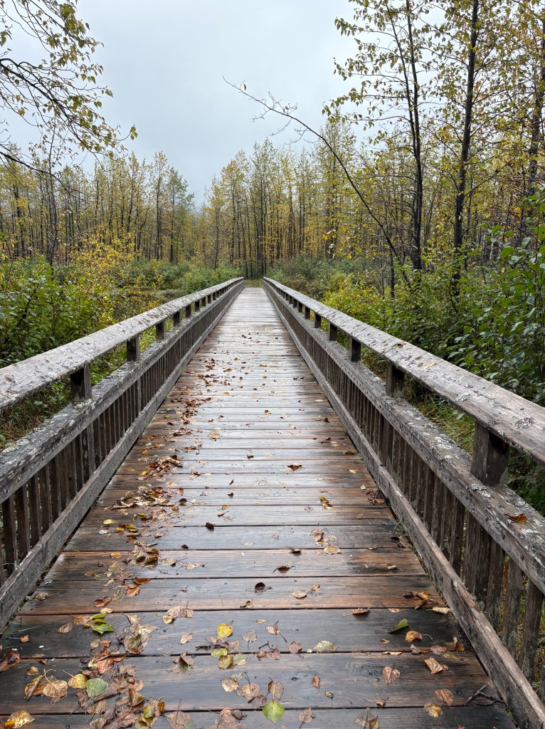
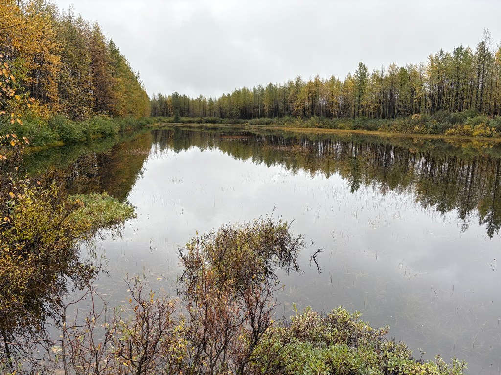
This is a walking bridge which took me away from the parking area and out to a small lake.
After giving on my hope of seeing any moose I drove a few miles away from the main highway to the Visitor Center which, of course, was closed for the season!
I had already exceeded the 2 hour and 20 minute drive time and still had a long ways to go.
(Continued in next post)