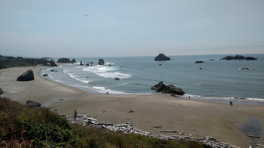
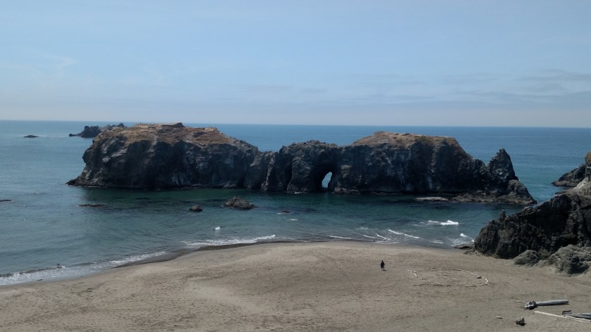
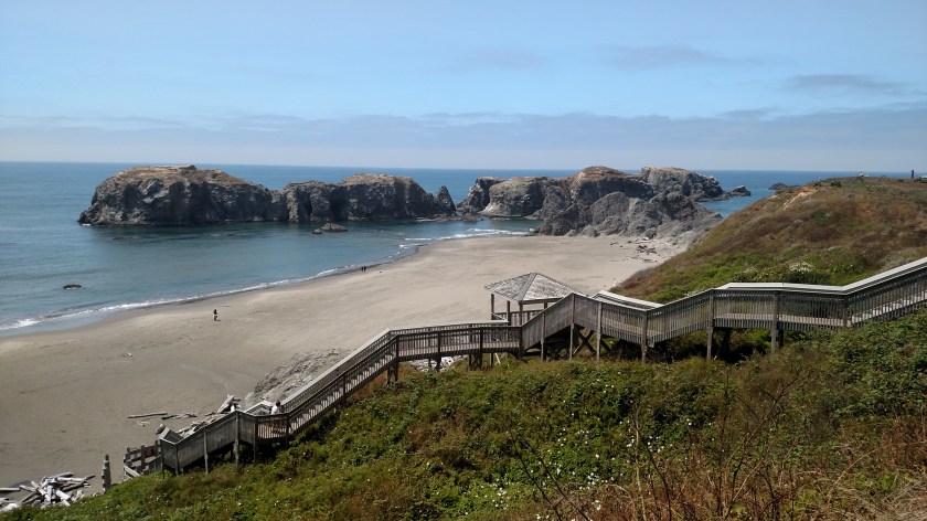
Monday when I went back to the Face Rock Scenic Viewpoint near Bandon, Oregon the visibility was considerably better than it had been the day before:
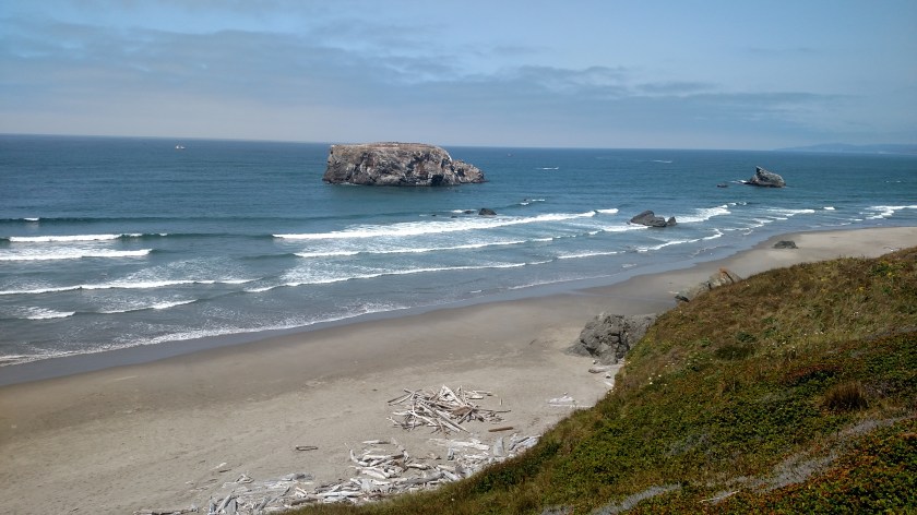
Sunday at 220pm:

Monday at 204pm:
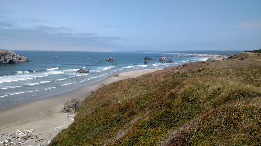
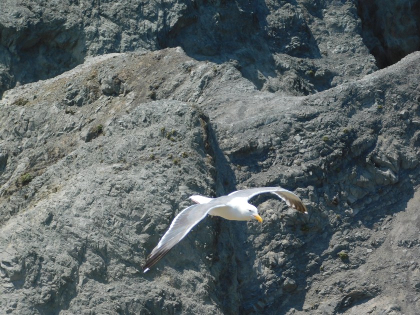
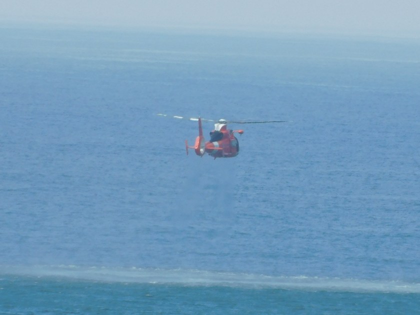
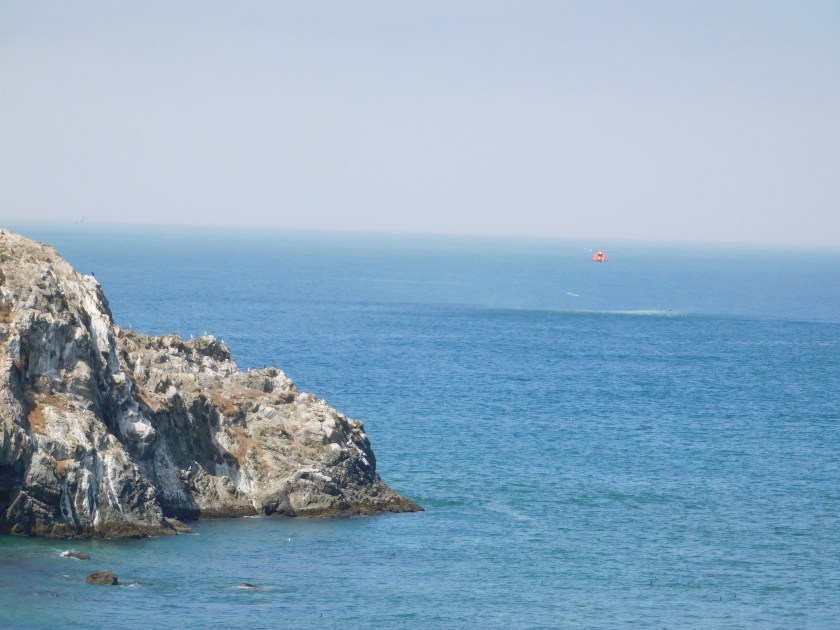
I was standing out on a cliff at a point close to the ocean, watching the seagulls fly by close to me as they had the day before. I noticed a red Coast Guard helicopter flying down the coast, maybe a mile out over the ocean – a fairly common sight. When it got south of the major rock formations it made a wide turn left, towards the beach.
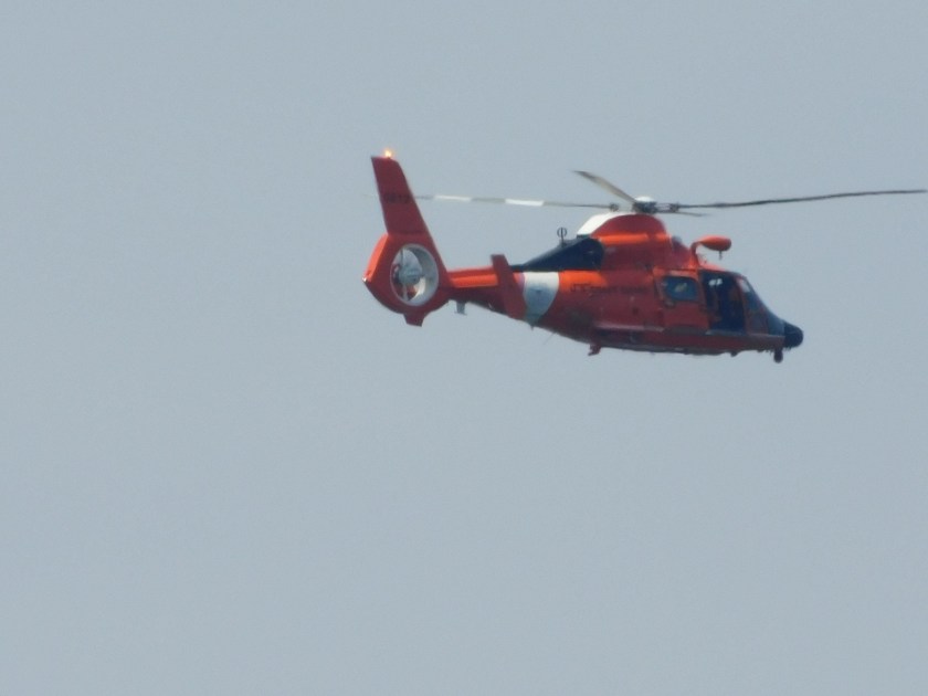
I presumed it was just turning around to head back north. I went back to watching the birds but after a minute or so I could still hear it. I walked north on the hill I was on and saw that it had taken a position low by the water on the opposite side of a big rock formation which had been blocking my view.
The fact that you can see a small part of that formation in this next photo is just due to the alignment of it between me and the helicopter, the heli was probably a quarter mile or more further out over the ocean.

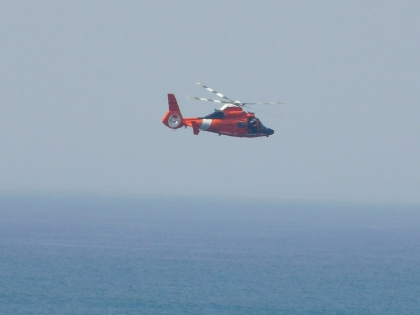
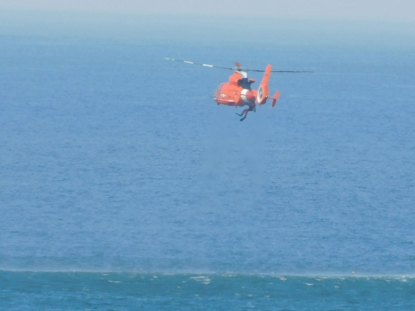
The chopper was hovering “tail-in” in radio control helicopter pilot-speak, meaning the tail would be facing me if this were one of my models and I were controlling it. I didn’t see any boats in distress (although there were some floating nearby which could have come to the aid of anyone stranded in the water) so I ultimately decided that this was likely just a training exercise.
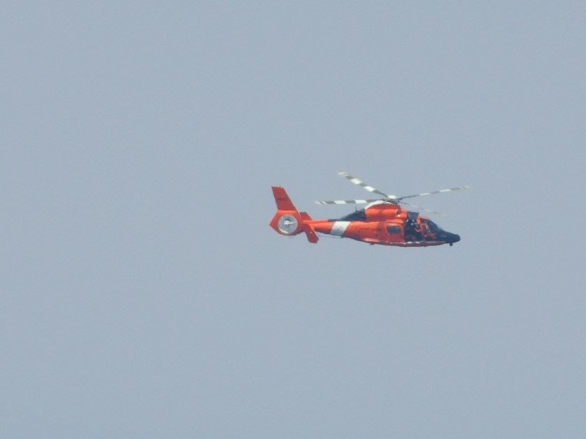
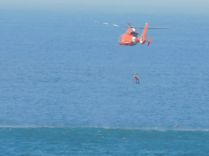
Shortly after taking the photo above I could see a diver exit the right side of the aircraft and he or she was ultimately lowered down to the ocean.
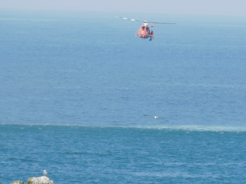
The helicopter hovered where it was for a while, probably only 40 feet above the water.
After a few minutes the helicopter rose higher and made a slow “orbit” clockwise:
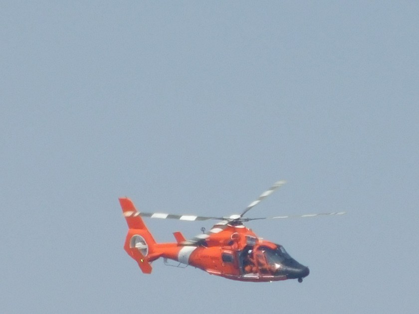

Then it resumed it’s position hovering above the spot where it had dropped the diver:
It sat there for a good 20 minutes more, systematically raising and lowering people to the ocean below:

The entire exercise lasted about 45 minutes, at which point the helicopter raised up high and flew north up the coast.