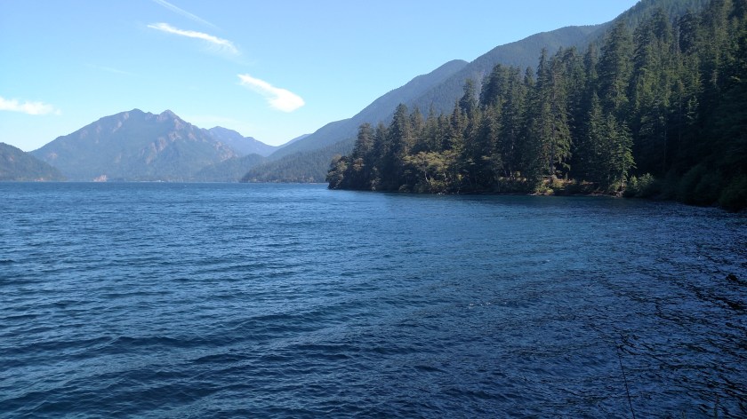
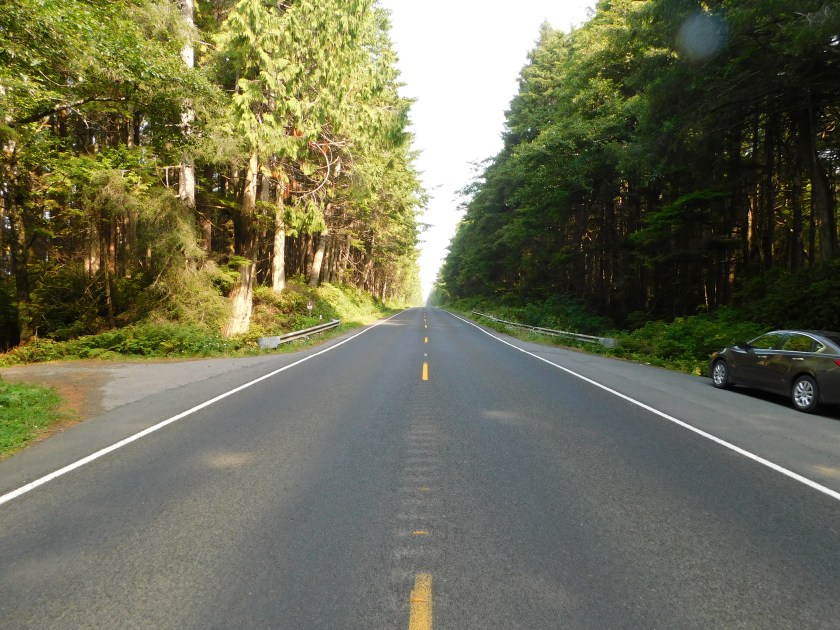
Saturday I took a nice scenic drive west of Port Angeles out to Cape Flattery. Highway 112, also known as the Strait of Juan de Fuca Scenic Byway, runs mostly along the shore of that large body of water which separates Washington state from Canada. There were a few small villages and a fishing harbor and towards the end of the road I entered the Makah Indian Reservation. I stopped at their museum, which was very interesting but they didn’t allow photography, and I had to buy a $10 Recreational Permit in order to take the 3/4 mile trail out to Cape Flattery.
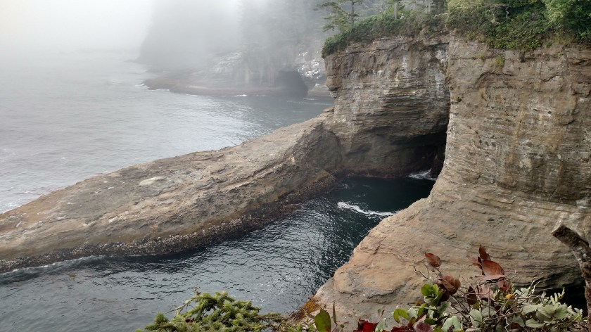
Here are some of the things I saw towards the end of that trail:
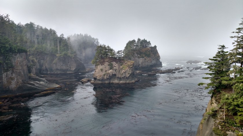
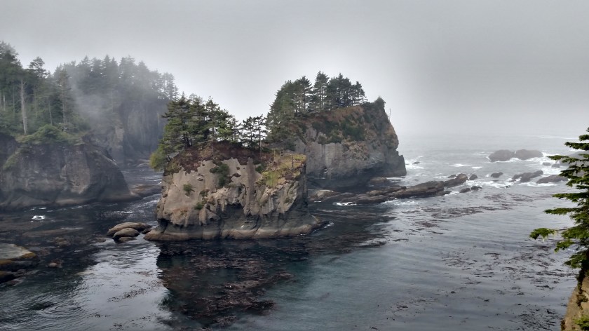


There are several things which bring people out to Cape Flattery. Here is one of them:

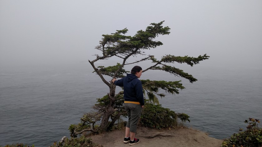
You are looking at the furthest northwest point in the contiguous United States. Here is a shot with a person in it:
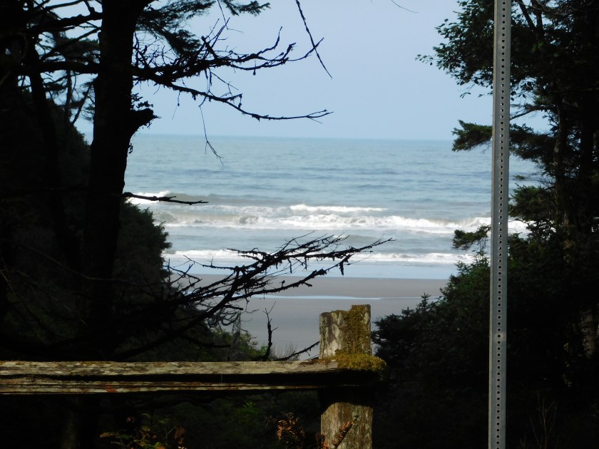
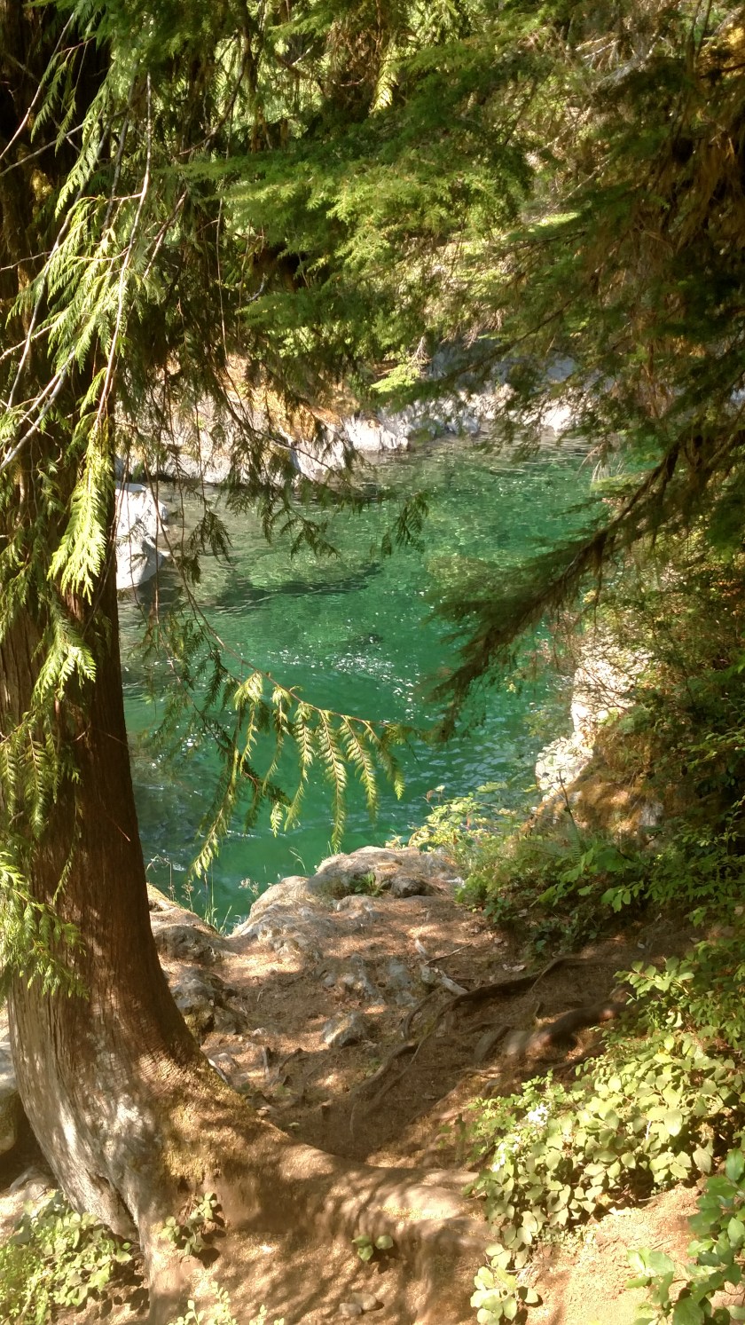
Here is a shot looking down through the tree at the ocean:

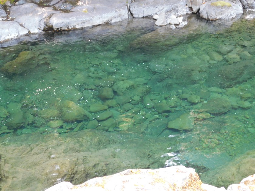
And off to the left:
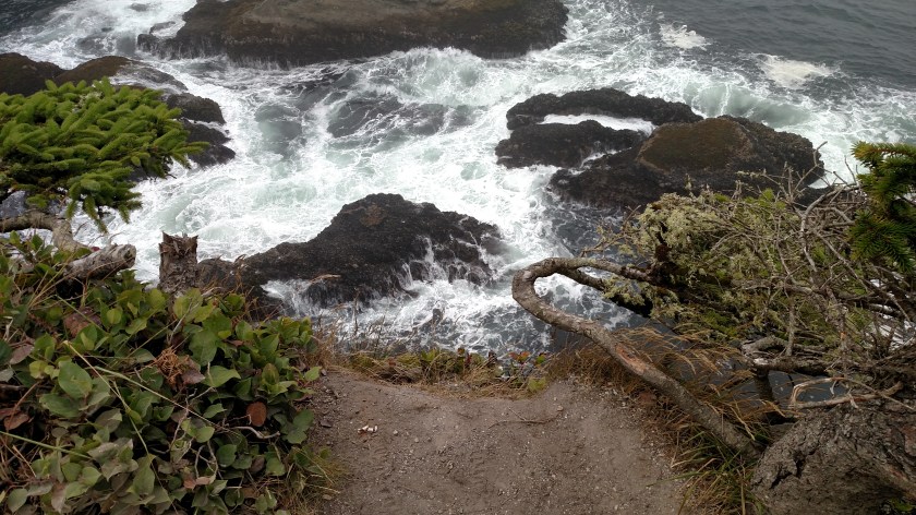
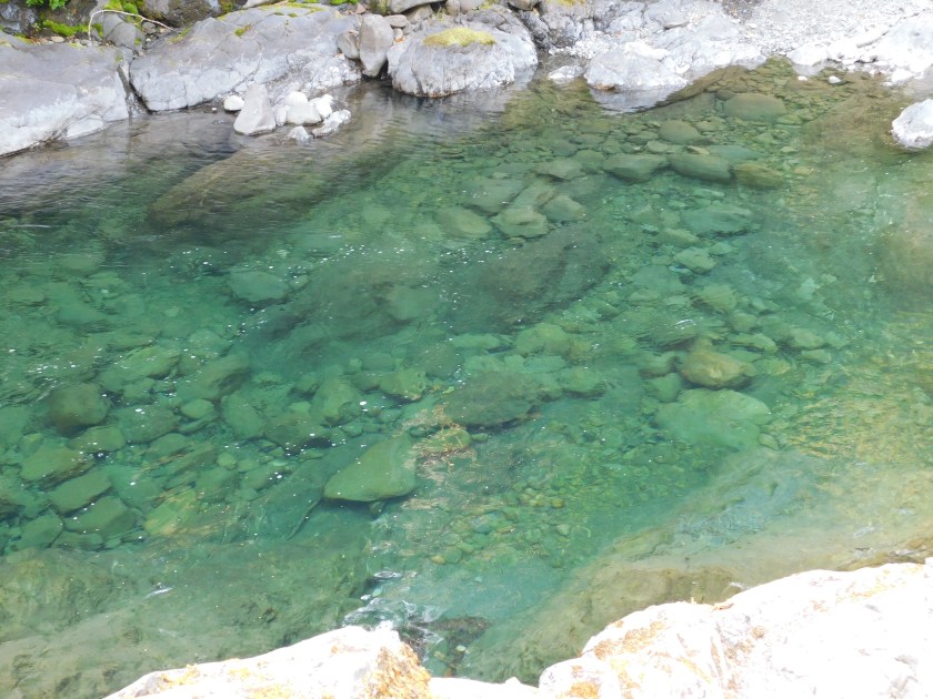
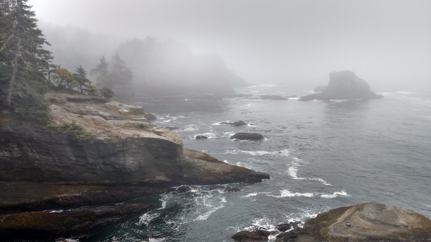
And off to the right:

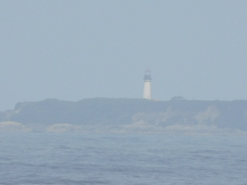
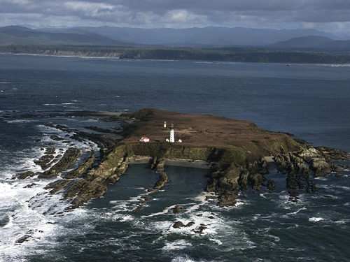
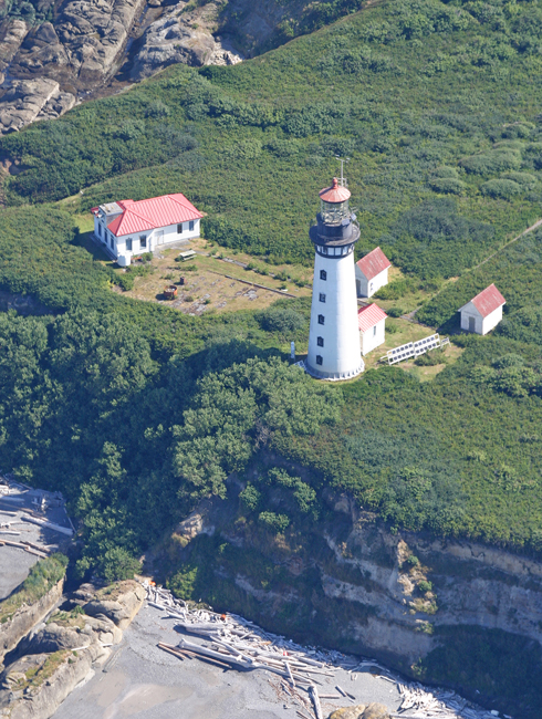
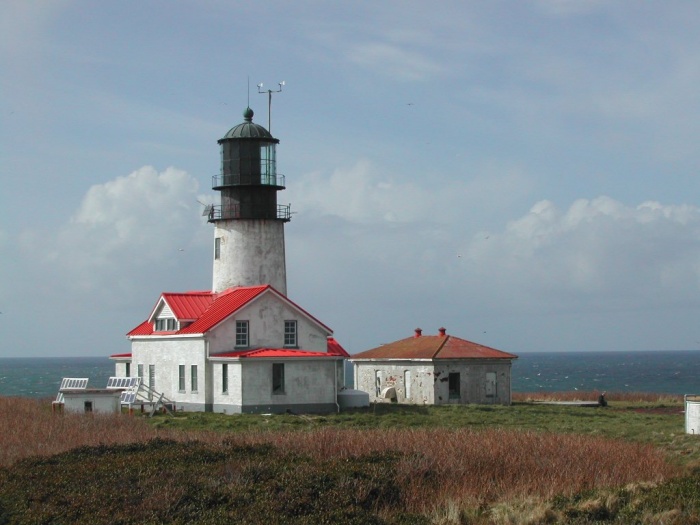
Another thing that brings people out to Cape Flattery is the incredible view of the lighthouse, which sits on Tatoosh Island, just a half mile offshore:

As you may have guessed from the other photos in this post, it was a tad foggy. While I could see and hear waves crashing up against something I couldn’t see the island and certainly couldn’t see the lighthouse. I waited about an hour and a half and if anything, the visibility got worse. It’s a shame because here is what I would have seen on a clear day:

(Photo credit: 123rf.com)

(Photo credit: MichaelNW-Lens flickr.com)
(Photo credit and copyright: welcomia photolib.noaa.gov)
The lighthouse was built in 1854 and is 65 feet tall. It is no longer in use.