After I left the Wyss Campus on Thursday, Sam suggested that I turn right instead of left at the bottom of the driveway and continue further out Red Canyon Road, the dirt road which took me to the Wyss Campus from Route 28.
First, a photo I had taken from out on Route 28 as I was getting further and further lost before our meeting (I was already past the turnoff for Red Canyon Road when I took this. In fact, Red Canyon Road, which I was supposed to be on, is visible up on a hill in the upper right hand side of the photo below).

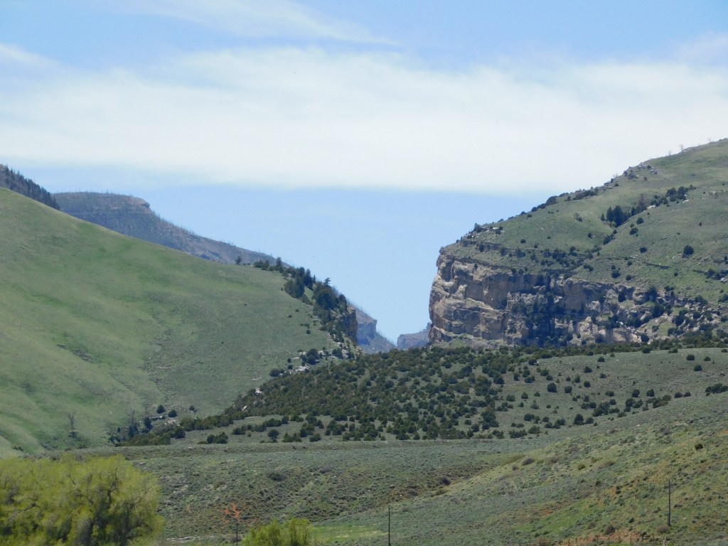
I was intrigued by the deep canyon in the distance.
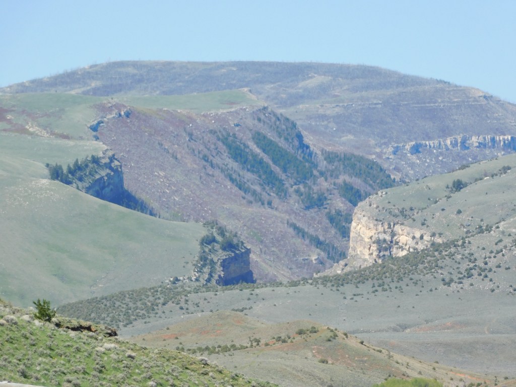
You will see other photos of it shortly. From local brochures and maps I knew it wasn’t Red Canyon, which you will also see shortly. I asked Sam about it and he said that as far as he knows it doesn’t have a name. I think I might know what it is after having gotten a little closer to it.
Anyway, when I turned right at the bottom of the driveway here are some of the things I saw:
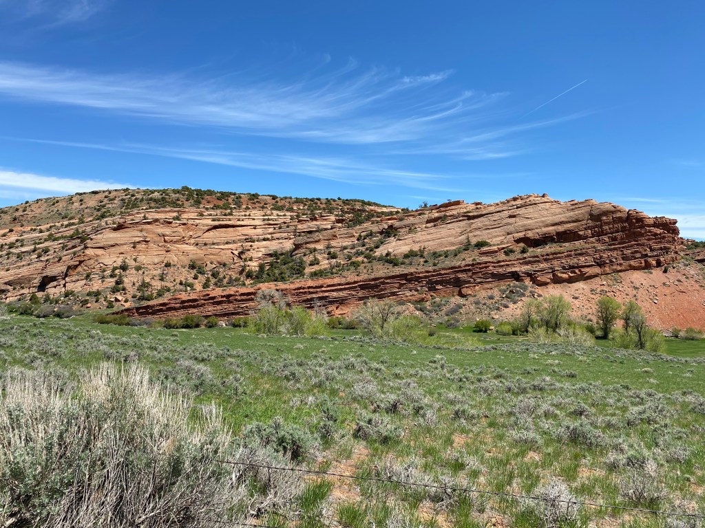

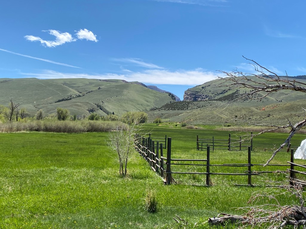
Once I got down to the little bridge you see in the photo above I had a closer view of the deep canyon I had seen from out on Route 28:
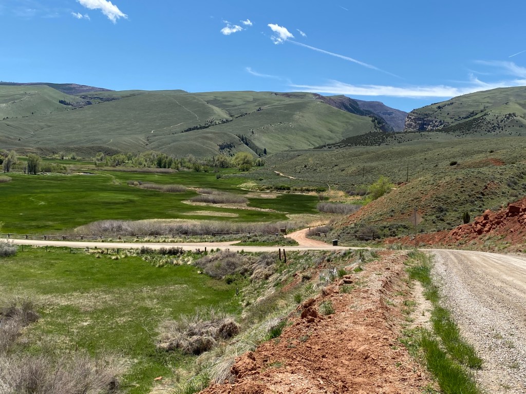
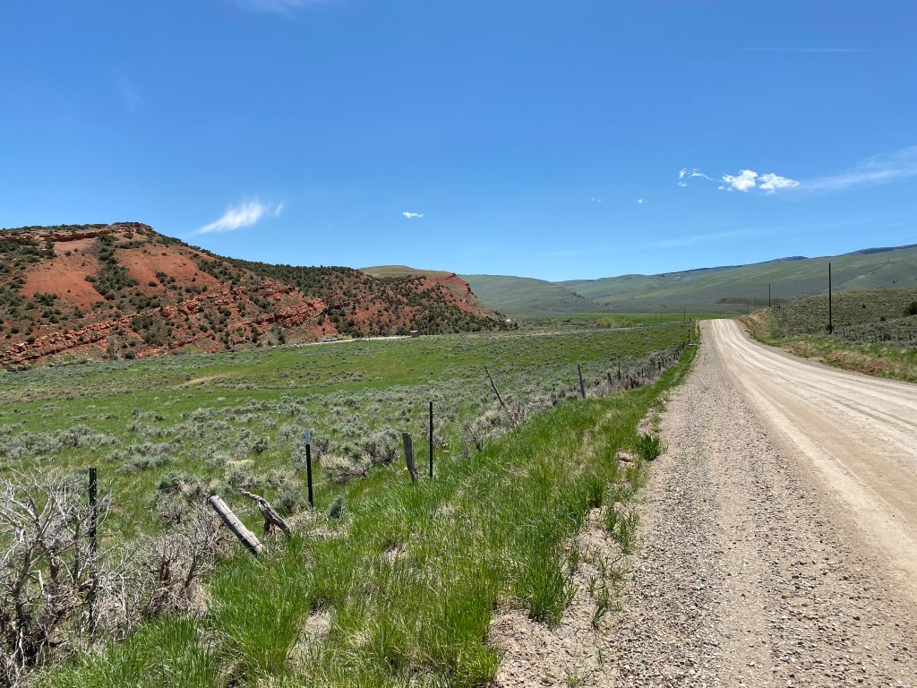
I drove further down Red Canyon Road until I reached a private residence and decided to turn around. There are two ways in to Red Canyon and Sam had told me that neither one is suitable for my Nissan Altima.


That little bridge, which I was standing on when I took the photo above, crosses the Little Popo Agie River.

My theory is that the river carved that deep canyon after flowing down from the top of the mountain over a gazillion years or so. The force of moving water is a powerful thing.
Once I finished my drive on this portion of Red Canyon Road I turned right on Route 28 to retrace my steps from earlier in the day and visit another site which Sam had told me about.
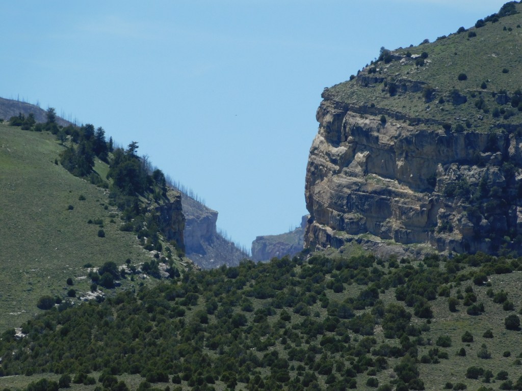
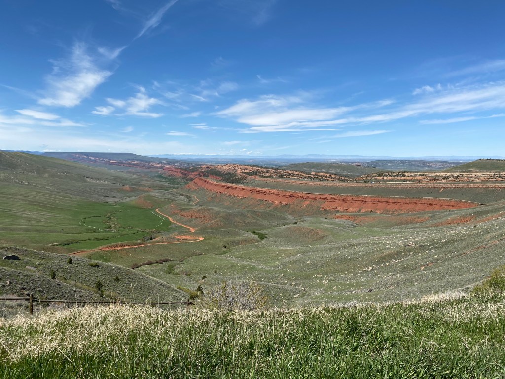
When I got further away from Lander on Route 28 there was a scenic overlook off to the right side of the highway. The elevation at that overlook is 6,975 feet and this was the view below. THIS is Red Canyon:

And to put the size into perspective, if you zoom in to the upper third of the first photo you will see a white tractor-trailer traveling on Route 28 which passes above the red rock cliff.
