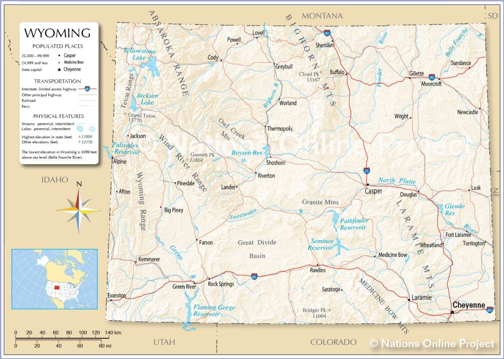
Today my nephew Sam gave me a personal tour of this off-the-grid NOLS facility, located about 12 miles south of Lander. Did you hear that JohnBoy – 12 miles not 24 miles! Your blog host overshot the access road off of Route 28 and ended up being 30 minutes late for our 1030am appointment. And where was my trusty GPS unit? Sitting on the dining room table at home, awaiting an update of new maps (a mistake which will not happen again!).
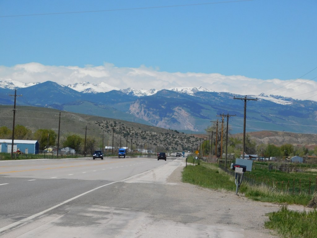
And when I said off-the-grid, I meant it. NOLS main purpose is wilderness survival training and when they teach students the skills they will need not only for themselves but to assist others in distress, why not take them out into the wilderness to do it in that environment? No sign out by the road, you need to know where you are going to get there. And what a gorgeous place it is!
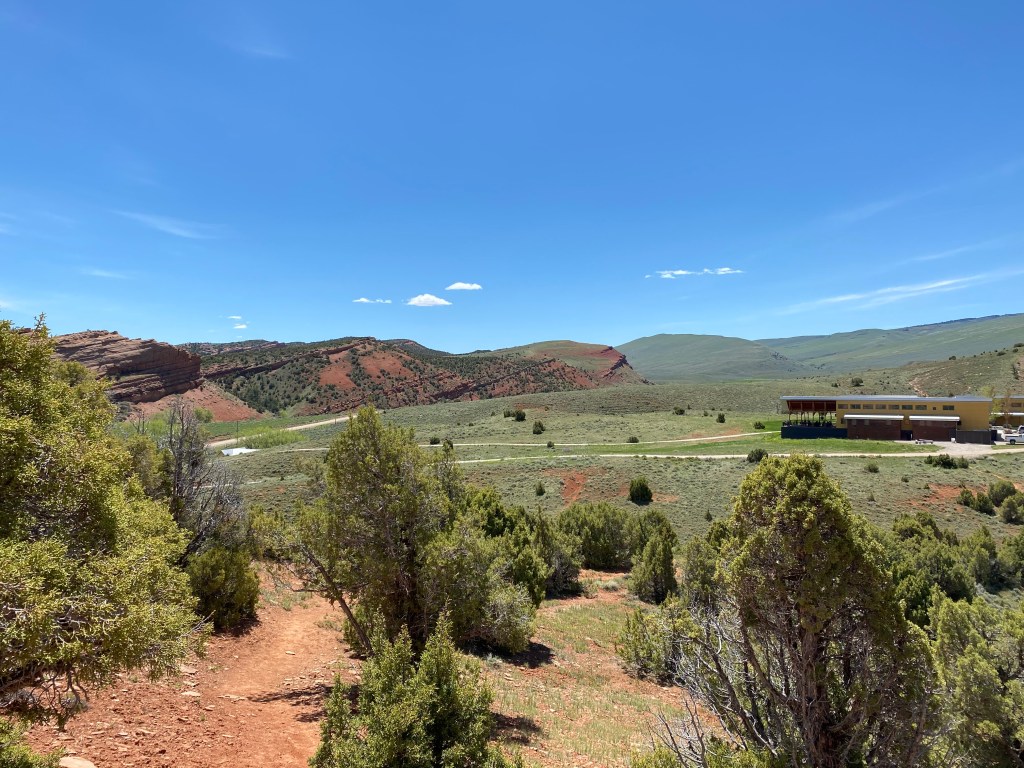
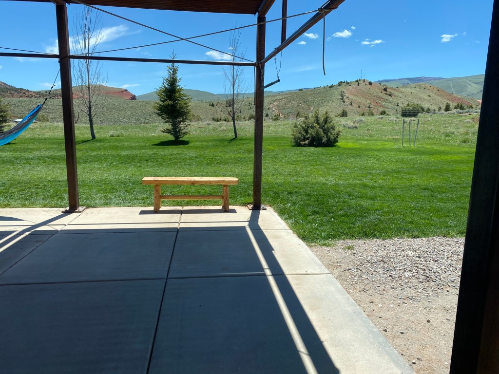
This is the view of the campus from what I call “Petroglyph Hill” which you will see in detail in the next post. Sam took me on a short hike up to where the drawings (actually carvings in to the stone in some cases) are and this was the view looking back at the campus.
The Wyss (pronounced Weese [rhymes with geese] – I had it wrong in an earlier post) campus is located on 242 acres owned by NOLS, a non-profit organization with it’s world headquarters in Lander.
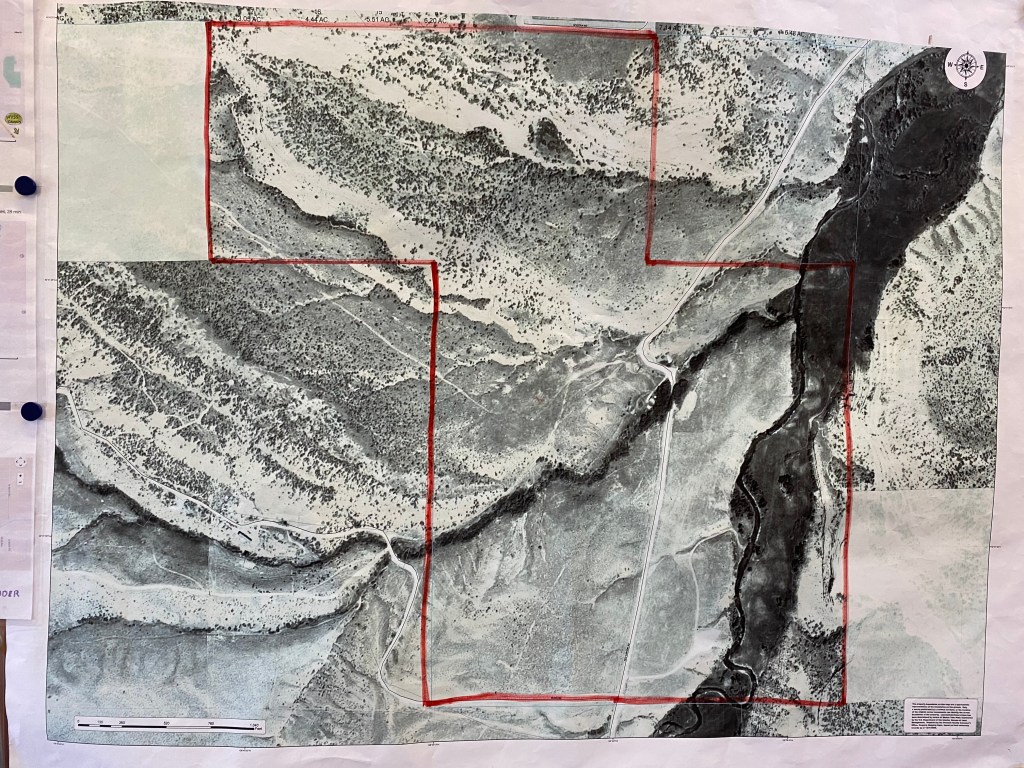
The main building is located just right of center of the photograph above, in the upper third of the lower square. Petroglyph Hill is in the extreme upper left corner of the upper rectangle.
Students, primarily from the United States since the pandemic but from other parts of the world prior to travel restrictions, come here roughly 30 at a time for courses (17 actual class days in a little under a month) in various aspects of wilderness medical training. And get this – if they traveled here with their own vehicle they must leave it in Lander. Even though there was a class in session there were only about 6 or 7 vehicles on-site (including mine). Again, wilderness means wilderness. No joyrides into town at night or on weekends – students are here to learn and must demonstrate their dedication to their education and hands-on training.
When I arrived the class was actually outside the building in 3 groups of about 10 each, learning how to safely assess a persons injury and get them up off the ground and transported to a treatment facility. Today’s lesson: the spine.
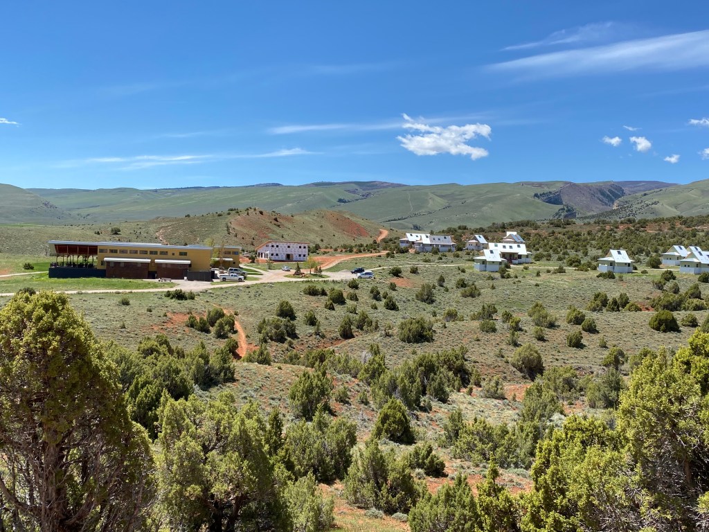
Here is another, wider view of the campus (2 shots):
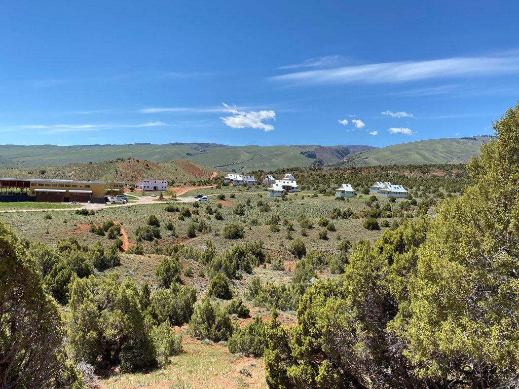
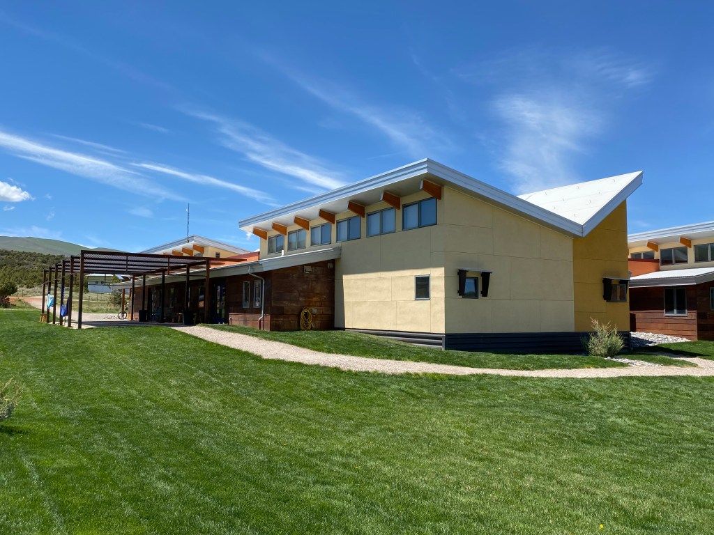
The large building on the left is where the classrooms are, as well as a cafeteria and smaller meeting rooms. There is a reception area and small administrative office. You will see photos of all of it. I believe Sam told me that the main building was built in 2012. It is LEEDS Certified Platinum (my friends Shawn and Eric, both architects, will understand the significance of that) and is incredibly well designed and constructed. Very energy efficient, using solar panels and a sloped roof to harvest rainwater (though with the small amount of rain this area gets in a year, I think he said 13 inches, they’ve had to supplement that with a well).
The white building in the center is under construction and will house additional washer/dryer facilities, a large meeting room with a big TV for Zoom meetings and such, a gym, and a lounge area for students to relax and socialize. Again, they are here for the duration of the course so NOLS decided to build a complex where they can relax a bit after a hard day of training.
The small buildings on the right are cabins where the students live. Their course fee includes room and board so they eat, sleep and learn here. We didn’t go in the older, larger cabins bit we did go in the smaller ones currently being built. They were designed for four people, a small open area and two bedrooms, each with two single beds on either side. Very sparse. Current pandemic distancing rules means that for a while there may only be 2 students per cabin, not 4.
NOLS attendance took a HUGE hit when the pandemic struck – worldwide. Since then, interest in NOLS courses has skyrocketed so they are slowly getting back to normal operations, at least here in the United States. As mentioned in an earlier post, there are NOLS facilities (not all as elaborate as this one) in several parts of the US including Alaska, Canada, Mexico, South America, Australia and New Zealand.
So lets see some photos, JohnBoy!
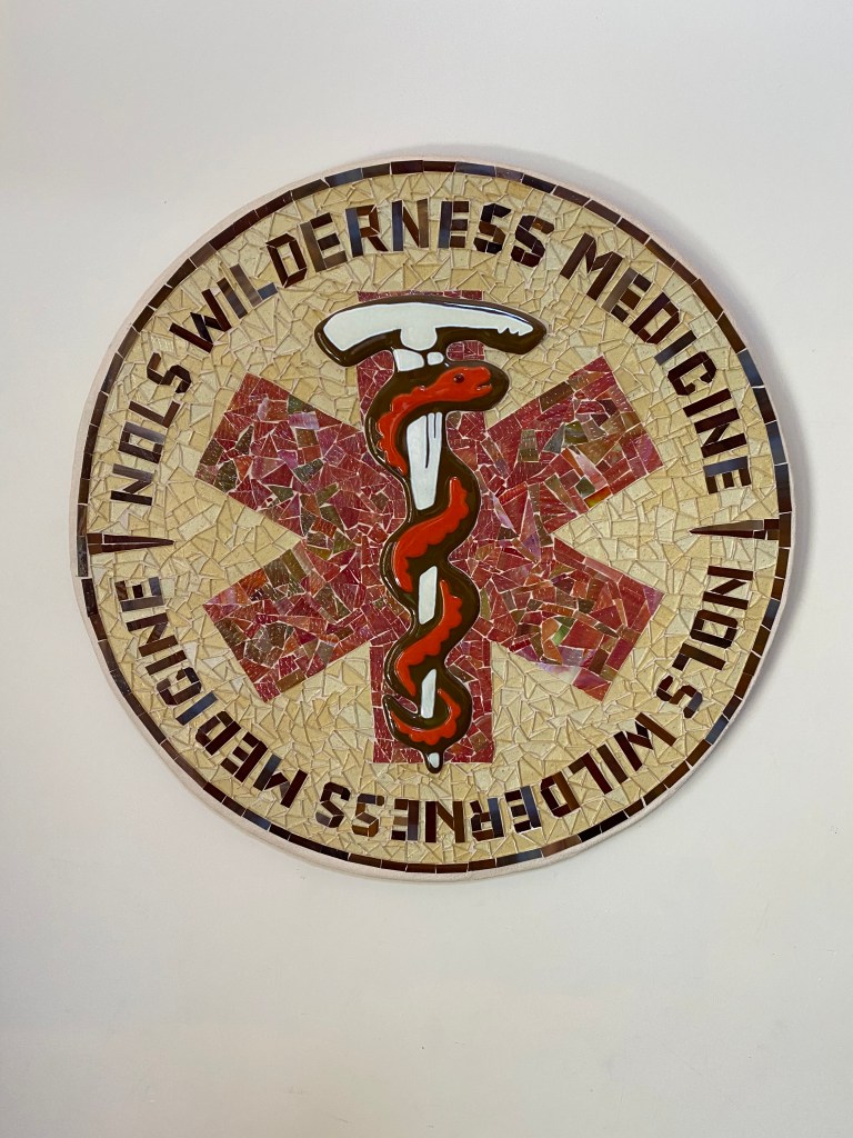
A gorgeous tile piece of art of the Wyss logo, made by a former instructor, just inside the entry door.
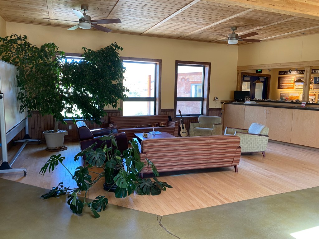
The reception/common area. Even the fabric on the furniture is environmentally friendly!
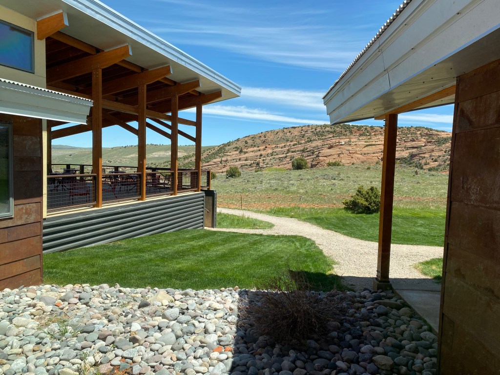
The view out the window between the cafeteria/outdoor dining area on the left and the classrooms on the right.
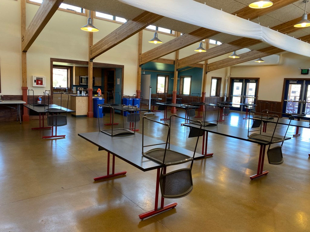
The indoor portion of the cafeteria (and the seats and backs of the chairs are made of recycled material). There is a large covered outdoor deck on the right with lots of tables and seating.

The “Mission Wall” with information about what NOLS does.

And a little NOLS humor about social distancing. Six feet is the length of a mountain lion!


The classroom where most of the teaching takes place. The configuration is to promote social distancing. Class size is about 30 students but used to be slightly higher. The students were in another room (open space) reviewing their earlier outdoor training when I took these photos.
The outdoor area previously mentioned. I didn’t take photos of the students out of respect for their privacy.
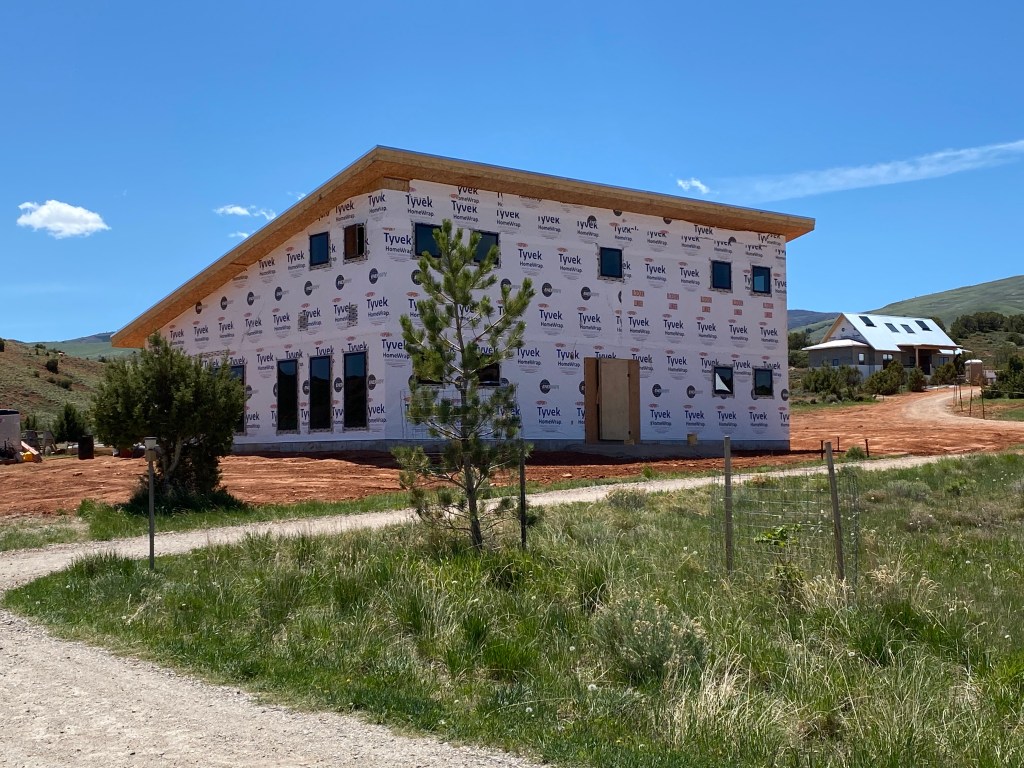
A closer look at the new student building under construction.

And a closer look at the new cabins being constructed.
An outside look at the classroom side of the main building.

An outside look at the outdoor dining and cafeteria side of the main building.
Being on a private “All Access” tour of the facility meant I even got to see the behind the scenes (i.e. in the basement) technical workings of this elaborate facility. My nephew Sam is in facilities management so he has to know about and maintain all systems: heat pumps, water filtration and circulation – for heating and cooling, both of the water itself and the building, electrical equipment including solar panels, backup systems, etc – and even including the elaborate composting toilet system which he explained in detail (but I’ll spare you the photos!)