This is by far the closest State Park to Lander and my brother and sister-in-law have posted some great photos of it on their Facebook pages. I took a quick drive up on Friday to see how much I could see from the road. My nephew, Sam, has already given me hiking tips for this Park (and others) which I will do some of in the coming days. I am not much of a hiker but will try to get to some areas which don’t require a long or strenuous walk.
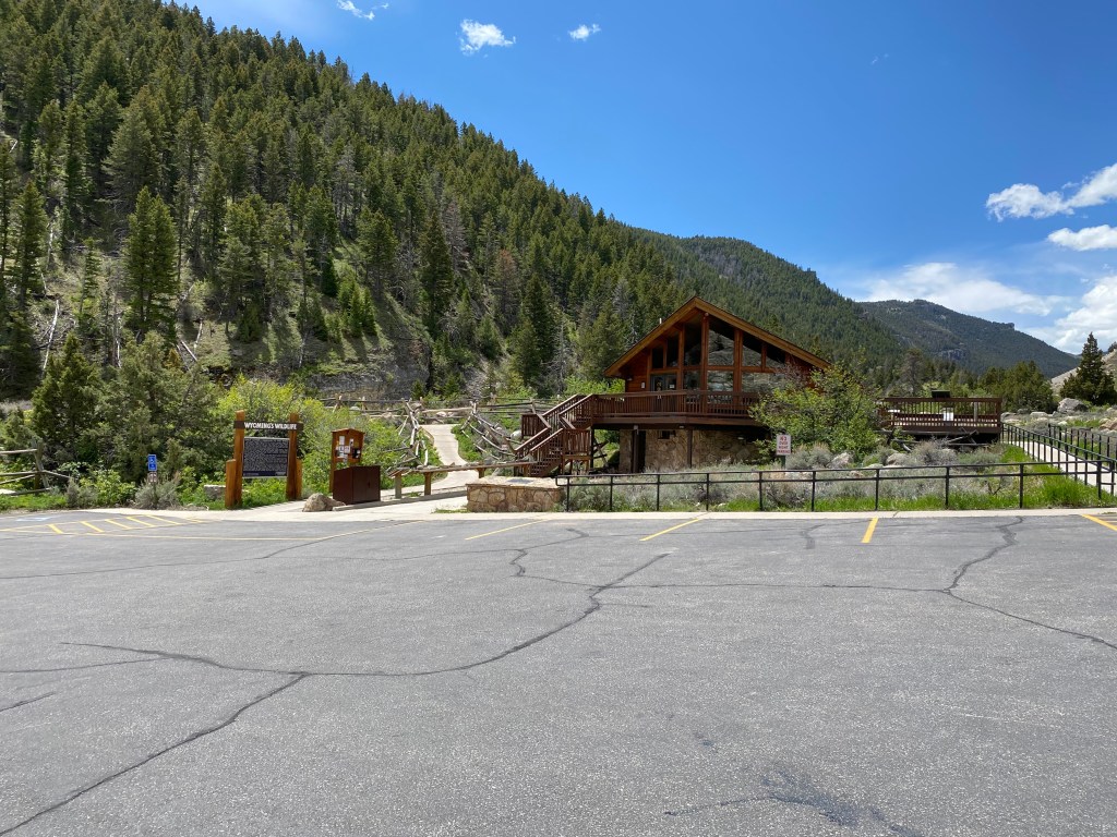
The entrance to the Park is only 10 miles from where I am living! I wasn’t 200 yards in to the Park when I had my first photo op.


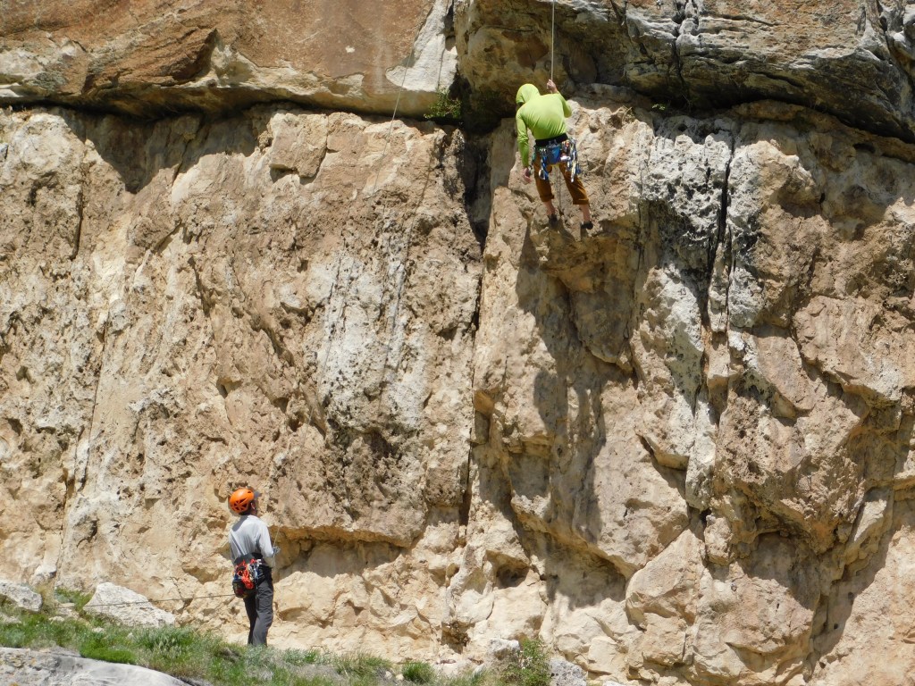
On the same side as I was parked, to the right of my car, there was a small group of mountain climbers (can you find them in the first photo?).

There they are….

And across the road was a small picnic area
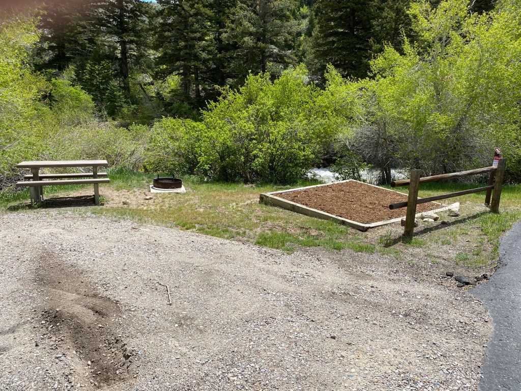
And while I was taking the photo above I could hear water running and lo and behold, the Popo Agie River was running right along side the picnic area!
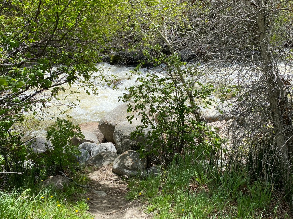
This is the same river I saw Thursday up near the NOLS Wyss campus and you will learning something very interesting about it later in this post.
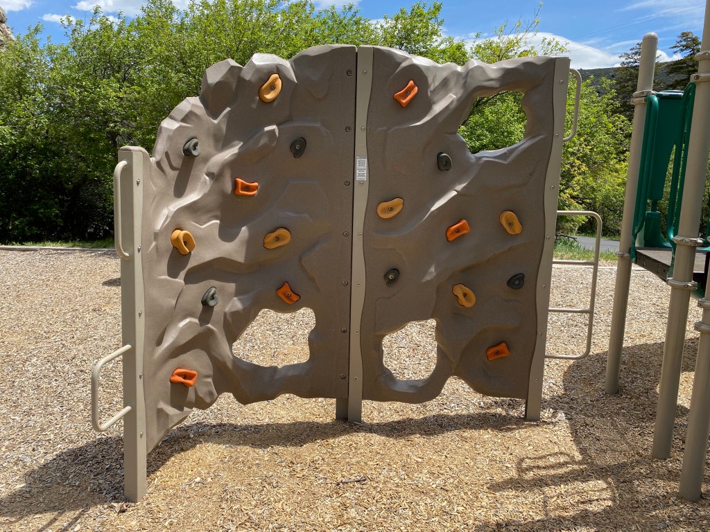
Just a short distance from the picnic area (and there were others nearby, as well as a small camping area) was a children’s playground.
I kind of suspected that the real rock climbers had something to do with NOLS and sure enough, before I left this initial parking area I noticed that the two white trucks at the far end of the parking area in the first photo above were, in fact, NOLS vehicles. I don’t know if it was just NOLS staff enjoying a “Friday afternoon of Memorial Day weekend” break for some personal time or NOLS training. You will see more photos later in this post and I now suspect it was the latter.
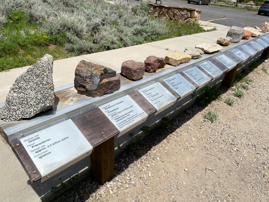
I drove deeper into the Park and stopped at the Visitor Center. It wasn’t open but there was still things to see and learn.
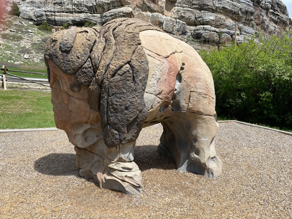
There was an outdoor display of various rocks in the area (certainly of interest to mountain climbers who rely on the strength of the rock to support them):
To the left of the Visitor Center was the Popo Agie River. A sign I saw Thursday which stated that it is pronounced “po-po-zshuw,” which didn’t help me one iota. The Sinks Canyon brochure says it is pronounced “Po PO-shuh” (two words, my emphasis added based on another reference) which makes a little more sense and which I would NEVER have guessed. It is a Crow Indian term which has a different meaning every time I read about it.
Here is the river flowing down the mountain behind the Visitor Center:

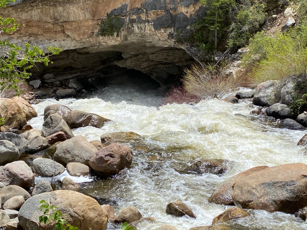
Which then made a right turn and disappeared into a cave!!
I’m going to keep you in suspense for a little while but you will see the river again later in this post and learn something unique about this Park.
I started driving further up the mountain into the Park and was surprised to see this:

What?!? I’m leaving already? I just got here, and I haven’t even driven 2 miles!….
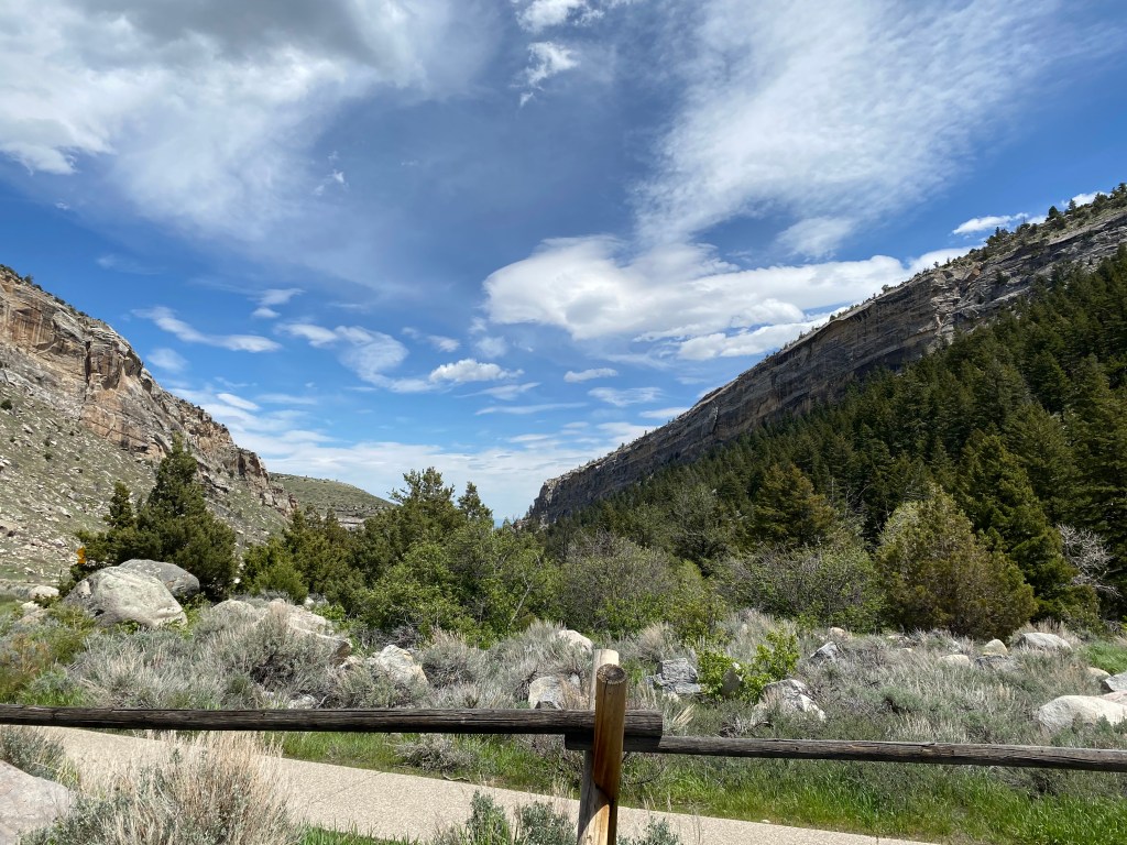
Turns out Sinks Canyon State Park (proper) isn’t all that big, but I was now entering Shoshone National Forest and there was still plenty of things to see. I continued driving and was also surprised to see this:
Waaaiiitttt a minute…. Did I make a wrong turn somewhere or is the altitude playing games with my mind? Well, while Missouri has some beautiful mountains, I guess they may not have the rock and soil composition variety that these mountains have.
From this position there was an interesting rock formation way up high to the left of the highway.
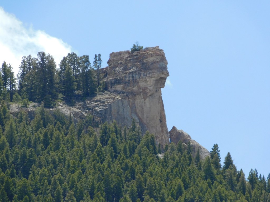
I don’t know about you but to me this looks like the profile of a person looking off to the right.
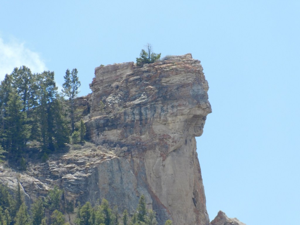
I have seen formations like this before, including the Delaware Water Gap near where I used to live in Pennsylvania. On the New Jersey side of the Delaware River, which separates NJ and PA, is Indian Head mountain, much larger than this formation but the same premise.
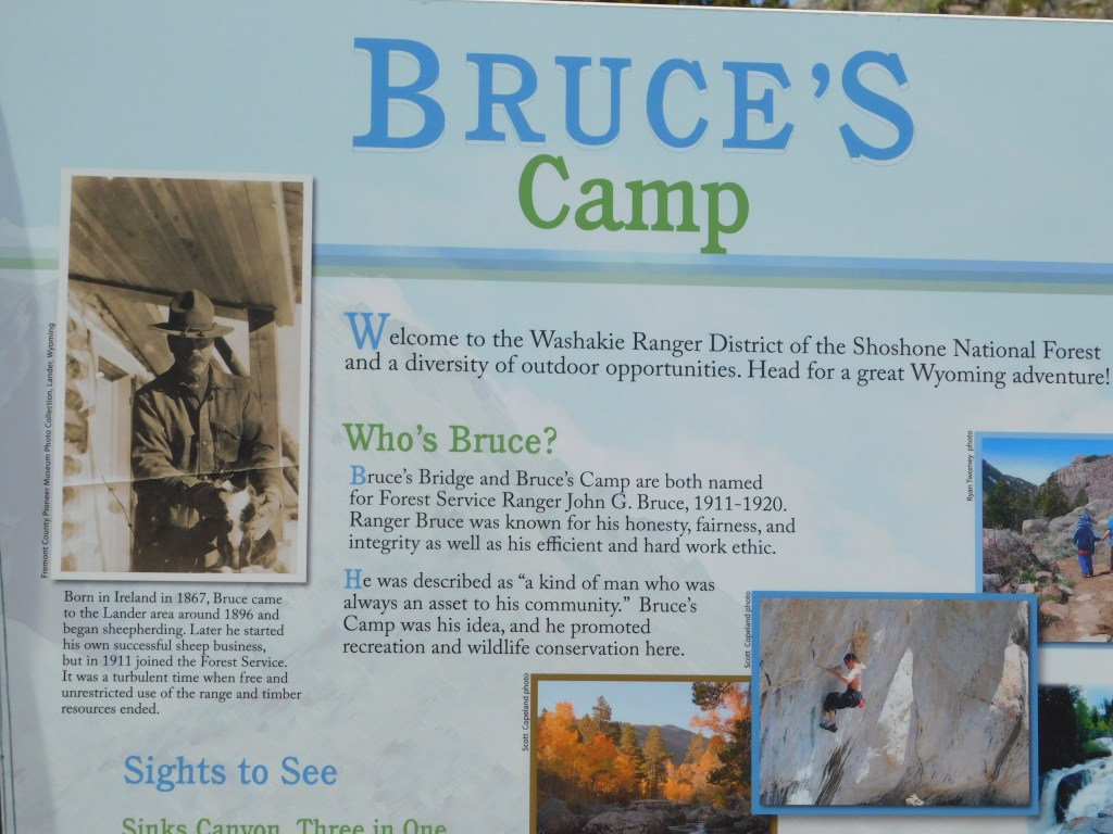
I continued on up the road and while I was hoping to drive much further today, the road was closed at a place called Bruce’s Camping Area. Sam thought that I might not get much further than this but hopefully before my obligations in Lander conclude in late June I will be able to drive further into the Shoshone National Forest because there is MUCH more to see.

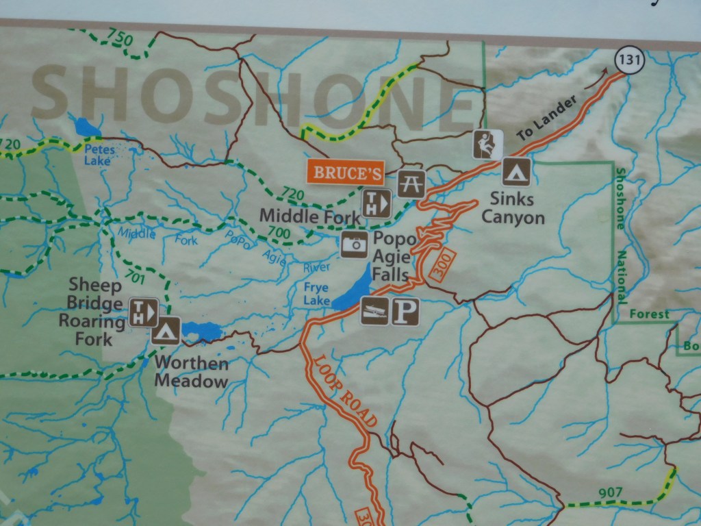
I couldn’t continue as far as the switchbacks, shown on the map below, or the points beyond.
I was currently at 7,150 feet elevation but had to turn around and start going back down the road to Lander.


Not to worry, Shawn. I STOPPED in the road to take those two photos. (She gets upset with me, as she should, when I take pictures out the windshield while driving).
But there was one more stop to make…..
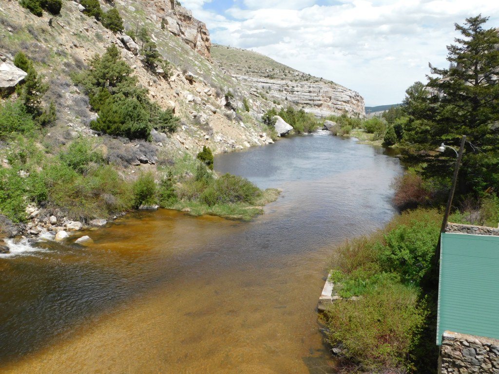
To the left of the road, where I took the following photos, was a little ranger station with an interesting audience participation site behind it. I didn’t take pictures of the building because I was more interested in what was behind it. This is also where I can tell you more about the Popo Agie River, which went underground into a cave further up the mountain. It now emerges to continue it’s downhill run towards Lander. The spot where it went underground is called the “Sinks,” hence the name of the State Park which I was now back in. This spot, where it emerges, is called the “Rise.” In between, the water runs underground about a quarter mile and crosses under the road, a process which takes two hours! Where is scientists aren’t sure, and more water comes out at the Rise than goes in at the Sinks. One of nature’s little mysteries…..

This is not a very big area where it come out of the hill but the river soon widens considerably.
This is where the fun begins. Sam told me to be sure to brings quarters so I could feed the fish. Well, right after the river comes out of the mountain there are lots of trout which kids (and adults) love to feed. There is a vending machine which dispenses food (for quarters) to throw down to the fish.
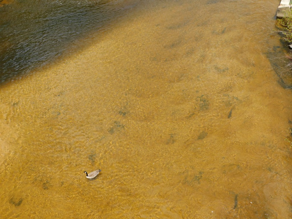
There was one lone Canadian goose down there but if you look closely you will see some of the dark brown trout which, if you have ever seen a Canadian goose up close, are HUGE because they are about the same size.
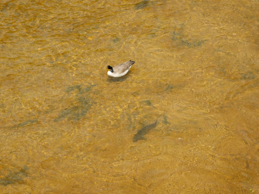
There is a trout just below and to the right of the goose. They were scattered around the river but the majority had congregated just below the wooden platform which people walk out on because small kids don’t always have a long throwing range and the food invariably goes straight down. The trout are aware of that and know where to find the yummies.

There was also signage here which explained that in 1919, the Sinks Canyon Hydro Electric Company build a plant here to harness the power of the river to generate power for nearby Lander. That plant continued in operation until 1955 when it was closed. Remnants are still on-site, though I wouldn’t have know if I hadn’t read about it.
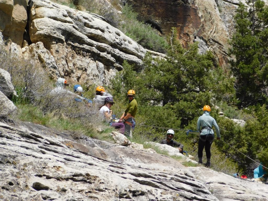
I continued on down the road to the Park entrance to see how the mountain climbers were making out. The original NOLS group was right where they were when I saw them initially but there was another pair of climbers to the left of where they were:
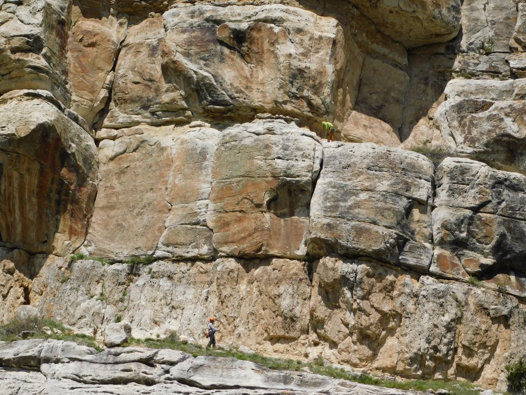
If you look closely at the photo above you will see one person just above the square shadow to the right of center. His or her climbing buddy is below the shadow, to the left.
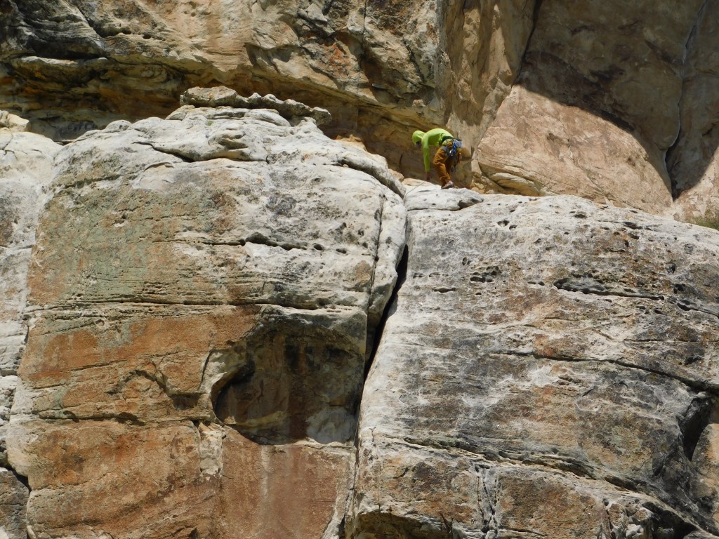


I was hoping some of the NOLS climbers might have been going up the mountainside but there were two that descended from where they were down to the level of the road:
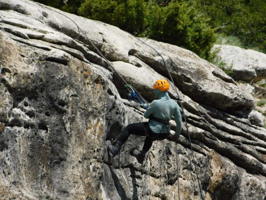
After the person in the blue shirt made it all the way down another climber started to descend:

Just an incredible visit to a place I plan to return to, maybe even later today! From the highest point I was at today back to the house was only 13.7 miles.
And after I passed through the Park exit this was the view looking off to the left of the road:
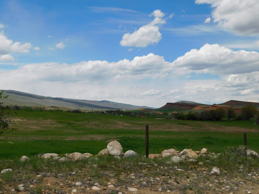

It seems like the natural beauty out here just never ends.
