Children, stop your bickering

(No picture)

When I resumed my scenic drive north of Salida today the first town I came to after proceeding past the turnoff to Independence Pass was Leadville (Lead is pronounced like lead in a pencil).  In addition to being a mining town, Leadville has a feature which most towns don’t, but others are trying to steal the spotlight.

Leadville is the highest incorporated city in the United States (10,152 feet).

There is a town south of Breckenridge, Colorado, Alma, which I went through later in the day which is the highest incorporated town in the United States (10,578 feet).

When I was in Taos, New Mexico about 2 weeks ago I posted that Taos Ski Valley resort is in a village which is the highest municipality in the United States (the highest dwelling there is at 10,350 feet).

There are probably other “highest” claims which would make these comparisons even more confusing but these are the three I have encountered so far and I wanted to point out the distinction between them.


10th Mountain Division

Pam, who was also staying at the Airbnb in Salida, told me about the significance of this memorial, which is located at the entrance to the Ski Cooper resort a few miles north of Leadville, Colorado.  It will require more research that I have time to do now so I will provide the details in a future post.  It is a fascinating story.  Camp Hale was where they trained US troops during World War II for high altitude combat in mountainous and snowy terrain. That training paid off in a big way in northern Italy during the war.

IMG_20171005_095729446_HDR

IMG_20171005_101655958_HDR

IMG_20171005_102403935

Various places north of Salida

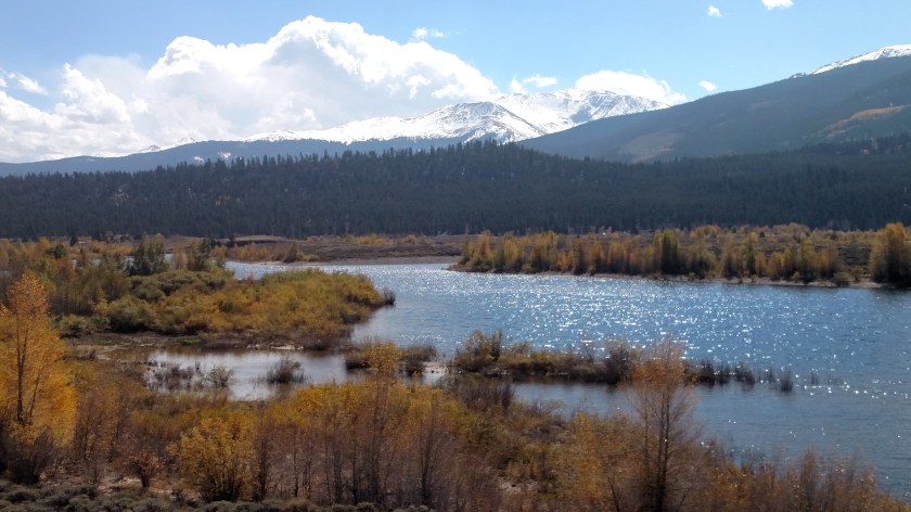
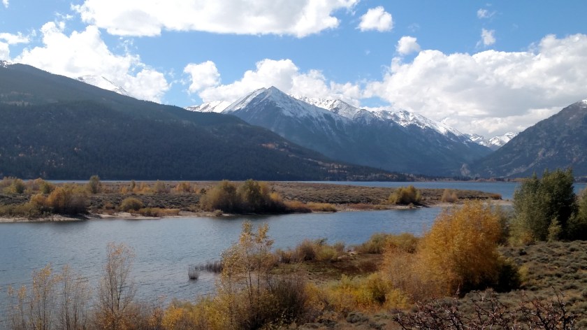
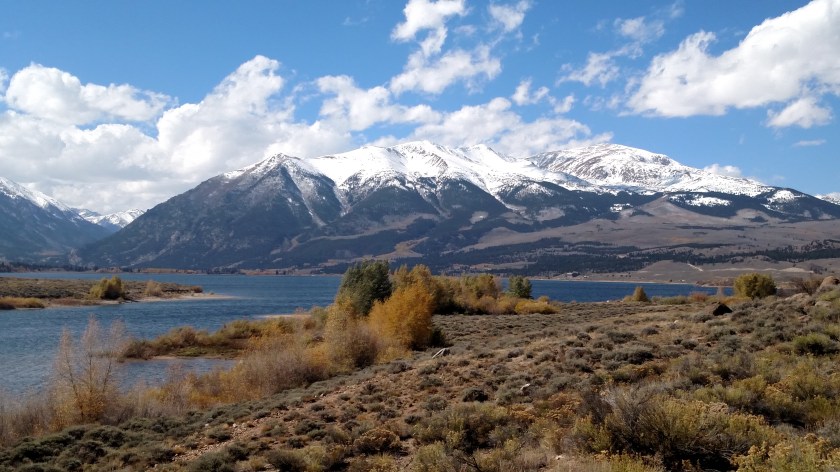
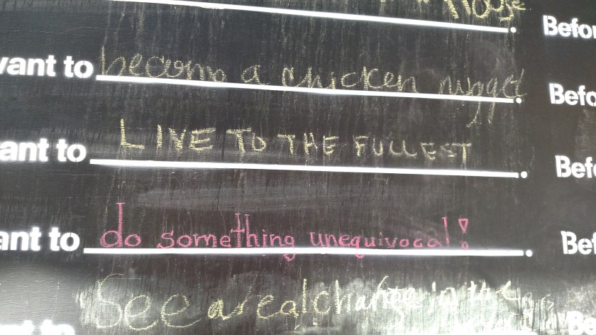
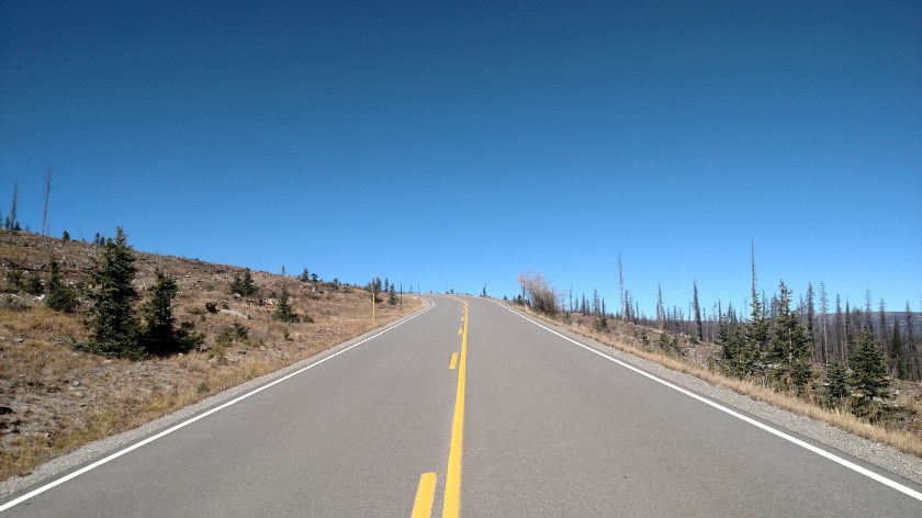
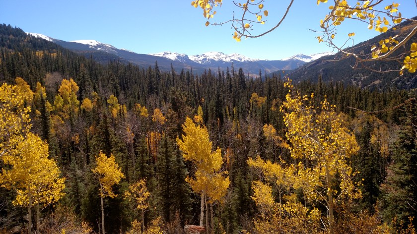
Thursday was another travel day.  My destination was Colorado Springs which is east of Salida, but I had some unfinished business to attend to.  I drove north, past all the mountains I took pictures of yesterday and resumed the clockwise scenic loop I started the day before.  Once I got past Leadville, and the location of the Camp Hale memorial  at the entrance to Ski Cooper resort, I continued north on Route 24 towards Vail and Interstate 70.  Eventually my loop would take me south of Breckenridge where I would resume travel on Route 24 east to Colorado Springs.

Here are some of the things I saw along the ride:

IMG_20171005_100801393

IMG_20171005_103654058

Shortly before getting to the dreaded interstate I came across the little town of Red Cliff.

IMG_20171005_110534629_HDR

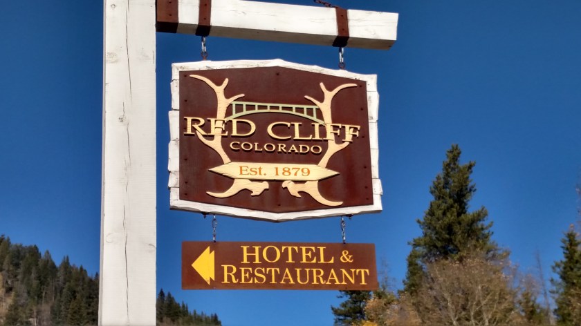
I didn’t understand the significance of the bridge on the sign until I turned left and took the access road down in to the town.  When I turned right at the bottom of the hill I understood.

IMG_20171005_110121723_HDR

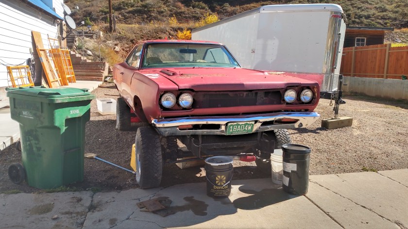
That is the Red Cliff Arch Bridge which carries Route 24 over the Eagle River (and over the Water Street bridge which I was about to traverse to get to the town of Red Cliff which is beyond it).  I often call little towns “cute”.  Sorry, Red Cliff, but I honestly can’t say I can call you cute.  It is an old town built on rugged terrain with bad streets and not many attractive structures.  Functional, perhaps, but not exactly postcard material.  The only thing I saw which I was inspired to take a picture of was this tricked out Dodge, which has evidently been converted to a high-profile 4-wheeler (note the license plate).

IMG_20171005_105636958_HDR

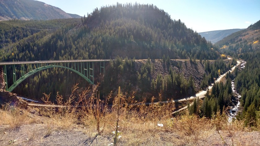
Here is a view of the bridges from above, after I went back up to Route 24 and crossed the high bridge to continue north.  On the right is the road leading down to Red Cliff, which is to the left of the bridge from this vantage point.

IMG_20171005_110930360_HDR

While researching information online I found this picture of the high bridge, taken in the winter:

RedCliffBridge-Winter

(Photo credit: bridgehunter.com)

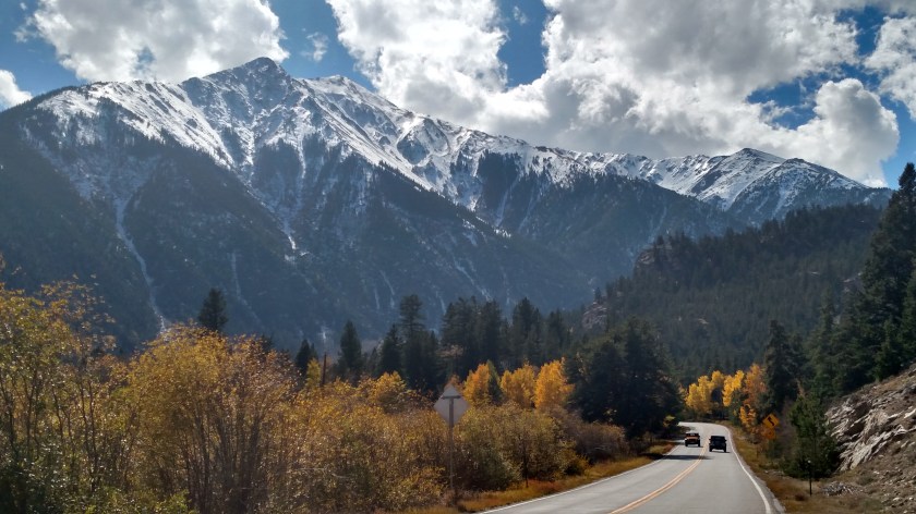
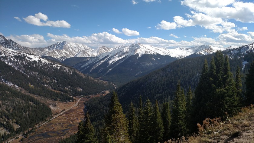
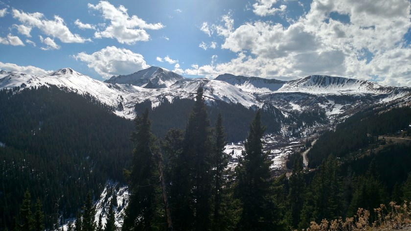
Route 24 then climbed up over Tennessee Pass and when I stopped to take some pictures of the view I noticed this modern “ghost town” of Gilman down in the valley below.  You’ll see more of Gilman when I post close-ups taken with the digital camera.  I think tomorrow I’ll do a bunch of “close-ups” posts since I am getting a little behind on those.

Gilman was a mining town which was abandoned in 1984 due to the underperformance of the adjacent mine and multiple environmental issues.  It is private land and no longer accessible to the public.

IMG_20171005_112108248

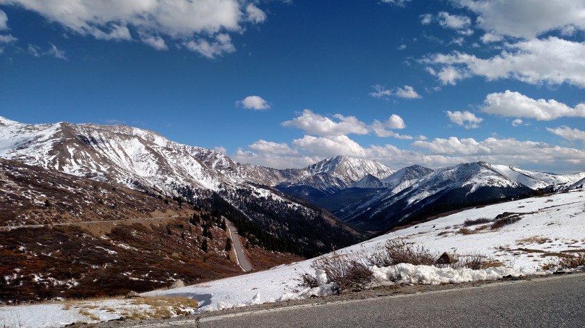
I finally reached I-70 and took it east for about 30 miles, passing Vail and going over Vail Pass.  For those of you hoping to see pictures of Aspen and Vail, sorry to disappoint you.  I visited those towns years ago when I drove to Colorado with my youngest brother and have no desire to revisit them.

When I got to exit 203 I got off the interstate (they had it down to one lane several places and I was very happy I was here mid-day and not during rush hour or in a snow storm).  And speaking of snow, I had heard that this area had received over a foot of snow on Monday.  There was little evidence of that now.  There was some snow in shaded areas but the road itself was clear and dry.

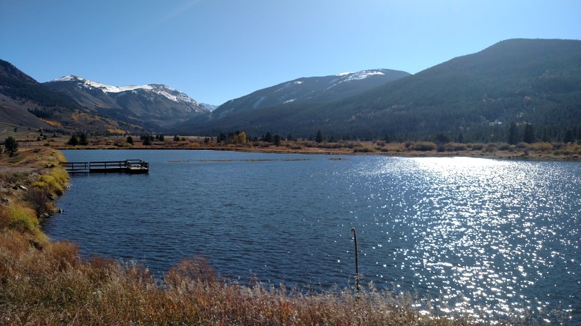
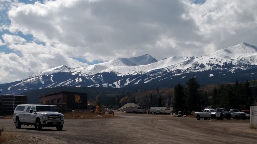
When I got off the interstate I started heading south.  I went through Breckenridge, where I had stayed briefly about a month ago, and took Route 9 south.  Here is a picture of Breckenridge ski area, west of town, with new snow on the slopes.  My brother worked at a ski shop here for one season after graduating from college.

IMG_20171005_124906205

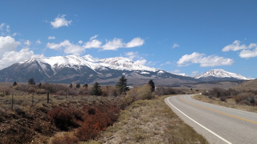
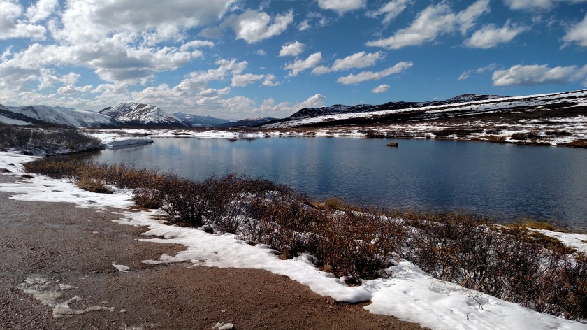
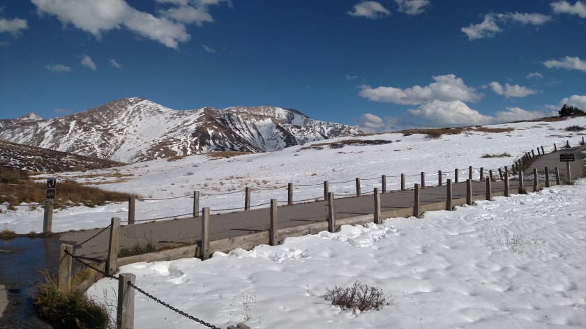
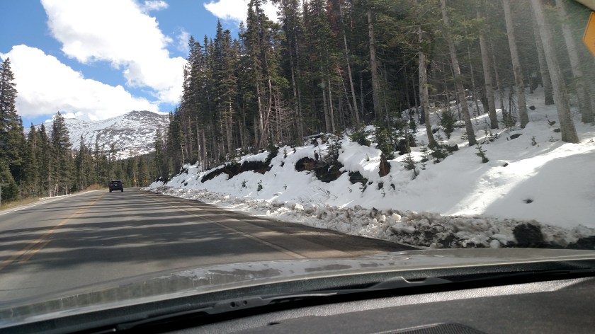
When I got south of town I started to climb Hoosier Pass.  Here I did see more snow which had accumulated next to the road.  I think this was at around 10,500 feet elevation.

IMG_20171005_131336255

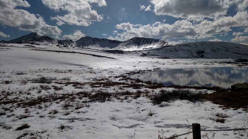
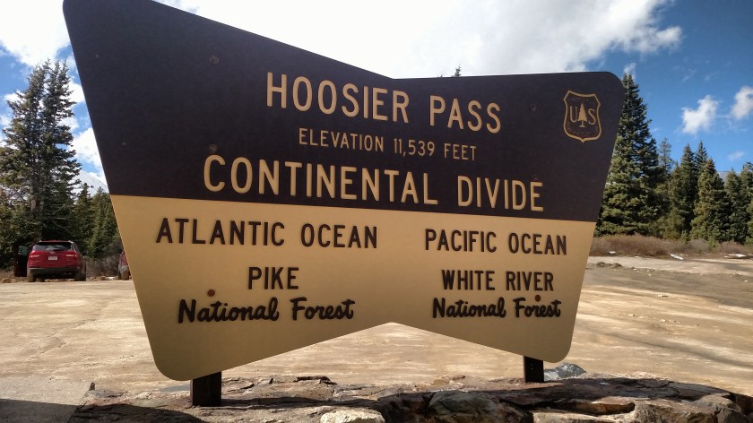
I crossed the Continental Divide yet again at Hoosier Pass…

IMG_20171005_131742436

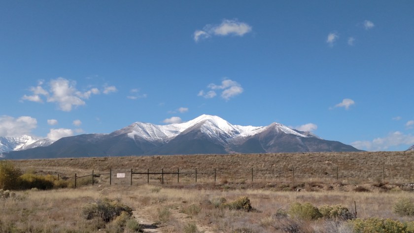
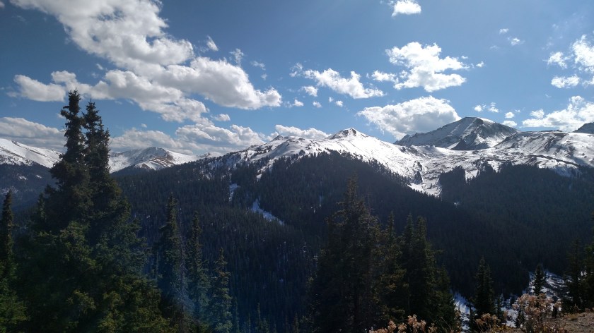
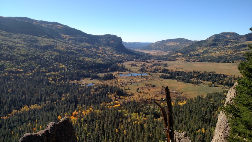
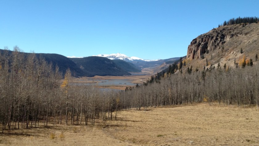
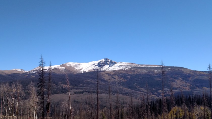
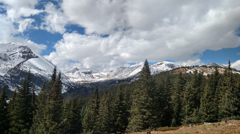
… and had an impressive view of some 14er’s (mountains taller than 14,000 feet) off to my right.

IMG_20171005_131946201_HDR

IMG_20171005_132508866_HDR

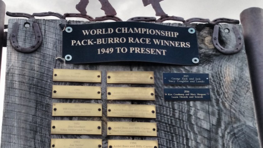
When I got to the town of Alma I saw a few businesses with interesting names.  I dedicate this one to my friends Eric and Shawn…

IMG_20171005_133438568_HDR

… not because it is a liquor store but because they are both from Indiana.  I’m sure this will be the very first time they’ve heard the phrase “Hoosier Daddy” (yeah, right).

Note that the owners have highlighted the “420” part of Alma’s zip code (marijuana is legal in Colorado and 420 is a cultural reference to smoking it).

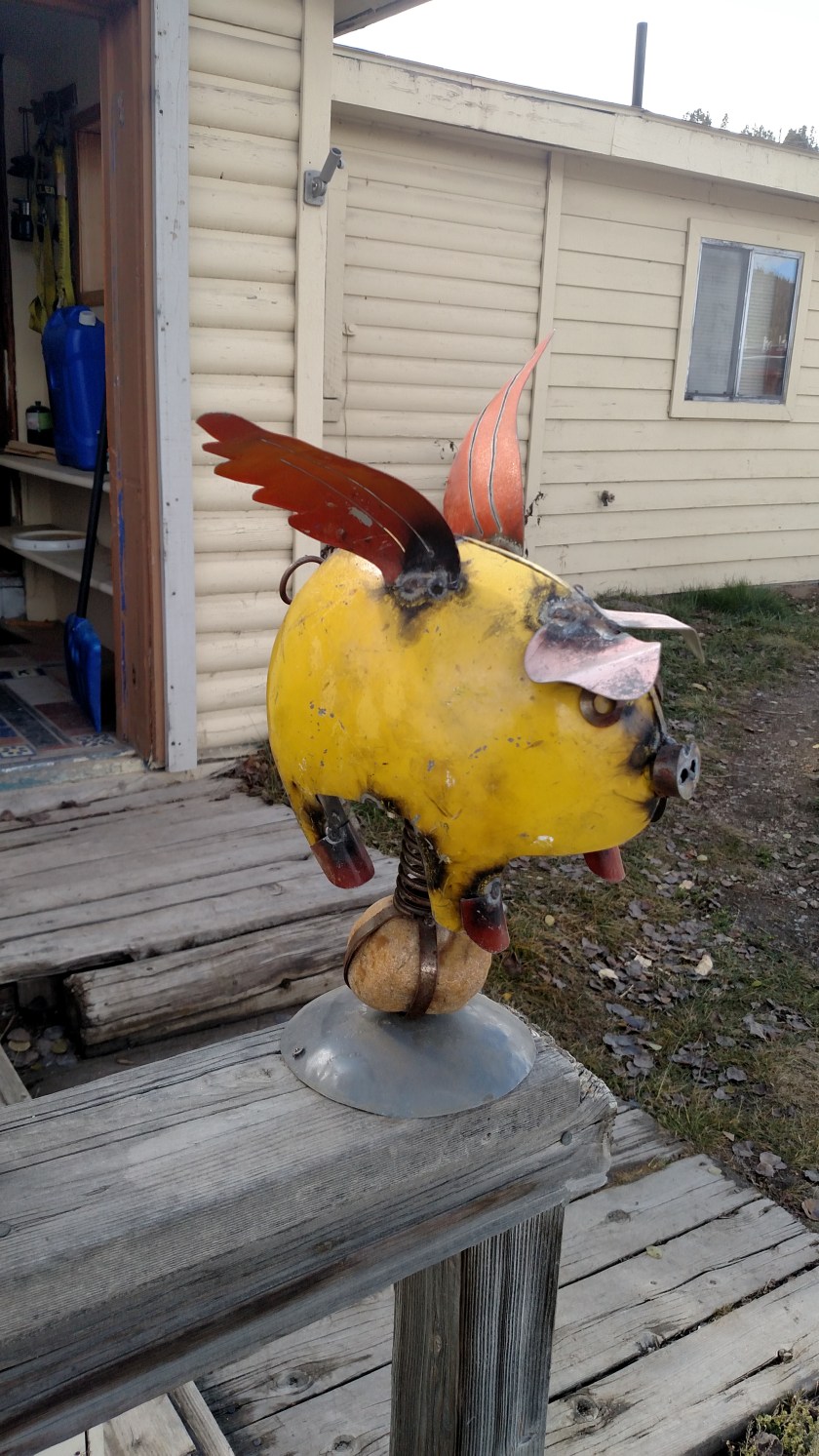
This little guy was perched on the railing in front of a house.  It was mounted on a spring and swayed back and forth in the wind.  I thought it looked pretty cool.

IMG_20171005_133911864


Fairplay, Colorado

Fairplay is a little town located about 20 minutes south of Breckenridge.  I had actually driven through it a few weeks ago on my way down to Colorado Springs the day that my nephew was moving in to his apartment there before starting his senior year at college. At that time, I didn’t realize the significance of Fairplay and the surrounding area.  I now do.  I’ll cut right to the chase.  This area is what the fictional town of South Park, Colorado is based on.

South Park is an animated TV show on Comedy Central which has been aired for over 20 years.  It is hilarious, and contains current day themes as it is produced each week very close to the air date.  A recent episode referenced Trump and his proclivity to tweet about North Korea.

IMG_20171005_142343939

South Park actually refers to the area of southern Park County and includes the towns of Fairplay, Alma and Como (and probably others).  Even before getting to town I saw this sign on Route 9 (which refers to the area, not the show):

IMG_20171005_132100499

Before getting to Fairplay I drive through Alma, which bills itself as the highest incorporated town in the country.  It is very near one of the first “gold rush” towns which formed in the 1860’s.  If you look at the lower left corner of the brown sign above you’ll see the words Gold Rush with a red slash symbol through it.  Evidently open mining has resumed in the area and many of the locals are NOT happy about it.

In Alma there was this business, which I missed the first time I drove through town:

IMG_20171005_133713879

It bills itself as the “Highest Saloon in the USA” (those words appear in the shade at the top of the sign).  Given that marijuana is legal in Colorado, I suppose that phrase can have multiple meanings.

Fairplay hosts an area called South Park City which is a restored mining town and is now a museum.  Next to that area is the current town of Fairplay, which has many active businesses, only one or two of which make any reference to the South Park show.

IMG_20171005_141809816

IMG_20171005_134722947_HDR

IMG_20171005_141722675_HDR

IMG_20171005_140203371_HDR

IMG_20171005_140218434

The storefronts, both in the”historic” town and the current town, resemble those in the show.  I looked and looked but did not see a Rhinoplasty establishment anywhere.

In addition to the T-shirt store out on Route 9 which had the “cutouts” sign (the gray faces are the gravel in the parking lot) there was only one business, about four buildings away from the “South Park City” area, which was one block west of Route 9, which had some South Park references outside it.

IMG_20171005_140249255

Fairplay also hosts an annual Pack-Burro competition (since 1949):

IMG_20171005_141203160_HDR

IMG_20171005_141209021

Mules (burros) played a big role in mining operations before technology took over.  Next to the race-winners sign was this memorial:


IMG_20171005_141106316

North of Salida

Wednesday I started the day with the intention of driving a scenic loop north of Salida, up towards Buena Vista, Leadville, Vail and Frisco before returning to Salida.  The theme for the day quickly became apparent.  Mountains.  Big ones.

There are 58 mountains taller than 14,000 feet in Colorado, more than in any other state.  The locals call them “14ers”.  Today I saw at least 8 of them (I think I saw lots more than that but there just wasn’t enough room on my map to print all their names!).

From south to north (the order in which I saw them) Shavano 14,229, Antero 14,269, Princeton 14,197, Yale 14,196, Harvard 14,420 (they call this road the Collegiate Byway), LaPlata 14,361, Elbert 14,433 (the highest point in Colorado) and Massive 14,421.

Here are some of them, taken with my smartphone camera (you’ll see some better detail shots when I post close-ups, taken with the digital camera):

IMG_20171004_101019625

IMG_20171004_101027236

IMG_20171004_112421867

IMG_20171004_132834733

IMG_20171004_134228793

IMG_20171004_134243919

IMG_20171004_133809703

IMG_20171004_141930026_HDR

These next two were taken looking down, showing the road as I approached, and started to climb, Independence Pass.

IMG_20171004_150301097_HDR

IMG_20171004_150330414

It turns out I never made it any further north than Independence Pass today.  Thursday I hope to pick up where I left off and finish the loop before heading over to Colorado Springs for 4 more nights there.


Independence Pass – Panorama

As I neared the top of Independence Pass I stopped after making a hard left turn at one of the final switchbacks.  The first photo is from the driver’s seat, looking back towards the switchback itself.  I was parked safely off the road at 11,977 feet (allegedly).

IMG_20171004_151714031

The next picture was taken after I got out of the car and walked back towards the area beyond the curve which, as you will note, has NO GUARDRAIL (a scarily common practice out west).

IMG_20171004_151742920

No need for one.  Just pay attention to the goofy yellow arrows as you drive down off the mountain, trying not to pay attention to the spectacular views, and you’ll be just fine…

Next, I decided to take one of my famous panorama series of pictures.  Normally I would do them all from one spot but here I did move a little bit between some shots to keep those pesky yellow signs out of the pictures (and to dodge cars which were careening off the edge).  The sequence is basically panning left to right, 180 degrees from where it starts.

IMG_20171004_151806590

IMG_20171004_151810960

IMG_20171004_151817609

IMG_20171004_151844452

IMG_20171004_151921638

IMG_20171004_152000341_HDR

IMG_20171004_152004299_HDR


Independence Pass

After taking Route 285 North out of Salida and continuing on Route 24 North past Buena Vista towards Leadville I turned left when I got to Route 82.  This road would take me over Independence Pass, yet another threshold of the Continental Divide (and eventually on to Aspen, Colorado if I had continued on it).  The CD is the ridge which runs in a serpentine manner up the Rocky Mountains.  Water on the west side of the Divide flows towards the Pacific Ocean, whereas water on the east side flows towards the Gulf of Mexico.  I’ve crossed the CD several times during my trip, sometimes more than once a day.

These were all taken at or near the peak of the Continental Divide.  This was around 330pm local time and it was 53 degrees and windy (it was 68 degrees at 9,300 feet before I started the climb).

IMG_20171004_152554023

This lake was on the right side of the road, next to where I parked:

IMG_20171004_152732574

This little pond was behind the sign on the opposite side of the road, where a path lead even higher to a scenic overlook.

IMG_20171004_153022019

IMG_20171004_152903016

IMG_20171004_152841327_HDR

IMG_20171004_152910862

The sign itself tells you the elevation is 12,095 feet.

IMG_20171004_152952240

Which presented me with a dilemma.  I don’t know exactly where they measured the elevation, I would like to think it was at the highest point of this ridge, up where the scenic overlook is or perhaps on the ridge behind the pond behind the sign which may be a tad higher.  Well here I am parked on the opposite side of the road, about level with the sign, and my GPS is telling me I’m at 12,171 feet.  Yet ANOTHER thing my GPS apparently lies to me about.  I’m telling you, her days are numbered….

IMG_20171004_153709661_HDR

I joke about tossing my GPS units out the window when I get frustrated with them.  Well, as tempted as I get sometimes, that’s not true.  Unit #2, the TomTom, is in my trunk, ready to serve as a backup (albeit with maps which are now over 72 months old in her little brain).  And Unit #1, the original Magellan my brother gave me as a Christmas present, is back in Durham.


Buena Vista, Colorado

About 25 miles north of Salida is the little town of Buena Vista.  First of all, let’s get the name straight.  Most times, such as where Disney World in Florida is located, people pronounce it as if the U were a W.  Bwena Vista.  Well, they like to be a little different here in Colorado so they actually pronounce the U as a U, as if you were saying Beauty, or perhaps “Bueller…. Bueller… Bueller…”.  So it’s b-U-na Vista, thank you very much.  A person working in a shop in town told me she believes it is even in the city charter that the founders specifically wanted it to be pronounced that way.

The main street in Buena Vista is really quite charming, with many of the original buildings restored and beautifully painted.

IMG_20171004_102823042

IMG_20171004_102903476

IMG_20171004_102933664

I really like the triangular building above.  A guy came out of it to get something out of his vehicle (it is now home to Blue Tail Technology, a computer repair company) and I commented that I liked it.  He invited me inside to see a picture which had been in the local paper showing what it looked like back in the day.  Note that there was a spiral staircase in front, though it is actually a drawing, not a photograph.

IMG_20171004_103041923

IMG_20171004_103607335_HDR

And the photo below may well be the last photograph ever taken of the Green Parrot Bar sign (the building on the left).  Workers were taking it down as I was driving out of town about a half hour after I took this picture.

IMG_20171004_103835870

IMG_20171004_103931008

And I thought this was a neat idea.  Where a building used to be there is now the “People’s Stage”.  Want to vent about Trump or gun violence in America?  Want to try out your comedy monologue?  Want to play your harmonica for the masses?  Here’s your chance to grab the spotlight…

IMG_20171004_103950647

IMG_20171004_104017170

IMG_20171004_104107844

IMG_20171004_104259614

IMG_20171004_104409685_HDR

IMG_20171004_104522211

And the owner of this vehicle clearly knows where and how to have fun.  I actually found him inside the building this truck was parked in front of.  His name is Brian and he hosts a website which talks about camping, hiking, and other fun things known as “Overlanding”.  You can find it at coloradobackcountryadventures.com.

IMG_20171004_111029817

IMG_20171004_111039278_HDR

IMG_20171004_111052477

IMG_20171004_111107269

Before I die I want to…

While I was in Buena Vista this morning I noticed something in the courtyard of an ice cream shop which I have seen a few times at various places around the country.  A wall full of head-to-toe blackboards with the phrase in the post title pre-written, followed by a blank space.  People use chalk to “fill in the blank”.  I took pictures of all the spaces (as I did in previous spots, I’ll post them eventually as I find them after I get home) but I got some closeups of some of the answers which I thought were particularly poignant.

Some were obviously written by children, or on their behalf.  Miles, age 6, wants to “be a superhero,” for example.  I did not write anything myself – at any of the venues I’ve found in my travels – who am I to judge which one to erase?.  I noticed that someone wrote “see the world” and I guess that’s exactly what I’m doing…..

IMG_20171004_105156080

IMG_20171004_105219553

IMG_20171004_105227722

IMG_20171004_105242115

IMG_20171004_105301161

What would your answer be?

And think about this sign the next time you eat a chicken nugget….  Careful what you wish for.

Durango to Salida

Tuesday was a travel day.  I finally had to say goodbye to Durango and start heading northeast, deeper into Colorado, to my next stop, the little town of Salida (pronounced sa-LIE-da, according to the majority of people I asked, although opinions seem to differ).  A friend of mine told me about this town and I didn’t get to see it when I was in Colorado a little over a month ago so I decided to add it as a destination on my trip addendum.  I’ll be here two nights before continuing on to Colorado Springs for some bonus time there.

To get to Salida I drove east from Durango, past Pagosa Springs to the little town of South Fork.  There I turned left and proceeded north on Route 149, one of my “purple roads”.  My trips are mainly based on scenic roads and I have an old road atlas in which I have highlighted various roads in various colors.  That is how I plan my routes and stopovers.  Orange roads are my primary focus.  They are listed in my National Geographic book of 275 Scenic Roads in America, my “bible”.  Yellow roads are those which are marked as scenic on the state map but aren’t orange.  They get highlighted if they help “connect the dots” or get me to places which sounds interesting.  Purple roads, like Route 149, are listed in a book which my friend Shawn (a frequent blog commenter) saw at a library and told me about.  I bought a copy and it lists some other scenic roads which weren’t already on my radar.  They become “purple roads”.  I was glad that drew my attention to today’s route, otherwise I would have gone a different way and missed most of what you are about to see.

I actually started out with the intent of driving this route the first time I was in Durango about a month ago but that was as part of a loop which would take me back to Durango and when I got to South Fork I learned that if I stuck to Plan A I wouldn’t get back to Durango until quite a bit after dark, so I abandoned that plan.  Today I am going to Salida so driving this road makes perfect sense.  It was a beautiful, clear day and it was a VERY enjoyable trip.  This is why I do what I do…..

You’ve seen pictures from this overlook before but now there is a little fall color added.

IMG_20171003_093238594

IMG_20171003_104217241

IMG_20171003_113732855

The next picture was taken right after I crossed the Continental Divide for the second time today.

IMG_20171003_115605834

Shortly after taking it I drove through an open area a saw a hawk flying low over a field.  I turned around and went back, with the intent of parking for a while and watching the hawk with my binoculars.  Well, by the time I went back and parked it was gone.  Evidently it caught it’s prey and went off to have a nice picnic lunch.

That thought made me hungry, and it was midday, so I stopped a little further up the road to have a picnic lunch of my own.  This was the view looking left from where I was parked.  You are looking at Mount Baldy Cinco, which tops out at 13,383 feet.  When I took this I was parked at 10,935 feet and it was 51 degrees at 1230pm local time.  The sun was out (duh) and it wasn’t all that windy so it was great place to take a break, enjoy the view, and get some fresh air.

IMG_20171003_122118755

This was taken (stopped in the road, Shawn) after resuming my drive and just before reaching Slumgullion Pass, which is at 11,530 feet.

IMG_20171003_123539796

This was from an overlook just before I reached the little town of Lake City.  While I was stopped here another vehicle pulled in and I talked with those folks for a little while.  They are from Nashville and are on their way to Salt Lake City to attend a college football game.  They told me they had driven south from Denver to get away from the snow which hit west of there yesterday.  Apparently the town of Dillon, up in the mountains near Breckenridge, got 15 inches of snow while I was riding the train north of Durango yesterday!  I am heading north over the next two weeks and will have to closely monitor the weather, as well as develop a Plan B in case I need to hunker down or change my route.  I may need to buy chains for the car (they are mandatory to travel some roads in Colorado under certain conditions).  Good thing I just put new all-season tires on my car!

IMG_20171003_125918289

This is looking down on Lake Cristobal, which you will learn more about in the next post.

IMG_20171003_130951369_HDR

IMG_20171003_131823992

IMG_20171003_134920303_HDR

This is a small part of the Blue Mesa Reservoir, the largest body of water in Colorado.  It stretches east-to-west along Route 50 and it was at the point where Route 149 ended after reaching Route 50.  From here I took Route 50 east to Salida.  Next year when I come back to Grand Junction in May to revisit Black Canyon of the Gunnison National Park I will have to add some time to visit parts of this lake, which is part of the Curecanti National Recreation Area.  I stopped in parts of it today to kill time before getting to Salida in time for dinner before it got dark, and it is a great place to relax.

IMG_20171003_145131830

IMG_20171003_150746532

I will post some pictures taken today with the digital camera in the near future (perhaps when I get snowed in somewhere!).  Tomorrow I may drive north on some scenic roads towards Dillon but I’ll have to check the weather and road conditions first.  They are well equipped to handle snow on the roads out here and I think what happened Monday may have just been a freak, early Fall event.  It got up to almost 70 here today, although it cools down quickly when the sun starts going down.  As I post this at 538am local time it is 46 degrees in Salida.  Yesterday morning it was 39 degrees when I left Durango.