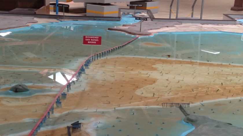
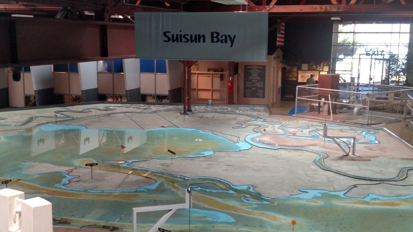
One of the more interesting things to see in Sausalito is the Bay Model, constructed by the US Army Corps of Engineers in the mid-1950’s. This 1.5 acre hydraulic scale model of the San Francisco Bay and Sacramento-San Joaquin River Delta was designed to help scientists and engineers study the effect of various weather and man-made scenarios on the local environment. Little metal strips are scattered throughout the model to help accurately simulate tides and the flow of water. With the advent of computer-assisted technology this model is no longer used.
Here is a small (dry) sample of what the Model looks like up close:
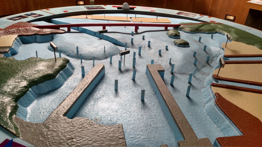
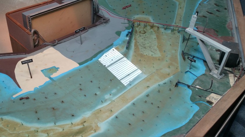
And here are some photos of the actual Model. It is housed indoors in a large building which covers more than two acres:


There are little signs indicating where cities, bridges and various landmarks are:
If you look closely there are two people standing just to the right of center in the following photo:
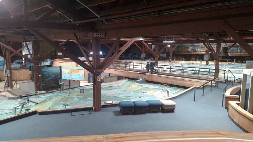
There are also large signs hanging overhead which name the general regions of the area:
I went over this bridge (the real one) Thursday morning when I drove from San Rafael over to Berkeley: