August 15, 2019
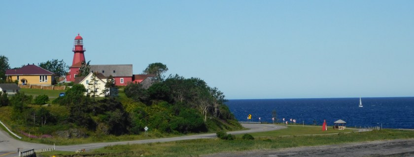


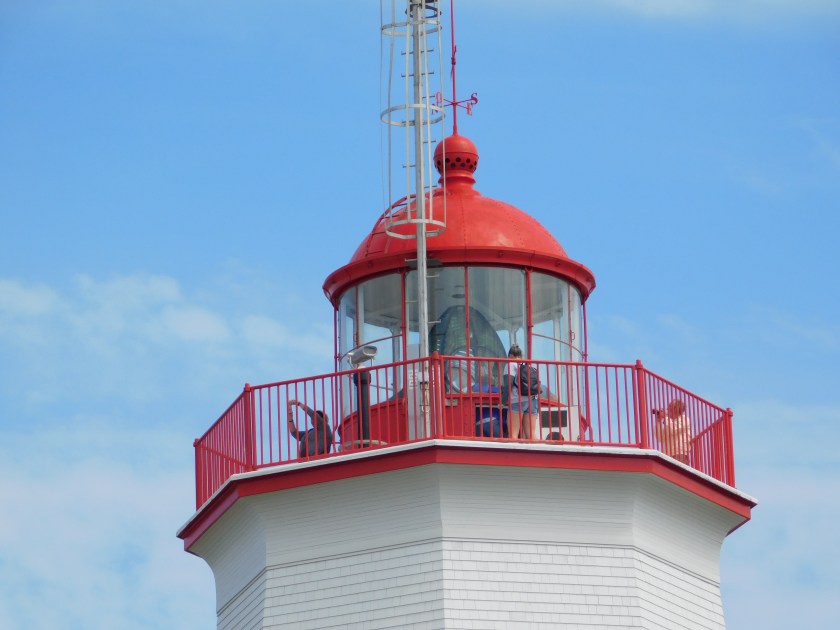
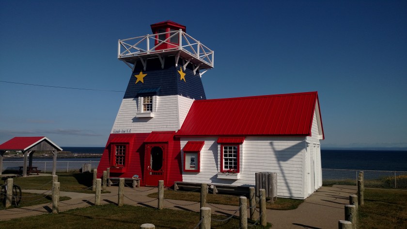
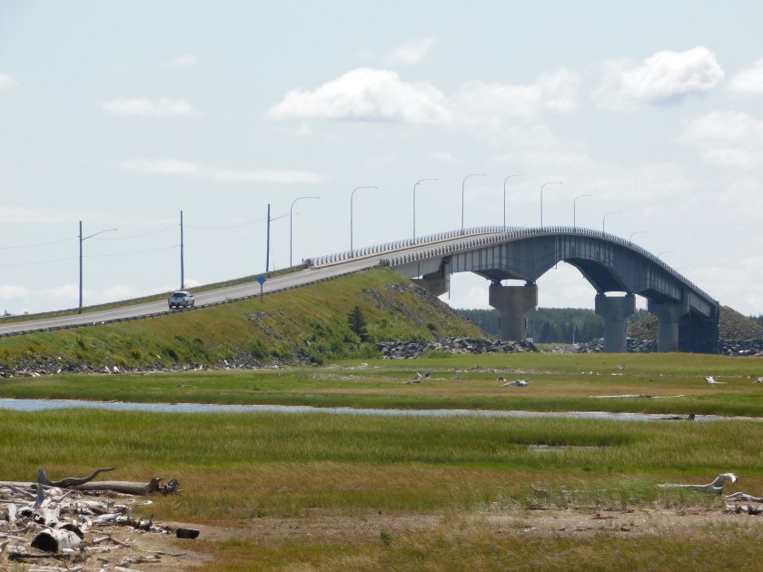
I am writing this at 543am local (now back on Eastern) time Thursday in the bedroom of my Airbnb in Rivière-du-Loup, Québec. I arrived here late yesterday afternoon after a spectacular day driving along the Saint Lawrence River. The drive all the way around the Gaspé Peninsula is simply amazing.
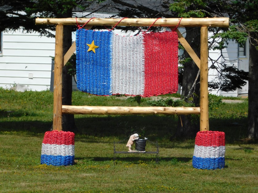
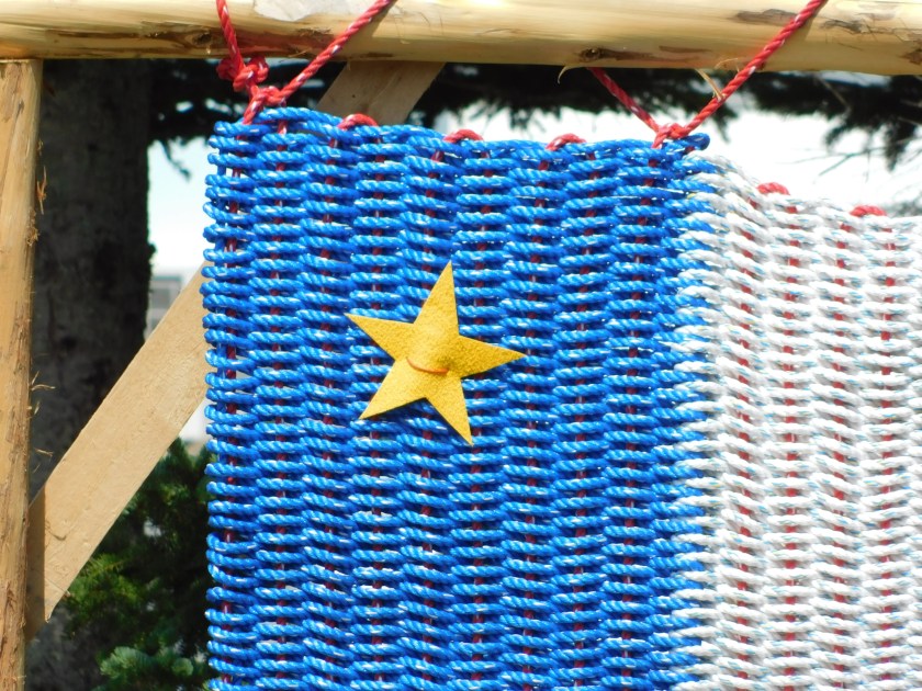
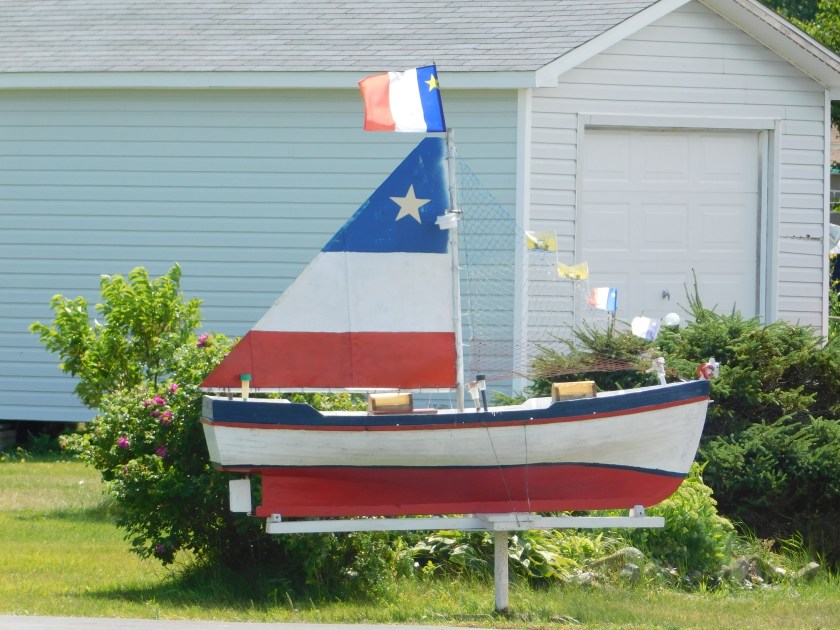
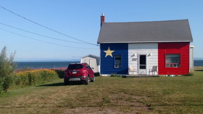
I know I’m behind but I am seeing lots of things and will be posting lots of photos, eventually. My arrival at the Airbnb here was a little disjointed (the hosts are away – I didn’t get their message to that effect until I finally got online here last night) and the only person in the house was Luis, who, bless his heart, only speaks Spanish, of all things, and believe me I mean ONLY Spanish! Mon Dieu!
I’m lucky he didn’t summon the gendarmes when I walked in the house unannounced and he walked sleepily out of what I presume is his bedroom. He seemed to have absolutely no idea who I was or what I was doing in his living room. Non-understandable questions and hand gestures finally inspired him to show me to the guestroom upstairs and through detective work I was able to deduce the wifi password and finally get online. I was exhausted and laid down to briefly rest my eyes for a few minutes….. and woke up around midnight!!
BTW, I didn’t even learn Luis’ name or the fact that he doesn’t speak English until I got online at midnight and saw my host’s message.
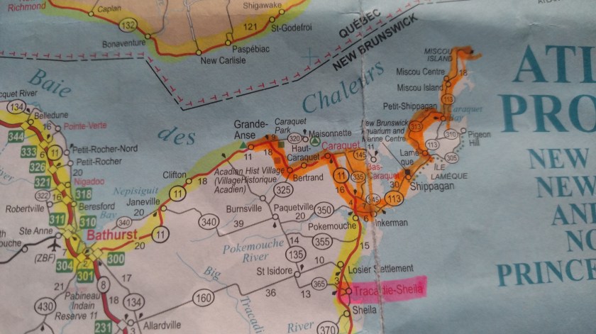
I am going to shower and get ready for my big day today. I hope to catch the ferry across the St. Lawrence and drive along the north shore in to Québec City. My Airbnb hosts up in Quirpon, NL suggested many small towns on that side of the river (which will required some backtracking) and they said the drive into the city on that side is much nicer.
I am in Québec City 4 nights at the same place and it sounds like the host will have lots of local knowledge to help me hit the highlights. I’ve been holding out at some other places but I plan to eat like a porc.
Tonight I plan to do laundry and while that is underway, study the maps I will pickup in town and plan my day for Friday. I have a basic plan but will have to see what suggestions or alterations my host has. Other guests have been very impressed with him and this is another example of why staying in Airbnb’s is so rewarding (if you don’t get shot as an intruder).