My First Day in Canada

July 12, 2019

DeerIslandMap

(Photo credit: lilacinn.ca)

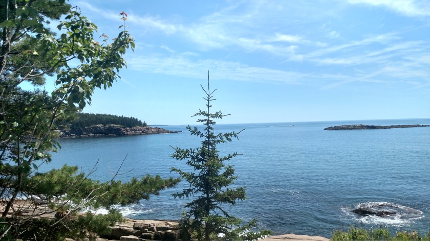
Friday morning I left Hampden, Maine and headed east on scenic Route 1 which would take me to the border crossing at Lubec.  It was raining and as I approached the border I thought about making a few side trips but decided that the rain, wind and low cloud cover would not yield very good photos so the first few items are photos I found online.

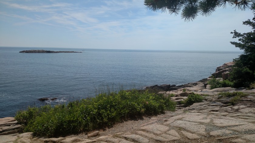
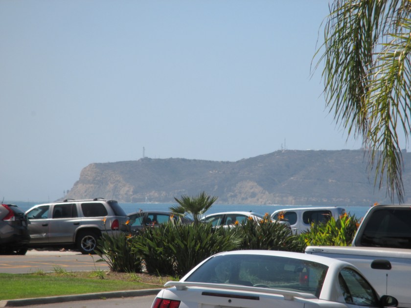
Just before crossing at Lubec I had a chance to drive east a short distance to see the West Quoddy Head lighthouse, the easternmost point in the United States.  Here’s what it looks like on a nice day:

west-quoddy tripadvisor

(Photo credit: tripadvisor.ca)

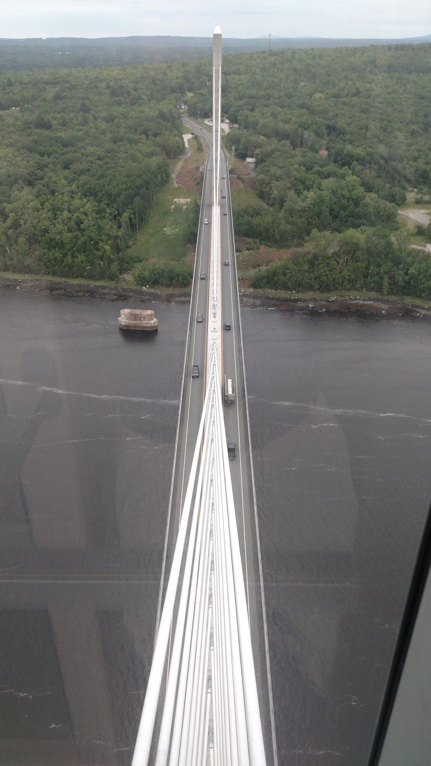
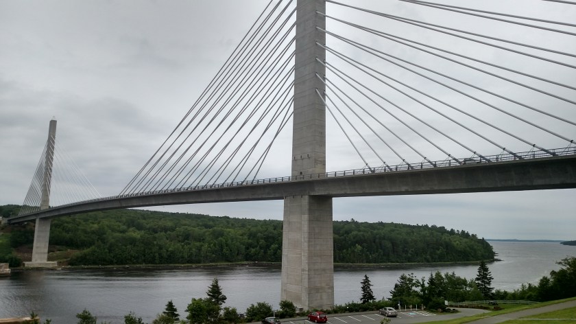
The border crossing itself was quite simple.  A short but high bridge took me into Canada’s New Brunswick province – no line, no waiting.  After answering about a dozen questions I was on my way.  The next decision was which ferry to take.  I was now on Campobello Island and had to catch a ferry to Deer Island at the top of the hour.  I had already lost an hour by crossing into Canada (Atlantic Time Zone) and decided to pass on seeing the Roosevelt Campobello International Park (which I drove past just a short distance form the border station) as well as the Head Harbour lighthouse (aka East Quoddy Head) at the northern tip of Campobello Island, which would have delayed me another hour.

Here is US President Franklin D. Roosevelt’s summer cottage at the International Park (if you can call a 3-story, 34 room structure a “cottage”):

RooseveltCampobello

(Photo credit: nps.gov)

And here is the lighthouse:

Head-Harbor-Lightstation2-Winnebago

(Photo credit: winnebagolife.com)

Without making those sidetrips I waited only about 10 minutes for the 11 AM ferry to Deer Island.  I drove onto the ferry, which could probably hold about a dozen vehicles, for the 20-minute ride.

IMG_20190712_101023747

IMG_20190712_101732837

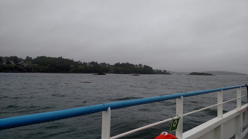
Those photos were taken from inside my car with the driver’s window down (briefly).  All I could think about during the ride was the scene in the War of the Worlds remake where the alien machine rose up out of the water causing a ferry full of people and vehicles to tip over….

What I should have been thinking about was the Old Sow Whirlpool which the ferry has to circumnavigate during the ride to Deer Island.

From the internet:

Old-Sow-Whirlpool divebuddies4life

(Photo credit: divebuddies4life.com)

This whirlpool occurs twice a day, about 3 hours before high tide.  It also occurs, but with lesser intensity, 3 hours before low tide.  It can be as large as 250 feet across.  It is the largest tidal whirlpool in the Western hemisphere and the 2nd largest in the world.  The blue ship in the upper left corner appears to be a ferry like the one I was on.  Motorized watercraft must be aware of the effects of the whirlpool but are usually powerful enough to escape it but operators of sailboats and canoes/kayaks MUST take heed of the warnings they are given or they may be drawn in to it.

I was crossing at 11 AM local time and high tide that morning was at 856 AM so we had no worries.

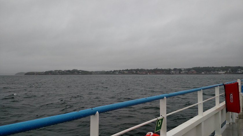
Once on Deer Island I drove up the east side of that island and waited for another ferry for another 20-minute ride to Back Bay on the mainland.

IMG_20190712_105021046_HDR

You can see the ferry approaching.  It held about 18 vehicles.  There were more than that in line ahead of me so I had to wait a half hour for the next one.  Once on the ferry I was parked on the inside lane (of three) next to the bridge superstructure with a large pickup truck to my left so I couldn’t see a thing as we crossed.  It rained hard just after we got underway and we weren’t allowed to get out of our vehicles (on either ferry).

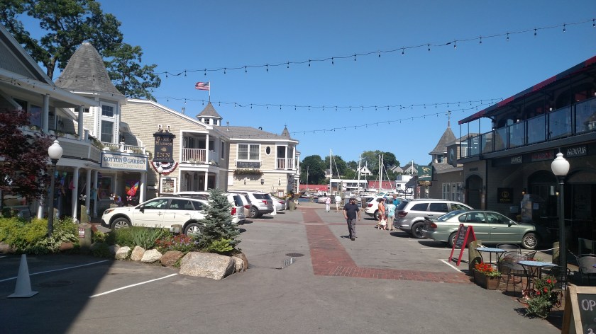
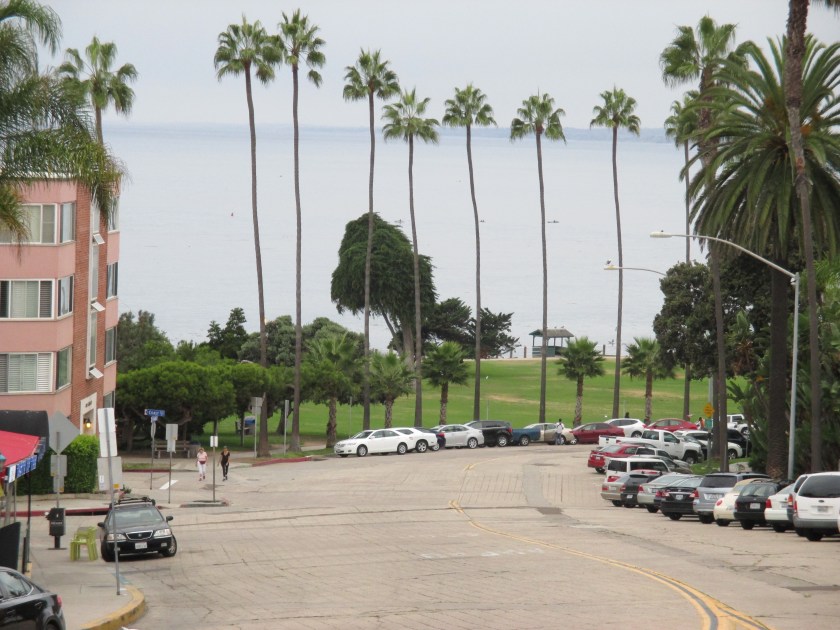
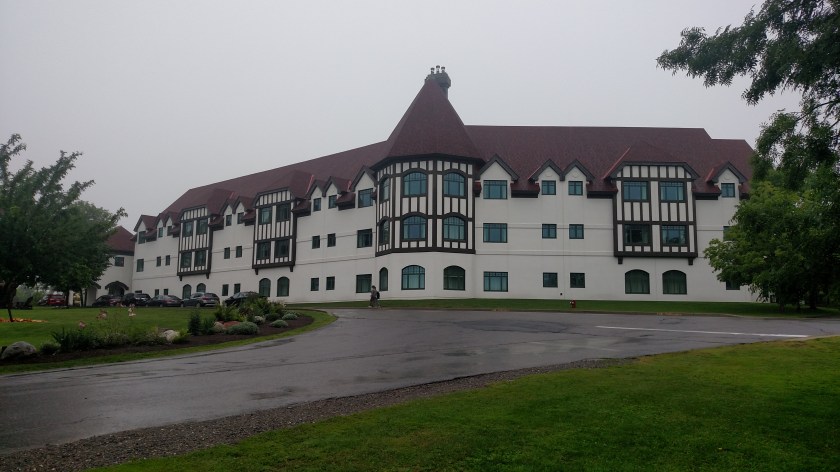
Once on terra firma I drove a short ways north (passing the 45th Parallel in the process) to what we in the US would call an interstate highway, Route 1 (in Canada called a provincial highway, NB-1 in this case, and in some other cases called the Trans Canada Highway).  I took it west a short ways, then took a scenic secondary road down to the town of St. Andrews.  There I found the Algonquin Hotel (resort):

IMG_20190712_123545602

IMG_20190712_123635150

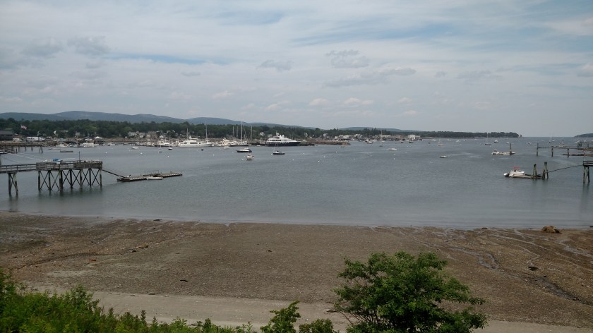
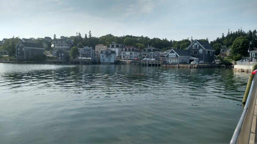
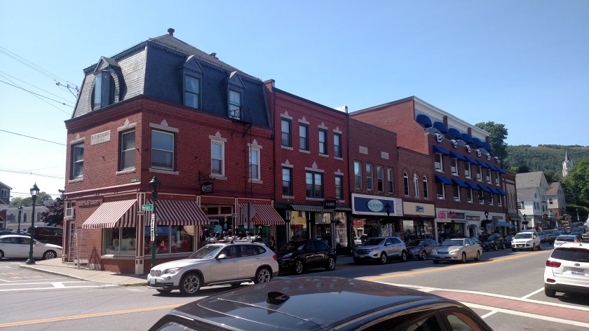
I then drove into town, a charming little coastal town:

IMG_20190712_124202349

IMG_20190712_124234955_HDR

IMG_20190712_124215154_HDR

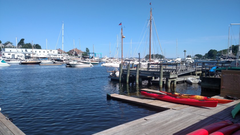
And this is their harbor:

IMG_20190712_124332912

I was there about 145 PM and low tide would occur at 315 PM.

Next I took different scenic road back up to Route 1 and headed east towards St. John.  I passed St. Croix Island on my left but visibility was very poor and I didn’t stop to take a picture.

St. John is a large city and I knew I wanted to eat at City Market, downtown.  I found a place to park nearby and walked in light rain to the Market:

IMG_20190712_151258452

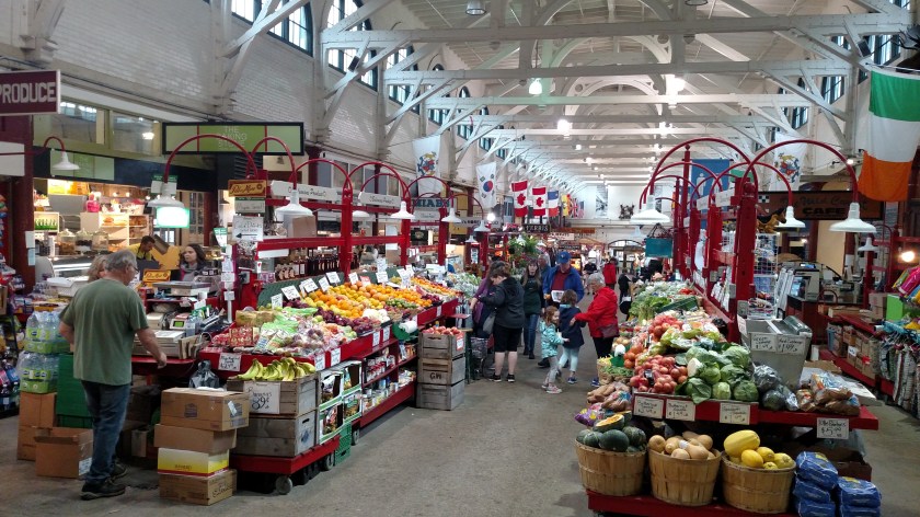
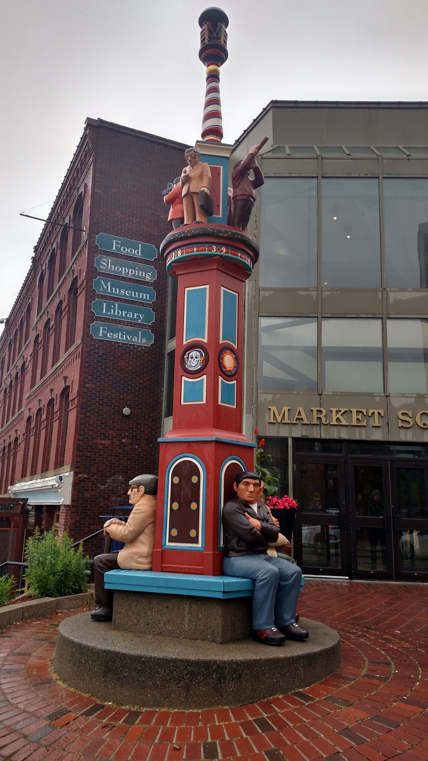
I had just eaten a late lunch and scoped out the various eateries planning to come back for dinner before heading to my Airbnb in nearby Rothesay.  I went out to explore the downtown area:

IMG_20190712_152648082

IMG_20190712_153613425_HDR

Several years ago various towns had a contest where individuals or organizations painted a themed animal or item and scattered them around town.  Richmond VA had fish, Rochester NY – rocking chairs, Raleigh/Durham NC had red wolves (though there was a timing issue so it didn’t go over very well).  St. John had salmon and while I saw quite a few I will only post 2 here:

IMG_20190712_153939252

IMG_20190712_155108463

I walked down to the waterfront and considered walking around the harbor on their nice walkway for exercise but the rain and wind intensified (wrecking my umbrella in the process) so I went to Plan B.

IMG_20190712_154040566_HDR

I went back to my car and drove across town to see the “Reversing Rapids”

IMG_20190712_161528993

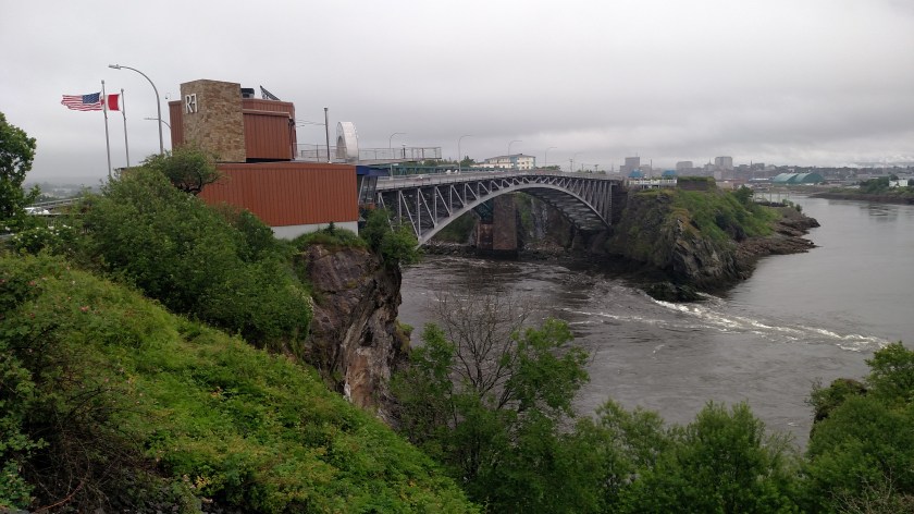
Evidently the water under this bridge flows in two different directions as the tides change.  There is a huge paper mill complex off to the left in this photo which is directly across from the formal “rapids viewing area”.  I read that a few years ago some organization dubbed this the worst tourist attraction of all time…

I drove back to City Market and learned, much to my dismay, that the vendors were all closing up shop for the day (at around 530 PM on a Friday!!) so I grabbed something to eat in Rothesay before checking in to my Airbnb.


Acadia National Park – Day 2

July 10, 2019

Wednesday I drove back down to Acadia to just get my chair out and sit in the shade and enjoy the sounds & sights of the ocean.  I picked some of the nicest vantage points I had seen the day before.  I also drove through Bar Harbor but didn’t even park the car and walk around because it was so congested.

This was just past Sand Beach, looking east-southeast:

IMG_20190710_114216000_HDR

IMG_20190710_114120039

This was on the south end of the island – looking out at the ocean:

IMG_20190710_131328445_HDR

And this was at a high point, though not as high up as Cadillac Mountain – looking to the east-northeast (north of Bar Harbor), then looking towards Bar Harbor:

IMG_20190710_143935603

IMG_20190710_144041829

High Anxiety

July 11, 2019

On my way to my Airbnb on Monday I drove over this bridge south of where I was staying in Hampden.  It is called the Penobscot Narrows Bridge and on top of one of the support towers is an observatory, the only one like it in the United States and one of only three in the world.  This bridge went into service in December 2006, replacing an older suspension bridge which had been built in 1931.

These are two photos I took on Monday, the bridge itself:

IMG_20190708_165835578

And the view of the Penobscot River as it flows out to the ocean:

IMG_20190708_165805070

I am afraid of heights and initially wasn’t inclined to go up in it but later in the week I had time so I thought I’d give it a shot.

This is a view of the bridge from the town of Bucksport:

IMG_20190711_091928166

On the right is Fort Knox (no, not that Fort Knox – though wouldn’t it be a hoot if all our gold is really underground up here in Maine?) which was constructed of locally mined granite.

I rode the elevator 420 feet up to the top of one of the towers and could then see 360 degrees around from 3 different observation floors (so people can spread out and not hog the view).

This is looking down (north) at Bucksport:

IMG_20190711_160928587

And a little to the left (now looking north-northwest) is an old paper mill which, to the local residents dismay, closed unexpectedly in 2014.

IMG_20190711_160935119_HDR

And here is the view looking south, of the Penobscot River flowing out to the ocean:

IMG_20190711_161005418

And this is looking west, at the support cables:

IMG_20190711_160912831

And looking east:

IMG_20190711_161100465

Here are two shots from the parking lot area:

IMG_20190711_162729161_HDR

IMG_20190711_162836832_HDR

And here is a photo taken at night which I found online:

PenobscotIggieSanchez

(Photo credit: Iggie Sanchez)

Acadia National Park

July 9, 2019

The main reason I am spending 4 nights in Maine before crossing into Canada is to visit Acadia National Park.  I have been to Belgrade Lake, north of Augusta with one of my brothers and his family on several occasions (including side trips each year to LL Bean and Pemaquid Point Lighthouse) but have never visited other parts of the state.

Tuesday I drove out to Acadia and spent a good bit of the day driving around within the Park itself and on much of the island it occupies.  I always thought the main island was exclusively the Park but learned that in addition to a major town (Bar Harbor) there are also many, many small towns and fishing villages scattered all over the island with non-Park roads connecting them.  Although the bulk of Acadia is in one place (and has a 27-mile road meandering through it) there are also smaller parts of the Park scattered about the area as well.

The first thing I did after I arrived at the Park and got my map was head up to the top of Cadillac Mountain, the highest point in the Park.

This is the view towards the east-northeast.  Bar Harbor is along the edge of the island I am standing on and behind it are several more islands: Bar Island, Sheep Porcupine, Burnt Porcupine, Long Porcupine and Bald Porcupine.

IMG_20190709_104924917

Looking the other way is another, smaller mountain with a large lake at it’s base.

IMG_20190709_105942685

IMG_20190709_104650441

I drove around Park Loop Road stopping at various overlooks.  This is a short ways past Sand Beach:

IMG_20190709_120625262

IMG_20190709_120641908_HDR

And in the central part of Mount Desert Island is Somes Sound, a fjard (similar to but different from a fjord):

IMG_20190709_130625072

IMG_20190709_130615707

And further around the island (and outside the Park) was this little fishing harbor, Southwest Harbor, at low tide:

IMG_20190709_132916318

And on the south side of the island I saw some sailboats:

IMG_20190709_135041352

After leaving Acadia for the day I headed back towards Hampden, but made a side trip near where I had driven to Castine the day before, this time taking Route 15 as far south as I could go – to Stonington:

IMG_20190709_161129788_HDR

IMG_20190709_161502457_HDR

I will be going back to Acadia again tomorrow to just sit and enjoy the views at some of my favorite spots rather than just driving all day.

Coastal Maine – Updated!

July 8, 2019

POST UPDATED with new photos and commentary (finally!)

Bangor KingsleighInn

(Photo credit: kingsleighinn.com + Copyright MapQuest Inc)

I arrived in Maine on Monday and when I reached Augusta I headed east towards the coast to drive some scenic roads before going to my Airbnb near Bangor.  These were taken near Camden, Maine.

IMG_20190708_150423940

I see Lobster Pounds everywhere along the coast.  These are restaurants where you may buy and eat fresh seafood on-site or take it home with you.

This is part of downtown Camden:

IMG_20190708_152247703_HDR

IMG_20190708_152514603

IMG_20190708_152651646

IMG_20190708_152750557

IMG_20190708_152811752

IMG_20190708_153111124

And further north from Camden is Belfast, another nice little coastal town & harbor:

IMG_20190708_161331812

IMG_20190708_161611993

I drove further north and east, then dropped down on some small roads to the town of Castine where I found a small lighthouse.  It was rather ordinary and I already know I have some better ones coming up soon so I’ll spare you the photo.

I finally headed north to where I would be staying for 4 nights south and west of Bangor in a nice log home in the woods near Hampden.  When I arrived there I met a fellow Airbnb traveler from the UK who is wrapping up a 6-week driving tour of Massachusetts, Maine and Canada.  Here is Tony’s motorcycle:

IMG_20190709_082507849_HDR

I’m not quite sure I’m ready to be that adventurous…


Birch Aquarium

September 18, 2014

This is the Aquarium in San Diego

IMG_0169

IMG_0168

IMG_0206

IMG_0207

My new camera didn’t do a very good job with indoor photos, but I did manage to get a few decent ones:

IMG_0172

IMG_0197

IMG_0200

This is a picture of a picture – a Munk’s Devil Ray jumping out of the ocean:

IMG_0213

Among the various exhibits was one of sea horses.  Those photos are all pretty blurry but I do want to share these two variations.  I will follow them with better photos I found online.

IMG_0235

IMG_0236

The two photos above are of Weedy Seadragons.  They are only found near Australia.  Below is a Leafy Seadragon, also found only near Australia.

IMG_0243

Here are better photos I found online:

WEEDY SEADRAGON:

weedy_cover-1024x512

(Photo credit: scubadiverlife.com)

LEAFY SEADRAGON:

leafy-sea-dragon-fish

(Photo credit: animalsake.com)

Water Water Everywhere…

September 2014

I guess I can’t post pictures from southern California without including shots of the harbor near San Diego…

IMG_0074

IMG_0075

IMG_0262

IMG_0263

IMG_0266

IMG_0288

The photo above is of Ocean Beach.  While I was there (to get a yummy, healthy Acai Bowl) I learned that this is where the jets departing from the San Diego airport fly to get out over the ocean.

And then there’s the ocean:

IMG_0286

IMG_0285

IMG_0160

IMG_0161

IMG_0162

IMG_0165


San Diego – Various

September 2014

Here are some other things I saw while visiting the San Diego area.  This is the Hotel del Coronado, out on a narrow peninsula south of town.

IMG_0084

IMG_0087

IMG_0089

One day I drove out east of where I was staying in Escondido (to go to the Julian Pie Company in Julian, CA).  Along the way I approached this mountain which was covered by huge boulders.

IMG_0094

IMG_0096

IMG_0098

And one of the days I was downtown I saw this larger-than-life Scrabble game in progress:

IMG_0260


Simon Says STOP

September 2014

I made an earlier post which tells about various rail-based transportation options I used to travel around the San Diego area.  This is a “street trolley” I also rode one day while downtown:

StreetTrolley

I have ridden these in many other cities (Savannah, St. Augustine, New Orleans and Key West, just to name a few) and they are a GREAT way to get acquainted with a city, especially if you have limited time there.  For one price you can ride around town all day and have the driver explain what you are looking at and not have to worry about traffic or parking.  You can get on and off at any of the stops so I generally ride the entire length, then go again and get off to spend more time at venues which interest me or to take photos.

One of the places we visited on the San Diego tour was Balboa Park, a HUGE (1,200+ acres) city park east of town which features the San Diego Zoo and many, many museums.

While we were driving through Balboa Park the driver told what I thought was an amusing story, one which I have repeated to several people and which I will share with you now.

First, another photo to help tell the story:

BalboaStory

This is part of a photo I took of a map of the area while I was out on Point Loma.  I have cropped the photo to focus on two specific things:

First, the San Diego International Airport – at the center of the photo.  Second, Balboa Park – the green area above and to the right of the tan area (downtown San Diego) in the lower right corner.

The black line separating the tan and green areas is a highway.  Balboa Park is above where the highway “dips,” then goes up a little before dropping almost straight down.

The San Diego airport only has one runway to service large passenger jets.  It slopes from west-northwest to east-southeast in the photo.  Because winds are almost always coming in off the ocean, jets generally land by coming in near the downtown area and depart by taking off west, towards the ocean.

OK – If you take a ruler and extend the runway right you will see that the approach path  crosses directly over the southernmost part of Balboa Park.

Now – the amusing story the trolley driver told us:

There is an outdoor amphitheater at the southern end of Balboa Park called the Starlight Bowl.  Because it is close to the airport, jets are quite low as they pass overhead.  Consequently the noise from these jets presents a problem for people watching and listening to performances at Starlight (again, an outdoor, open-air facility).

Solution – The theater established a set of small, strategically placed “traffic lights” (red/yellow/green) which could only be seen by on-stage performers, the orchestra and the orchestra conductor.  During the performance a “lookout” would watch for approaching aircraft and turn on the yellow light, then, when the plane reached a specific point, the red light.  When the red light came on EVERYTHING stopped.  Performers froze in place and the orchestra stopped playing.  After the jet passed the yellow, then green light would come on and everyone would resume with the production.

After explaining this the driver started a cassette tape which played the following:

Oh-o-o-o-Oak

(pause)

Sound of jet flying over

(pause)

-la-homa where the wind comes sweepin’ down the plain….

I find this story very amusing, however in researching this post (and after repeating this story for years) I learned that although I was in San Diego in 2014, the Starlight Bowl fell into disrepair and closed in 2012, so while what the driver told us was true (at one time) it doesn’t pertain any more.  I’m glad I didn’t stick around to go to a performance and experience it for myself.

Patrons didn’t find it very amusing as productions suffered from numerous interruptions and what might have been a two-hour show could easily extend to almost three.


Point Loma

September 2014

I ended up out at Point Loma three times during this trip.  I drove out there the day I arrived (not far from the airport and close to a restaurant where I wanted to have lunch).  I drove up again during the week (when I took most of these photos) and again the morning I left, before dropping the rental car off at the airport.

SanDiegoDowntown

(Photo credit: tripsavvy.com)

Point Loma is the white peninsula in the lower left portion of the map above, left of the word Coronado.  This is what it looks like looking out from the downtown area:

IMG_0081

From out at the end this is the view looking back down towards the city:

IMG_0314

And looking out towards the ocean:

IMG_0316

Here is another map to help with understanding the area:

IMG_0295

Point Loma extends south to the Cabrillo National Monument (at the lower left of the photo).  Downtown San Diego is the tan area in the right potion of the photo.  The San Diego airport is in the upper center of the photo.  The much larger ‘X’ at the lower-center of the photo are the runways of the North Island Naval Air Station.  That base also services a number of aircraft carriers.  The San Diego area has a HUGE military presence – of all branches (Army, Navy, Air Force, Marines and Coast Guard).

While I was up on Point Loma a large military aircraft took off and as it banked left towards the ocean it flew very close to where I was standing.  The camera I bought at the beginning of this trip only has an 8X zoom so you can see that the airplane wasn’t very far above me as it passed by.

IMG_0293

IMG_0294