August 7, 2019
(No photo – I didn’t take a single one today…)
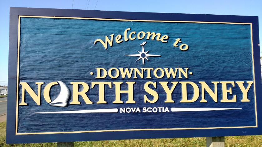
I barely made it to my Airbnb on PEI before it was too dark to see. My car wasn’t finished until 2pm local time and I went back to my Airbnb in North Sydney, transferred my stuff to the car and pretty much drove non-stop to PEI (at least as far as taking pictures was concerned). I did stop briefly at the Welcome Center when I crossed into New Brunswick for maps and it’s a good thing I did because I overshot my exit (not by much, fortunately) to get to the Confederation Bridge. I was looking for Route 15 when I should have been looking for 16. The sign did say PEI but didn’t say anything about the bridge. When I passed through here a few weeks ago I thought the sign clearly indicated the route to the bridge.
No worries! (I just may adopt that phrase myself….)
Now I need to focus my attention to my plan for tomorrow. I will highlight my routes on my new, bigger map tonight and figure out the best spot to go early to have the sun behind me, work my way out to the northwest tip of the island, then backtrack with the sun behind me in the afternoon until I get to Charlottetown. I definitely want to have lobster and PEI mussels in town tomorrow night. I wanted to get there tonight as well but didn’t have time before it got completely dark.
And it occurred to me last night that I really won’t have a full day on PEI Friday because it is a travel day to get up to Miramichi. Fortunately it isn’t all that far away and I already have a plan to spend the morning here and move up there midday. I can split those scenic drives in New Brunswick into three parts (Fri/Sat/Sun) because my next stop after Miramichi isn’t very far away either.
And I have a new dilemma on my hands…. My GPS unit has vanished mysteriously. I know I had it Sunday night because I had just finished programming it for my original Airbnb and a restaurant for guidance after I filled the car with gas. I didn’t really dig around for it but based on where it was it logistically couldn’t have gone far. I hate to point fingers without proof but if it is in fact gone it could only have happened during my panic calls Sunday night (though I was near the car most of the time while that was happening) or at the repair shop. It was locked when it was towed and I took the keys up to the shop Tuesday morning.
Oh well, I didn’t like it very much anyway. Things happen in threes so now I have that jinx behind me (SD card for camera in St. John’s, car in N. Sydney and now GPS unit in ???). Will go to Walmart and buy another one in the next day or two. I don’t use it much but do like having it, especially since I am not using my phone except on wifi so Google maps isn’t an option. Plus, there are areas where my phone doesn’t have a signal anyway (like central Newfoundland or in parts of the Colorado mountains). And it still might turn up. I was hunting for it by feel while I was driving but there can’t be that many places it could be. I will look again first thing in the morning.