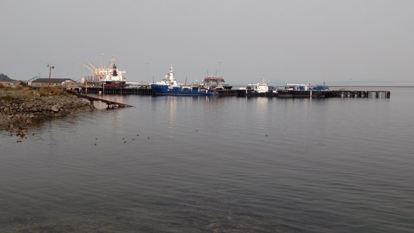
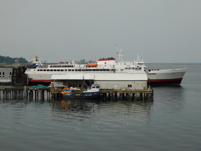
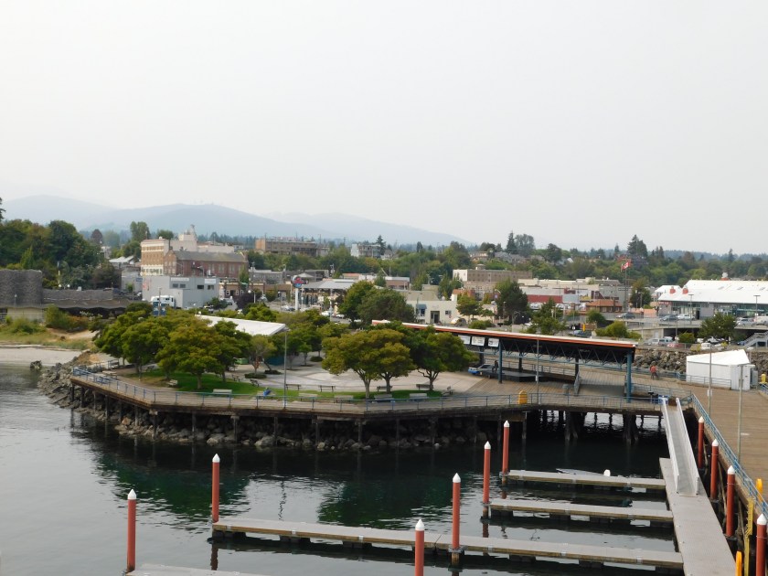
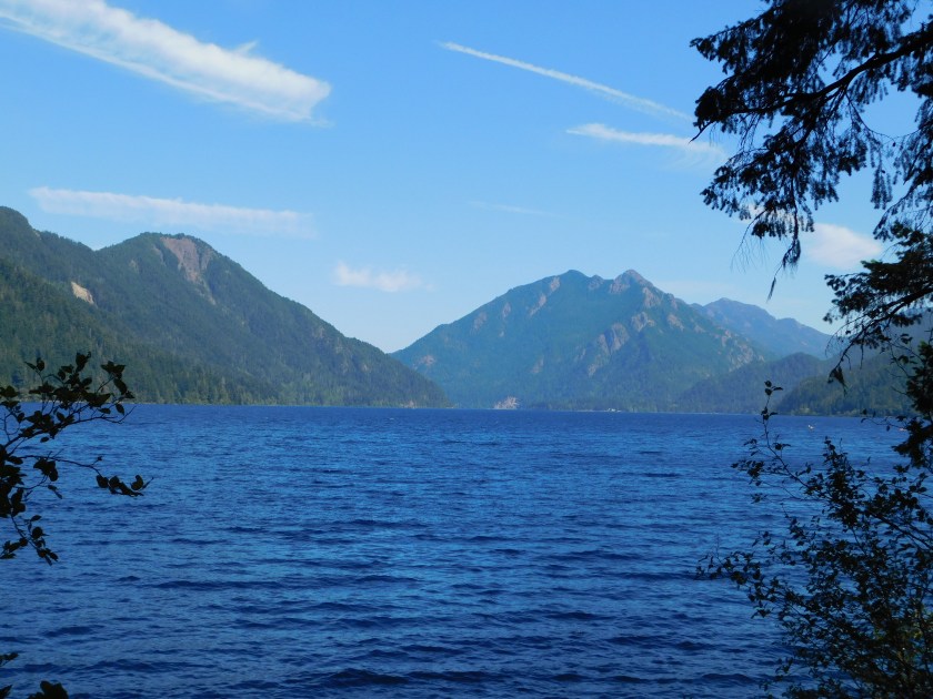
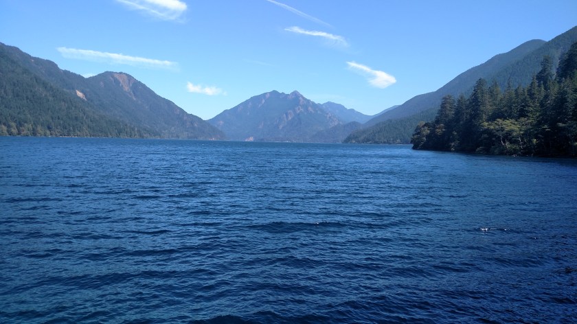
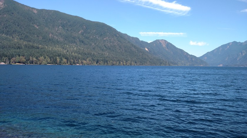
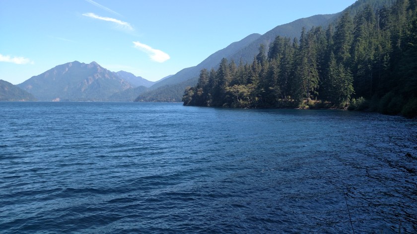
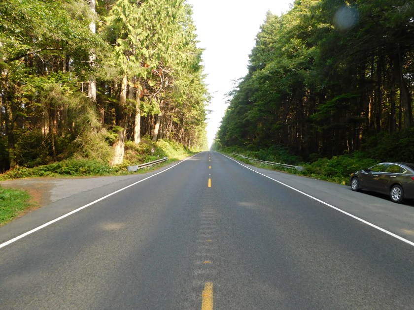
Friday as I traveled north on Highway 101 I stopped in the little town of Forks, which is located inland. I also took Highway 110, just north of Forks, about 15 miles to the even smaller town of La Push, located out on the coast.
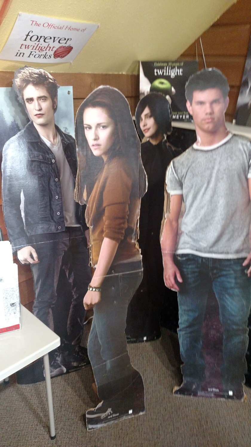
I didn’t know about this until I saw a brochure earlier in the trip but Forks and La Push were the actual towns where the Twilight books and movies were set. For those of you who may not be familiar with Twilight, it was a series of movies (based on the books) which told the love story of a high school romance which developed between Bella, the damsel seeking affection, and Edward and Jacob who were competing for her hand in marriage. Oh, and to keep the story interesting for a few followup books and movie sequels, Edward was a vampire and Jacob was a werewolf. No need to issue a spoiler alert, the first movie came out ten years ago and you either know about this or you don’t.
Evidently teenage girls have traveled here from all over the world, as evidenced by the “pin maps” on the wall of the Forks Visitor Center:

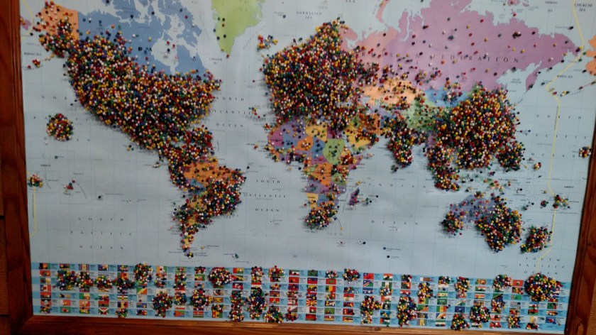
Never in my life have I seen one of these maps with so many pins in them! I tried to get a shot showing that in some places they were 2 or 3 deep but I couldn’t get the right effect. I didn’t put a pin in because: a) there wasn’t room, and b) I thought if I did it might be the straw that broke the camel’s back and the map would tumble to the floor and there’d be pins EVERYWHERE.
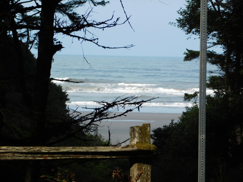
Well, before you drop everything to make your pilgrimage to Forks and La Push be advised – (here’s your spoiler alert) exactly none of the scenes in the movies were filmed here. Zip, zero, nada. While footage was taken of the exterior of the town entry sign, the high school, the grocery store where Bella shopped (I bought a sandwich there, not knowing I was on hallowed ground), and the hardware store next door where Bella worked, the actual scenes “from those places” were filmed in other parts of Washington, Oregon and up in Vancouver, Canada. Even the exterior beach scene wasn’t filmed in La Push or just up the beach at Rialto Beach, but near Cannon Beach down in Oregon.
For whatever reason the author of the books set the story in these actual places. Jacob (the werewolf character) was a member of the Quileute Indian Tribe, the actual tribe on whose land La Push sits, as were members of his werewolf “pack”.
One last piece of marketing (the Visitor Center sells copies of the books, movies, magnets and these):