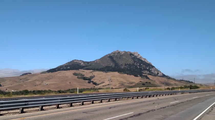
After visiting the Mission in Jolon, CA I continued northwest on what would become Nacimiento-Fergusson Road. This 24-mile stretch which would take me out to the coast starts out fairly level and is a beautiful, scenic road. Eventually it becomes heavily wooded as it starts to climb the eastern side of the Santa Lucia Mountains and at this point becomes a narrow, winding mountain road with an increasingly steep grade. Did I mention it was narrow?
There weren’t any places to pull over and stop until I had almost reached the top, and there were no houses or cell phone service, so good luck if you break down. I quickly learned why this was not the posted detour to get back out to the Pacific Coast Highway. Did I mention it was narrow? There were places where I had to come to a complete stop when I met a vehicle coming the other way before we could squeeze past each other. God forbid someone tries to drive this road in an RV or hauling a big trailer. Did I mention it was narrow?
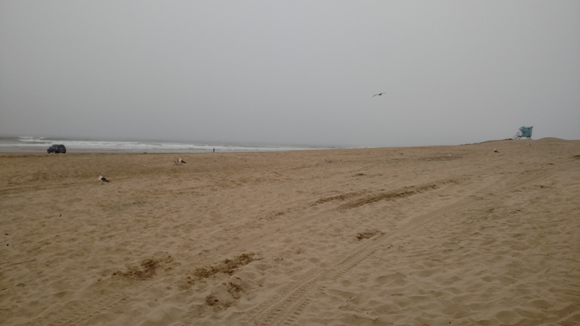
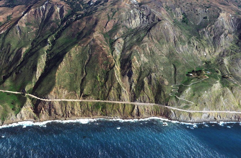
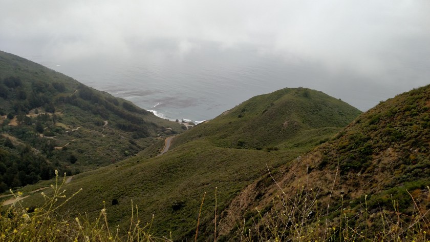
I finally reached the peak, at 2,780 feet elevation, and began my 7-mile descent to the coast. It had been sunny on the east side of the mountains but the marine layer was still lurking on the west side:
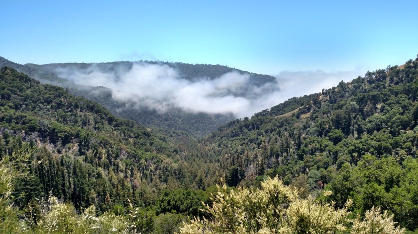
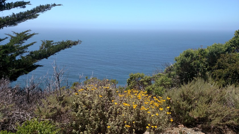
The pictures don’t do it justice. It became very thick and I did stop at few turnouts (there were more of them on this side) but it is hard to take pictures of fog.
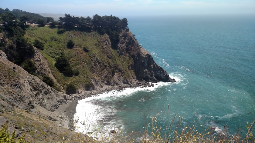
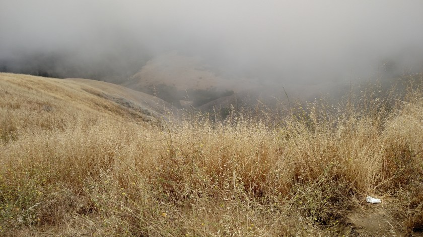
This was looking down off the side of the embankment:
Oh, and this was when my GPS unit tried to kill me. This side of the mountain had sharp curves (over 100, I read. Believe me, I didn’t take the time to count them), steep dropoffs and, most importantly, NO guardrails. Bicyclists call this the “Death Road”. At one point my GPS said “left turn ahead” and when I quickly looked down at it she wanted me to make a 90-degree turn left in 50 feet. Which would have plunged me into the abyss. I had already thought to myself “This would be a great place to drive off the road if you didn’t want anyone to ever find your car or your body”. Don’t worry, my meds aren’t giving me suicidal thoughts as many apparently do according to the TV ads.
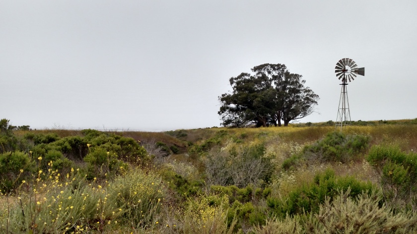
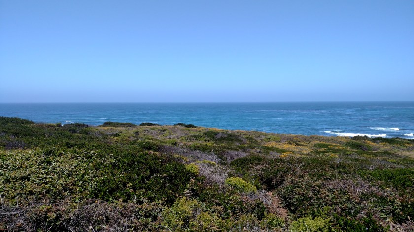
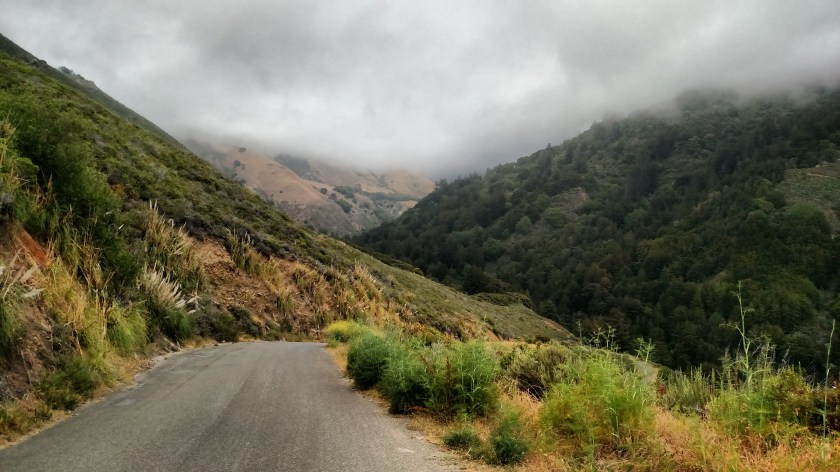
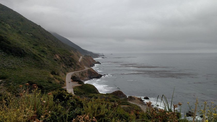
This was looking back up after I got below the cloud deck.
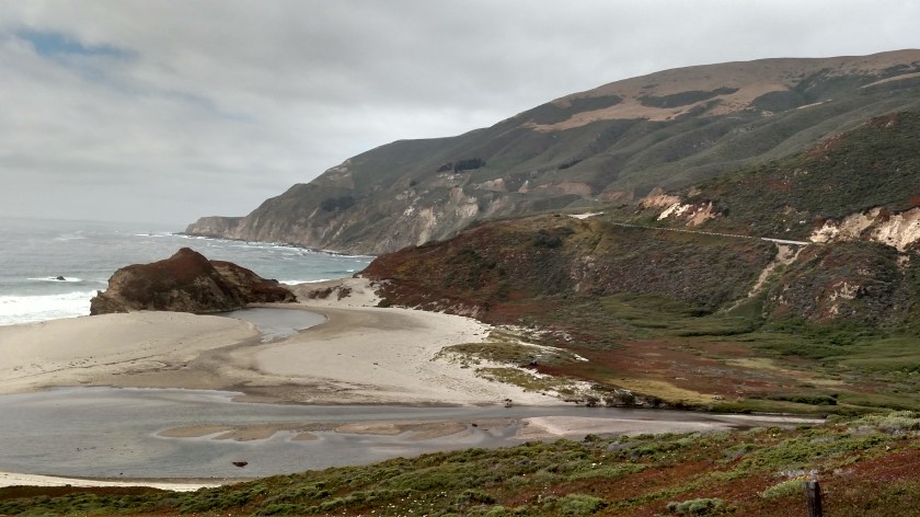
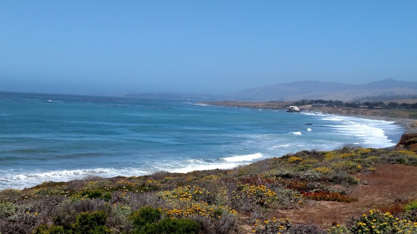
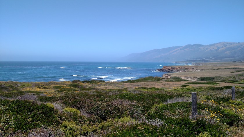
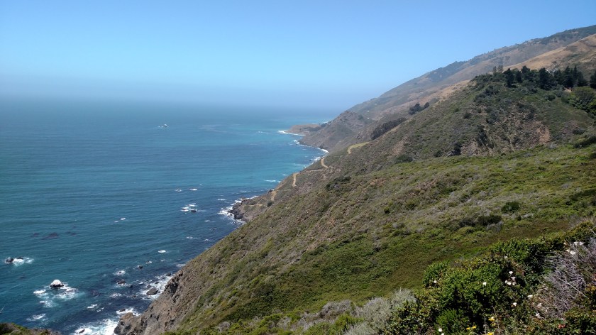
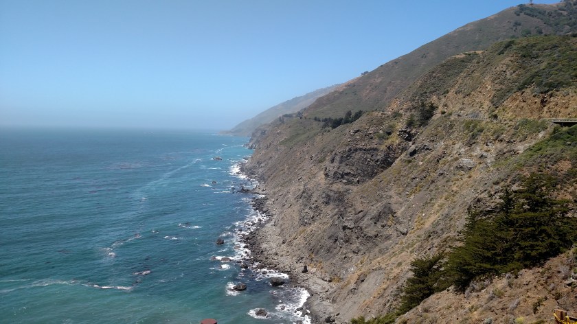
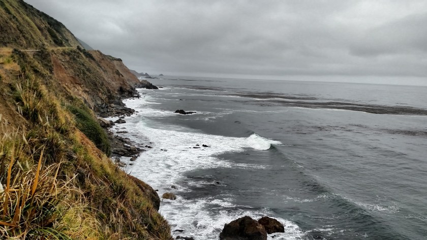
And this was when I could finally see the ocean below me:
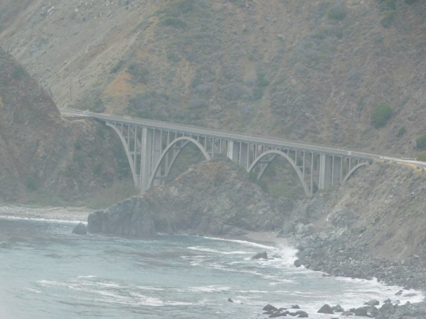
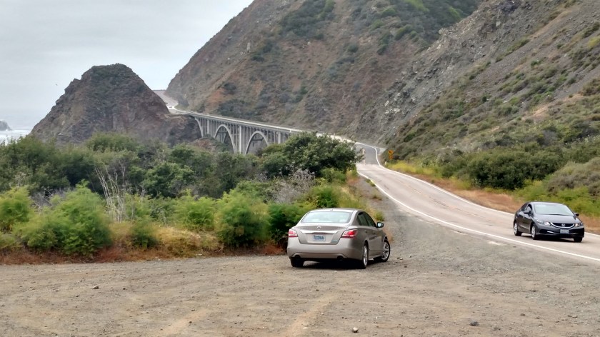
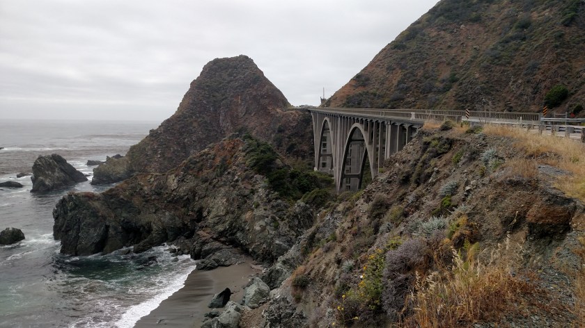
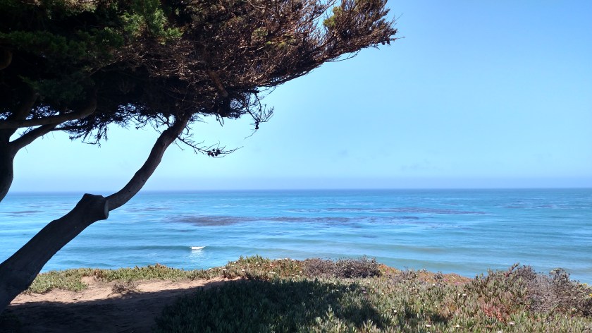
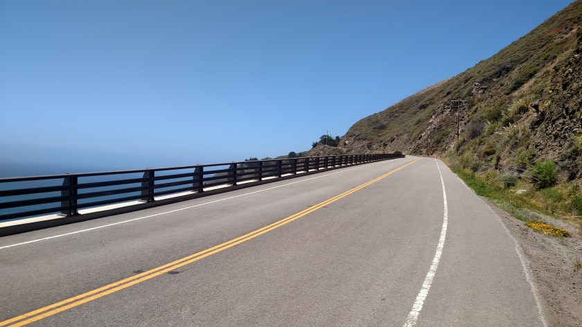
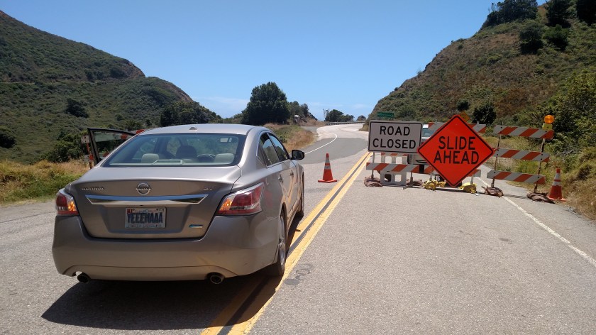
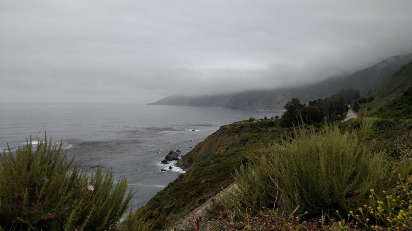
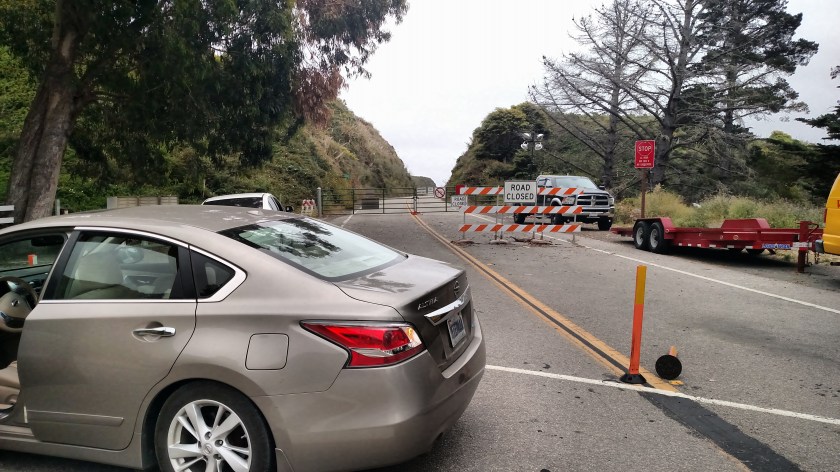
Once I reached the PCH I could drive 8 miles south before reaching the point where it is closed for road reconstruction.
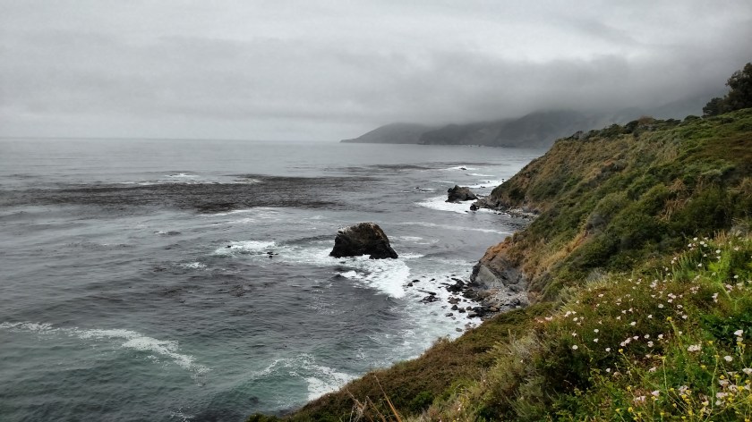


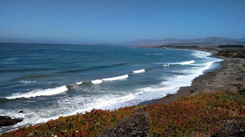
I finally reached the “end of the road”.
And if you thought the price of gas in Death Valley was outrageous, wait ’til you see this. This is what the gas station in Gorda, about 200 feet from where I took the photo above, was charging:

I went on the California Consumer Affairs website to see if I could report this as price gouging but apparently those rules only come into play for 30 days after a disaster. You can barely see it in this photo but the last customer wisely only bought 2 gallons. But again, if you’re dumb enough to come here and need gas, you deserve to pay this price!