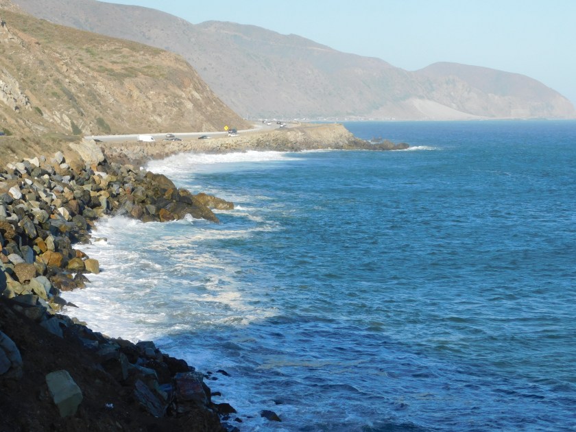
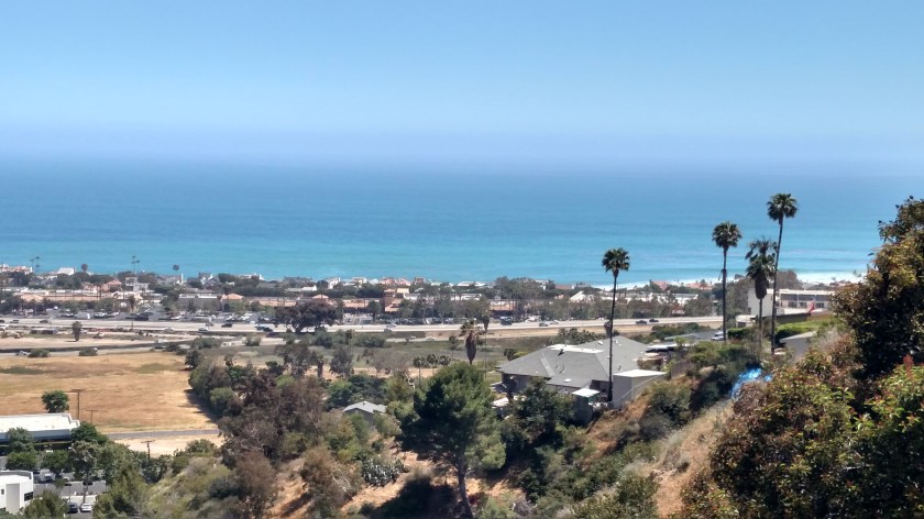
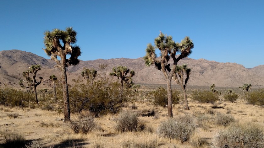
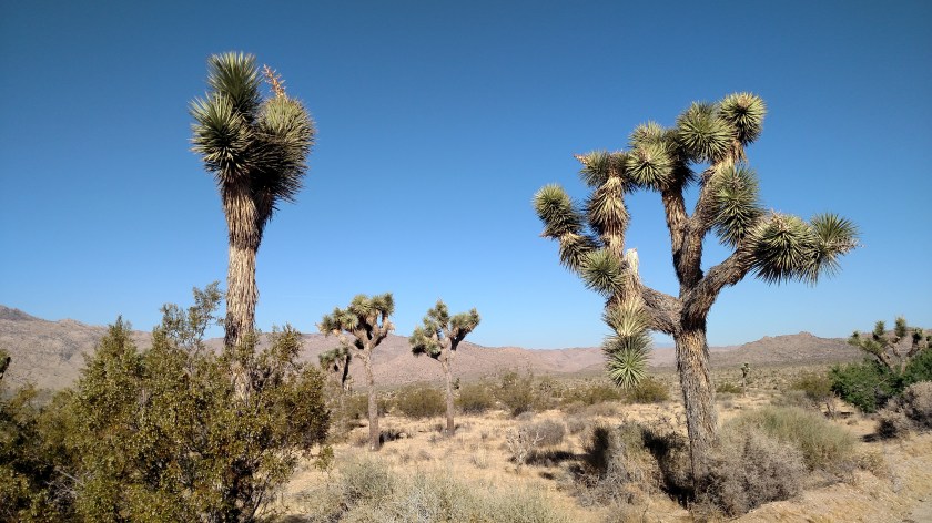
No photos.
When I came to this area I hoped I might find a friend of mine who I met while flying radio controlled model helicopters years ago. As you may have guessed, his name is Chad. Chad is in the Marines and when I met him he was working at Camp Lejeune in Jacksonville, North Carolina. He traveled to many of the same helicopter “fun flys” (weekend gatherings) in the southeast US that I did, and was my best flying buddy.
Chad is a very experienced pilot and has been very kind, helpful and encouraging as I “learned the ropes” of flying. He is the only person I have ever seen who, after taking off, could fly his entire 6-8 minute routine inverted (upside down). The helicopter, not Chad. Before I stopped flying a few years ago he was transferred to Germany for three years, and when he came back to the States was moved to the Marine Corps training facility in Twentynine Palms, CA, about a half hour east of where I was staying.
I didn’t have his contact information but after about an hour and a half of online detective work (can you say “stalker”) Friday night, I found him! He sent me his phone number and when I offered to take him out for a beer or for dinner he said I should just come to their house for dinner Sunday night.
So I had dinner with Chad, his wife Amy, and their son Dieter – who, now 12, has doubled in age and height since I last saw him, and is incredibly proud that he is now taller than his mother! We spent about 4 hours together, with me talking their ears off about my travels, my blog, and my Airbnb experiences. While I thoroughly enjoyed visiting with them and catching up on things, the entertainment was provided by their dog.
They have a huge, black Rottweiler. While we were inside talking he wanted to be involved in the activity and Chad had to keep shooing him away (they give all their commands to the dog in German, which I found interesting). And as those of you know me know, when JohnBoy is speaking HE wants to be the center of attention. The really funny part was when Chad was out cooking steaks on the grill, their dog came walking over with a tire around his midsection. I laughed, and Chad said “If you think that’s funny, wait ’til you see this”. He coaxed the dog out of the tire and threw it (the tire, not the dog) out in the yard. The dog retrieved it and carried it back to Chad, a process they repeated about a half dozen times. This is how the dog plays “fetch”.
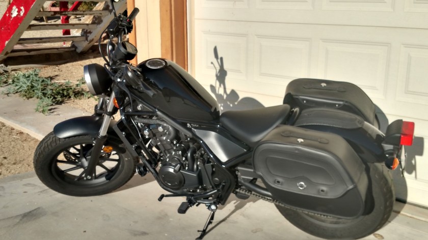
Chad rides motorcycles and one time when he was replacing a front from one of his bikes and threw the old one out in the yard and, voila, a new behavior was born!