Mesa Verde National Park

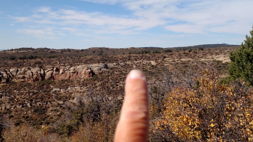
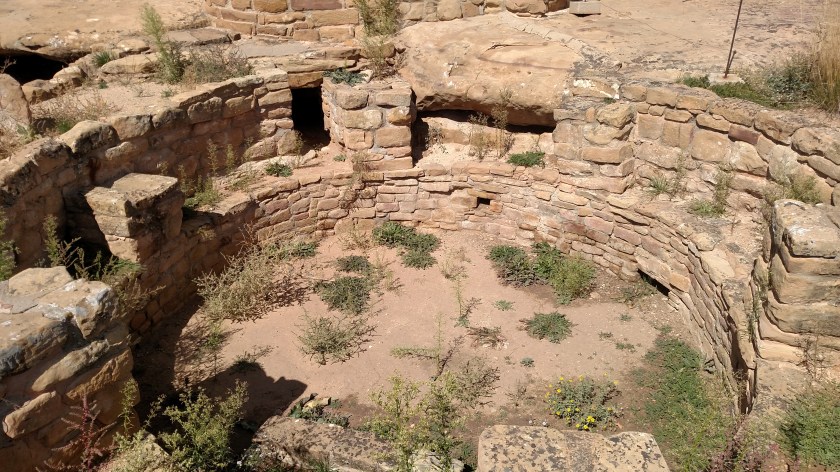
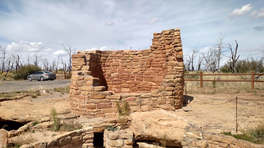
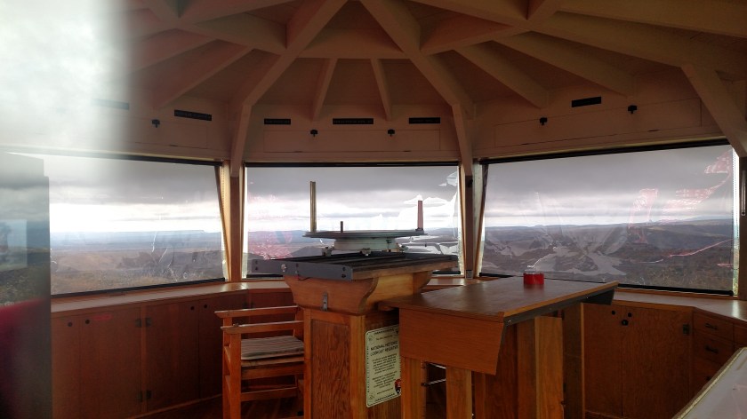
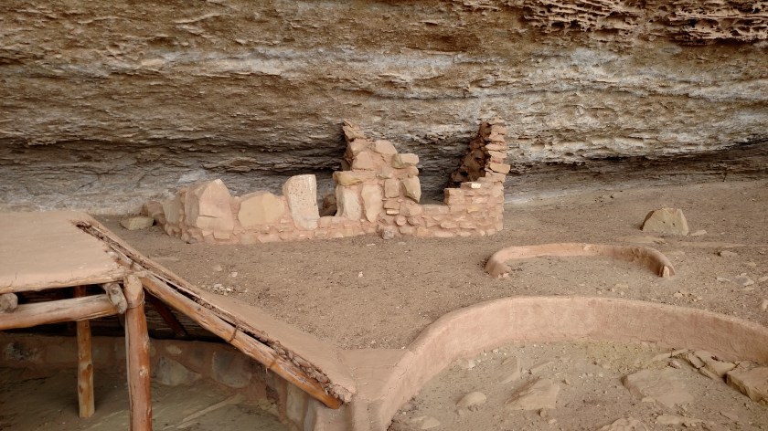
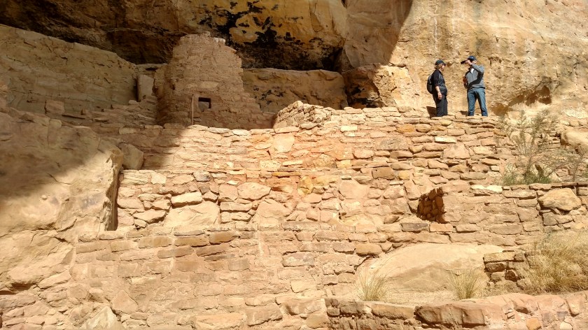
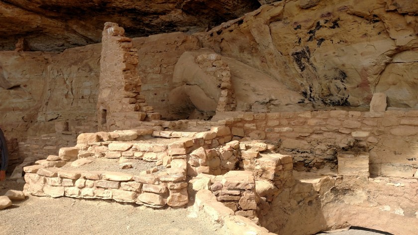
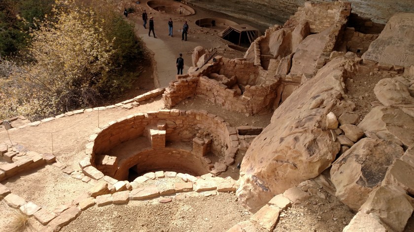
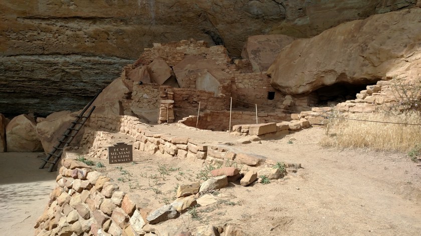
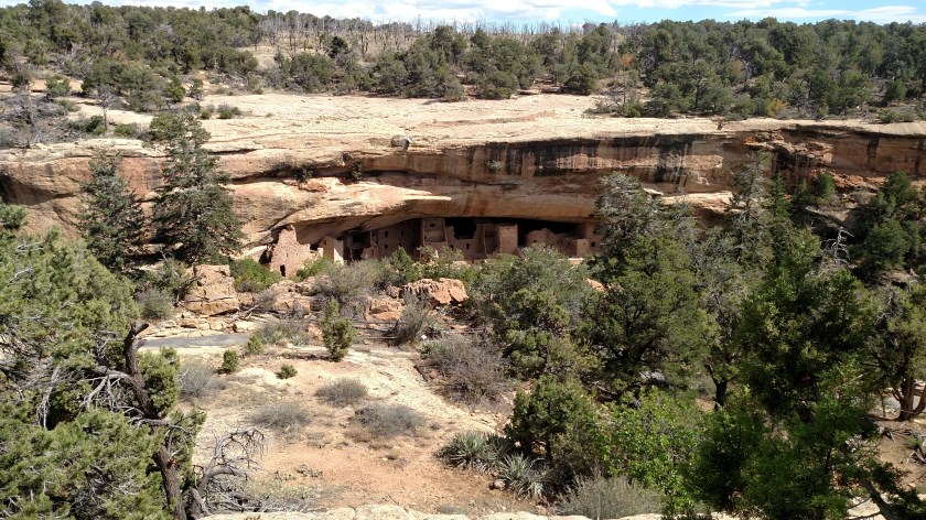
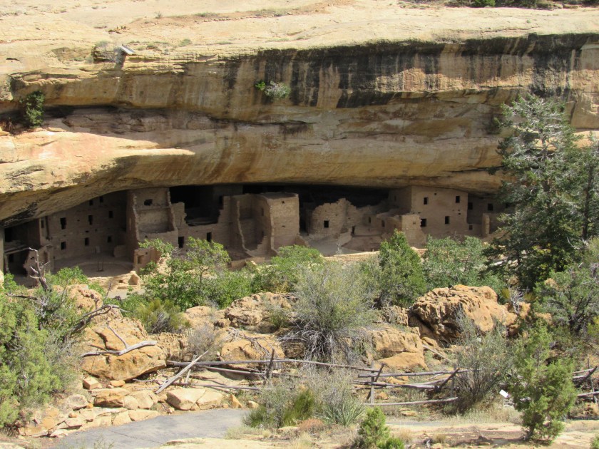
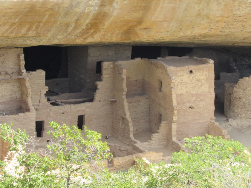
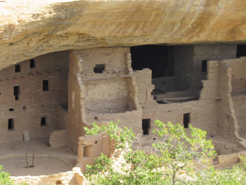
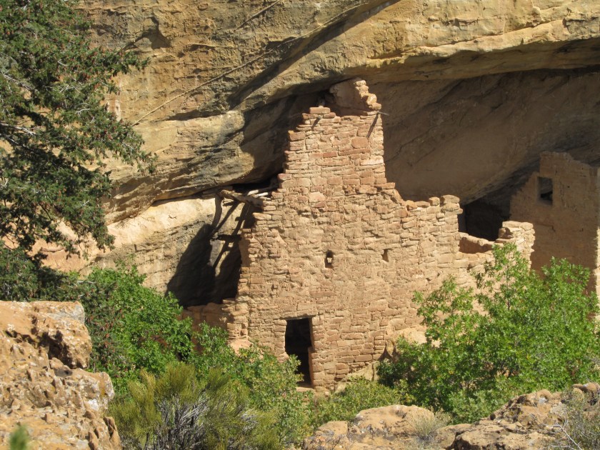
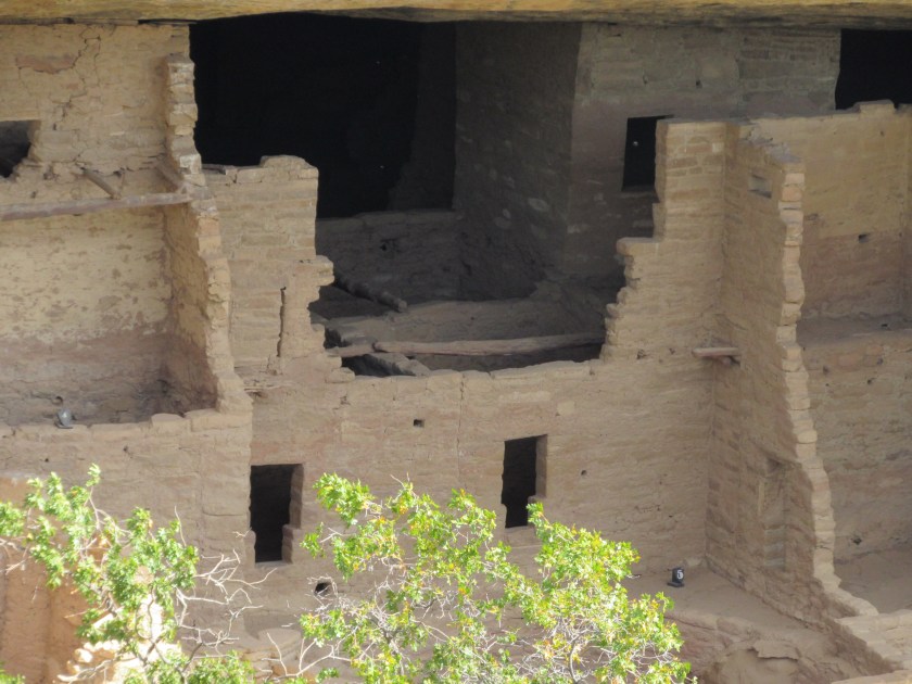
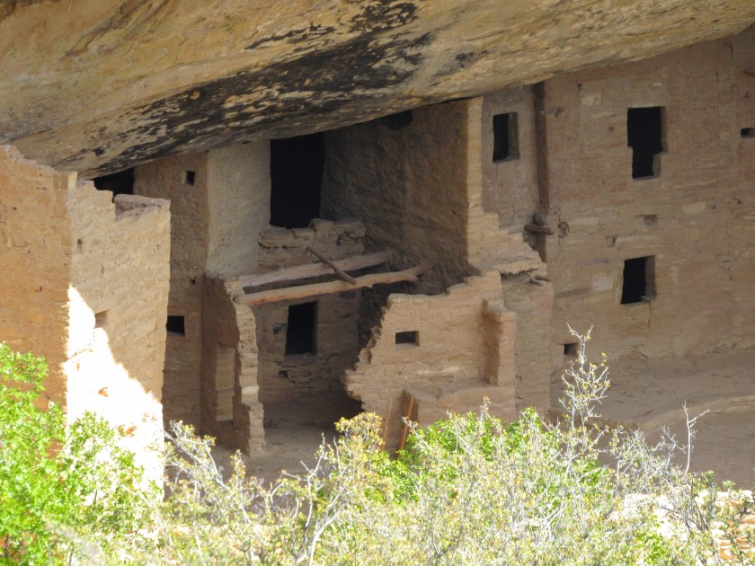
Sunday I spent the whole day at Mesa Verde.  The rain from Saturday moved away and the day started out completely clear, although some scattered clouds developed during the afternoon.  It was still quite windy, although most of the Park is above 7,000 feet so that may always be the case.

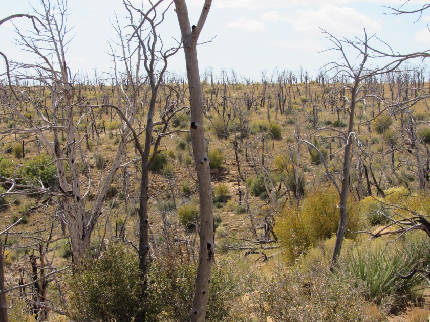
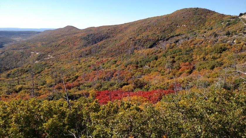
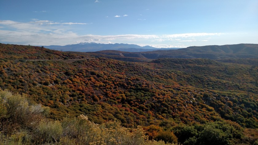
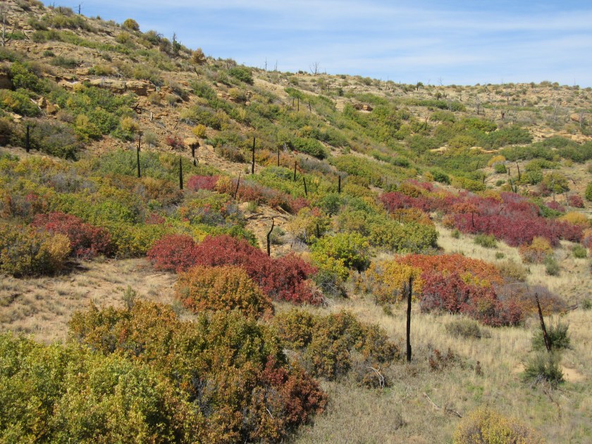
One of the first things I noticed as I drove through the Park were the fall colors.  Because of all the forest fires there aren’t that many tall trees, but there are a lot of shrubs and bushes on the hillsides and in the fields and they put on quite a show.  Not the brilliant colors that one might see in New England or other places, but impressive nonetheless.  These are more subdued shades of golden yellow, burnt orange, red, and reddish brown.

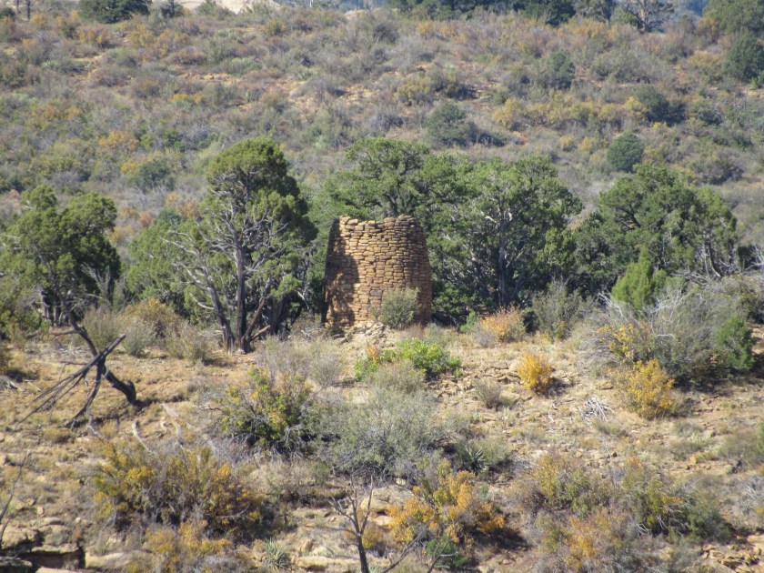
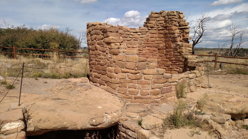
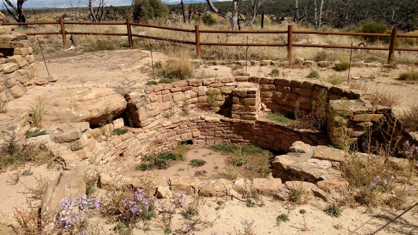
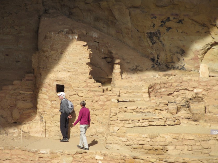
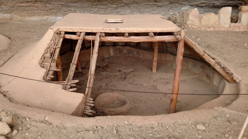
There are other things I saw throughout the Park which I will include in future posts but for now I’ll focus on colors:

IMG_20171001_093142517

IMG_20171001_093148503

IMG_20171001_093321873

IMG_20171001_123540880

IMG_20171001_123553150_HDR

IMG_0373

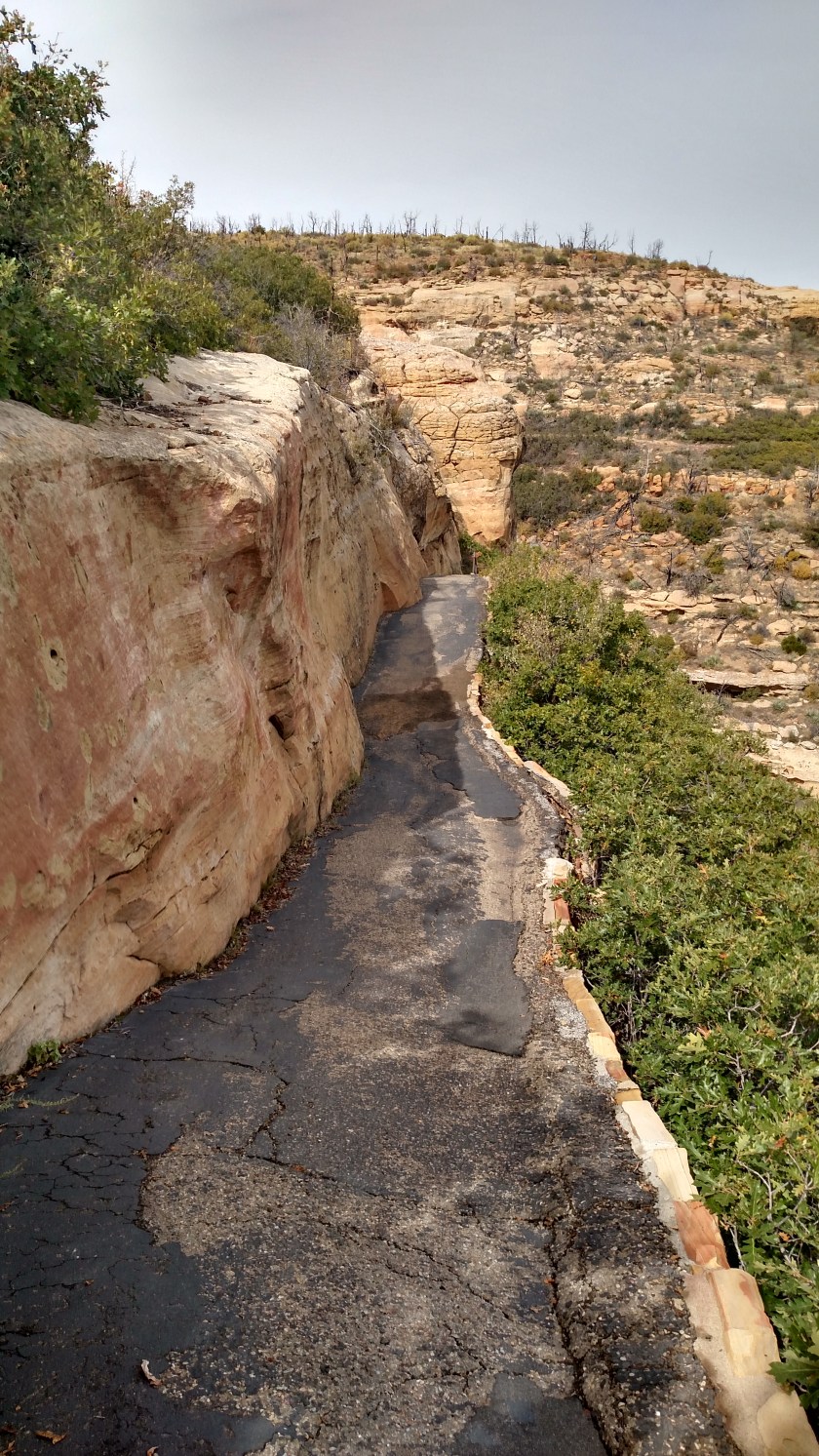
And there was one more colorful thing I saw today.  As I was beginning my descent to the Step House cliff dwelling I saw a black wasp with red wings!  It was quite a sight and I was very surprised.  It landed on a plant near me briefly but I couldn’t get the camera out quickly enough to get a picture.  I saw it a second time but it was in flight.

It was quite large and the body was jet black.  The wings were red or orange and it was quite an attention-getter when in flight both because of the size and the color combination.  When I got home I found this photo online:

TarantulaHawkWasp bugguide.net

(Photo credit:  bugguide.net)

It is called a Tarantula Hawk wasp and is a predator of, you guessed it, tarantulas.  It is a good thing it didn’t sting me because apparently the sting is quite painful to humans.  They normally don’t bother humans unless provoked and although I would have liked to have gotten a nice picture of it I certainly wasn’t planning to harass it.  It was really quite beautiful.  I have never seen one before but I hope I do again.

Mesa Verde – Towers

There are several types of towers at Mesa Verde National Park, each with a purpose.

This is Rock Canyon Tower.  I will first show you where it is (on the other side of Rock Canyon from where I am standing) using my amazing JohnBoy finger-pointing technology:

IMG_20171001_110044112

IMG_0336

IMG_0337

It was a watchtower or signalling tower, to watch for enemies or other threats and they were often built at strategic locations so messages could be relayed to people in other locations.  There was also a small cliff dwelling on the hillside below the tower, perhaps to house the sentinels.

********

This is Cedar Tree Tower.  It is on ground level, on the Chapin Mesa and is away from everything else and exposed to the elements.  There is also a kiva (the ceremonial circle) next to the tower and a tunnel connecting the two. Kivas are often found next to towers.

Perhaps this was an outdoor “theater” where ceremonies or rituals were held.  The tower may have been to elevate an authority figure and the tunnel may have allowed that person to get to the kiva without being seen.

IMG_20171001_131254468

IMG_20171001_131327199

IMG_20171001_131332991

IMG_20171001_131339738

IMG_20171001_131358825

IMG_20171001_131401817_HDR

********

And then there are fire towers.  Almost 75% of Mesa Verde National Park has been affected by fire at one time or another.  The largest, the Bircher Fire in 2000, destroyed over 22,000 acres.  Thankfully most of the others were significantly smaller, each less than 5,000 acres.  This was the area near Cedar Tree Tower:

IMG_0392

And this is one of the three fire towers in the Park.  There is a main tower at the highest point which is completely enclosed.  My guess is that this open tower may only be used when there is a problem brewing on this side of the Park:

IMG_0393

********

This is the main fire tower, located atop Park Point at 8,572 feet.  It affords Park Rangers a 360 degree view of the area and has the necessary tools to calculate where a fire is, although modern GPS technology is probably put to use to provide a precise location once they know approximately where to send a ground crew or reconnaissance aircraft.

IMG_20170930_125759966

IMG_20170930_130706283

Mesa Verde – Step House

This is the one cliff dwelling which was still open for a self-guided tour (and was a reasonable walking distance from the parking lot.  I don’t do hikes over a mile in length).

This was the first view I had of Step House:

IMG_0349

To give you some orientation – my car is parked up on the mesa at the level of the trees at the top of the photo.  From the parking lot I looked east and the dwelling was over the cliff, below me (at a lower level, not under my car).  From the vantage point I took this picture from I would walk further away from the cliff (to my right/rear as seen from here) then double back and walk down a path constructed by the CCC back in the 1930’s and enter the dwelling from the left as seen from the front.  I would exit from the right and take another path and series of switchbacks to get back up to the parking area.  The total walking distance (both the entry and exit paths) was about a mile.

IMG_0348

IMG_0347

And here we go….  This was after I turned at the switchback and started taking the path down to the dwelling.  The switchback is where I saw the Tarantula Hawk wasp shown in the first post of the day.

IMG_20171001_112621761_HDR

Then down these stairs:

IMG_20171001_112806744

And along more pathway to get to the dwelling:

IMG_20171001_113017122_HDR

Once I got to the dwelling there was a ranger there to answer questions about what I was seeing.  My first question was, before the nice path that the Civilian Conservation Corps built, how did the people who lived here get in and out?  He pointed out the original “steps” (which is why they call this Step House).

IMG_20171001_115721371_HDR

I know it looks like I was holding the camera crooked but keep in mind that the cliff roof curves out over the dwelling and over open space.  I assure you, this is with the camera held straight.  The sign at the bottom right of the photo shows that I am standing upright.

The first things I saw upon getting to the dwelling were two open pits and one pit house.

IMG_20171001_114118607

IMG_20171001_114145848

The pit house is like the one Casey, at Canyon de Chelly, had built a miniature of.  It would have been completely enclosed and accessed by a ladder through the hole in the roof.  The ranger told me that there was evidence of logs and other material in this pit which is why they surmised that it had been a pit house.  The roof, as well as the walls on all three pits were reconstructed with the help of folks from National Geographic and a team of archeologists.  The other structures in the dwelling are pretty much as they were found.  There was actually some debris (collapsed walls, etc) which was cleared away and used to help shore up the paths built by the CCC.  Some of the remaining walls may have been reinforced for safety, but other than that everything else is original.

IMG_20171001_114156552

IMG_20171001_114215811

This was after climbing the ladder and was looking back at the three pits.  The ranger is at the left of the photo below:

IMG_20171001_114745819

And this ladder wasn’t all that long.  The one I had to climb down on when I was visiting a cliff dwelling in New Mexico back in May was maybe three times longer and, while sturdy, was a little more intimidating.  Other dwelling tours at this Park involve climbing multiple ladders, like this but longer, as well as crawling through tunnels and going through narrow holes and passageways.  They also required longer hikes to get there, which is why I wouldn’t have done them anyway.  Some of the dwellings at this Park are closed for the season, or for special functions or safety reasons.

IMG_20171001_114821337_HDR

IMG_20171001_114938277_HDR

IMG_20171001_114941971

IMG_20171001_115109338

IMG_20171001_115119620

IMG_20171001_115207913


Mesa Verde – Spruce Tree House

This is not a tree house, it is a cliff dwelling located near the Chapin Mesa Archeological Museum in Mesa Verde National Park.  Normally this cliff dwelling would be open for self-guided tours, however the Park has signs up that due to “Rock Fall Hazards” the trail to the dwelling is closed.  Given the unfortunate events at Yosemite National Park in California over the last few days (a tourist killed and several others injured by falling rocks) the Park Service isn’t taking any chances.

There is a parking area off the main road and there are several buildings including a gift shop and snack shop (where I had a great lunch at a reasonable price) and the Archeological Museum.  The photos below were taken from behind the museum, at an overlook which allowed me to view and photograph the dwelling without actually going over to it.  It was maybe 200-300 feet away.

The Spruce Tree House consists of 130 rooms and 8 kivas (the round, largely ceremonial areas).  It is believed to have housed as many as 25 families of Ancient Pueblo People.  That seems to be a general classification for people before Indians began establishing tribes.  One-level cliff dwellings soon gave way to multi-level dwellings and eventually multi-story dwellings like this one.

IMG_20171001_135428028

IMG_20171001_135436976

And since I couldn’t go see the dwelling up close I used the digital camera to zoom in and get some close-up shots:

IMG_0395

IMG_0396

IMG_0397

IMG_0398

IMG_0399

IMG_0400

IMG_0409

IMG_0410

And zoomed in even a little closer of some specific areas to try and show some of the detail:

IMG_0403

IMG_0404

IMG_0405

IMG_0406

IMG_0408