Durango, Colorado

My day on Friday didn’t go exactly as planned.  I had an 830 appointment to get my new tires put on the car.  I got there early and they were finished by 845.  So far, so good.  I then had a 10 o’clock appointment at another tire shop (I’ve never understood why Discount Tire doesn’t do alignments.  I guess they want you to buy more tires!).  Well, that shop discovered that I needed a wheel bearing in the right rear wheel (they took me out in the shop bay to hear the difference between it and the other rear wheel when they were spinning.  I know from listening to Car Talk on NPR that you don’t put off getting wheel bearings).  They had to order, acquire and install the part before they could complete the alignment (which the car badly needed).  So that ate up 3 hours of the day and I cooled my jets by walking to the Durango Mall, about a half mile away, shopping or browsing at JC Penney, TJ Maxx (oh boy), where I did get a good deal on a 2nd, smaller backpack, and Bed, Bath and Beyond (one of my favorite stores, although I only bought one thing as a Christmas gift for someone).  On the way back to the shop I ate lunch at a restaurant and took my food outside to sit at a table overlooking the Animas River.  It was a very nice day until the rain hit around 330pm.

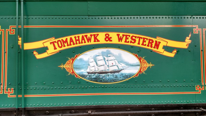
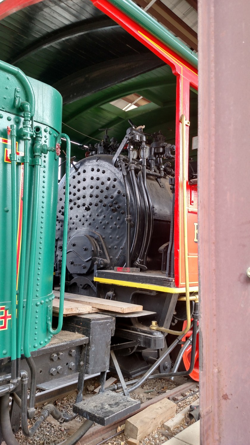
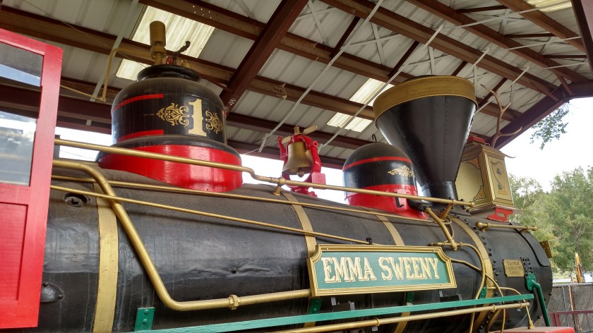
I had been planning to spend the afternoon at Mesa Verde National Park, about 35 minutes west of Durango, after the wheel alignment, which I had assumed would be done by 11.  I decided instead to stay in Durango and do the 230pm Yard tour at the Durango-to-Silverton Railroad which I will be riding on Monday.  When I was on the Chama train about a week and a half ago someone told me that if you have a ticket for the Durango train the Yard tour is only $5 and you get to see lots of behind-the-scenes stuff.

While I was on the Yard tour a huge thunderstorm arrived in town (I was hoping it would pass north but it managed to hit downtown).  Other Airbnb guests where I am staying had taken the train ride today and when they got home last night they said that they got dumped on and that there was a substantial amount of hail north of town, which blanketed the ground and was quite thick in places.  I bailed out of the Yard tour early (it was just about done anyway) and got to my car just as the rain was about to hit.  It wasn’t raining where I was staying about 10 miles south of town so I went home and took a nap!

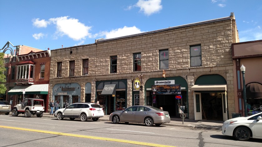
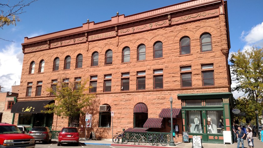
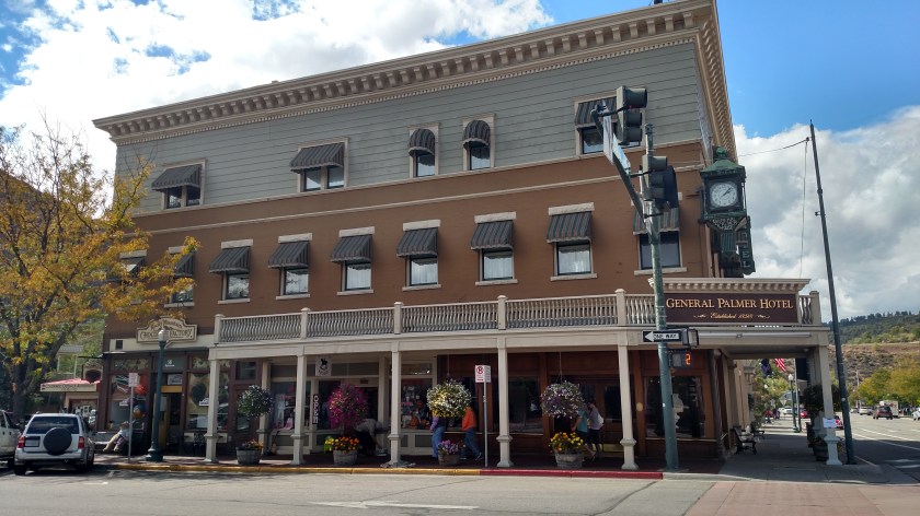
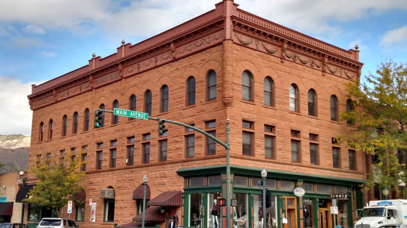
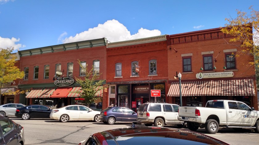
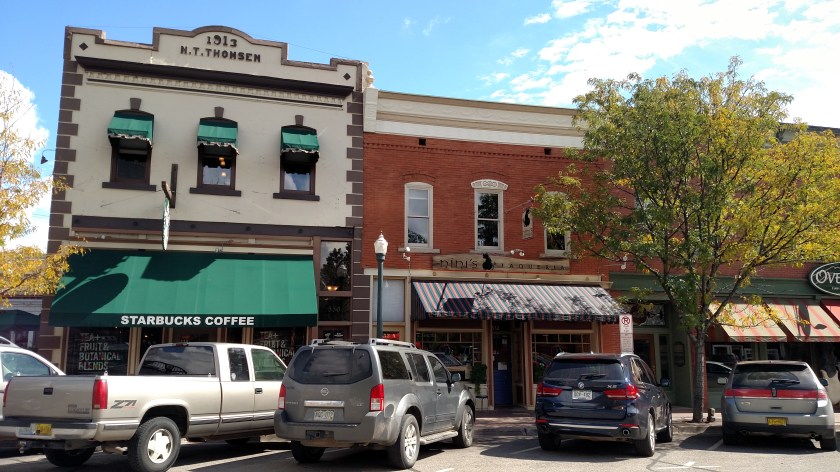
When I learned on Wednesday that I had a gash in one of my front tires I stayed close to home until they were replaced and was in downtown Durango for parts of three days.  Here are some of the things I saw as I walked around town:

IMG_20170928_095117972

IMG_20170928_102343235_HDR

The rocking chair in the photo below was in the Visitor Center in town and was actually very comfortable.  I have the name of the local craftsman who made it if you want to order one.

IMG_20170928_102542684

This bronze statue was across the street from the Visitor Center, outside a small downtown mall.

IMG_20170928_104339027_HDR

This Darth Vader model was inside the window display for a “Head Shop” (marijuana is legal in Colorado).  He carrys a condom in a pouch on the necklace (never noticed that in the movies…).  Glad to know he practiced safe sex.  We don’t need any “little Darth’s” running around.

Did you know Darth Vader was married?  He wife’s name was Ella.

IMG_20170928_104444743_HDR

IMG_20170928_104830124

IMG_20170928_104841834

IMG_20170929_134810422_HDR

IMG_20170929_134841389_HDR

IMG_20170929_134938686

And the stuffed bear outside THIS Rocky Mountain Chocolate Factory store is clearly a Denver Broncos fan:

IMG_20170929_135034001

IMG_20170929_135304982

IMG_20170929_135908376

IMG_20170929_140726603_HDR


Shiprock

Monday I drove west across northern New Mexico from Taos.  In northwest New Mexico there is a town called Shiprock, named for the rather imposing mountain which rises almost 1,600 feet above the desert about 10 miles west of town.  The mountain sits off by itself and is an impressive sight.  On Monday I turned right when I got to the town of Shiprock to head north to Cortez, Colorado where I was going to spend the night.  I could see the mountain off in the distance but the sun was on the opposite side so all I saw was a silhouette.

These were taken on Tuesday morning as I drove around the mountain clockwise from the north to get to Canyon de Chelly National Monument which is located southwest of Shiprock in northeast Arizona.  These were taken from different vantage points, each offering slightly different views and shadows from the rising sun.

Shiprock used to be a popular destination for mountain climbing enthusiasts, but after a death there in 1970 the Navajo Nation, on whose land it sits, banned all climbing and vigorously enforces that ban.  Their strong religious and cultural beliefs concerning death caused them to take that action.

From what I’ve gathered in my travels, an Indian reservation can be quite large, like a county or counties within a state (and may overlap states).  The governing body within that reservation is a Nation (Navajo Nation, Apache Nation, etc.), and in some states they even have their own license plates.  The actual towns where they live are called Pueblos.

This was one of the first closeup views I had without any clutter or hills in the foreground.  This was from pretty much due east of the mountain so there aren’t many shadows visible from this vantage point.

IMG_9568

IMG_9570

As I drove around the mountain, more shadows became visible.

IMG_9588

IMG_9589

IMG_9590

IMG_9591

And from even further around:

IMG_9610

IMG_9612

IMG_9615

And this was looking back at Shiprock as I climbed (in the car!) the Roof Butte, which at  9,784 feet dwarfs the mountain which “only” tops out at 7,178 feet.  I was now west of the mountain so it is in silhouette.

IMG_9681


Canyon de Chelly – Close-ups (3/3)

These were all taken using the digital camera on Tuesday at Canyon de Chelly National Monument near Chinle, Arizona.  These were all taken at the first overlook I stopped at as I approached the Monument from the northeast.  There will be more pictures from other overlooks posted in the coming days.

IMG_9795

IMG_9803

IMG_9805

While some of the following photos might appear to have been taken from a greater distance if viewed alone, these were all what I saw down by my feet where I was walking!  It doesn’t look like this everywhere I’ve been but this particular spot was noticeable.

IMG_9814

IMG_9815

IMG_9816

IMG_9817

IMG_9819

The yellow and reddish striped rock below is about the size of a microwave oven.

IMG_9830

Aztec Ruins National Monument (1/2)

Thursday was kind of a slow news day.  It didn’t rain, and temperatures were much more pleasant so I tried to spend much of the day outdoors.  It started off cool but warmed up to the upper 60’s by early afternoon.  I didn’t want to venture too far from Durango until I get new tires put on first thing Friday morning.  I went in to Durango in the morning, walked around town a good bit and had lunch.  I went back to the house (about 10 miles south of town) and dropped off some maps and materials I will need later, then headed about 20 miles further south to the little town of Aztec, New Mexico (I am staying in Colorado but am very close to Four Corners so 3 other states are close by).  I toured the Aztec Ruins National Monument, then went back up to Durango to spend some time relaxing and people-watching in their city parks, many of which were along the Animas River and had a paved walking/bike trail.  Lots of folks out walking, jogging and biking (schools were out by late afternoon).

********

The Aztec Ruins are located in Aztec, New Mexico.  Aztec was the name of the village and was NOT built or occupied by the Aztec Indian Tribe of central Mexico, which is what I would have assumed.  This village was constructed from the late 1000’s to the late 1200’s and was modeled after the villages at Chaco Canyon, which I visited earlier in the week.  Chaco is about 55 miles south of Aztec.  The villages there were thought to have been built between 850 and 1130.  The buildings here were constructed of different types of rock than those at Chaco Canyon.

And a big reason why ruins are ruins is that after these villages were abandoned, people from other groups came and pilfered the materials to build their own villages.

Aztec Ruins was declared a National Monument by Congress in 1923.  In 1987 is was declared a World Heritage Site due to it’s cultural significance.

IMG_20170928_131127977

IMG_20170928_131142900

IMG_20170928_132421142

IMG_20170928_132423997

IMG_20170928_132427479

Kind of hard to tell from the picture but in the photo below the window (or doorway) in the upper left hand corner of the photo was actually built into a corner where two walls intersect, a novel concept for when these structures were built.

IMG_20170928_132835977_HDR

IMG_20170928_132907259

IMG_20170928_132946072_HDR


Aztec Ruins – Great Kiva (1/2)

This restored Kiva is one of the main attractions at this Monument.  This was used for various religious ceremonies.  There were signs stating that this was a sacred place, and that we should be quiet and show proper respect.

This photo on the official US Park Service brochure/map (which I get at every Park and Monument I visit) shows the ruins from overhead.  The Great Kiva is the large, round structure in the lower center of the picture. I entered at the bottom and exited in the square room at the top, as seen in the photo:

IMG_20170928_155234619

This map was in the booklet each visitor was loaned, to use while touring the site and explaining what we were seeing at the various numbered stops.  The Visitor Center is at the lower left and I traveled through the property in a counter-clockwise direction:

IMG_20170928_133239867


IMG_20170928_131931301

IMG_20170928_131945483_HDR

After going through the main doorway, steps led down to a lower level where the ceremonies actually took place:

IMG_20170928_132004676

The square and rectangular pits are seen in many of the photos of kivas here and at Chaco Canyon, which I visited earlier in the week.

IMG_20170928_132014974

IMG_20170928_132020688

IMG_20170928_132038374

IMG_20170928_132044119

Aztec Ruins – Great Kiva (2/2)

More photos from inside the Great Kiva, the largest round structure on the property.

One of the two rectangular depressions in the floor of the round room, one on either side of the square pit in the center of the room:

IMG_20170928_132050714

Looking up at the ceiling of the round room:

IMG_20170928_132138255

IMG_20170928_132201972

These “windows” opened up to a series of rooms at ground level which were located around the main room and were accessible from the open doorways facing outside the structure:

IMG_20170928_132222072

Branches built in to the vertical shafts supporting the ceiling:

IMG_20170928_132247756

The ceiling above the square area after taking the steps up to ground level:

IMG_20170928_132301970

A square block looking back towards the stairs leading up out of the main round room:

IMG_20170928_132327732

A little room off to the side after getting up to ground level:

IMG_20170928_132349896_HDR

Emma Sweeny

Late in the afternoon I ended up in Santa Rita Park, one of several very nice city parks in Durango.  I saw a colorful train under a canopy and assumed it was one used on the Durango-to-Silverton line (which I will be taking on Monday).  I was wrong.  This is a movie and TV star.

The Emma Sweeny appeared in the 1950 film A Ticket to Tomahawk (before my time, I was born in 1954).  This is the actual engine and coal car but a horse-drawn mock-up was used to shoot some scenes here in Durango.  That model has been acquired by a local group and is being restored and will be placed in the railroad museum.

IMG_20170928_162634833

IMG_20170928_162405632_HDR

Kind of hard to see in the picture above but note the elk antlers above the headlight in the photo below.

IMG_20170928_162439380_HDR

IMG_20170928_162508435_HDR

IMG_20170928_162531356_HDR

IMG_20170928_162541699_HDR

IMG_20170928_162556344_HDR

IMG_20170928_162601272_HDR

This engine was also used (with a different headlight and smokestack) in the opening sequence of the TV show Petticoat Junction (1963-1970).  That show I do remember….

In the show it was called the Hooterville Cannonball.  There is a town just north of Charlotte, North Carolina called Huntersville (I lived with friends in north Charlotte for 6 months in 1994 when I moved to NC from Pennsylvania).  To this day, I like to call it Hooterville.