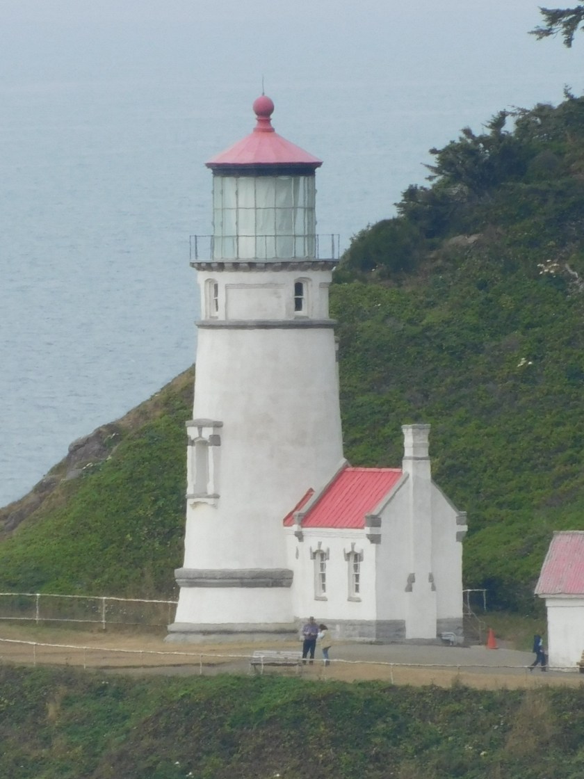
Wednesday I drove about 16 miles beyond the town of Florence, Oregon to get to this historic lighthouse. The Heceta (pronounced ha-SEE-ta) Head Lighthouse was commissioned in 1894 and is still operational. It is 56 feet tall and sits approximately 205 feet above sea level.
Here is an image from the highway as I approached the lighthouse from the south (Highway 101 rose several hundred feet above the ocean a few miles before I got to the exit but had dropped back down as you will see shortly):
Once I got off the highway I drove to the parking area at a small beach.
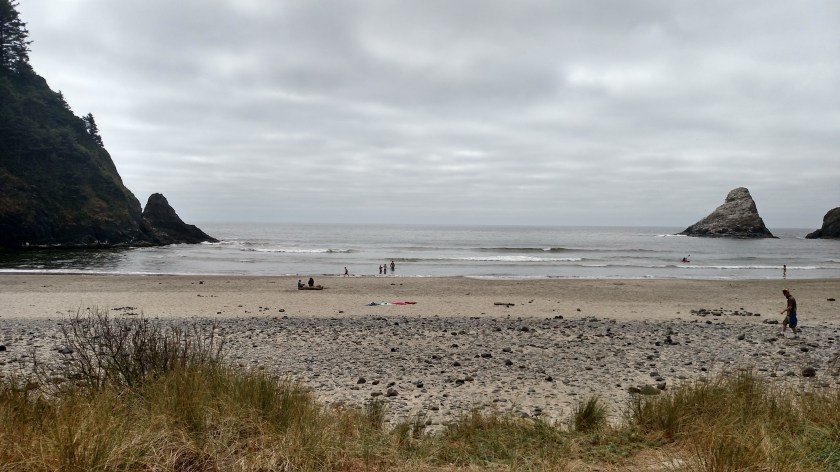
From this vantage point I could see the assistant lightkeeper’s house but not the lighthouse itself. I had to walk up a half-mile path to get to the lighthouse. Along the way was a map which shows the overlapping “coverage” area several of the lighthouses in Oregon I have shown you provides.

This lighthouse’s beam is the brightest in the state and can be seen 21 miles offshore.
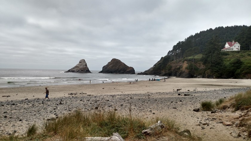
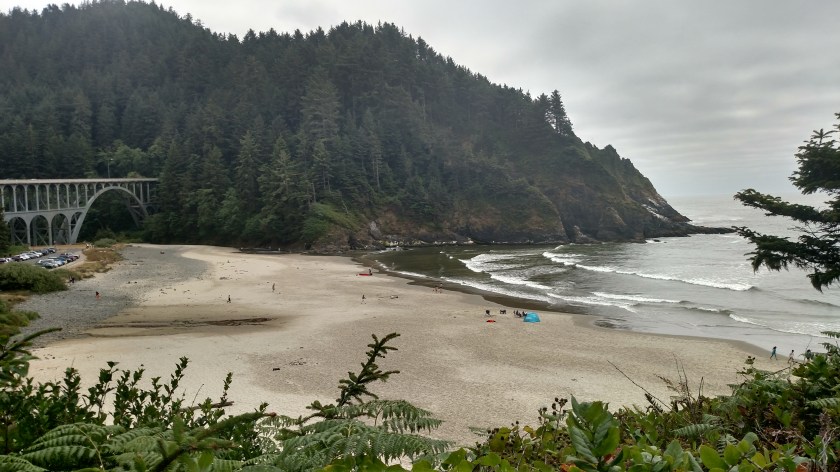
Further up the path I had a nice view looking down at the beach area where I had parked. You can see the highway bridge I crossed and then drove under to get to the parking area.
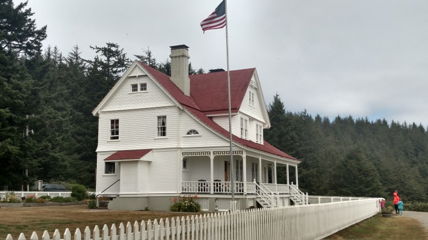
There was another sign with a photo of the lighthouse and both lightkeeper houses taken years ago before the trees got so tall.

The big house on the left is no longer standing but the smaller structure behind it is a gift shop. Here is a closer look at the house which is still standing (now a Bed & Breakfast).

I continued walking up the hill and finally made it to the lighthouse, which is similar in design to the Umpqua River lighthouse I had seen earlier in the day..

Here is the view looking south towards the coast.
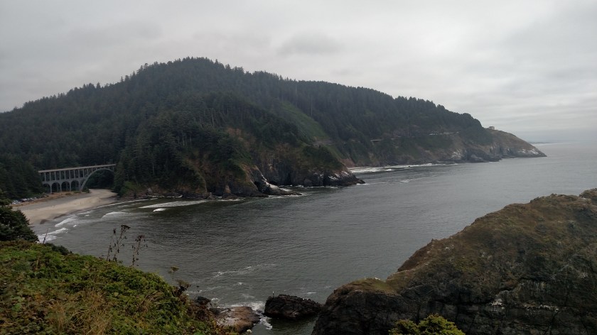
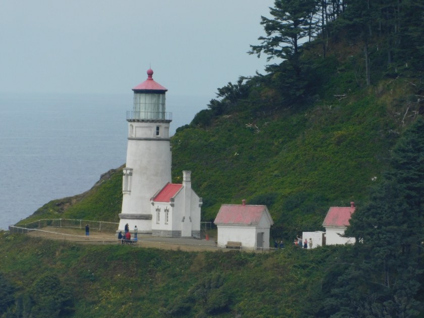
And when I left I was able to stop at a second overlook on the highway (there were tour buses there when I was driving north):