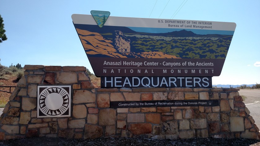
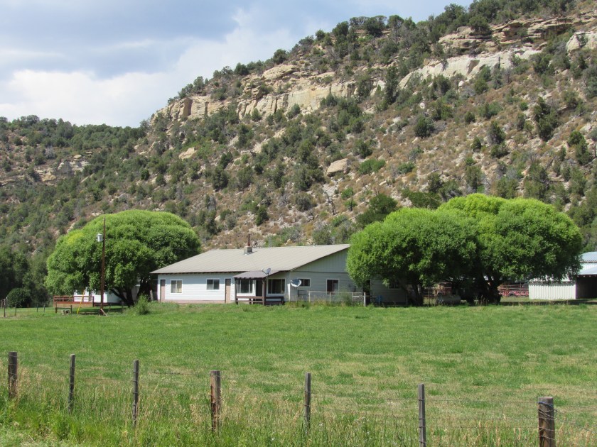
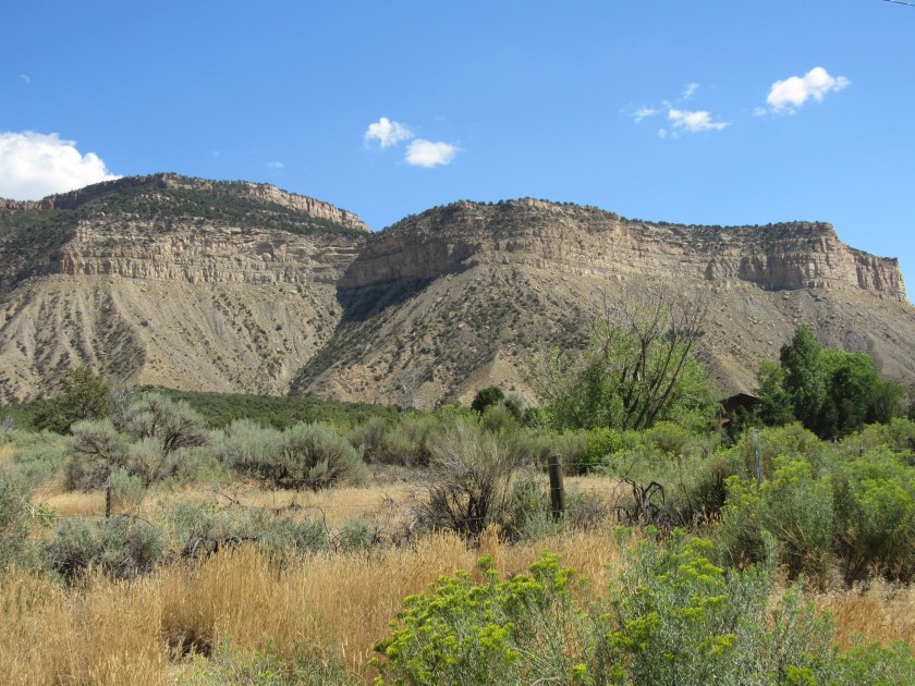
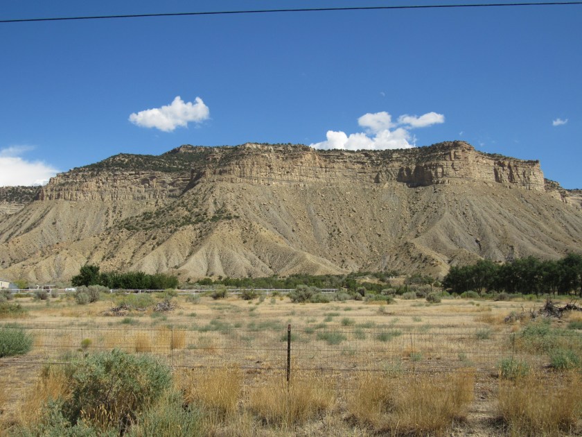
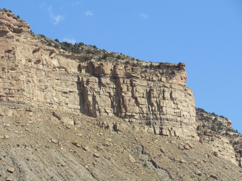
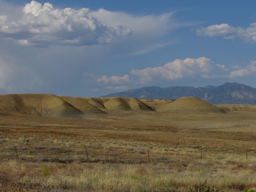
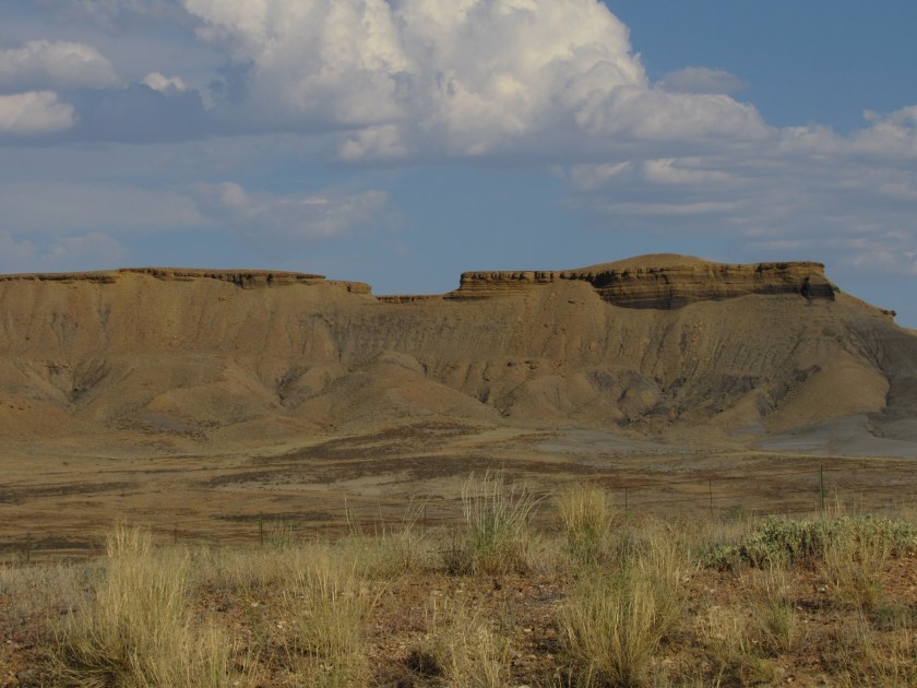
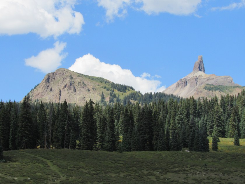
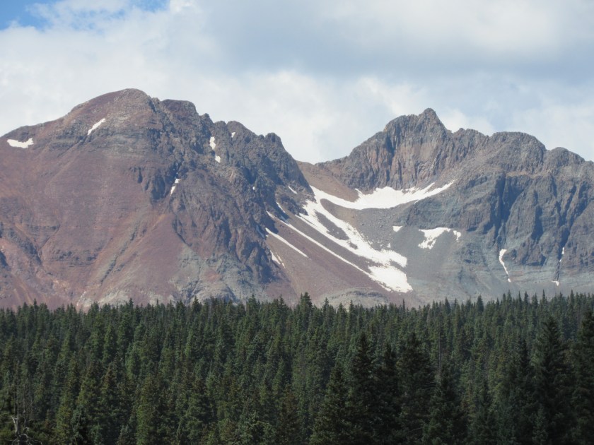
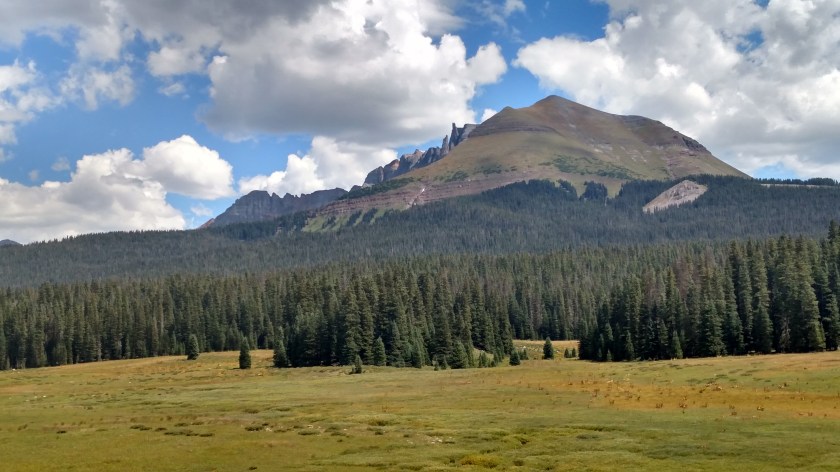
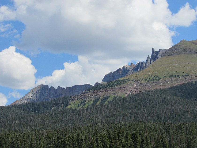
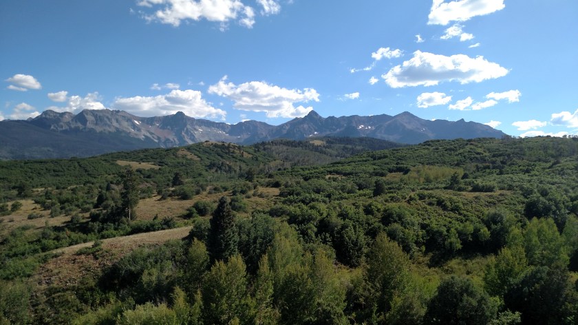
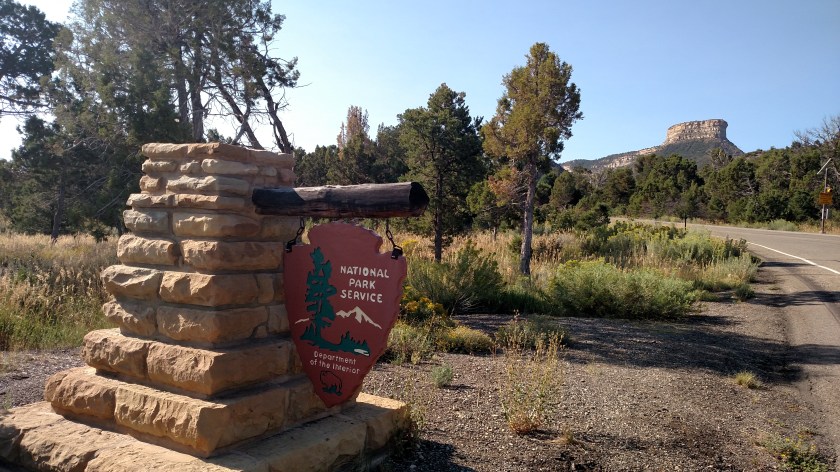
This National Park is located about a half hour west of Durango, Colorado.
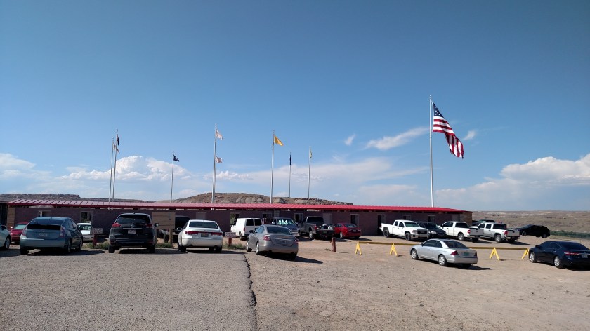
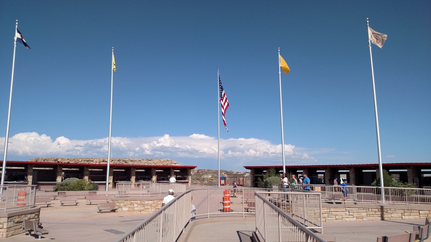
The good news is that I made it here today as planned. The bad news is that I didn’t make it past the Visitor Center. When I got here this morning I learned that the park is HUGE (it has a deceptively small footprint on the state map) and has so much to see and do that I will wait and give it the attention it deserves. I’ve added three more days to the two (train ride and Indian reservation tour) I was already planning to spend in Durango when I return in a few weeks, and will spend those extra three days here.
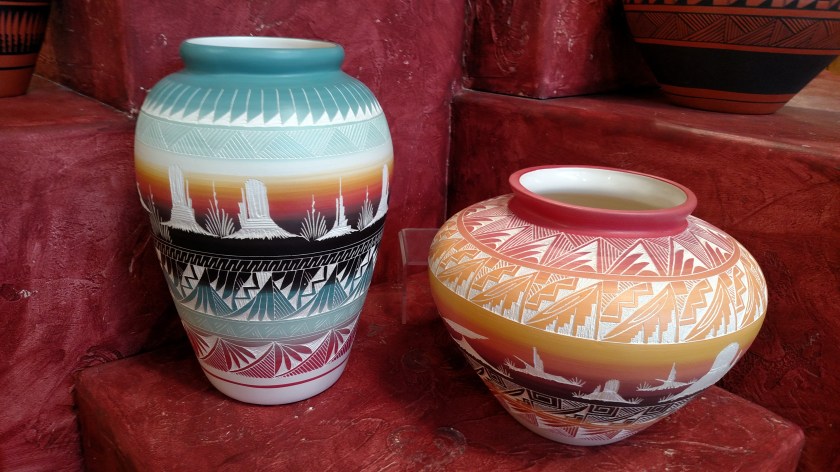
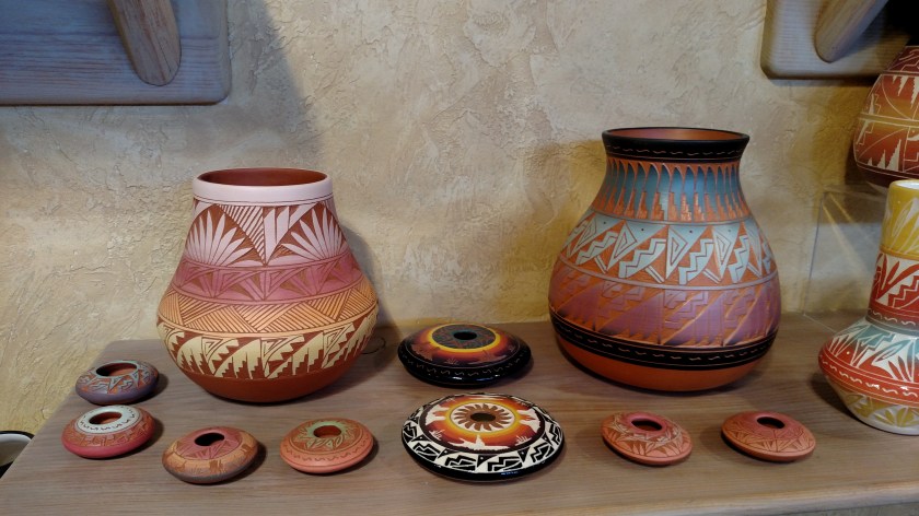
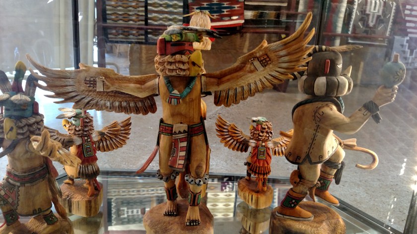
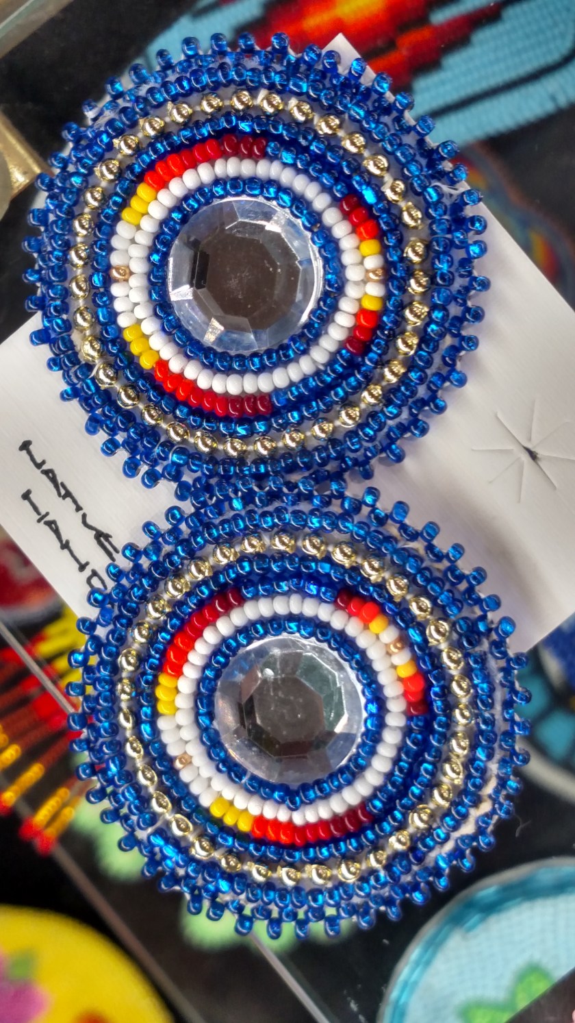
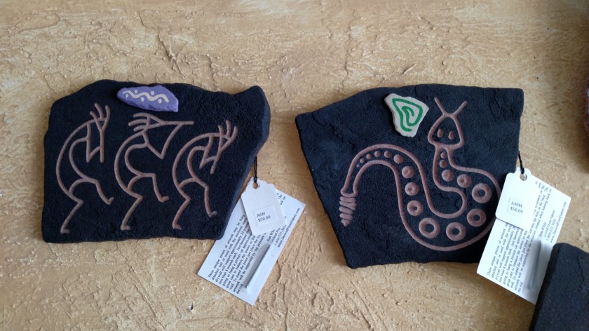
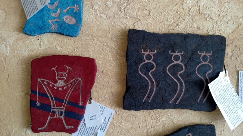
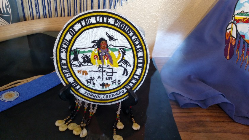
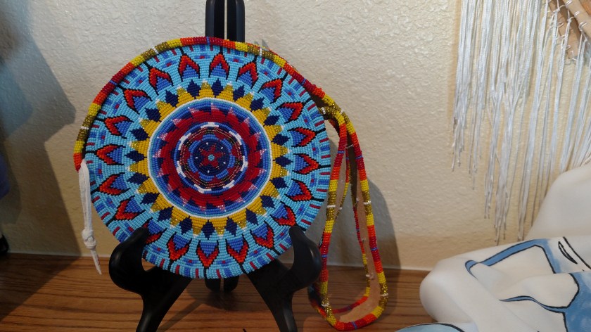
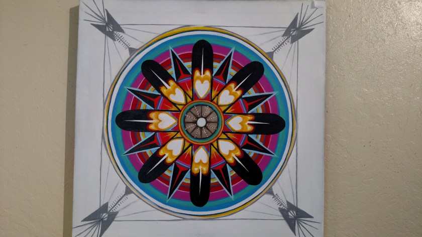
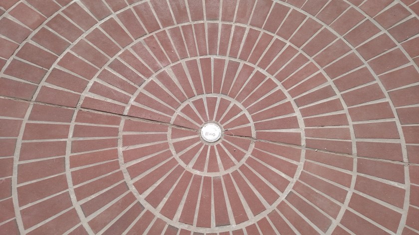
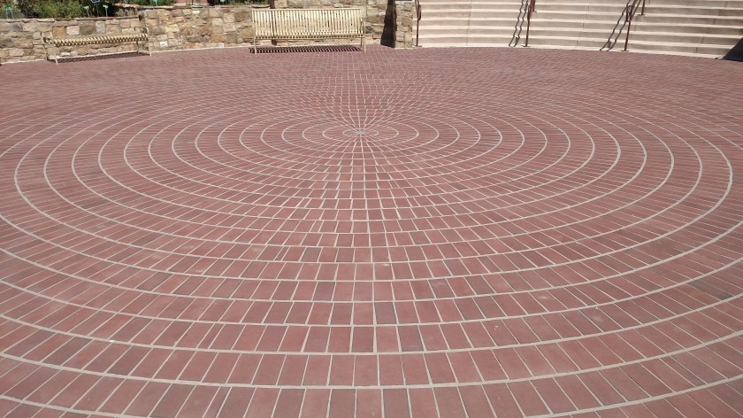
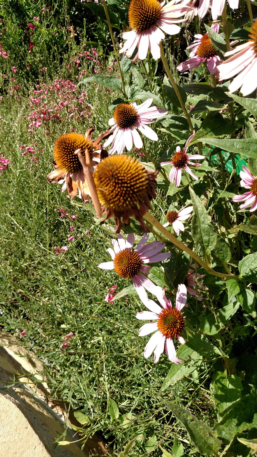
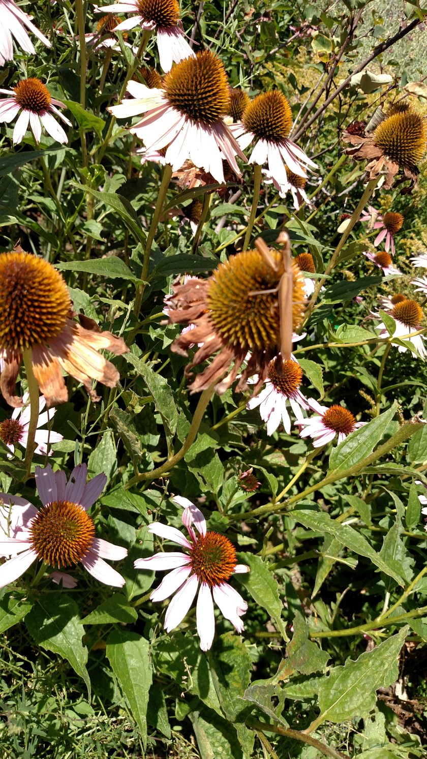
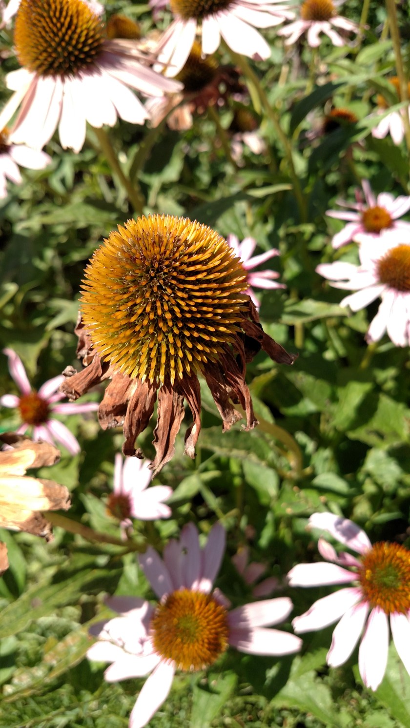
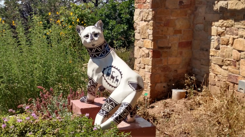
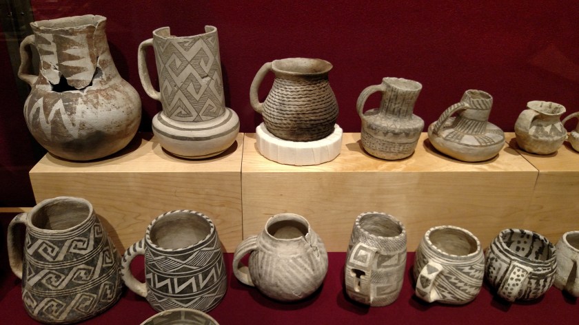
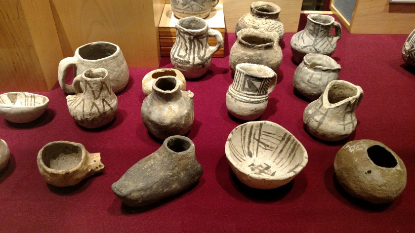
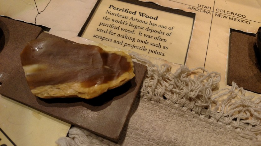
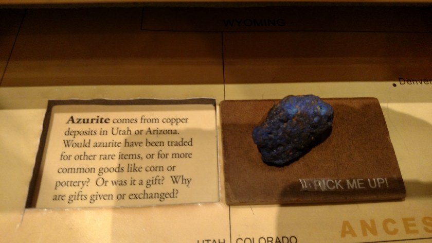
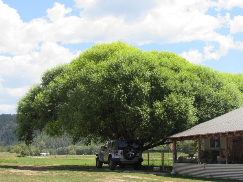
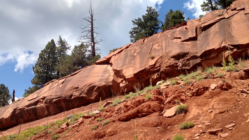
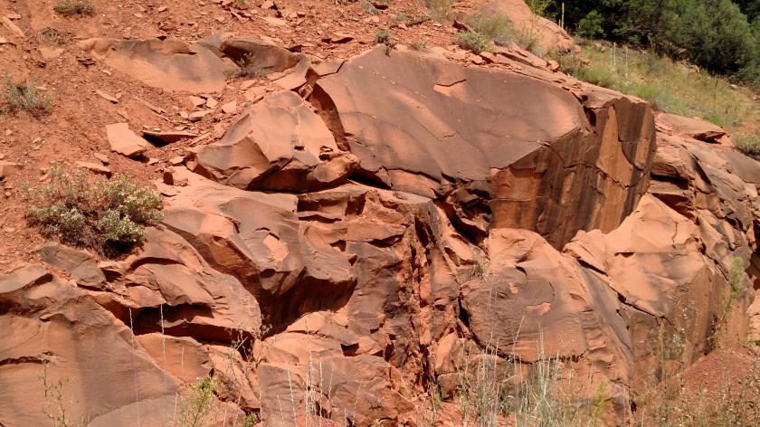
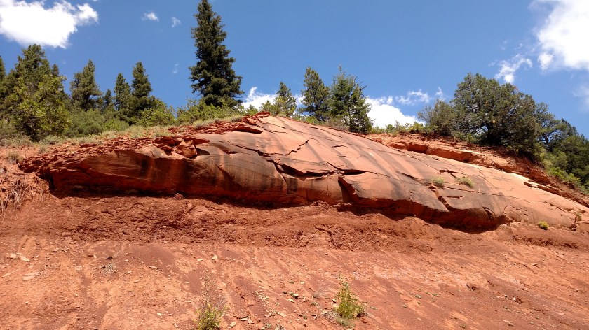
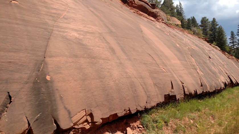
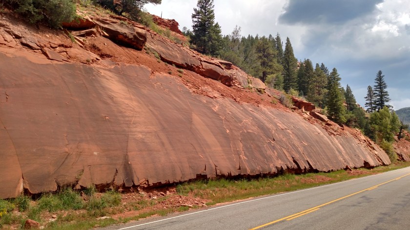
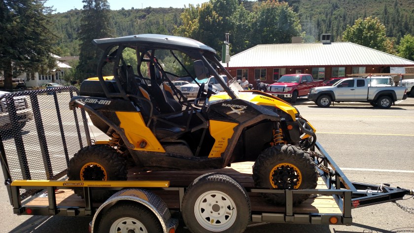
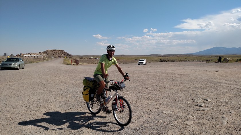
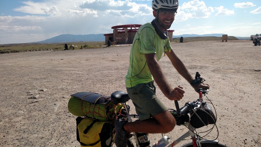
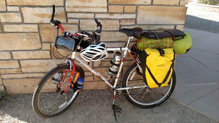
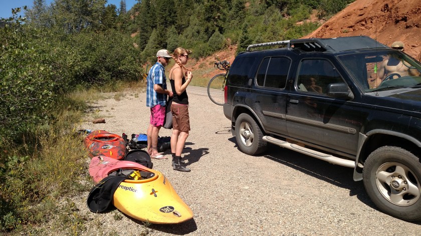
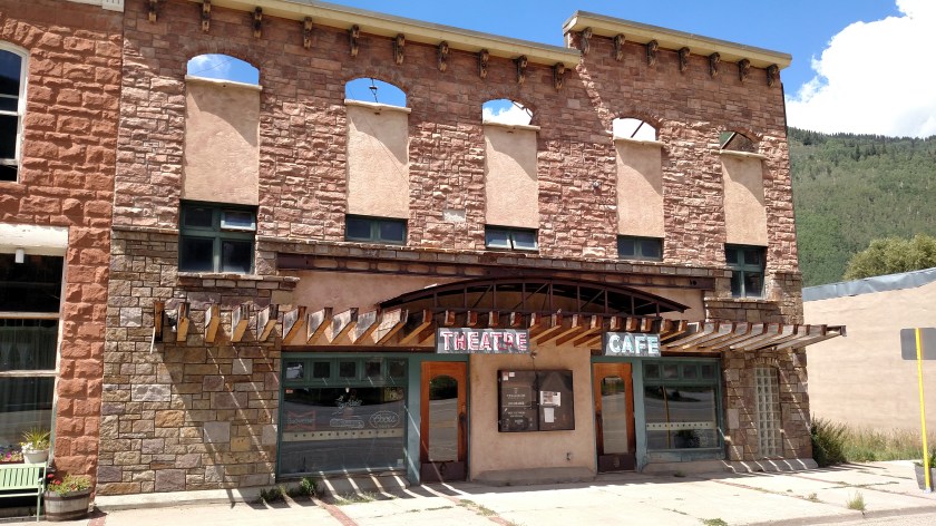
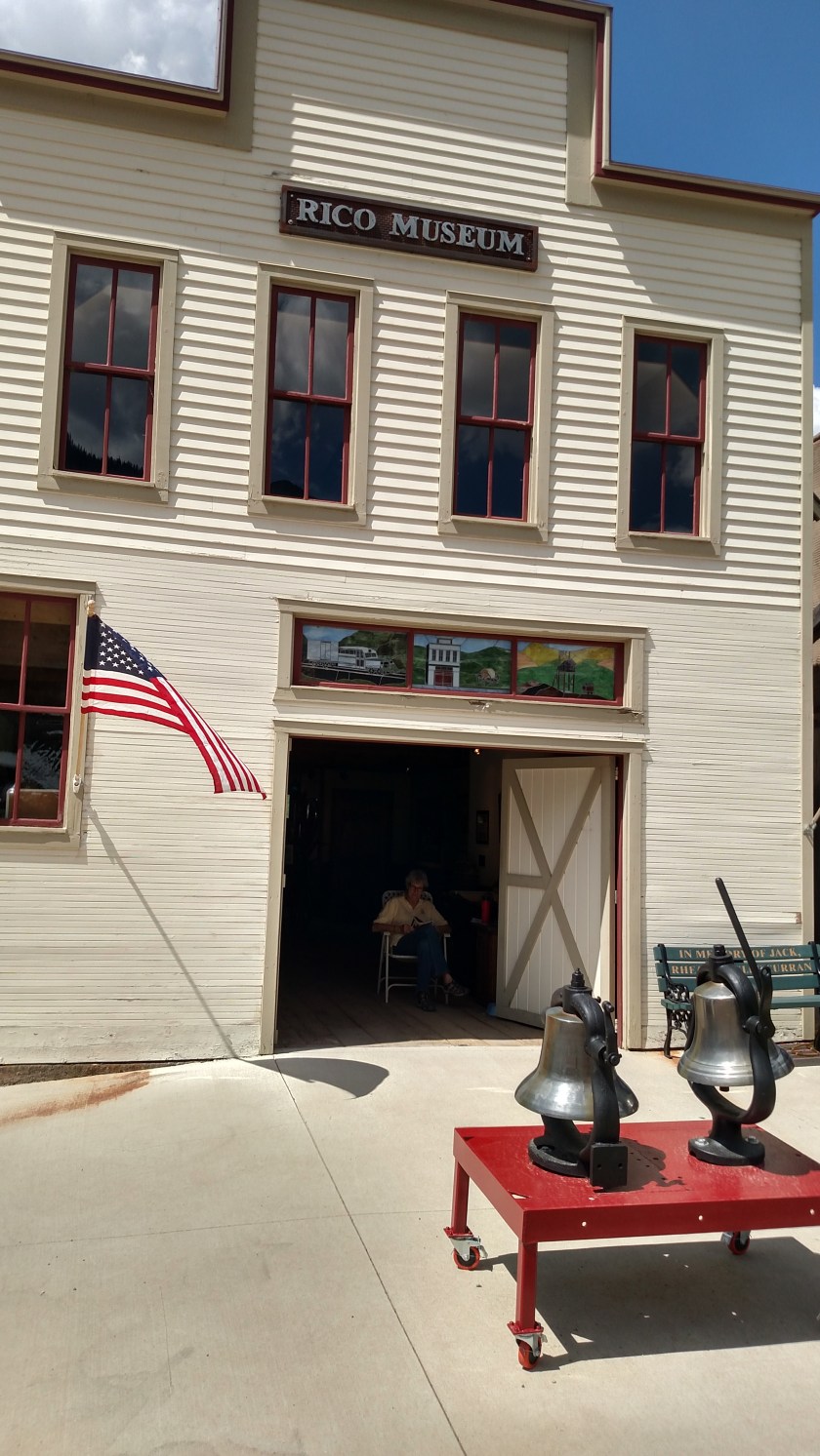
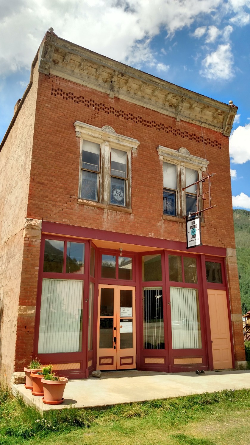
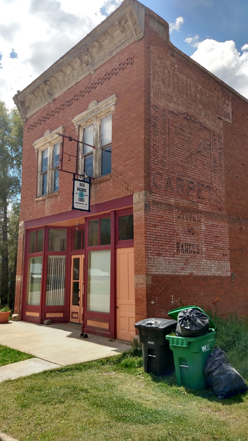
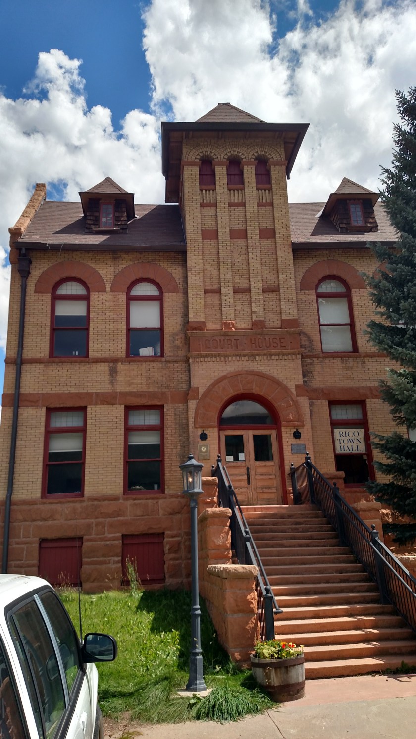
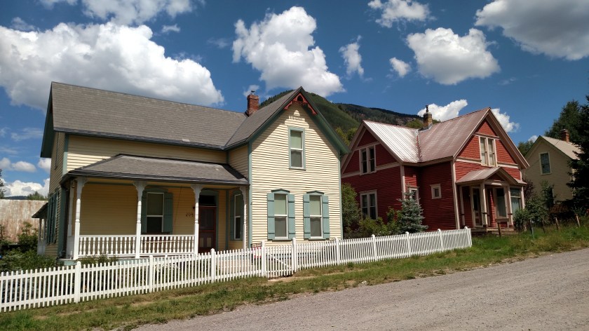
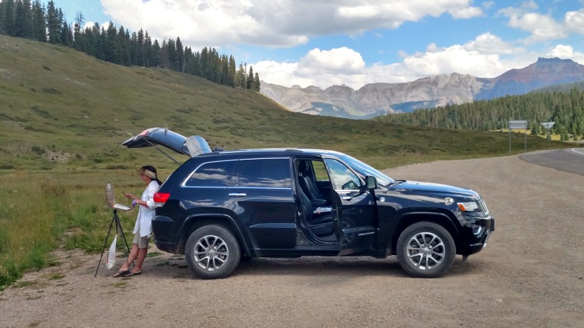
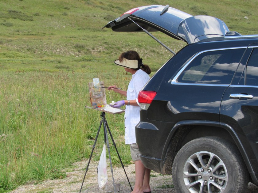
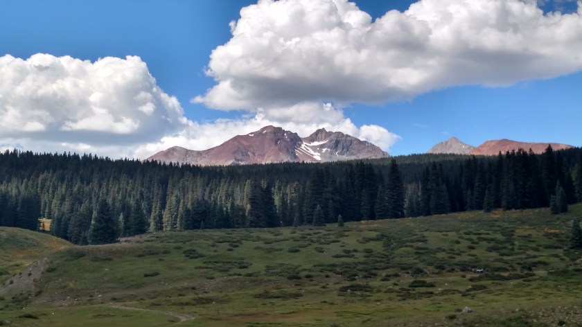
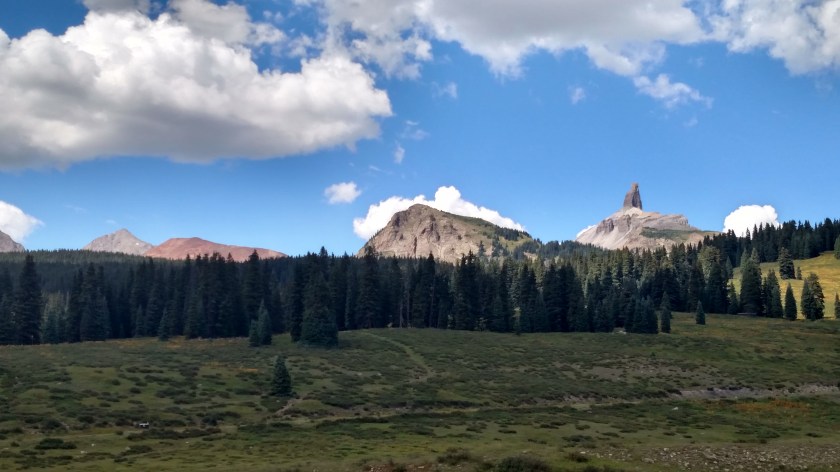
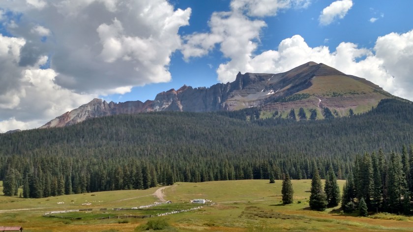
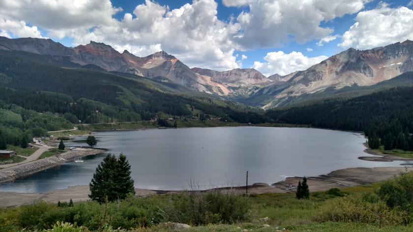
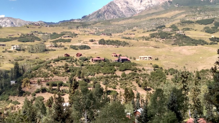
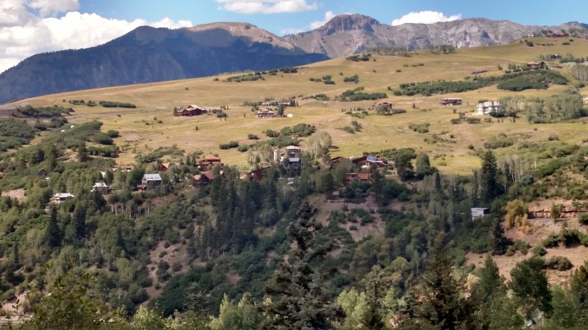
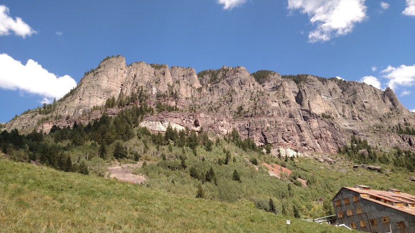
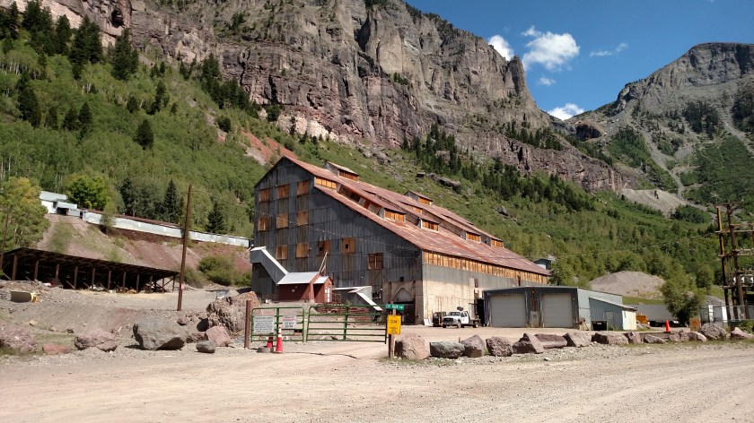
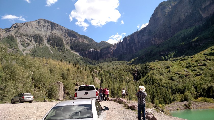
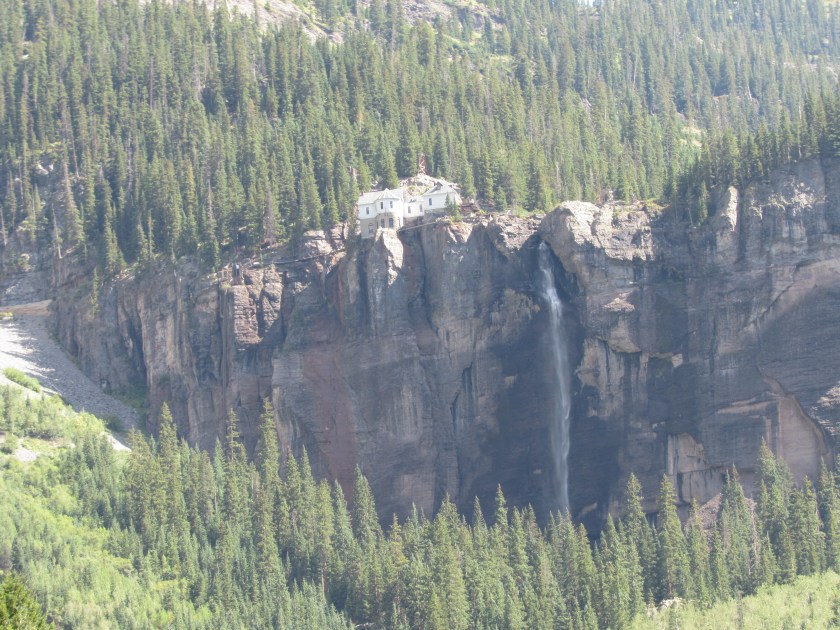
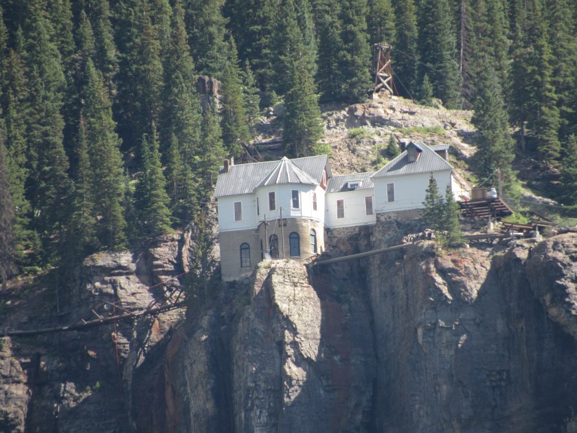
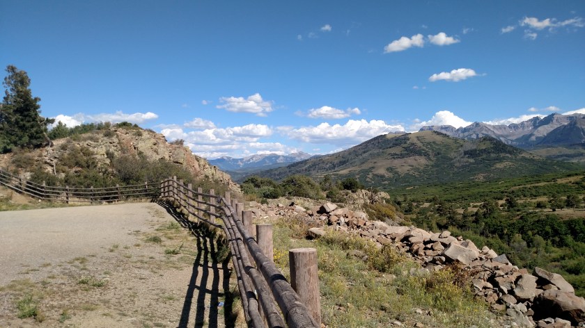
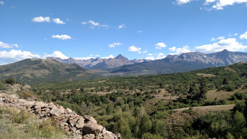
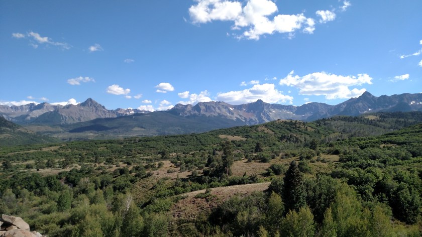
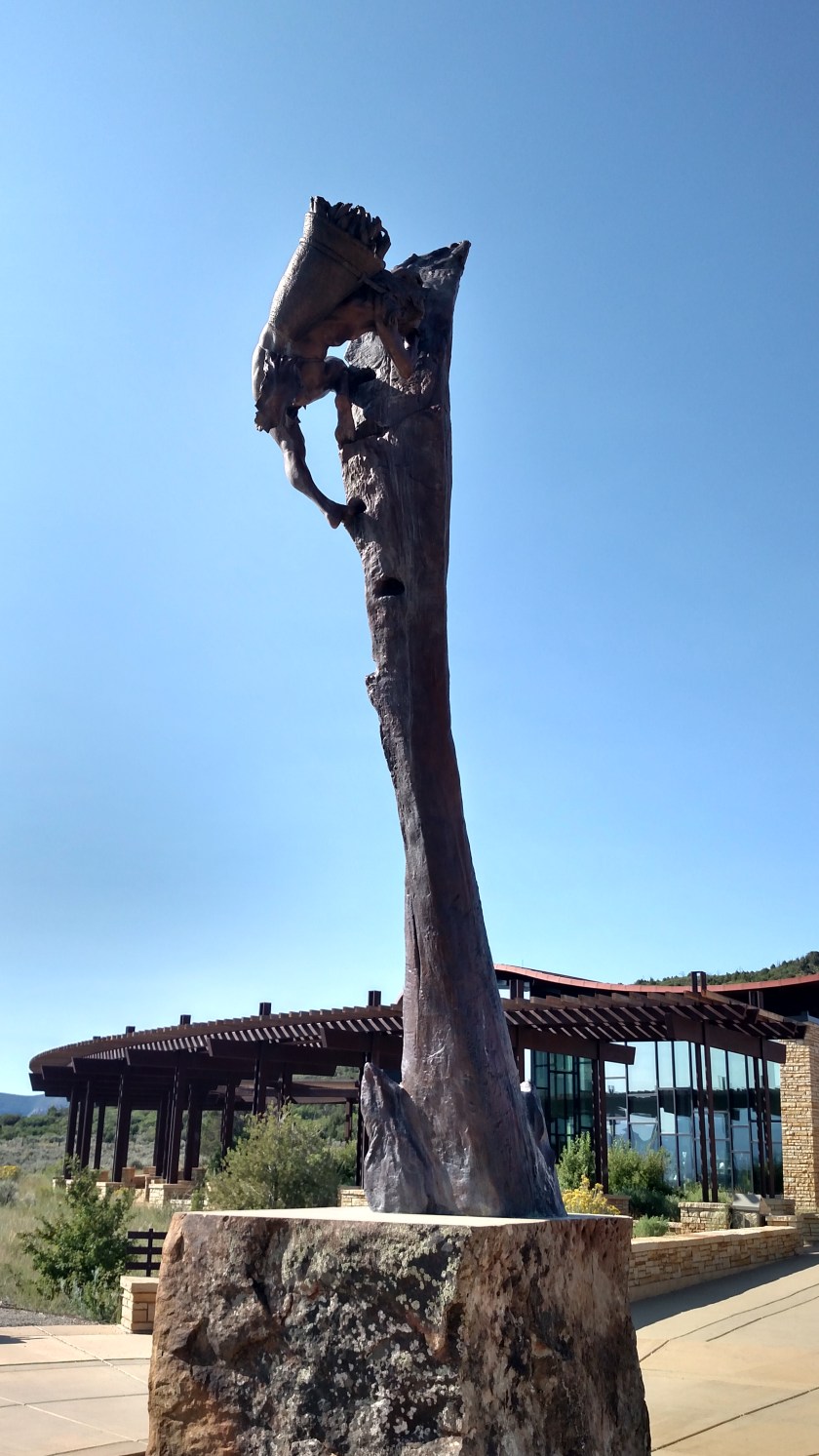
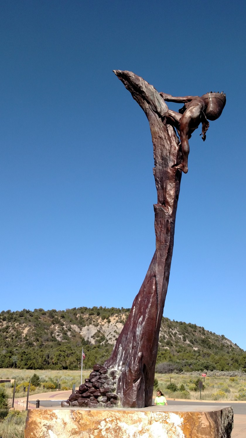
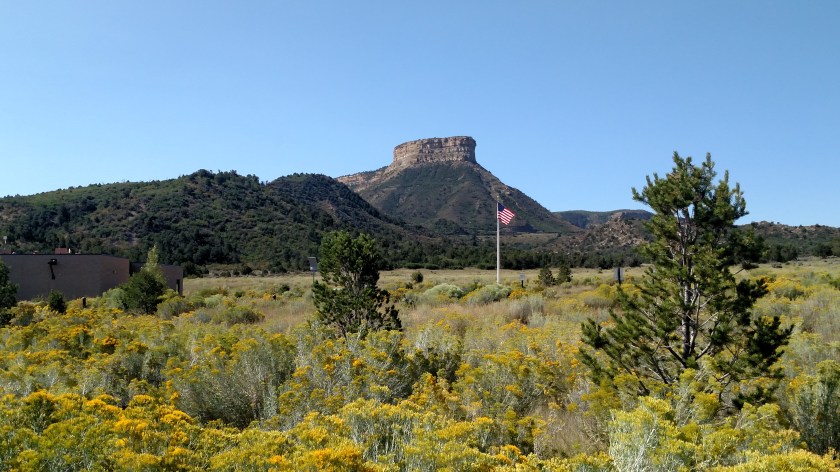
I did get these photos while I was there, though.


I’ll post pictures from inside the Visitor Center, as well as throughout the park, in early October when I come back to Colorado.
********
And once again, I’ve bit off more than I can chew. I’ll have to hold a post I started tonight another day. I need to get back to bed for a few hours. Later today (currently 341am local time) I will be driving up to Arches National Park in Utah en route to my next stop. I’ll hopefully be visiting 5 National Parks in the next 5 days. I’ll post the remaining pictures from Colorado tomorrow. Goodnight (or Good Morning).