August 15, 2019
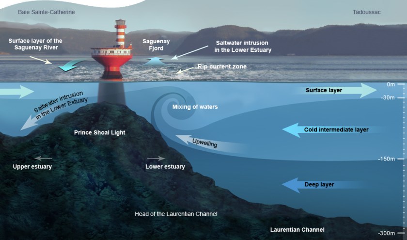
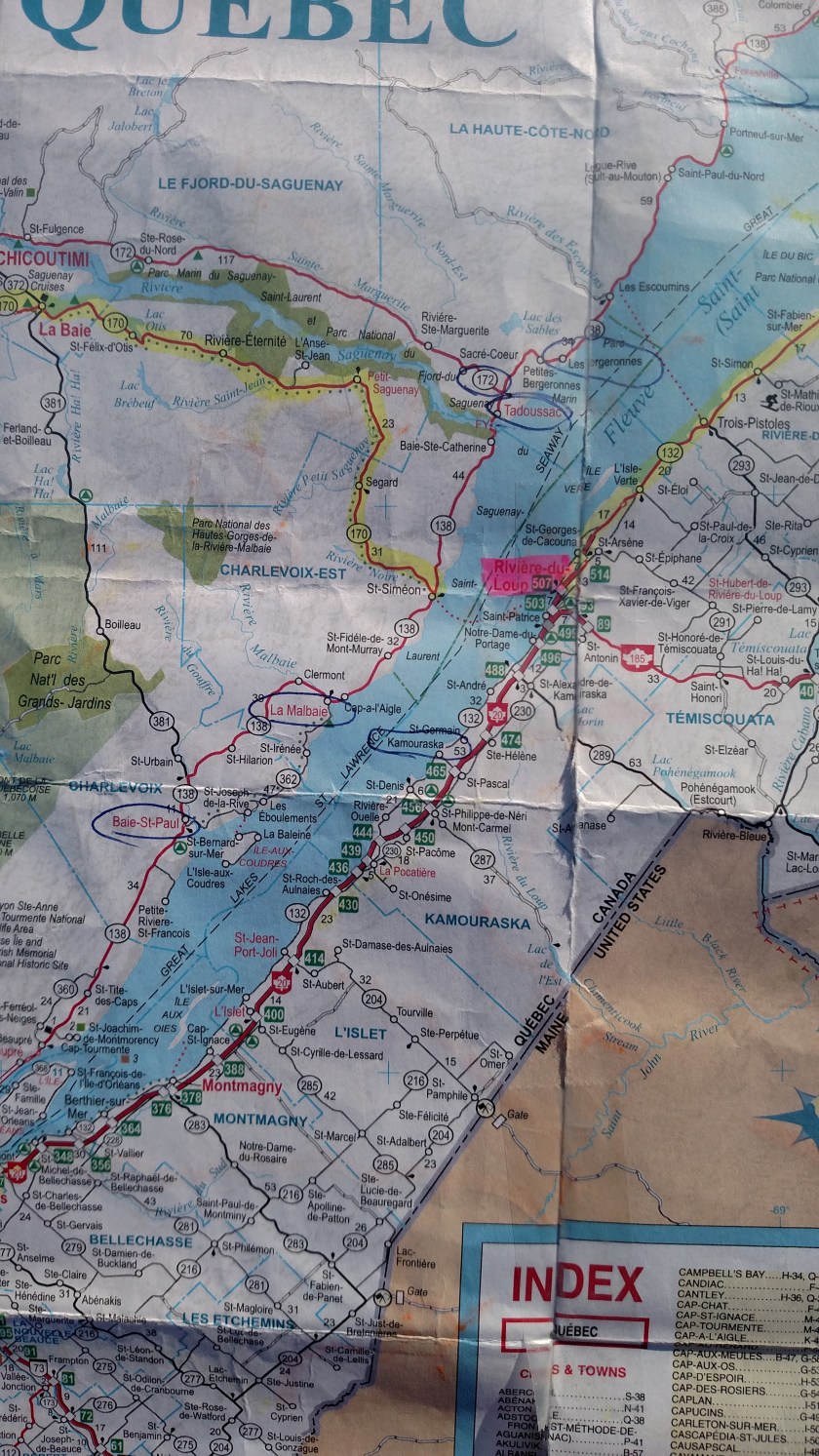
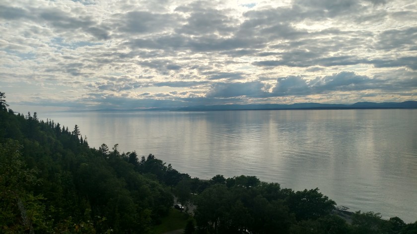
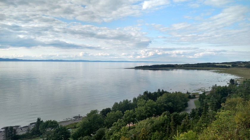
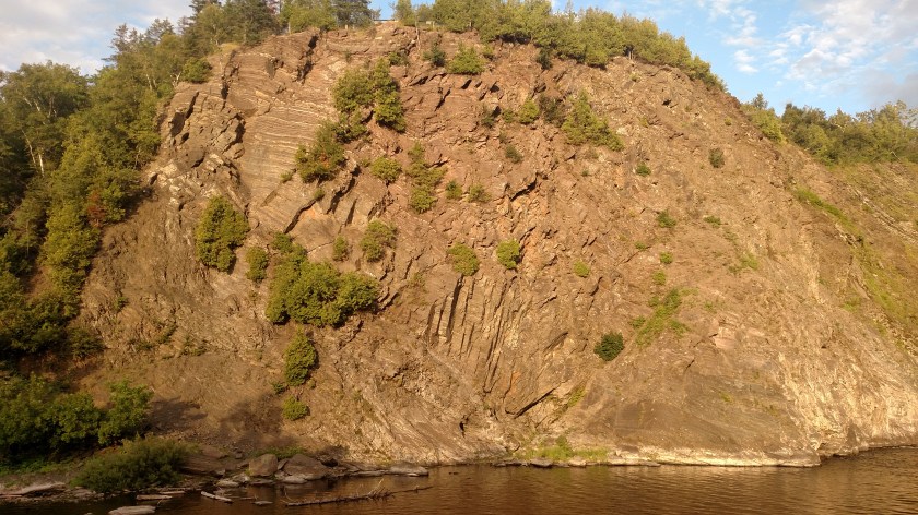
After crossing the St. Lawrence River from Rivière-du-Loup I started driving northeast on Route 138. After a short drive I stopped at the Pointe-Noire Interpretation and Observation Center high above the south shore of the Saguenay River. The Marine Park is the estuary created by the confluence of the Saguenay River (part of which is a fjord) and the mighty St. Lawrence River.


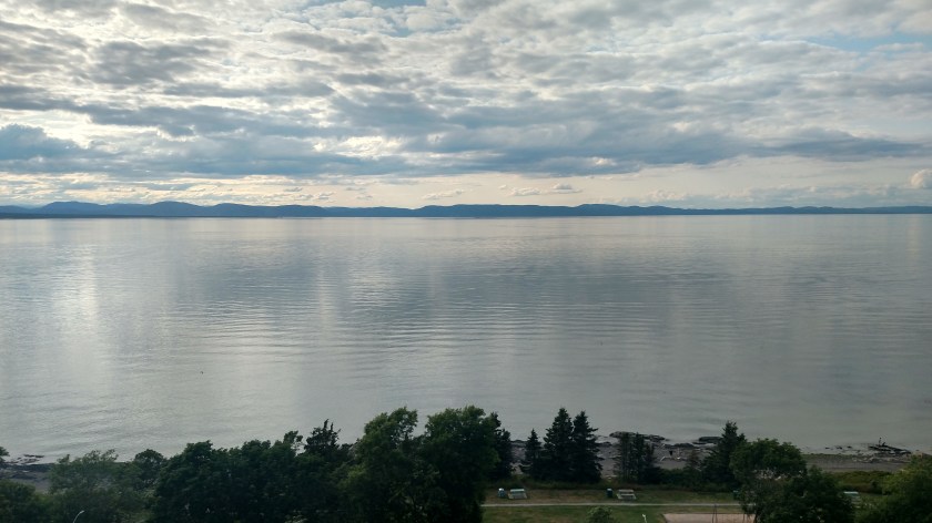
The two photos above were taken from the shore looking northwest and northeast respectively. I’ll talk more about what you are seeing in a moment. It soon became apparent that I would be taking a ferry across the Saguenay River to reach the town of Tadoussac on the opposite shore before continuing my drive northeast on Route 138. Before doing that I spent some time exploring the Interpretive Center.
Out of the back deck was this Parks Canada employee keeping a watchful eye on the water below.
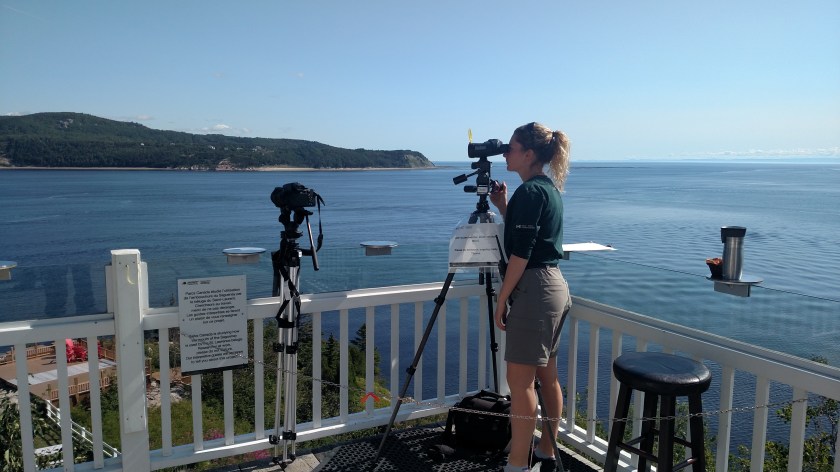
She was using a powerful set of binoculars to watch for whales and there was a digital camera to her left to document what she saw. She also had a clipboard and was making notes about what she saw and when.
There are 4 types of whales which are typically found here, one of which in endangered. The four types are blue, fin, minke (pronounced with the hard ‘e’ at the end – MINK-ey) and beluga. The white beluga whale is endangered, thus the extra scrutiny and documentation. By the way, beluga whales are NOT where beluga caviar comes from. That high-end caviar is from beluga sturgeon.
She had seen some whales earlier in the morning but didn’t spot any while I was there. There were boats on the water below taking tourists on whale-watching excursions (as I had seen in other areas of Canada as well).
Given that this was a Parks Canada-managed facility I spotted some red chairs down by the water:
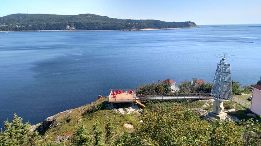
I had a busy day ahead and did not venture down there to check out the view.
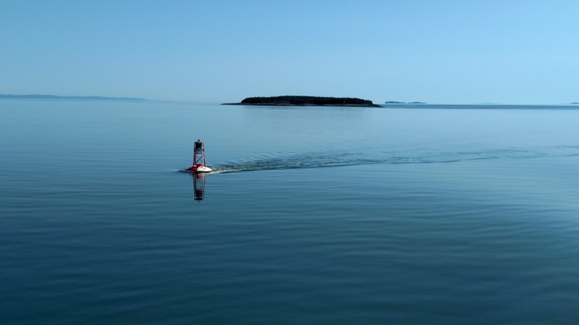
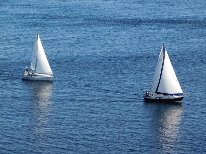
Here are some other boats I saw while up high over the water:

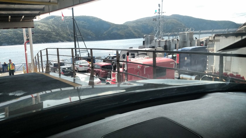
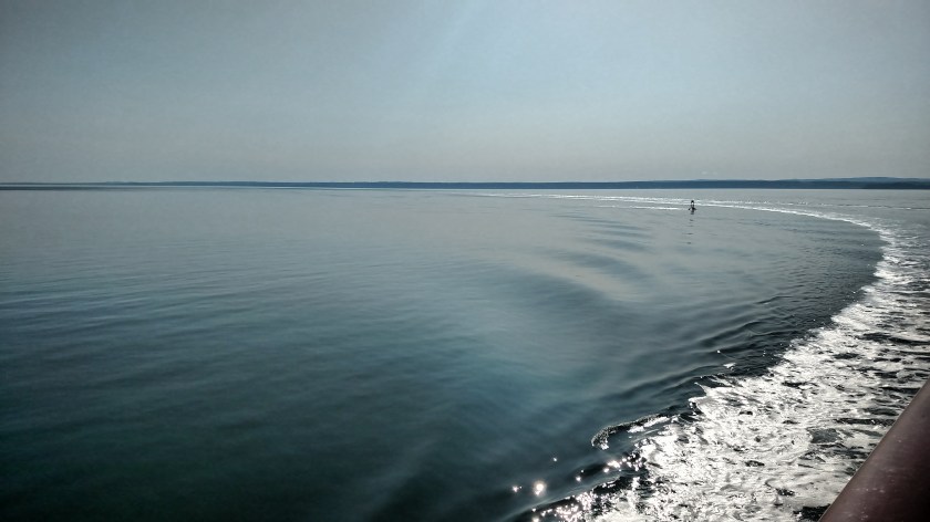
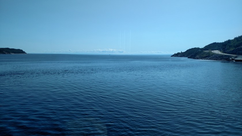
I finally drove the short distance down the road to catch the ferry. This was the view once we began crossing the river looking upstream (to the west):

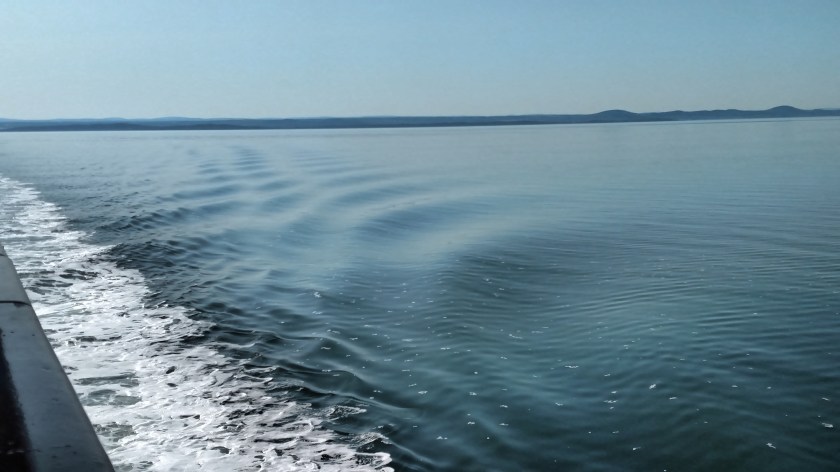
And this was the view looking east, towards the St. Lawrence:
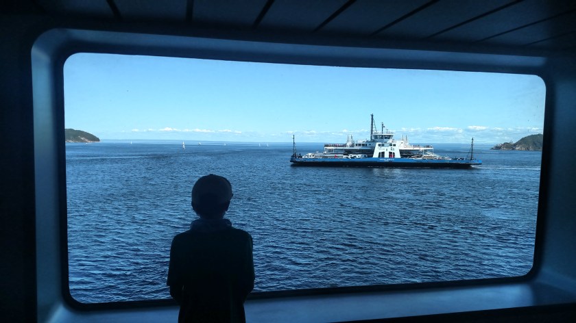
And this is the “other” ferry taking vehicles and passengers the opposite direction to the way we were going:
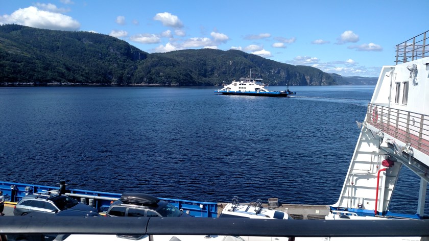
These ferries were free and run about every 20 minutes during the day (but less frequently at night). Once I was on the north shore I continued driving towards Forestville.
Let me add one bit of trivia I read about while researching this post. Saguenay, for which the river is named, is a large town northwest of Tadoussac. They used to have a minor-league ice hockey team called the “Jonquière Condors” (Jonquière is a political subdivision of Saguenay). The team later changed it’s name to the “Saguenay Paramedics” and ultimately the “Saguenay Fjords”. The team lacked funding and later disbanded. If you happen to have any swag from any of those incarnations it is probably worth some money!