July 22, 2019
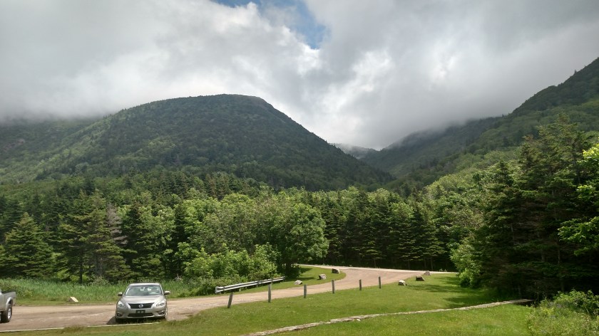
Monday when I arrived on Cape Breton Island I drove around the upper end of the island clockwise – up the west side and down the east side. I just reviewed the pictures from the west side and am very disappointed at how they turned out so I am going to try again today and hopefully post better quality pictures. Despite the clear skies which appeared in the pictures I presented in “The Cabot Trail” post, when I entered the Cape Breton Highlands National Park (NP) at the southwest corner of the Park, low clouds had developed and the pictures are very poor.
For example….
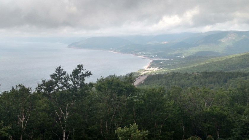
Upon reaching the northwest corner of the Park I drove over to the other side and it was like I was in a totally different world….

At the top of the map is Neil’s Harbour:

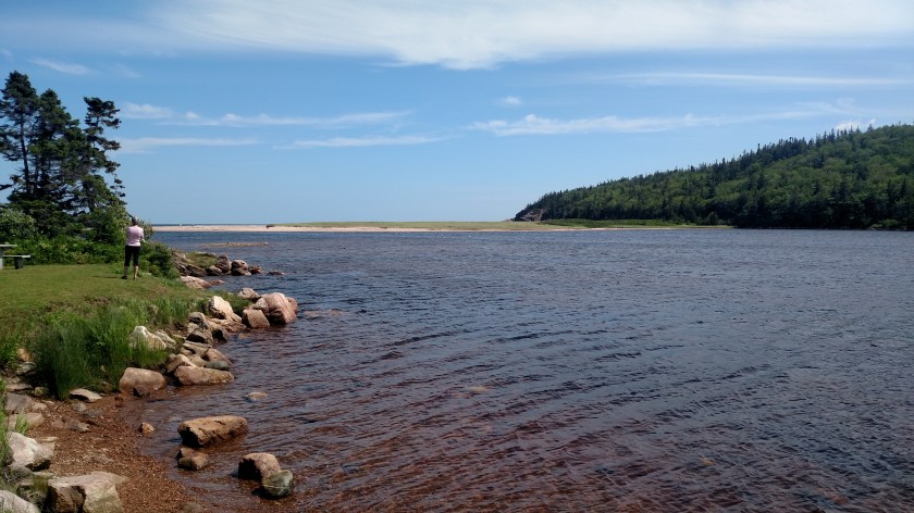
This next shot is the same body of water but looking back west, towards the road which I am now traveling south on. The thick clouds on the west side didn’t make it all the way over across the wide northern part of the island.

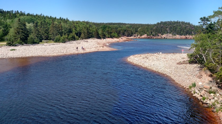
Further south, Black Brook Beach:
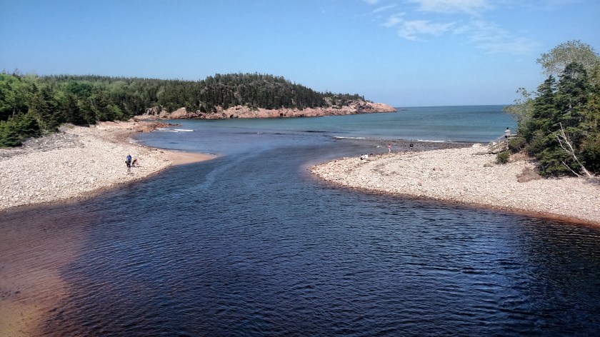

And further yet, MacKinnons Cove:


Next up, Green Cove:


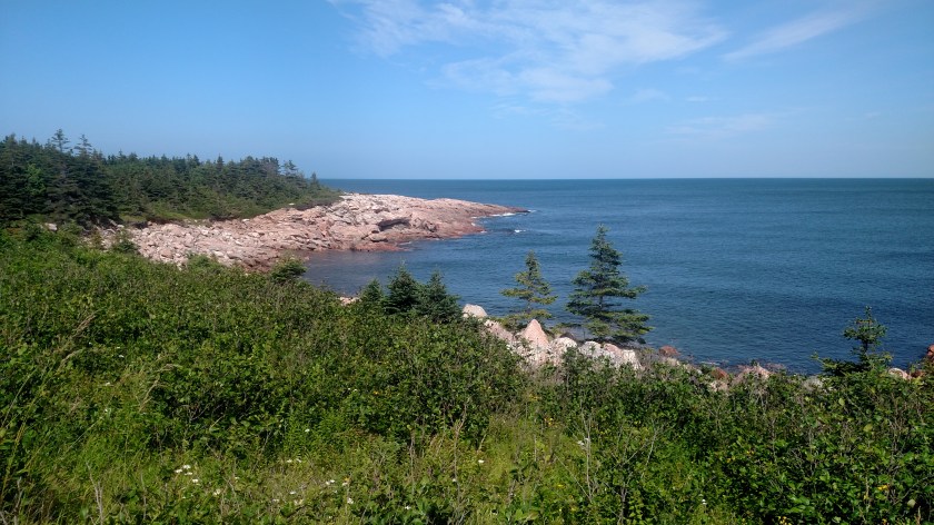

And last stop as I approached the southeast corner of the Park, Lakie’s Head:

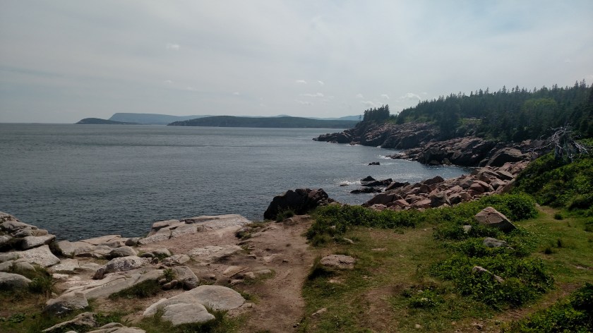
In the bottom photo you can see Ingonish Island (on the left), Middle Head (a peninsula sticking out from the mainland, in the center of the photo) and Cape Smokey off in the distance (between those two). Those two photos also demonstrate the effect of clear, blue skies on taking photos of water. The top photo was looking northeast, over the Atlantic Ocean and with clear skies. The bottom photo was taken looking due south, and high, thin clouds were moving in, creating a more grayish look to the water.
There was a little more to see in the Park but there was road construction which restricted vehicles to only one alternating lane of travel and stopping within the work zone was prohibited.
More rain is coming in today (I am posting this Wednesday morning) but after I shower I will head back up to the west side and take more photos. I was up there Tuesday afternoon and am now kicking myself (Ow!) for not taking more photos then. They wouldn’t have been ideal either but they probably would have been better than Monday’s photos.

Gorgeous
LikeLike