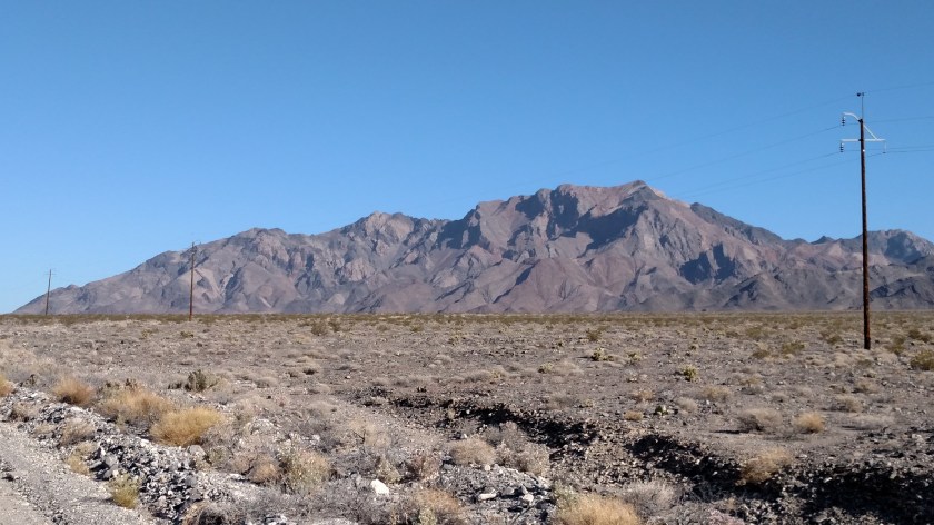
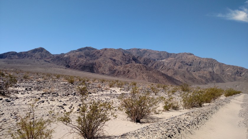
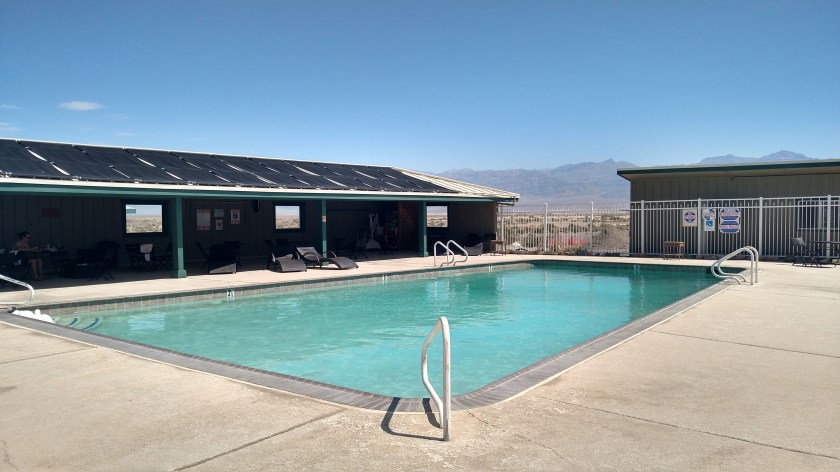
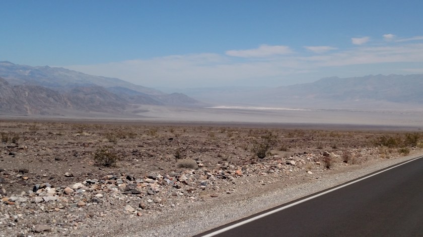
After taking a look at the Kramer Junction facility I drove back to Barstow, then continued east on interstate 15, about an hour and a half, almost to the Nevada state line. Here is what I found there, just north of the interstate.
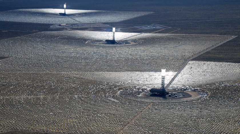
You are looking at the largest solar electric generating station in the world.
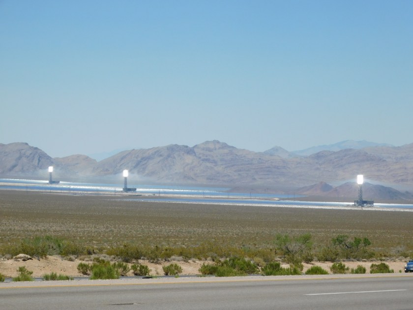
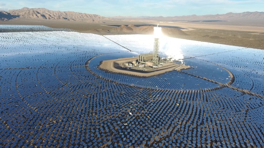
Ivanpah’s three towers generate 392 megawatts of electricity. This system works differently than the one I just showed you at Kramer Junction (see previous post). Ivanpah employs heliostats, a series of two flat glass mirrors, and uses what is called a “concentrated solar thermal” method to generate electricity.

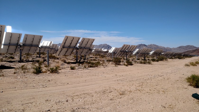
These heliostats also move to track the sun and reflect the rays to a Power Tower.

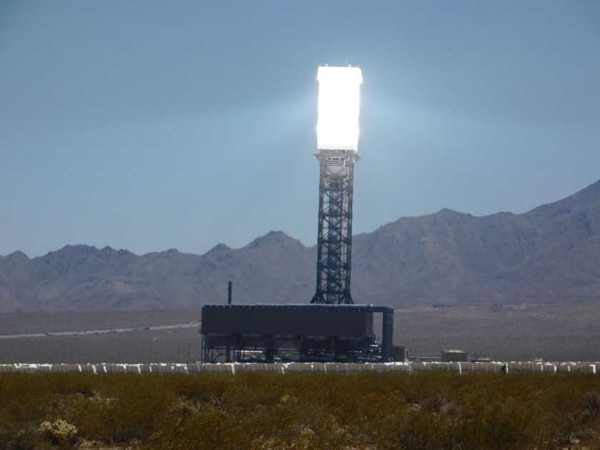
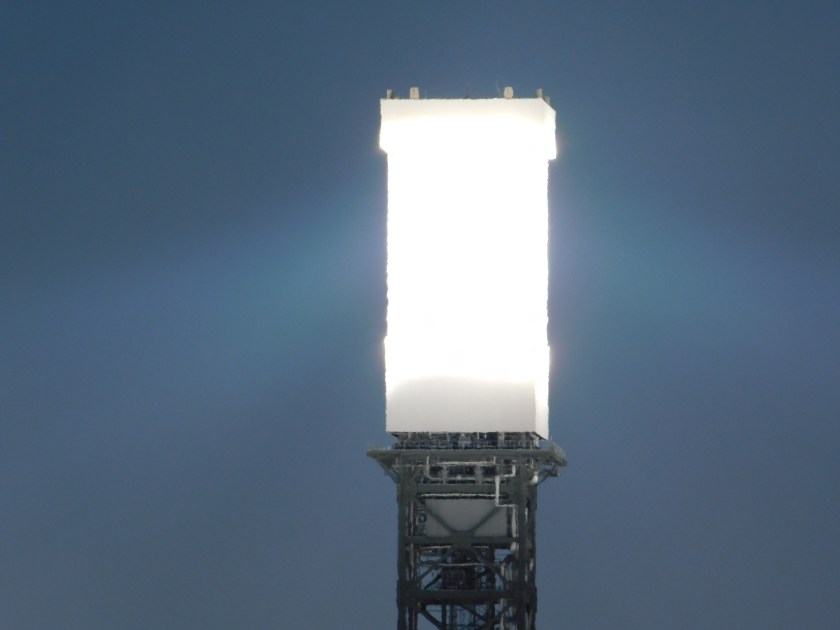
The towers are surrounded by heliostats. Lots of them. The three towers here are surrounded by over 173,000 heliostats (two mirrors each) which cover 3,500 acres. Inside the top of each tower are boilers which use the concentrated rays of the sun to heat water to create steam to turn turbines to generate electricity. The towers are each 459 feet tall (higher than a 40 story building).
(Photo credit: Getty Images)
(Photo credit: YouTube)
Now this facility is not without it’s problems. Two years ago a set of heliostats accidently pointed to the wrong part of one of the towers, causing it to catch fire. Oops.
The biggest problem this facility, and ones like it around the world, have are their negative impact on wildlife. Birds and insects, attracted to the shiny white light at the top of the tower, are literally incinerated when they fly into the focused rays of the sun. The temperature near the top of the towers is over 1,000 degrees Fahrenheit. Up to 6,000 birds a year are found at the base of the towers. There are videos online showing birds meeting their fate by flying up near the top of the towers.
Needless to say, animal rights groups are justifiably outraged at this fact and the plant’s owners are trying to come up with a solution, but birds do what birds do and unfortunately I don’t know if they’ll be able to come up with the answer.
UPDATE – Name of facility corrected to Ivanpah (a nearby town), not Ivanhof! Duh