Here is a real-time picture of Mazy (rhymes with lazy) I just took while I am sitting at the dining room table posting the blog at my Airbnb in Visalia:
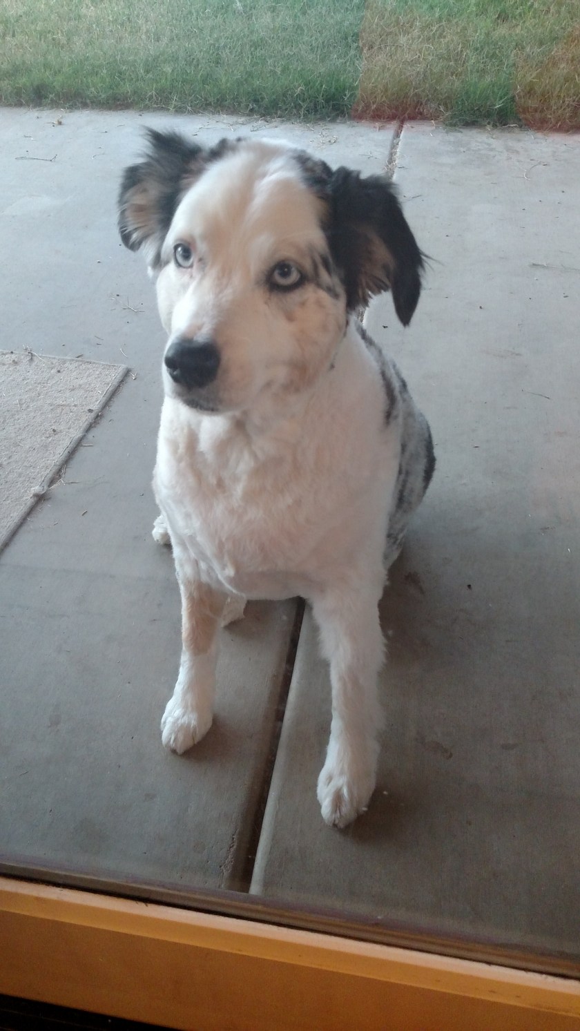
Here is a real-time picture of Mazy (rhymes with lazy) I just took while I am sitting at the dining room table posting the blog at my Airbnb in Visalia:
Wednesday I planned to spend the day at Kings Canyon National Park. It shares a border with Sequoia National Park which I had visited on Monday and Tuesday. I was actually in the Park for only about 26 of the 220 miles I drove on Wednesday, yet I enjoyed a full day of incredible scenery. You may want to go online and print a map of the area (Google: NPS Sequoia map, then click on Driving Map).
Of the 220 miles I drove on Wednesday, 112 were just round trip getting there and back from Visalia. Only 26 miles were spent in Kings Canyon proper (14 miles round trip at the END of the Kings Canyon Scenic Byway and the rest entering and exiting near the Kings Canyon Visitor Center in the little finger which sticks up on the left side of the map). The remainder of the drive, 82 miles, was through the Sequoia National Forest, technically the Giant Sequoia National Monument – North Unit.
Sequoia National Park covers 631 square miles and Kings Canyon, 721 square miles. Combined, they are slightly larger than the state of Rhode Island. You only get to see a small portion of either Park from the road. The eastern part of Sequoia and the northern part of Kings Canyon can only be enjoyed on foot or horseback (or the animal of your choice, assuming they are willing participants). There is much more to both Parks than you can see on the Driving Map (click on the Area Map to get the “bigger picture”).
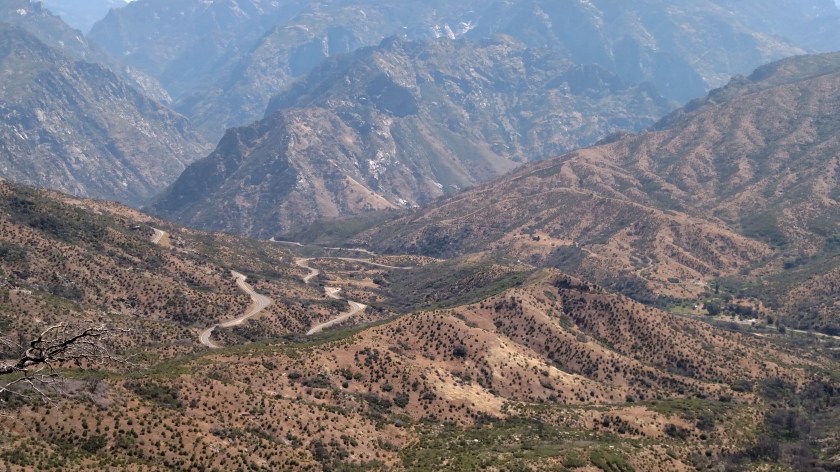
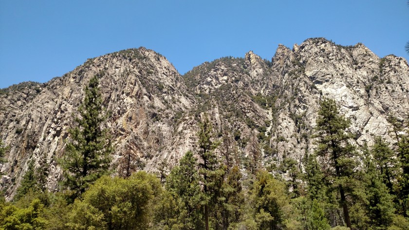
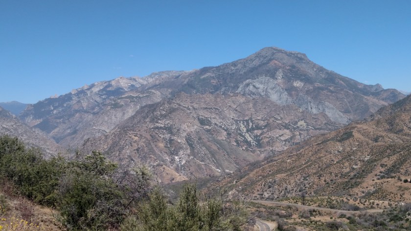
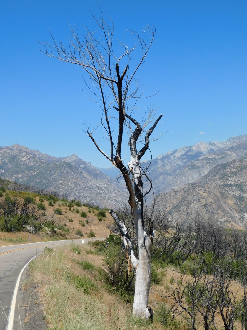
The thing that I found very confusing on Wednesday was figuring out exactly what I was looking at. There are all kinds of peaks, but based on where I was and the direction I was looking it was difficult to figure out which peaks were which. I opted to just enjoy the views!!
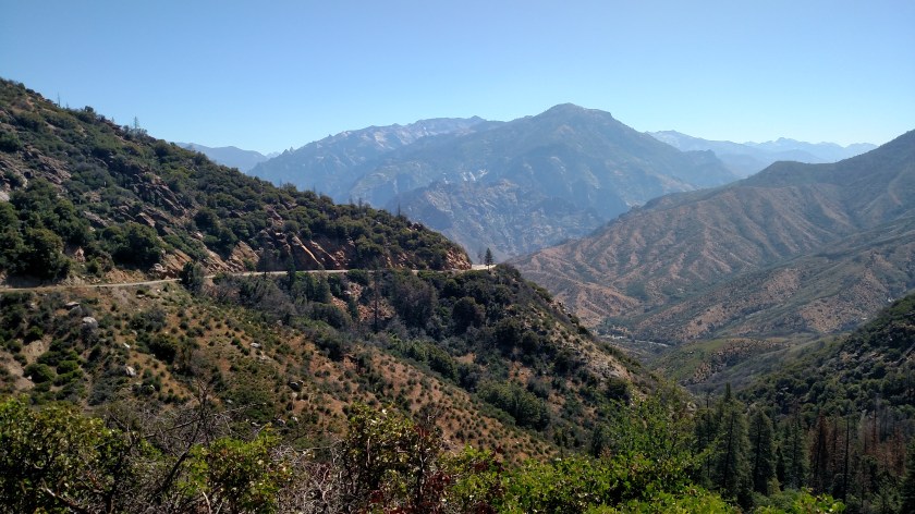

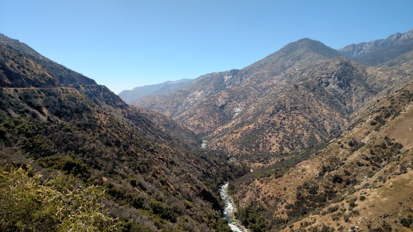
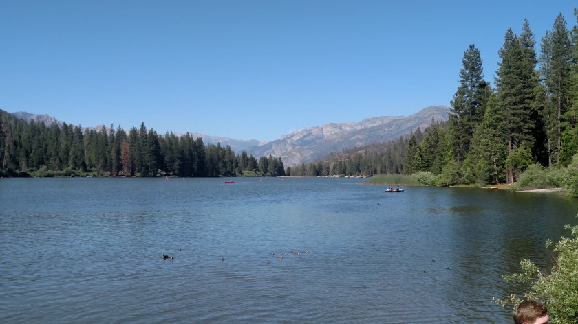
Down below I could see the road I would be traveling on. I descended from up around 6,000 feet where these were taken, down to the valley below, then up again once I got in to Kings Canyon proper.

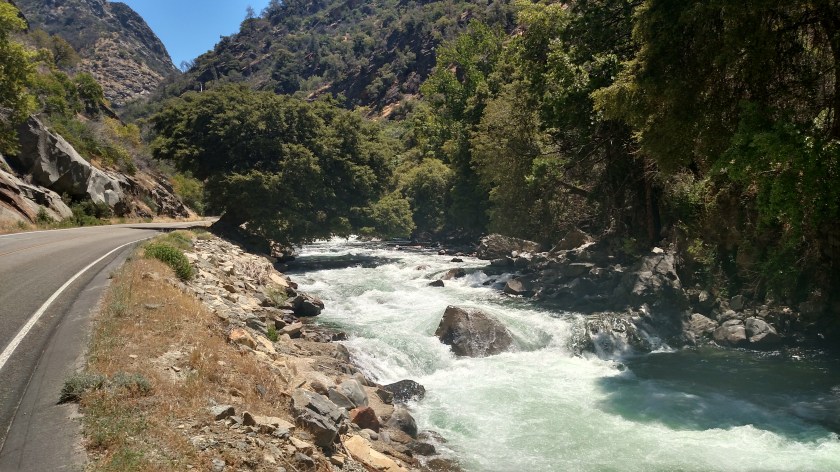
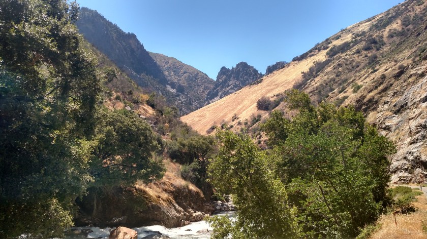
Once I got down in the valley I could see, and hear, 10-Mile Creek below:


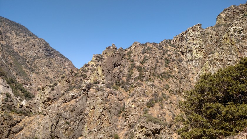
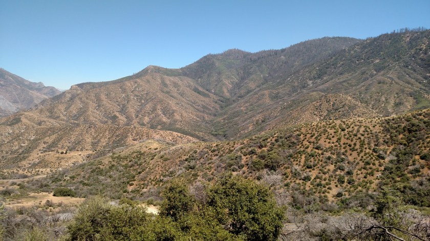
Here are photos taken Wednesday in both Sequoia National Forest and Kings Canyon National Park.
I still haven’t reached Kings Canyon National Park itself, but I can see it in the distance.
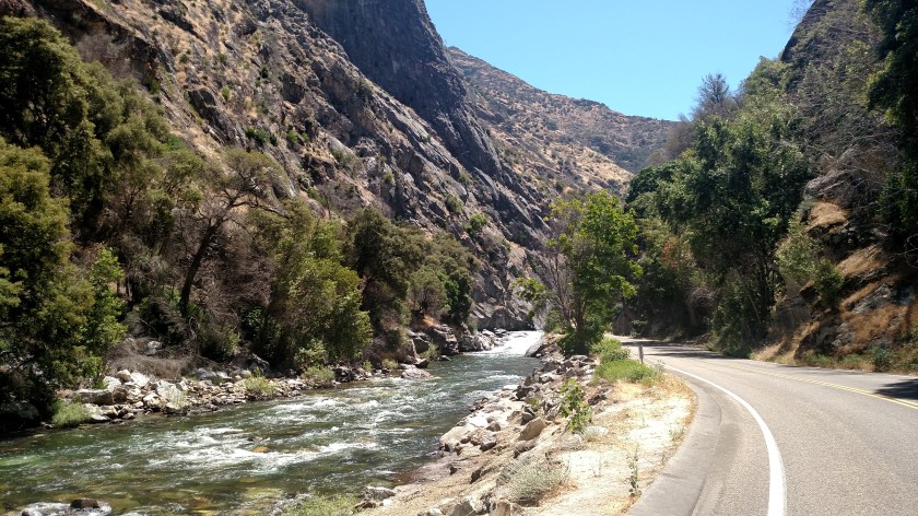
This is the South Fork of the Kings River which runs parallel to the Scenic Byway in many places. With only still pictures it is hard to give you the sensation of the water cascading downstream. I usually get a few video clips of waterfalls and rivers to record the full effect of their beauty but I can’t post them on the blog.
There were warning signs when I entered the Park that the water was very cold and very swift, and that swimming and rafting were not allowed.
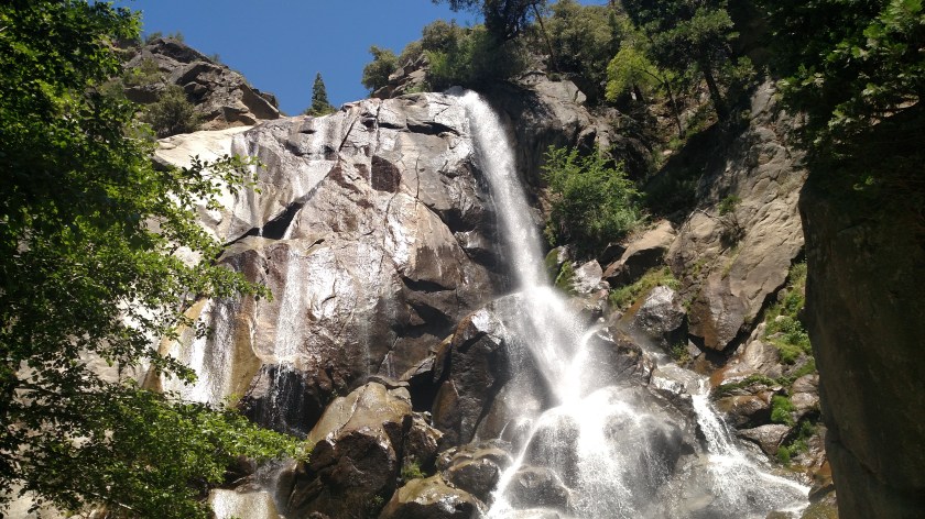
This is Grizzly Falls. There is a picnic area right in front of the falls and I commented to someone there that I hoped the grizzlies wouldn’t be picnicking on us!

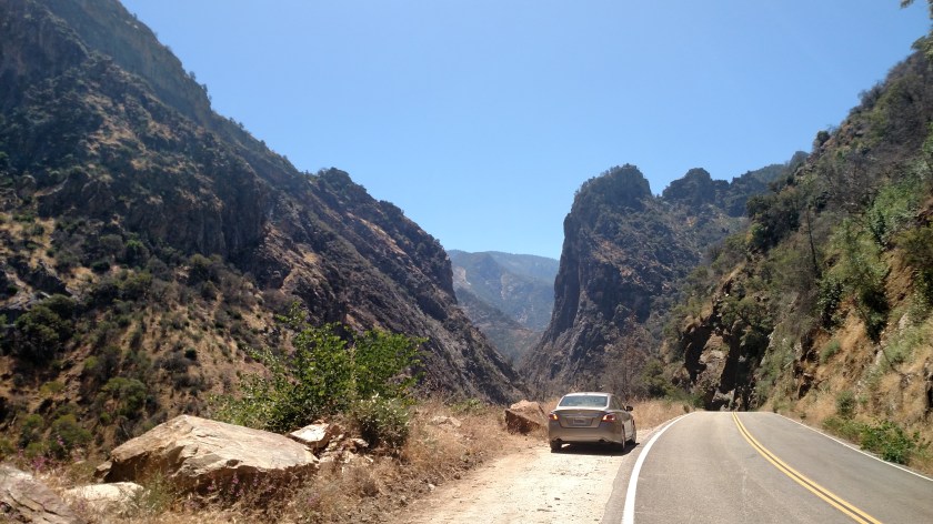
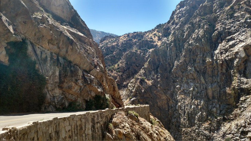
And at 1230, two hours after my first “Oh wow” moment viewing the Canyons when starting my drive on the Kings Canyon Scenic Byway, I finally reached the entrance to Kings Canyon National Park – although I had driven less than 20 miles.


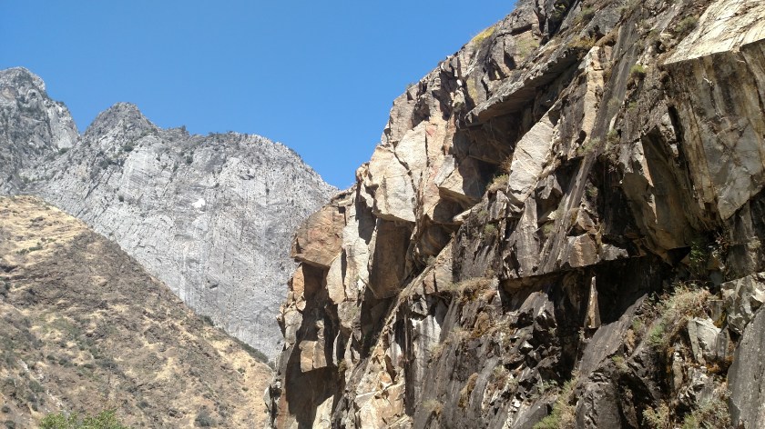
Here are photos taken Wednesday in both Sequoia National Forest and Kings Canyon National Park.
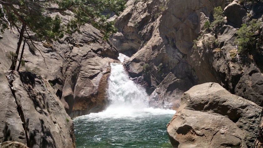
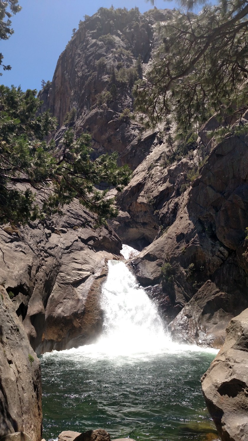
This is Roaring River Falls:

The next photo doesn’t do the juxtaposition justice. The dry, brown grass sloping down the mountain from the right, the cold, wet water rushing down the river below and the harsh rocks on the mountains in the background.
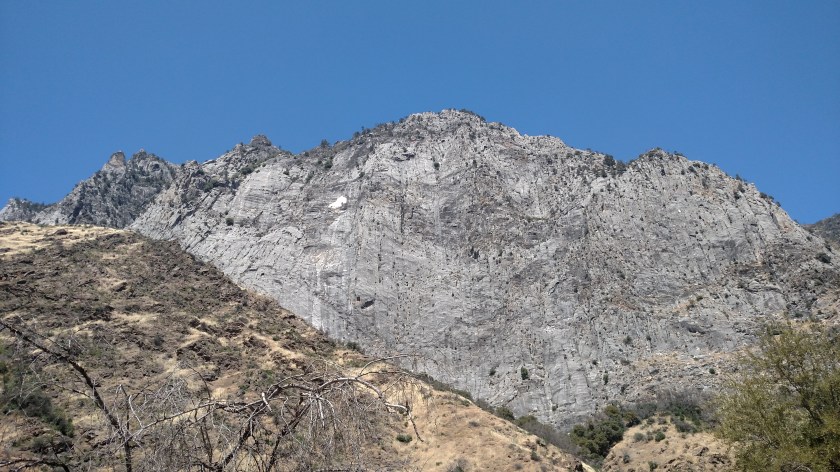
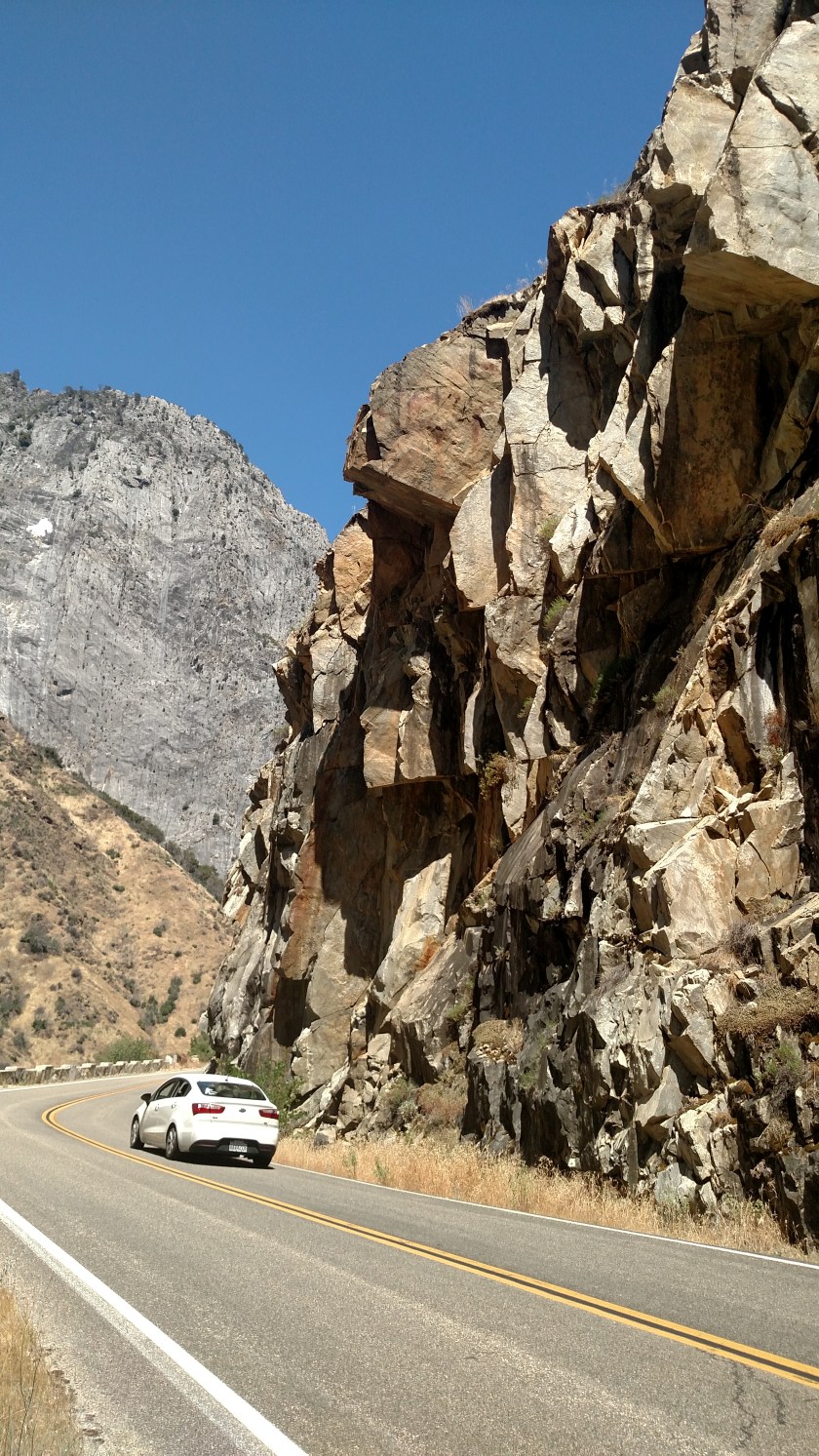
And looking up at this towering rock face from the canyon below gives you the impression it is the highest peak in the world, but from other vantage points in the area you realize it is only a small fish in the pond.

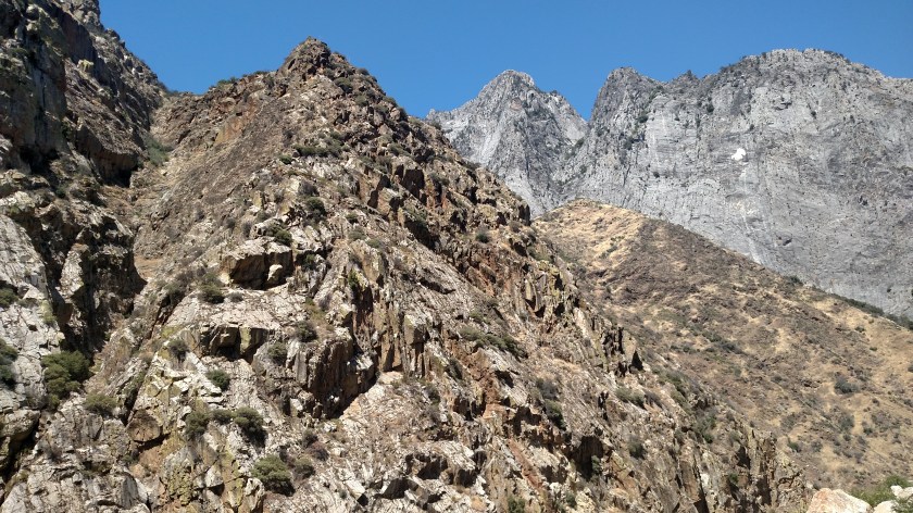
Here are photos taken Wednesday in both Sequoia National Forest and Kings Canyon National Park.

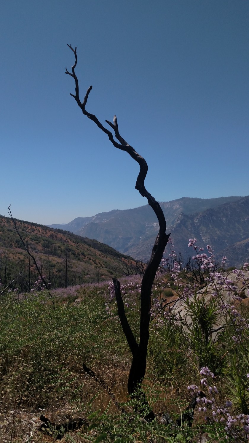
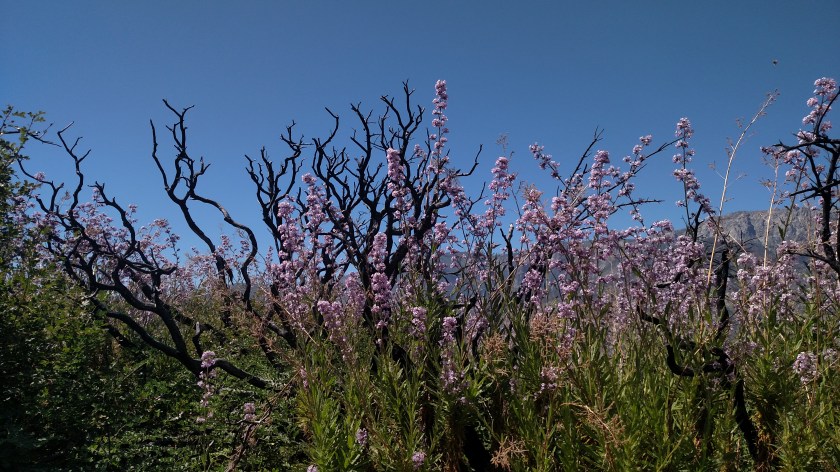
Here are some pictures taken at various places in and around Kings Canyon National Park on Wednesday:


And you can’t see this as well as I could with my sunglasses on (I really need to get a polarized filter for the camera) but the moon was visible above the treeline.

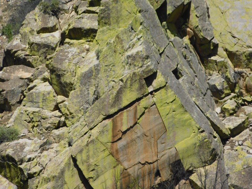
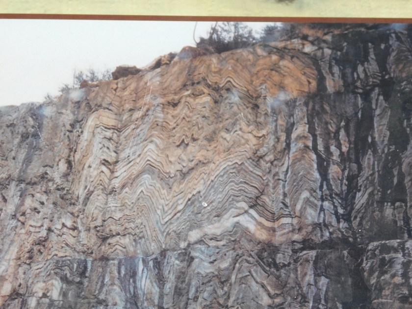
These next two are a picture of a picture on a sign at one of the overlooks. This pattern is on a rock face, evidently somewhere in the Park.

This is Hume Lake. There is a religious retreat based here and there were hundreds of kids of all ages frolicking on some sports fields near the lake, along the shore and in and on the lake itself.
And this is farmland on my way back to Visalia. Southern and Central California have loads of huge farms, growing a wide variety of things. One of the things I find truly fascinating is the precision with which some things are planted. Like the tombstones in Arlington National Cemetery, these trees are planted so that they make perfectly straight lines, both in the rows in which they are planted and also diagonally:
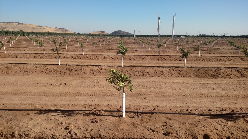
And just about a foot to the left, looking diagonally to the left:
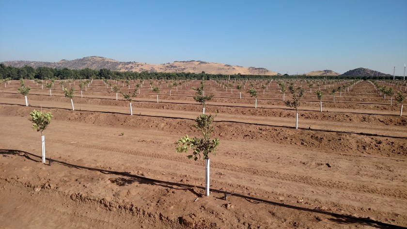
I guess you can see the effect in just the 2nd picture by looking at the lines. Pretty cool. I took some other pictures of new farming methods the other day on my way to Visalia but I am disappointed on how they came out so I’ll try again at another farm.
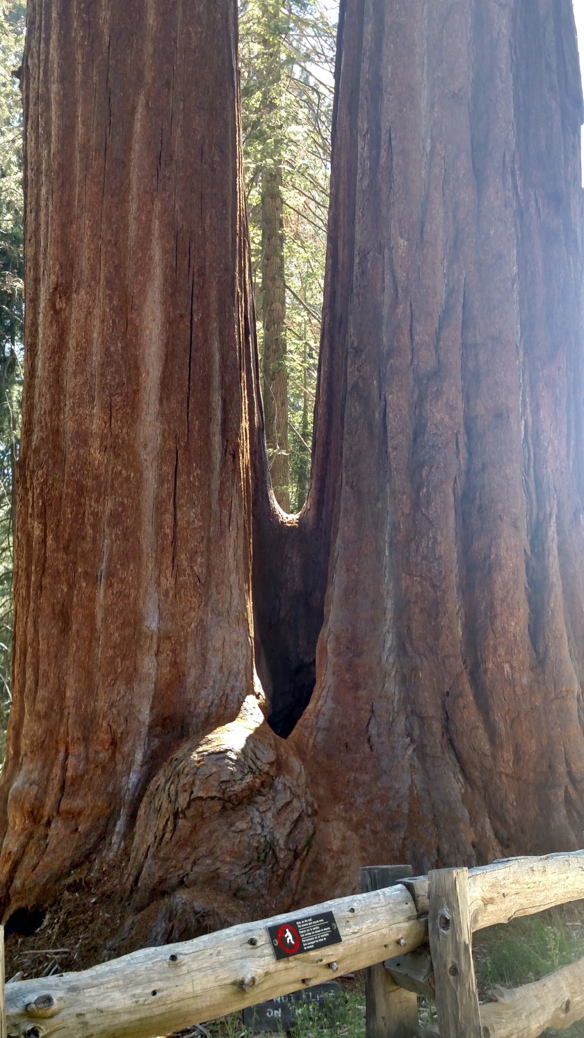
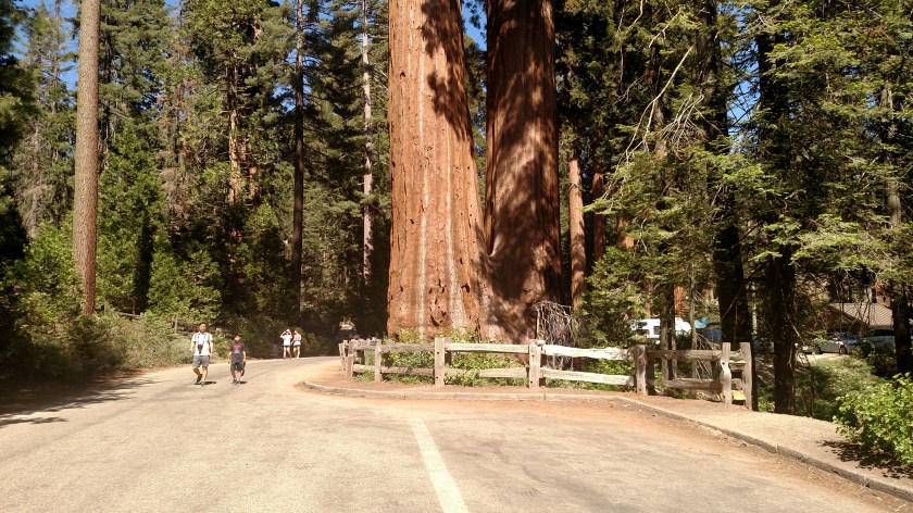
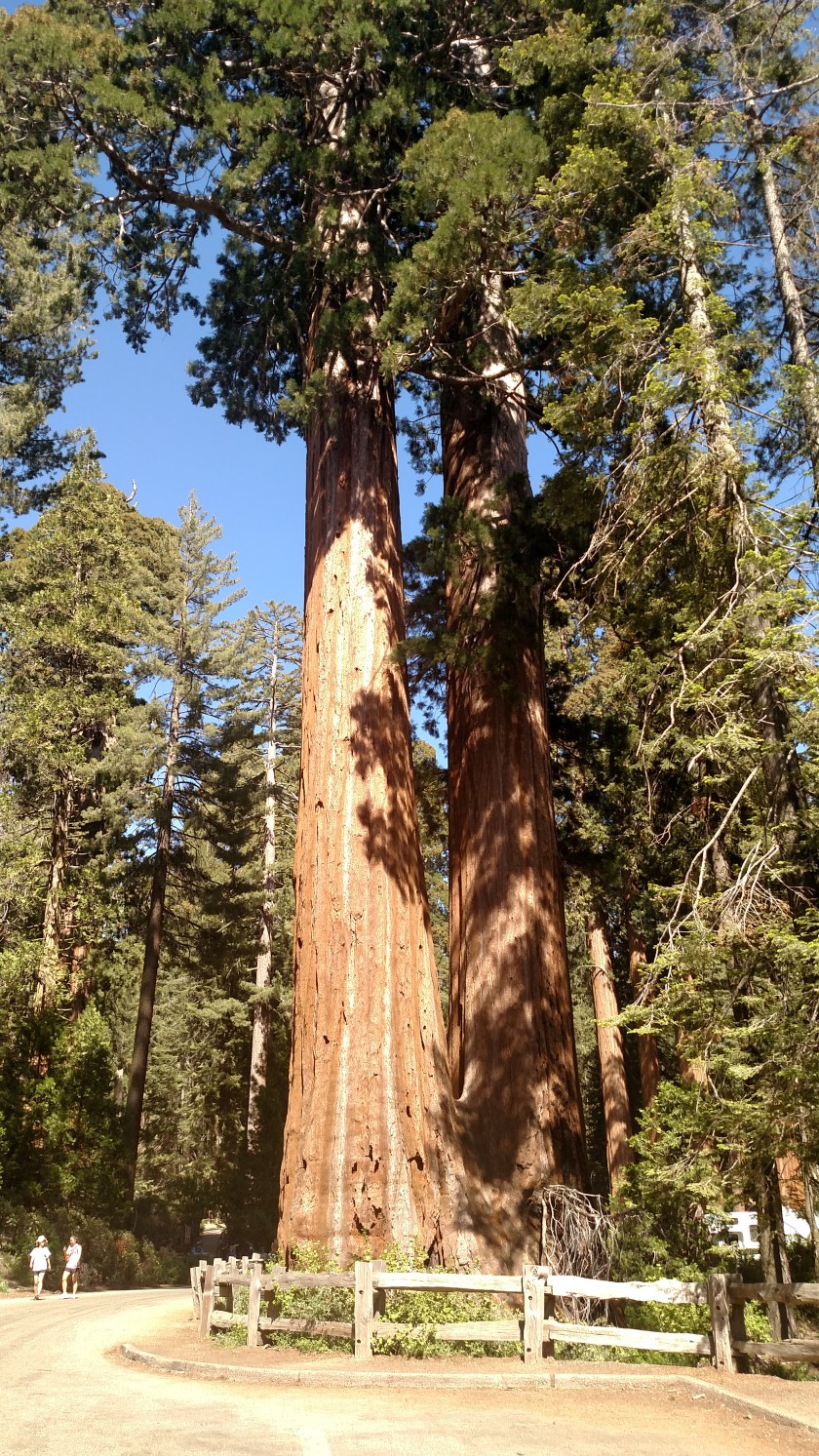
Since I didn’t go see the General Sherman tree when I was in Sequoia National Park on Tuesday, here’s the next best thing. This Giant Sequoia, located in Kings Canyon National Park, is named after General (and later President) Ulysses S. Grant.
At 267.4 feet in height it is just a tad shorter than General Sherman’s 274.9 feet. This tree has a circumference of 107.6 feet (actually bigger than Sherman’s 102.6 feet) and has a bole volume (a botany term) of 46,608 cubic feet (less than Sherman’s 52,508 Cu Ft.). It is still a mighty big tree. I could actually get back far enough to fit it all in one picture:

Here is a photo to put it in size perspective (although if you look closely at the photo above you can see people to the left of the fence at the base):
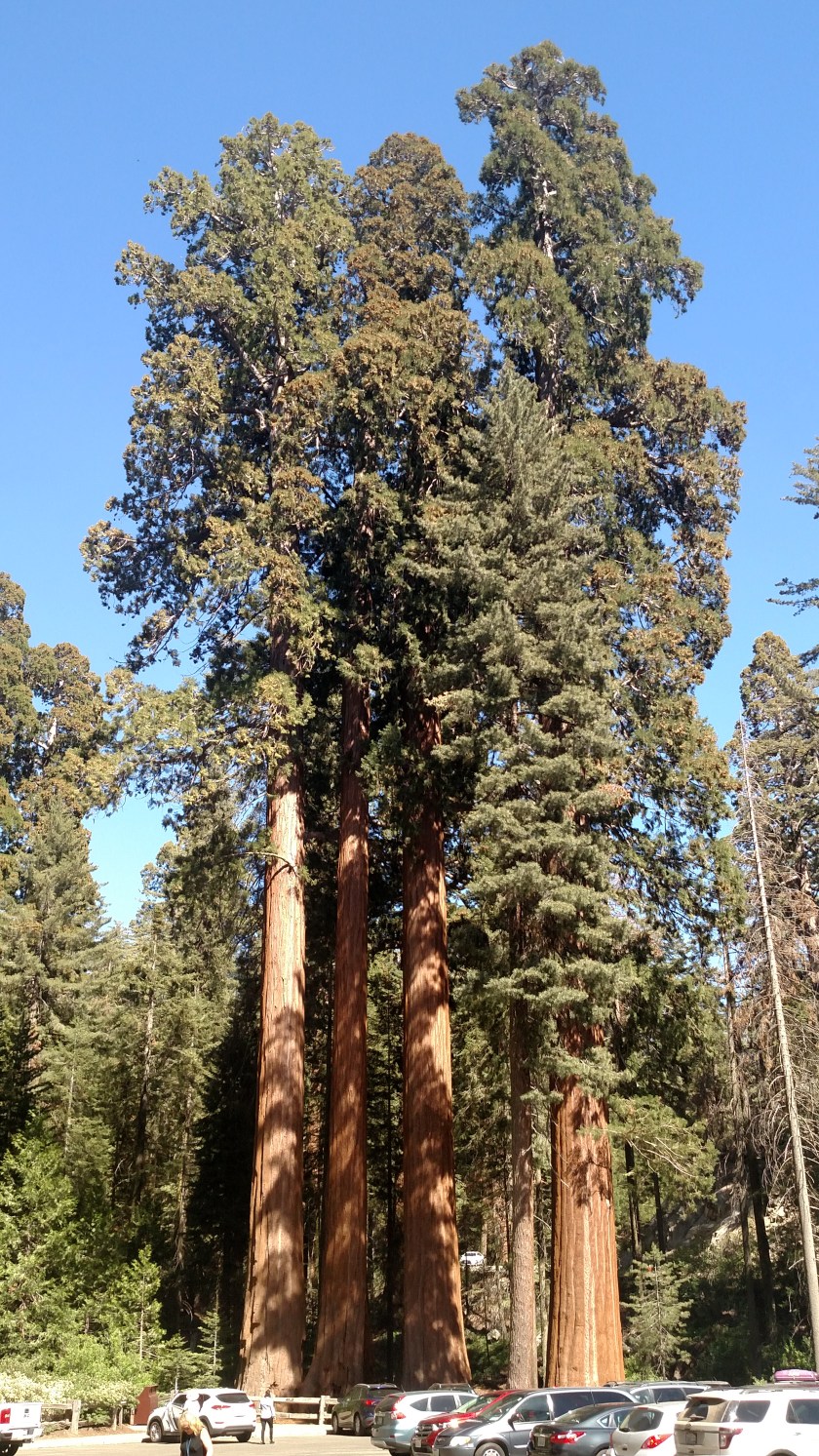
And here are some other Giant Sequoias across the parking lot:
Here is a two shot panorama closer to the Grant tree (top to bottom):

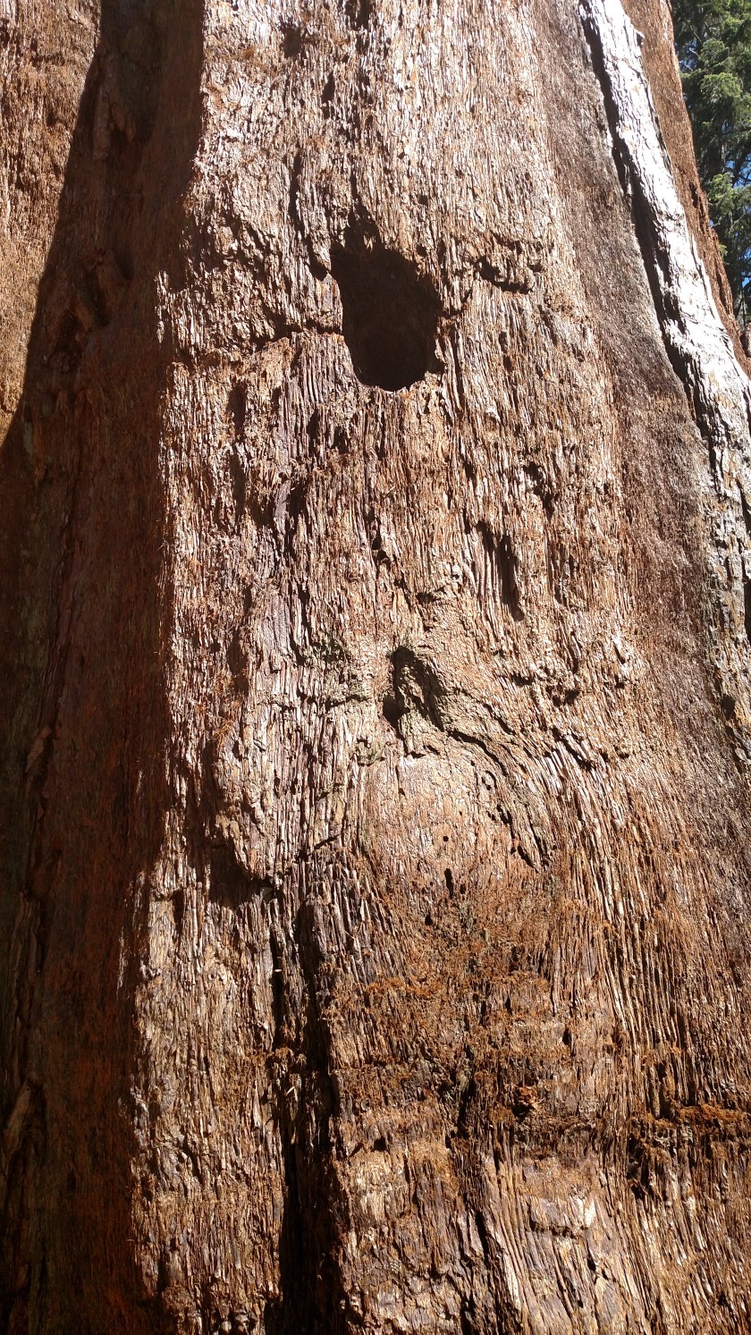
And here are closer looks at the base and the bark: