Thursday morning

Thursday morning when I left the house it was overcast and foggy.  I kind of expected this might be the case in the mornings, this close to the water.  A woman I spoke with down in Santa Barbara (where I took the golf course picture on Wednesday) said the locals call this phenomenon the “June Gloom”.

I drove south from where I was staying in Nipomo down to Santa Maria.  I drove through town and, frankly, wasn’t terribly impressed so I just kept on going.  Rather than going back north on “The 101,” an often busy 4 to 6 lane highway, I opted to continue west and pickup Route 1, which I had driven up to Nipomo on the day before.

When I got to Route 1 I passed through a little town named Guadalupe.  I noticed something I hadn’t seen the day before when I drove through town.

IMG_20180614_082820912

This brought back another childhood memory.  I was born in a suburb of Chicago, Illinois and one of my childhood memories (we moved to Pennsylvania when I was 12) was of my father going out for Chop Suey, a Chinese food similar to Chow Mein.  I don’t often see Chop Suey on Chinese food menus, but I thought it was odd to see both Chicago and Chop Suey on a storefront in little Guadalupe, California!

Next up after Guadalupe was Oceano.  I was told I should drive out to see the sand dunes.  Well, it was overcast and windy, which made it quite brisk at 9am local time.

IMG_20180614_085235485_HDR

IMG_20180614_085314545

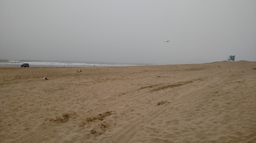
It wasn’t recommended that I drive my car out on the beach so I left and continued north.

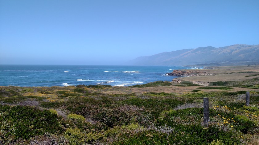
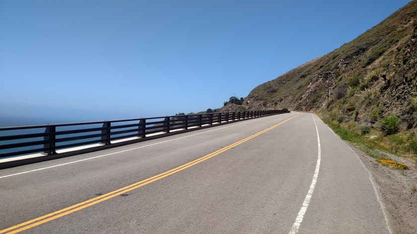
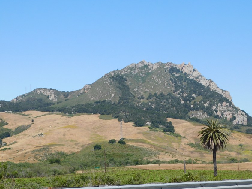
When I got to Pismo Beach (say the ‘s’ like a ‘z’) Route 1 joined “The 101” and I continued north on it.  After branching off from “The 101” in San Luis Obispo it was sunny until I headed back out towards the coast and once again there was a heavy overcast.

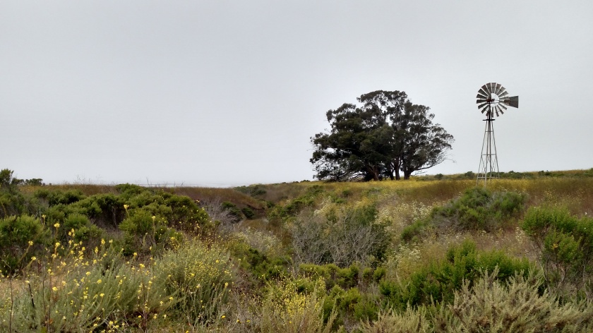
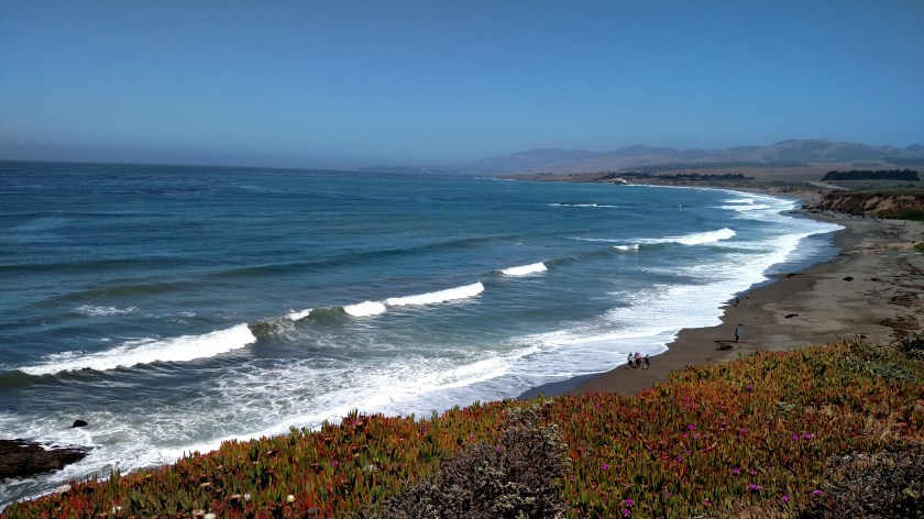
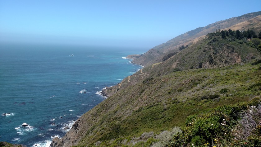
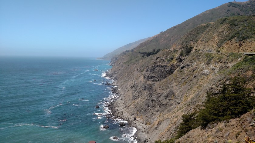
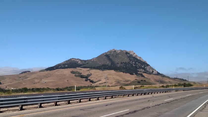
I saw this mountain before getting out by the ocean (you can see the clouds in the distance):

IMG_20180614_102629352

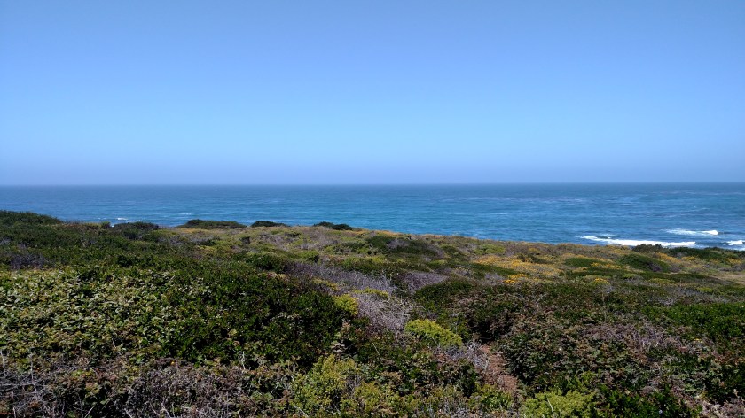
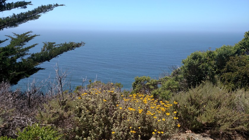
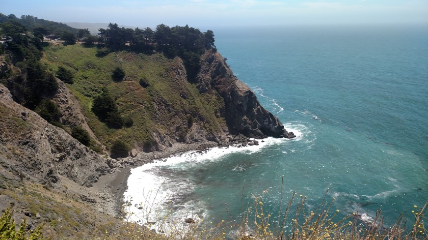
Then it was cloudy and not conducive for much picture taking.

IMG_20180614_105930903_HDR

San Luis Obispo

Thursday morning I drove north of where I had been staying in Nipomo on “The 101”.  There are places where “The 101” and Route 1 (the Pacific Coast Highway) run together, but then the PCH branches off and runs much closer to the coast.  I stayed on “The 101” until I reached San Luis Obispo, stopped and took a few pictures, then headed northwest on the PCH, as it would run off on it’s own for quite a distance until I got to the Monterey Peninsula.

I stopped in the Visitor Center for SLO and my first question for the woman working there was how to pronounce the name.  According to her, locals prefer pronouncing the middle word “Lewis,” whereas the authentic Spanish pronunciation is “Louie”.  I think you can figure out how to say the first and third words….

From the Visitor Center downtown it was only a short walk to the Mission San Luis Obispo de Tolosa, built in 1772:

IMG_20180614_094954674_HDR

IMG_20180614_095114483_HDR

IMG_20180614_095235230

IMG_20180614_095242271

Elephant Seals

The official name for this place along the coast is the Piedras Blancas Elephant Seal Rookery.  It is located just off the Pacific Coast Highway north of the Hearst Castle.  When elephant seals aren’t out at sea they like to hang out here.

This is a picture of an elephant seal I saw on a sign at the overlook.

IMG_20180614_123156359

And here’s what I saw when I looked out on the beach:

IMG_20180614_123348765

I thought they were all dead.

But if you stand and watch for a while it doesn’t take long to figure out that they are very much alive, and they put on quite an entertaining show to see and hear.

First of all, these creatures are HUGE.  A fully grown female elephant seal can weigh as much as two and half tons.  And since seals don’t have arms or legs, only small flippers and tails, they can only scoot along the ground by arching their backs…. well, like seals.

The signage at the overlook explains what these seals are doing.  Sleeping (obviously), vocalizing (they make a variety of grunting, snorting and belching sounds – and apparently when they are breeding it gets pretty loud here!), scratching (themselves with their flippers), flipping sand (again, with their flippers, up onto their body) and sparring (they get into “fights” with each other, both to display their superiority over another or to voice their displeasure with others).

The gray seal in the center of the next picture is making a run for it.  Well, sort of.  This young seal was working it’s way back to the ocean.  It would advance maybe 20 feet then stop.  After a short rest it would advance another 20 feet, and so on.  According to the signs at the overlook males should be out at sea this time of year so presumably the seals I was seeing were females and infants (some of them BIG infants).

DSCN1523

This seal was yelling, and a few minutes later one of equal size came over from the left and they had a little sparring match.

DSCN1525

Many seals were laying near, and in, a watering hole:

DSCN1522

Well, this big seal decided she wanted to get there too and shuffled her way over and proceeded to try and squeeze in between two others who were already there.  Well, I probably couldn’t have fit my hand between the two that were there so this one just pushed her way on top of them and the others turned their heads and snarled at her.

DSCN1527

It really was hilarious.

I thought I had taken more photos with the digital camera but apparently I didn’t.  I’ve been told I will see more of these when I get up to San Francisco in a few weeks so I’ll get more pictures there.  I’m sure you can find videos on YouTube to see these big seals maneuver on the beach and interact with each other.

Pacific Coast Highway

After stopping to see the seals I continued north of the Pacific Coast Highway, knowing that because of a major mudslide last spring that I’d only be able to get so far.

IMG_20180614_125937492

IMG_20180614_125944699

IMG_20180614_125958040

As I started to climb the hill and was seeing signs indicating how soon I’d have to turn around, I saw this sign:

IMG_20180614_140218602

Terrific.

I continued my ascent, getting a mild case of “High Anxiety,” and kept saying to myself “Please don’t have an earthquake, please don’t have an earthquake, please don’t have an earthquake…”

IMG_20180614_131726360

IMG_20180614_131734613

IMG_20180614_131758311

And finally reached the closure:

IMG_20180614_132610247

I had a nice conversation with the lady manning the traffic cones (letting the trucks carrying rock to repair the roadway in and out) – she is sitting behind the orange sign, about my options for getting over to the north side of the closure on Friday when I drive up to Monterey.  The California Department of Transportation tells people to take “The 101” all the way up to Monterey and backtrack on Route 1 (the PCH) but I thought I had found a better (and much shorter) alternative.  She confirmed that I could take the route I saw and I will tell that story in tomorrow’s posts.

Pacific Coast Highway – 2017 Mudslide

On Saturday night, May 20, 2017 the “Mother of all mudslides” in California history occurred. An estimated 1 million tons of dirt, rock and debris fell on a section of the Pacific Coast Highway. Fortunately that portion of the road was already closed as a result of some minor mud and rockslides, and it occurred at night, so there were no known fatalities.

Here are Before and After pictures I found online.

Here’s what it would have looked like on that Saturday morning:

Madonna_001

(Photo credit: John Madonna)

And here’s what it would have looked like when the sun rose Sunday morning, May 21:

John_Madonna_002

(Photo credit: John Madonna)

You can see a road winding down the hill on the right side of the photo so you can visualize how small cars and people would be.

The road is still closed, and as I approached the area from the south many big trucks carrying rock being used to rebuilt the roadway were going in full and coming out empty. I heard on the radio that because of favorable conditions this spring they are hoping to reopen the roadway by the end of July, two months ahead of schedule.

As I traveled up and down the PCH I saw heavy equipment (road graders, dump trucks with plows on the front, excavators and road sweepers) positioned in various places to be immediately available to clean up minor, manageable slides which occur from time to time. The PCH is a popular destination and is a big moneymaker for the tourism industry, so the state realizes how important it is to try and keep it open. We have a similar situation in North Carolina with Highway 12 along our coast which is damaged or destroyed by just about every Atlantic hurricane which gets close to the state.

Back home to Nipomo

After reaching the point on the PCH (northbound) where I could go no further I turned around and headed south, back to where I would spend my second night in Nipomo.

IMG_20180614_133038984

While some of these will look like I am still going north, I stopped at more vista points (overlooks) on the way back south.  Some of these photos are still looking north even though I was now driving south.  This was taken shortly after I began my retreat.  You can see parts of the road that I couldn’t get to and I believe the highest portion of land you can see jutting out into the ocean is the result of last year’s mudslide.

IMG_20180614_133635223

IMG_20180614_133717521

IMG_20180614_134054655

IMG_20180614_134736507

IMG_20180614_135432821

I found a spot where there were a few people windsurfing:

DSCN1565

DSCN1567

Further down the road I stopped at the Visitor Center for Hearst Castle.  I knew this was on my route but have no real desire to see it.  There are a variety of tours and many require going up lots of stairs, which my Fitbit would appreciate but my legs would not.  I tend to respect my leg’s wishes before my Fitbit’s.

The Castle itself sits way up on a hill overlooking the ocean.

DSCN1586

There are lots more building up there.  I saw a postcard in the Gift Shop taken from the air and it is a huge complex.  Here is a photo I took of a picture in the Visitor Center.

IMG_20180614_145021242

Further down the road I found a spot where one person was windsurfing all by himself.  This person was really good, and kept going back and forth up the coast and in and out towards the shore.

DSCN1596

DSCN1605

DSCN1606

DSCN1611