After visiting the South Unit of the Park on Saturday I backtracked 20 miles on the dreaded interstate, then drove north 50 miles on State Highway 85 to get to the “North Unit”. This area had a 14-mile dead-end road through the Park. I ended up taking lots more pictures here than I did in the South Unit. These are all pictures I took with the digital camera.
Day: September 9, 2018
Theodore Roosevelt National Park – North Unit – Post 2/3
After visiting the South Unit of the Park on Saturday I backtracked 20 miles on the dreaded interstate, then drove north 50 miles on State Highway 85 to get to the “North Unit”. This area had a 14-mile dead-end road through the Park. I ended up taking lots more pictures here than I did in the South Unit. These are all pictures I took with the digital camera.
Theodore Roosevelt National Park – North Unit – Post 3/3
After visiting the South Unit of the Park on Saturday I backtracked 20 miles on the dreaded interstate, then drove north 50 miles on State Highway 85 to get to the “North Unit”. This area had a 14-mile dead-end road through the Park. I ended up taking lots more pictures here than I did in the South Unit. These are all pictures I took with the smartphone camera.
Theodore Roosevelt National Park – South Unit
These are photos I took at the “South Unit” (southern portion) of this National Park in southwest North Dakota. These were all taken with my smartphone camera.
The “South Unit” has a road which makes a 36-mile loop through this park of the Park. To see a map of the Park Google “NPS Theodore Roosevelt” and on the main National Park Service site for this Park click on “Maps”.
The rest of these were taken with the digital camera:
Painted Canyon – Digital Camera
Saturday I visited Theodore Roosevelt National Park in southwest North Dakota. These are photos I took with the digital camera from the overlook at the Painted Canyon Visitor Center, the first Park facility I reached before getting to the “South Unit” of the Park.
Painted Canyon – Smartphone pics
Saturday I visited Theodore Roosevelt National Park in southwest North Dakota. From Bismarck I drove west on the dreaded interstate 120 miles just to get to the State Highway which would later take me 50 miles north to the “North Unit” (the Park is split into two parts). Another 10 miles west on I-94 took me to the Painted Canyon Visitor Center, which is pretty much just a combination rest stop and orientation center for people traveling on the interstate. This is where I saw the bison pictures I posted Saturday night. After taking the photos in this post I drove another 9 miles on I-94 to get to the exit which would put me on the road to the entrance to the “South Unit” of the Park.
When I got out of the car at the Painted Canyon Visitor Center (and after taking pictures of the bison) I went to the overlook and was quite surprised at what I saw. While I have been traveling throughout North Dakota I have pretty much been seeing vast stretches of farmland and rolling hills, with an occasional river or lake thrown in. I was now looking down into a valley (canyon) which reminded me very much of the Badlands National Park in South Dakota – which is not actually very far away from this Park. Until I looked at a map in the Visitor Center I had no idea I was this close to the Badlands (where I started my big trip last year).
Here is the view from the Painted Canyon Visitor Center overlook:
This Park reminds me of the Badlands but with more grass, hills and trees than the Badlands, which is in more of a desert setting.
When I get home from this trip one of the first things I plan to do it post more pictures from the Badlands, and other early stops from last year’s trip. Looking back, those were the first posts on the blog and I often only posted one photo, even though I took lots more. So before I go back and post pictures from earlier trips I will post some more from early in last year’s trip.
Mr. Bubble
I was just on the Airbnb website to send a message to my next host regarding my ETA for tomorrow and I was reminded that the Airbnb where I am staying in Bismarck, ND was once the home of Harold Schafer, the founder of Gold Seal Company, the original company which made “Mr. Bubble.”
(Photo credit: popicon.life)
(Photo credit: urban-collector.com)
North Dakota
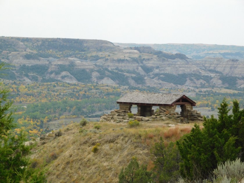
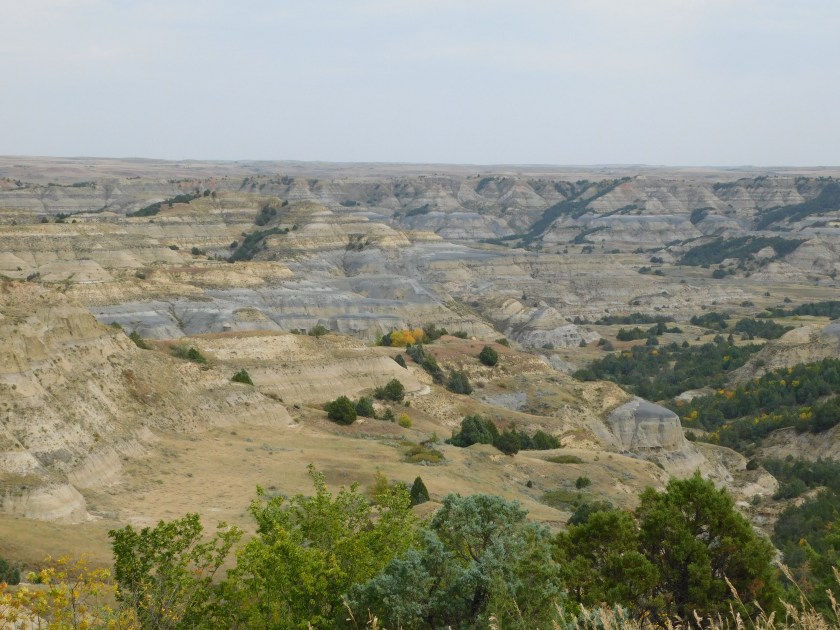
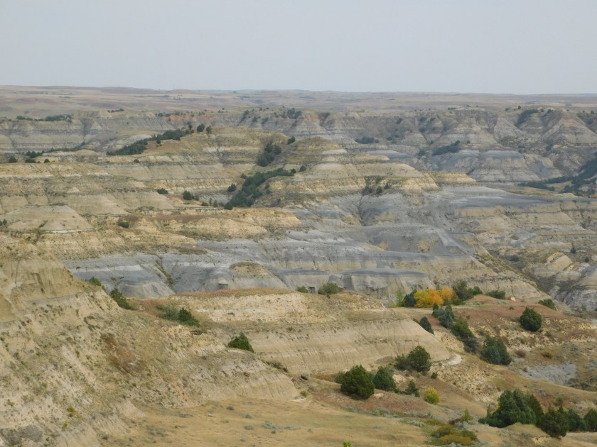
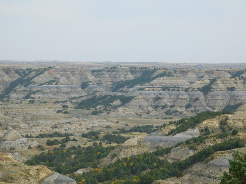
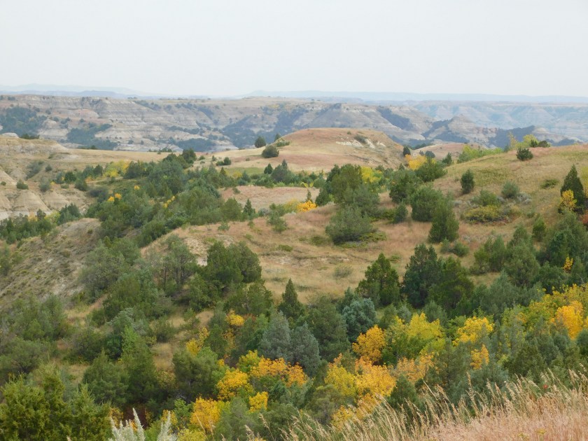
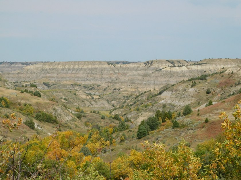
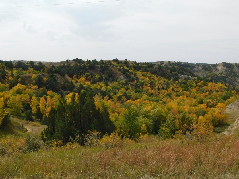
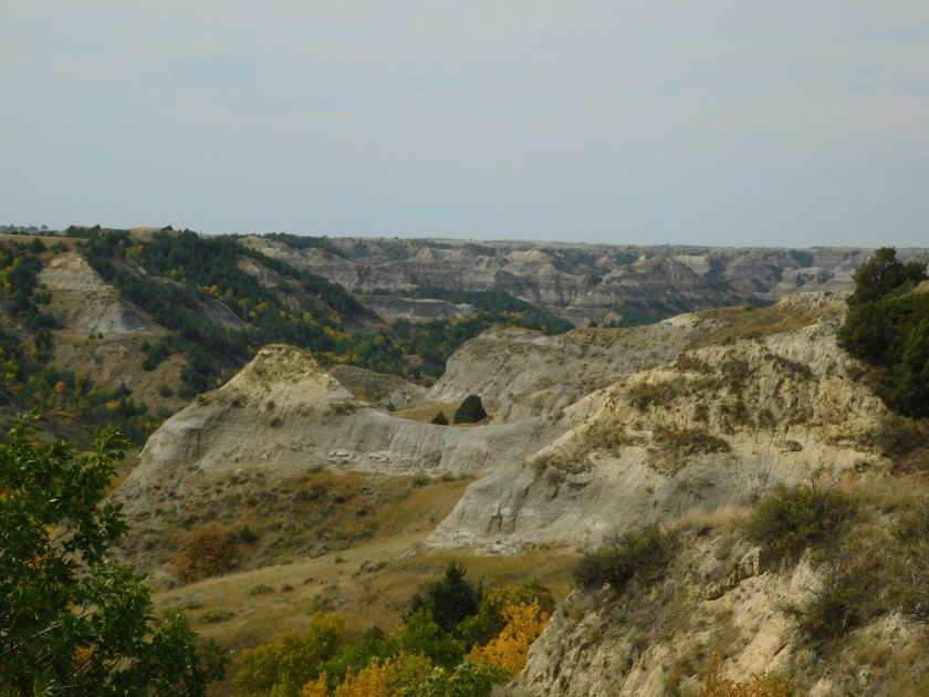
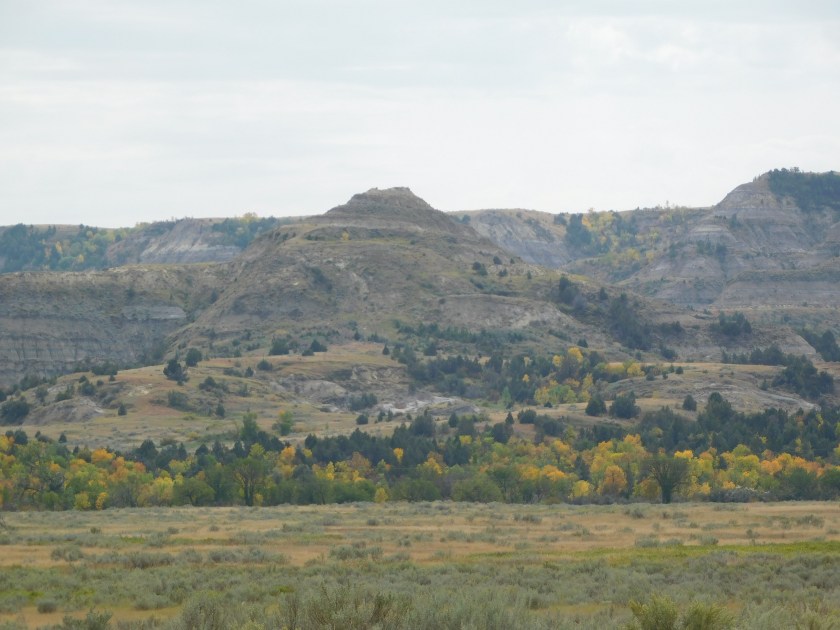
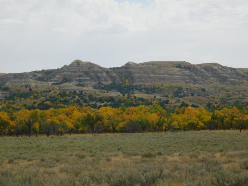
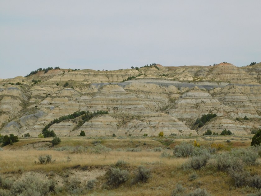
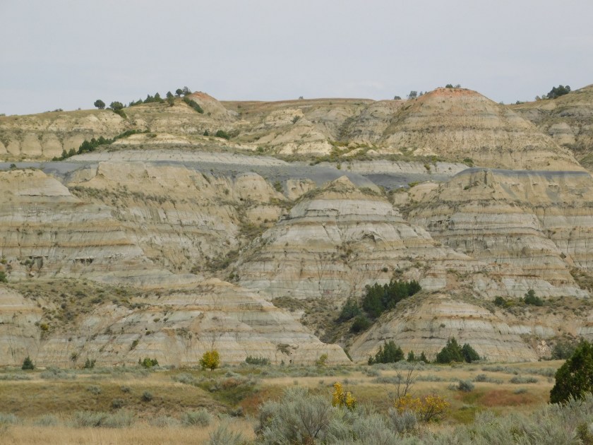
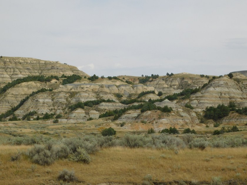
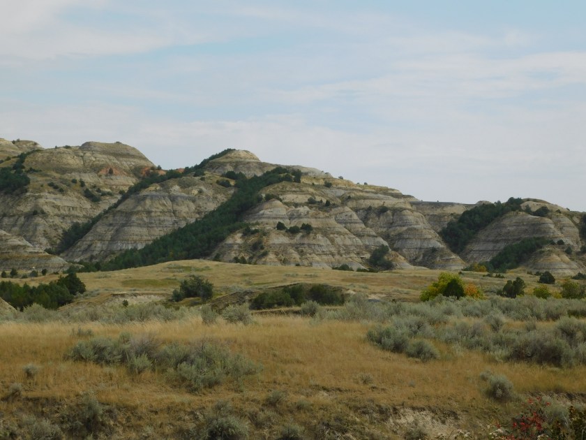
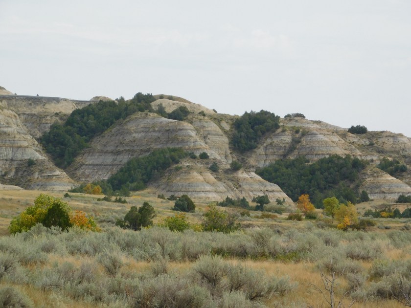
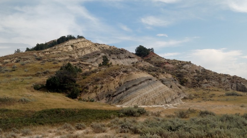
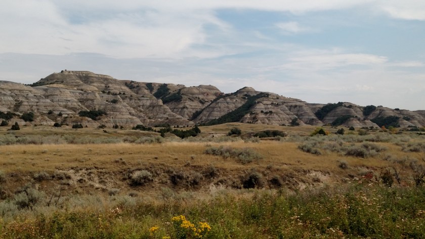
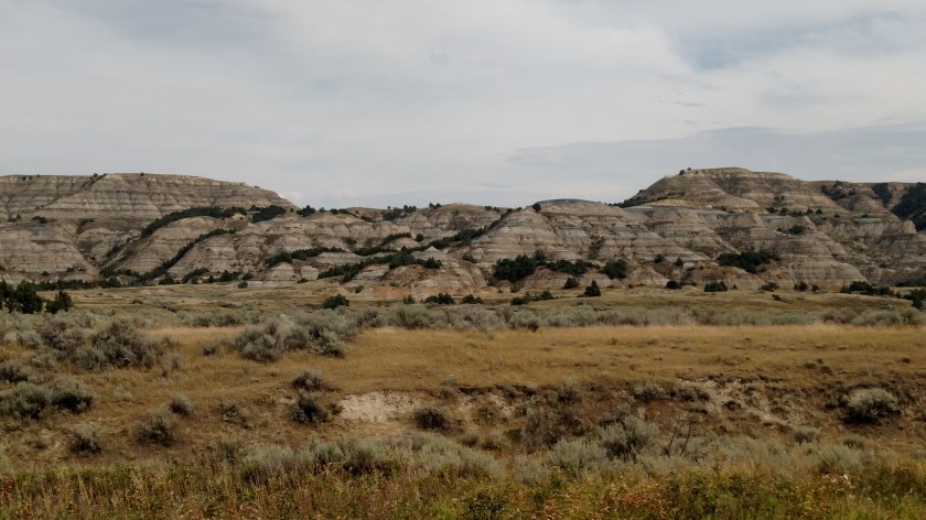
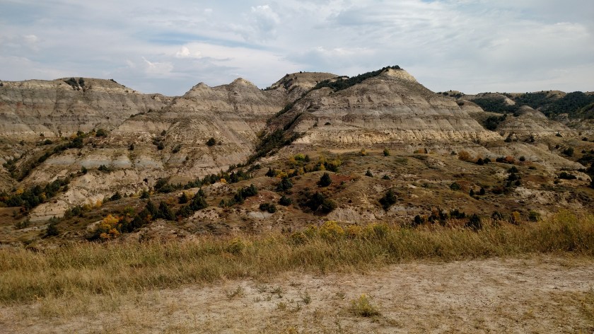
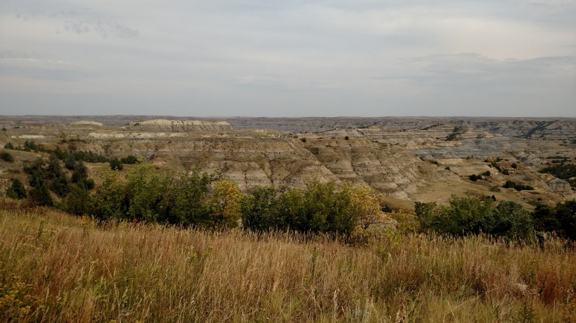
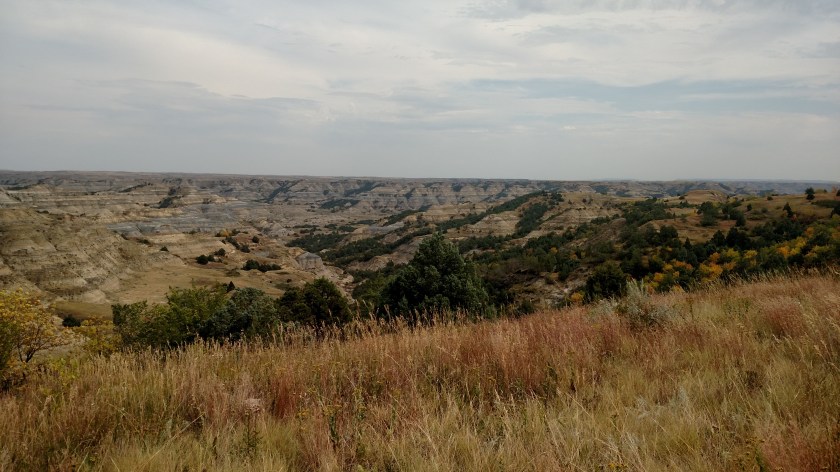
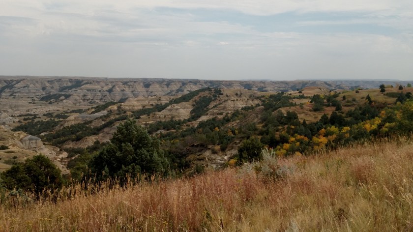
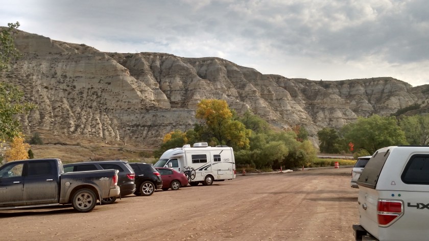
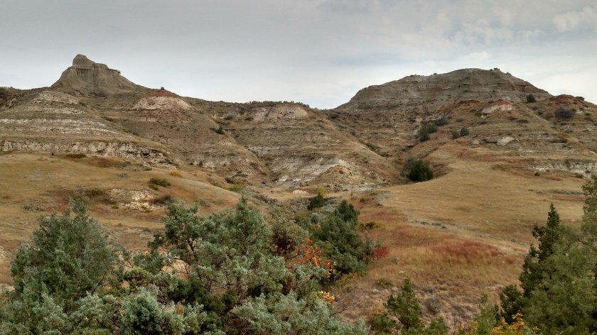
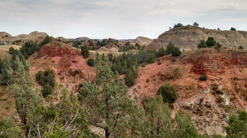
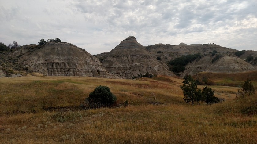
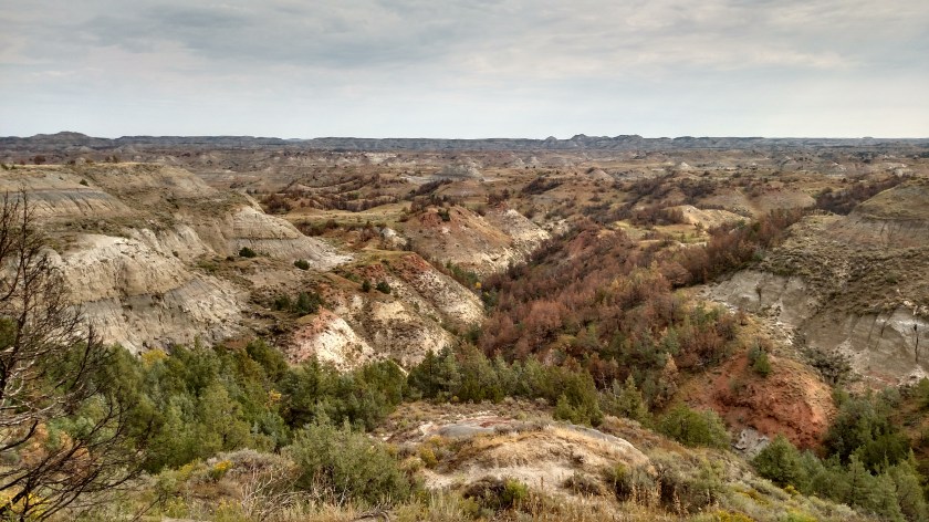
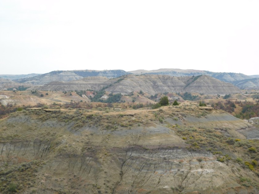
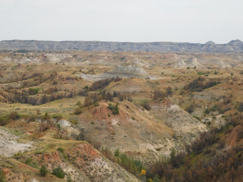
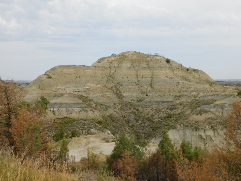
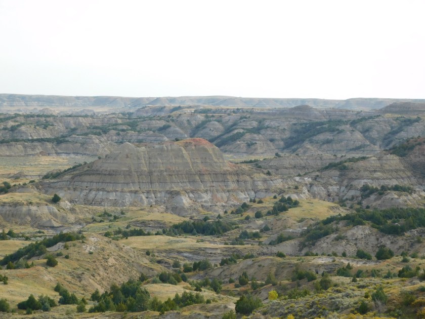
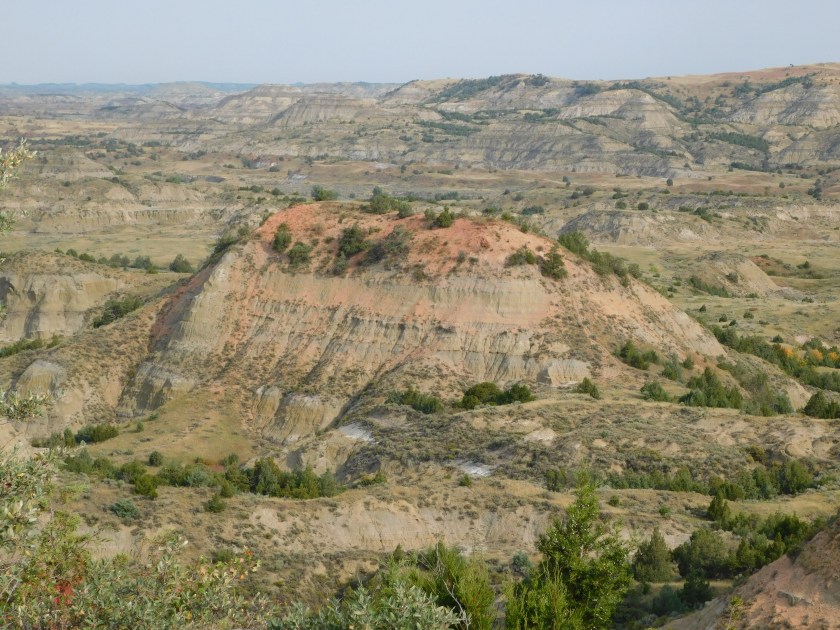
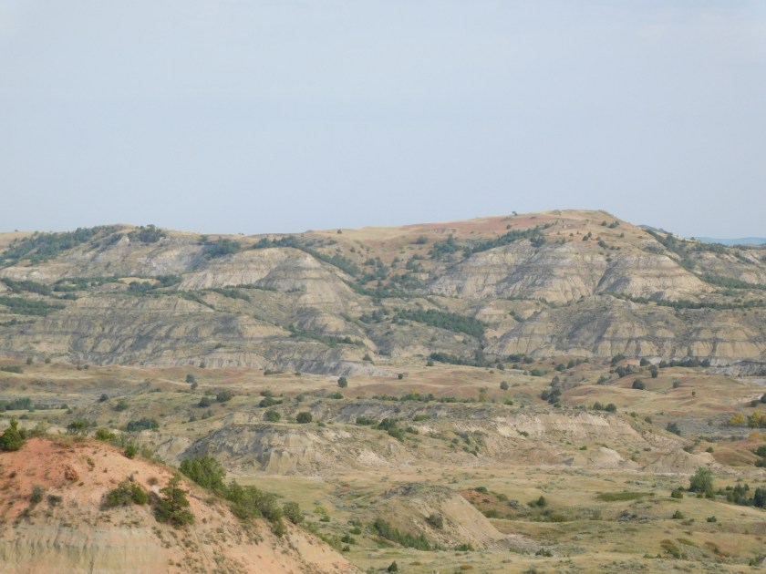
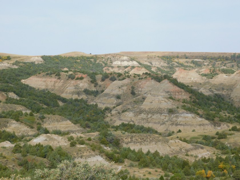
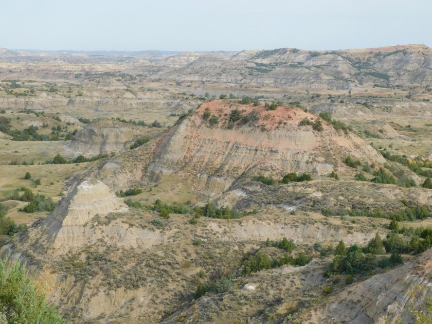
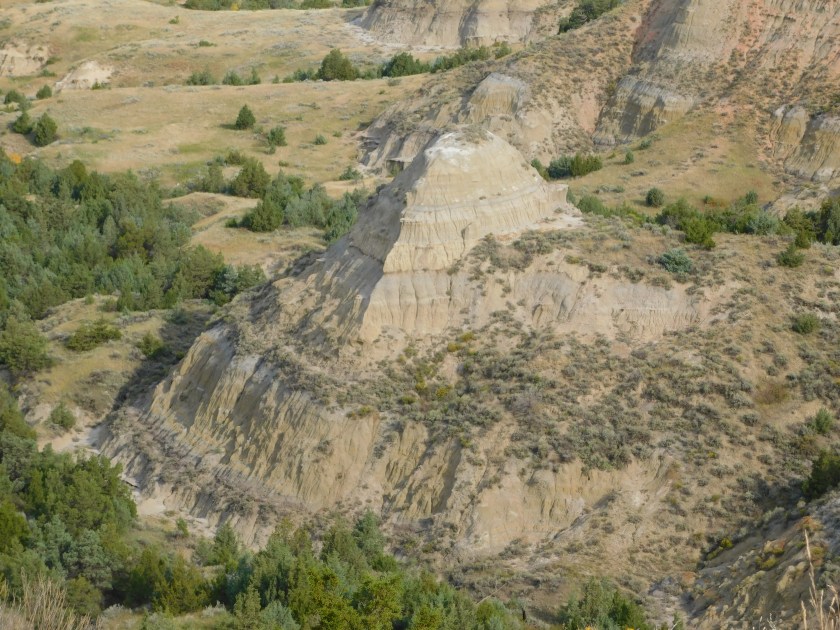
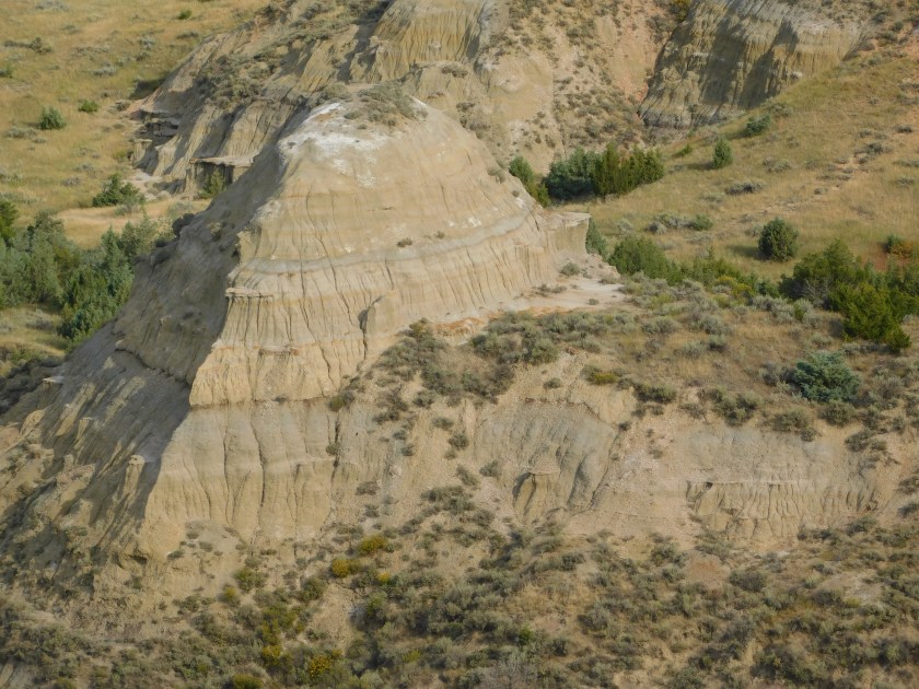
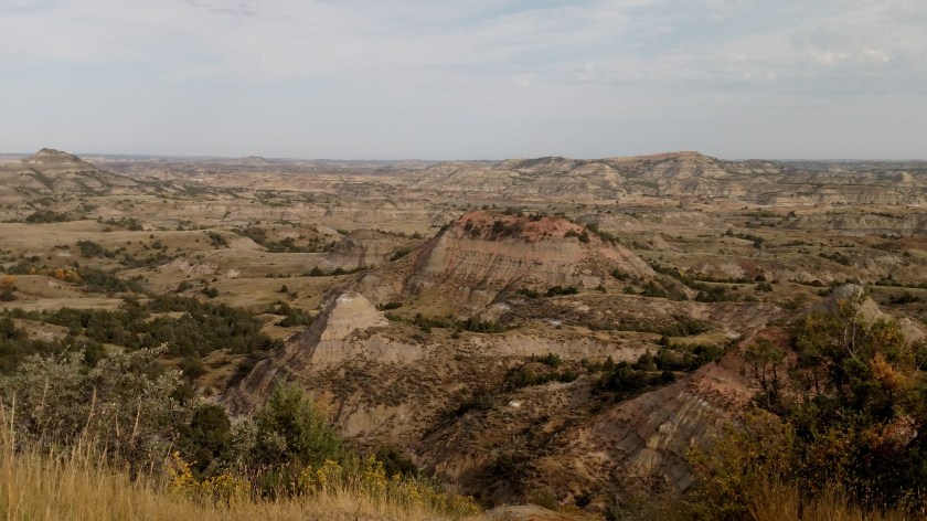
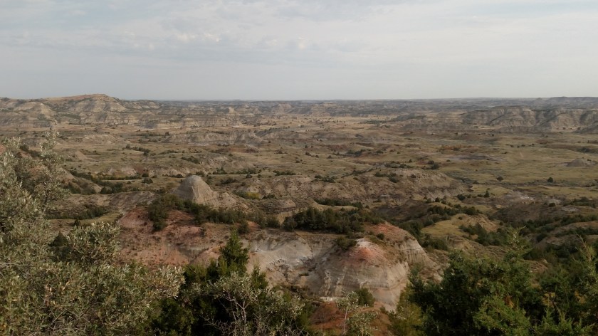
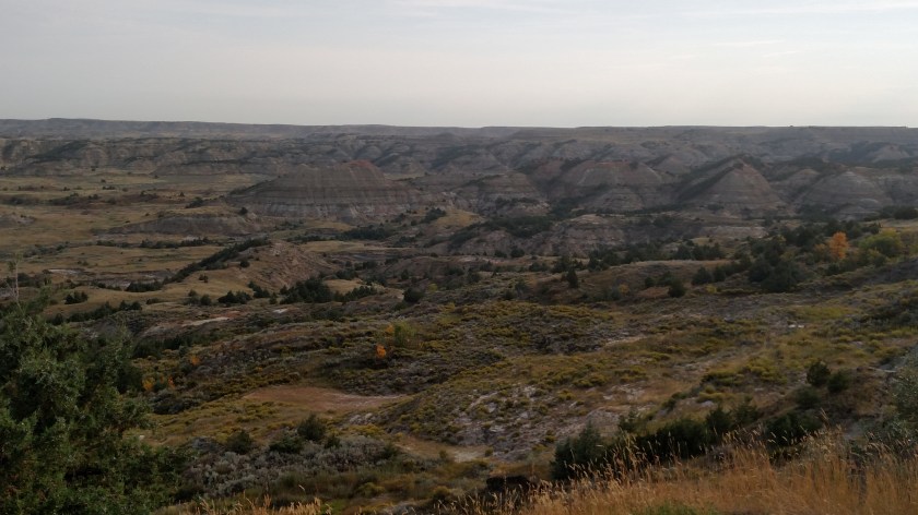
Thursday when I drove to Bismarck (south-central ND) from Havre (north-central MT) I put a total of 566 miles on the car, more than any one-day total this trip, excluding the three travel days to make a beeline to Colorado at the beginning. This confirmed something I have long suspected – Montana is a very big state, and apparently North Dakota is too. Saturday I traveled west of Bismarck to Theodore Roosevelt National Park and it was 140 miles just to get to the south entrance and I put a total of 532 miles on the car for the day, making a rectangle to both the north and south “units” of the Park and an 80-mile sidetrip before returning to Bismarck.
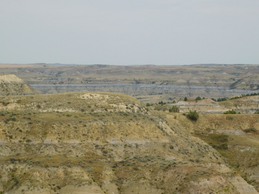
This was a lake I passed on my way in to town on Thursday:
It is Lake Sakakawea, north of Bismarck, and I read in some information I got at the Visitor Center on Friday that the coastline around the lake is longer than the entire California coastline with the Pacific Ocean!
Here are some other fun facts about North Dakota:
The parking meter was invented here.
They have more miles of road, golf courses and millionaires per capita than any other state.
They are the leading US producer of spring wheat, durum wheat, sunflowers (I have seen far more fields of sunflowers here than I saw in Kansas either of the past two years), barley, pinto beans, canola, flaxseed, lentils, oats and honey.
They have the only synthetic natural gas producer in the country.
They have 63 wildlife refuges, more than any other state.
The highest and lowest temperatures in the state were both recorded the same year, -60 degrees in February 1936 and 121 degrees in July of that year.
Now you know!