May 29, 2017
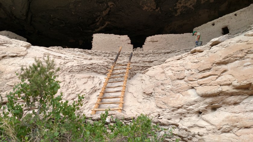
After visiting Gila Cliff Dwellings National Monument in southwest New Mexico I took a series of small, scenic roads back out towards a major highway which would take me back down to Las Cruces. This wasn’t on my radar but I saw signs for the City of Rocks State Park (not to be confused with City of Rocks National Reserve in Idaho) and had time so I stopped at the Visitor Center to learn more about it.
Two maps to give you the lay of the land:

(Photo credit: campsitephotos.com)
I was now at the red symbol in the center of the map shown above, having driven southeast from north of Silver City with my ultimate destination being Hatch, on the right side of the map.
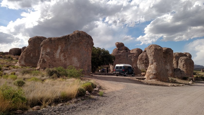
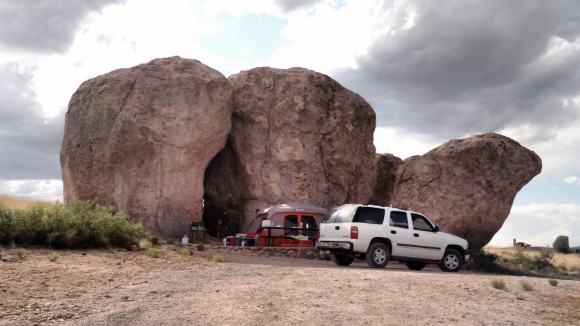
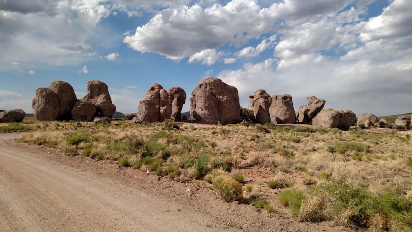
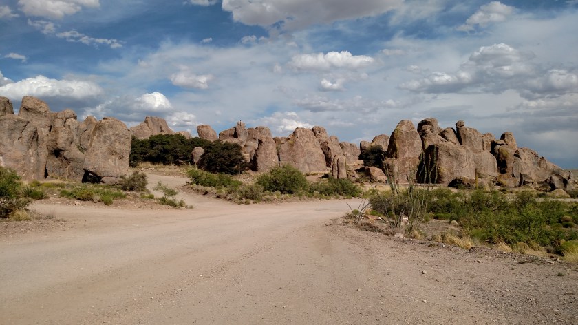
City of Rocks State Park is a 1,200 acre field of huge volcanic boulders which fell here after an eruption in the Emory Caldera almost 35 million years ago.

(Photo credit: researchgate.net)
The Emory Caldera is the large blue oval in the lower central portion of the map above. The area just south of that blue oval (which contains the number 34.9) is where these boulders now rest. There is also a smaller yellow area, with the number 28.1 in it, which is a caldera where the Gila Cliff Dwellings are located.
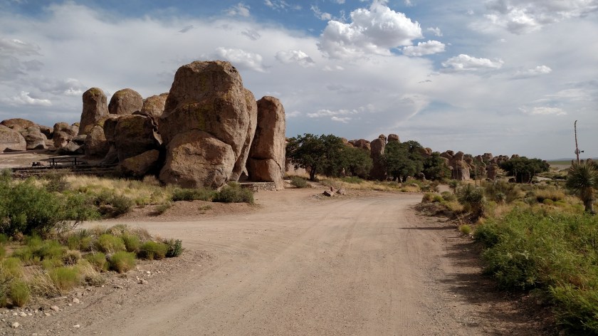
As the name indicates, this is now a New Mexico State Park and there are roads and walking paths which meander through the boulder field. Many of the clusters of boulders are now overnight campsites or day use picnic areas.
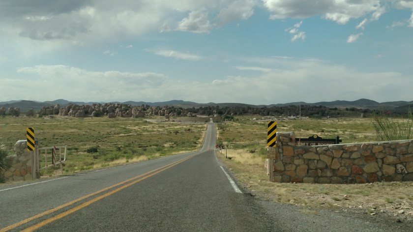
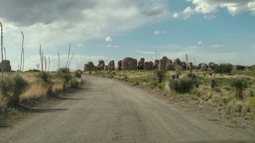
You can see many of the boulders off in the distance as I drove in the entrance road.


After driving through the Park I headed back out to the main road and continued on to the little town of Hatch. If that name seems familiar it is probably because you have heard of or consumed Hatch hot peppers (usually a memorable experience), which are grown there.
After that I returned to Las Cruces for dinner and my final night there. Having reached the westernmost point in this trip I will start heading back east, albeit slowly, tomorrow.