July 22, 2019
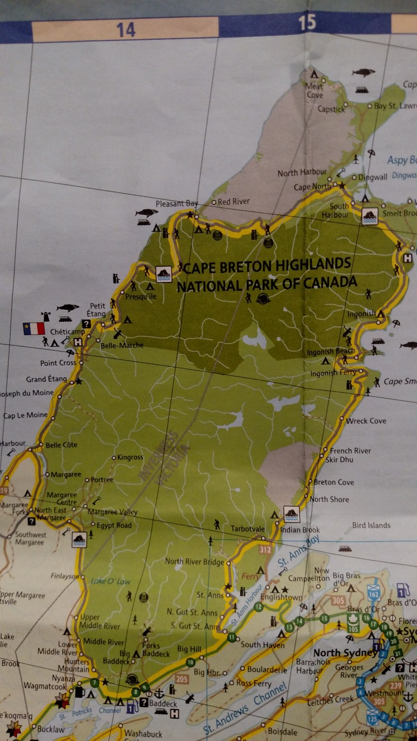
I traveled along most of this 185 mile loop yesterday. It continues up the west coast of Cape Breton Island from Margaree Forks, where Route 19 ended. I would be on this road for about 25 miles before crossing in to Cape Breton Highlands National Park. I would be in and out of the Park (the darker green area on the map below) several times before exiting it on the east coast at Ingonish Beach. The Cabot Trail continues south to Hunter’s Mountain before looping back northwest to Margaree Forks.
Here are some of the things I saw:

Yet another harbor, this one at Grand Etang. On the right you can see a fishing boat that had just come back in to the harbor.

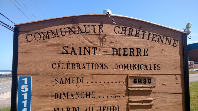
This is a majestic church in Cheticamp:

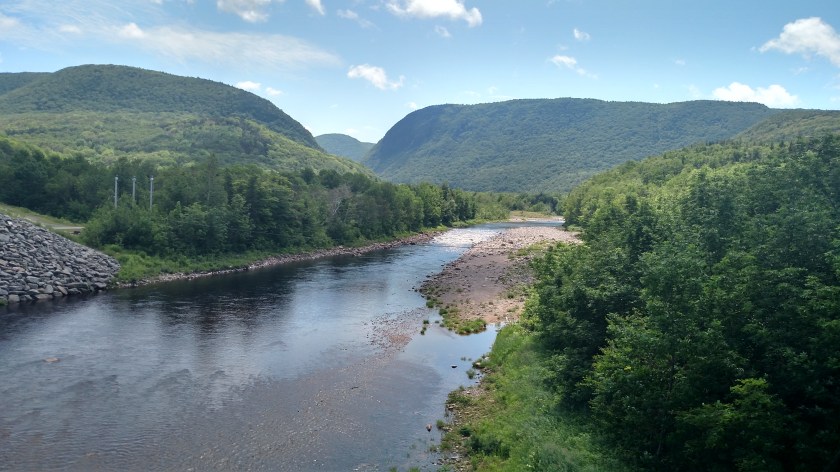
And this was a view crossing a bridge over the Cheticamp River, just before the southwest entrance to Cape Breton Highlands National Park:
I am posting this Tuesday morning. I am planning to go back to the north end of the island later today but I woke up to steady rain which has let up slightly but there is another batch coming. There may be a break later so I need to get up there before it does. I wasn’t expecting rain until tomorrow so maybe it will get in and out early…
I may get back to North Sydney early to post more of yesterday’s photos and get a badly needed haircut!
